Elevation of South Los Altos, Los Altos, CA, USA
Location: United States > California > Santa Clara County > Los Altos >
Longitude: -122.06954
Latitude: 37.3500677
Elevation: 66m / 217feet
Barometric Pressure: 101KPa
Elevation Map:
Satellite Map:
Related Photos:
Plastic Lifesaver

Snail In Hose
Belly Balls

Gnarled Oak

Color On Weathered Grey

IMG_1380 Let Me Feed You, Honey.
Morning Tree

Fire breathing dragon

IMG_5922 Forster's Tern Hovering, Mountain View Shoreline Park, California

teeny tiny

California Coastal Fog (explored)

DSC01246.JPG
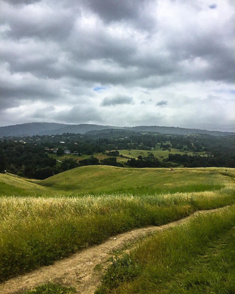
views for days ???? #raggedpoint #bigsur #hiking #landscape #wilderness #optoutside #california

IMG_7898.jpg
Road C, view back towards intersection with road D.
View east down Road F just east of intersection with trail 15.
In The Alley

IMG_2314 Forster's Tern

IMG_1868 Forster's Tern, Mountain View Shoreline Park, CA

Northern Harrier-IMG_1671-MV baylands-Crop
Balloons In A Truck

Heavenly Shades of Night are Falling -- Reprise

Fields of Gold

Somewhere in heaven

Home on the Farm
#hiking #california #nature

Heavenly shades of night are falling, it's twilight time ...
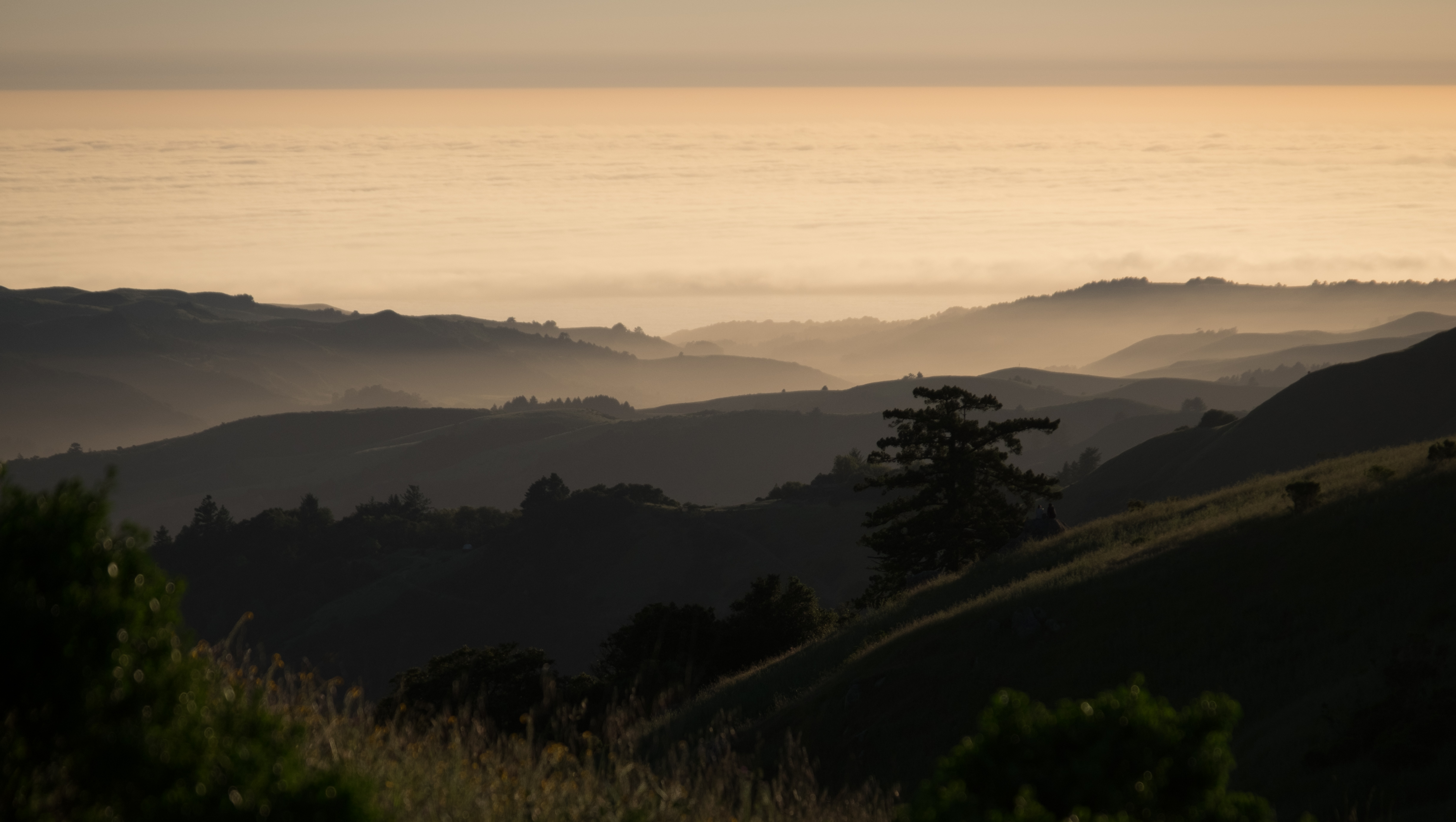
Fog to the horizon
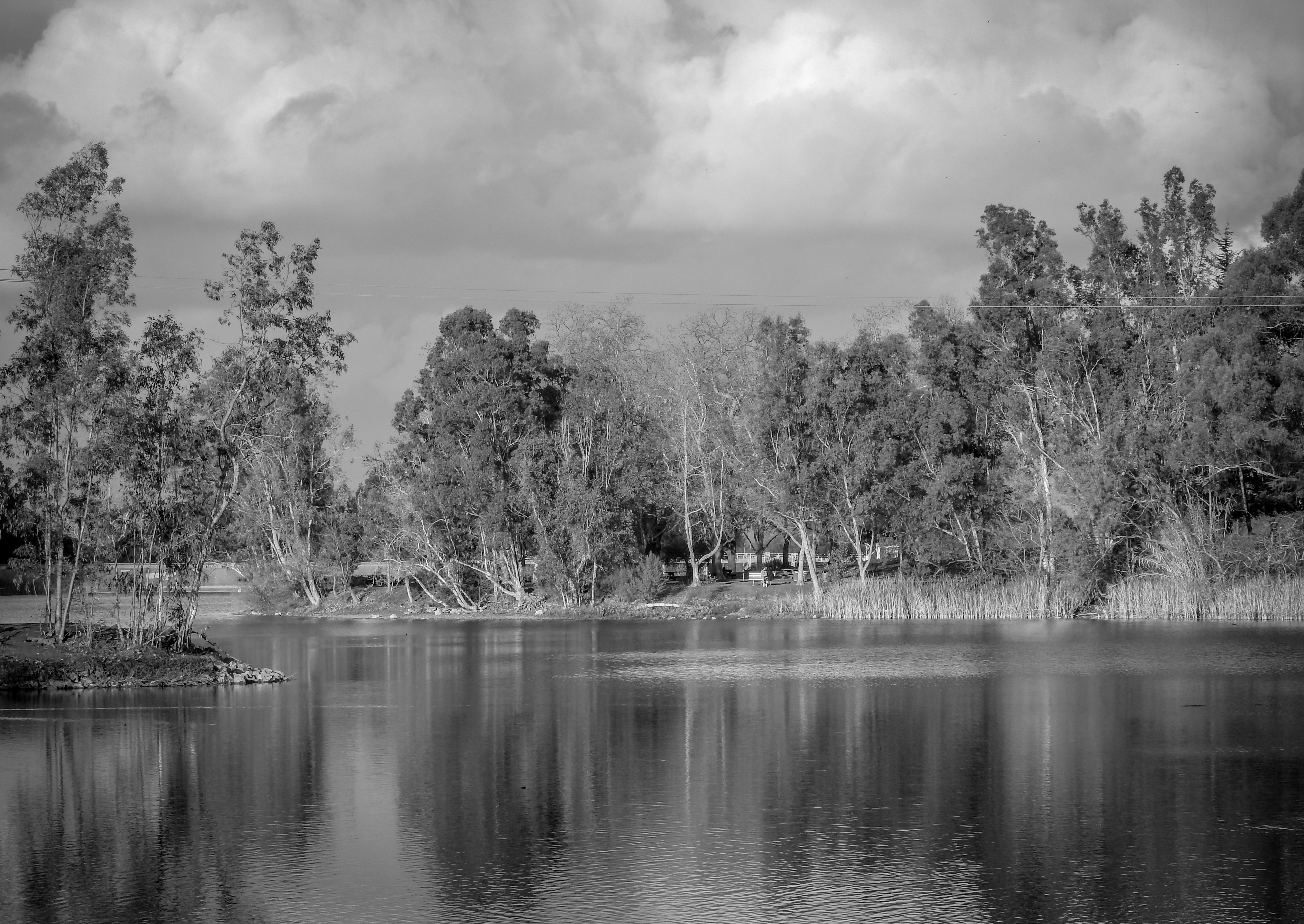
Vasona Lake
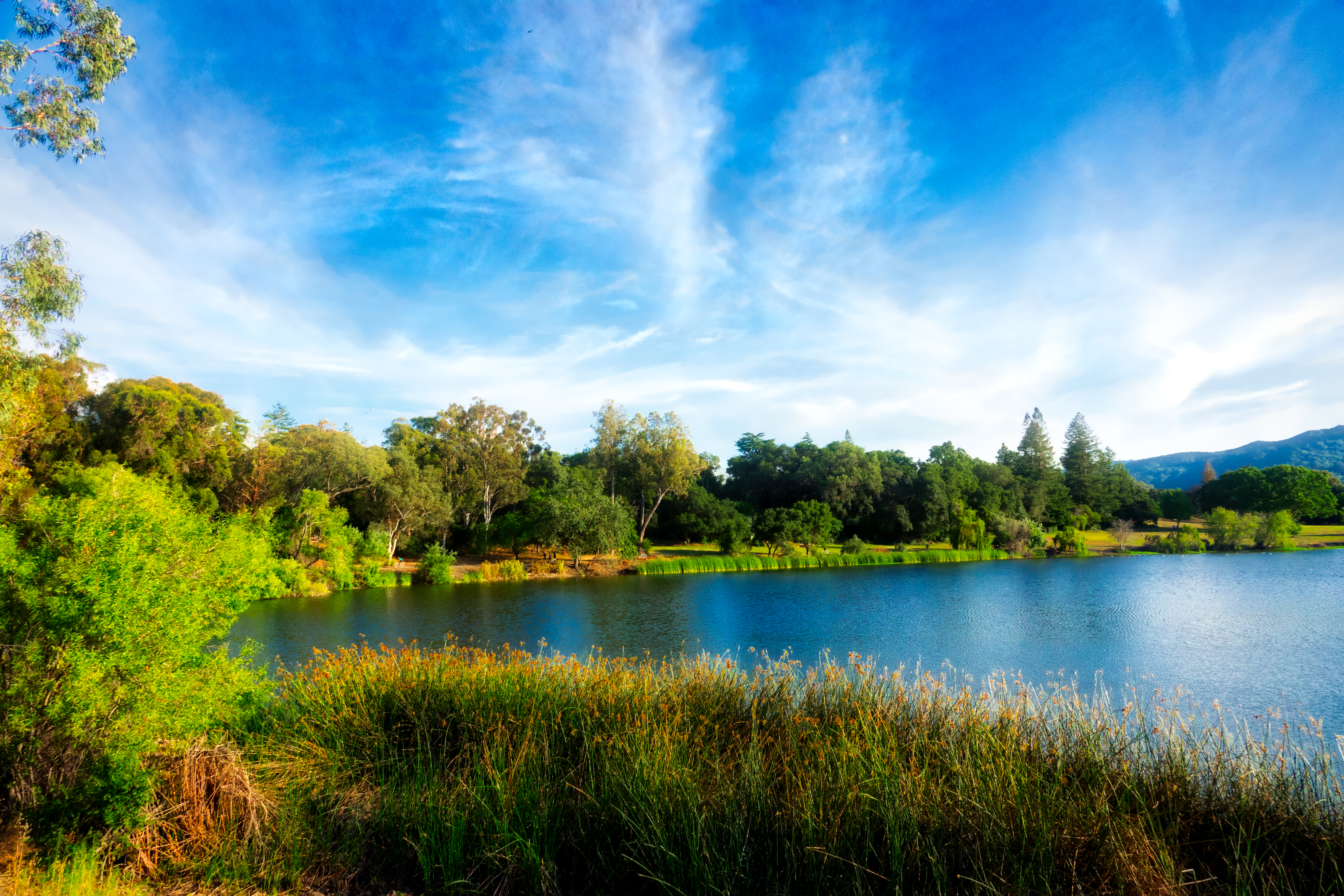
Vasona Lake HDR - Happy Sliders Sunday

Great Long, Slow Day on the LG Creek Trail. The #408 has the best weather in the Bay Area #TeamRunTheBay #RunLocal #GetOnnit #nikeplus

Clouds at sunset - Happy Sliders Sunday
Vasona Lake

WP_20170511_05_46_28_Pro (2)

Arastradero Pasture
morning light in Saratoga Creek
Monte Bello Open Space Preserve
Palo Alto Baylands

Trail to Heaven
Skyline Sunrise
Topographic Map of South Los Altos, Los Altos, CA, USA
Find elevation by address:

Places near South Los Altos, Los Altos, CA, USA:
1641 Parkhills Ave
1864 Alford Ave
1492 Elnora Ct
1760 Lantis Ln
Foothill Expy & Arboretum Dr
Foothill Expy & Arboretum Dr
Foothill Expy & Grant Rd
Foothill & Homestead
1717 Marshall Ct
Woodland Acres - The Highlands
1247 Windimer Dr
22250 Homestead Rd
22162 Bitter Oak St
22351 Creston Dr
1609 Honfleur Dr
1605 Kalispell Ct
1426 S Mary Ave
1556 Samedra St
Nice Place
830 Corvallis Dr
Recent Searches:
- Elevation of Corso Fratelli Cairoli, 35, Macerata MC, Italy
- Elevation of Tallevast Rd, Sarasota, FL, USA
- Elevation of 4th St E, Sonoma, CA, USA
- Elevation of Black Hollow Rd, Pennsdale, PA, USA
- Elevation of Oakland Ave, Williamsport, PA, USA
- Elevation of Pedrógão Grande, Portugal
- Elevation of Klee Dr, Martinsburg, WV, USA
- Elevation of Via Roma, Pieranica CR, Italy
- Elevation of Tavkvetili Mountain, Georgia
- Elevation of Hartfords Bluff Cir, Mt Pleasant, SC, USA