Elevation of 73 Harriman Pond Ln, Dedham, ME, USA
Location: United States > Maine > Hancock County > Dedham >
Longitude: -68.630627
Latitude: 44.649518
Elevation: 182m / 597feet
Barometric Pressure: 99KPa
Elevation Map:
Satellite Map:
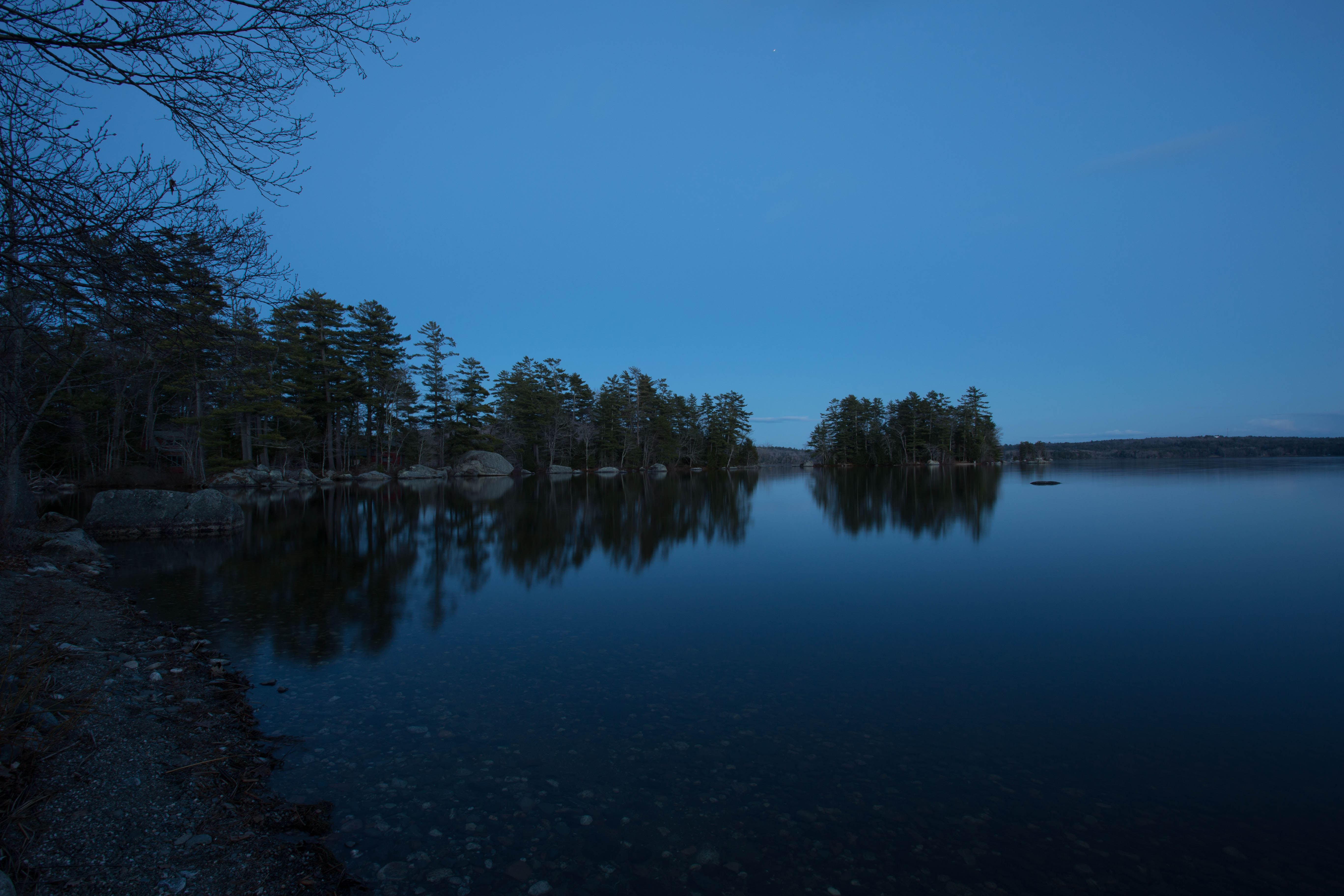
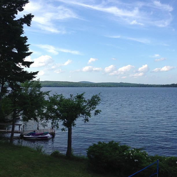
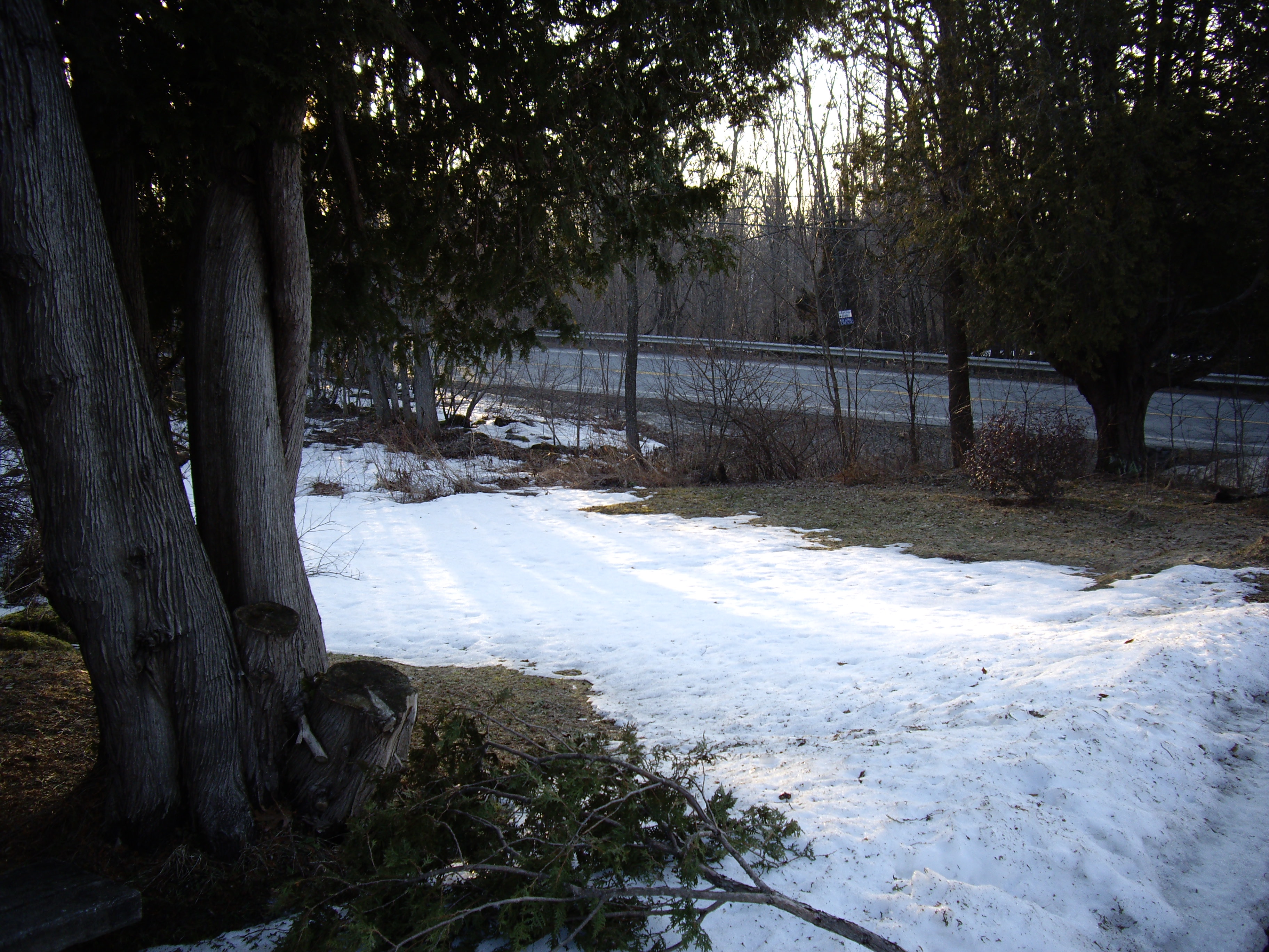
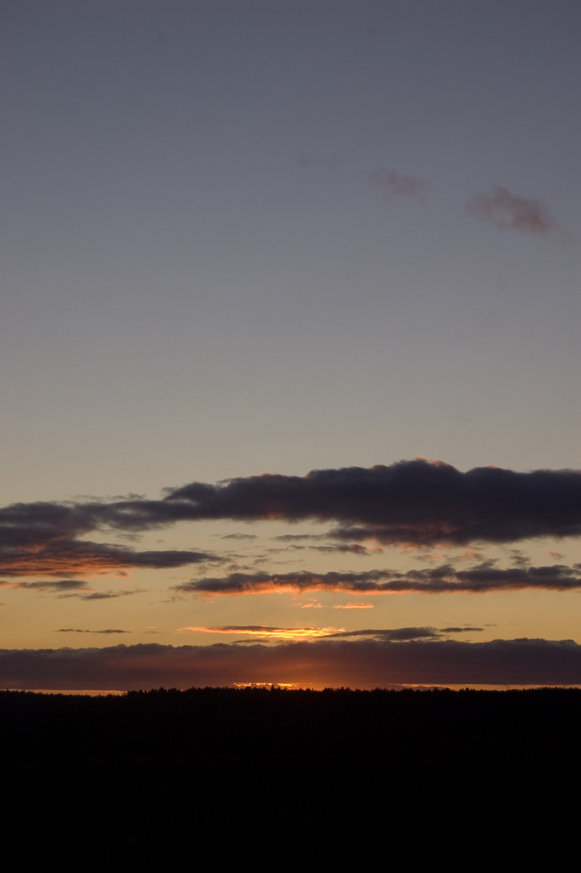
Related Photos:

Lupines during the "golden hour"

Sedgeunkedunk Stream
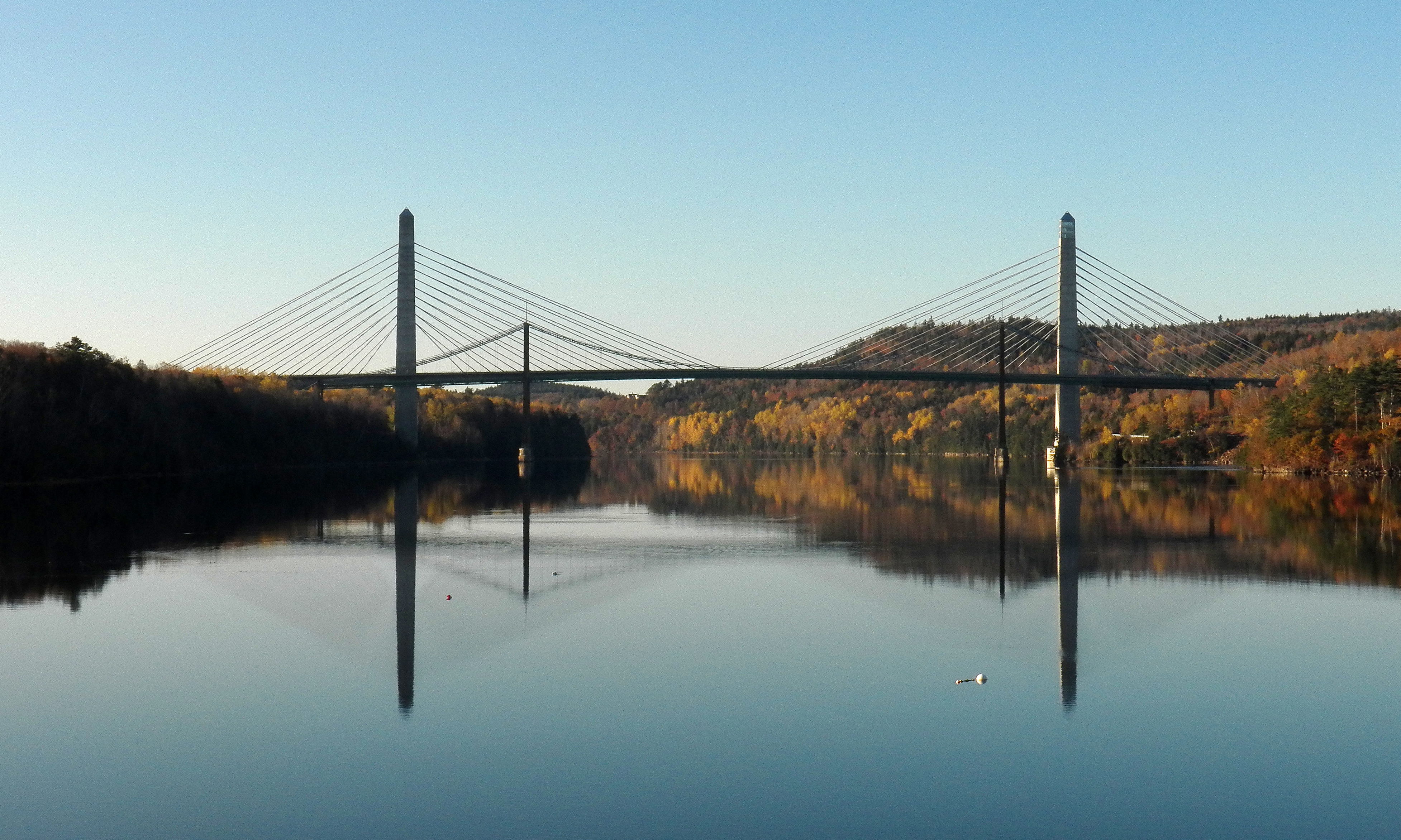
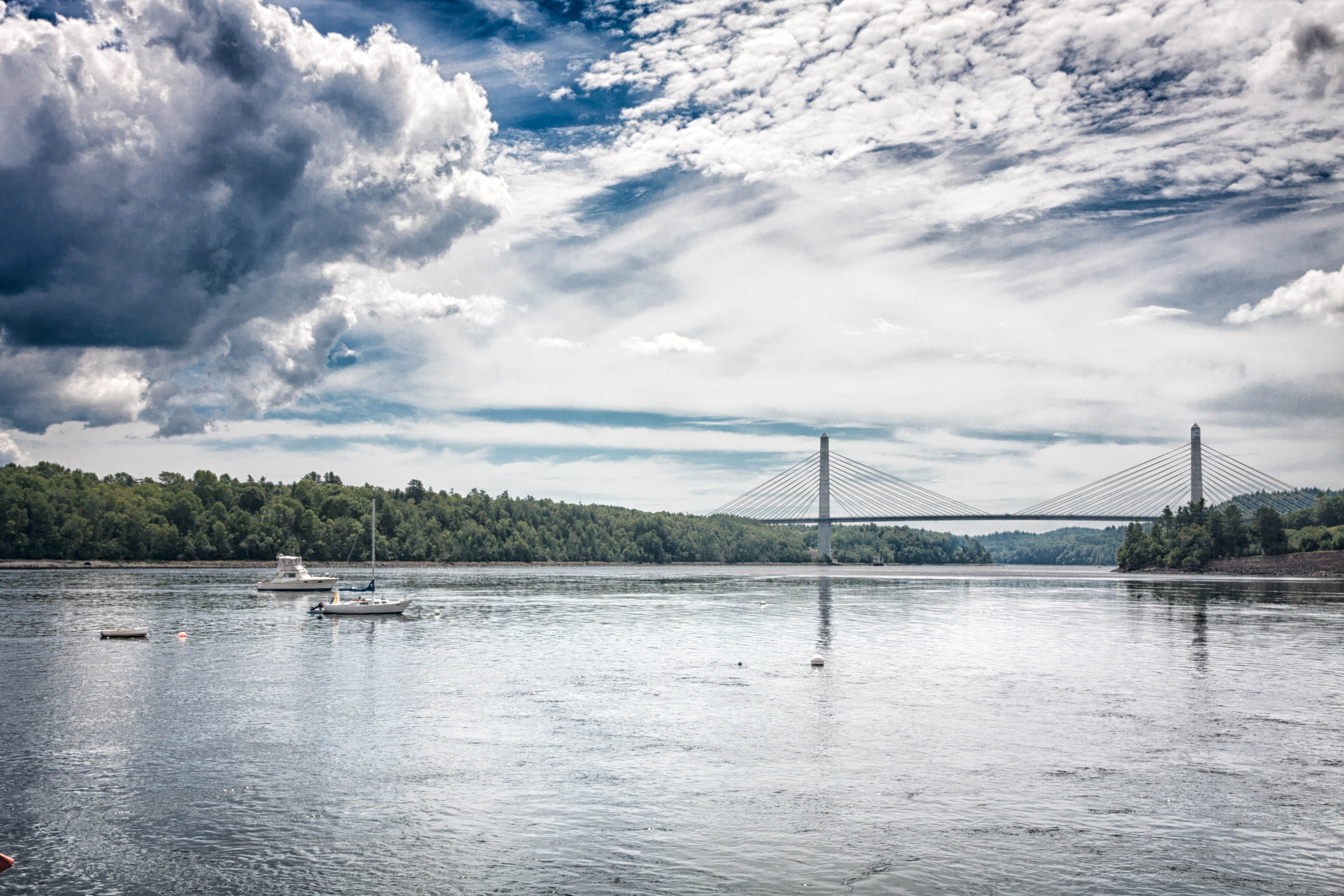
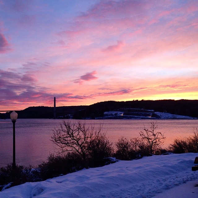
Penobscot Narrows Bridge and Observatory

Orrington Maine Audubon
Penobscot Narrows Bridge and Fort Knox
WP_20140818_19_16_13_Raw.jpg
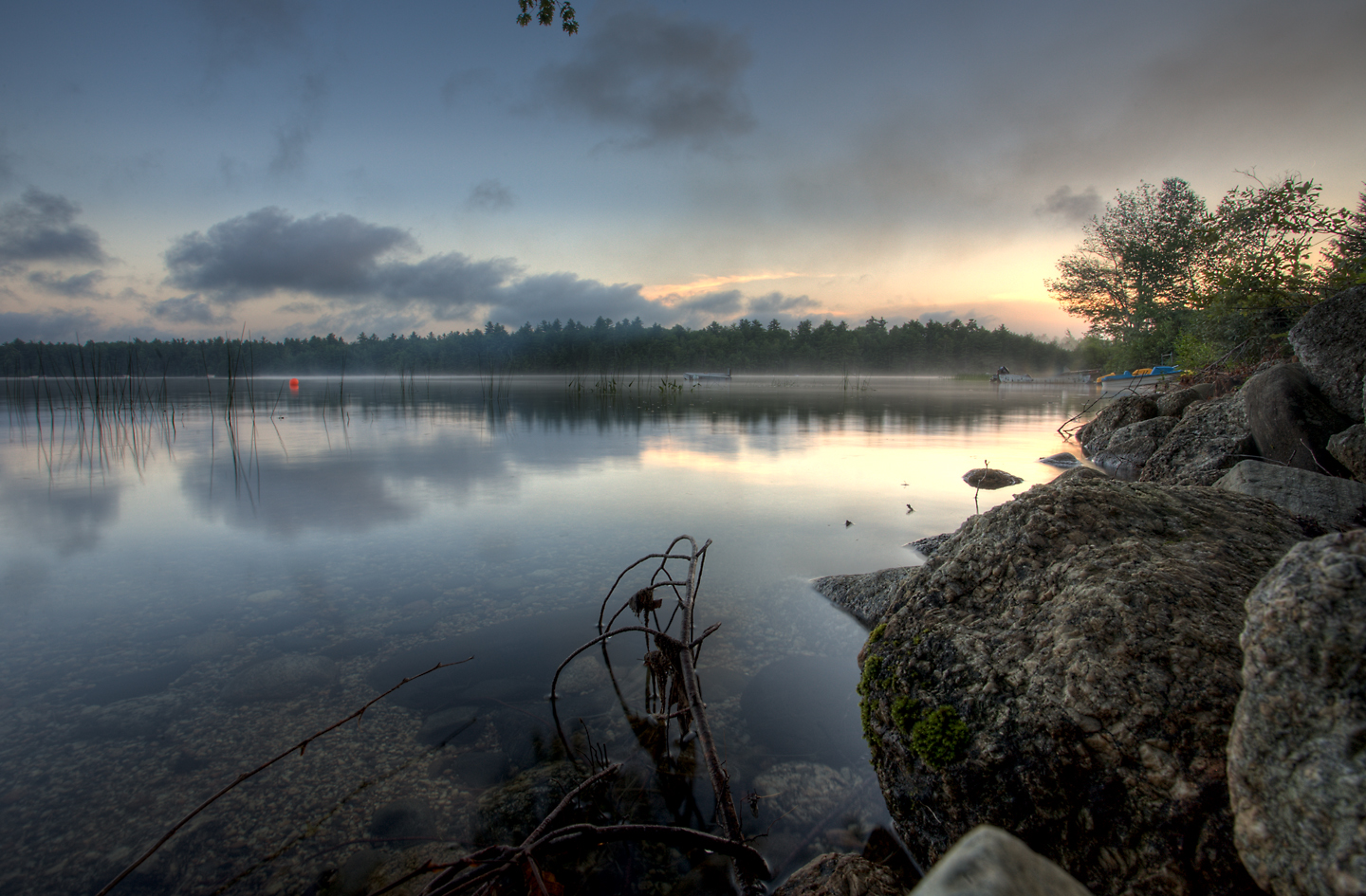
A misty Toddy Pond
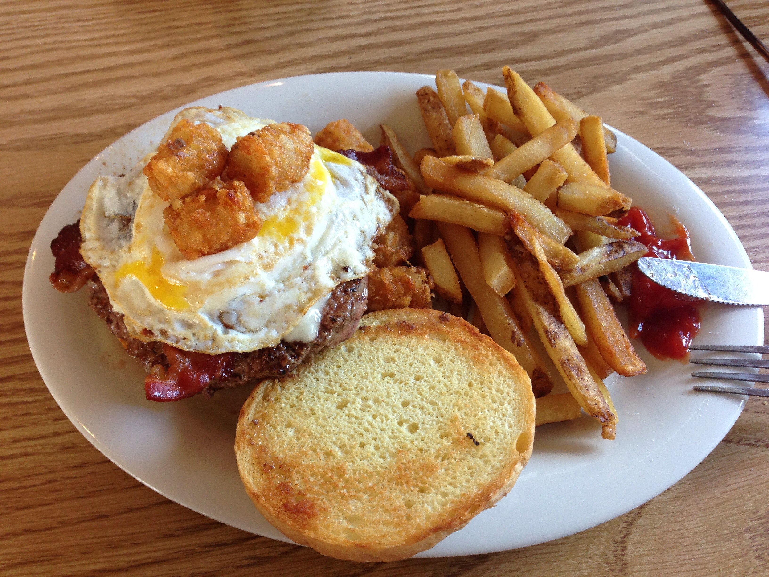
Burger at Harbor View Grille

Orrington Maine Audubon

Ruby Breasted Hummingbird
Penobscot River view in Bucksport Maine

Lupines during the "golden hour"

Orrington Maine Audubon, snowy stream
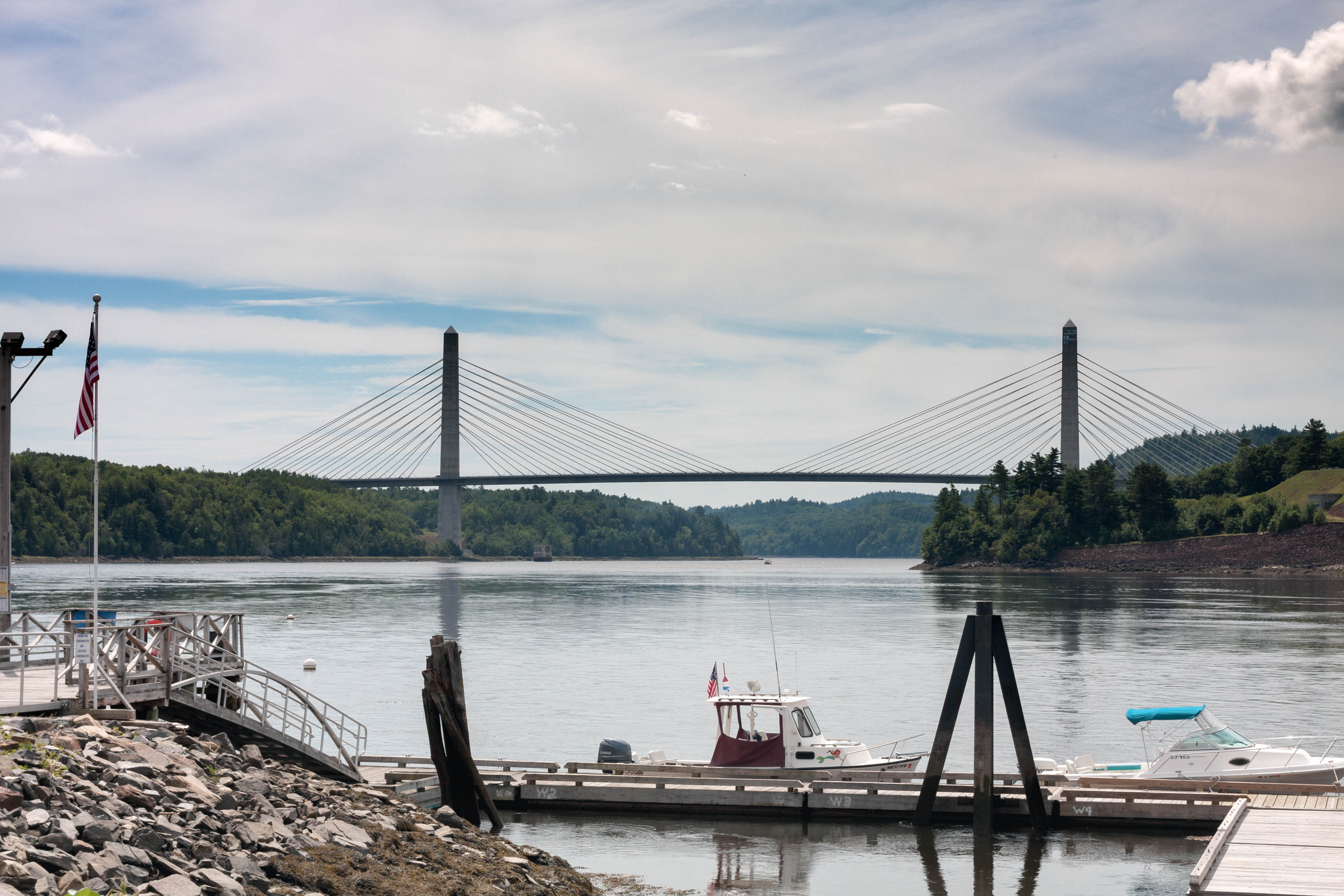
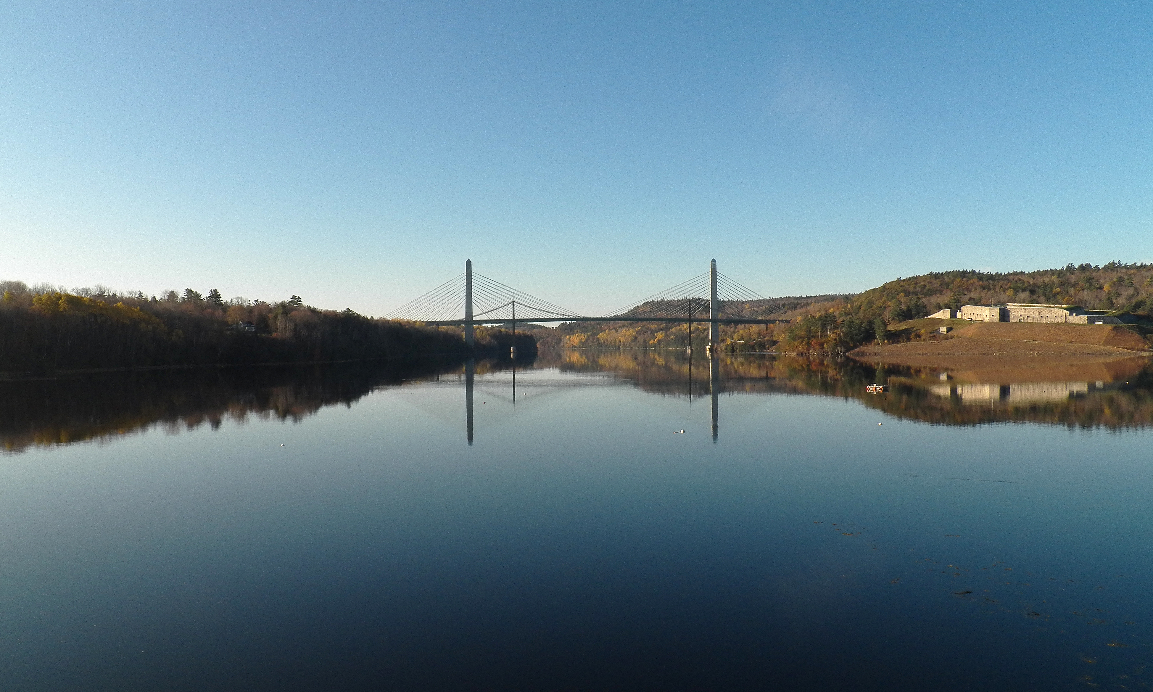
View from Bucksport of Penobscot Narrows Bridge

Lupines during the "golden hour"

The view from Treasure Cove
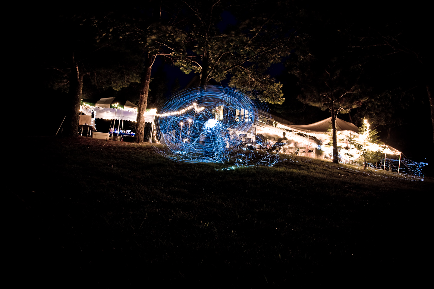
Light trails

Snowshoe Rabbit (Photo Series)
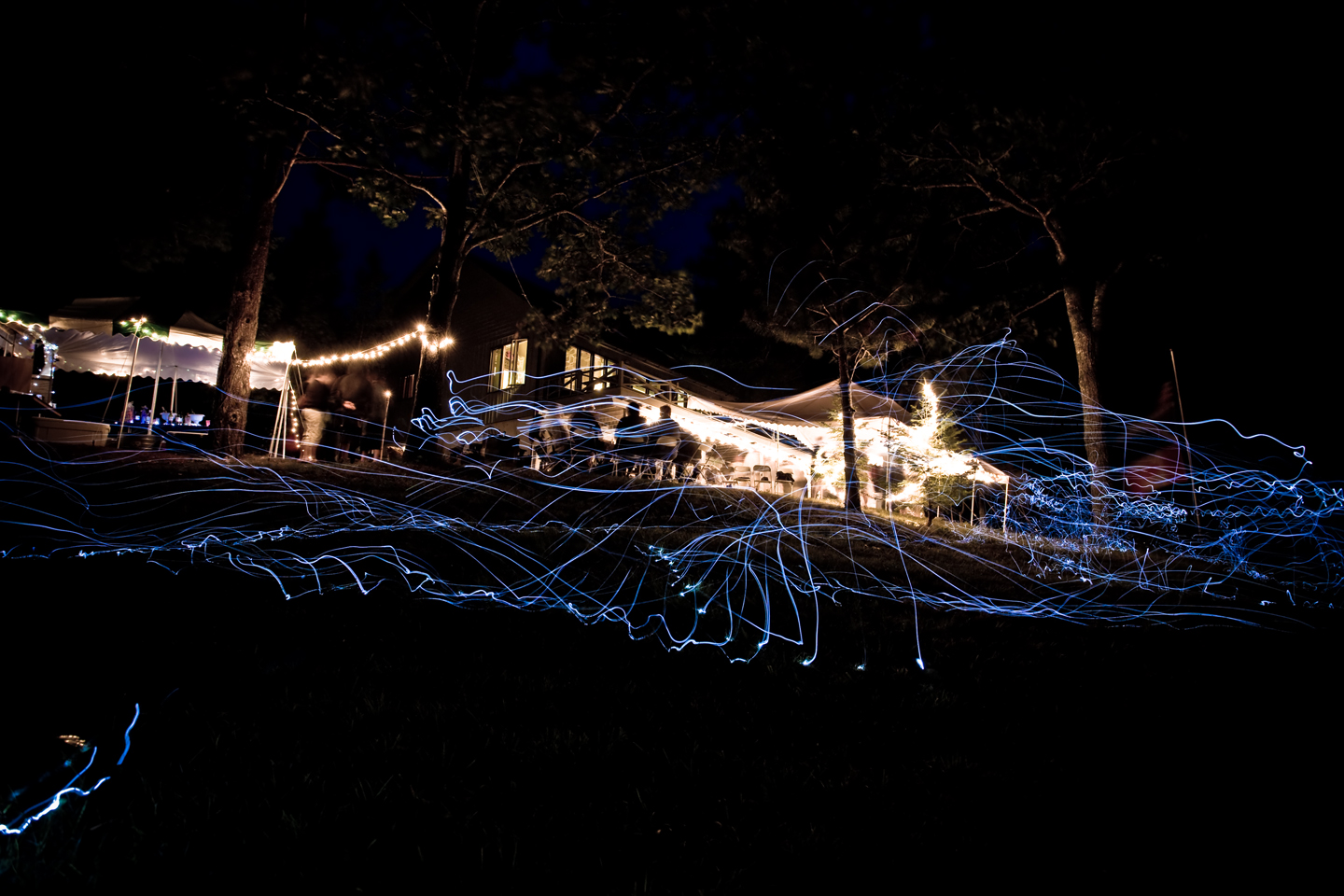
Light trails

View Penobscot Narrows Bridge and Observatory
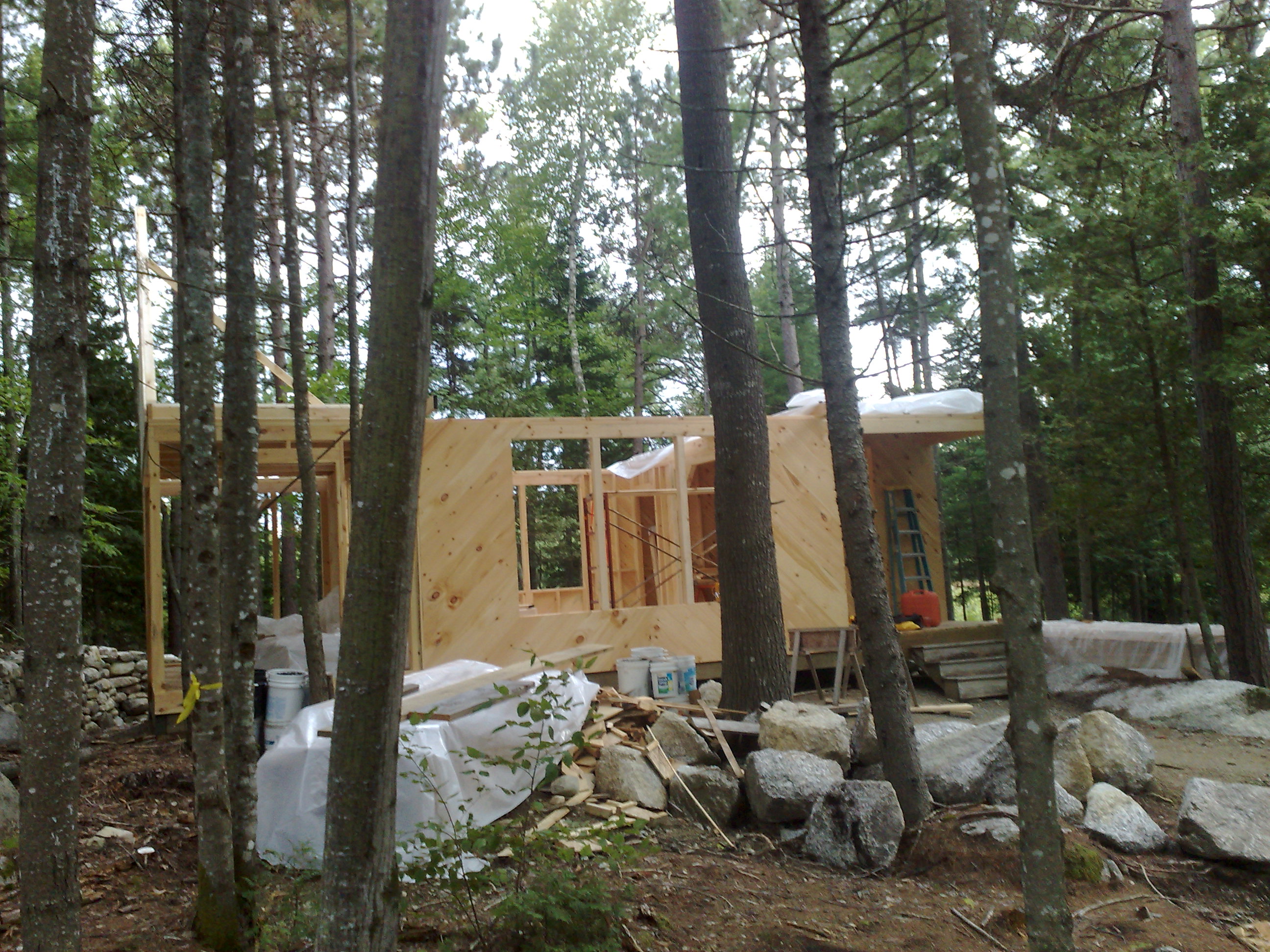
Front view, camp Sept 7, 08
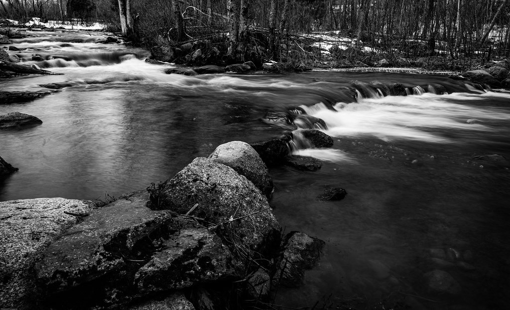
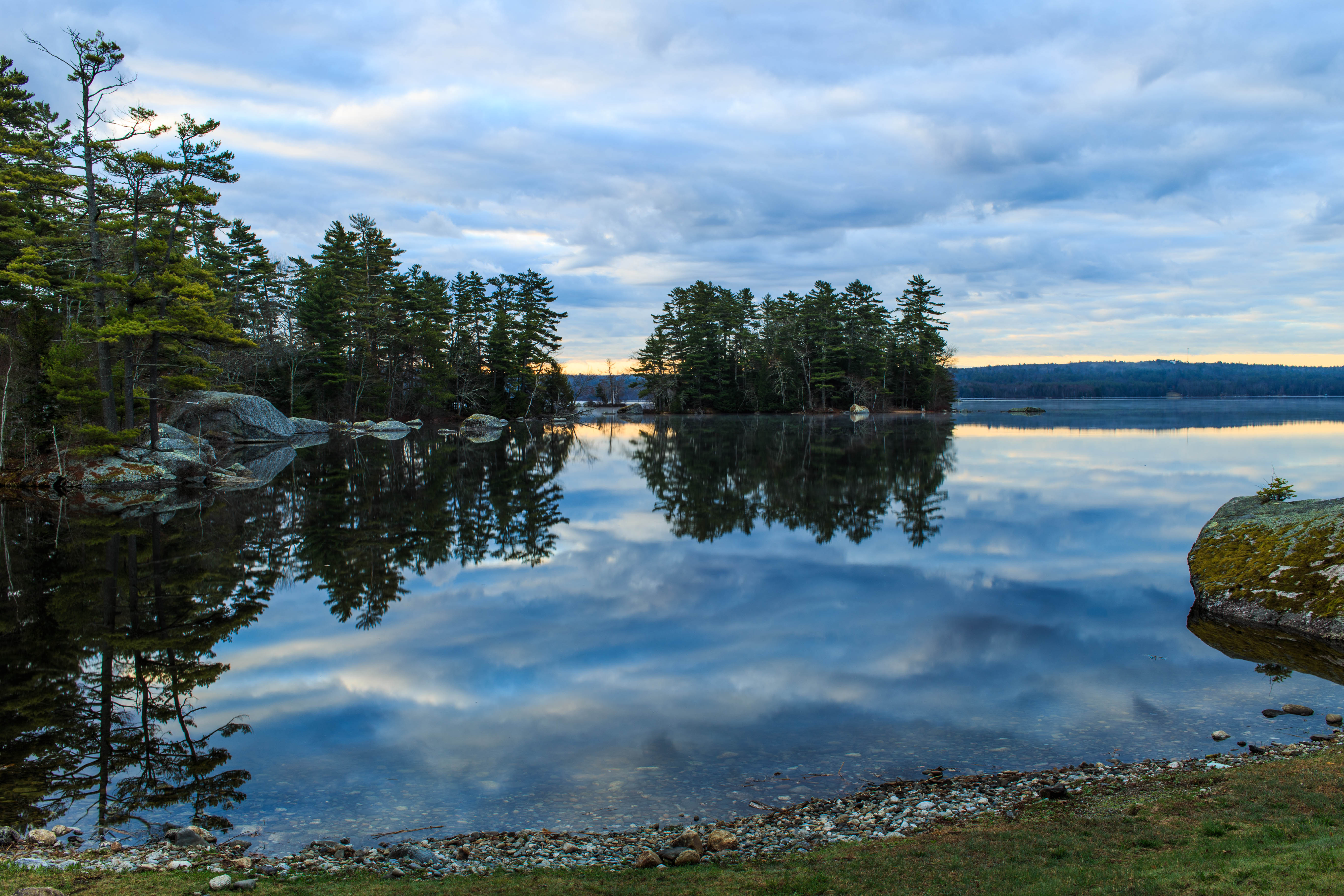
Sedgeunkedunk Stream
Lucerne, Maine
2006Jul Acadia part1 (28)
Beautiful pobd
2006Jul Acadia part1 (26)

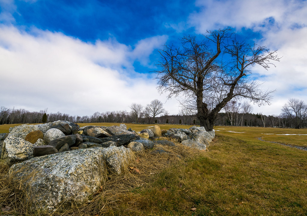
Some people say the sky is just the sky, but I say...
Rainy sunrise
2006Jul Acadia part1 (27)
Patten Pond at night under a Full Moon
IMG_0262(edit2)
Pretty sky at work this evening.
_MG_3210.jpg
#camplife #maine

2013-07-06 17.18.35
future pond site

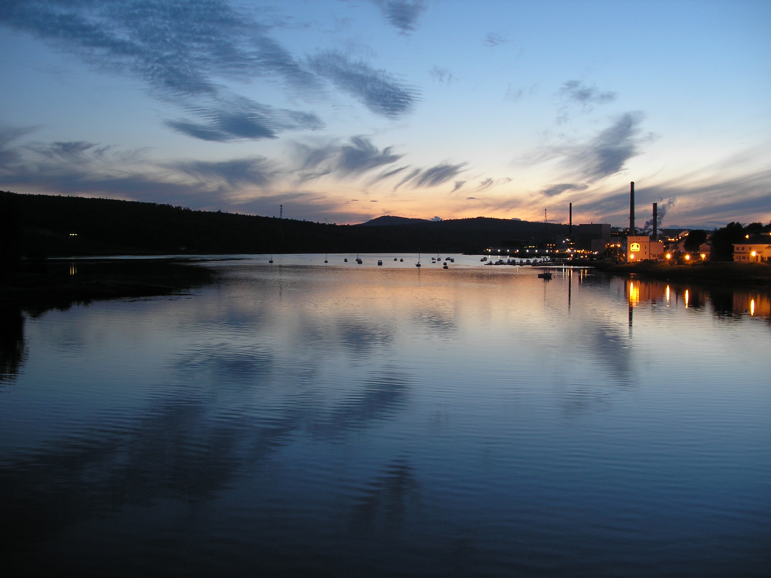
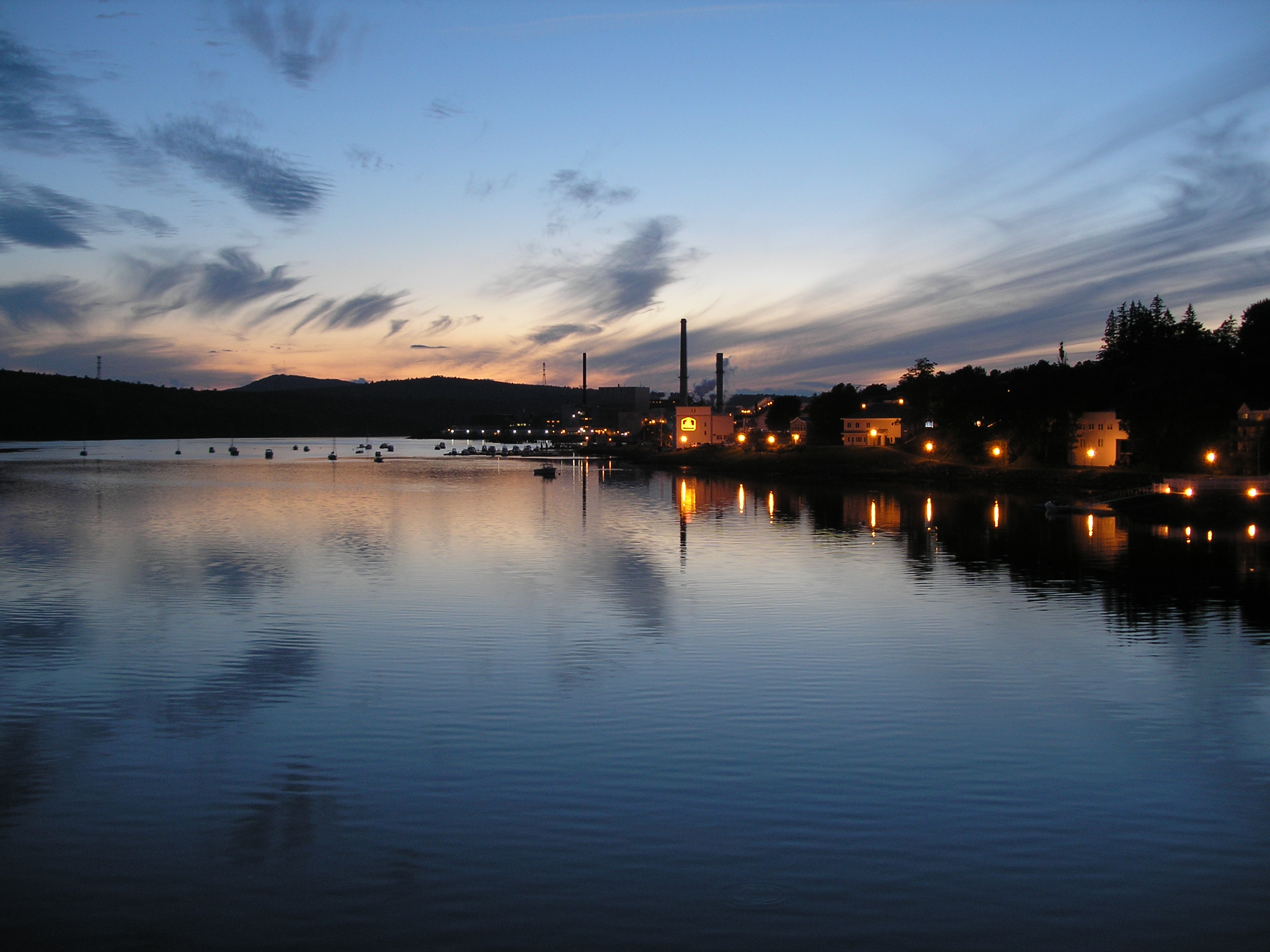
Paper Mill
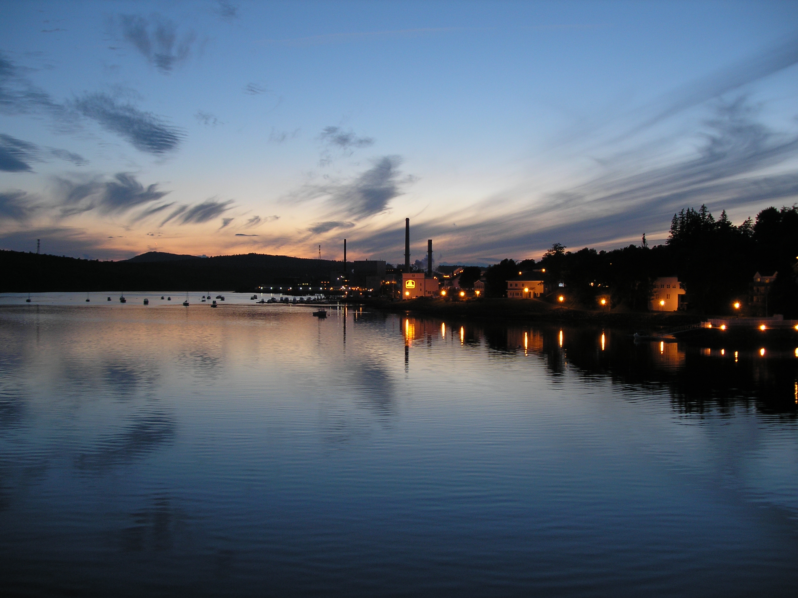
Lucerne Sunset
_MG_3237.jpg
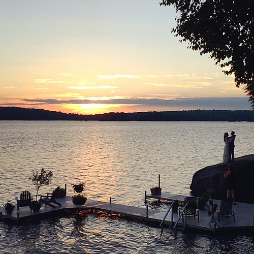
Still thinking about how great this wedding was... #latergram of a beautiful couple enjoying a beautiful moment.
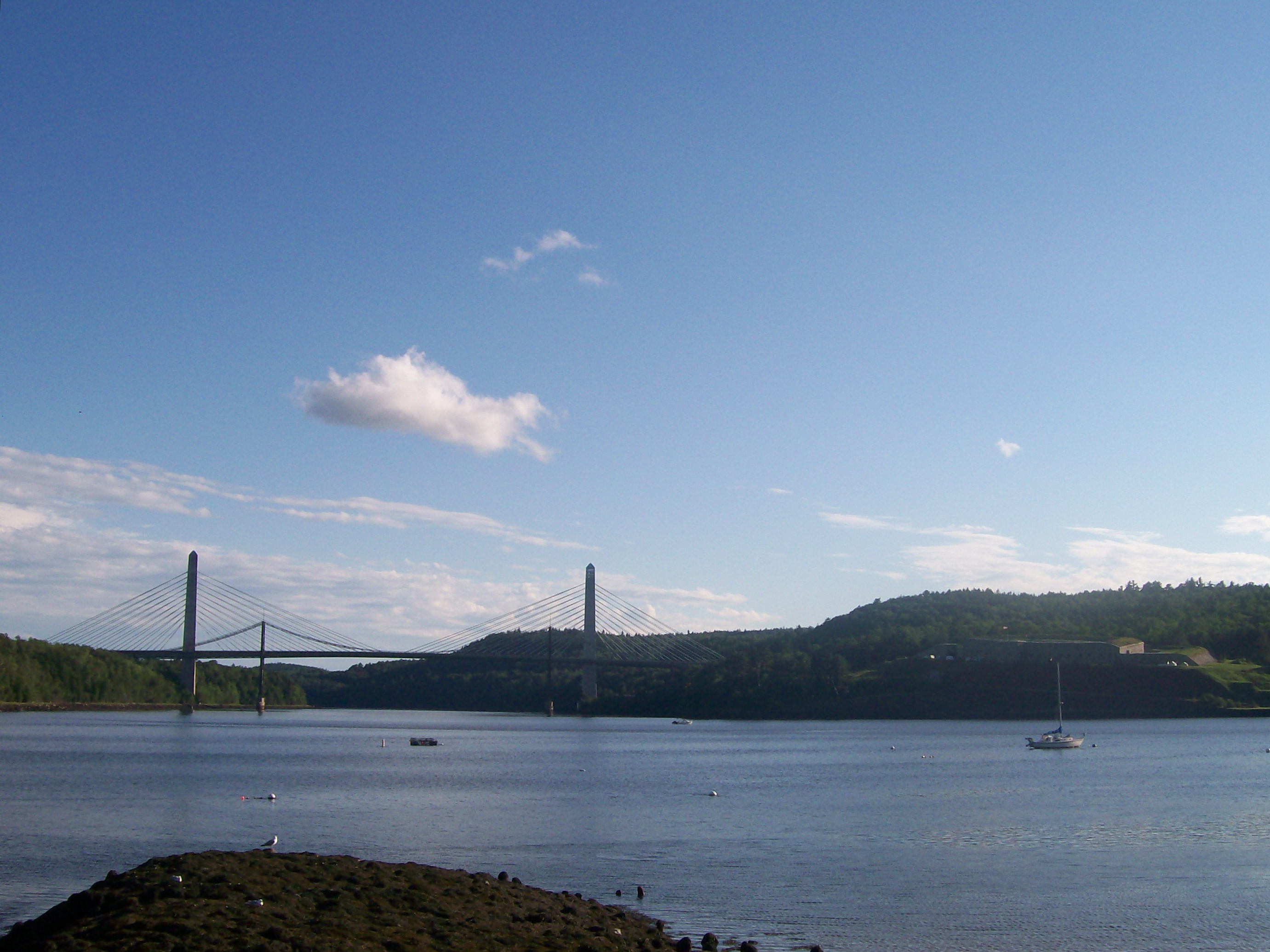
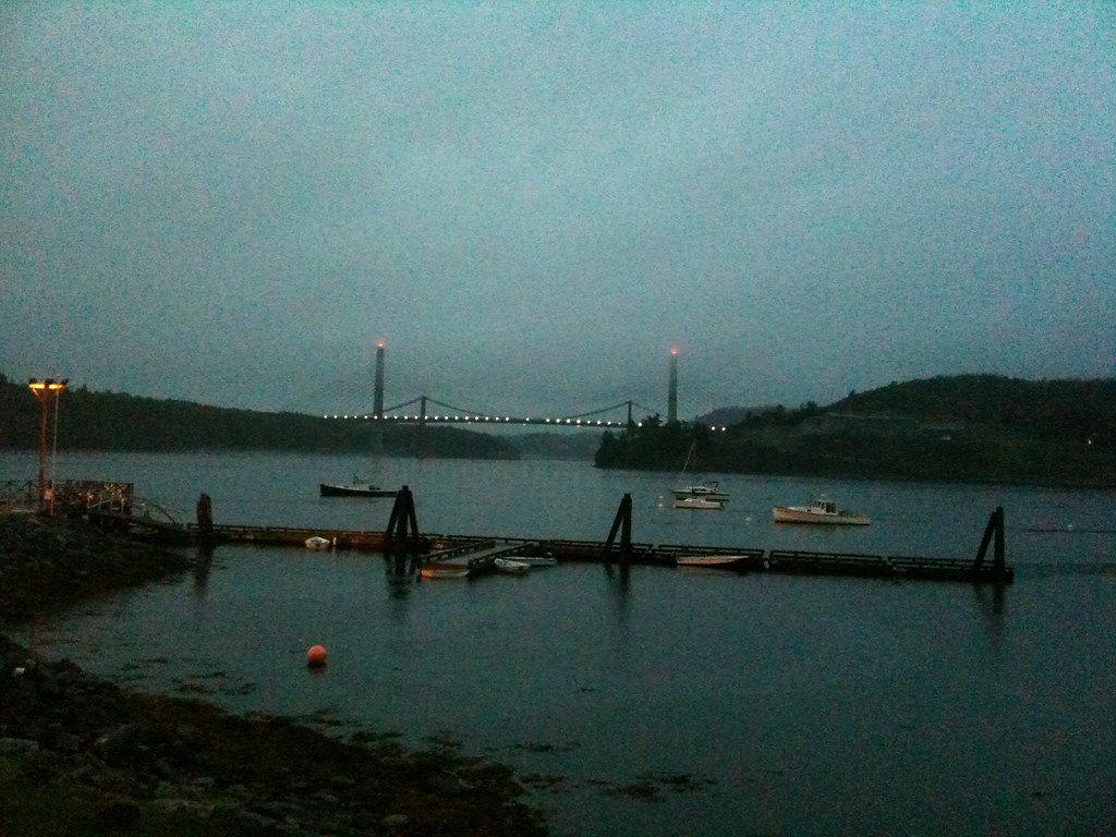
The bridges and Fort Knox
Topographic Map of 73 Harriman Pond Ln, Dedham, ME, USA
Find elevation by address:

Places near 73 Harriman Pond Ln, Dedham, ME, USA:
Dedham
160 Hurd Point Rd
160 Hurd Point Rd
1412 Bucksmills Rd
1444 Bucksmills Rd
1412 Bucksmills Rd
1000 Bucksmills Rd
16 Booth Dr, Bucksport, ME, USA
Thurston Pond Road
Holden
51 Valley View Rd
Black Cap Mountain
Center Dr, Orrington, ME, USA
Betts Road
400 Lambert Rd
Brewer, ME, USA
Snows Corner Rd, Orrington, ME, USA
95 Canterbury Rd
Orrington
1759 River Rd
Recent Searches:
- Elevation of Corso Fratelli Cairoli, 35, Macerata MC, Italy
- Elevation of Tallevast Rd, Sarasota, FL, USA
- Elevation of 4th St E, Sonoma, CA, USA
- Elevation of Black Hollow Rd, Pennsdale, PA, USA
- Elevation of Oakland Ave, Williamsport, PA, USA
- Elevation of Pedrógão Grande, Portugal
- Elevation of Klee Dr, Martinsburg, WV, USA
- Elevation of Via Roma, Pieranica CR, Italy
- Elevation of Tavkvetili Mountain, Georgia
- Elevation of Hartfords Bluff Cir, Mt Pleasant, SC, USA