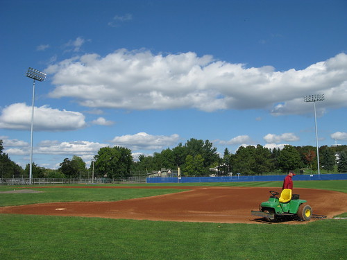
Elevation of 51 Valley View Rd, Holden, ME, USA
Location: United States > Maine > Penobscot County > Holden >
Longitude: -68.7039101
Latitude: 44.7408248
Elevation: 176m / 577feet
Barometric Pressure: 0KPa
Related Photos:
Topographic Map of 51 Valley View Rd, Holden, ME, USA
Find elevation by address:

Places near 51 Valley View Rd, Holden, ME, USA:
Holden
Brewer, ME, USA
400 Lambert Rd
95 Canterbury Rd
Center Dr, Orrington, ME, USA
Snows Corner Rd, Orrington, ME, USA
Dedham
16 Booth Dr, Bucksport, ME, USA
1412 Bucksmills Rd
1444 Bucksmills Rd
1412 Bucksmills Rd
26 Sunset Strip
Thurston Pond Road
Brewer
900 State St
35 State Hospital Dr
489 State St
Orrington
1000 Bucksmills Rd
Bangor, Maine
Recent Searches:
- Elevation of Window Rock, Colfax County, New Mexico, 87714, USA
- Elevation of 4807, Rosecroft Street, Kempsville Gardens, Virginia Beach, Virginia, 23464, USA
- Elevation map of Matawinie, Quebec, Canada
- Elevation of Sainte-Émélie-de-l'Énergie, Matawinie, Quebec, Canada
- Elevation of Rue du Pont, Sainte-Émélie-de-l'Énergie, Matawinie, Quebec, J0K2K0, Canada
- Elevation of 8, Rue de Bécancour, Blainville, Thérèse-De Blainville, Quebec, J7B1N2, Canada
- Elevation of Wilmot Court North, 163, University Avenue West, Northdale, Waterloo, Region of Waterloo, Ontario, N2L6B6, Canada
- Elevation map of Panamá Province, Panama
- Elevation of Balboa, Panamá Province, Panama
- Elevation of San Miguel, Balboa, Panamá Province, Panama
- Elevation of Isla Gibraleón, San Miguel, Balboa, Panamá Province, Panama
- Elevation of 4655, Krischke Road, Schulenburg, Fayette County, Texas, 78956, USA
- Elevation of Carnegie Avenue, Downtown Cleveland, Cleveland, Cuyahoga County, Ohio, 44115, USA
- Elevation of Walhonding, Coshocton County, Ohio, USA
- Elevation of Clifton Down, Clifton, Bristol, City of Bristol, England, BS8 3HU, United Kingdom
- Elevation map of Auvergne-Rhône-Alpes, France
- Elevation map of Upper Savoy, Auvergne-Rhône-Alpes, France
- Elevation of Chamonix-Mont-Blanc, Upper Savoy, Auvergne-Rhône-Alpes, France
- Elevation of 908, Northwood Drive, Bridge Field, Chesapeake, Virginia, 23322, USA
- Elevation map of Nagano Prefecture, Japan


