Elevation of 6, KS, USA
Location: United States > Kansas > Pratt County >
Longitude: -98.528161
Latitude: 37.7121196
Elevation: 556m / 1824feet
Barometric Pressure: 95KPa
Elevation Map:
Satellite Map:
Related Photos:

Southern Pacific GP60 #9716 leads a train through Turon KS on 7/24/91
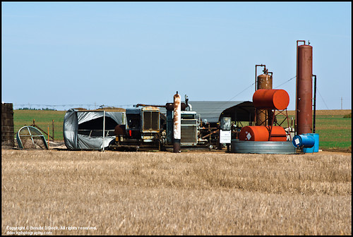
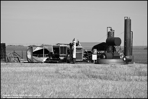
Oil Field Storage Tanks
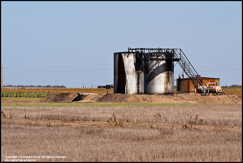
Oil Field Storage Tanks
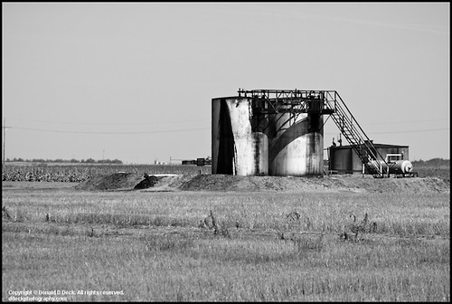
Oil Field Storage Tanks
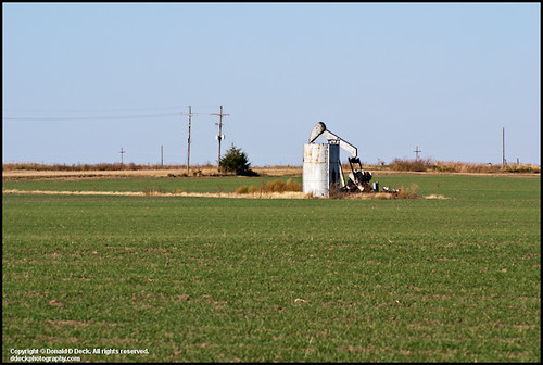
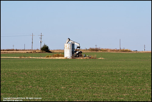
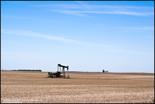
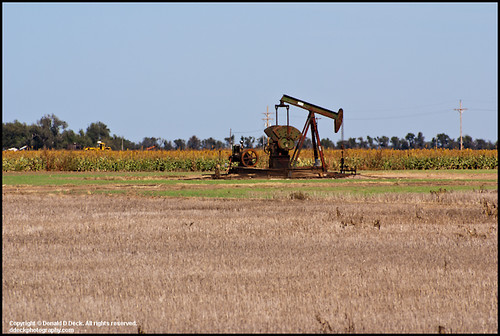
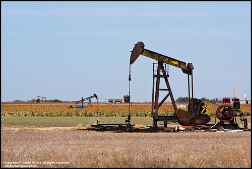
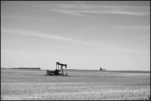
Oil Well Pump Jack
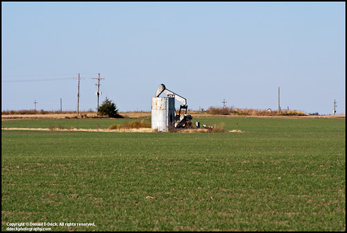
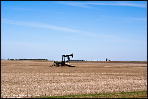
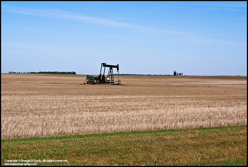
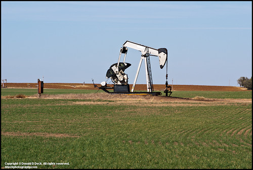
Oil Well Pump Jack
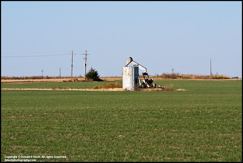
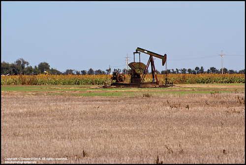
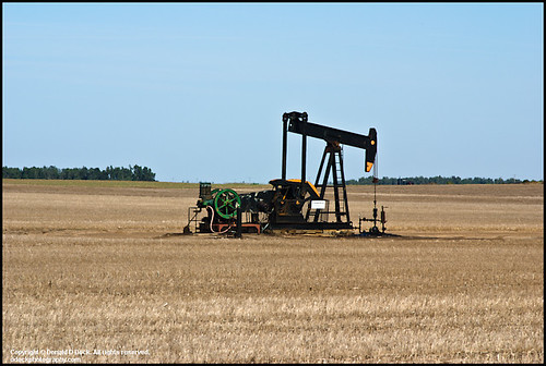
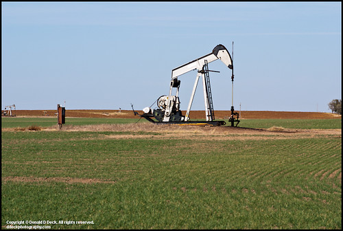
Oil Well Pump Jack
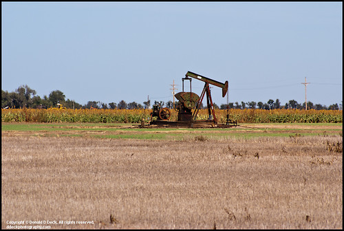
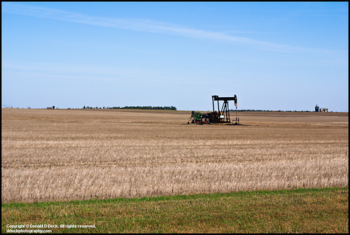
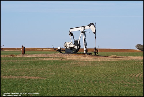
Oil Well Pump Jack
Oil Field Storage Tanks
Oil Well Pump Jack
Oil Well Pump Jack
Oil Well Pump Jack
Oil Well Pump Jack
Oil Well Pump Jack
Oil Well Pump Jack
Oil Well Pump Jack
Oil Well Pump Jack
Oil Well Pump Jack
Oil Well Pump Jack
Oil Well Pump Jack
Oil Well Pump Jack
Oil Well Pump Jack
Topographic Map of 6, KS, USA
Find elevation by address:

Places in 6, KS, USA:
Places near 6, KS, USA:
Main St, Cunningham, KS, USA
12, KS, USA
7, KS, USA
Iuka
Mc Clellan, Iuka, KS, USA
523 E 1st St
700 N Main St
200 Se 10th St
711 S Pine St
Pratt
S Oak St, Pratt, KS, USA
200 N Main St
200 S Main St
700 S Main St
900 S Main St
900 S Main St
209 S Taylor St
200 Iowa Ave
10th St, Pratt, KS, USA
Stafford
Recent Searches:
- Elevation of Corso Fratelli Cairoli, 35, Macerata MC, Italy
- Elevation of Tallevast Rd, Sarasota, FL, USA
- Elevation of 4th St E, Sonoma, CA, USA
- Elevation of Black Hollow Rd, Pennsdale, PA, USA
- Elevation of Oakland Ave, Williamsport, PA, USA
- Elevation of Pedrógão Grande, Portugal
- Elevation of Klee Dr, Martinsburg, WV, USA
- Elevation of Via Roma, Pieranica CR, Italy
- Elevation of Tavkvetili Mountain, Georgia
- Elevation of Hartfords Bluff Cir, Mt Pleasant, SC, USA