Elevation of 5 Black Tail View, Grangeville, ID, USA
Location: United States > Idaho > Idaho County > Grangeville >
Longitude: -116.05022
Latitude: 45.9115863
Elevation: 1037m / 3402feet
Barometric Pressure: 89KPa
Elevation Map:
Satellite Map:
Related Photos:

View of Camas Prairie close to Grangeville

View of Camas Prairie close to Grangeville

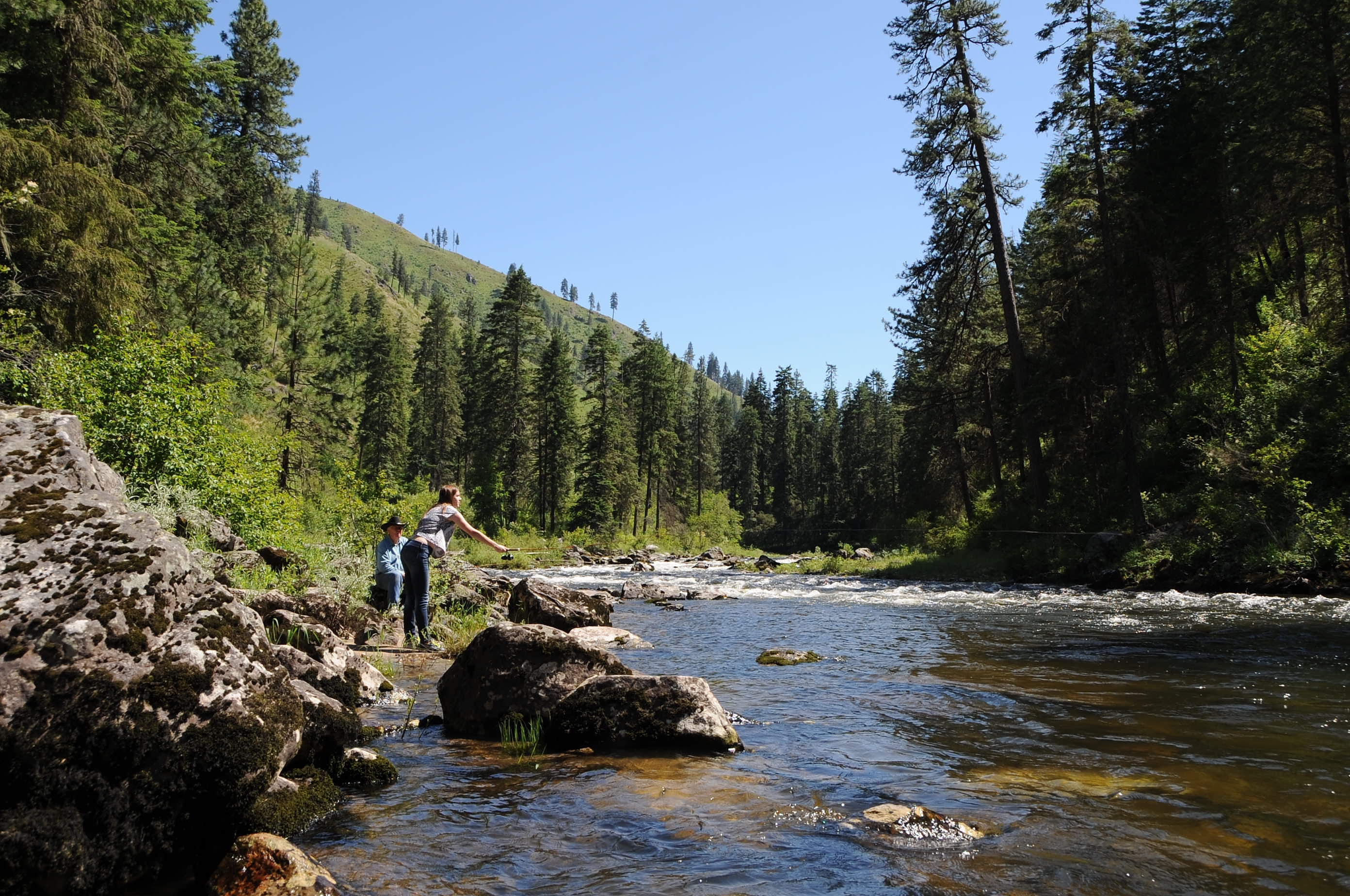
Rafting Lower Salmon 20120722-130.jpg

Rafting Lower Salmon 20120722-104.jpg
Rafting Lower Salmon 20120722-090.jpg

Rafting Lower Salmon 20120722-146.jpg

Rafting Lower Salmon 20120722-133.jpg

Rafting Lower Salmon 20120722-105.jpg
120705-Idaho-ClearwaterRiver-JN177

120705-Idaho-ClearwaterRiver-JN004

120705-Idaho-ClearwaterRiver-JN084

120705-Idaho-ClearwaterRiver-JN118

Rain over the Camas Prairie

120705-Idaho-ClearwaterRiver-JN059

120705-Idaho-ClearwaterRiver-JN095

120705-Idaho-ClearwaterRiver-JN119

120705-Idaho-ClearwaterRiver-JN013

120705-Idaho-ClearwaterRiver-JN060

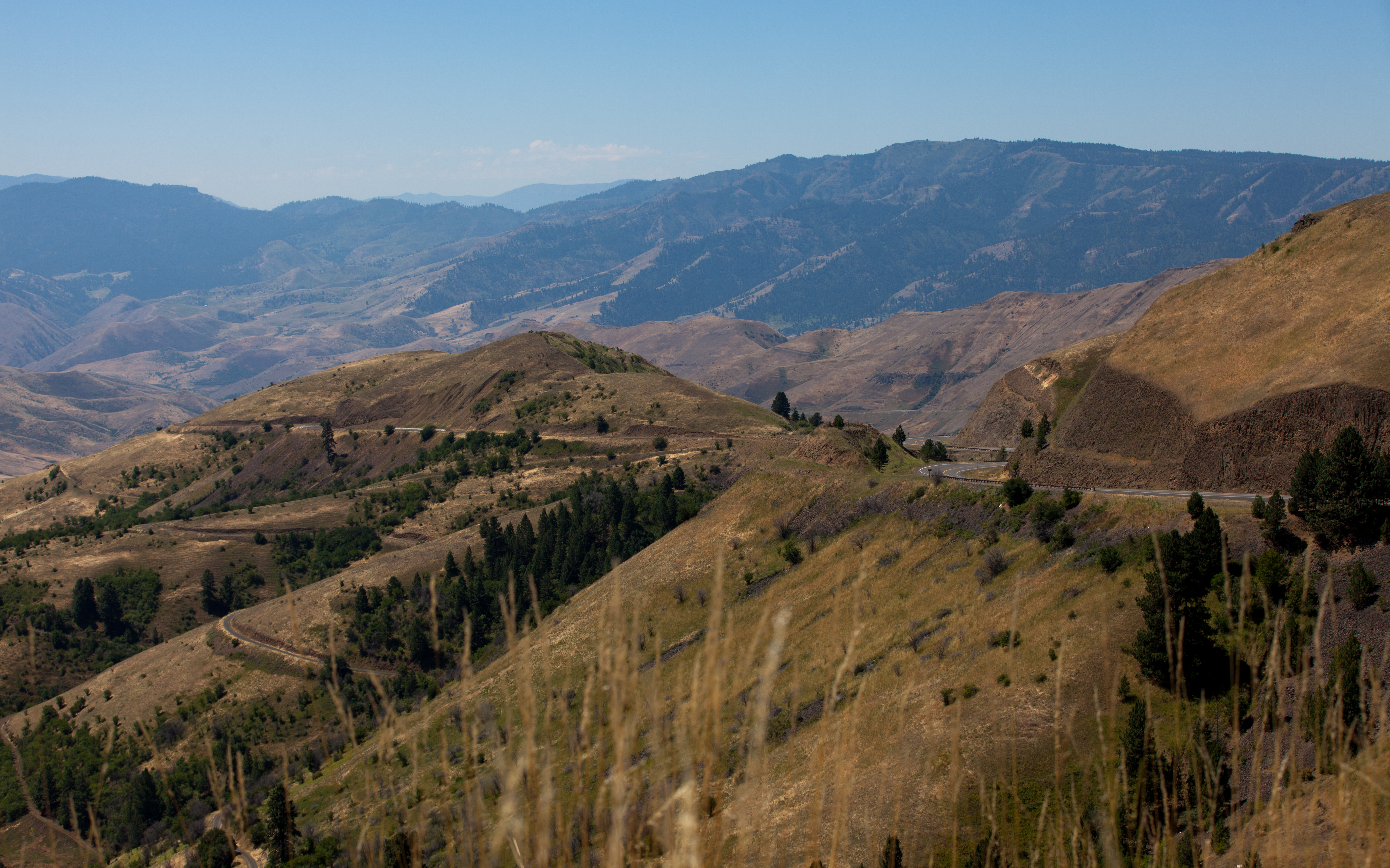
Cottonwood Butte

120705-Idaho-ClearwaterRiver-JN120
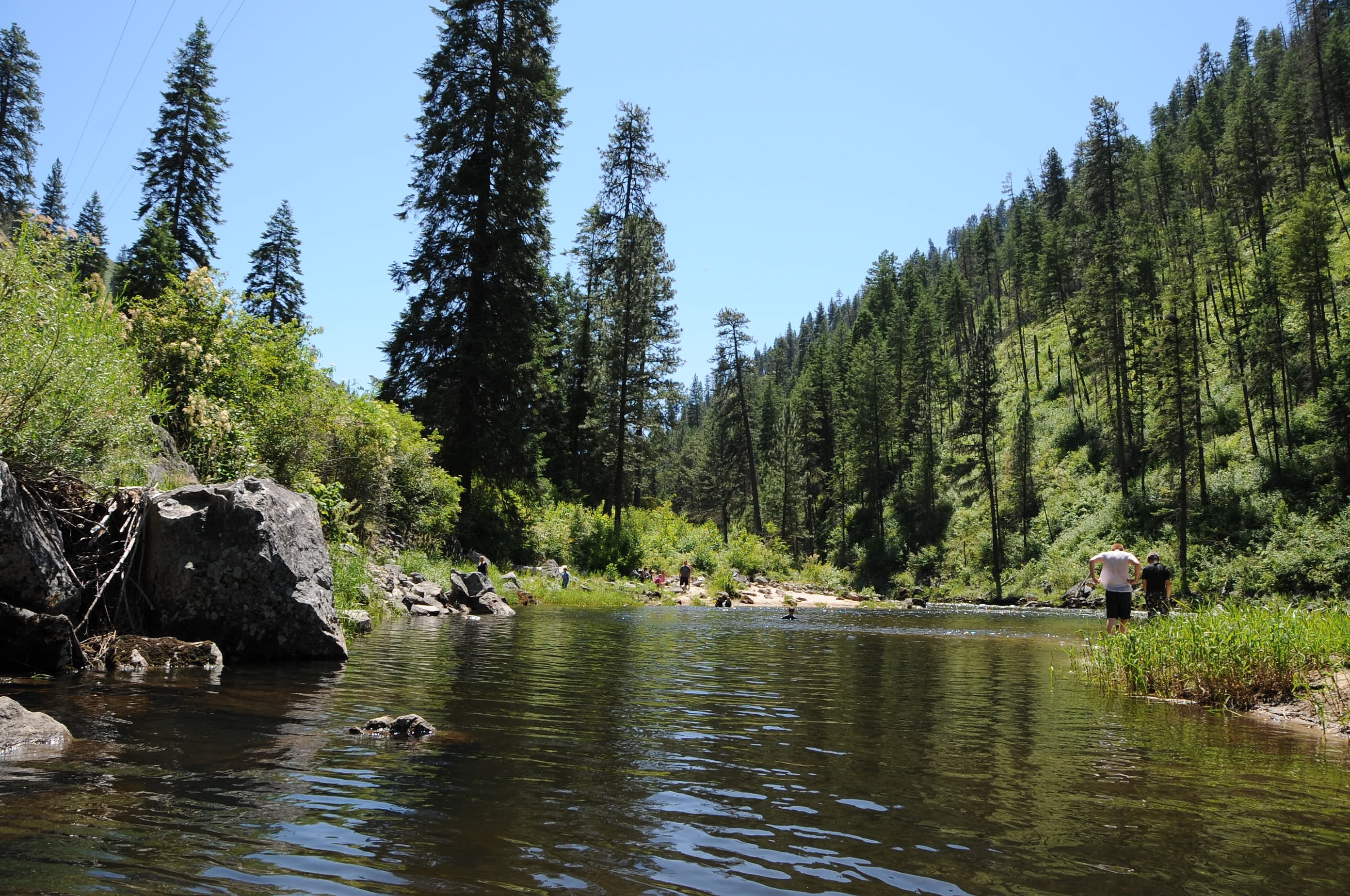
120705-Idaho-ClearwaterRiver-JN081

120705-Idaho-ClearwaterRiver-JN012

120705-Idaho-ClearwaterRiver-JN083

120705-Idaho-ClearwaterRiver-JN061

120705-Idaho-ClearwaterRiver-JN071

120705-Idaho-ClearwaterRiver-JN026

120705-Idaho-ClearwaterRiver-JN021
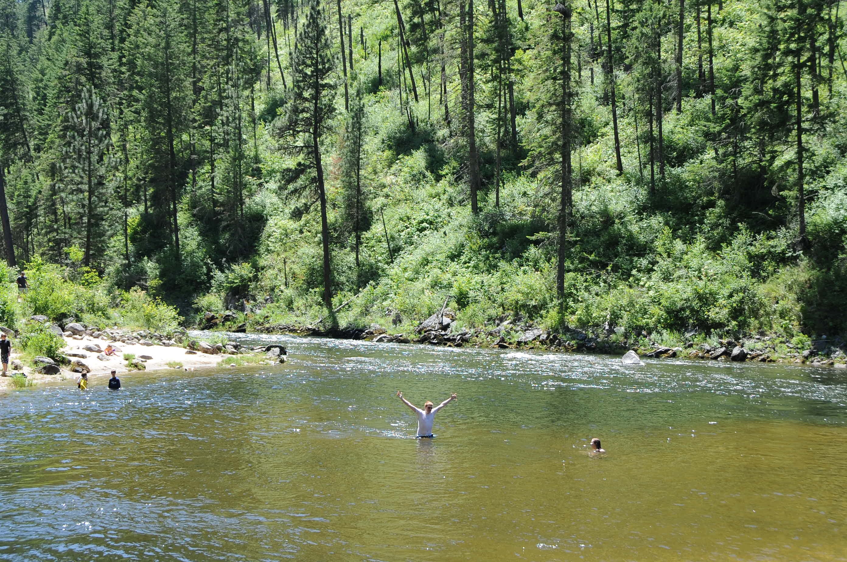
120705-Idaho-ClearwaterRiver-JN078

120705-Idaho-ClearwaterRiver-JN077
Topographic Map of 5 Black Tail View, Grangeville, ID, USA
Find elevation by address:

Places near 5 Black Tail View, Grangeville, ID, USA:
96 Black Tail View
117 Nf-279
21 Poor Farm Rd
547 Nf-279
National Forest Development Road 279
Grangeville
145 Homestead Rd
119 Twin Pines Ln
734 Silver Lake Rd
20 Fish Hatchery Rd
532 Fish Hatchery Rd
Lightning Creek Road
Harpster
Green Creek Road
181 Ferguson Rd
181 Ferguson Rd
Asbestos Point
858 Wall Creek Rd
Pleasant Valley Road
2187 Old White Bird Hill Rd
Recent Searches:
- Elevation of Corso Fratelli Cairoli, 35, Macerata MC, Italy
- Elevation of Tallevast Rd, Sarasota, FL, USA
- Elevation of 4th St E, Sonoma, CA, USA
- Elevation of Black Hollow Rd, Pennsdale, PA, USA
- Elevation of Oakland Ave, Williamsport, PA, USA
- Elevation of Pedrógão Grande, Portugal
- Elevation of Klee Dr, Martinsburg, WV, USA
- Elevation of Via Roma, Pieranica CR, Italy
- Elevation of Tavkvetili Mountain, Georgia
- Elevation of Hartfords Bluff Cir, Mt Pleasant, SC, USA