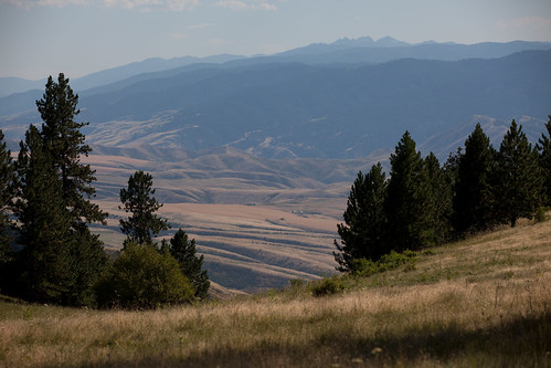
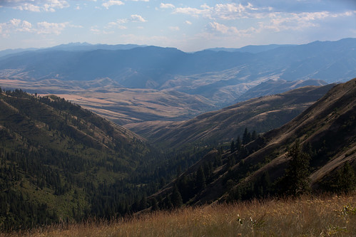
Elevation of NF-, Grangeville, ID, USA
Location: United States > Idaho > Idaho County > Grangeville >
Longitude: -116.04639
Latitude: 45.8780299
Elevation: 1195m / 3921feet
Barometric Pressure: 88KPa
Related Photos:
Topographic Map of NF-, Grangeville, ID, USA
Find elevation by address:

Places near NF-, Grangeville, ID, USA:
National Forest Development Road 279
96 Black Tail View
117 Nf-279
5 Black Tail View
21 Poor Farm Rd
Grangeville
119 Twin Pines Ln
734 Silver Lake Rd
532 Fish Hatchery Rd
20 Fish Hatchery Rd
145 Homestead Rd
Asbestos Point
Lightning Creek Road
Harpster
Green Creek Road
181 Ferguson Rd
181 Ferguson Rd
Idaho 14
Idaho 14
2187 Old White Bird Hill Rd
Recent Searches:
- Elevation of Corso Fratelli Cairoli, 35, Macerata MC, Italy
- Elevation of Tallevast Rd, Sarasota, FL, USA
- Elevation of 4th St E, Sonoma, CA, USA
- Elevation of Black Hollow Rd, Pennsdale, PA, USA
- Elevation of Oakland Ave, Williamsport, PA, USA
- Elevation of Pedrógão Grande, Portugal
- Elevation of Klee Dr, Martinsburg, WV, USA
- Elevation of Via Roma, Pieranica CR, Italy
- Elevation of Tavkvetili Mountain, Georgia
- Elevation of Hartfords Bluff Cir, Mt Pleasant, SC, USA


