Elevation of 55 E Ridge Rd, Mars Hill, ME, USA
Location: United States > Maine > Aroostook County >
Longitude: -67.859990
Latitude: 46.531317
Elevation: 137m / 449feet
Barometric Pressure: 100KPa
Elevation Map:
Satellite Map:
Related Photos:
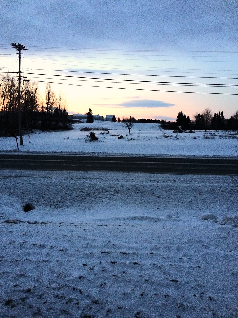
My early morning view
Mars Hill

Our breakfast view. Snow has returned. Sun is shining. Already filmed deer. Hope to film moose today.
Long view

Side view

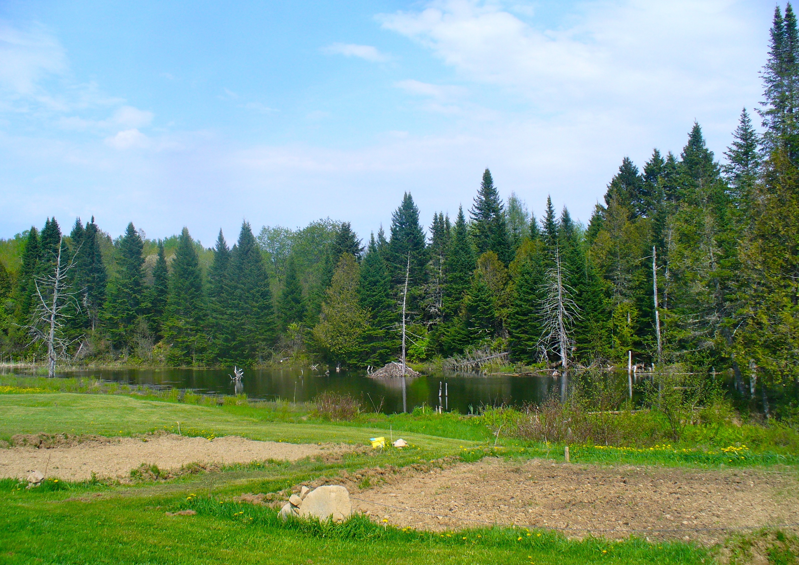
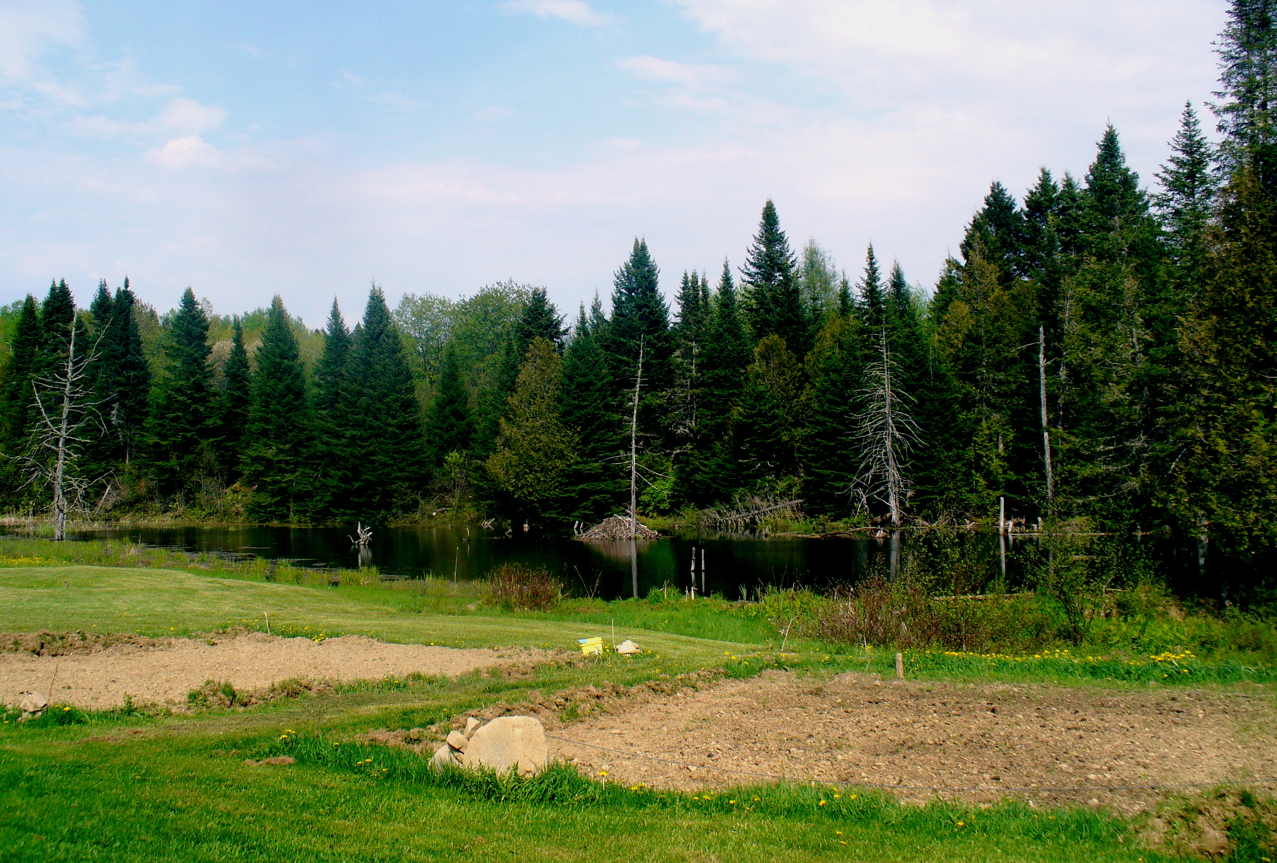
The view from the beaver pond
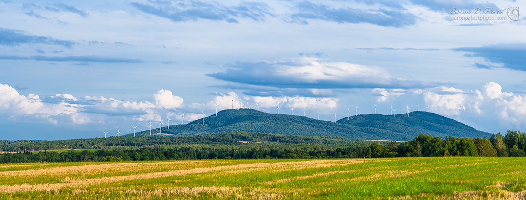
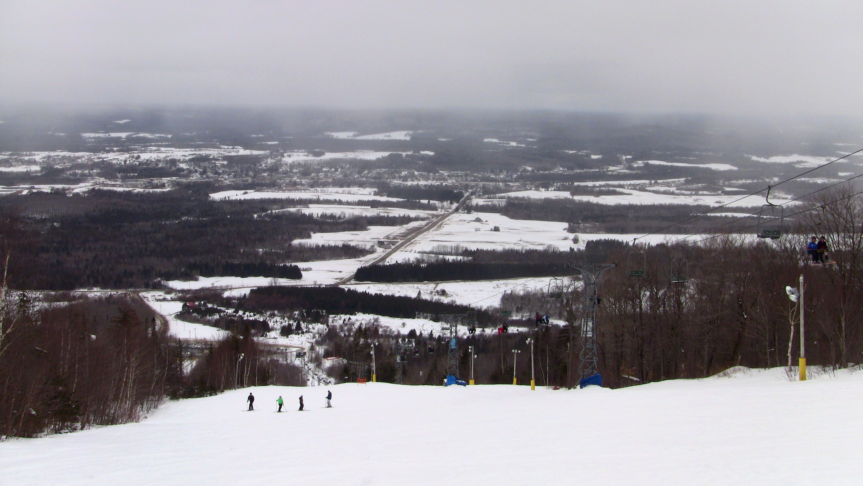
Mars Hill Wind

2012-08-26-98781
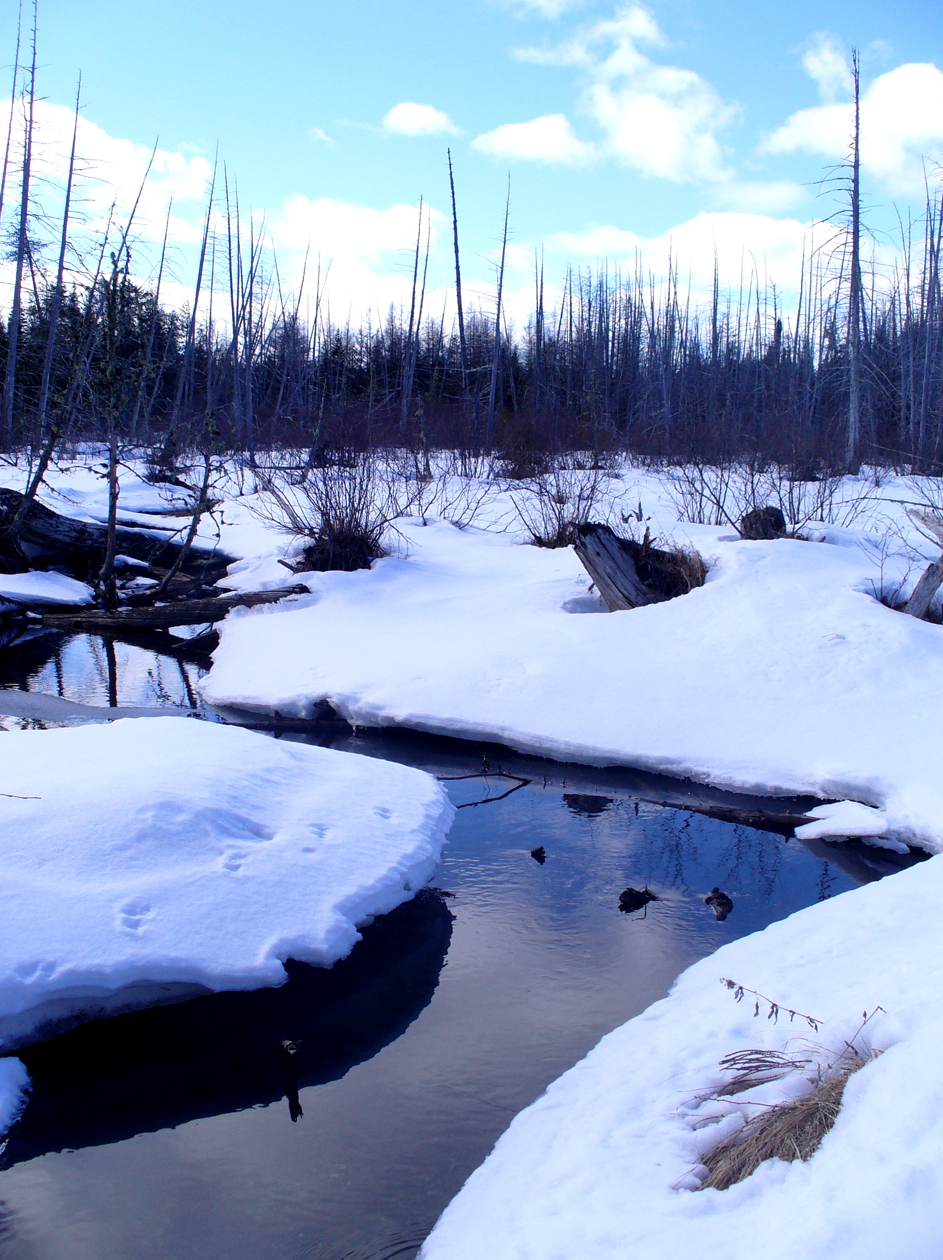
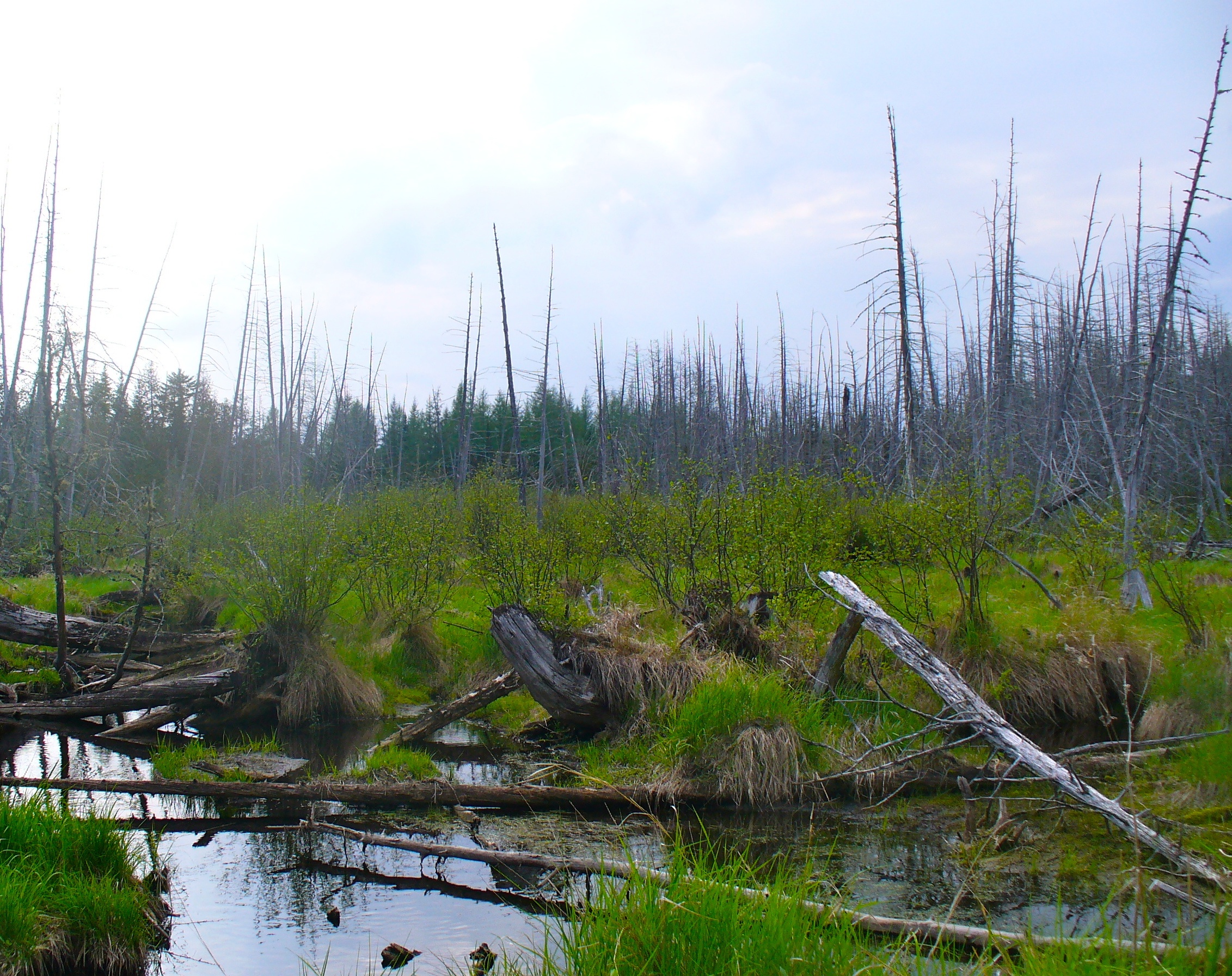
Beaver swamp
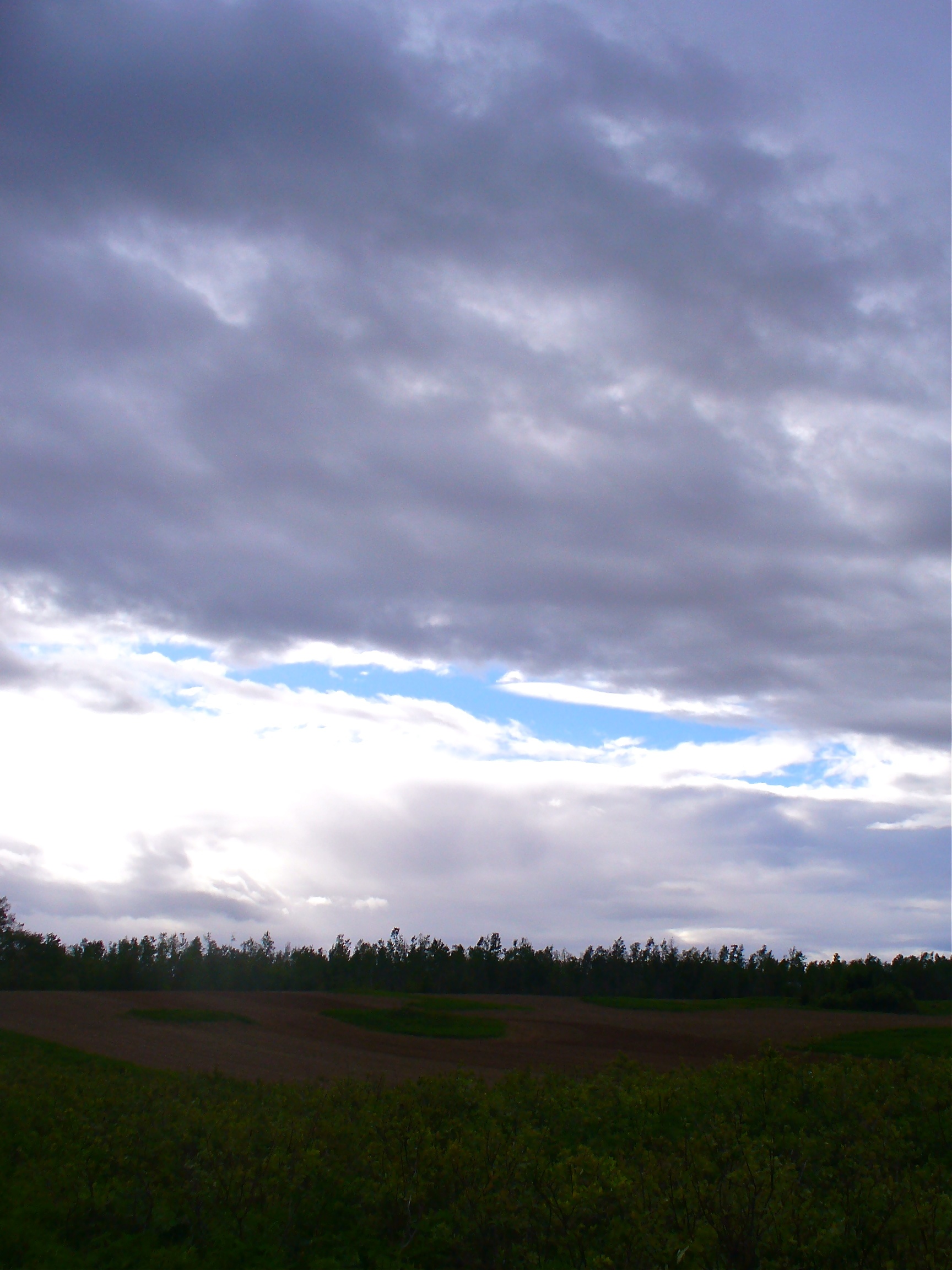
Troubled sky
Moose (my best shot)
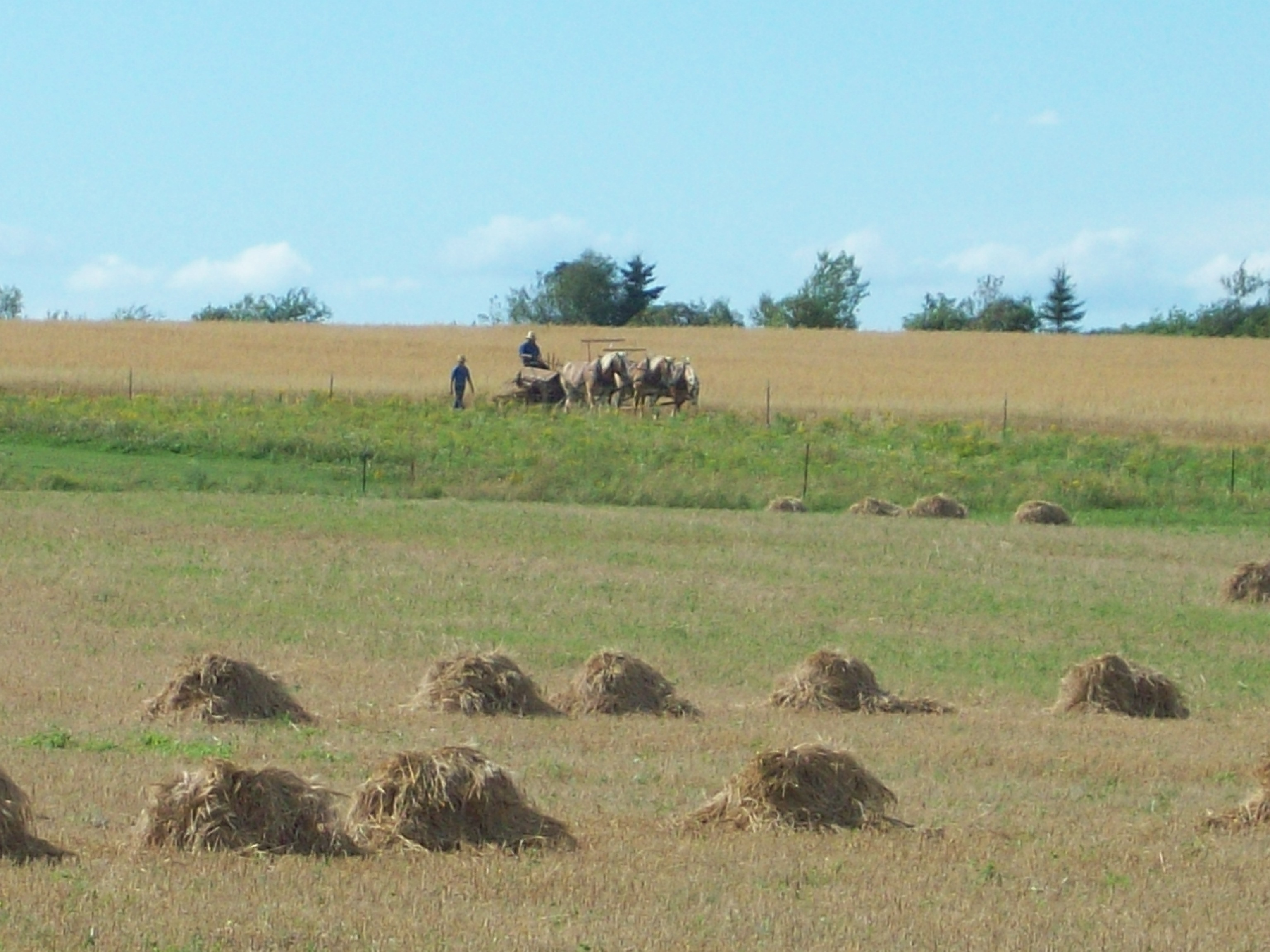
Amish strawmen: Easton Center, ME
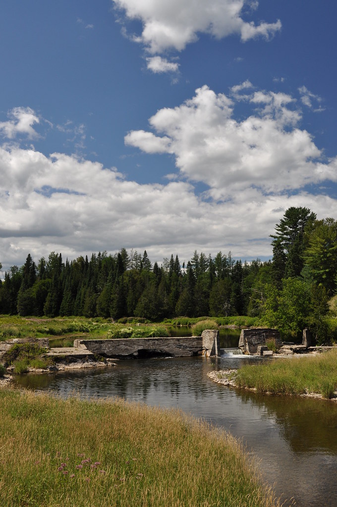
Busted Dam 1

Sunset in the back field
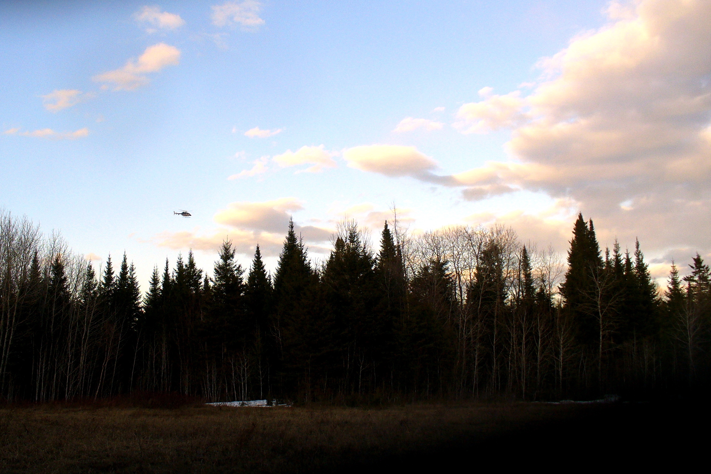
Border Patrol helicopter
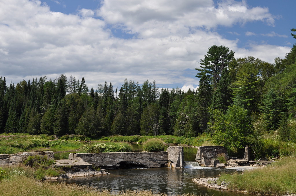
Busted Dam 2

One sunset for the road

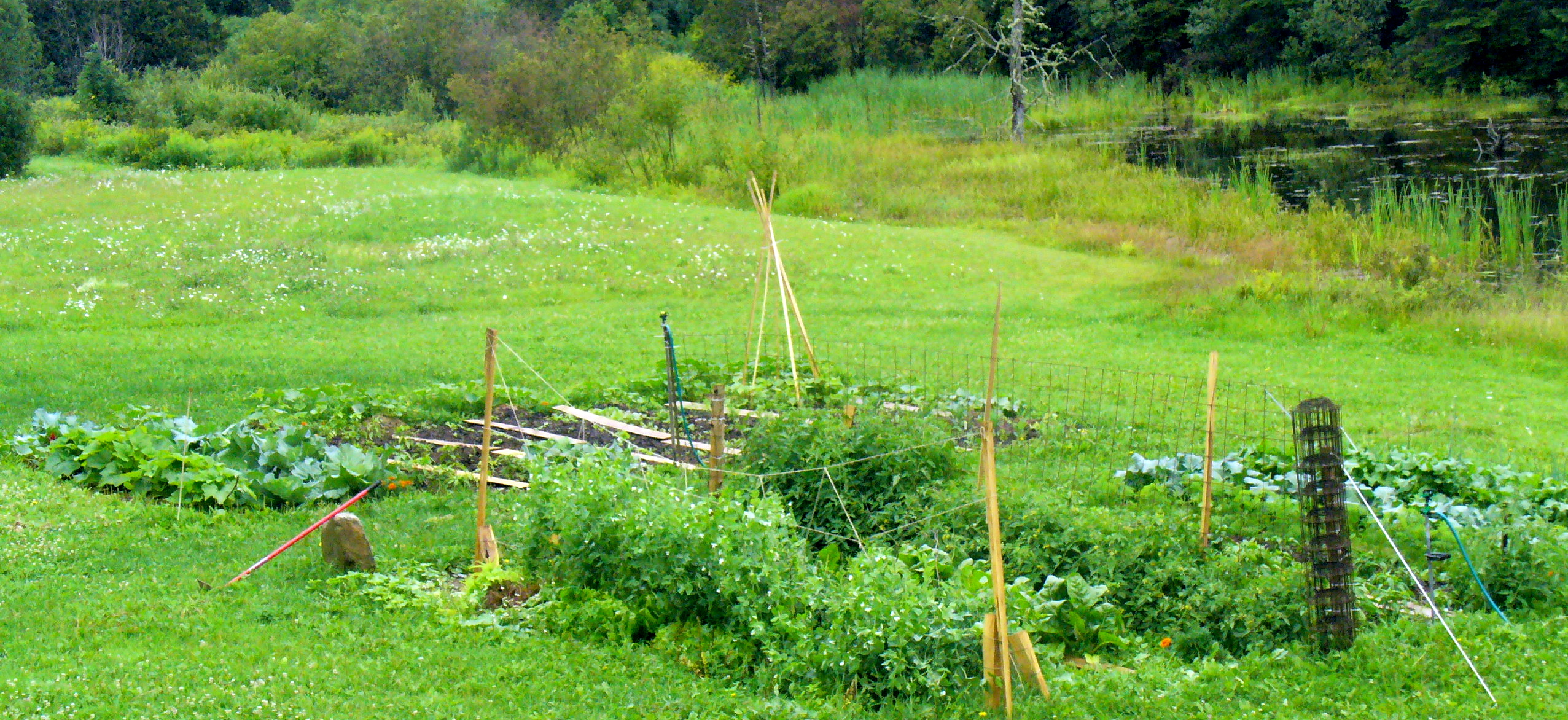
Aroostook garden
The washout
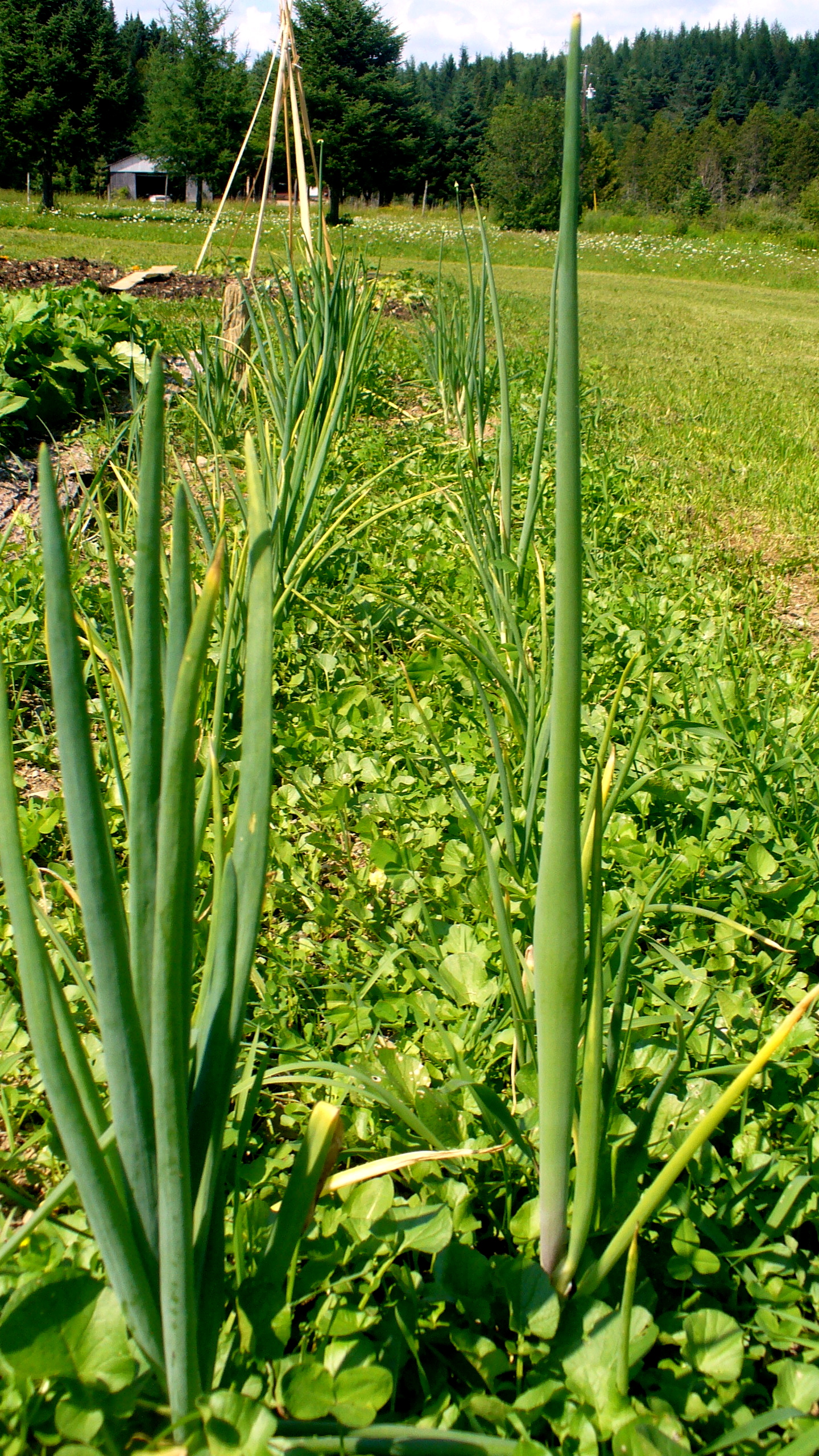
Onions beginning to flower.

Field of lions

Jeremiah gets buried
Bare garden
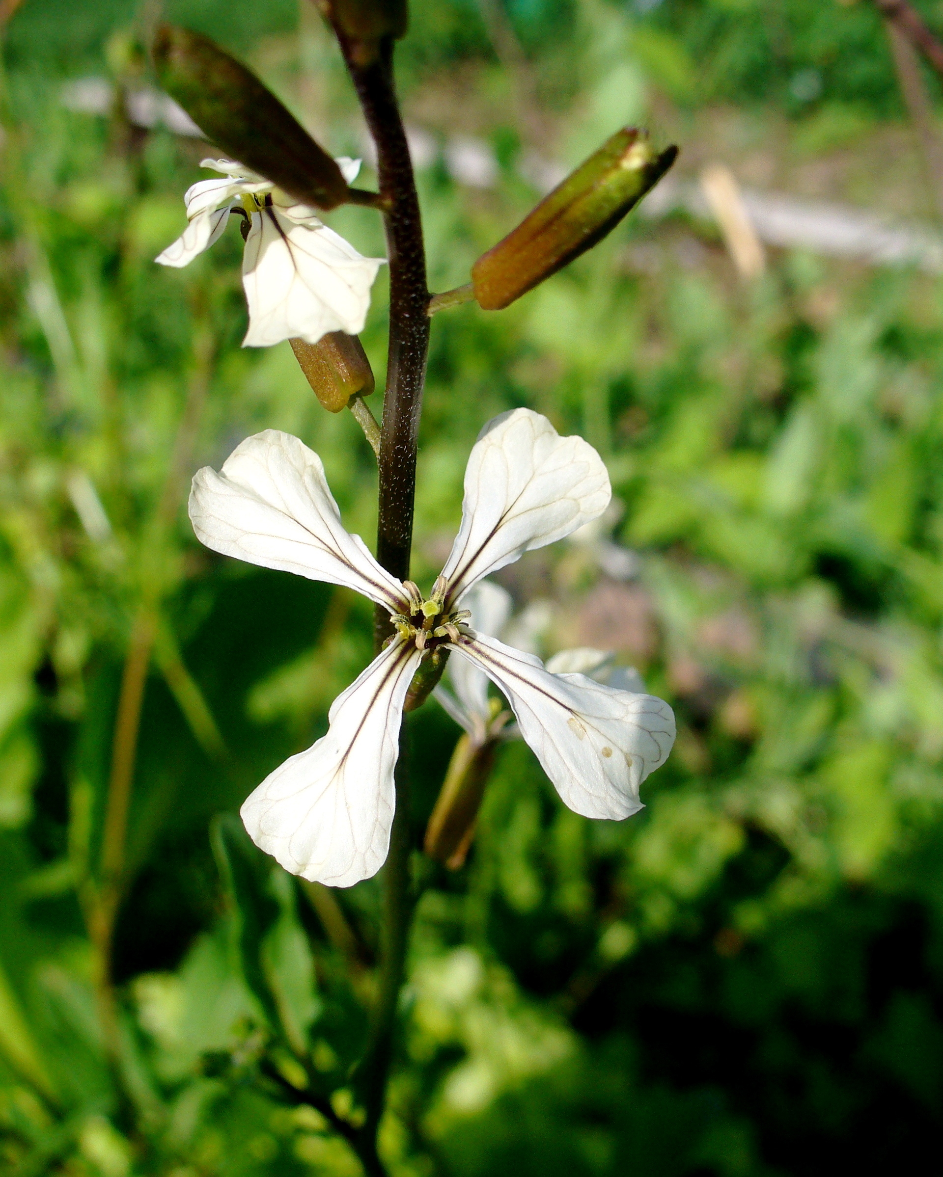
Arugula blossom
How it all started
Topographic Map of 55 E Ridge Rd, Mars Hill, ME, USA
Find elevation by address:

Places near 55 E Ridge Rd, Mars Hill, ME, USA:
145 Mahany Rd
US-1, Bridgewater, ME, USA
Bridgewater
228 Egypt Rd
Houlton Rd, Easton, ME, USA
266 Bootfoot Rd
Easton
Snow Rd, Bridgewater, ME, USA
Knoxford
NB-, Wicklow, NB E7K, Canada
305 Fuller Rd
NB-, Tracey Mills, NB E7K 2C5, Canada
Wicklow
59 Palmer Rd, Upper Kent, NB E7J 1Y4, Canada
Upper Kent
Quaggy Joe
Village Of Centreville Fire Station
Maplehurst Rd, Maplehurst, NB E7J 1T5, Canada
Central St, Centreville, NB E7K 3E6, Canada
217 Houlton Rd
Recent Searches:
- Elevation of Corso Fratelli Cairoli, 35, Macerata MC, Italy
- Elevation of Tallevast Rd, Sarasota, FL, USA
- Elevation of 4th St E, Sonoma, CA, USA
- Elevation of Black Hollow Rd, Pennsdale, PA, USA
- Elevation of Oakland Ave, Williamsport, PA, USA
- Elevation of Pedrógão Grande, Portugal
- Elevation of Klee Dr, Martinsburg, WV, USA
- Elevation of Via Roma, Pieranica CR, Italy
- Elevation of Tavkvetili Mountain, Georgia
- Elevation of Hartfords Bluff Cir, Mt Pleasant, SC, USA