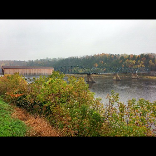
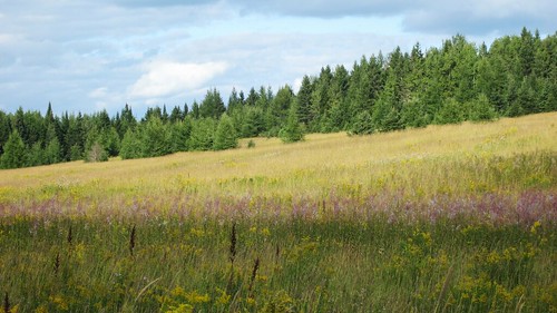
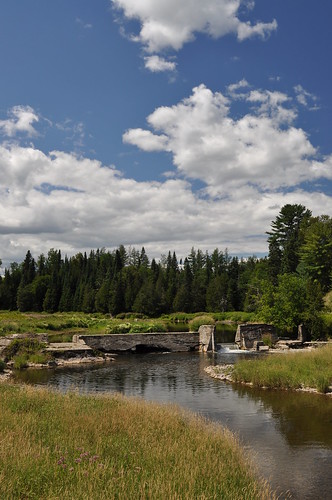
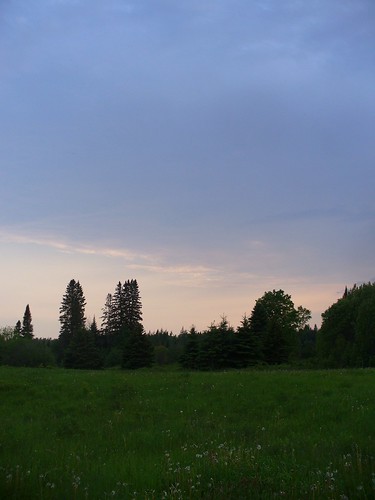
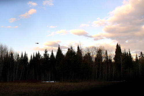
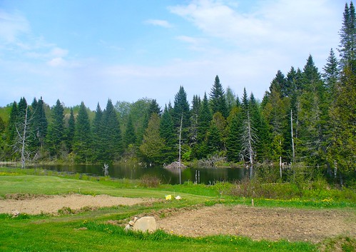
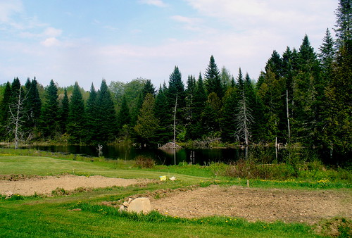
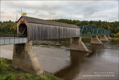
Elevation of NB-, Tracey Mills, NB E7K 2C5, Canada
Location: Canada > New Brunswick > Carleton County > Wicklow >
Longitude: -67.739237
Latitude: 46.4388357
Elevation: 94m / 308feet
Barometric Pressure: 100KPa
Related Photos:
Topographic Map of NB-, Tracey Mills, NB E7K 2C5, Canada
Find elevation by address:

Places near NB-, Tracey Mills, NB E7K 2C5, Canada:
NB-, Wicklow, NB E7K, Canada
Village Of Centreville Fire Station
Central St, Centreville, NB E7K 3E6, Canada
Centreville
Knoxford
NB-, East Centreville, NB E7K 2L9, Canada
Snow Rd, Bridgewater, ME, USA
Wicklow
370 Centreville Rd
Bridgewater
US-1, Bridgewater, ME, USA
7706 Nb-130
Upper Kent
11300 Nb-130
11300 Nb-130
11300 Nb-130
Peel
Johnville
Carlow
Johnville Rd, Johnville, NB E7J 1J6, Canada
Recent Searches:
- Elevation of Corso Fratelli Cairoli, 35, Macerata MC, Italy
- Elevation of Tallevast Rd, Sarasota, FL, USA
- Elevation of 4th St E, Sonoma, CA, USA
- Elevation of Black Hollow Rd, Pennsdale, PA, USA
- Elevation of Oakland Ave, Williamsport, PA, USA
- Elevation of Pedrógão Grande, Portugal
- Elevation of Klee Dr, Martinsburg, WV, USA
- Elevation of Via Roma, Pieranica CR, Italy
- Elevation of Tavkvetili Mountain, Georgia
- Elevation of Hartfords Bluff Cir, Mt Pleasant, SC, USA
