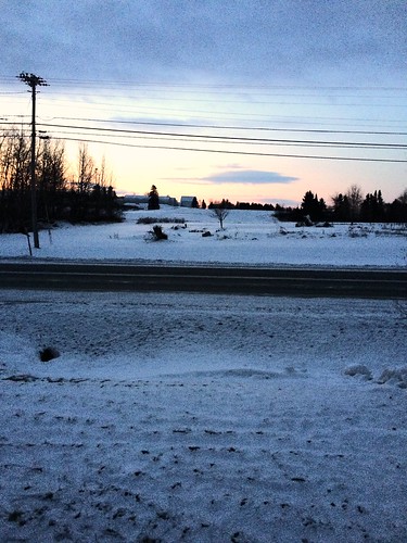
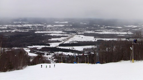
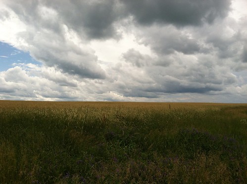
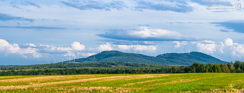
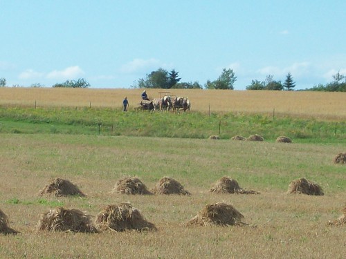
Elevation of 59 Palmer Rd, Upper Kent, NB E7J 1Y4, Canada
Location: Canada > New Brunswick > Carleton County > Kent > Upper Kent >
Longitude: -67.719520
Latitude: 46.5971343
Elevation: 91m / 299feet
Barometric Pressure: 100KPa
Related Photos:
Topographic Map of 59 Palmer Rd, Upper Kent, NB E7J 1Y4, Canada
Find elevation by address:

Places near 59 Palmer Rd, Upper Kent, NB E7J 1Y4, Canada:
Maplehurst Rd, Maplehurst, NB E7J 1T5, Canada
Upper Kent
Kincardine
Wicklow
260 Kincardine Rd
271 Kincardine Rd
Knoxford
7706 Nb-130
Andover
11300 Nb-130
11300 Nb-130
11300 Nb-130
145 Mahany Rd
305 Fuller Rd
Perth-andover
Perth
NB-, Wicklow, NB E7K, Canada
Houlton Rd, Easton, ME, USA
55 E Ridge Rd, Mars Hill, ME, USA
Carlingford
Recent Searches:
- Elevation of Corso Fratelli Cairoli, 35, Macerata MC, Italy
- Elevation of Tallevast Rd, Sarasota, FL, USA
- Elevation of 4th St E, Sonoma, CA, USA
- Elevation of Black Hollow Rd, Pennsdale, PA, USA
- Elevation of Oakland Ave, Williamsport, PA, USA
- Elevation of Pedrógão Grande, Portugal
- Elevation of Klee Dr, Martinsburg, WV, USA
- Elevation of Via Roma, Pieranica CR, Italy
- Elevation of Tavkvetili Mountain, Georgia
- Elevation of Hartfords Bluff Cir, Mt Pleasant, SC, USA

