Elevation of 33 Kingsbury Rd, Wellington, ME, USA
Location: United States > Maine > Piscataquis County >
Longitude: -69.622778
Latitude: 45.0799383
Elevation: 289m / 948feet
Barometric Pressure: 98KPa
Elevation Map:
Satellite Map:
Related Photos:
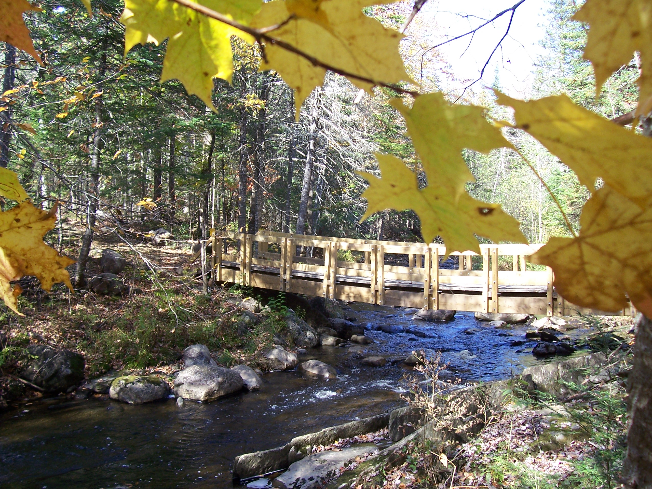
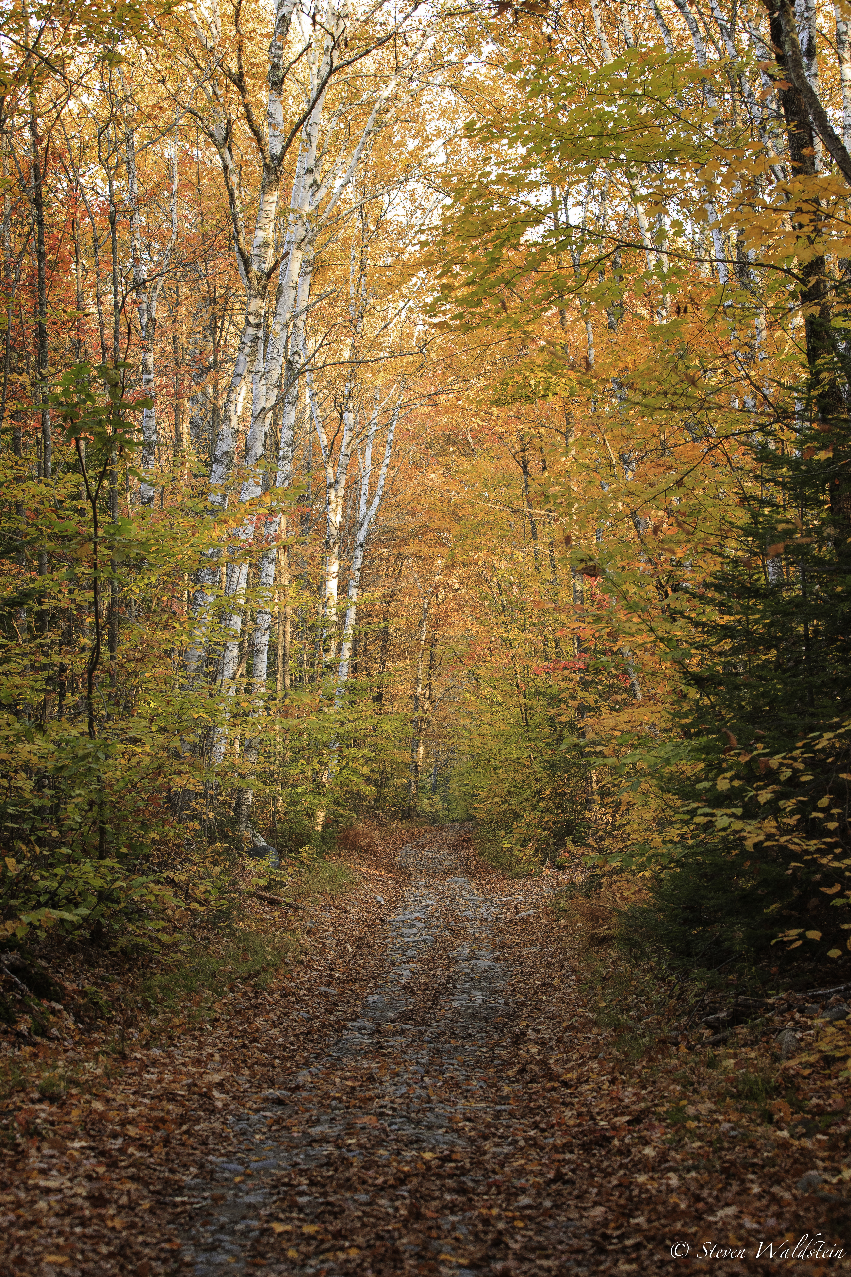
Bridge viewed through Fall Foliage
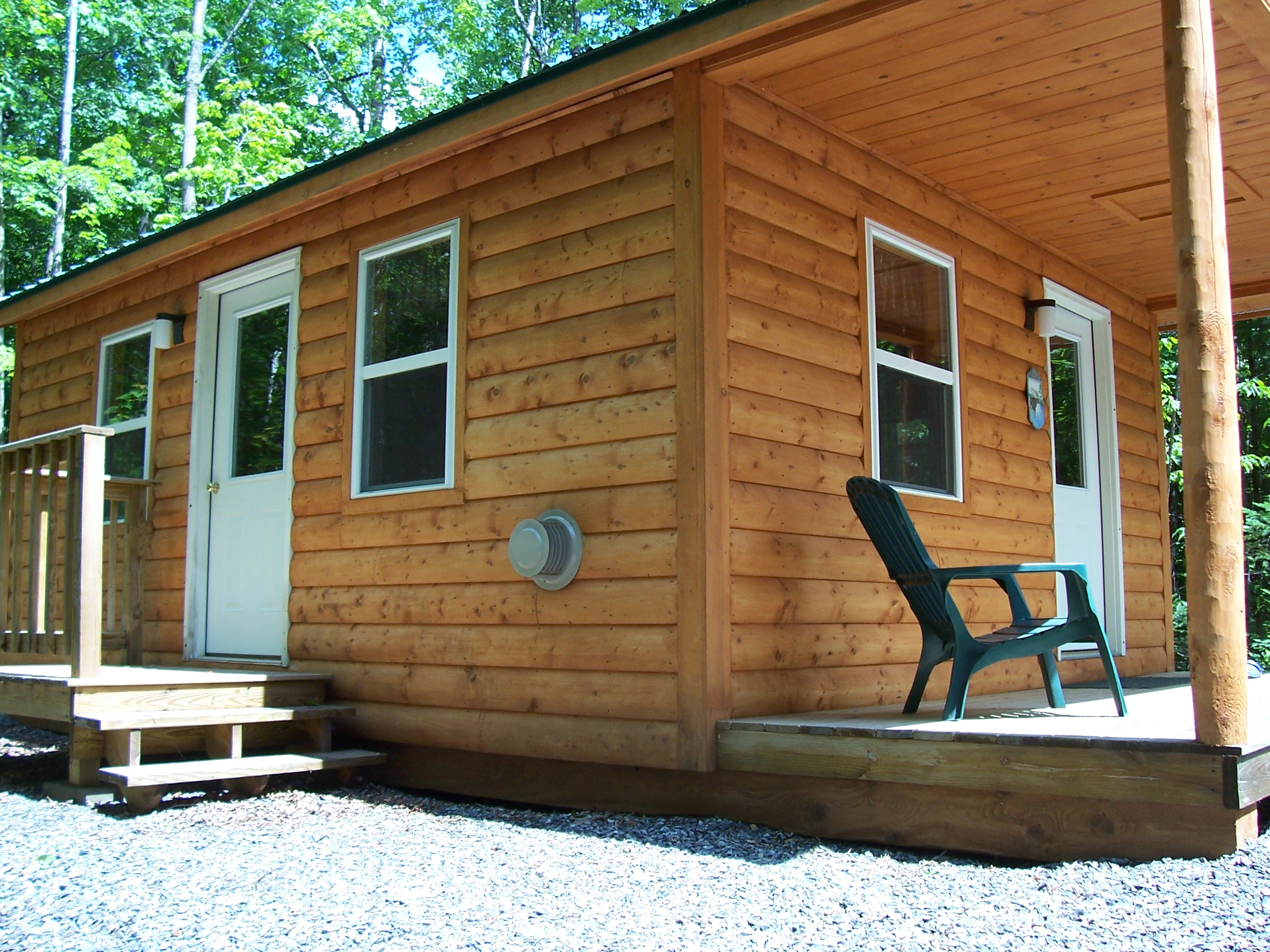
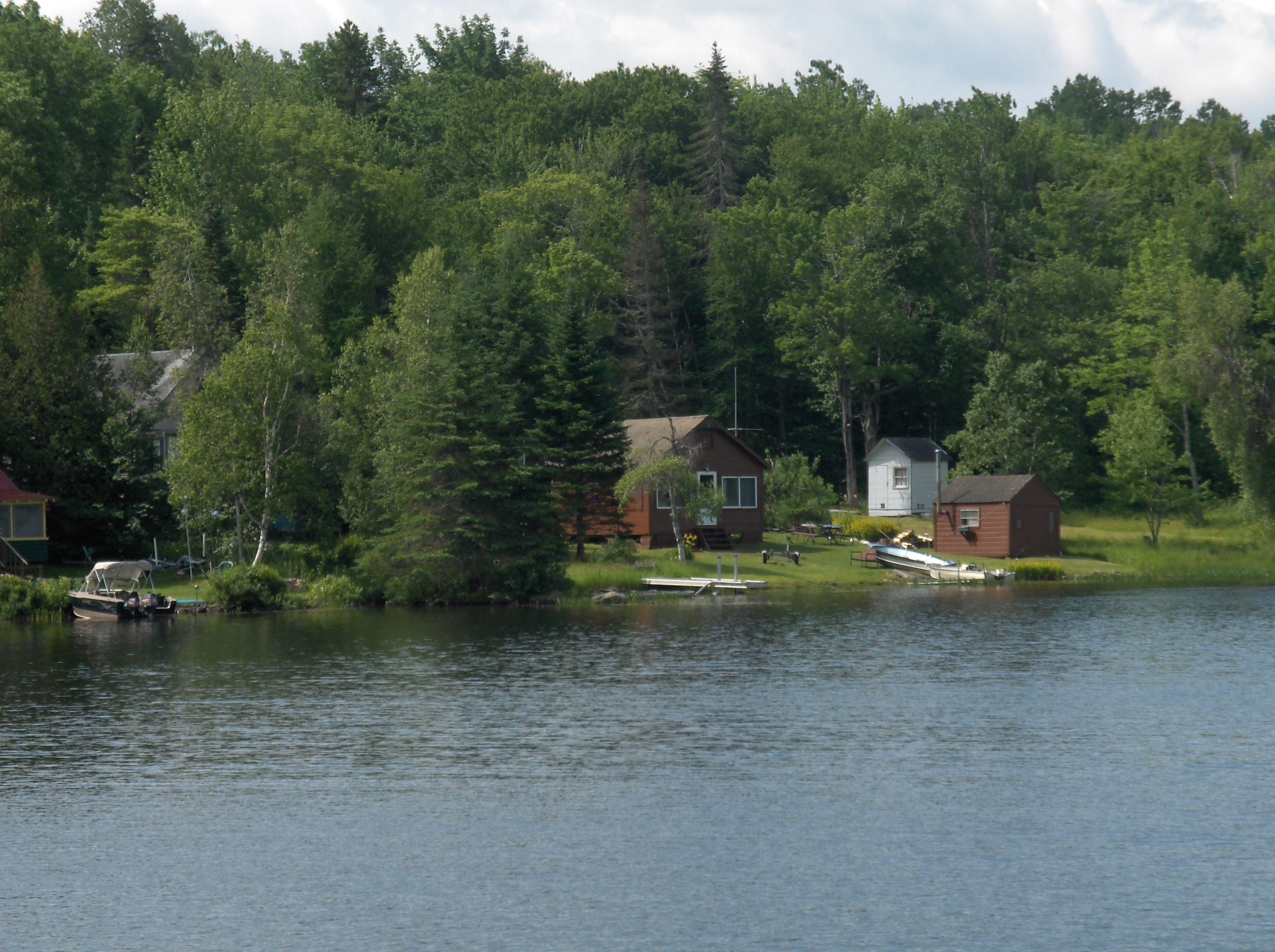
Left Side View Cabin #1

Another View of Kitchen Cabin #3

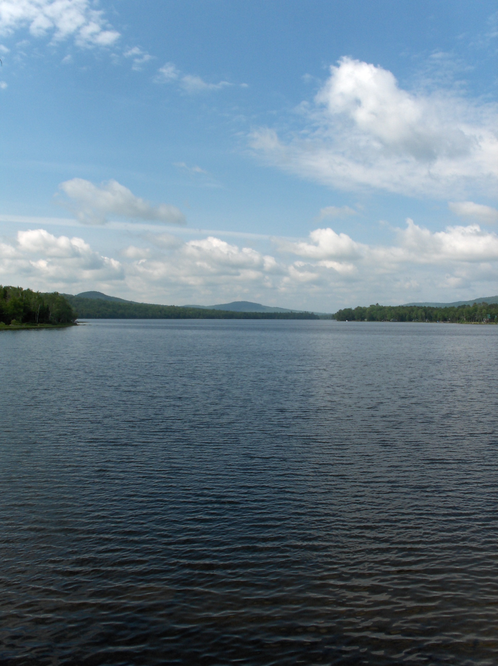
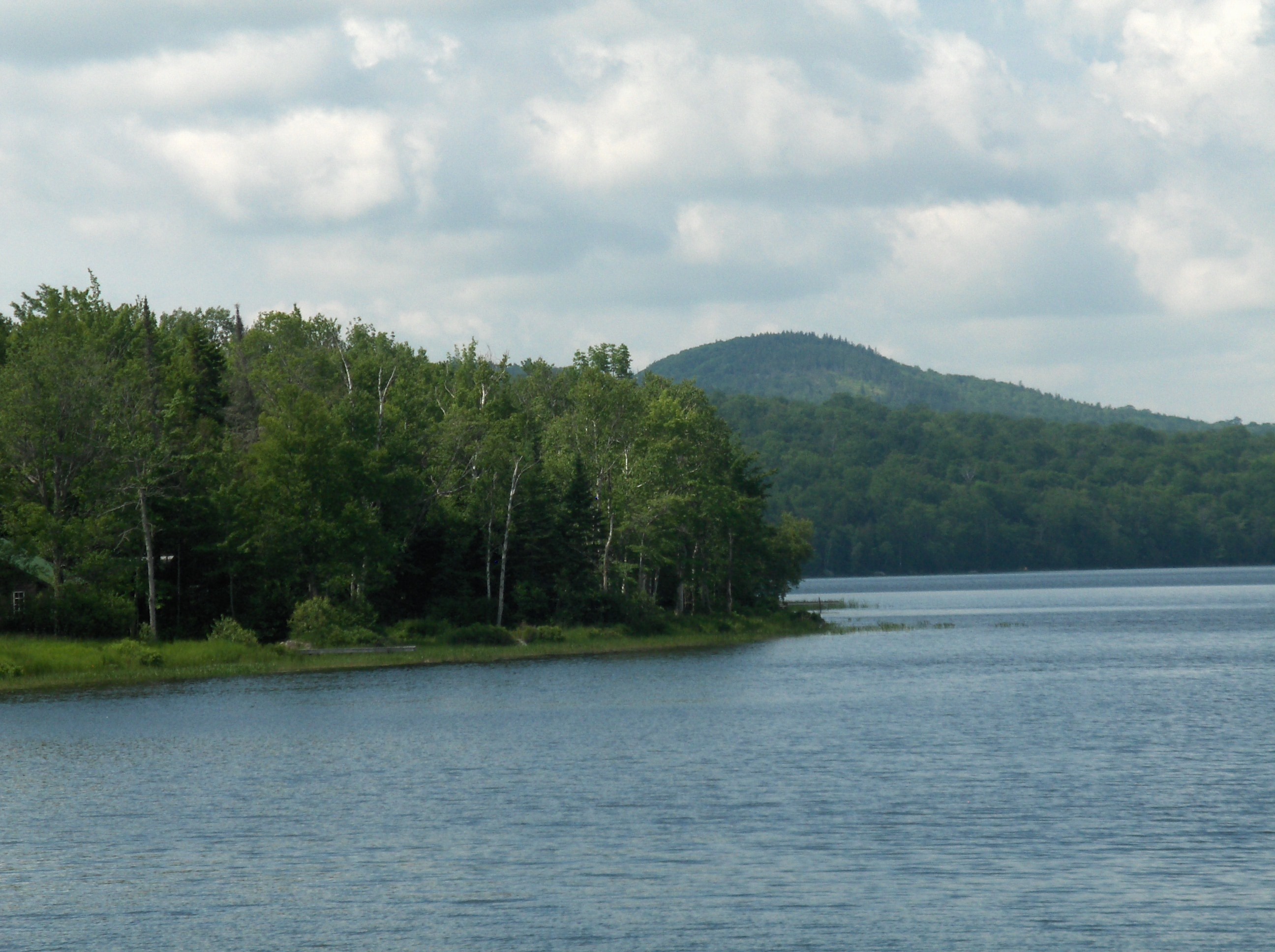
Cambridge Pond, Maine
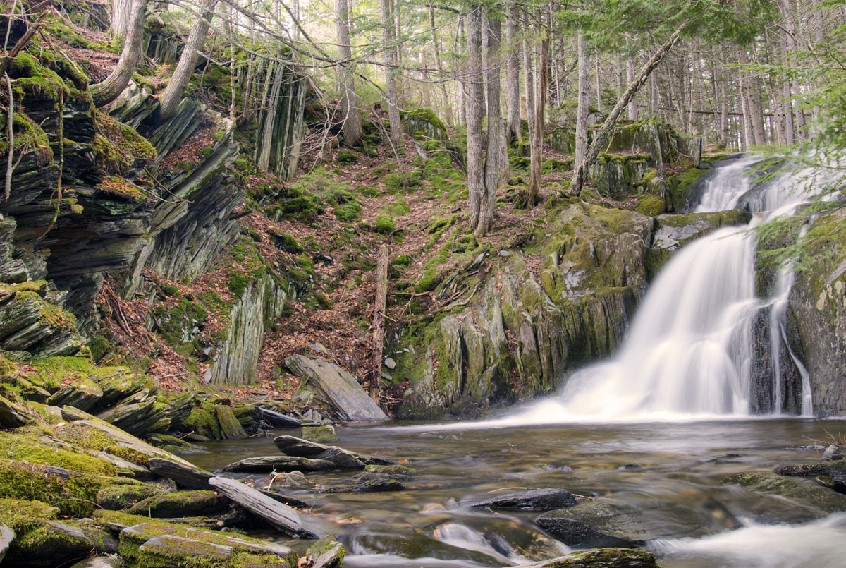
Bottle Brook Falls II

Dead Rabbits 1

Day 2, Kingfield, ME - Fredericton, NB 013

Day 2, Kingfield, ME - Fredericton, NB 009
Day 2, Kingfield, ME - Fredericton, NB 004
Day 2, Kingfield, ME - Fredericton, NB 012
Day 2, Kingfield, ME - Fredericton, NB 011

Day 2, Kingfield, ME - Fredericton, NB 010
20141012_074406_8098_1DX-Edit-2
Topographic Map of 33 Kingsbury Rd, Wellington, ME, USA
Find elevation by address:

Places near 33 Kingsbury Rd, Wellington, ME, USA:
Brighton
Solon Brighton
728 Crow Hill Rd
481 Crow Hill Rd
15 Libby Ln
52 Main St
65 Mcdonald Rd
Fire Ln 3
Parkman
Abbot
Tenney Hill Rd, Abbot, ME, USA
Monson
78 Water St
Maine
21 Village St, Bingham, ME, USA
12 Mayfield Rd
Guilford
Main Street
Main St, Bingham, ME, USA
Bingham
Recent Searches:
- Elevation of Corso Fratelli Cairoli, 35, Macerata MC, Italy
- Elevation of Tallevast Rd, Sarasota, FL, USA
- Elevation of 4th St E, Sonoma, CA, USA
- Elevation of Black Hollow Rd, Pennsdale, PA, USA
- Elevation of Oakland Ave, Williamsport, PA, USA
- Elevation of Pedrógão Grande, Portugal
- Elevation of Klee Dr, Martinsburg, WV, USA
- Elevation of Via Roma, Pieranica CR, Italy
- Elevation of Tavkvetili Mountain, Georgia
- Elevation of Hartfords Bluff Cir, Mt Pleasant, SC, USA