Elevation of 29th Avenue Northwest, 29th Ave NW, Stanwood, WA, USA
Location: United States > Washington > Snohomish County > Stanwood >
Longitude: -122.27118
Latitude: 48.1975601
Elevation: 55m / 180feet
Barometric Pressure: 101KPa
Elevation Map:
Satellite Map:
Related Photos:
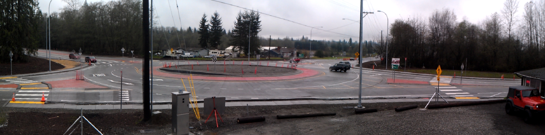
Panoramic view of new SR 9 roundabout in Arlington
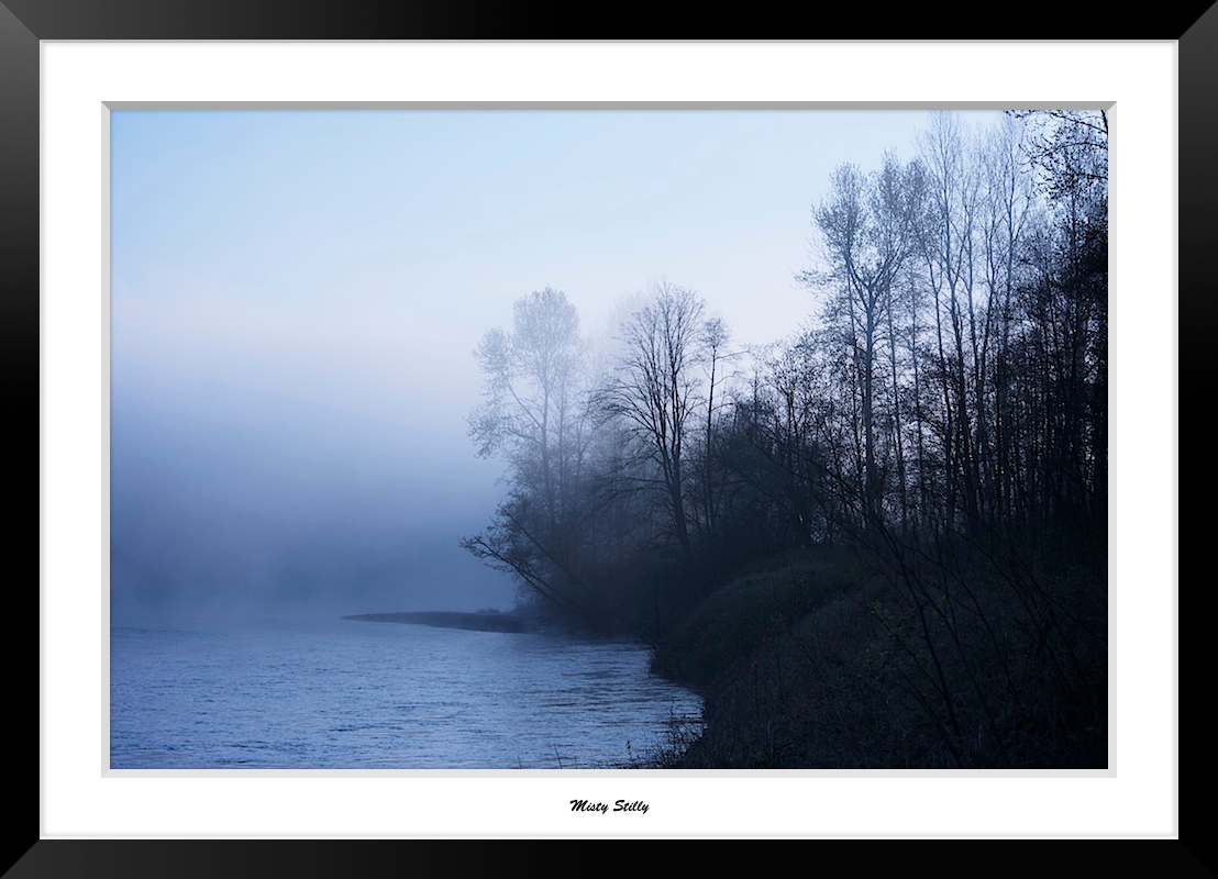
Misty Stilly

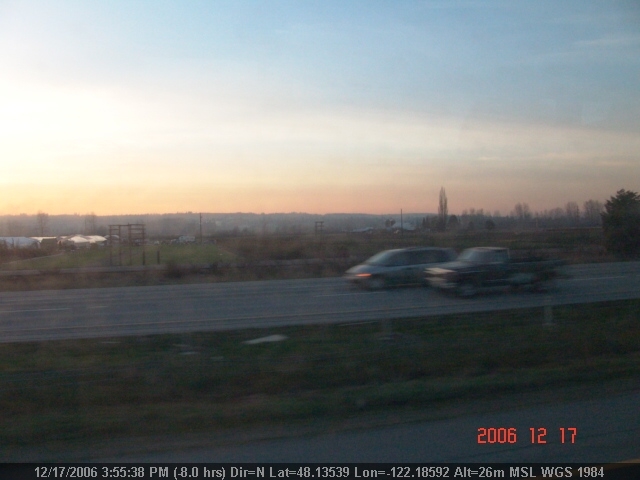
Autumn In February
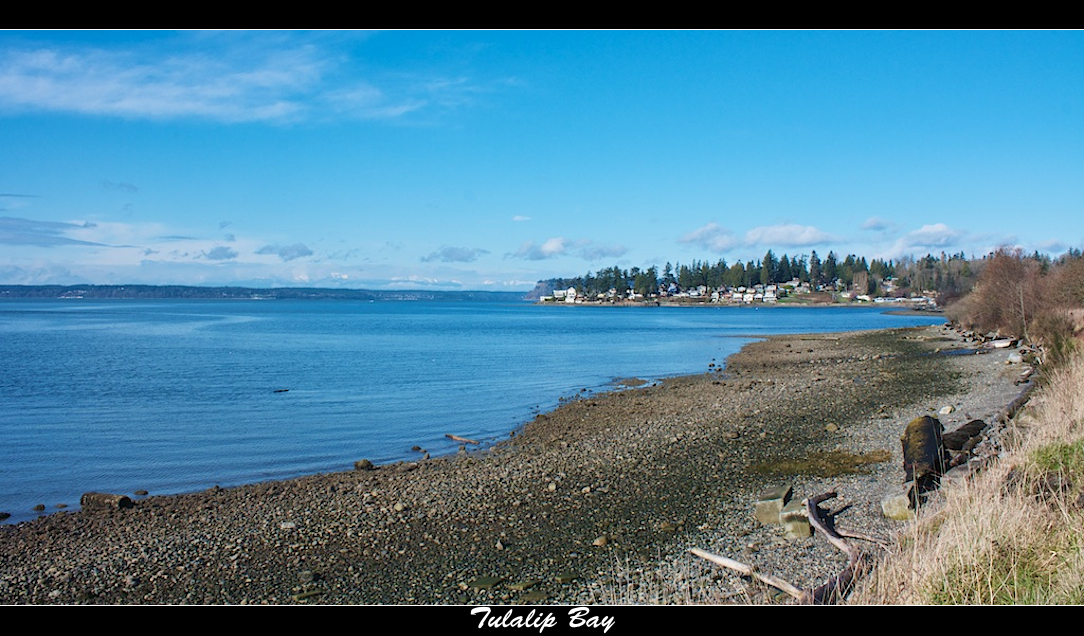
Tulalip Bay
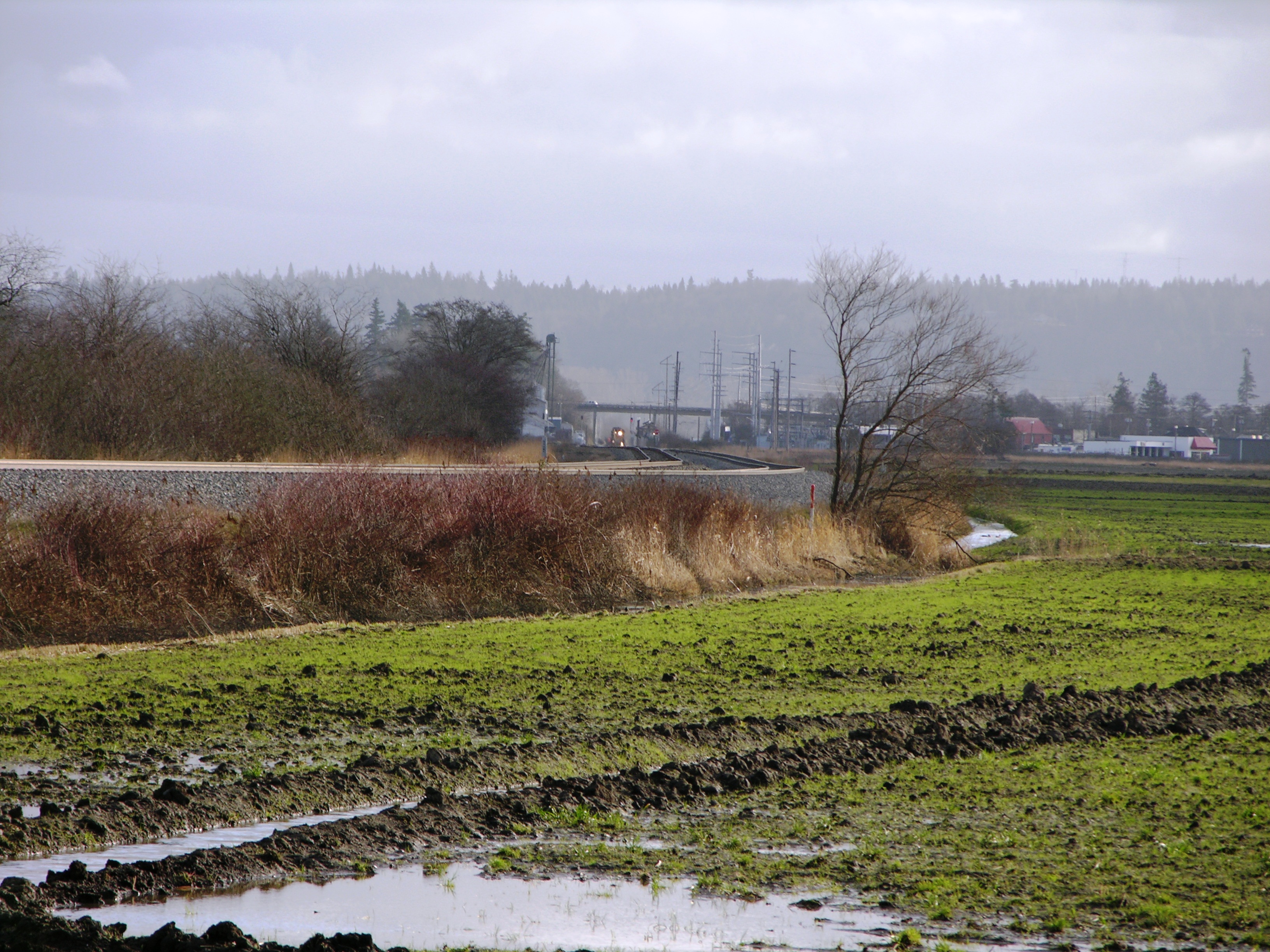
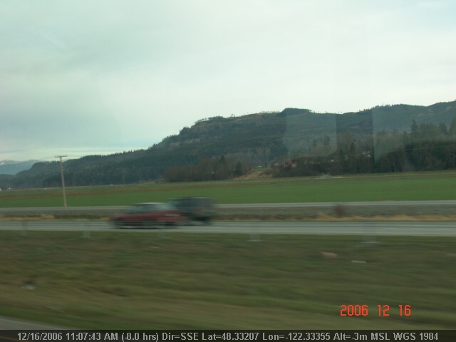
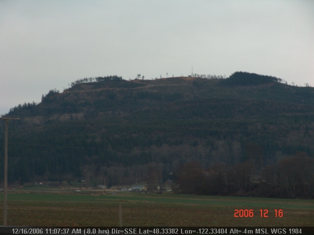
BNSF- Stanwood, Washington

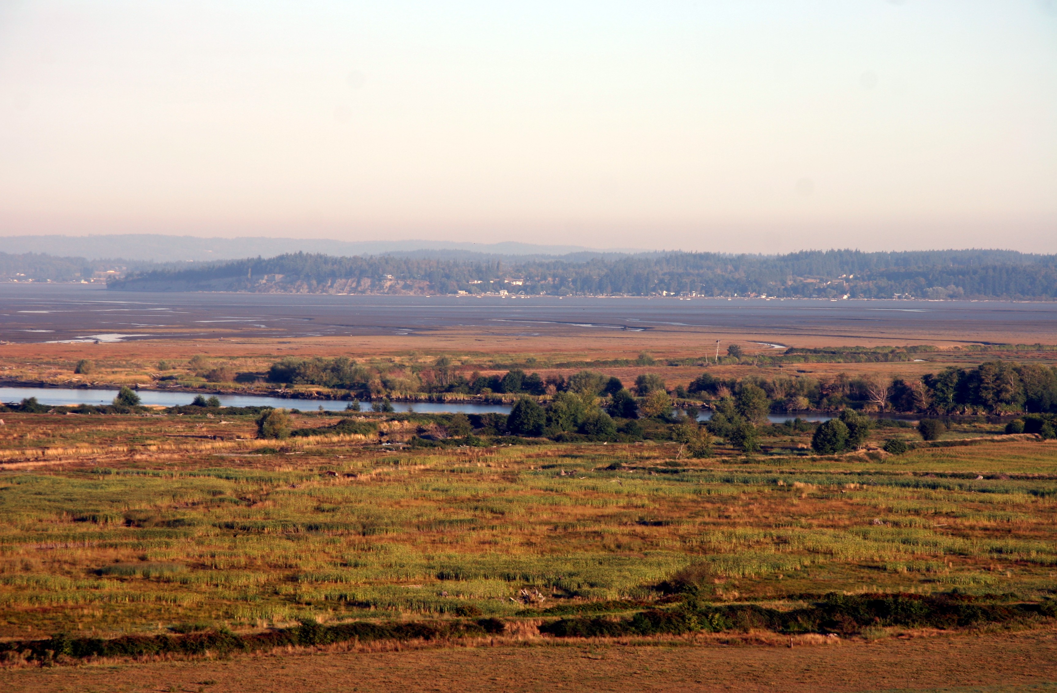
Skagit Bay
Great Plain
LV0145DSC09820.JPG
LV0144DSC09819.JPG
LV1311DSC00694.JPG
Topographic Map of 29th Avenue Northwest, 29th Ave NW, Stanwood, WA, USA
Find elevation by address:

Places near 29th Avenue Northwest, 29th Ave NW, Stanwood, WA, USA:
2615 212th St Nw
21120 Happy Valley Rd
21121 Happy Valley Rd
20911 Happy Valley Rd
4828 212th St Nw
2121 254th St Nw
2110 256th St Nw
4418 188th St Nw
6415 Silvana Terrace Rd
6810 Silvana Terrace Rd
7315 Silvana Terrace Rd
7316 222nd St Nw
26221 5th Ave Ne
Florence Rd, Stanwood, WA, USA
7231 184th St Nw
1905 252nd St Ne
6905 287th Pl Nw
28448 71st Dr Nw
7623 Stauffer Rd
29114 68th Ave Nw
Recent Searches:
- Elevation of Corso Fratelli Cairoli, 35, Macerata MC, Italy
- Elevation of Tallevast Rd, Sarasota, FL, USA
- Elevation of 4th St E, Sonoma, CA, USA
- Elevation of Black Hollow Rd, Pennsdale, PA, USA
- Elevation of Oakland Ave, Williamsport, PA, USA
- Elevation of Pedrógão Grande, Portugal
- Elevation of Klee Dr, Martinsburg, WV, USA
- Elevation of Via Roma, Pieranica CR, Italy
- Elevation of Tavkvetili Mountain, Georgia
- Elevation of Hartfords Bluff Cir, Mt Pleasant, SC, USA