Elevation of 23 Cove Dr, Lubec, ME, USA
Location: United States > Maine > Washington County > Lubec >

Longitude: -66.982508

Latitude: 44.8063544

Elevation: 6m / 20feet

Barometric Pressure: 101KPa

Elevation Map:

elevation map of 23 Cove Dr, Lubec, ME, USA
Satellite Map:

Satellite map of 23 Cove Dr, Lubec, ME, USA

Related Photos:

houses july2004 canada 2004 parks july newbrunswick oldhouses campobello rooseveltcampobellointernationalpark hubbardcottage internationalparks
Hubbard cottage, Roosevelt Campobello International Park
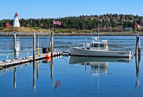
seascape canada me maine scenic lubec lightstation campobelloisland landscapephotograph lubecnarrows mulhollandpointlighthouse
View of Mulholland Point Lighthouse from Lubec, Maine.
ocean sunset blackwhite maine atlanticocean quoddyheadlight
Lubec 7-27-12 (144)-2
ocean morning sunrise maine newengland atlanticocean lubec
Sunrise - Lubec 7-28-12 (65)
canada water architecture salmon newbrunswick fishfarming campobelloisland hubbardcottage mffotosoldsaybrook
Hubbard Cottage view
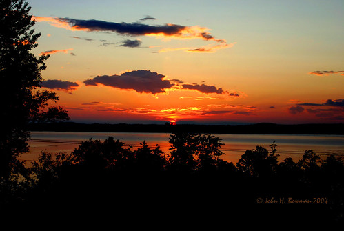
july2004 canada 2004 july sunsets newbrunswick bays enjoylife campobello friarsbay rubyphotographer exphoto lupinelodge
Friar's Bay sunset - Campobello
blue trees vacation water grass fog dark landscape dusk maine foggy scenic bluesky marsh lubec
Colors in Nature - Blue ~ part 2
blue red vacation reflection green water night dark boats harbor fireworks dusk maine bluesky lubec
Lubec Harbor Fireworks
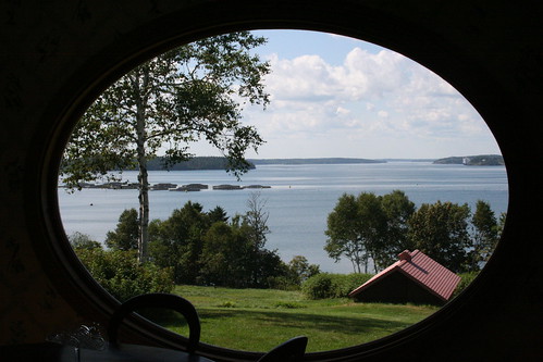
new canada museum island brunswick roosevelt campobello
A Room with a View
canada forest photo newbrunswick vista campobelloisland rooseveltcampobellointernationalpark eaglehillobservationplatform
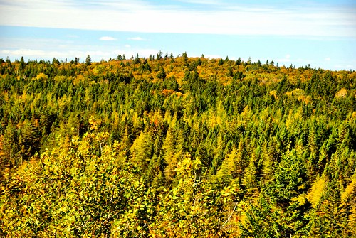
View from Eagle Hill #1
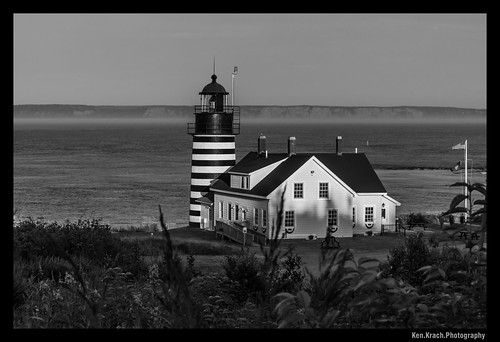
kh0831 maine
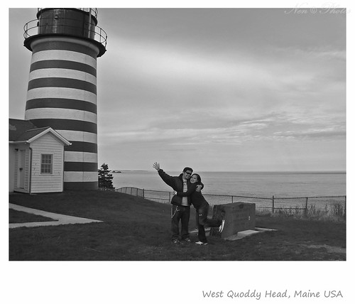
West Quody Head Lighthouse
maine lubec
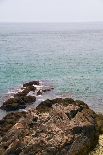
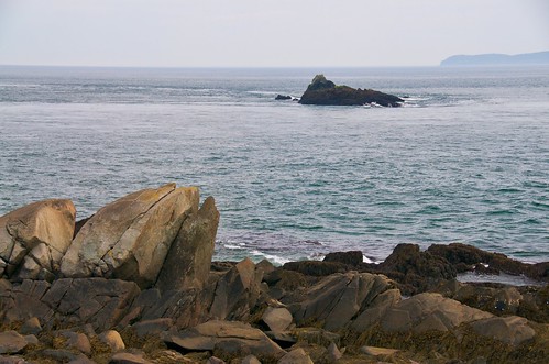
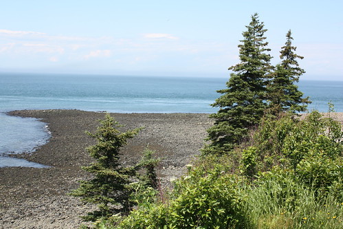
View from West Quoddy State Park
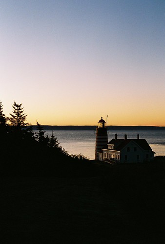
lighthouse sunrise maine lubec westquoddyheadlight
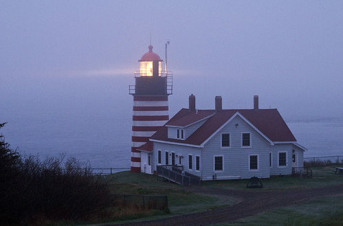
West Quoddy Head Light
maine lubec
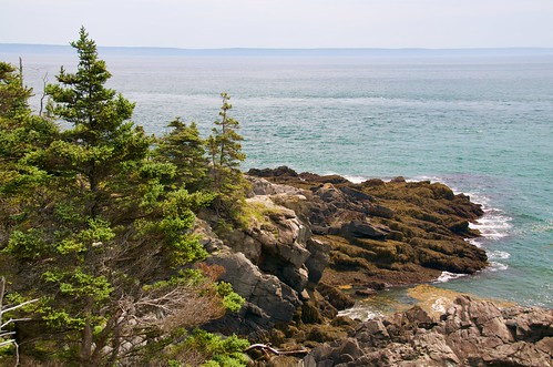
View from West Quoddy State Park
maine lubec
View from West Quoddy State Park
lighthouse unitedstates maine newbrunswick lubec campobello quoddy westquoddylighthouse
West Quoddy Head Light
trees canada water view newbrunswick grandmanan charlottecounty grandmananisland
Grand Manan Island
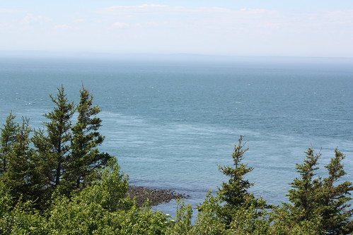
canada view newbrunswick grandmanan charlottecounty grandmananisland
View from Long Eddy Light
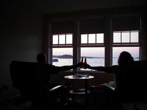
view
HAVING A BEER
portrait lighthouses maine lubec quoddyhead westquoddy lighthousesofmaine westquoddyheadmaineusa easternmostpointofusa
Easternmost point in the USA
vacation boat town dock maine newengland lubec
Lubec, Maine
morning blue red vacation sun sunlight lighthouse white green grass yellow clouds sunrise landscape early stripes maine scenic bluesky scene lubec westquoddyheadlight
Lighthouse Morning
blue red vacation orange tree water clouds sunrise landscape bay maine scenic bayoffundy lubec
Lubec Sunrise
ocean longexposure rocks maine atlanticocean lubec
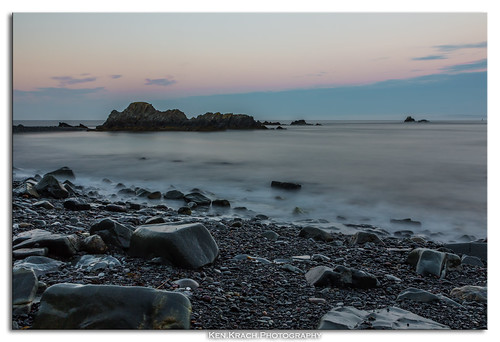
Lubec Sunset
seascape me marina boat ship maine scenic fishingboat lubec boatdock boatslip landscapephotograph historicwaterfront
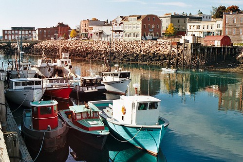
The Historic Waterfront area of Lubec, Maine
blue light red vacation orange lighthouse building water clouds sunrise landscape dawn day stripes maine scenic bluesky lubec westquoddyheadlight pwpartlycloudy
West Quoddy Head Light
canada home island roosevelt ontheroad fdr campobello ipad
Campobello Island
20150528-170900
{vision}:{outdoor}=099 {vision}:{clouds}=097 {vision}:{ocean}=0783 {vision}:{sky}=0973
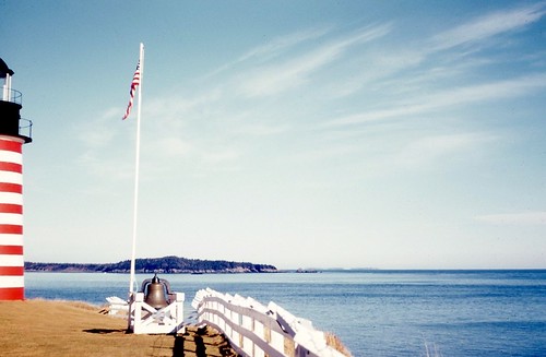
West Quoddy lighthouse in the 50's with the white wood fence on Kodachrome
Bar Harbor, ME
ocean lighthouse sunrise mainecoast lubec sooc westquoddyheadlight
West Quoddy Headlight
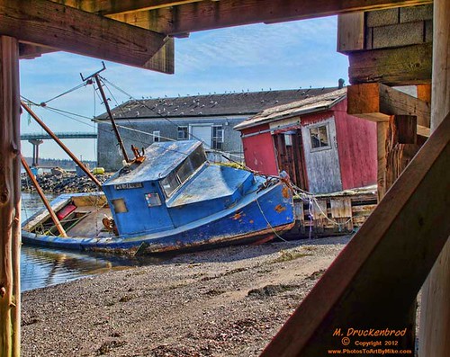
Over the breakwater in Lubec, Maine, USA
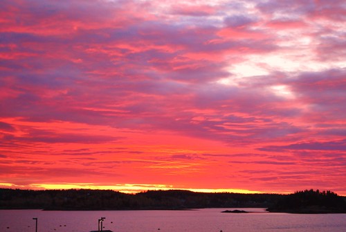
7-2 sunrise
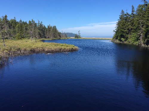
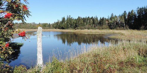
Pike's Puddle--On the left is Sorbus americana , American Mountianash
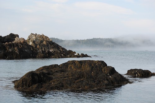
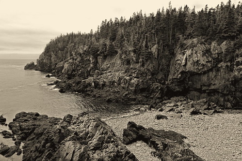
bw beach monochrome landscape seaside rocks quiet maine vista deserted rugged lubec platinumtoned quoddyheadstatepark pawshredding
Who Needs Sand, We Got Rocks
Over Johnson Bay in Lubec, Maine, USA
red vacation sun lighthouse white green water grass clouds sunrise fence landscape boat stripes maine scenic bluesky lubec westquoddyheadlight
Sun Light