Elevation of 1 Kamsak Rd, Brewster, WA, USA

Location: United States > Washington > Okanogan County > Brewster >

Longitude: -119.82668

Latitude: 48.1382731

Elevation: 859m / 2818feet

Barometric Pressure: 91KPa

Elevation Map:

elevation map of 1 Kamsak Rd, Brewster, WA, USA

Satellite Map:

Satellite map of 1 Kamsak Rd, Brewster, WA, USA

Related Photos:

bicycle movement streaking nude naked brewster washington
haulin' ass
tree-foggy-landscape towards town
river washington columbia okanoganvalley
View from Fort Okanogan
washington columbiariver confluence okanoganvalley okanoganriver fortokanogan
View from Fort Okanogan
cemetery brewster packwood
View of the Valley
cemetery brewster packwood
Scenic View
easternwashington winterbirding wostrip washburnislandview photographerlaurelparshall
02172012 103 Washburn Island far shore reflection with ducks
landscape nature clouds cloudy trees scenic scenery mountain rocks canoneos5dmarkiii canonef100400mmf4556lisusm pacificnorthwest altalakestatepark washington
Wondered Why
travel winter canon landscape columbiariver brewster washingtonstate canonefs1585mmf3556isusmlens
Columbia River and Brewster
wood blur flower building green field rain yellow washington overcast shack washingtonstate drizzle 201006 blurbackground
Alone in the Field
blackandwhite landscape nature clouds cloudy trees minimalism minimal pacificnorthwest canoneos5dmarkiii canonef100400mmf4556lisusm monochrome washington wallpaper background
The Mind's Island
road bridge clouds river landscape photo washington highway image steel picture overcast valley span hdr methow bridging truss photomatix sr153 201006 okanogancounty bridgepixing pateros bridgepix
Methow River Bridge
morning tree landscape wa brewster cotcpersonalfavorite wacty
dawn on a small ponderosa pine
washington nikon unitedstates roadtrip columbiariver brewster washingtonstate 2014 easternwashington d7000
Columbia in the Okanogan
panorama landscape brewster
north star road panorama-color
bridge landscape washington unitedstates motorcycletrip 2015 methowvalley pateros motography methowriver hwy153 methowvalleyhwy motographymay2015
Troubled bridge over water
landscape spring brewster
the new road to Starzman Lake
square squareformat iphoneography instagramapp uploaded:by=instagram foursquare:venue=4c1c2089b306c9288a7063b7
Brewster, WA
dji spark
DJI_0117-JRedit
square squareformat iphoneography instagramapp uploaded:by=instagram foursquare:venue=4c1c2089b306c9288a7063b7
Nature's Mirror #northwest
washington astronomy lc antenna
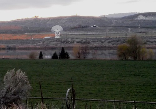
Very Long Baseline Array Antenna
brewster washington landscape bw
rock valley bw
washington lc antenna
Satellite Antenna Farm near Brewster, Washington
bridge trees water clouds forest river landscape washington squirrel footbridge overcast wildflowers methow 201006 pateros
Squirrel Bridge
morning landscape gold wa brewster 1618
fall morning
landscape cow spring brewster
an impossibly beautiful spring landscape
dji spark
DJI_0111-JRedit_0-JRedit_2-JRedit_Detail