Elevation of French Creek Road, French Creek Rd, Methow, WA, USA
Location: United States > Washington > Pateros >
Longitude: -120.00215
Latitude: 48.1374129
Elevation: 349m / 1145feet
Barometric Pressure: 97KPa
Elevation Map:
Satellite Map:
Related Photos:
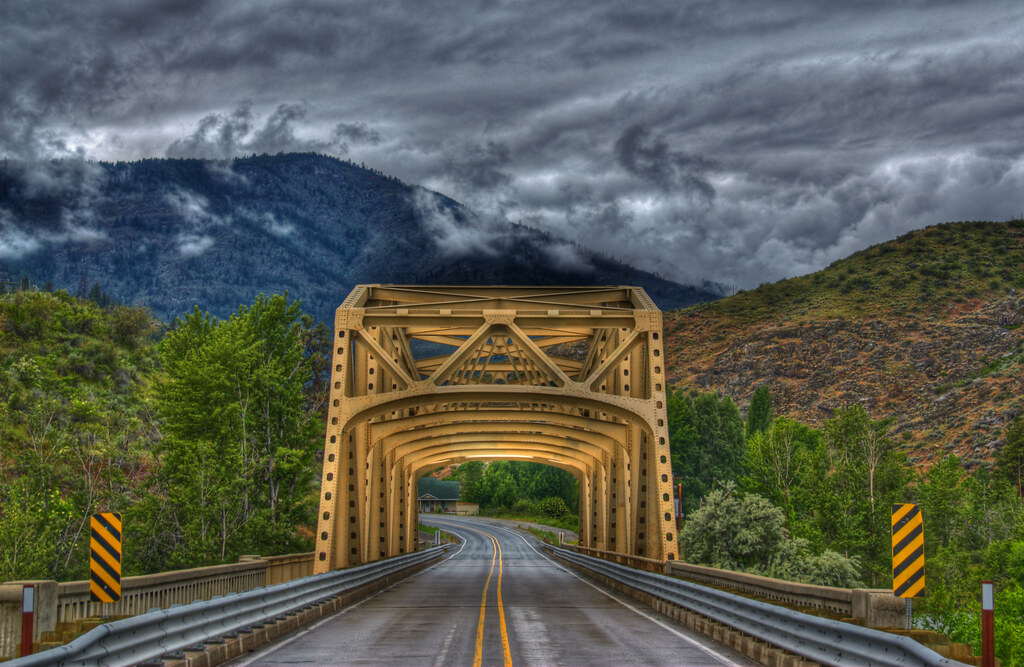
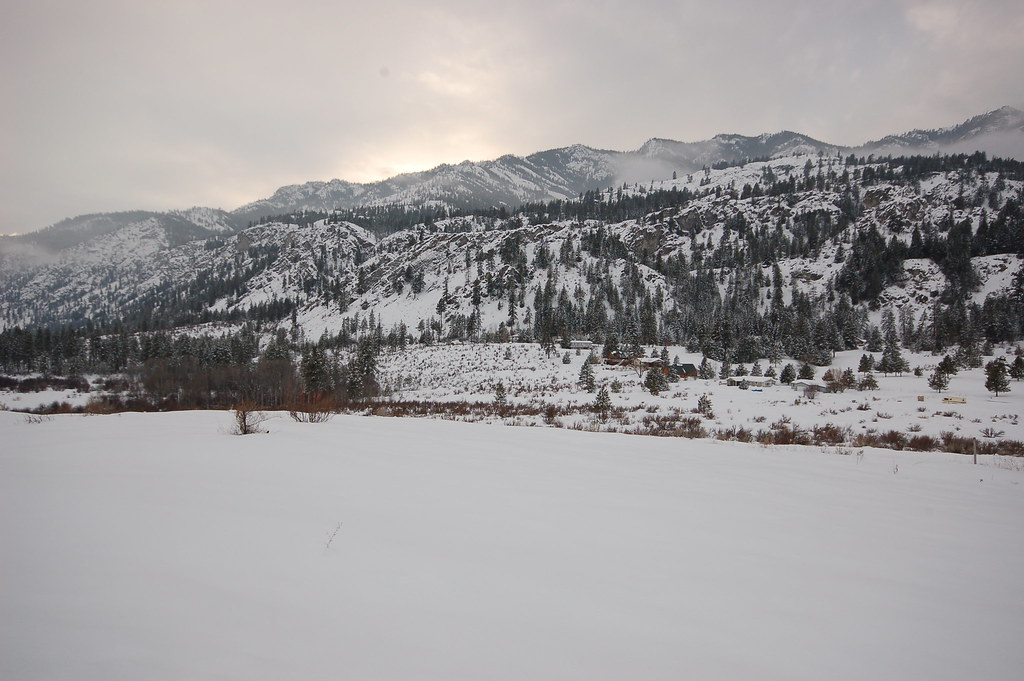
Methow River Bridge

Alta Lake
Wondered Why

The Mind's Island
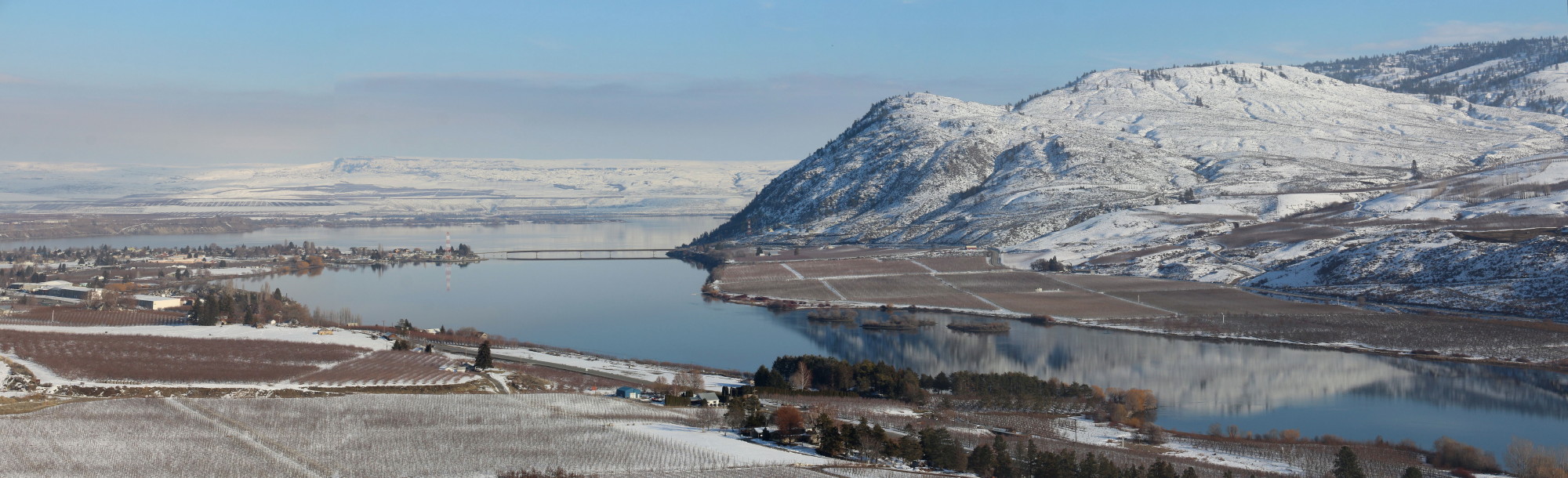
Columbia River and Brewster
PIX-IMG_5149HDTV-Test-g
Alta Lake Winter Trip

Alta Lake Winter Trip

Sledding county

DAZ50734 -1

DAZ50722 -1

Squirrel Bridge
DAZ50744 -1

for birdie
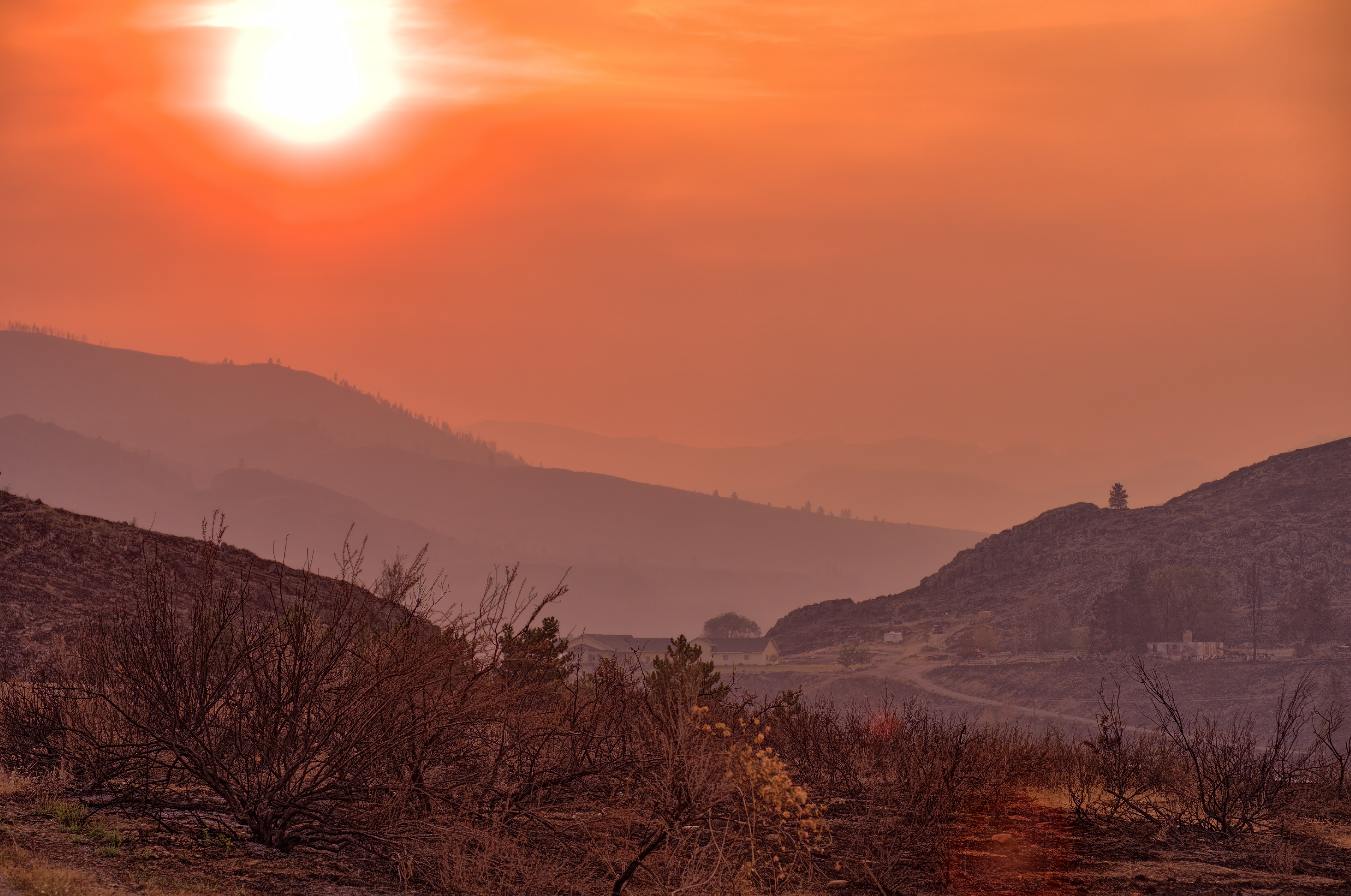
Smoky Gradient
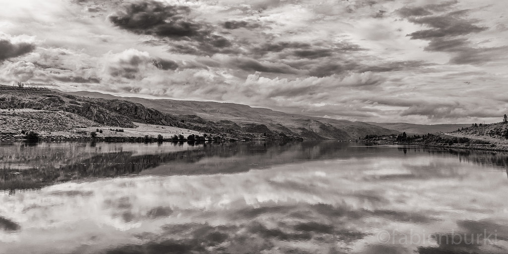
Columbia river

Bee and Flower
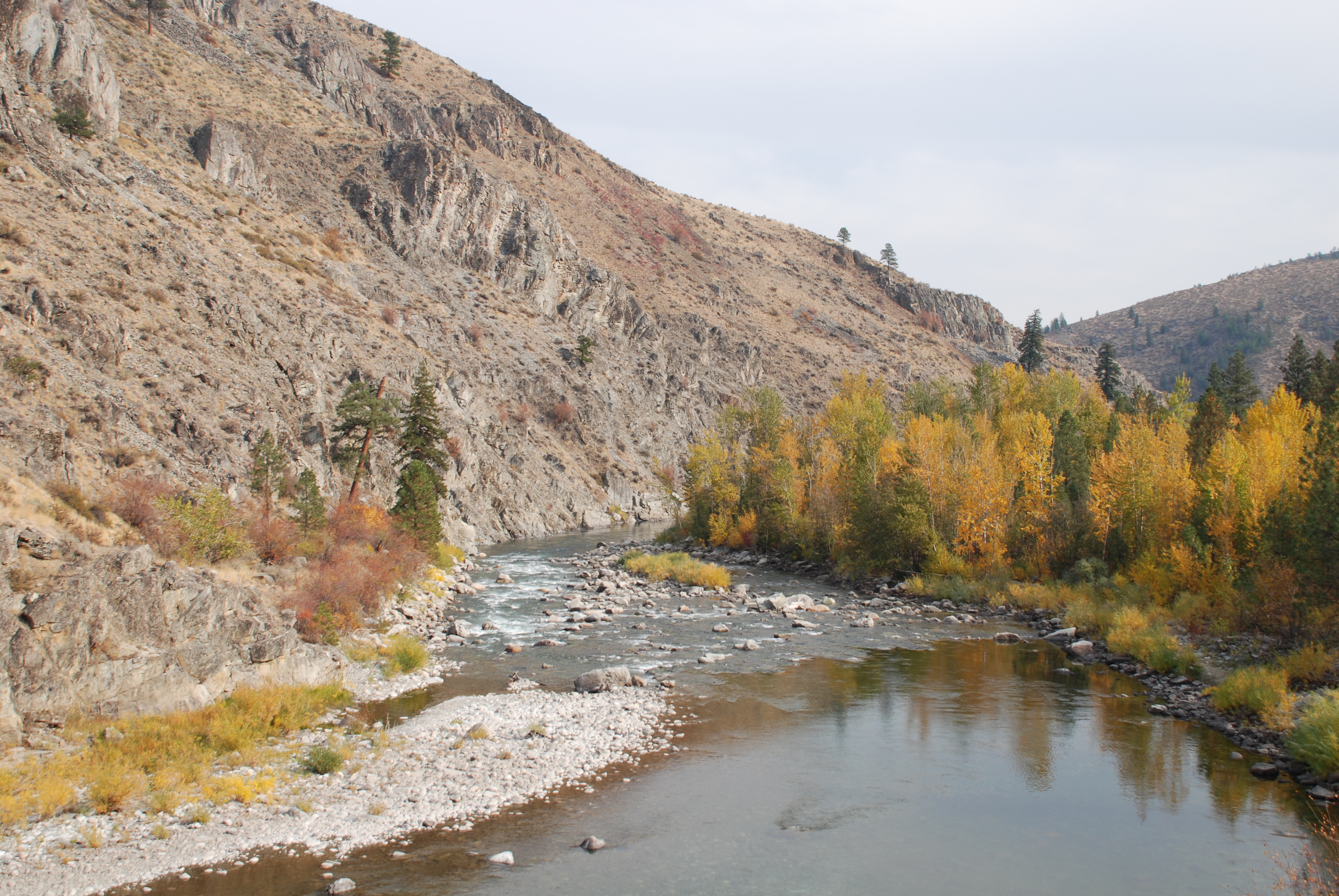
Methow River
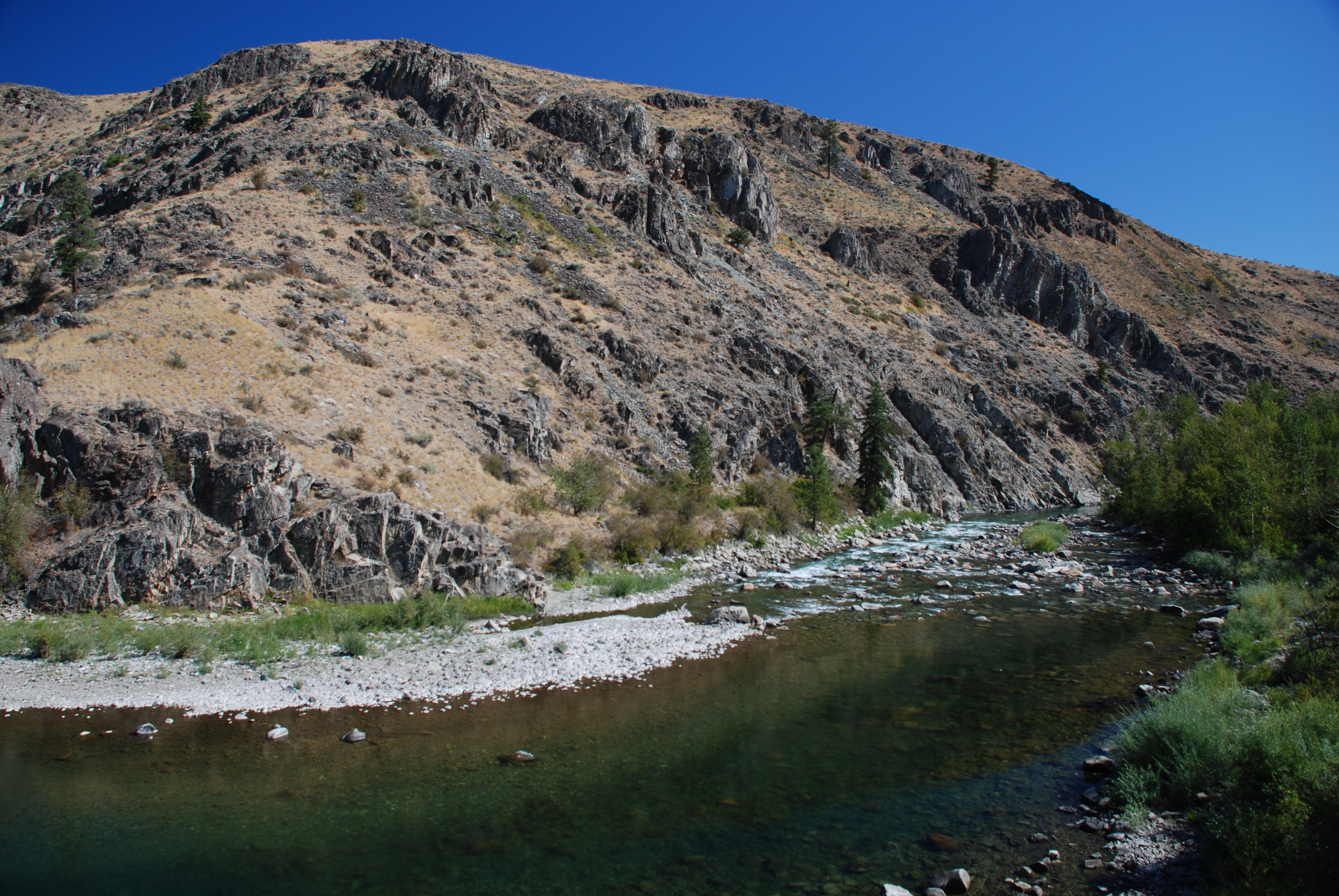
Methow River
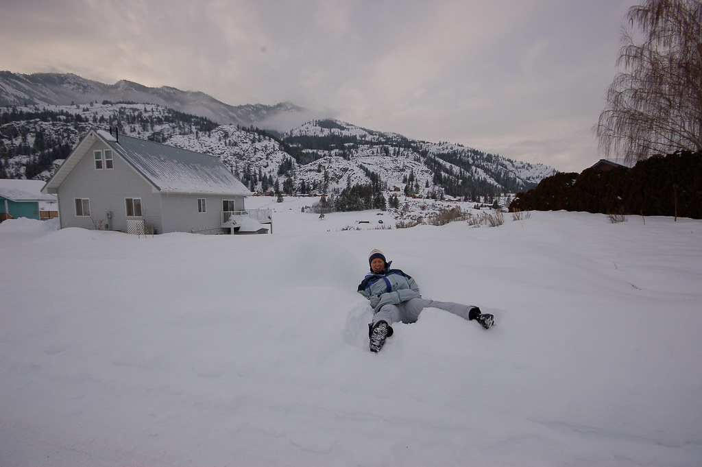
Alta Lake Winter Trip
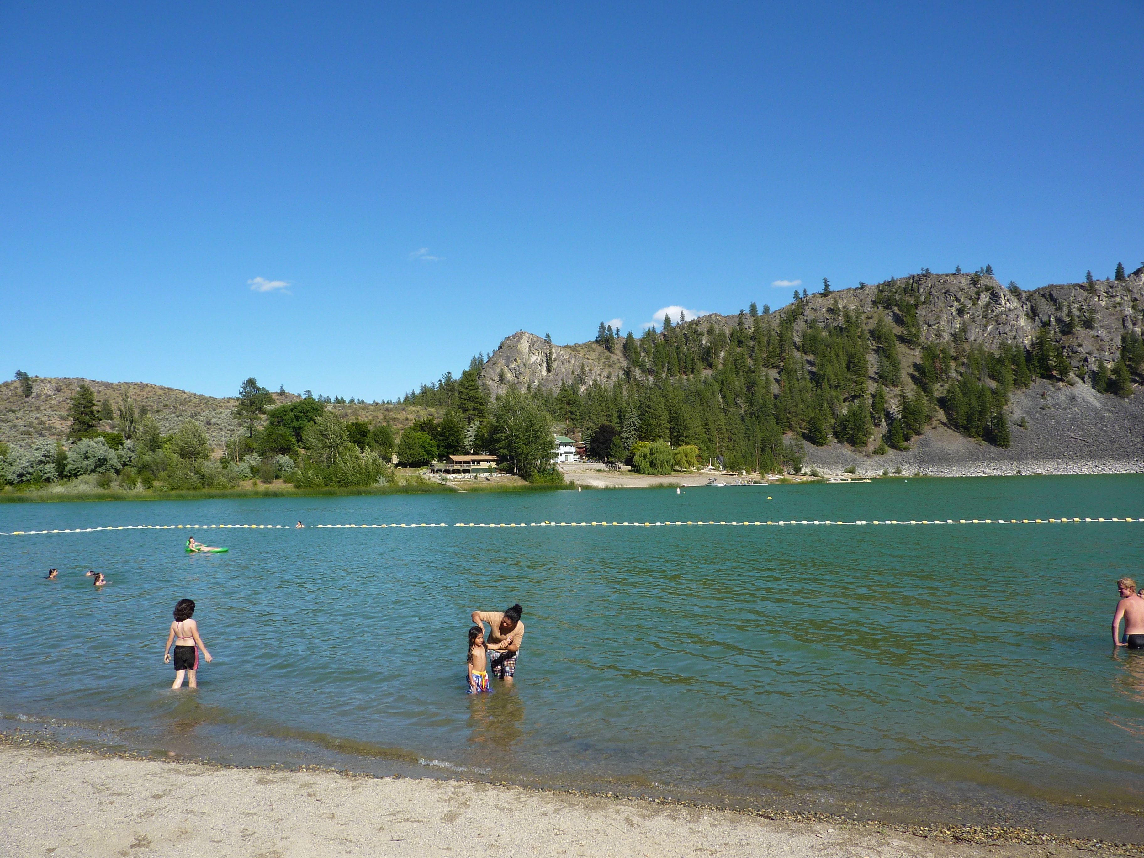
Alta Lake State Park
Topographic Map of French Creek Road, French Creek Rd, Methow, WA, USA
Find elevation by address:

Places near French Creek Road, French Creek Rd, Methow, WA, USA:
Methow
696 Texas Creek Rd
54 Sanctuary Ln
630 Texas Creek Rd
221 Texas Creek Rd
Alta Lake State Park
Pateros
77 Stokes Rd
42 Old Carlton Rd
Cooper Mountain Road
Carlton Rv Park
Carlton
11 Kamsak Rd
5 Kamsak Rd
1 Kamsak Rd
1 Kamsak Rd
14 Kamsak Rd
Kamsak Road
17 Kamsak Rd
25 Kamsak Rd
Recent Searches:
- Elevation of Corso Fratelli Cairoli, 35, Macerata MC, Italy
- Elevation of Tallevast Rd, Sarasota, FL, USA
- Elevation of 4th St E, Sonoma, CA, USA
- Elevation of Black Hollow Rd, Pennsdale, PA, USA
- Elevation of Oakland Ave, Williamsport, PA, USA
- Elevation of Pedrógão Grande, Portugal
- Elevation of Klee Dr, Martinsburg, WV, USA
- Elevation of Via Roma, Pieranica CR, Italy
- Elevation of Tavkvetili Mountain, Georgia
- Elevation of Hartfords Bluff Cir, Mt Pleasant, SC, USA