Elevation of Pateros, WA, USA
Location: United States > Washington >
Longitude: -119.90340
Latitude: 48.0509756
Elevation: 242m / 794feet
Barometric Pressure: 98KPa
Elevation Map:
Satellite Map:
Related Photos:
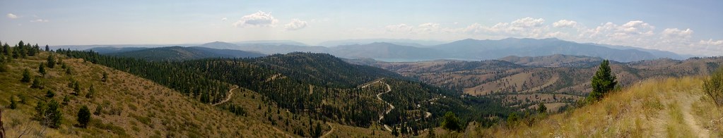
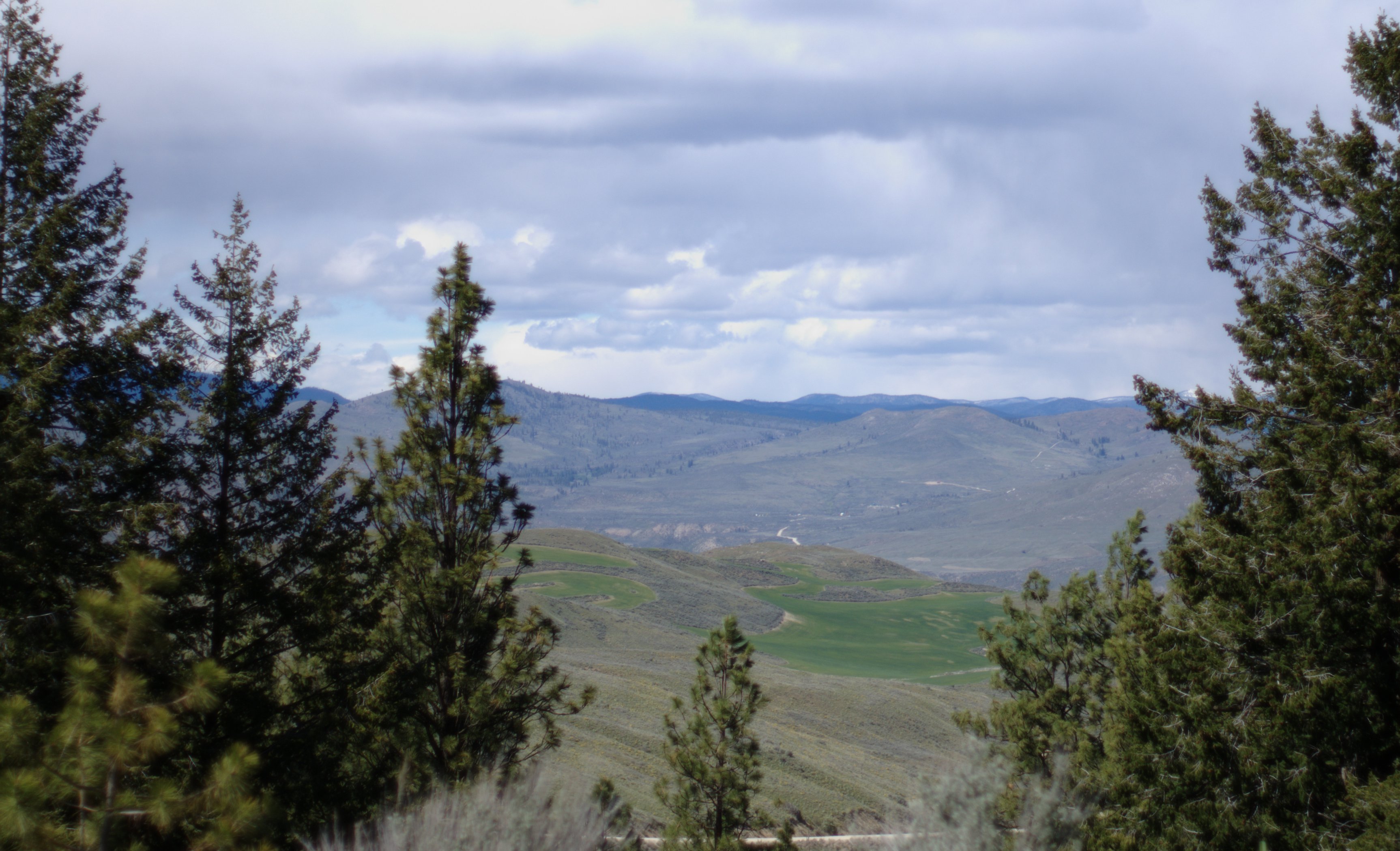
Another view from Echo Ridge
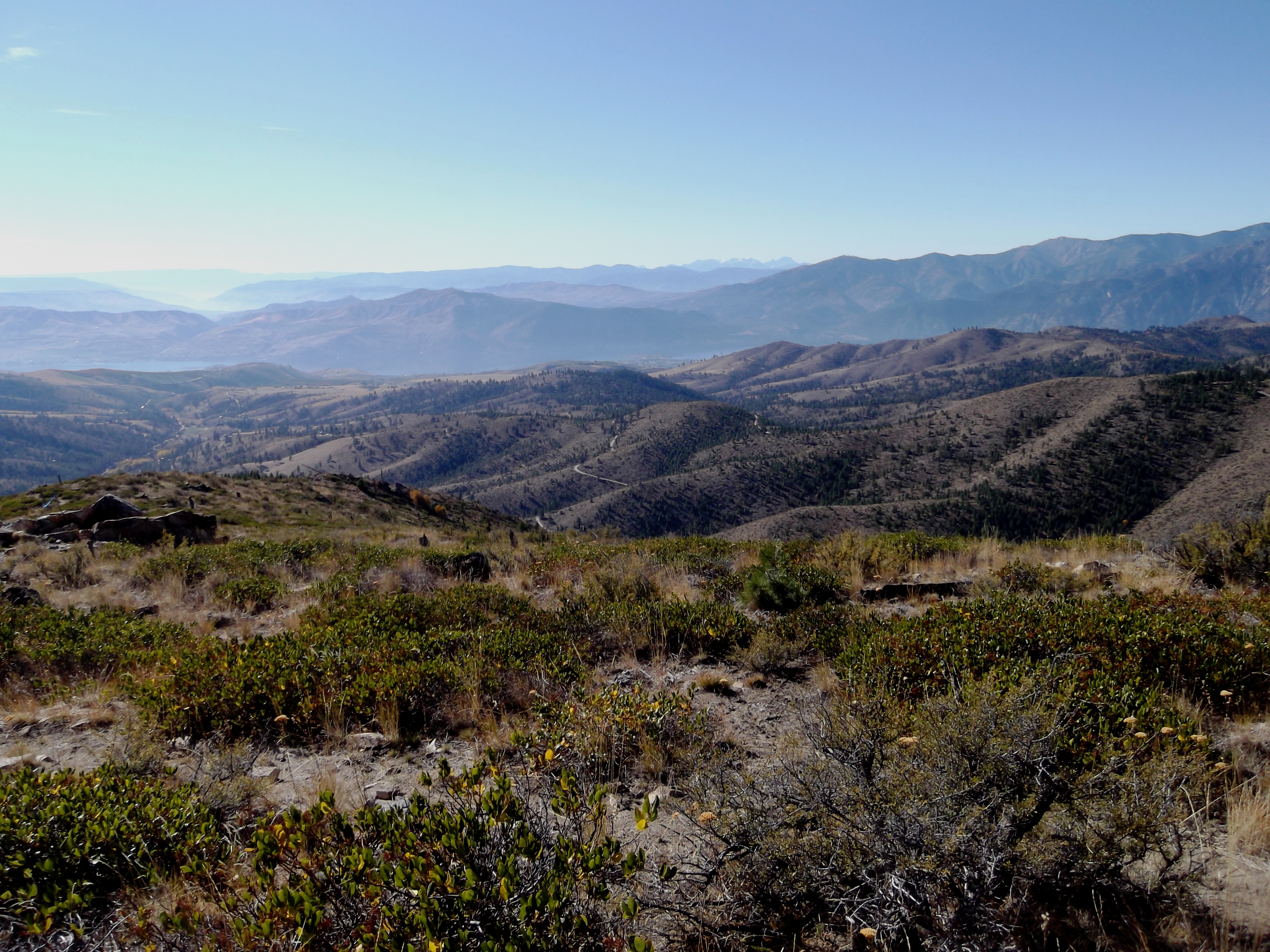
View from Russell's Butte, Echo Ridge

Pete and Lone Pine
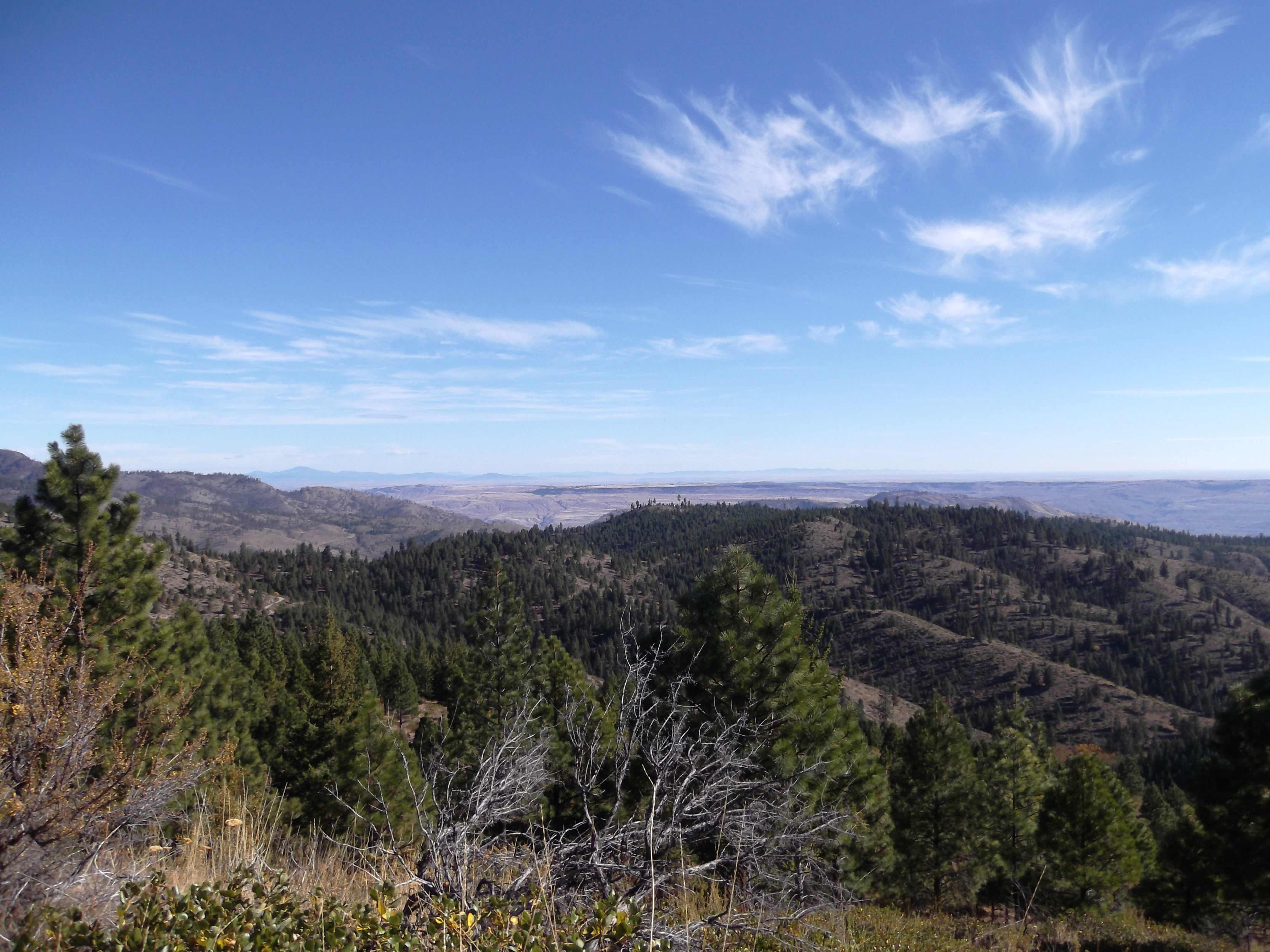
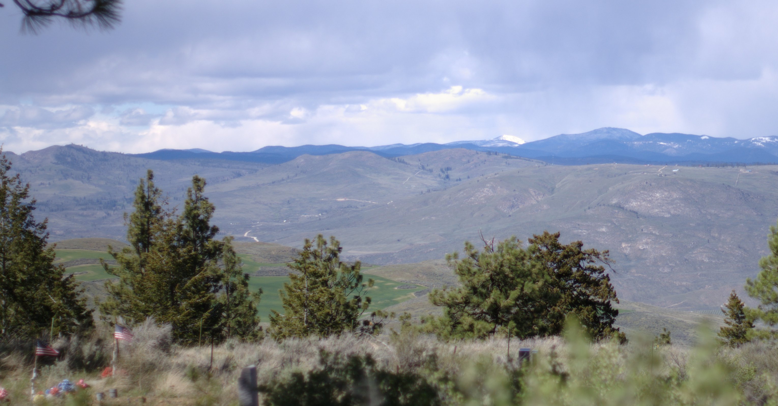
Echo Ridge view to Waterville Plateau

Pete and Lone Pine
View from Fort Okanogan
View from Fort Okanogan
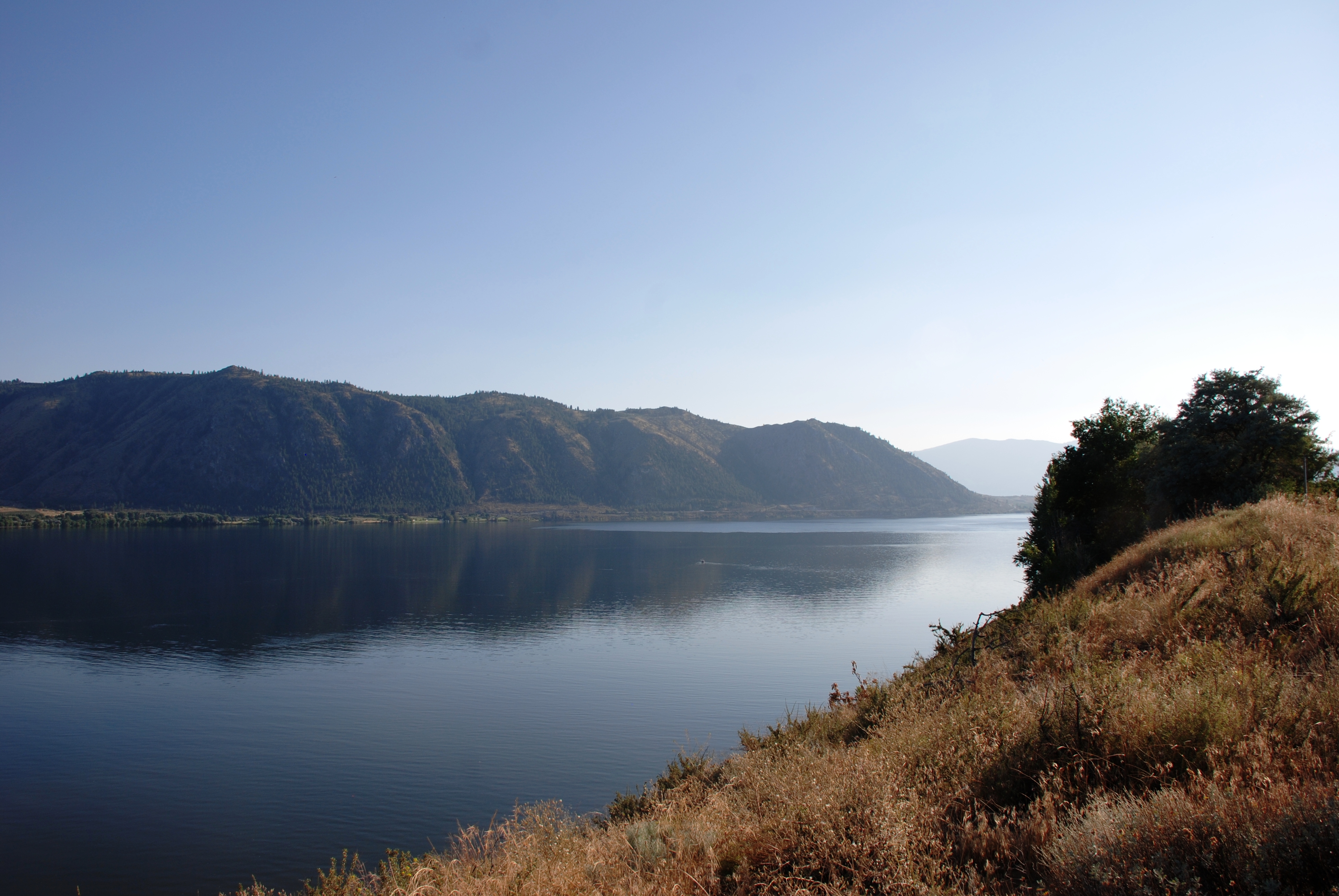
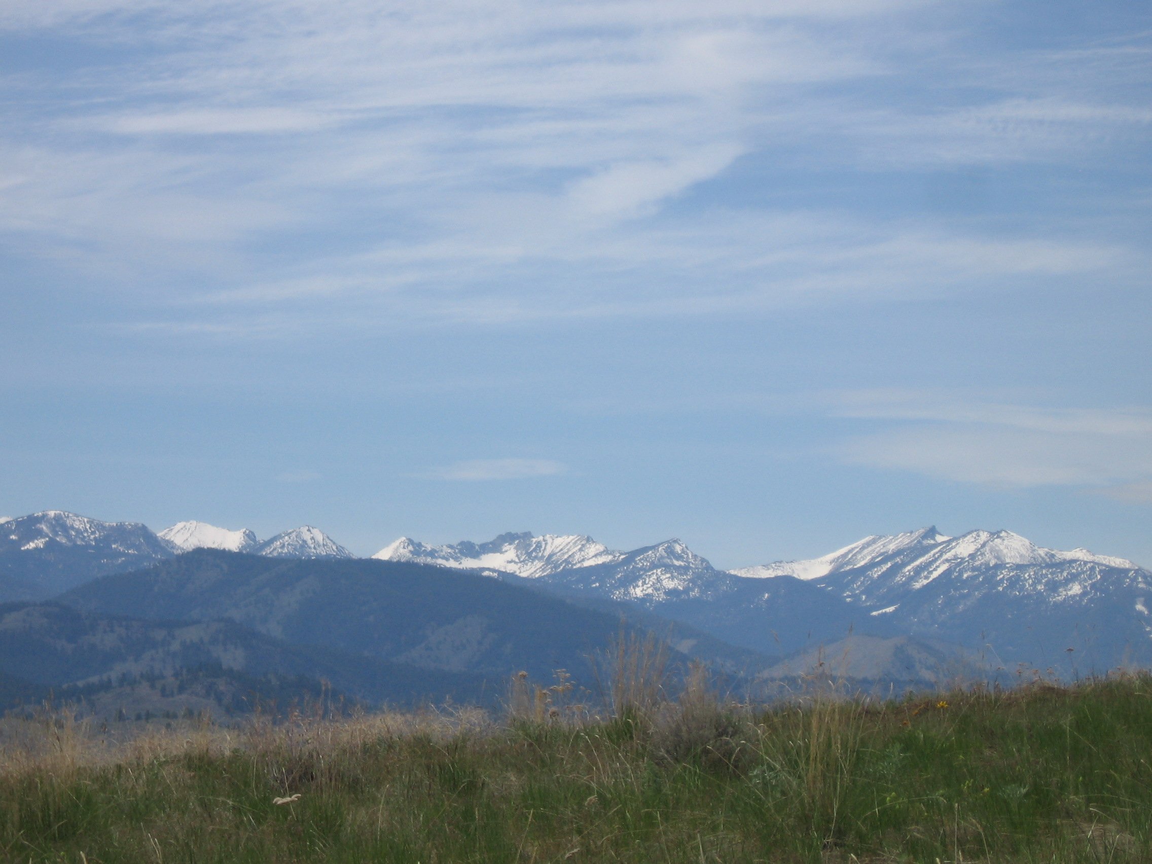
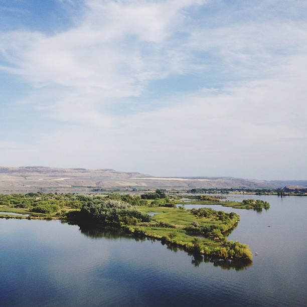
View of the Valley
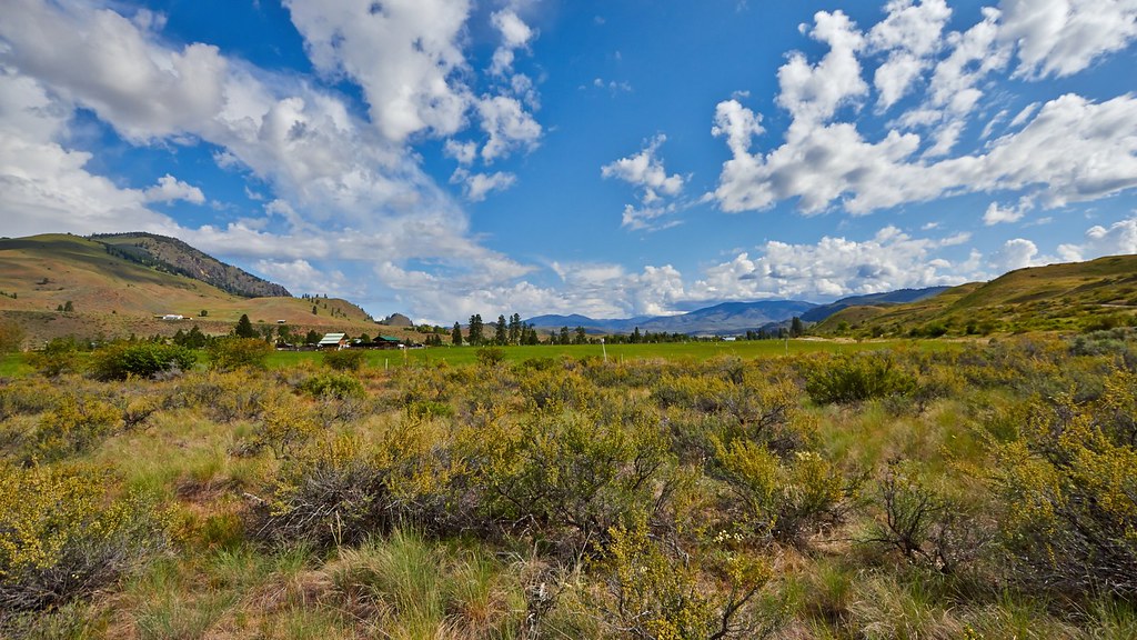
Scenic View
PIX-IMG_5344HDTV-Test-g
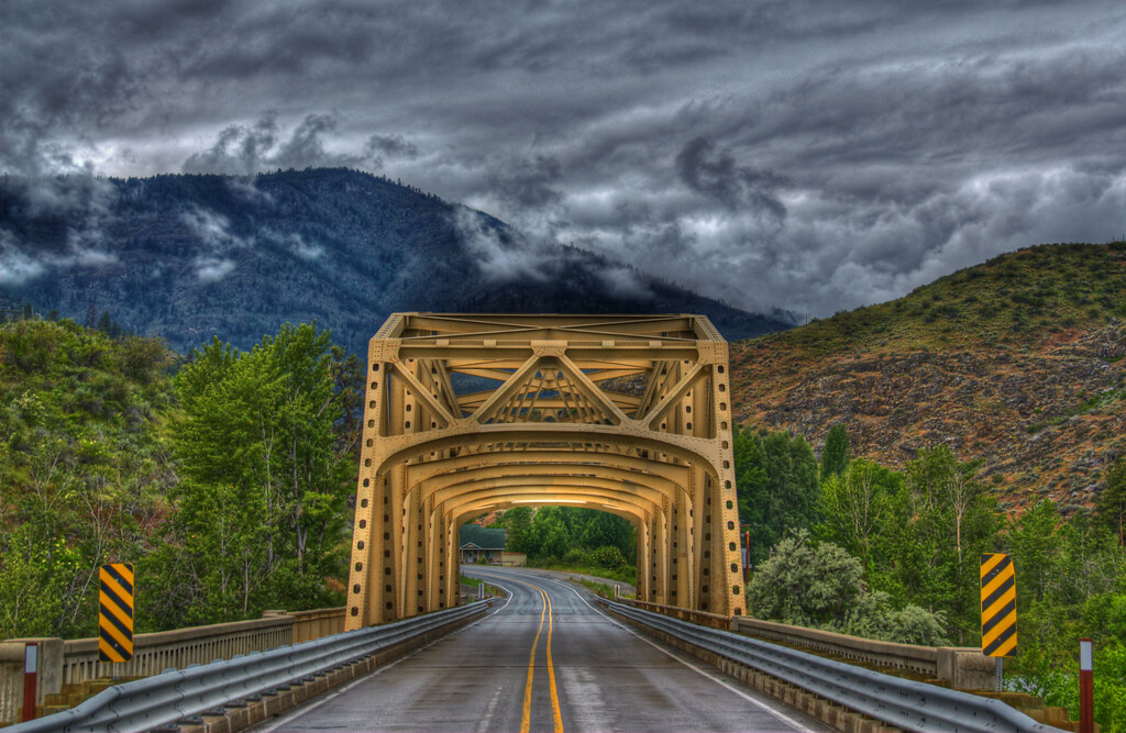
Methow River Bridge
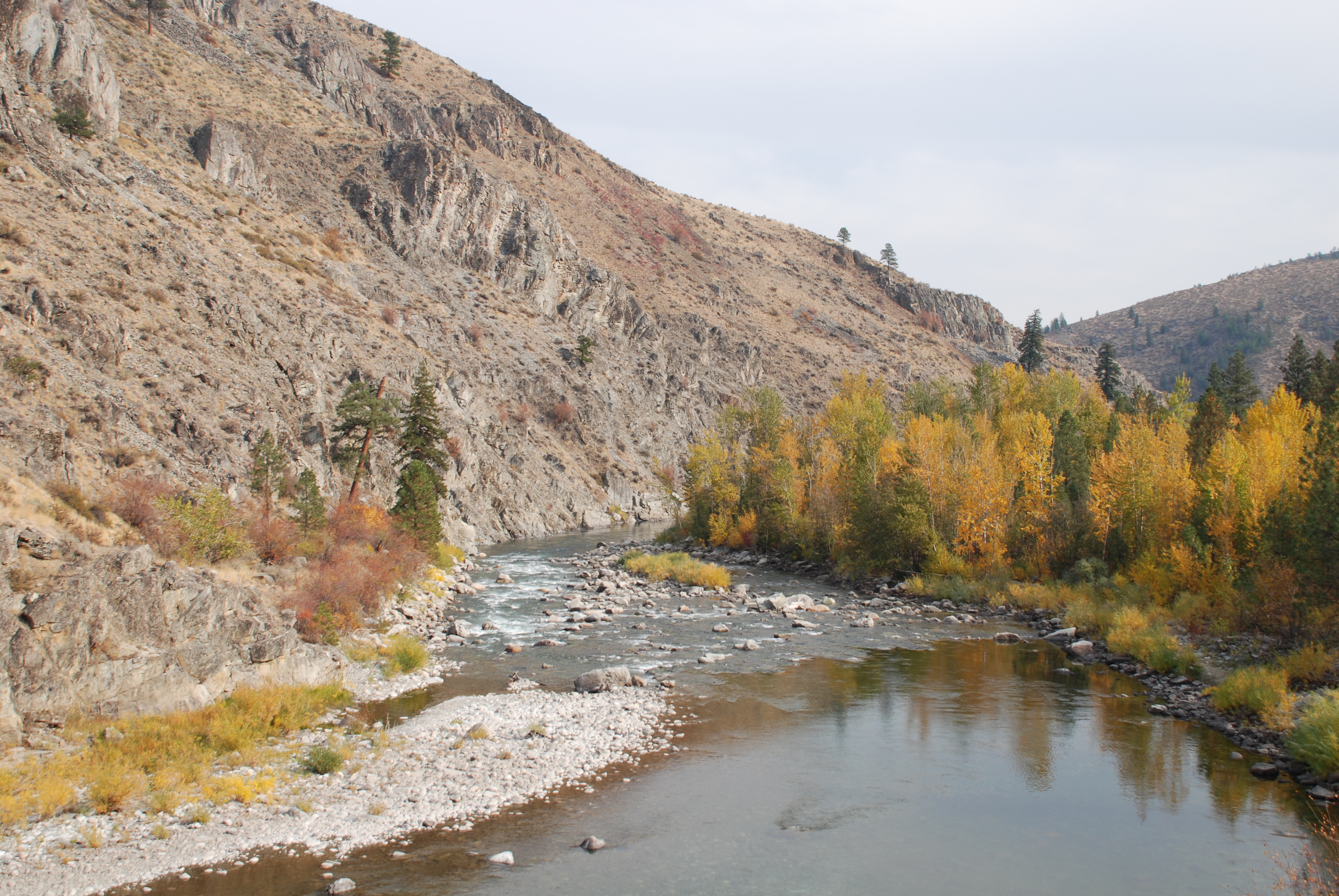
Methow River
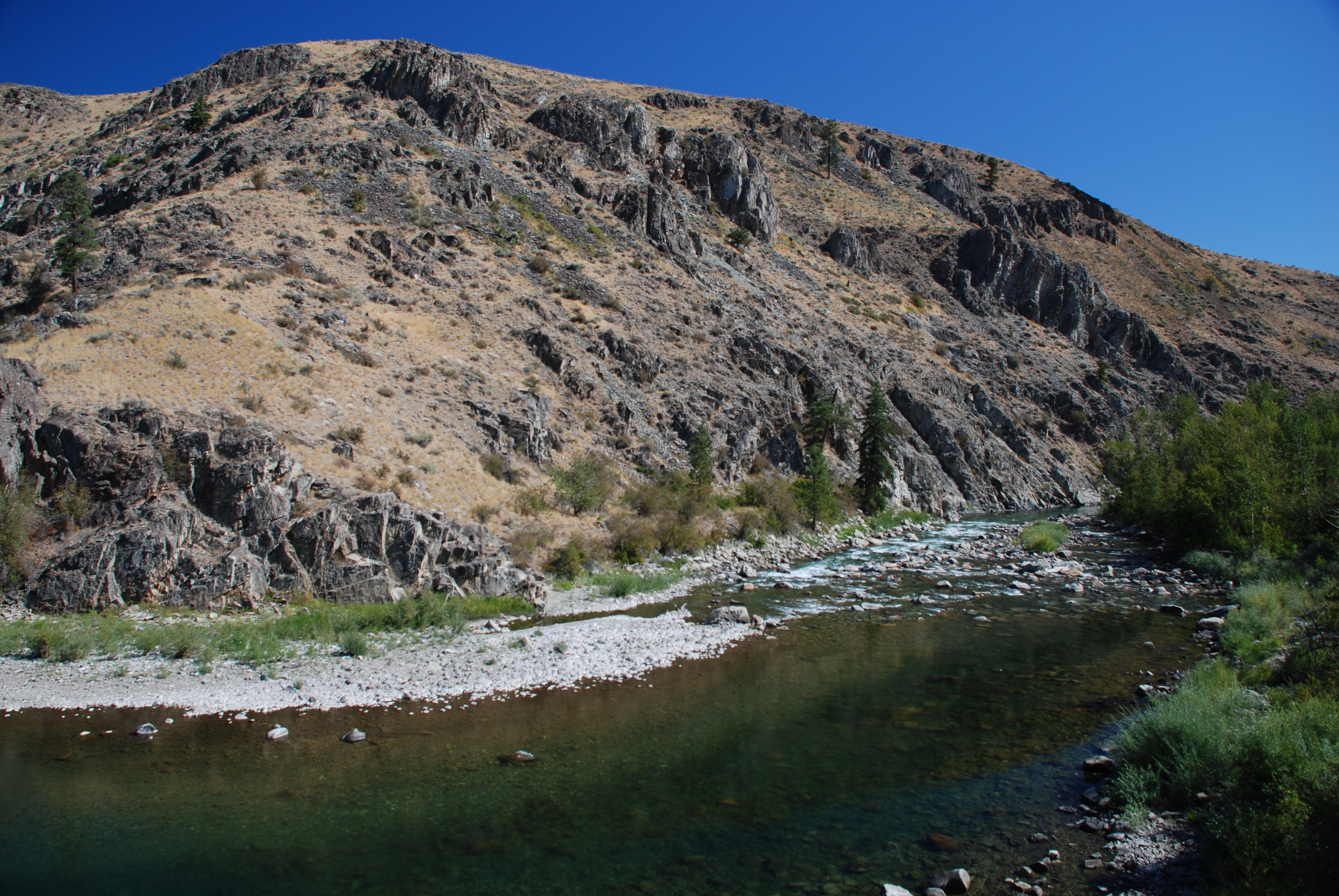
Methow River

Bridge 184-1
IMG_0314.JPG

Alone in the Field

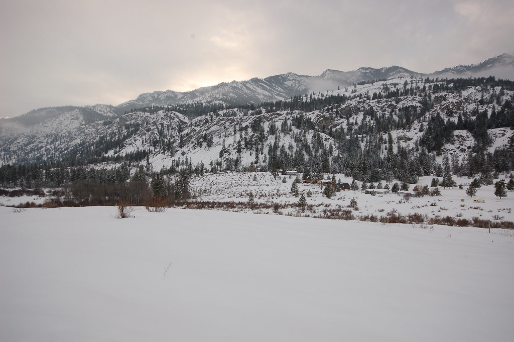
Frigid Landscape
Alta Lake Winter Trip
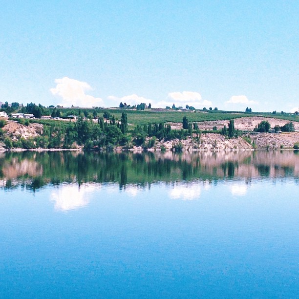
Nature's Mirror #northwest

Alta Lake Winter Trip
Brewster, WA

Sledding county
Topographic Map of Pateros, WA, USA
Find elevation by address:

Places in Pateros, WA, USA:
Places near Pateros, WA, USA:
Alta Lake State Park
11 Kamsak Rd
5 Kamsak Rd
1 Kamsak Rd
1 Kamsak Rd
14 Kamsak Rd
17 Kamsak Rd
Kamsak Road
25 Kamsak Rd
Methow
Napa Auto Parts - Hamilton Farm Equipment Center
Griggs Ave E, Brewster, WA, USA
Brewster
French Creek Road
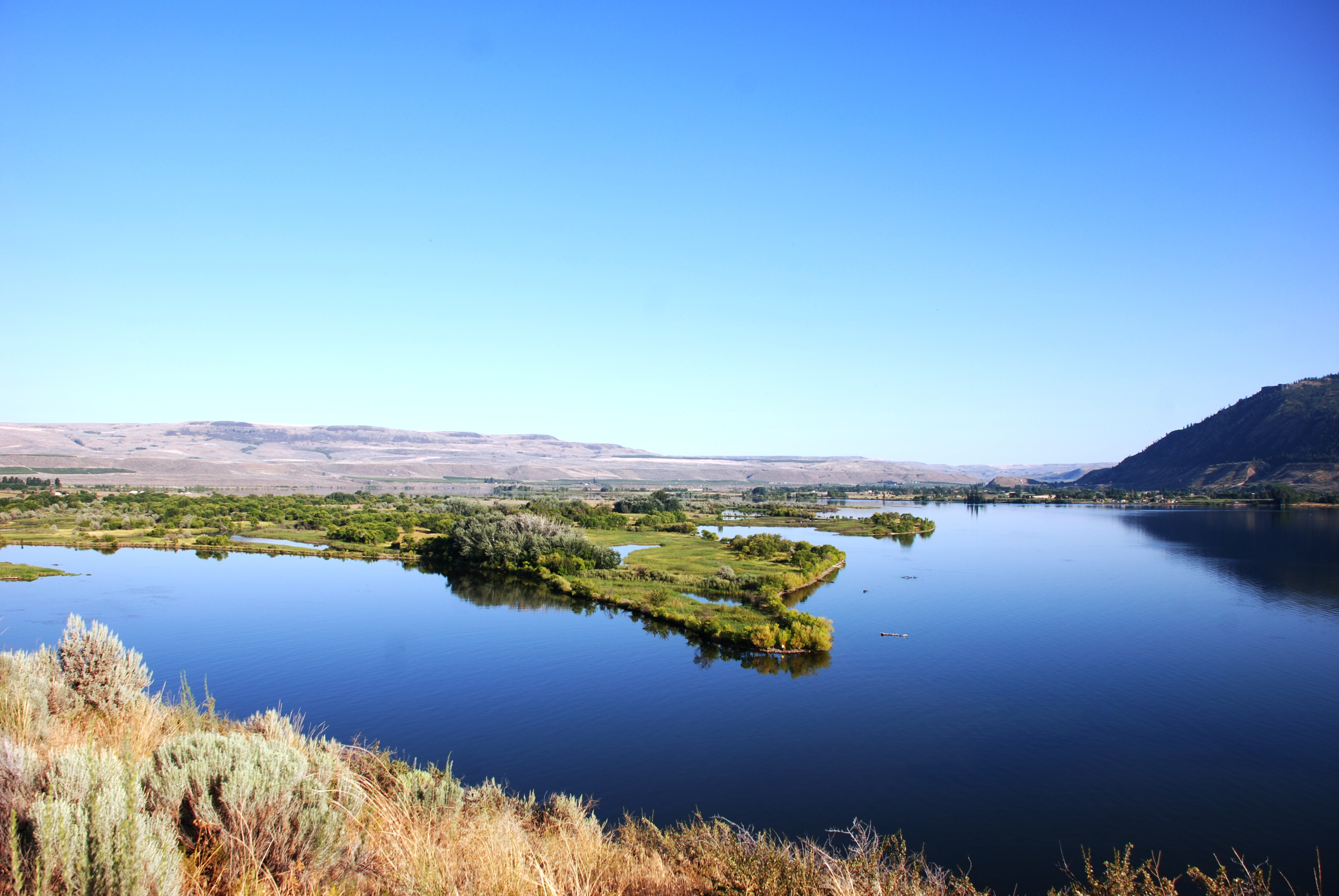
Lake Pateros
696 Texas Creek Rd
54 Sanctuary Ln
630 Texas Creek Rd
Cooper Mountain Road
Arden Ave, Brewster, WA, USA
Recent Searches:
- Elevation of Corso Fratelli Cairoli, 35, Macerata MC, Italy
- Elevation of Tallevast Rd, Sarasota, FL, USA
- Elevation of 4th St E, Sonoma, CA, USA
- Elevation of Black Hollow Rd, Pennsdale, PA, USA
- Elevation of Oakland Ave, Williamsport, PA, USA
- Elevation of Pedrógão Grande, Portugal
- Elevation of Klee Dr, Martinsburg, WV, USA
- Elevation of Via Roma, Pieranica CR, Italy
- Elevation of Tavkvetili Mountain, Georgia
- Elevation of Hartfords Bluff Cir, Mt Pleasant, SC, USA