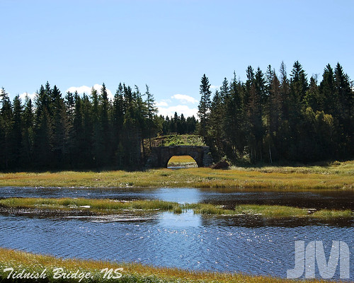
Elevation of 15 Monash Cove Ln, Upper Cape, NB E4M 2R8, Canada
Location: Canada > New Brunswick > Westmorland County > Botsford > Upper Cape >
Longitude: -64.023158
Latitude: 46.0581377
Elevation: 10m / 33feet
Barometric Pressure: 101KPa
Related Photos:
Topographic Map of 15 Monash Cove Ln, Upper Cape, NB E4M 2R8, Canada
Find elevation by address:

Places near 15 Monash Cove Ln, Upper Cape, NB E4M 2R8, Canada:
20 Bob Trenholm Rd, Timber River, NB E4M 2K2, Canada
1884 Nb-960
Timber River
37 Tidnish Head Branch, Amherst, NS B4H 3X9, Canada
187 Jackson's Point Rd
6 Station St
66 Spruce Dr, Amherst, NS B4H 3X9, Canada
58 Jackson's Point Rd
710 Tidnish Head Rd
Port Elgin
Botsford
Main Street
815 Nb-970
2316 Nb-16
Baie Verte
Upper Cape
Main St, Westmorland, NB E4M, Canada
51 Cape Dr, Upper Cape, NB E4M 0C3, Canada
18 Greeno Ln, Amherst, NS B4H 3X9, Canada
1801 Nb-16
Recent Searches:
- Elevation of Corso Fratelli Cairoli, 35, Macerata MC, Italy
- Elevation of Tallevast Rd, Sarasota, FL, USA
- Elevation of 4th St E, Sonoma, CA, USA
- Elevation of Black Hollow Rd, Pennsdale, PA, USA
- Elevation of Oakland Ave, Williamsport, PA, USA
- Elevation of Pedrógão Grande, Portugal
- Elevation of Klee Dr, Martinsburg, WV, USA
- Elevation of Via Roma, Pieranica CR, Italy
- Elevation of Tavkvetili Mountain, Georgia
- Elevation of Hartfords Bluff Cir, Mt Pleasant, SC, USA
