Elevation of 13 White Hill Rd, Washington, VT, USA
Location: United States > Vermont > Orange County > Washington >
Longitude: -72.413037
Latitude: 44.0281456
Elevation: 421m / 1381feet
Barometric Pressure: 96KPa
Elevation Map:
Satellite Map:
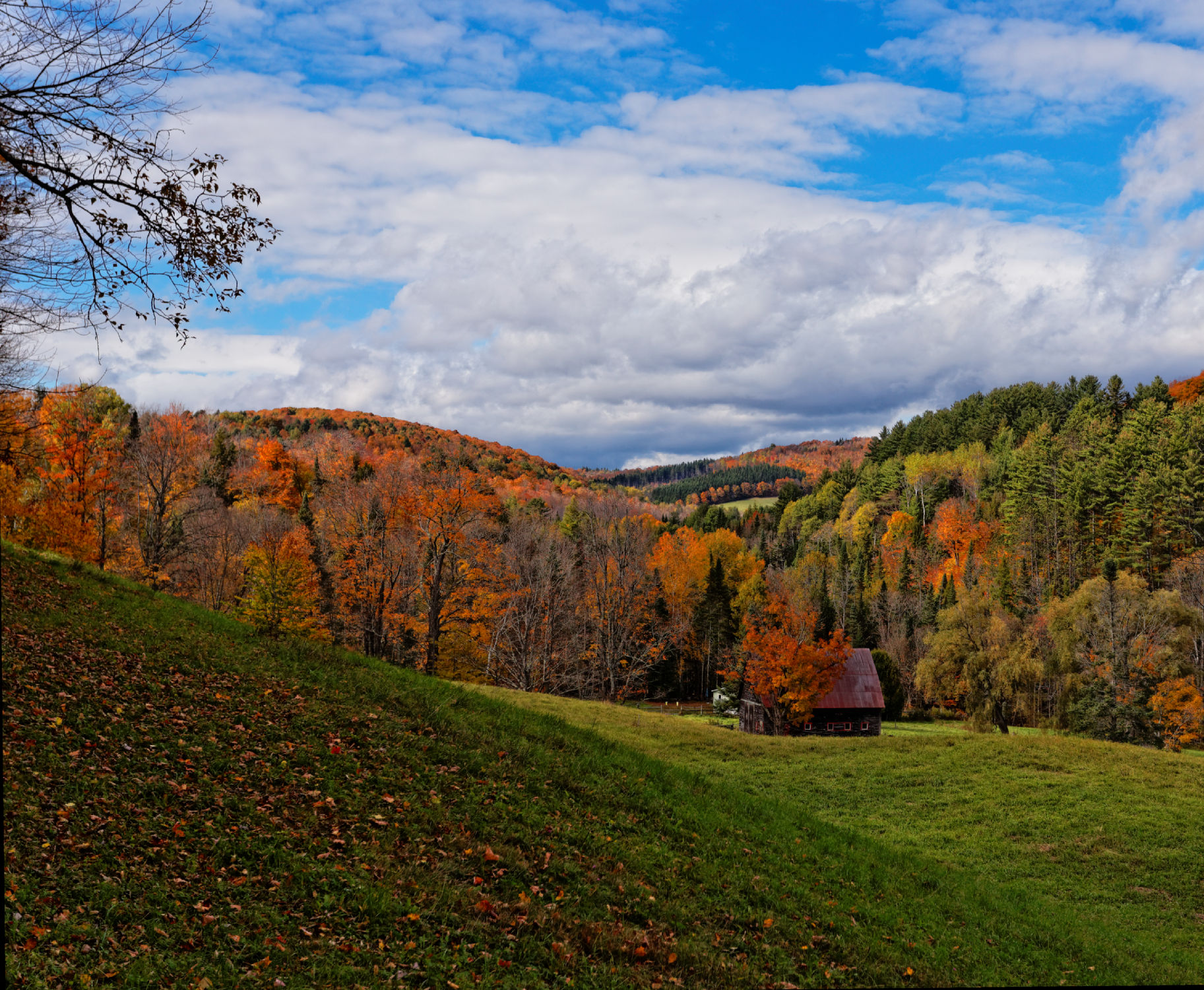
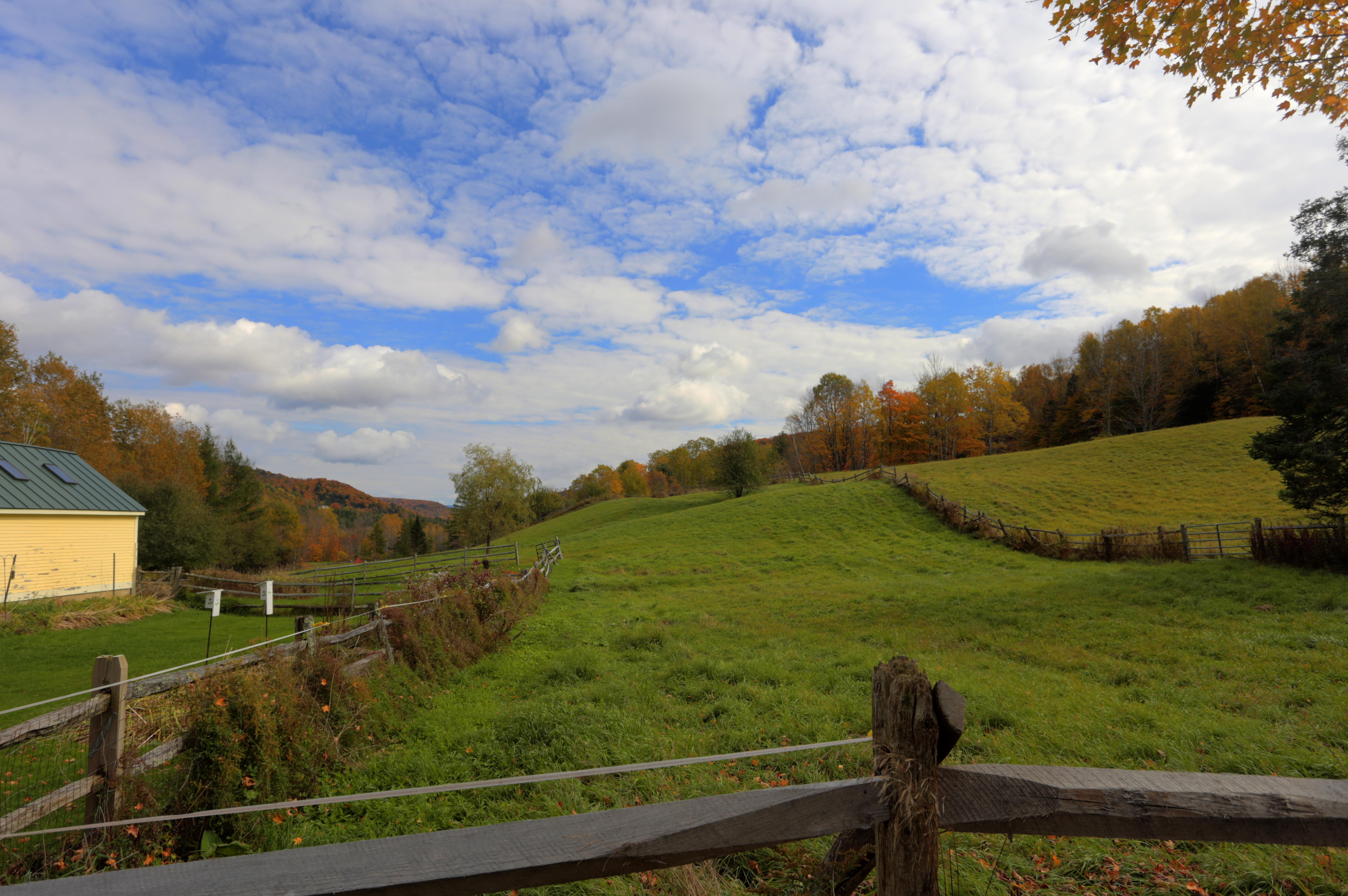
Related Photos:
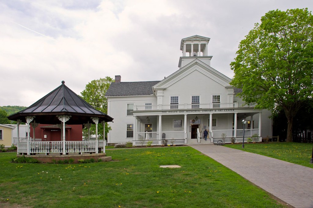
Stowe Free Library
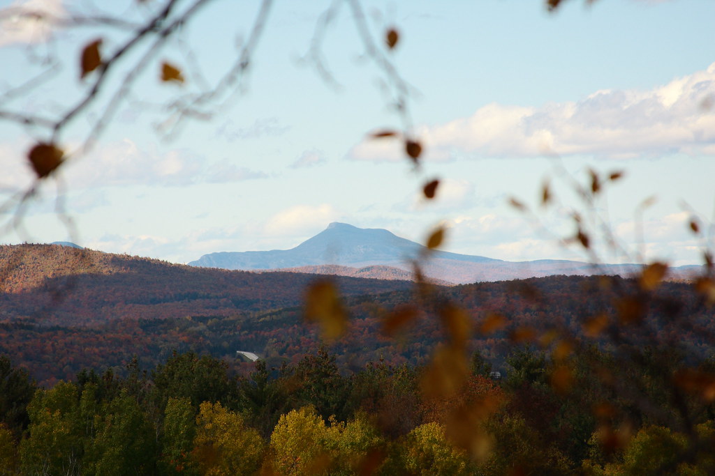
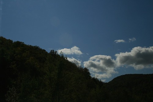
View of Camel's Hump
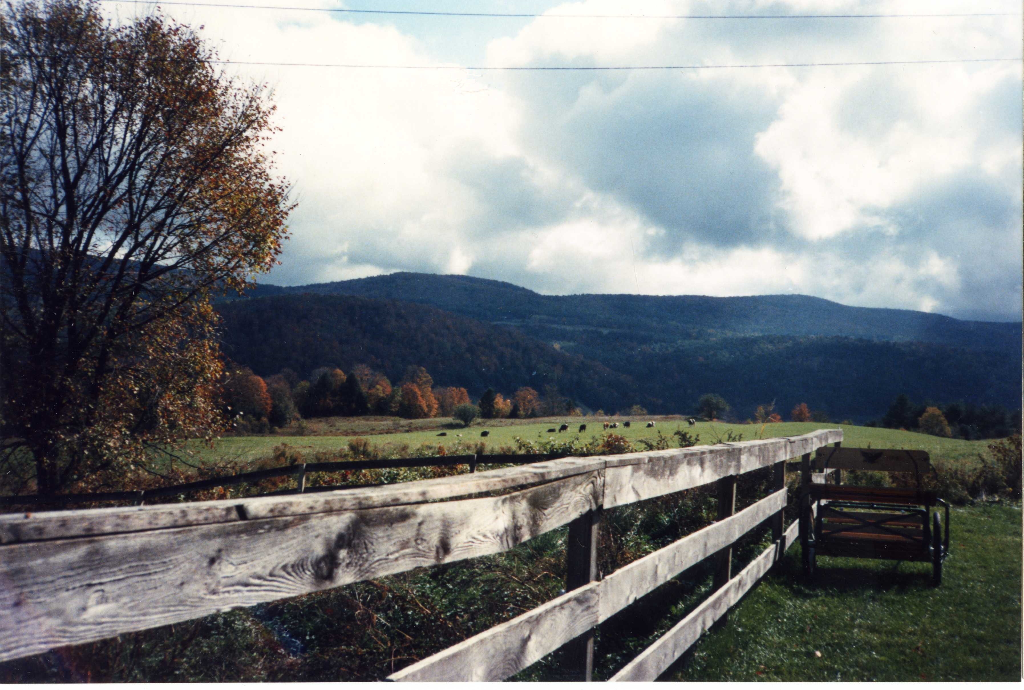
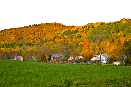
Blue Goose Farm View
The view from Jack's dorm towards main campus
mountain school panorama

Another view
Vermont Reflection
A little overgrown, but still a nice view!

On a calmer day
E.L. Smith Quarry - Barre, Vermont
Vermont, Oct 2014

red barn from the floating bridge
Vermont, Oct 2014

IMGP2816 2009 sept b
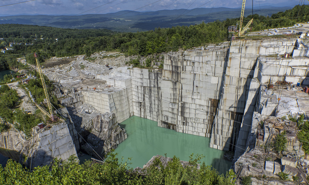
E.L. Smith Quarry - Barre, Vermont
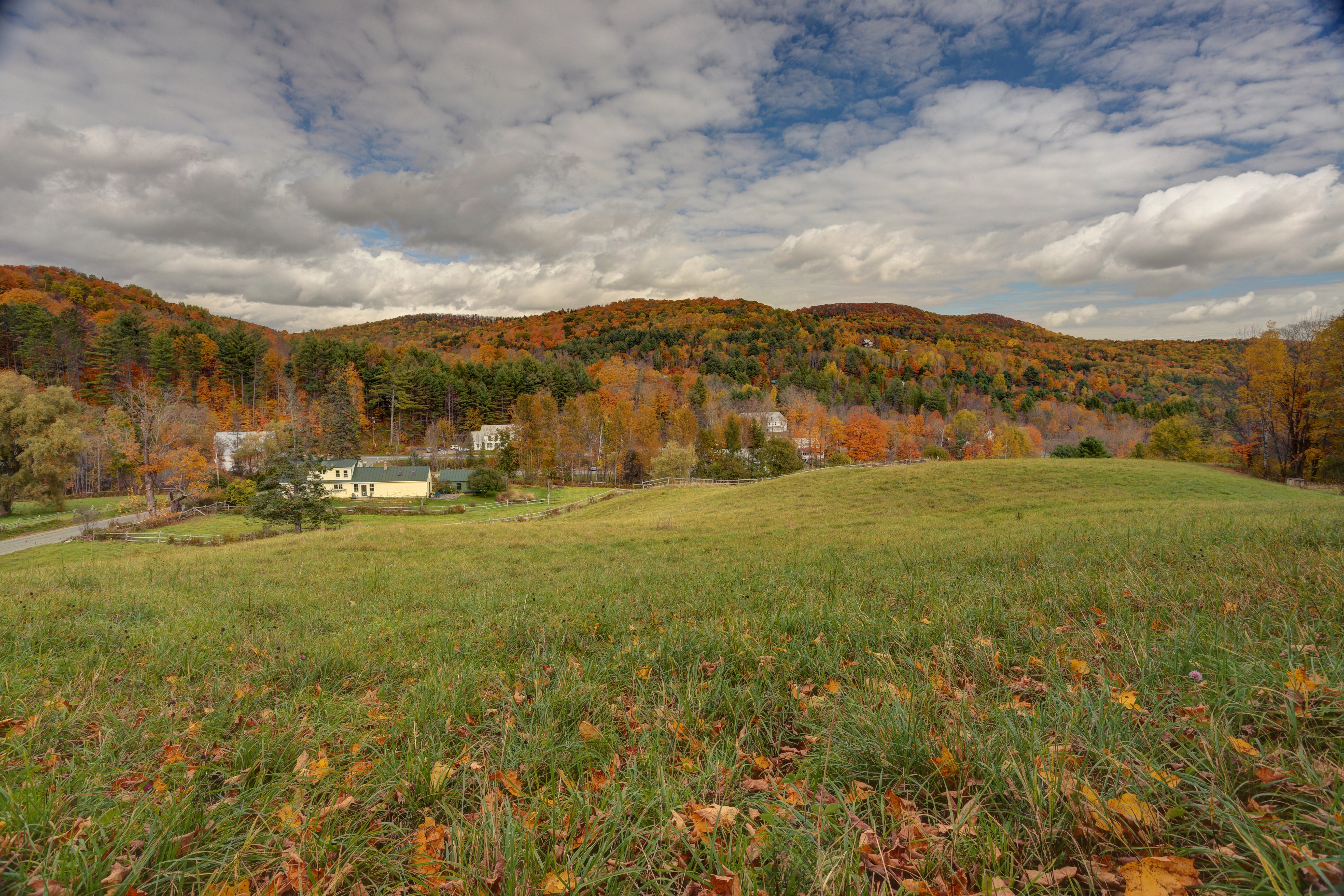
Vermont in the Fall
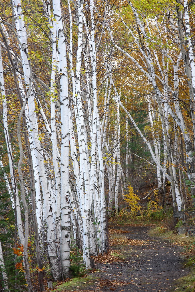
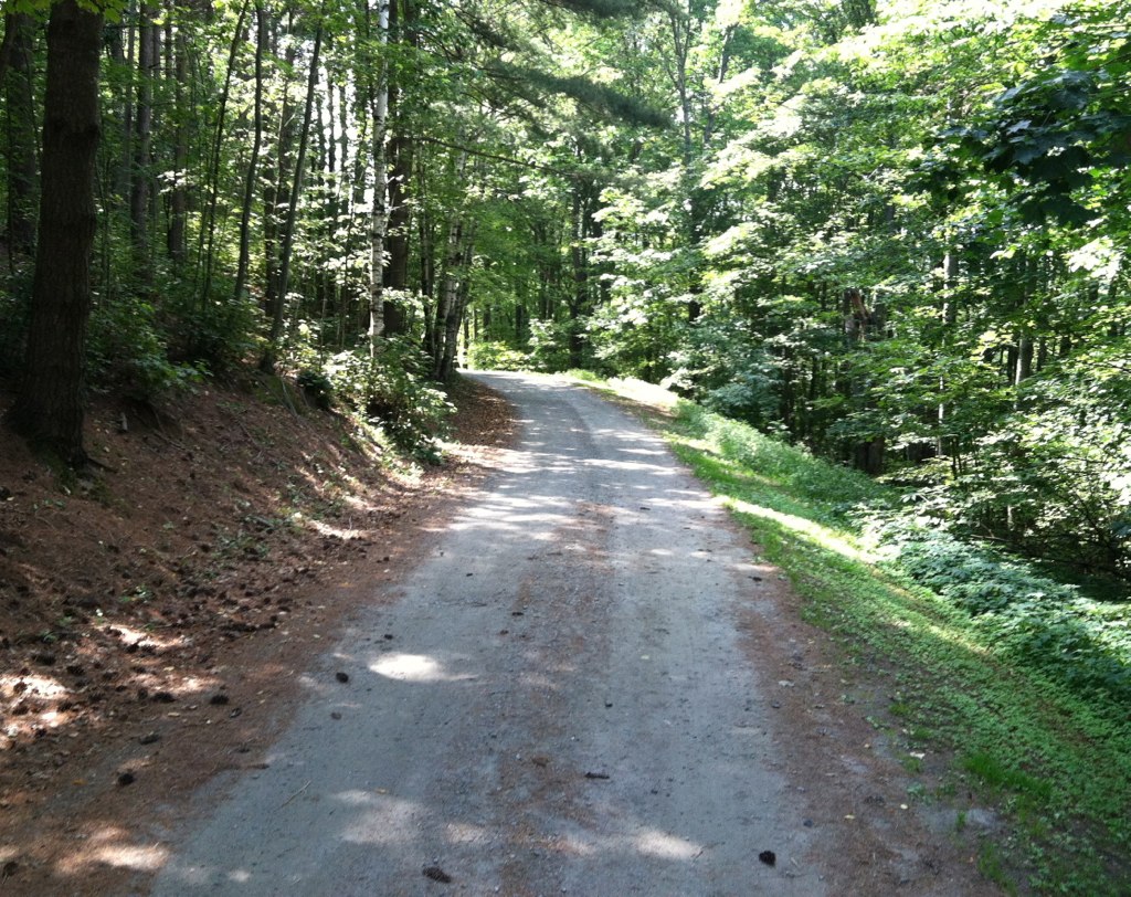
Birch Path
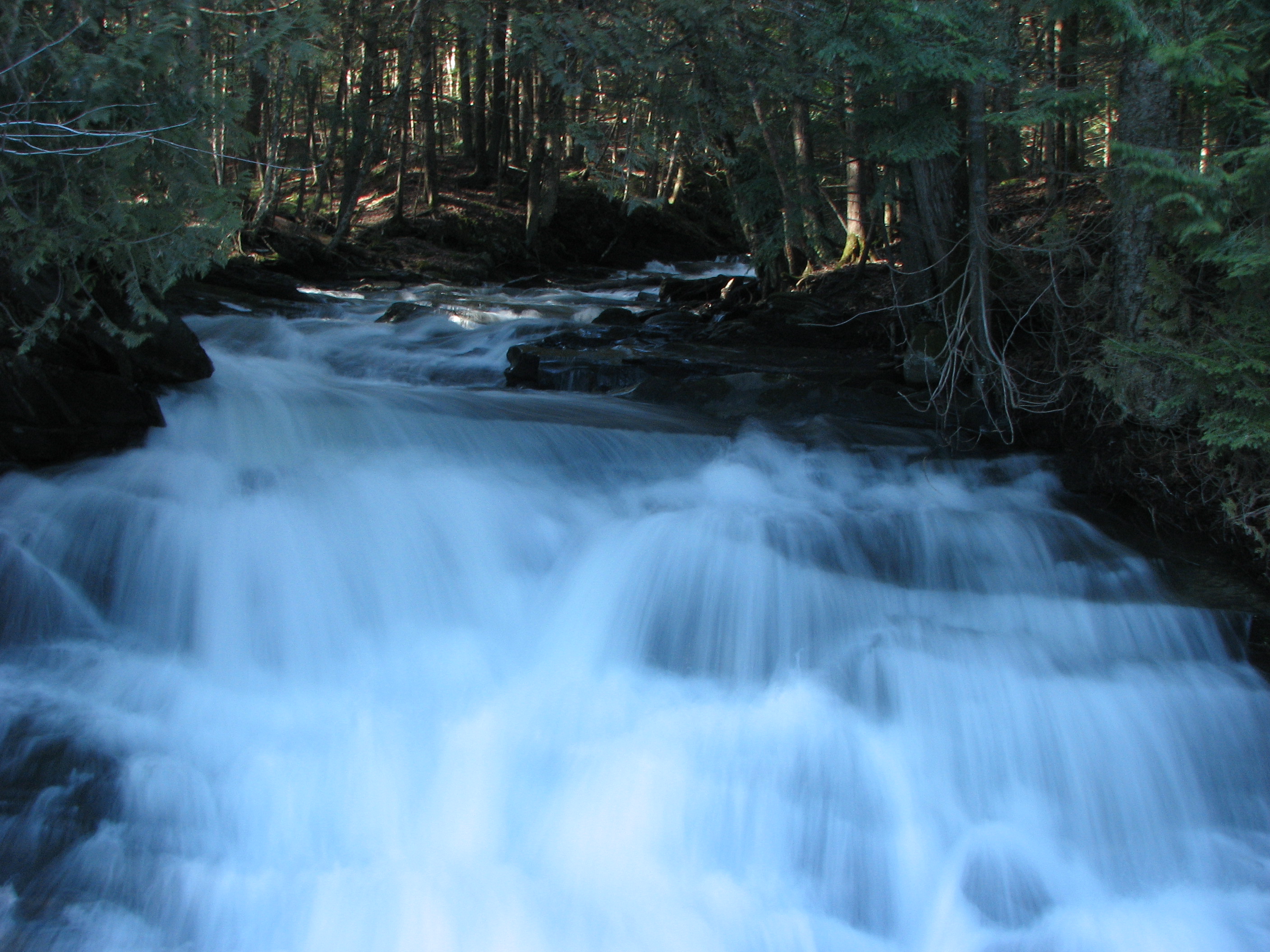
Falls Bridge 1

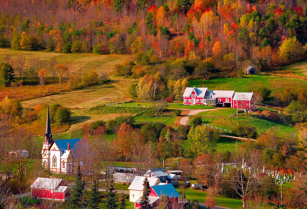
East Corinth, Vermont
IMG_4752.jpg
North Randolph

Southern End of Sunset Lake
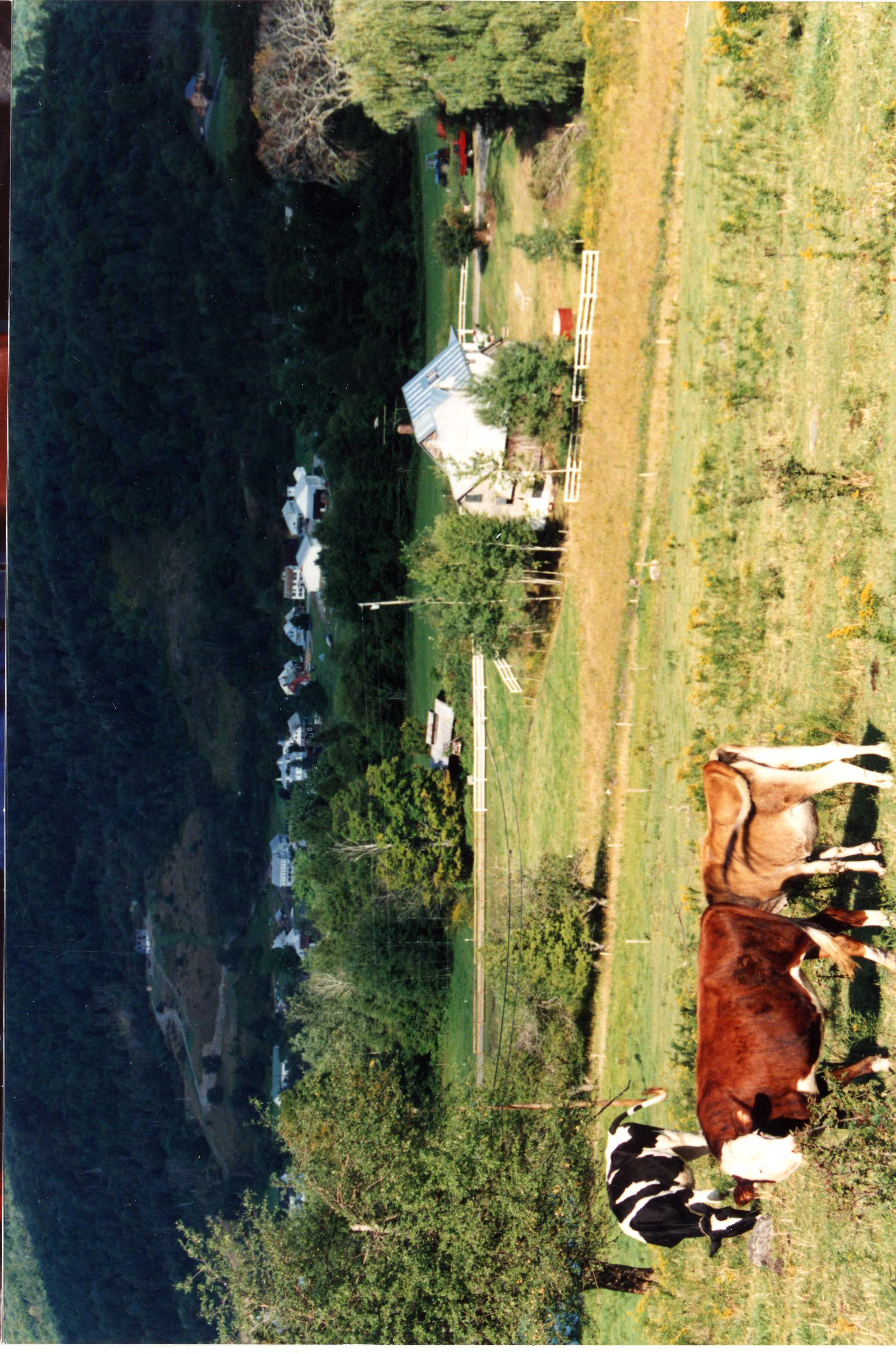
Blue Goose Farm
East Orange
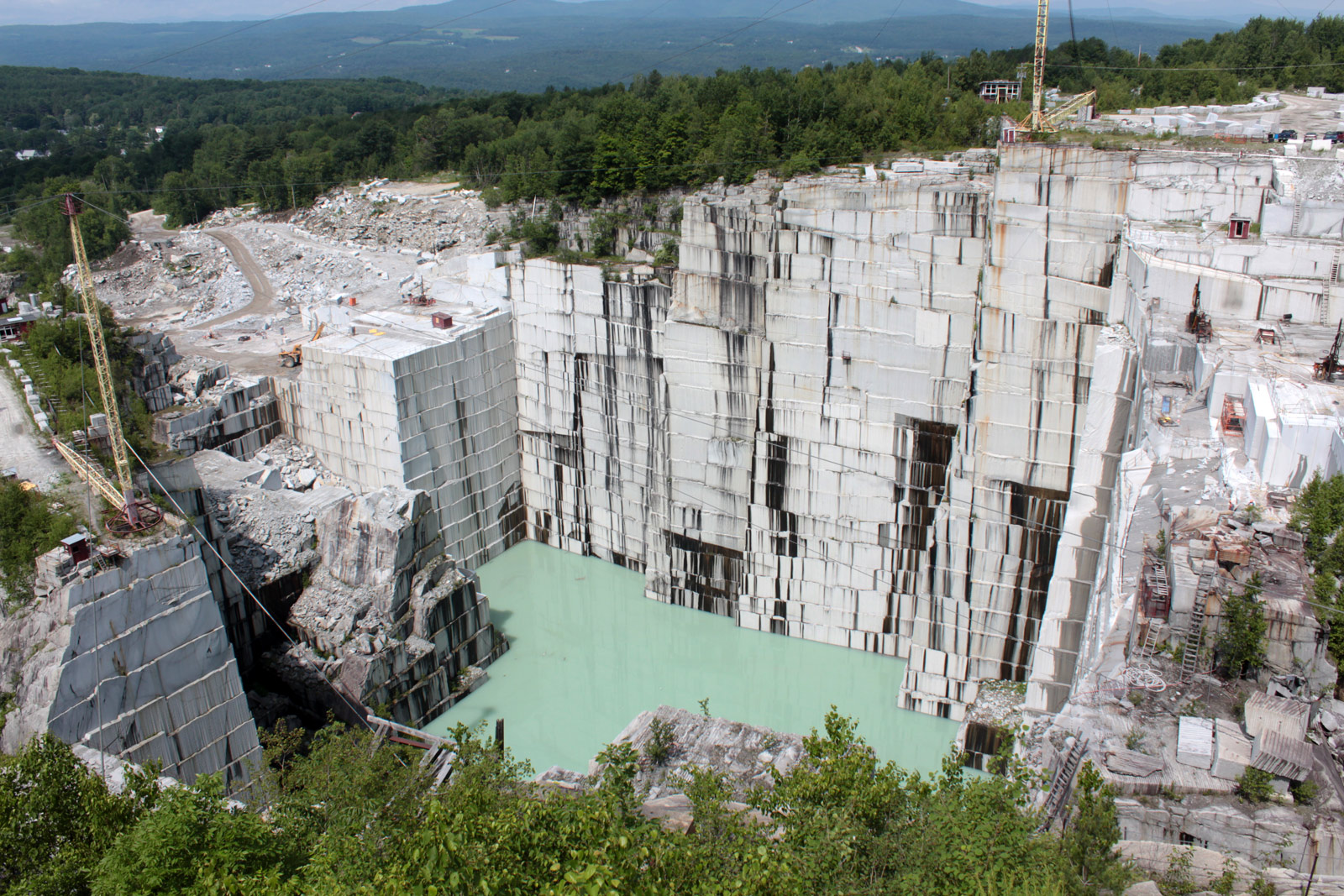
E. L. Smith Granite Quarry
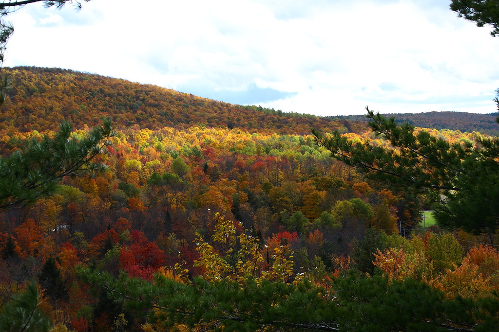
Foliage Punch
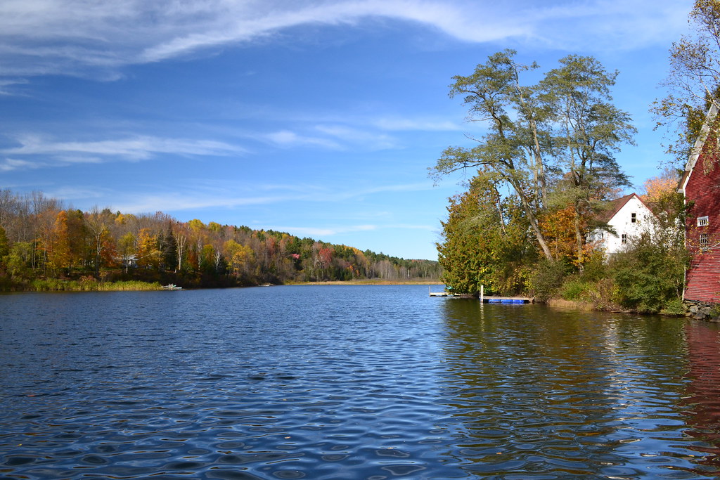
Sunset Lake
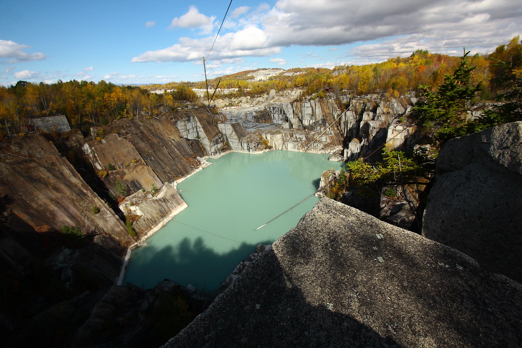
Autumn Quarry
Topographic Map of 13 White Hill Rd, Washington, VT, USA
Find elevation by address:

Places near 13 White Hill Rd, Washington, VT, USA:
Orange County
383 Ryder Rd
203 Backway Rd
4871 Chelsea Rd
Cookeville Rd, Corinth, VT, USA
515 Tucker Pl
673 Reed Rd
Vershire
E Orange Rd, Orange, VT, USA
1985 Vershire Center Rd
2340 Richardson Rd
3306 Copper Mine Rd
261 Vt-25
VT-, Vershire, VT, USA
VT-25, West Topsham, VT, USA
Corinth
West Topsham
474 Vt-25
1547 Chelsea Rd
1078 Pike Hill Rd
Recent Searches:
- Elevation of Corso Fratelli Cairoli, 35, Macerata MC, Italy
- Elevation of Tallevast Rd, Sarasota, FL, USA
- Elevation of 4th St E, Sonoma, CA, USA
- Elevation of Black Hollow Rd, Pennsdale, PA, USA
- Elevation of Oakland Ave, Williamsport, PA, USA
- Elevation of Pedrógão Grande, Portugal
- Elevation of Klee Dr, Martinsburg, WV, USA
- Elevation of Via Roma, Pieranica CR, Italy
- Elevation of Tavkvetili Mountain, Georgia
- Elevation of Hartfords Bluff Cir, Mt Pleasant, SC, USA