Elevation of Zagia's Apothecary Farm, 99 Co Rd 4, Howard, CO, USA
Location: United States > Colorado > Fremont County > Howard >
Longitude: -105.83593
Latitude: 38.4487742
Elevation: 2044m / 6706feet
Barometric Pressure: 79KPa
Elevation Map:
Satellite Map:
Related Photos:
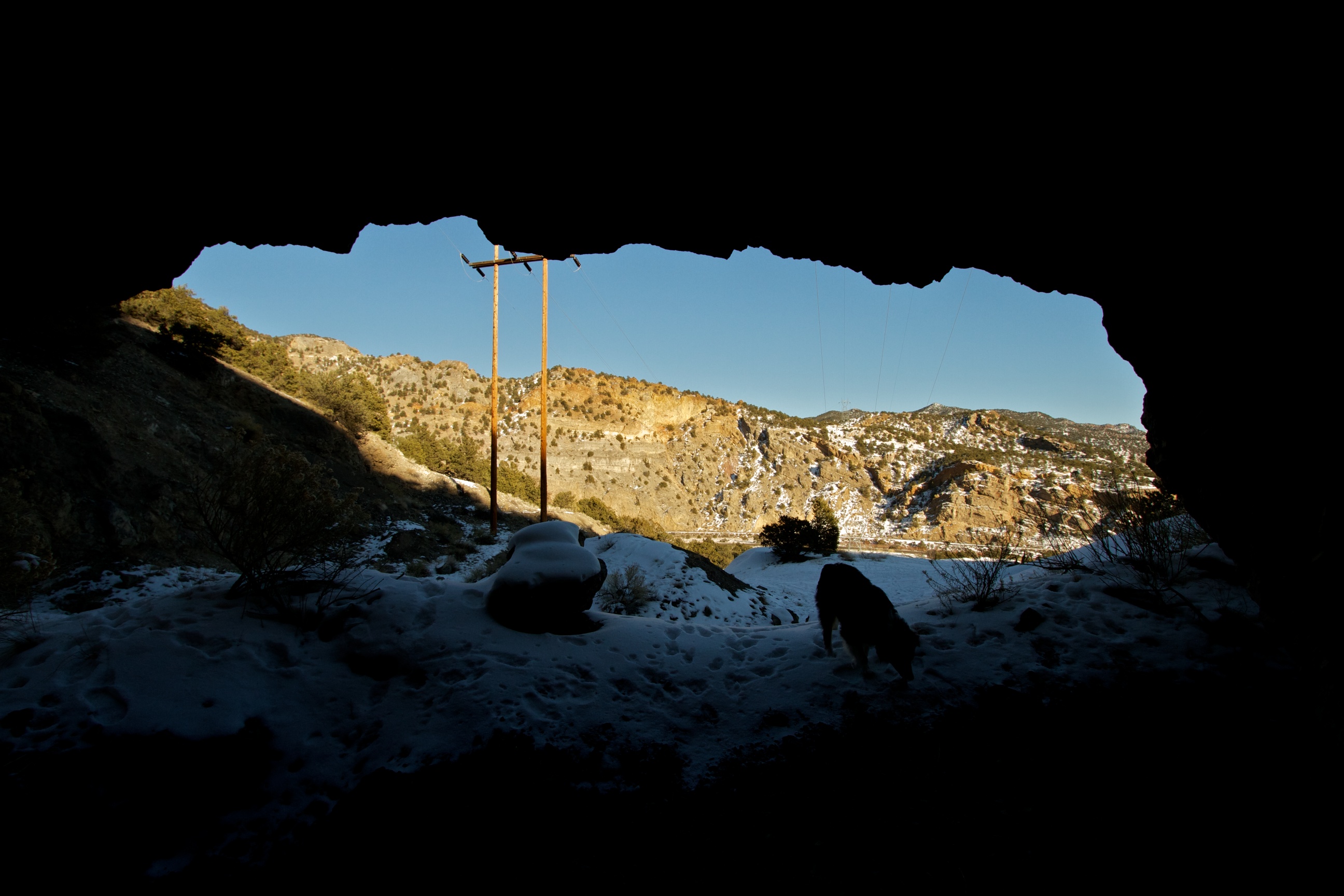
View from the Mine
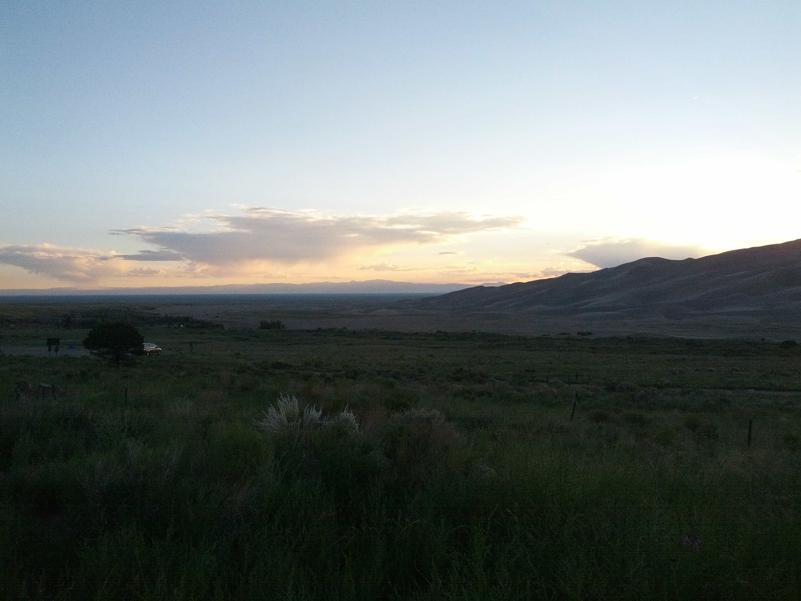
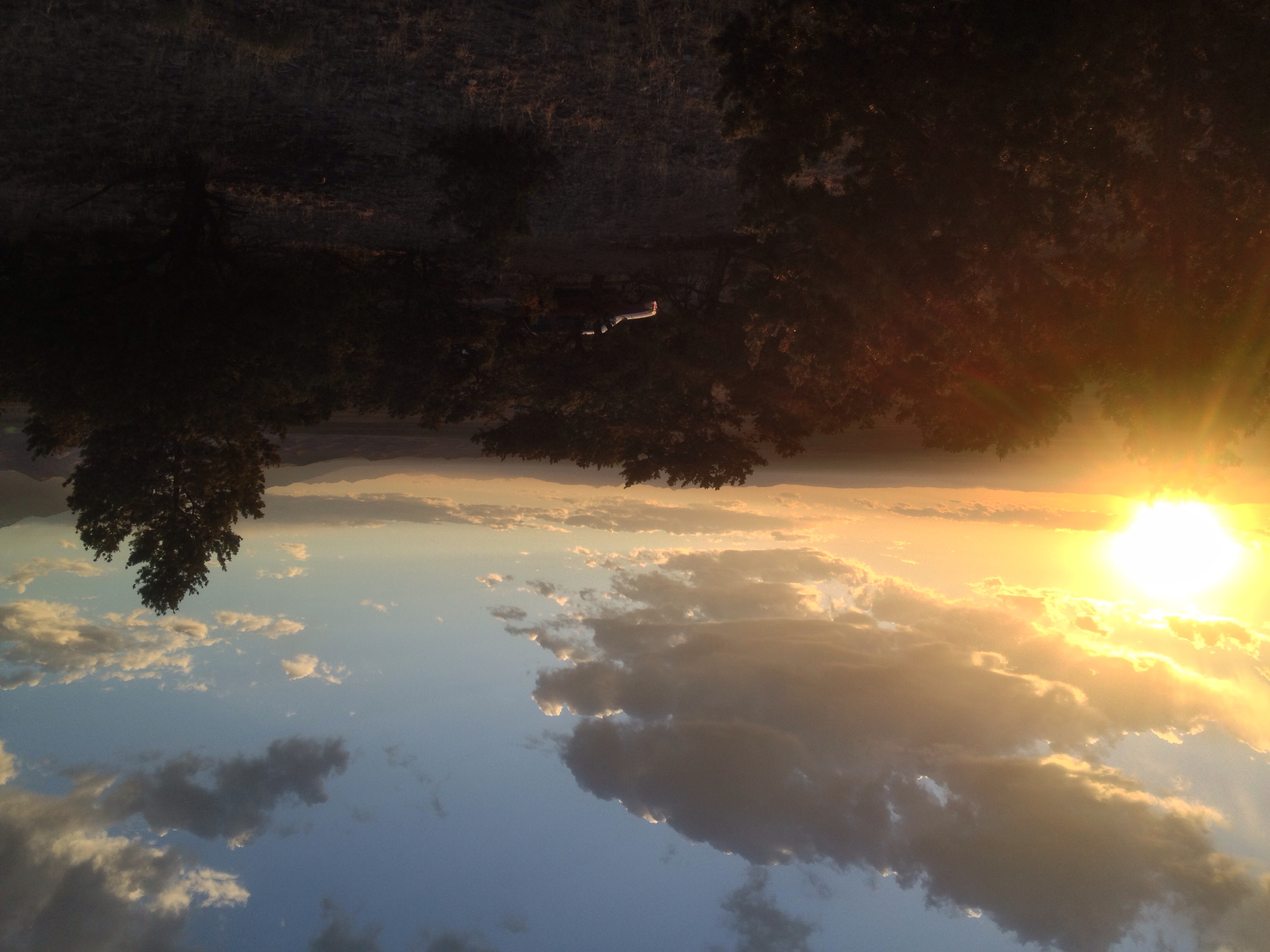
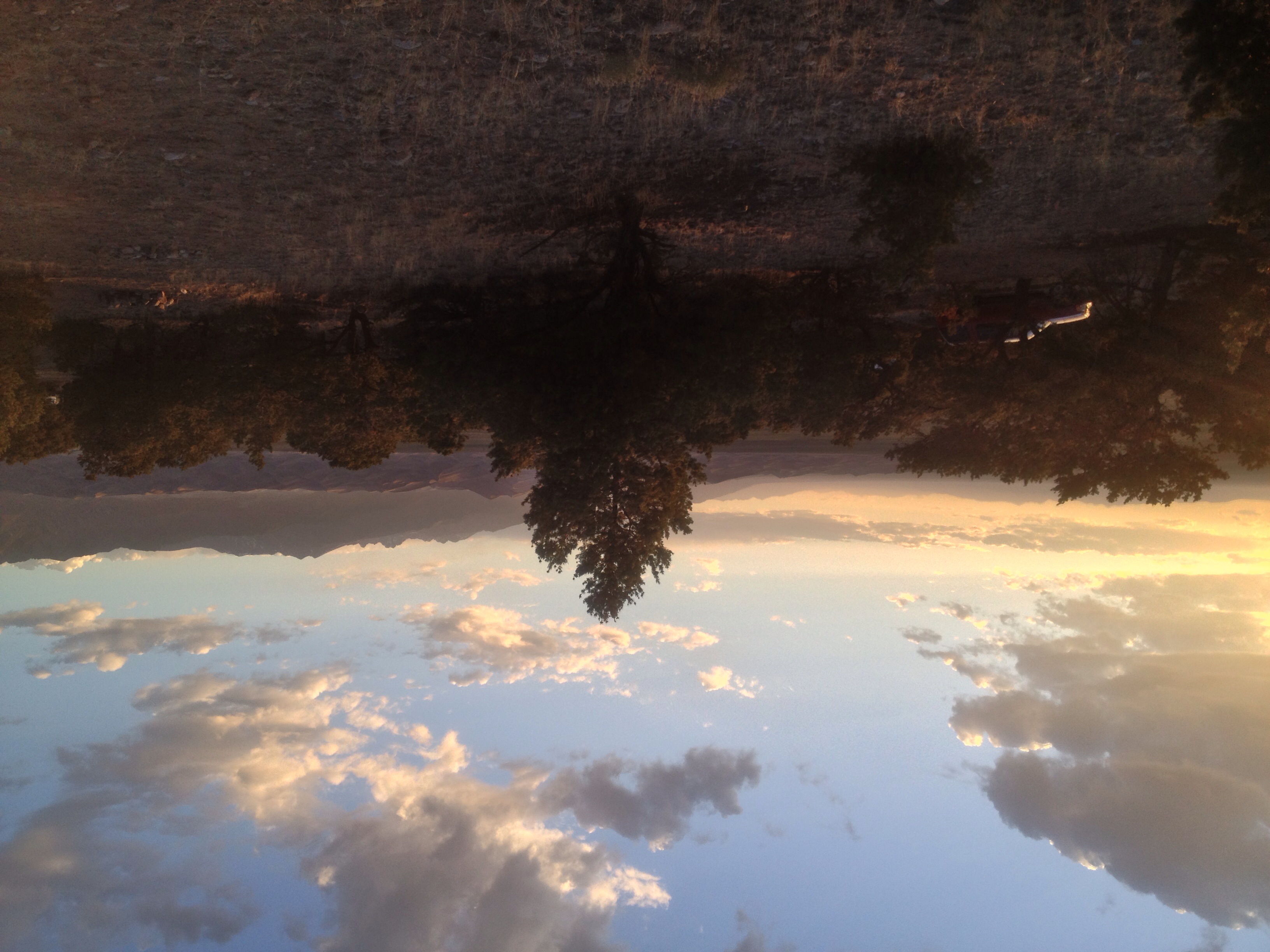
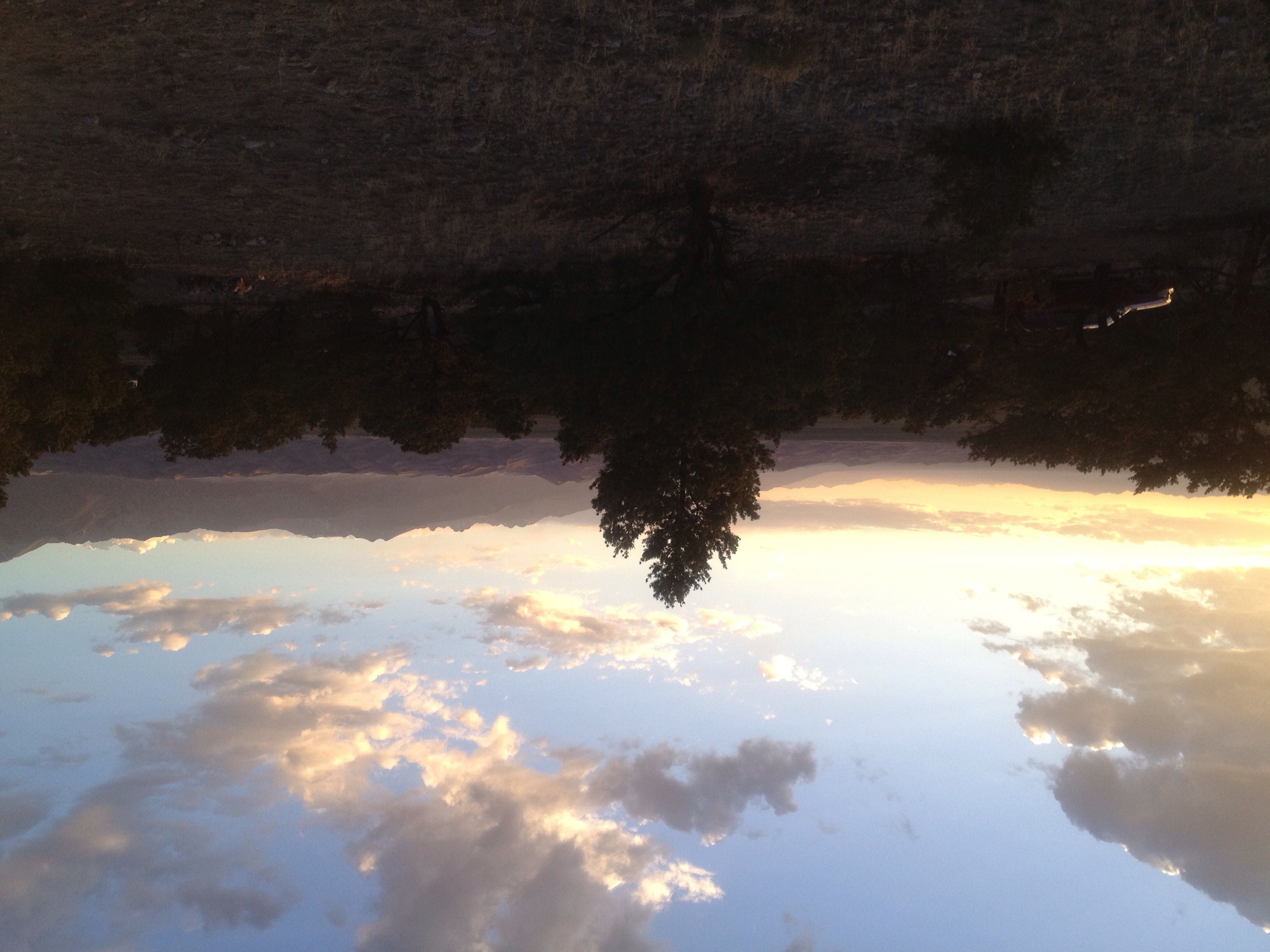
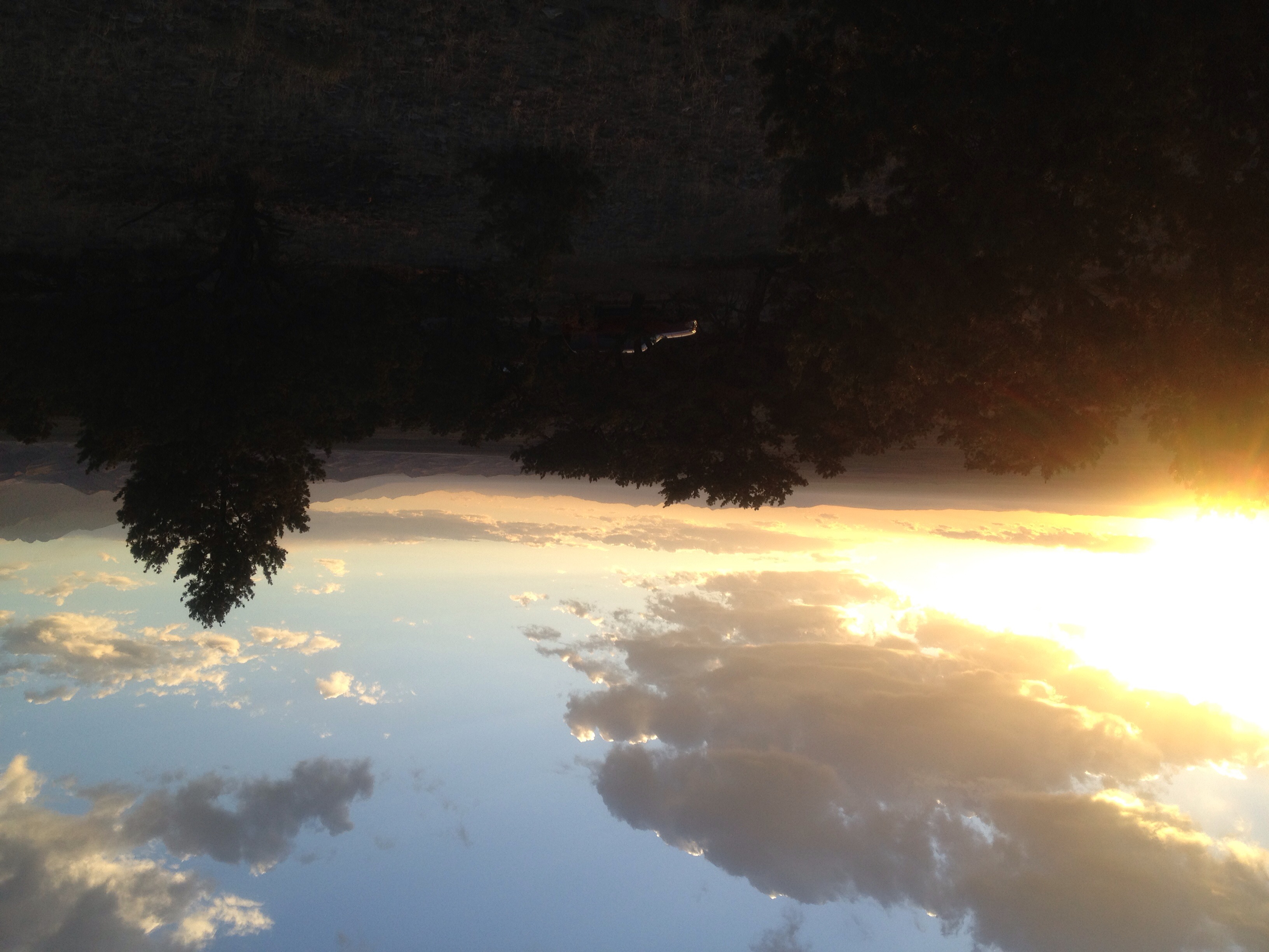
Evening View from Our Campsite
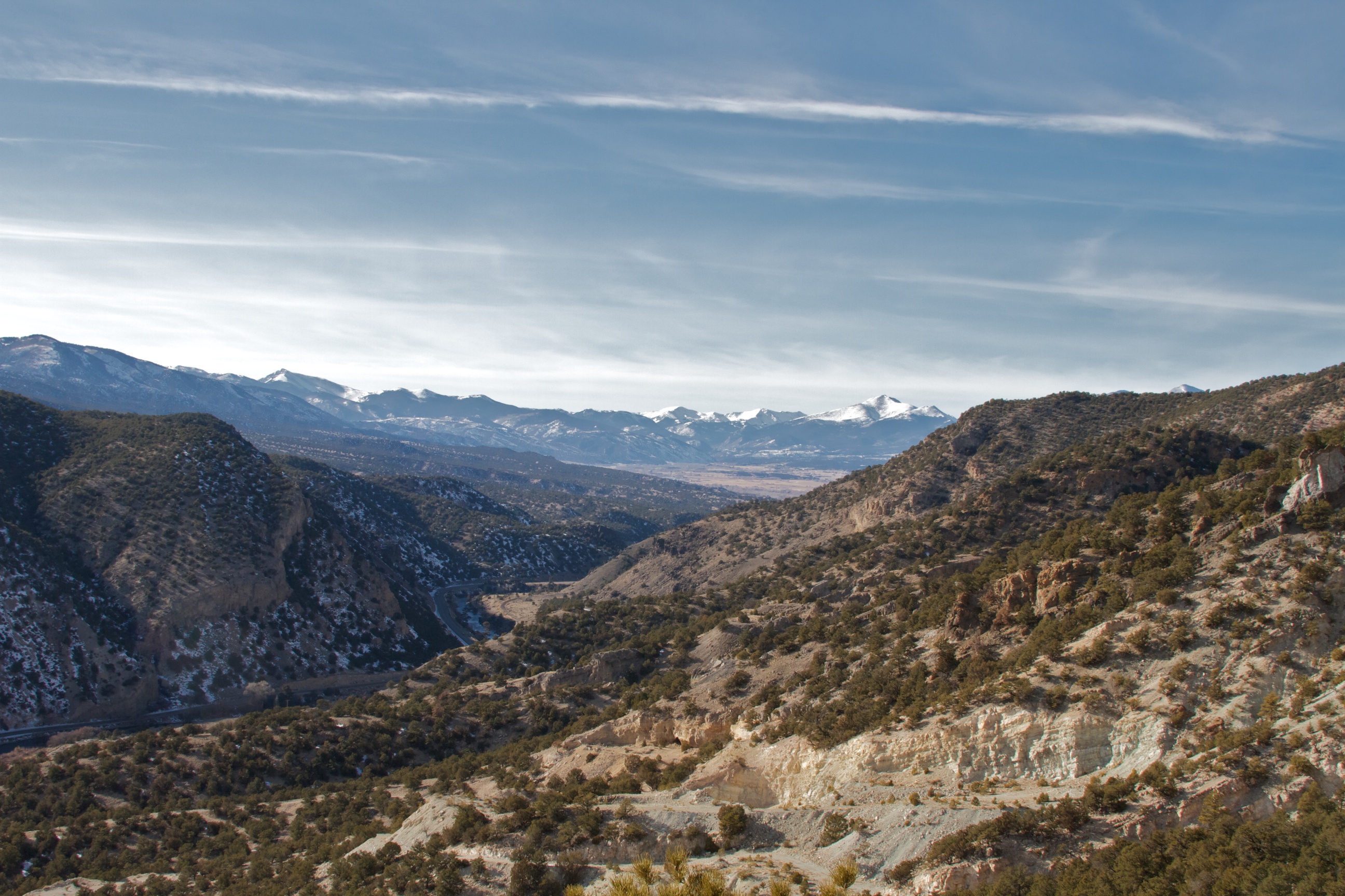
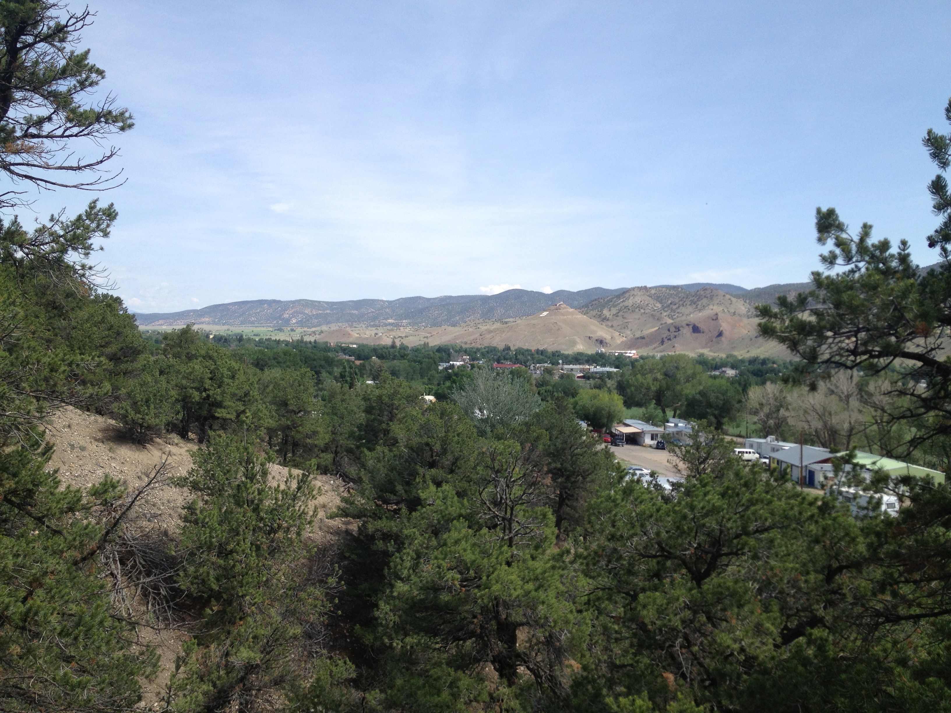
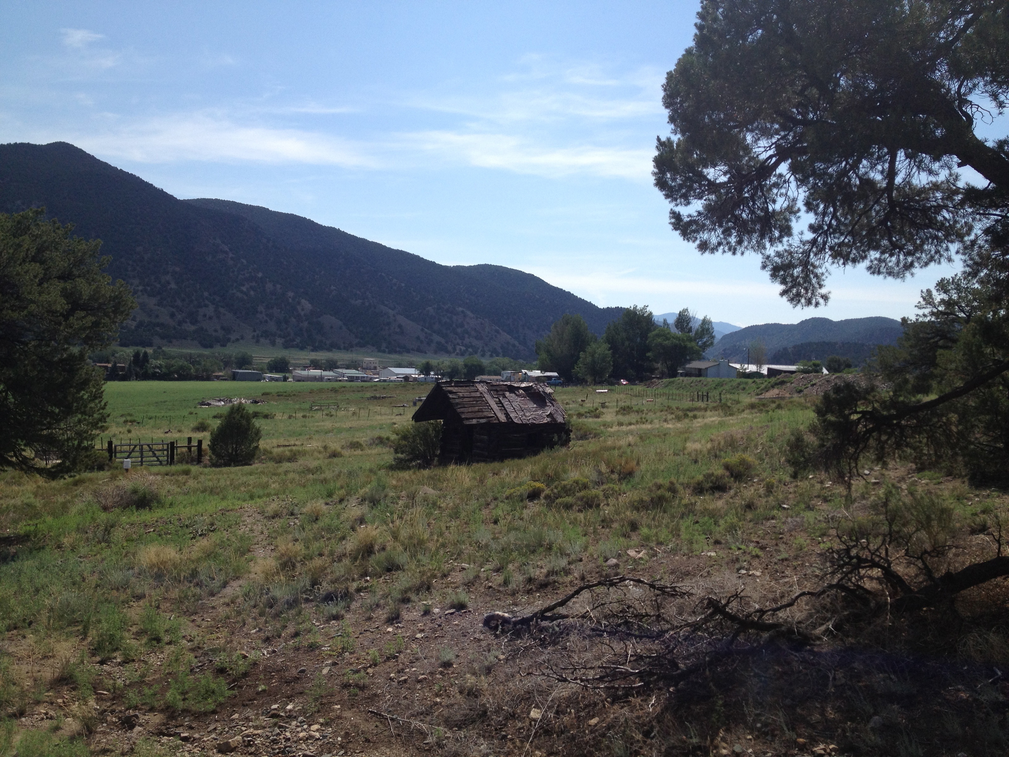
View Back Towards Salida from Wellsville
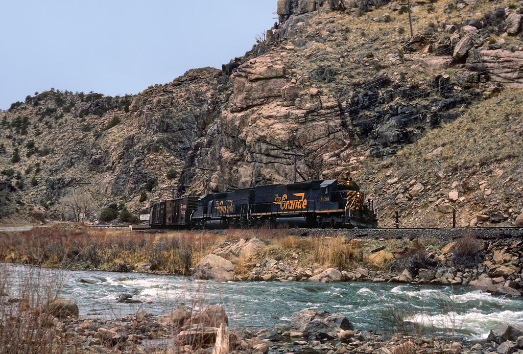
view back towards the railroad
0320 B&B View 4
The rut (6 of 6)
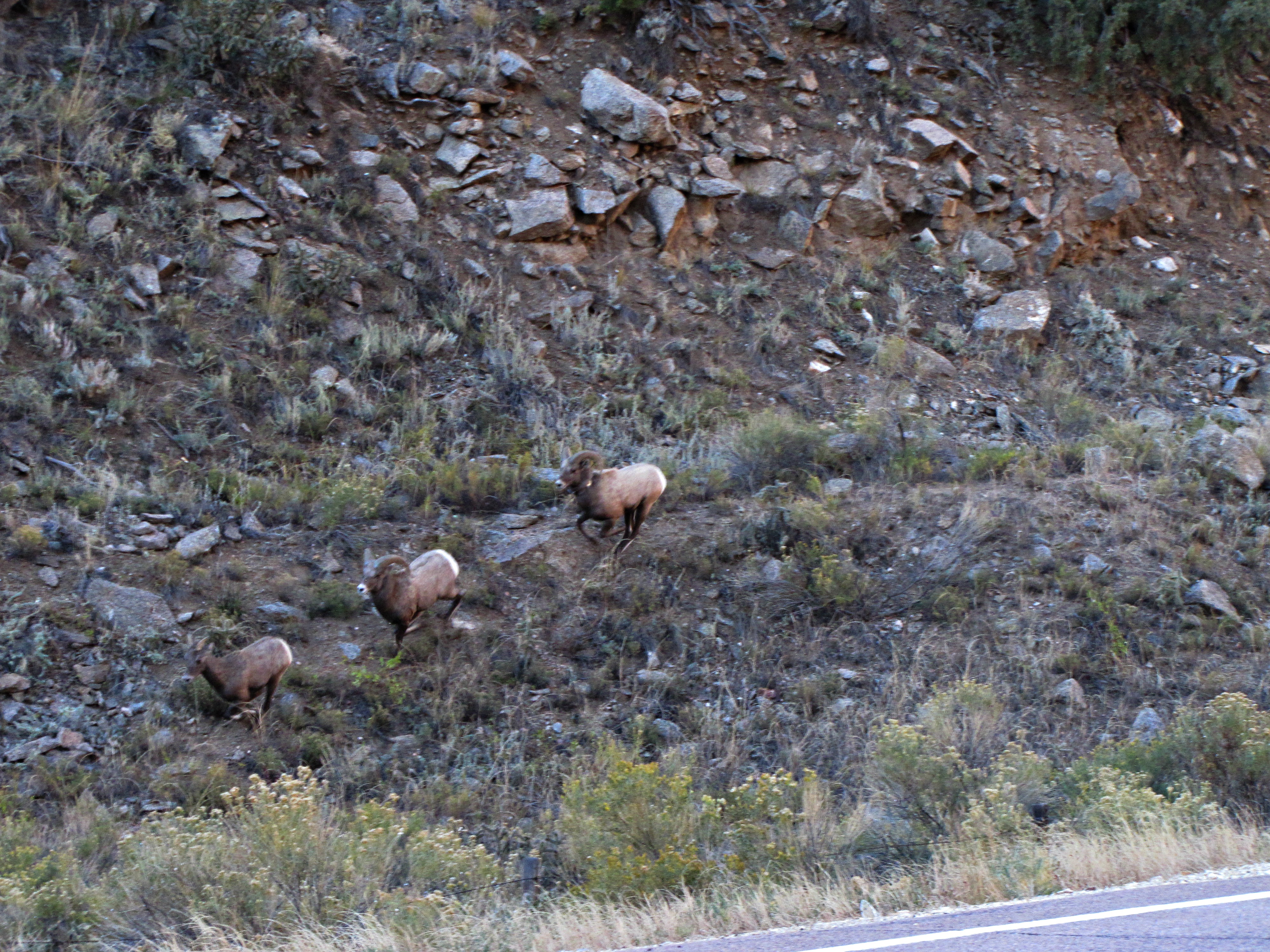
The rut (3 of 6)
The rut (5 of 6)
0260 B&B View 1
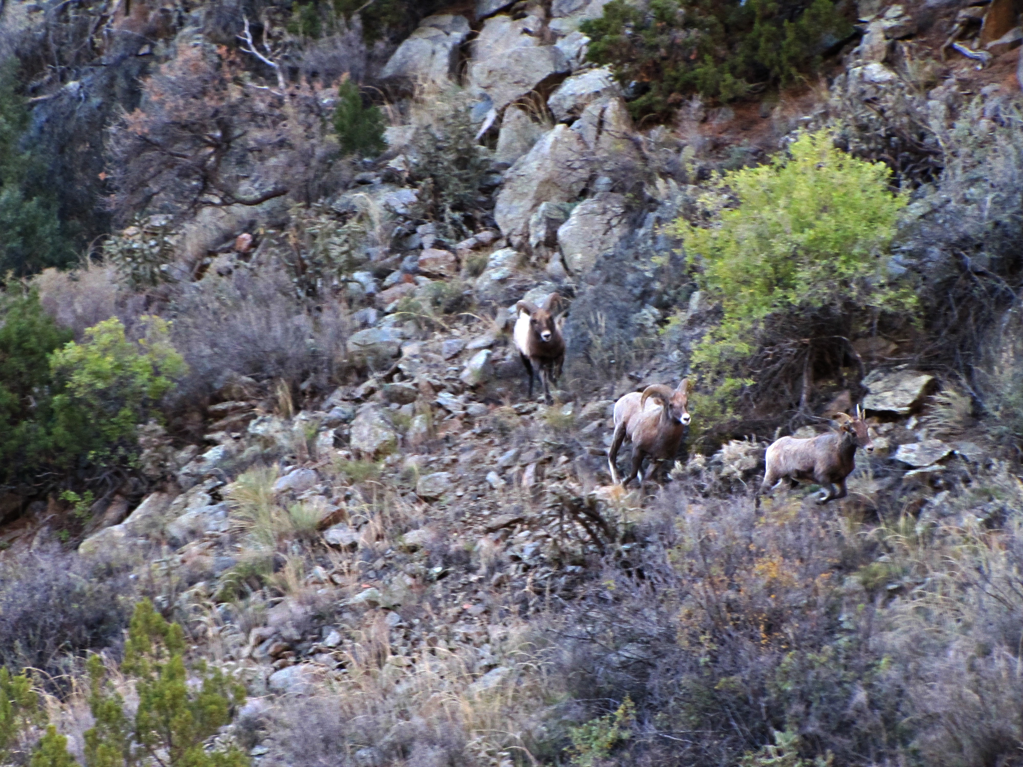
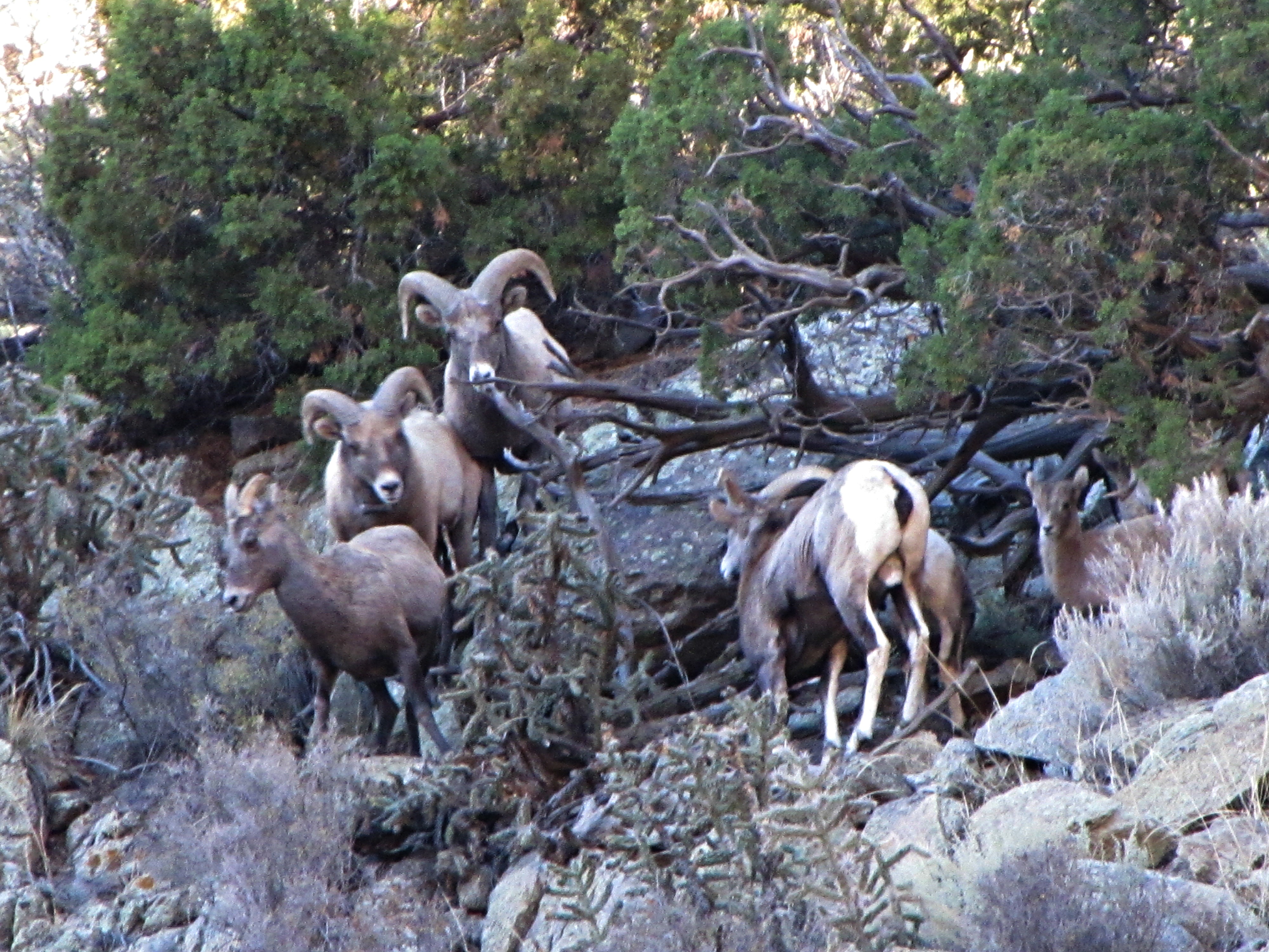
The rut (4 of 6)
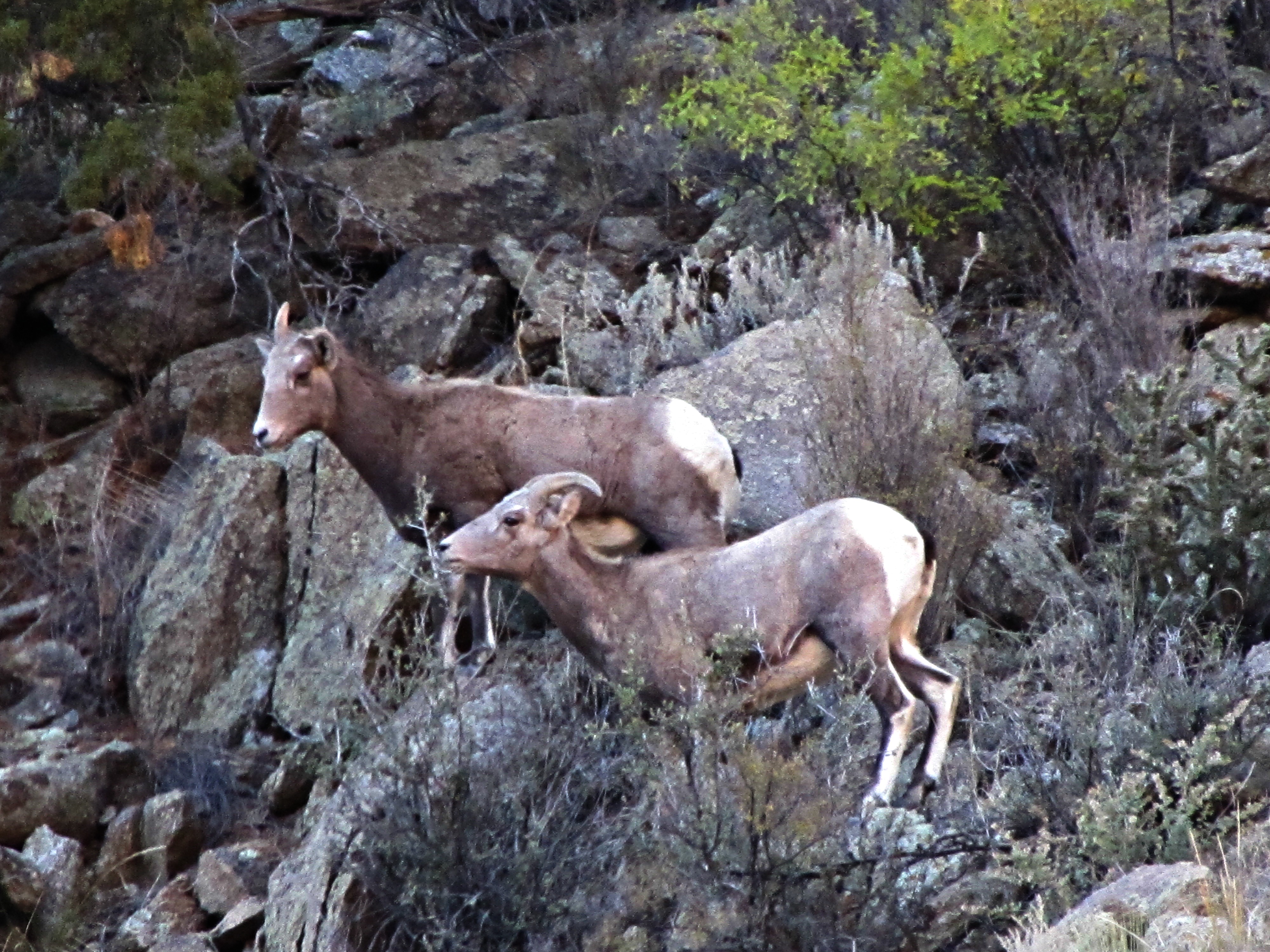
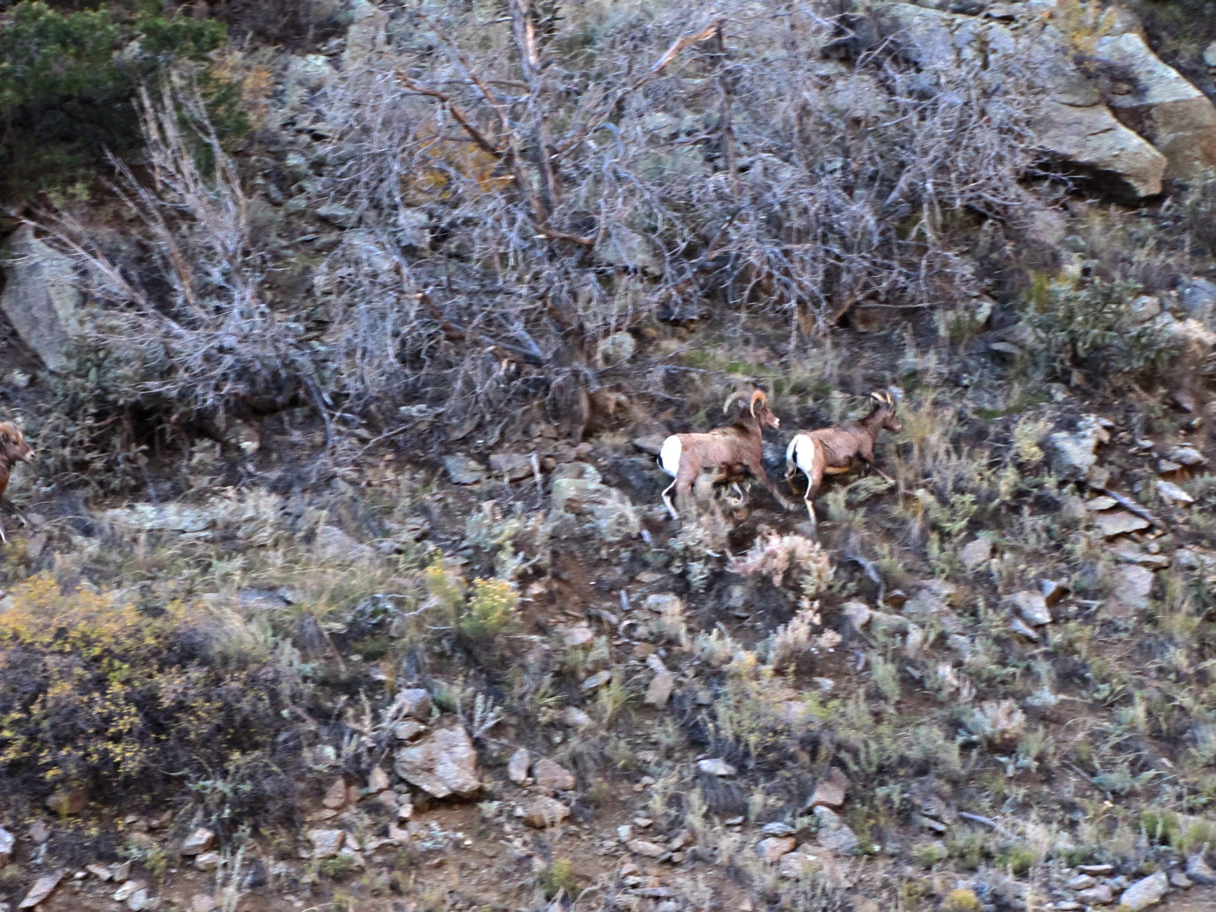
The rut (2 of 6)

0300 B&B View 3
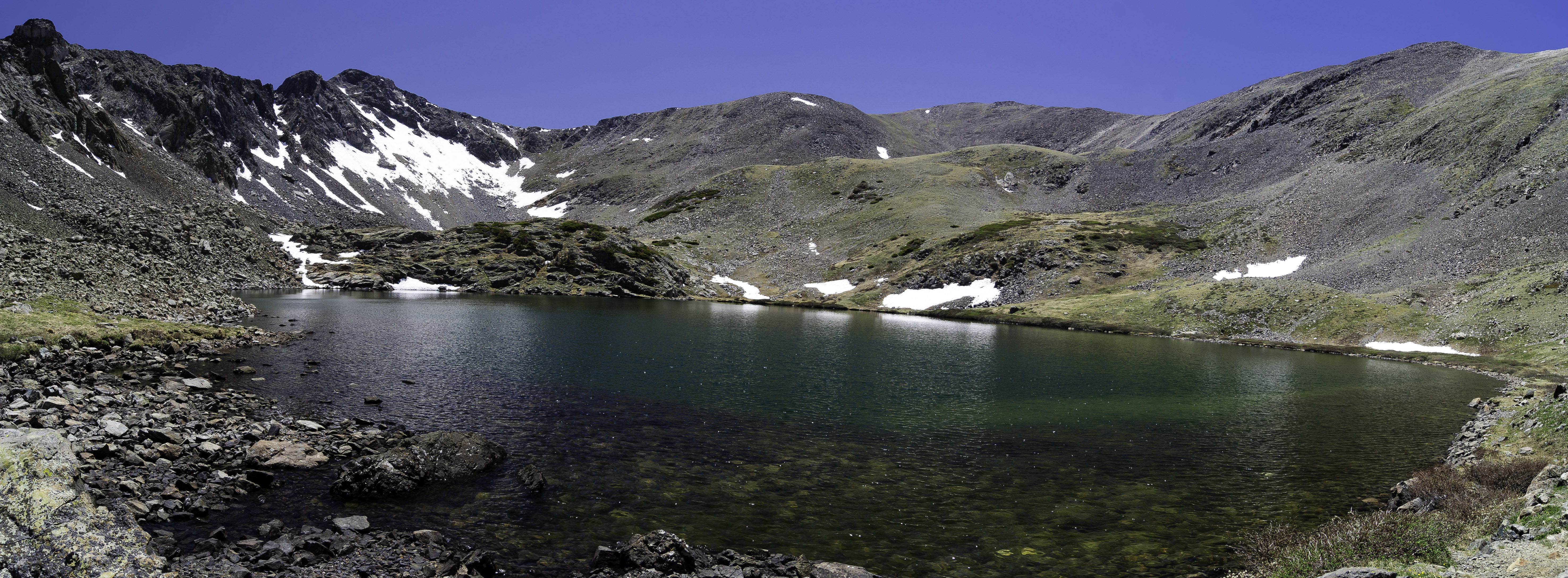
Stout Lake-Pano
Arkansas River along Hiway 50 in Colorado, USA
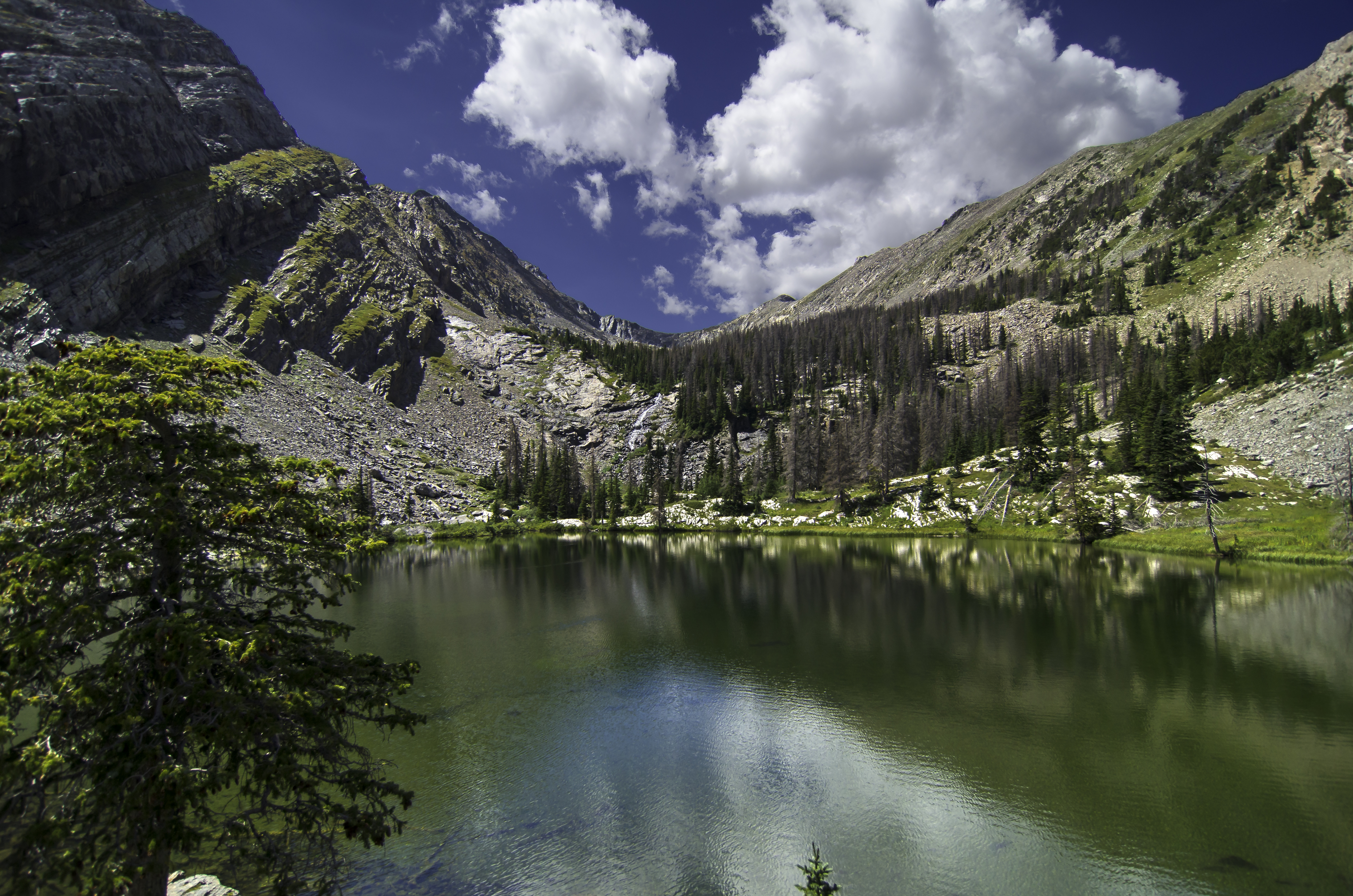
Bushnell Lake
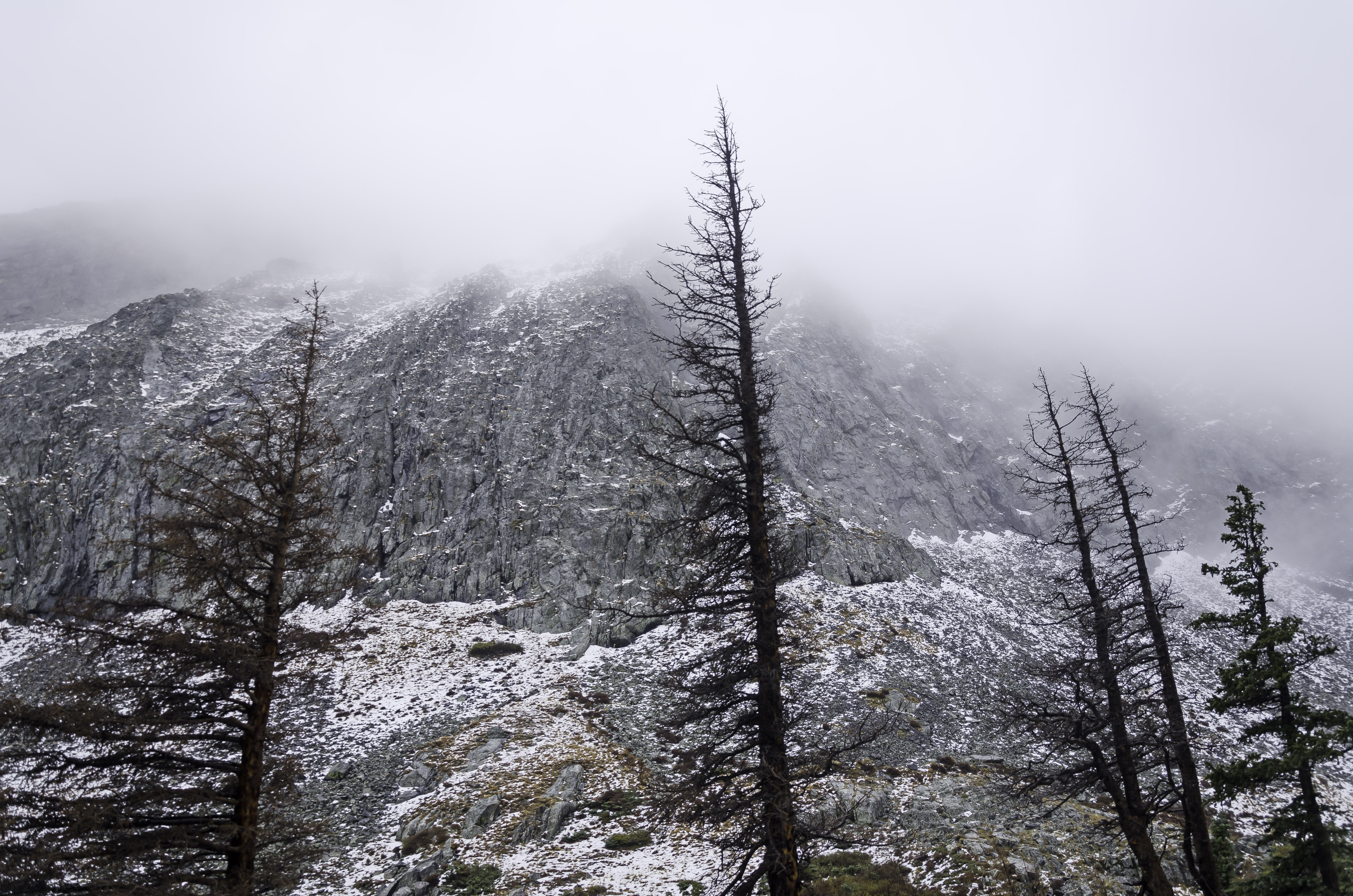
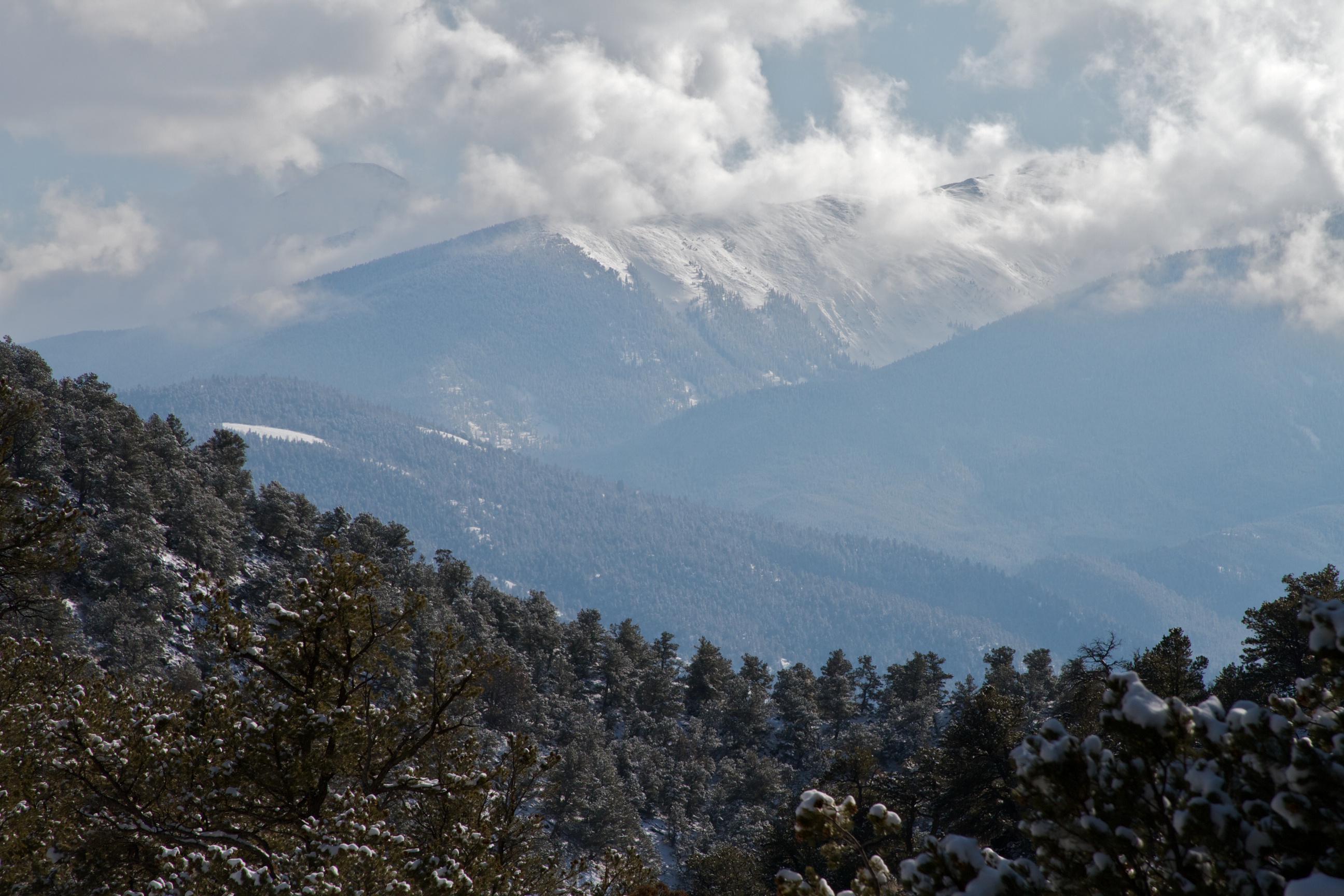
Snow in the Sangre De Crista Wilderness
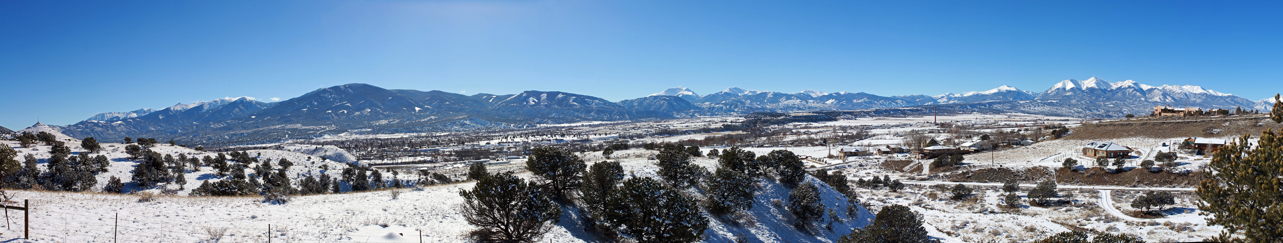
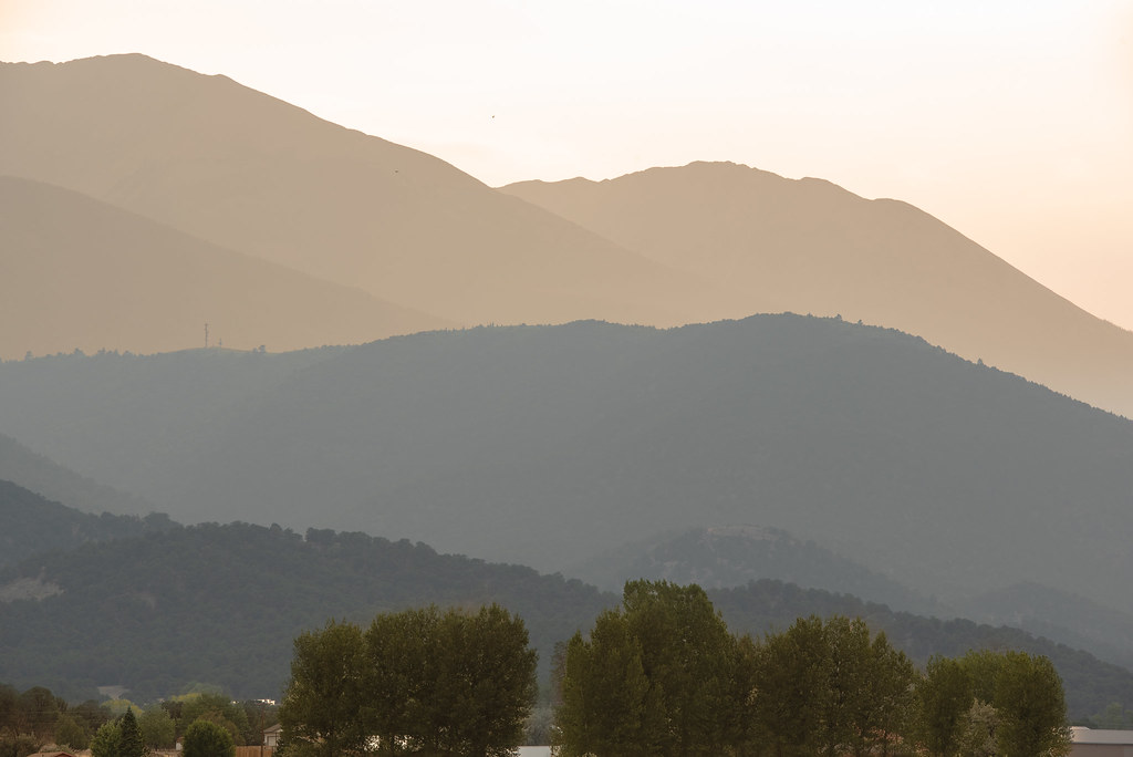
Fourteeners Over Salida
Cotopaxi bound

Monarch Pass on US 50.
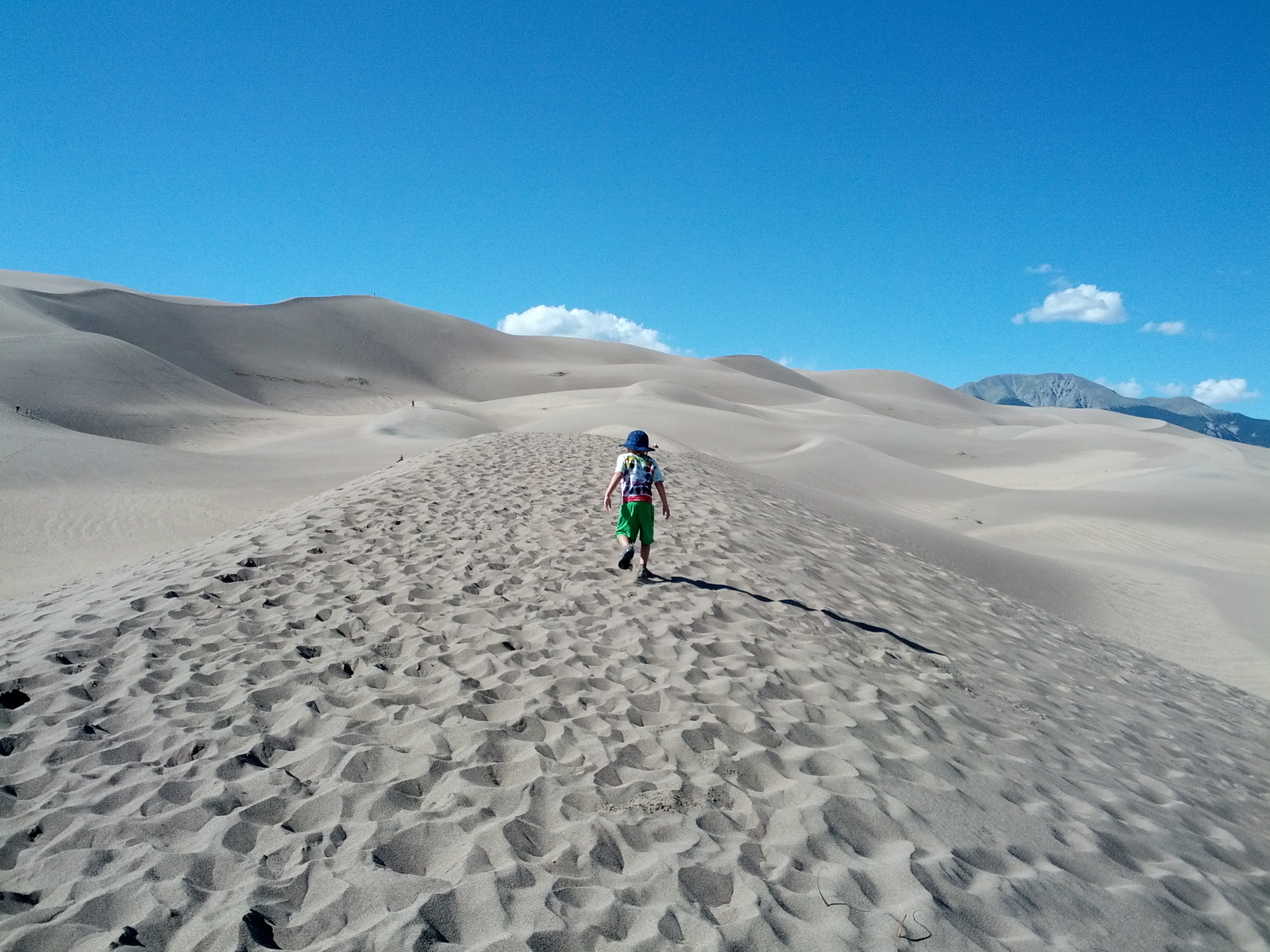
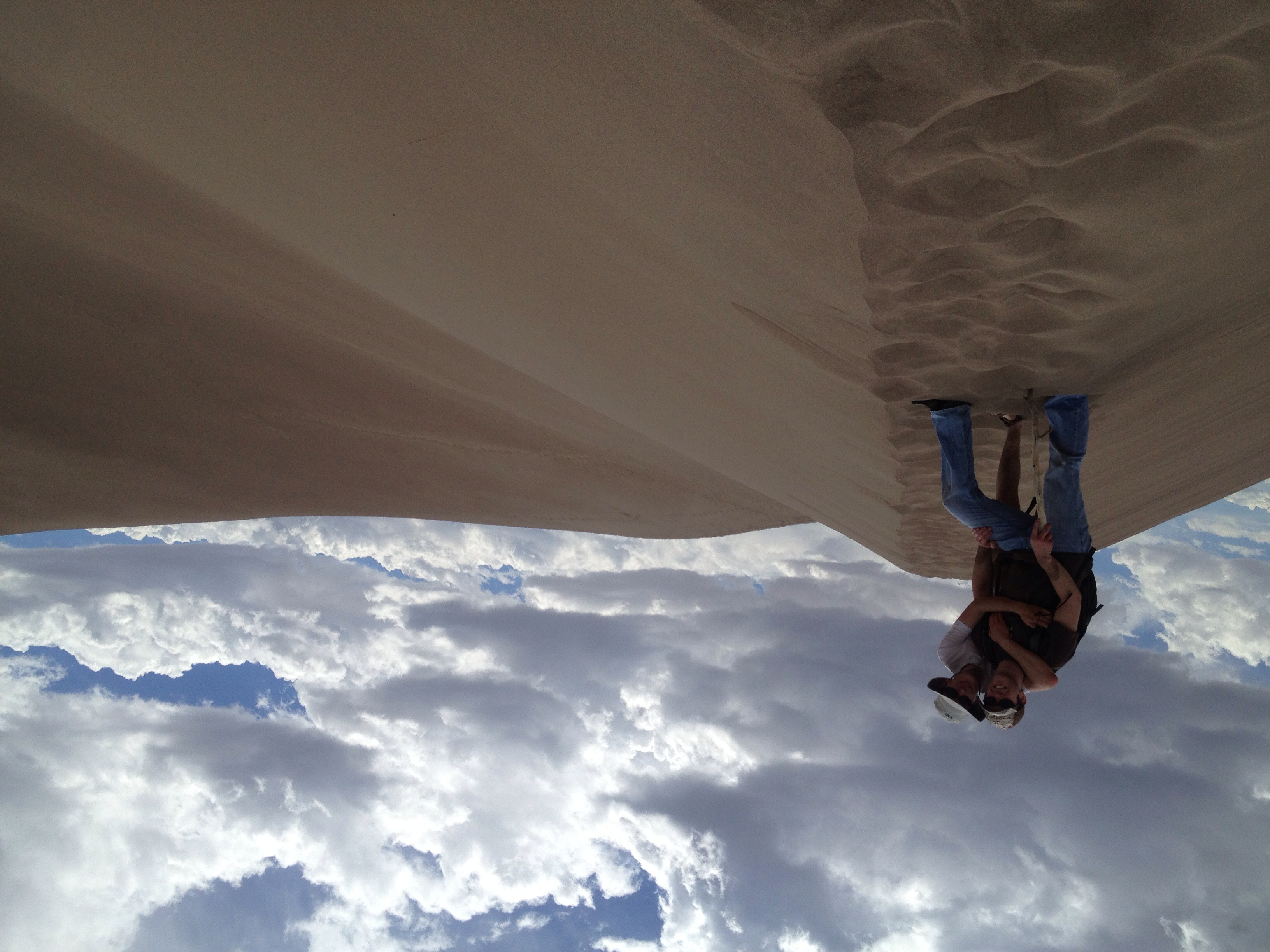
Climbing the Dunes
Sand and water
20180801_18412275_18F_4022.jpg
Sand and water
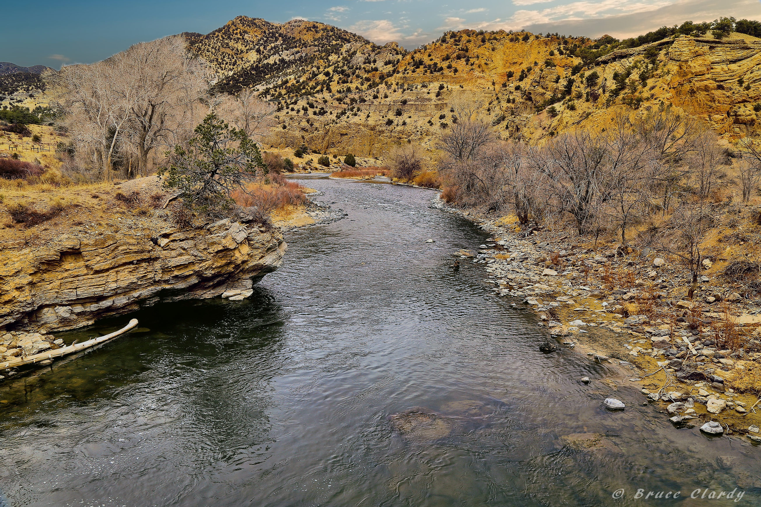
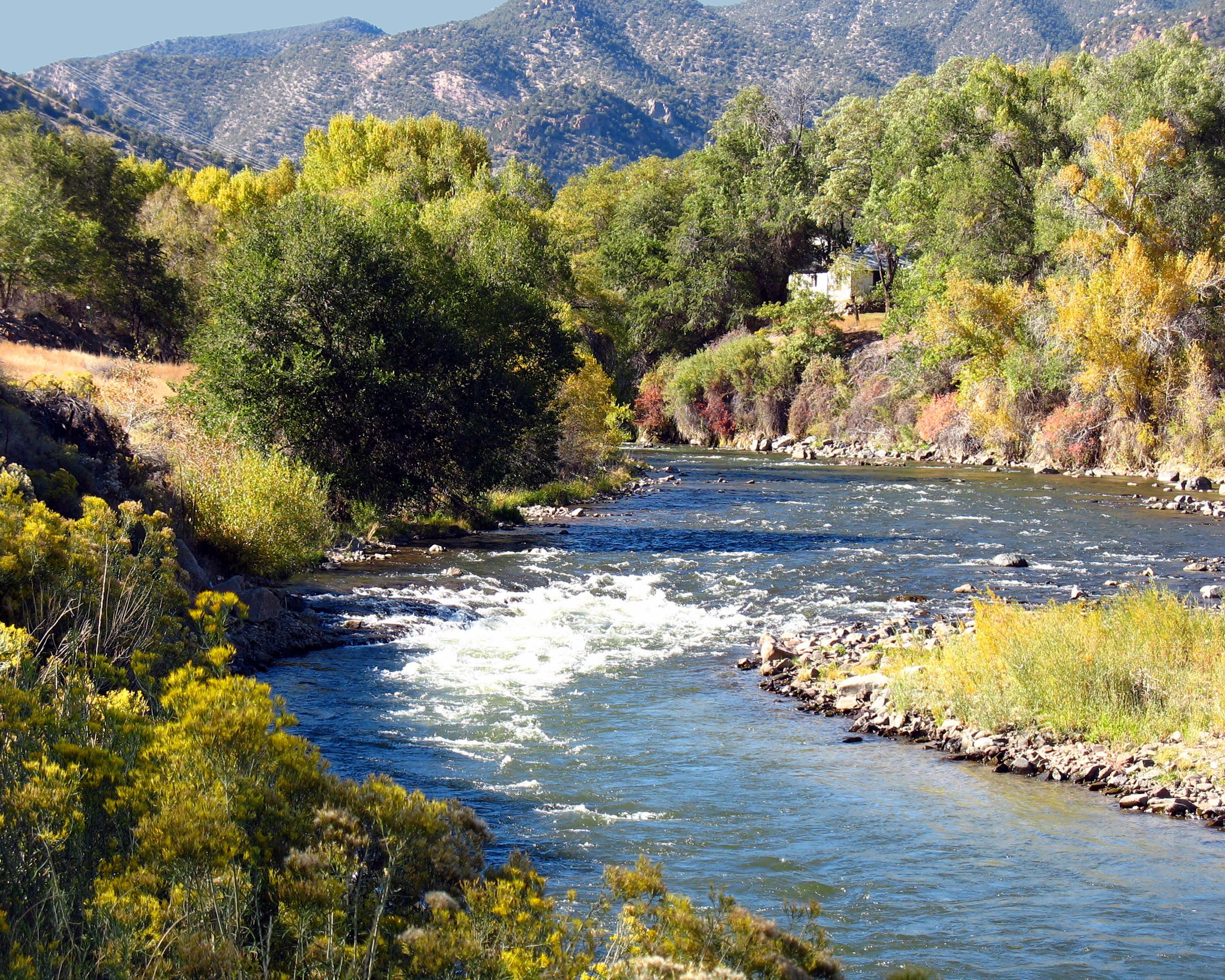
Arkansas River (Pre-Runoff)
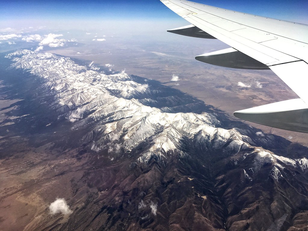
Window Seat | Over Cotopaxi, Colorado | Delta Boeing 757-300
Sand and water
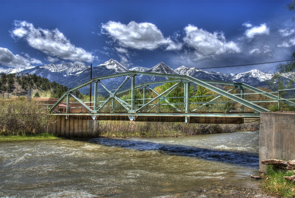
East Howard Bridge, Howard, Colorado
Sand and water
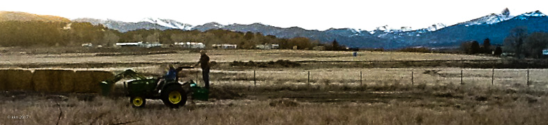
The Millet moment - sort of

Spring Creek Bridge
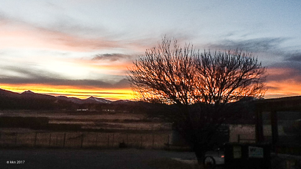
Salida sunset
Sand and water
Topographic Map of Zagia's Apothecary Farm, 99 Co Rd 4, Howard, CO, USA
Find elevation by address:

Places near Zagia's Apothecary Farm, 99 Co Rd 4, Howard, CO, USA:
Howard
15 Co Rd 4, Howard, CO, USA
368 Pinon Hills Dr
9329 Us-50
9362 Us-50
County Road 48
35 Shillelagh Pl
35 Shillelagh Pl
41 Shillelagh Pl
Shillelagh Place
460 Scenic Ln
Middle Camp Road
4821 Knotty Pine Rd
4821 Knotty Pine Rd
4821 Knotty Pine Rd
Howard, CO, USA
Co Rd 7, Salida, CO, USA
Wellsville
Hunts Peak
Mount Otto
Recent Searches:
- Elevation of Shibuya Scramble Crossing, 21 Udagawacho, Shibuya City, Tokyo -, Japan
- Elevation of Jadagoniai, Kaunas District Municipality, Lithuania
- Elevation of Pagonija rock, Kranto 7-oji g. 8"N, Kaunas, Lithuania
- Elevation of Co Rd 87, Jamestown, CO, USA
- Elevation of Tenjo, Cundinamarca, Colombia
- Elevation of Côte-des-Neiges, Montreal, QC H4A 3J6, Canada
- Elevation of Bobcat Dr, Helena, MT, USA
- Elevation of Zu den Ihlowbergen, Althüttendorf, Germany
- Elevation of Badaber, Peshawar, Khyber Pakhtunkhwa, Pakistan
- Elevation of SE Heron Loop, Lincoln City, OR, USA