Elevation of Mount Otto, Mt Otto, Colorado, USA
Location: United States > Colorado > Villa Grove >
Longitude: -105.88278
Latitude: 38.3272205
Elevation: 3872m / 12703feet
Barometric Pressure: 63KPa
Elevation Map:
Satellite Map:
Related Photos:
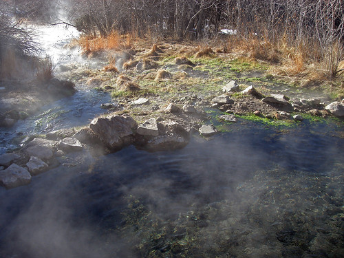
Waterfall Pool

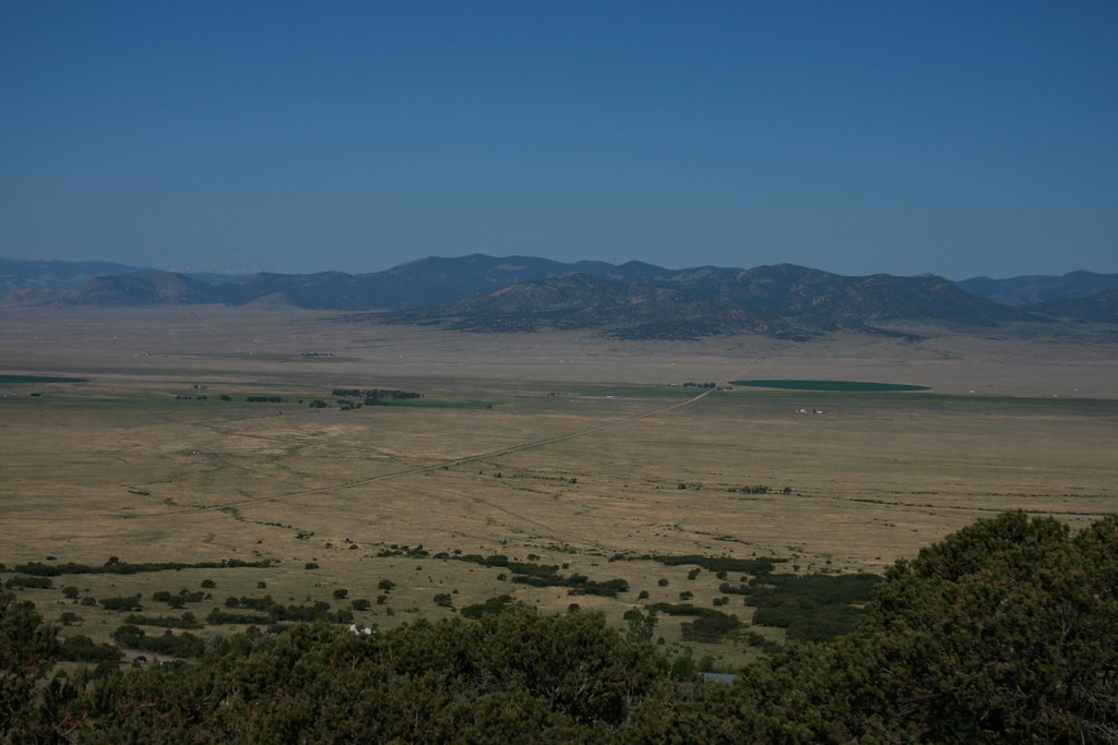
Valley View Panorama

Sally Takes in the View

Orient Mine

Ghost Town of Orient

Orient Mine
Sinister Minister
Saguache Valley, Colorado

The rut (4 of 6)
Topographic Map of Mount Otto, Mt Otto, Colorado, USA
Find elevation by address:

Places near Mount Otto, Mt Otto, Colorado, USA:
4821 Knotty Pine Rd
4821 Knotty Pine Rd
4821 Knotty Pine Rd
Hunts Peak
Howard, CO, USA
460 Scenic Ln
County Road 48
Shillelagh Place
35 Shillelagh Pl
9362 Us-50
35 Shillelagh Pl
41 Shillelagh Pl
Middle Camp Road
9329 Us-50
368 Pinon Hills Dr
Howard
Zagia's Apothecary Farm
15 Co Rd 4, Howard, CO, USA
Wellsville
Co Rd 7, Salida, CO, USA
Recent Searches:
- Elevation of Corso Fratelli Cairoli, 35, Macerata MC, Italy
- Elevation of Tallevast Rd, Sarasota, FL, USA
- Elevation of 4th St E, Sonoma, CA, USA
- Elevation of Black Hollow Rd, Pennsdale, PA, USA
- Elevation of Oakland Ave, Williamsport, PA, USA
- Elevation of Pedrógão Grande, Portugal
- Elevation of Klee Dr, Martinsburg, WV, USA
- Elevation of Via Roma, Pieranica CR, Italy
- Elevation of Tavkvetili Mountain, Georgia
- Elevation of Hartfords Bluff Cir, Mt Pleasant, SC, USA