Elevation of 15 Co Rd 4, Howard, CO, USA
Location: United States > Colorado > Fremont County > Howard >
Longitude: -105.83477
Latitude: 38.448681
Elevation: 2047m / 6716feet
Barometric Pressure: 79KPa
Elevation Map:
Satellite Map:
Related Photos:
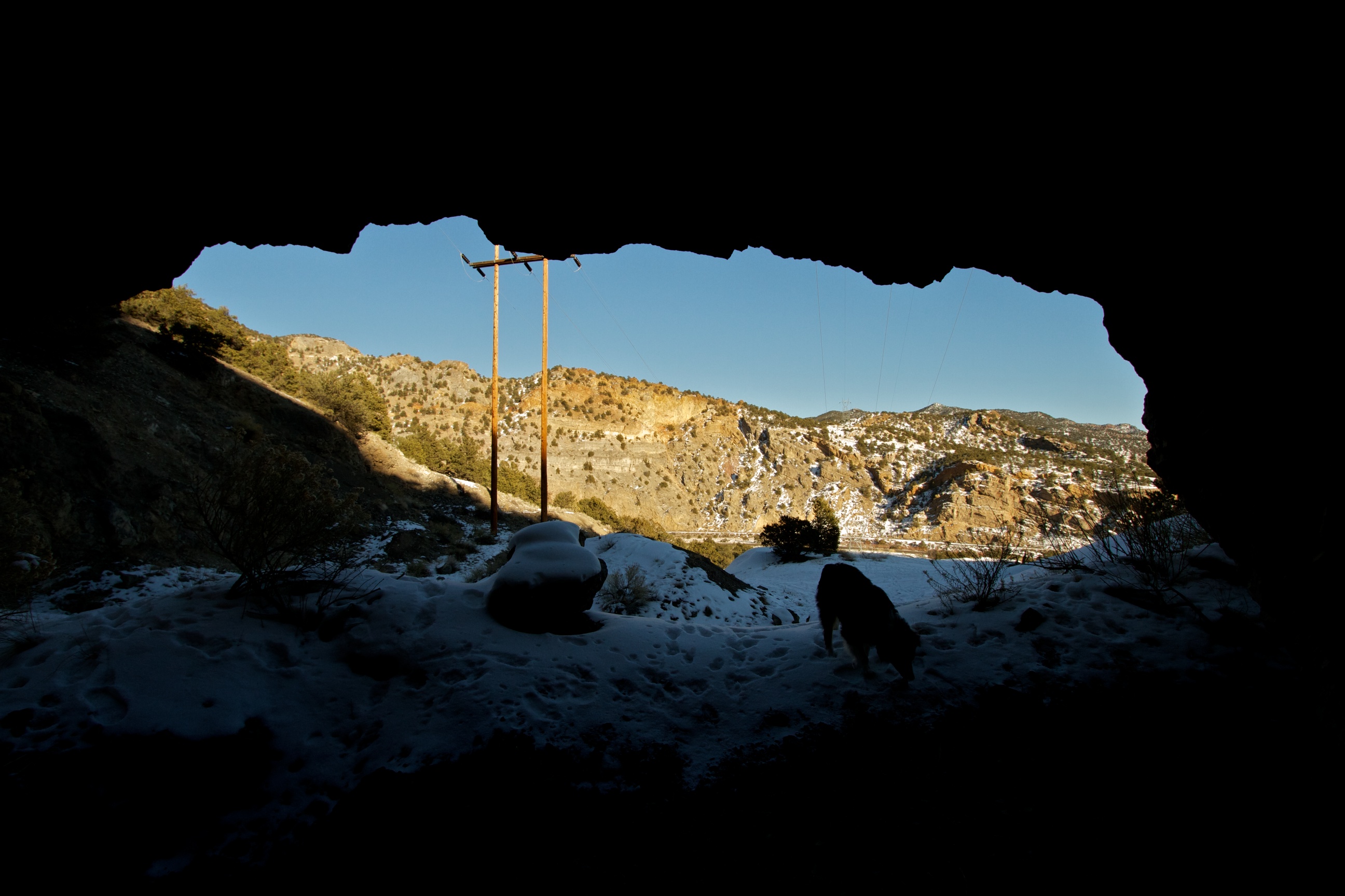
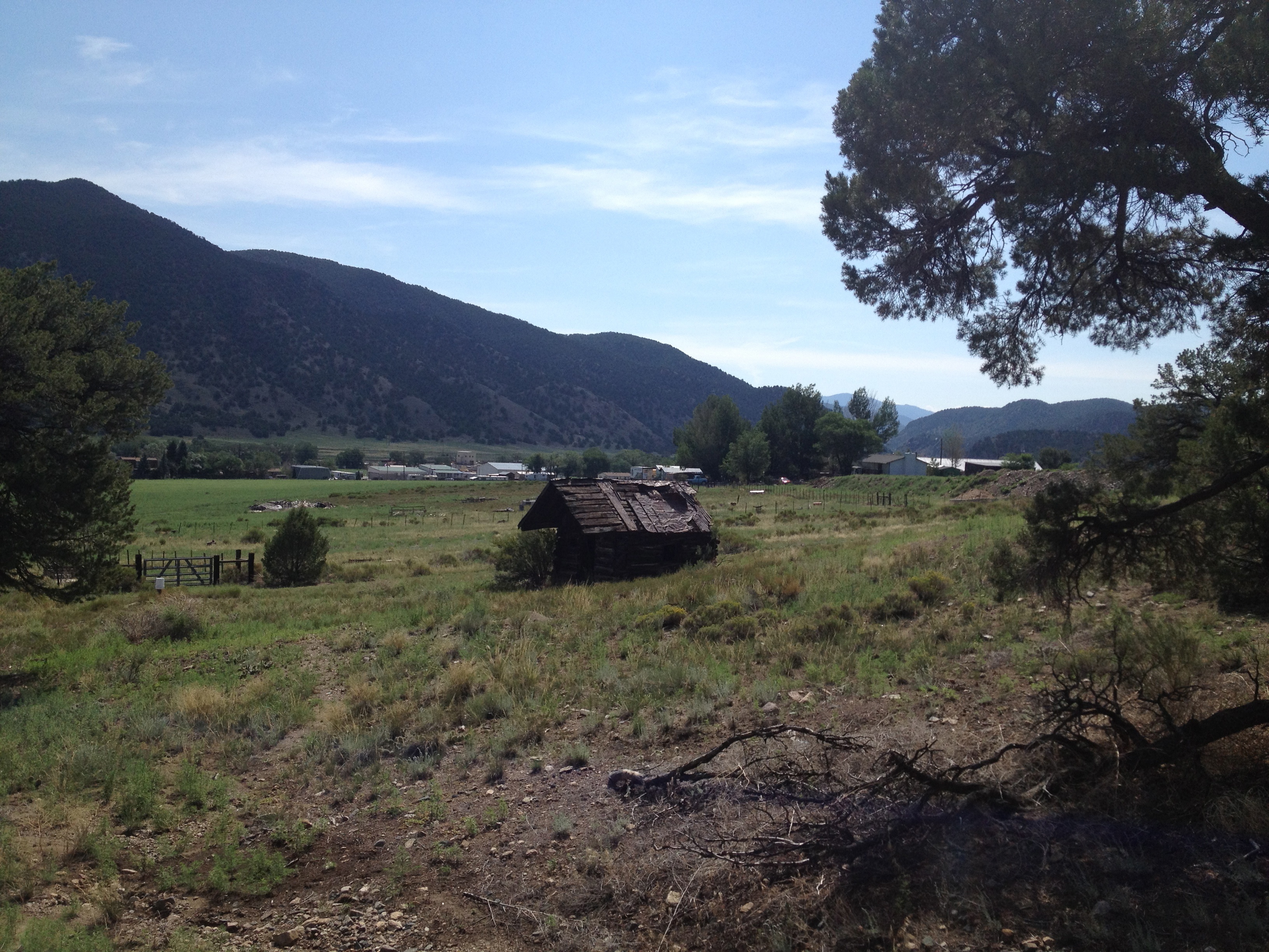
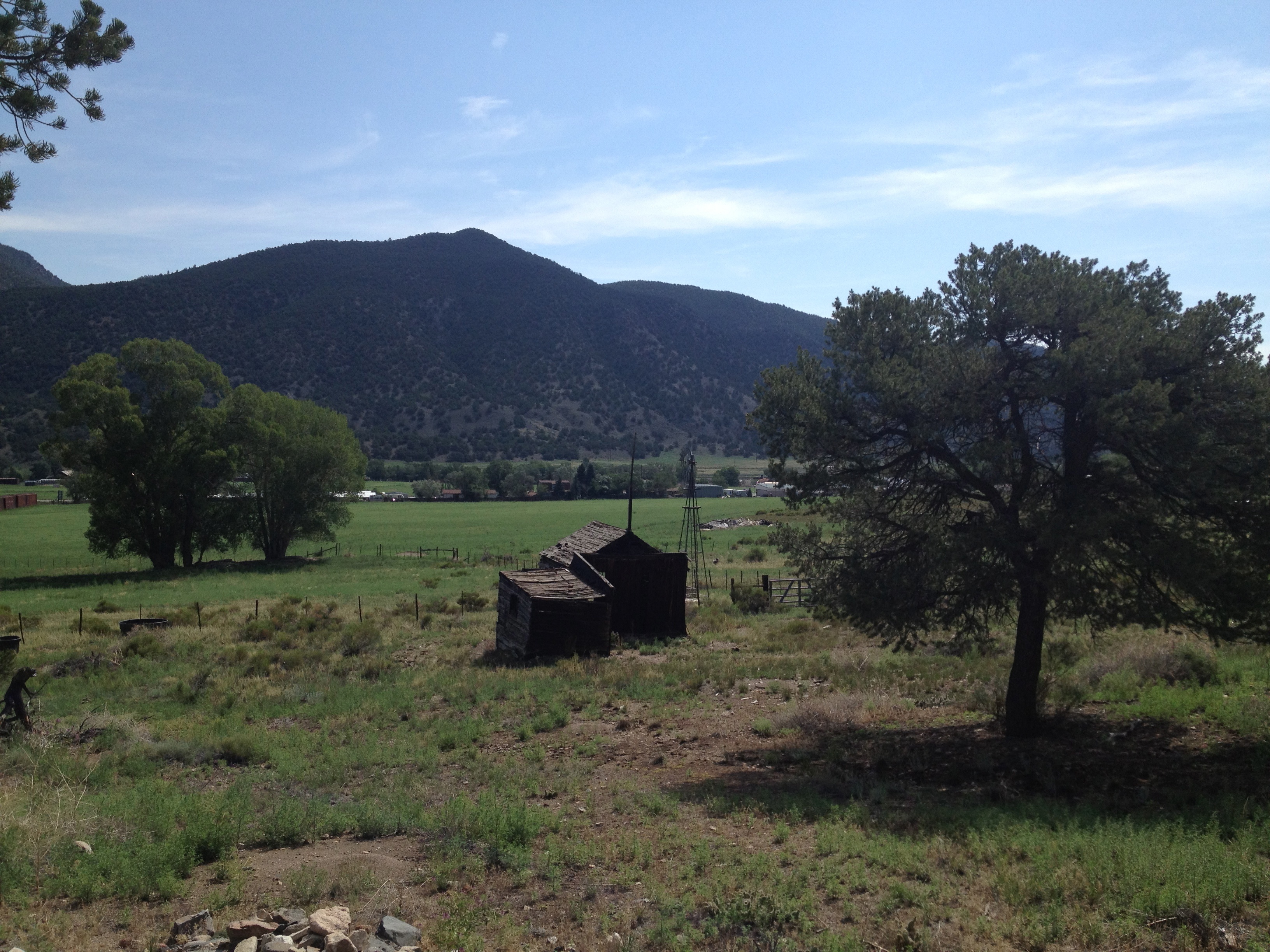
View from the Mine
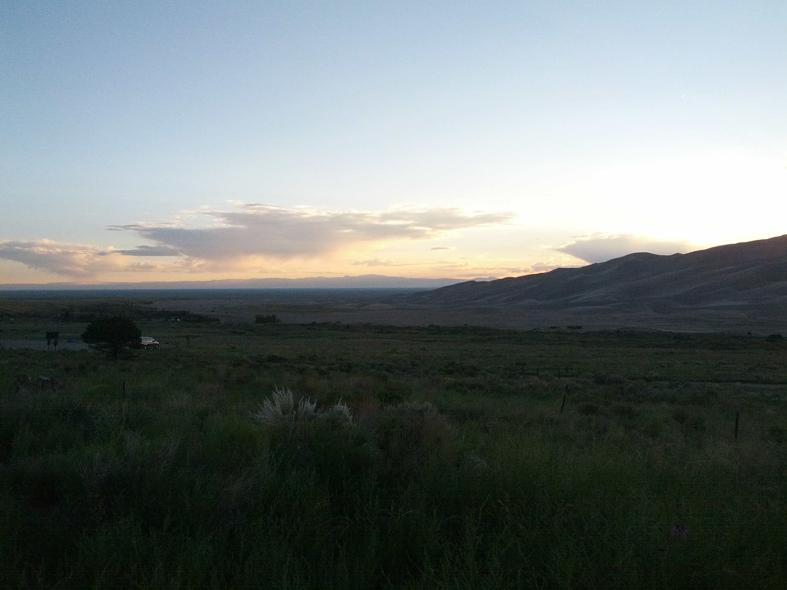
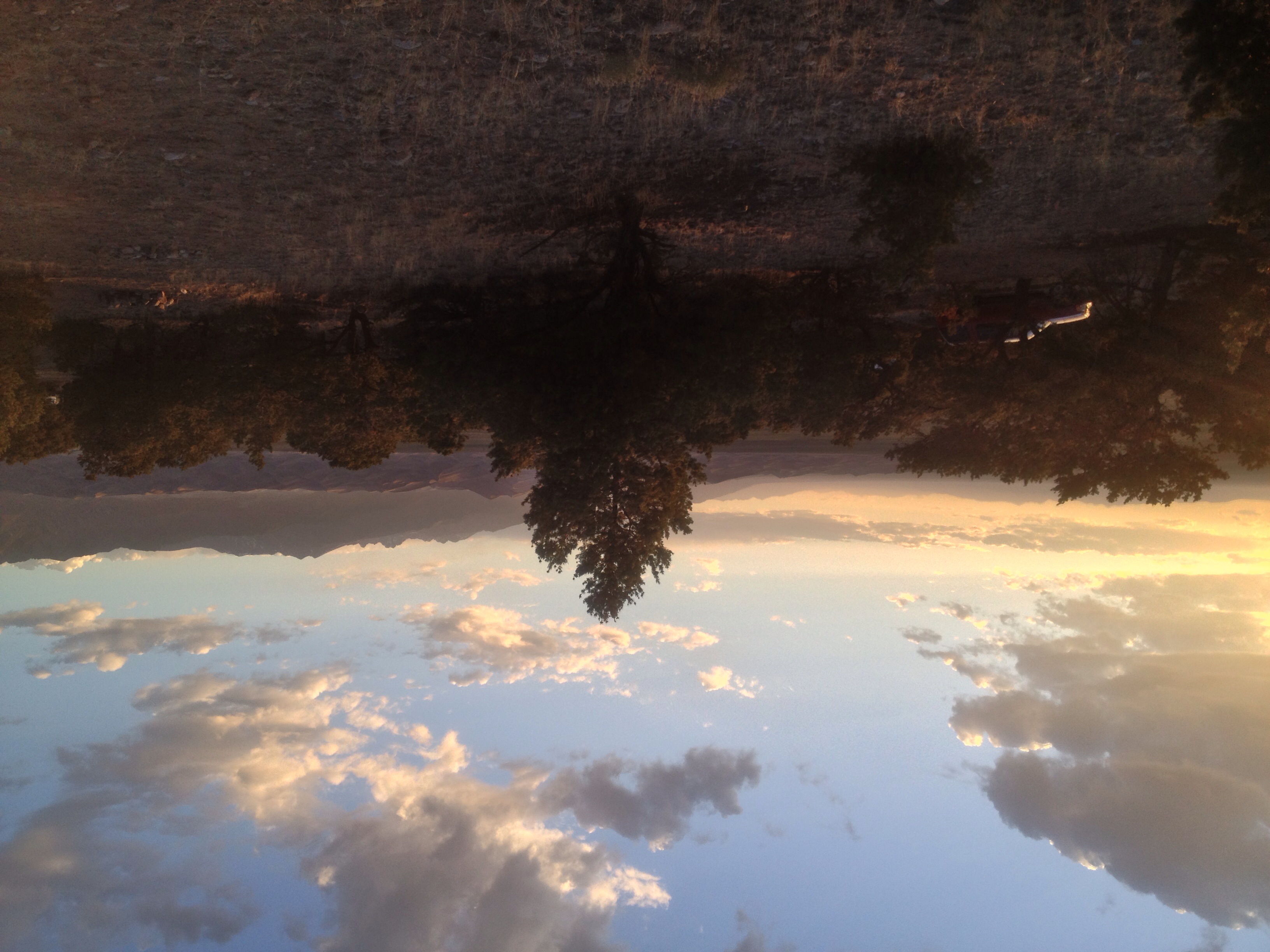
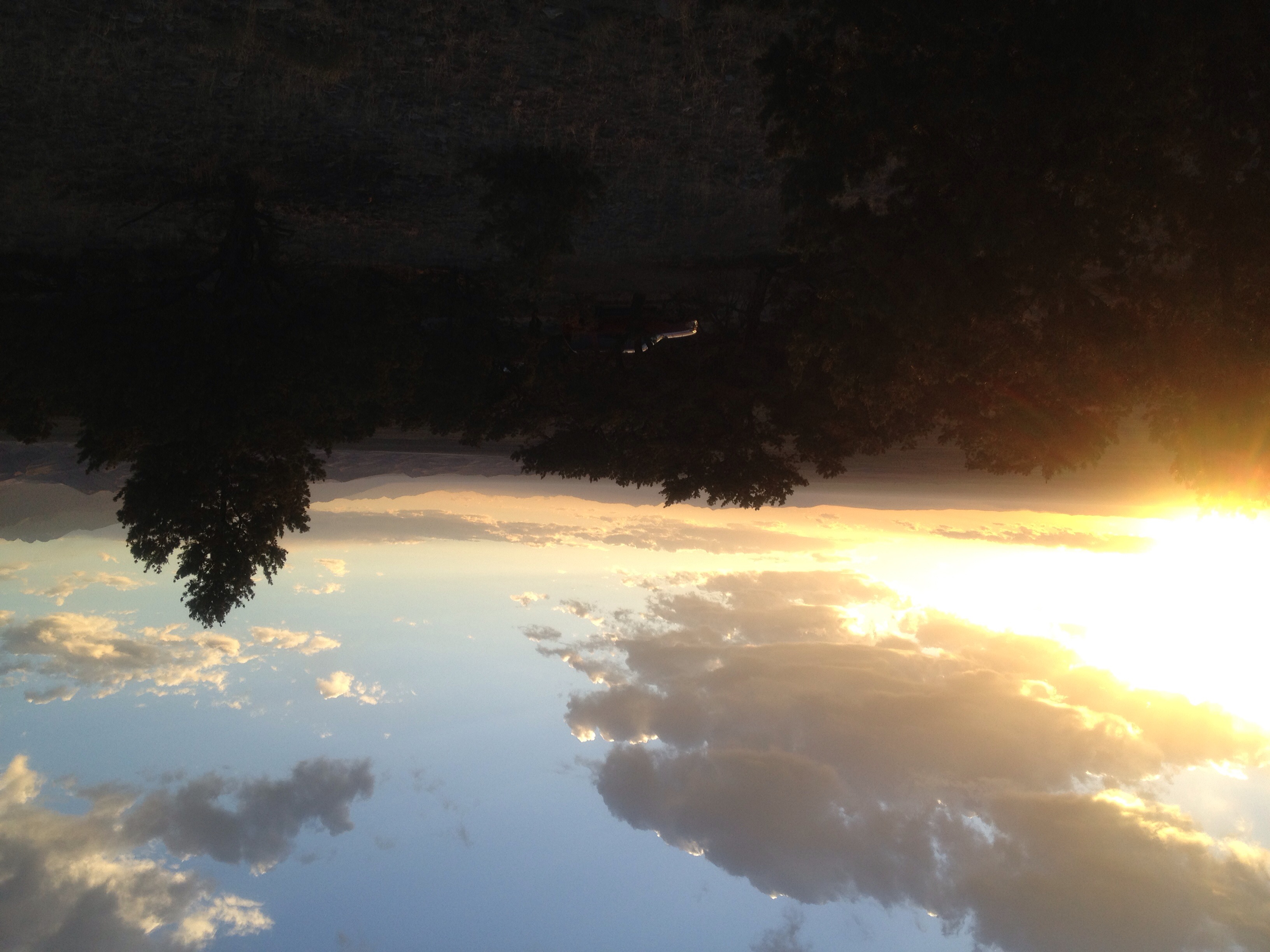
Evening View from Our Campsite

View from the Rails
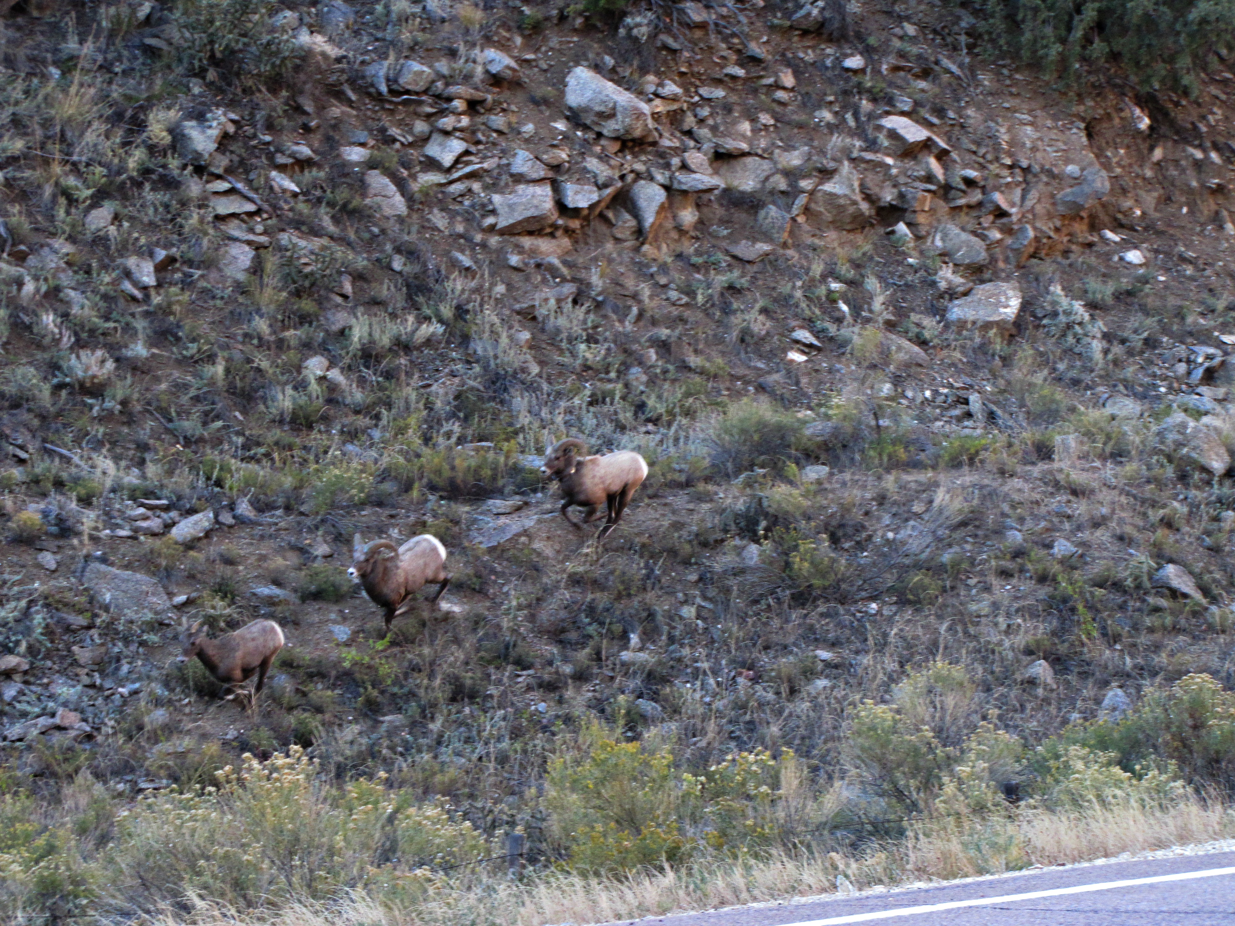
The rut (6 of 6)

The Rut (1 of 6)
view back towards the railroad
0320 B&B View 4
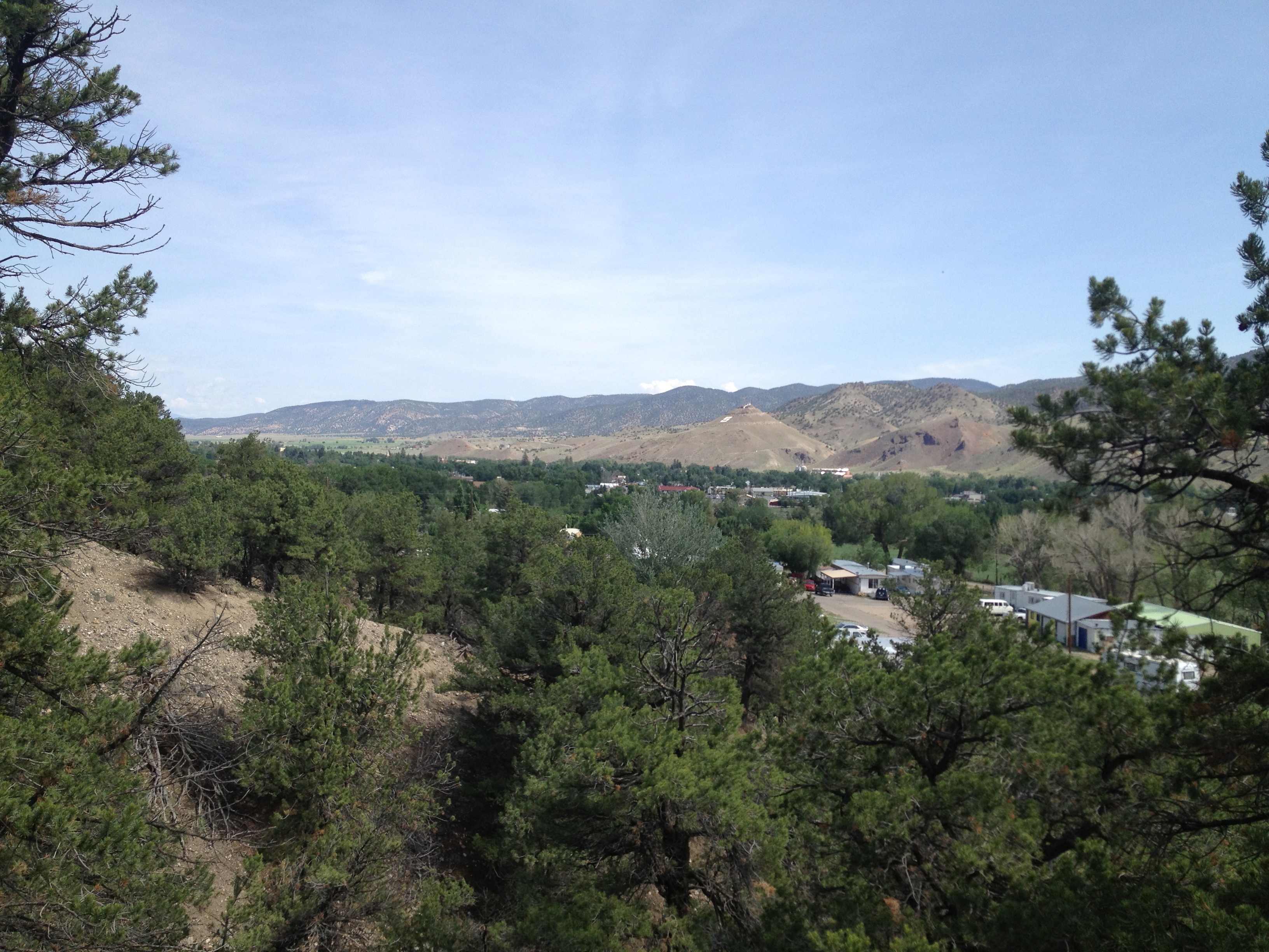
View Back Towards Salida from Wellsville
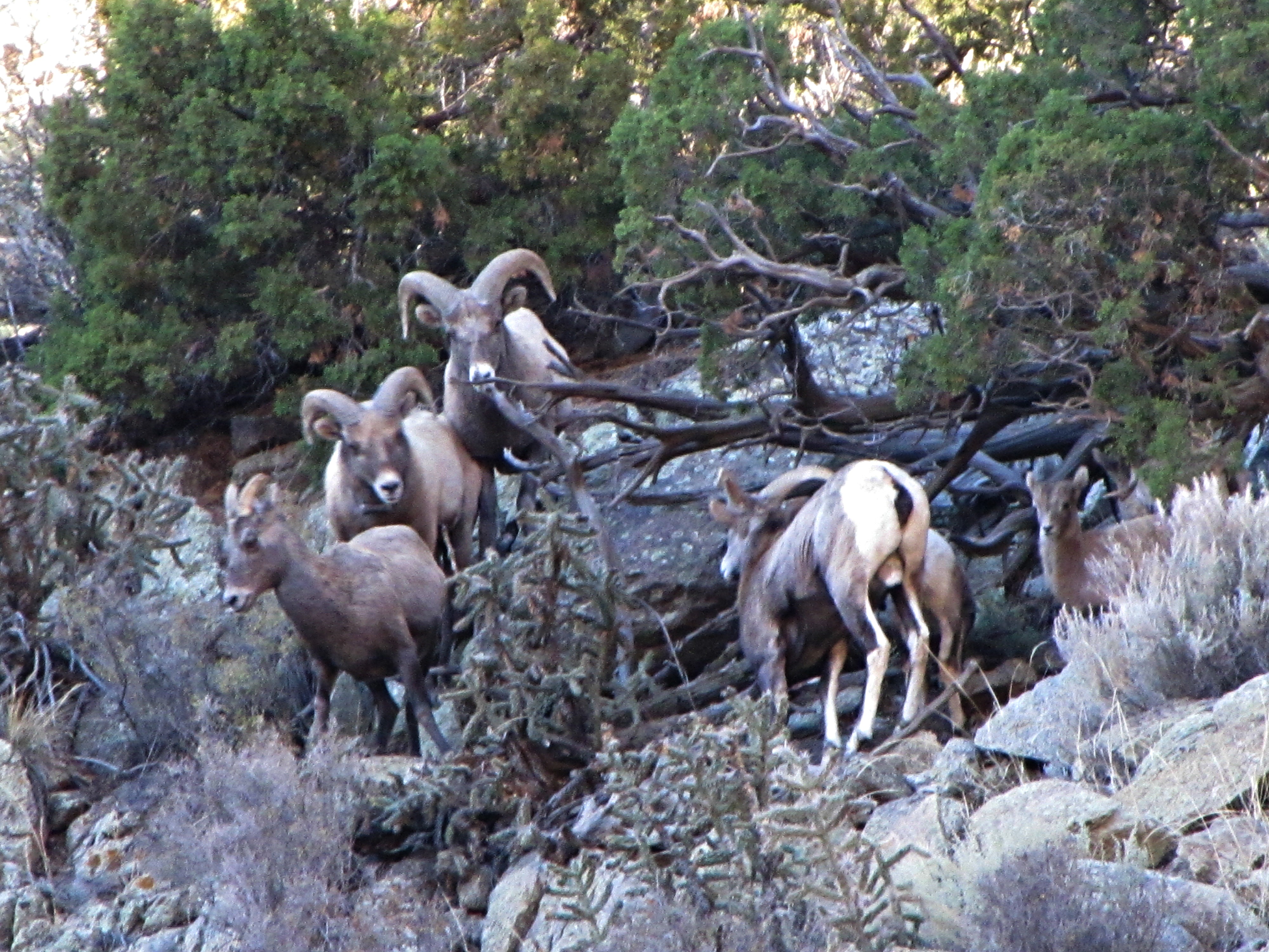
The rut (3 of 6)
0260 B&B View 1
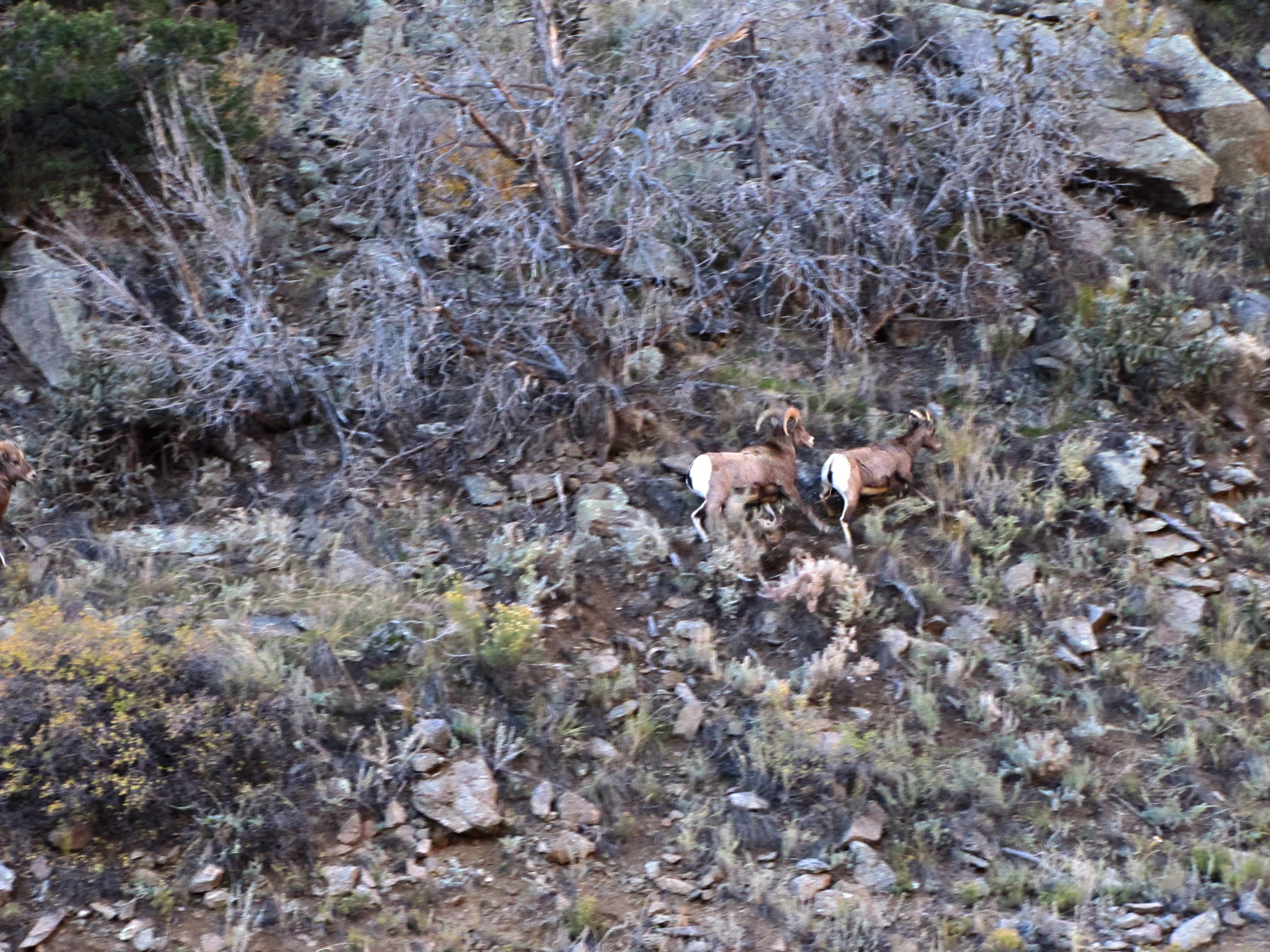
The rut (5 of 6)

View from Badger Creek Bridge
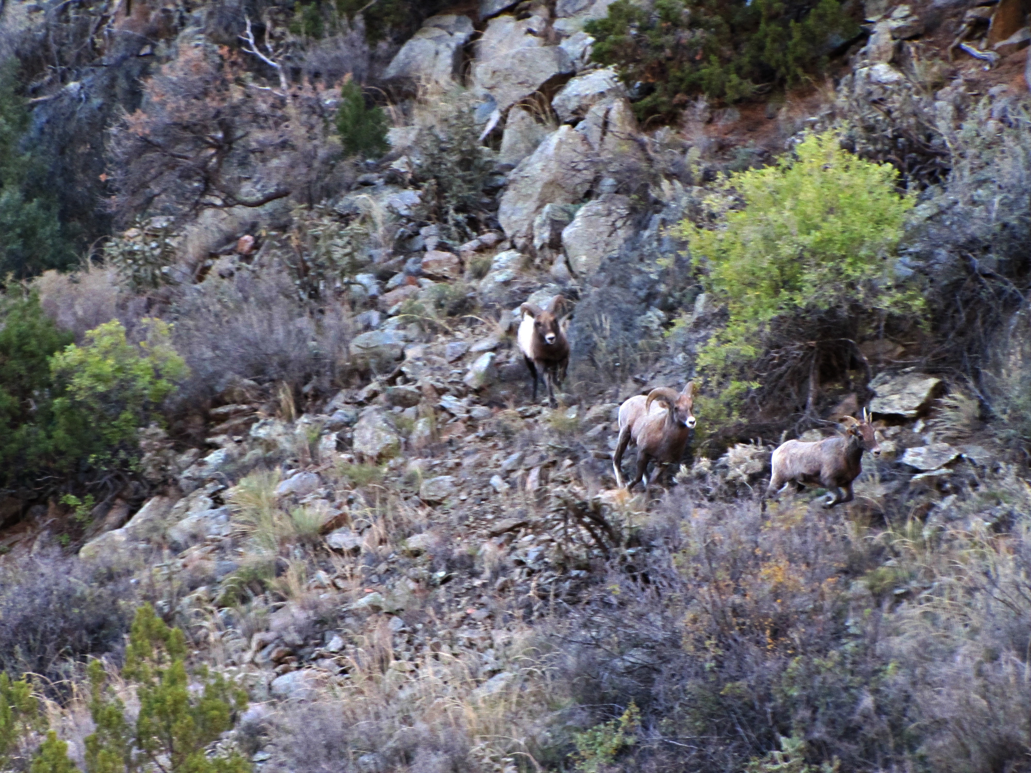
The rut (4 of 6)
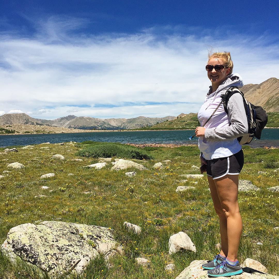
Happy birthday Shannon! ???? I love you so much! Enjoying the view at Pomeroy Lake at 12,000 feet elevation after a nice hike from our camp. #mountainview #mountains #colorado #hike #backcountry #jeep #jeepcountry #pomeroylakes #buenavista #camping
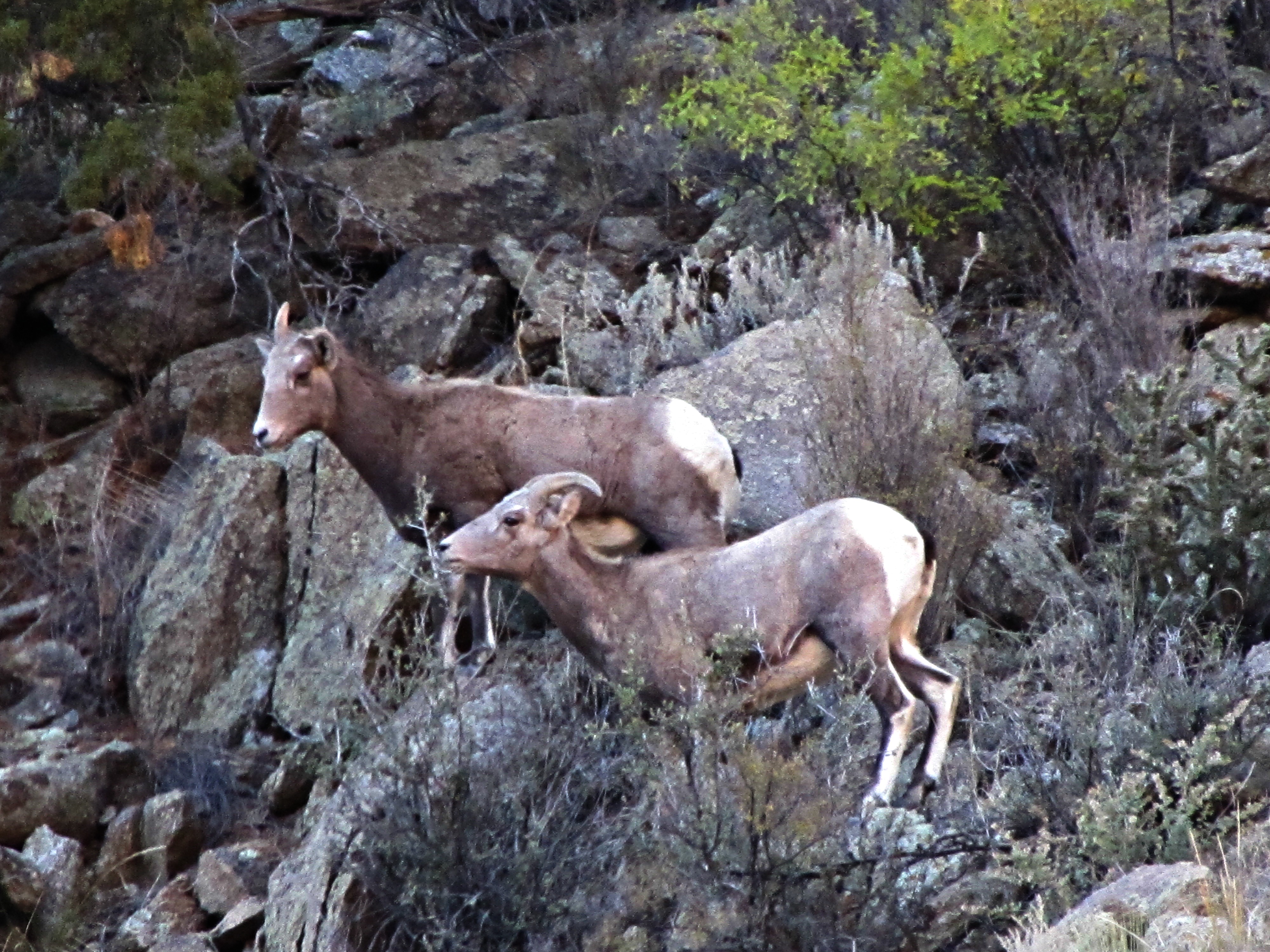
The rut (2 of 6)

0300 B&B View 3
0280 B&B View 2

View From Airplane
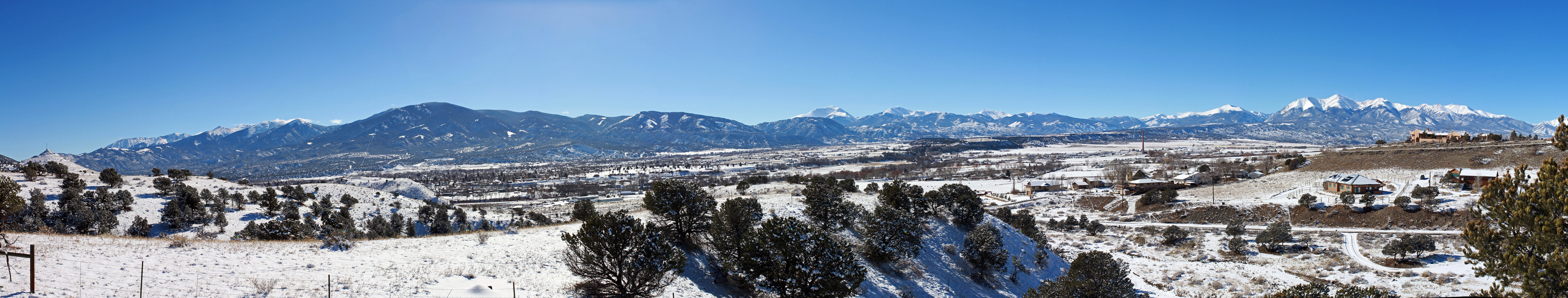
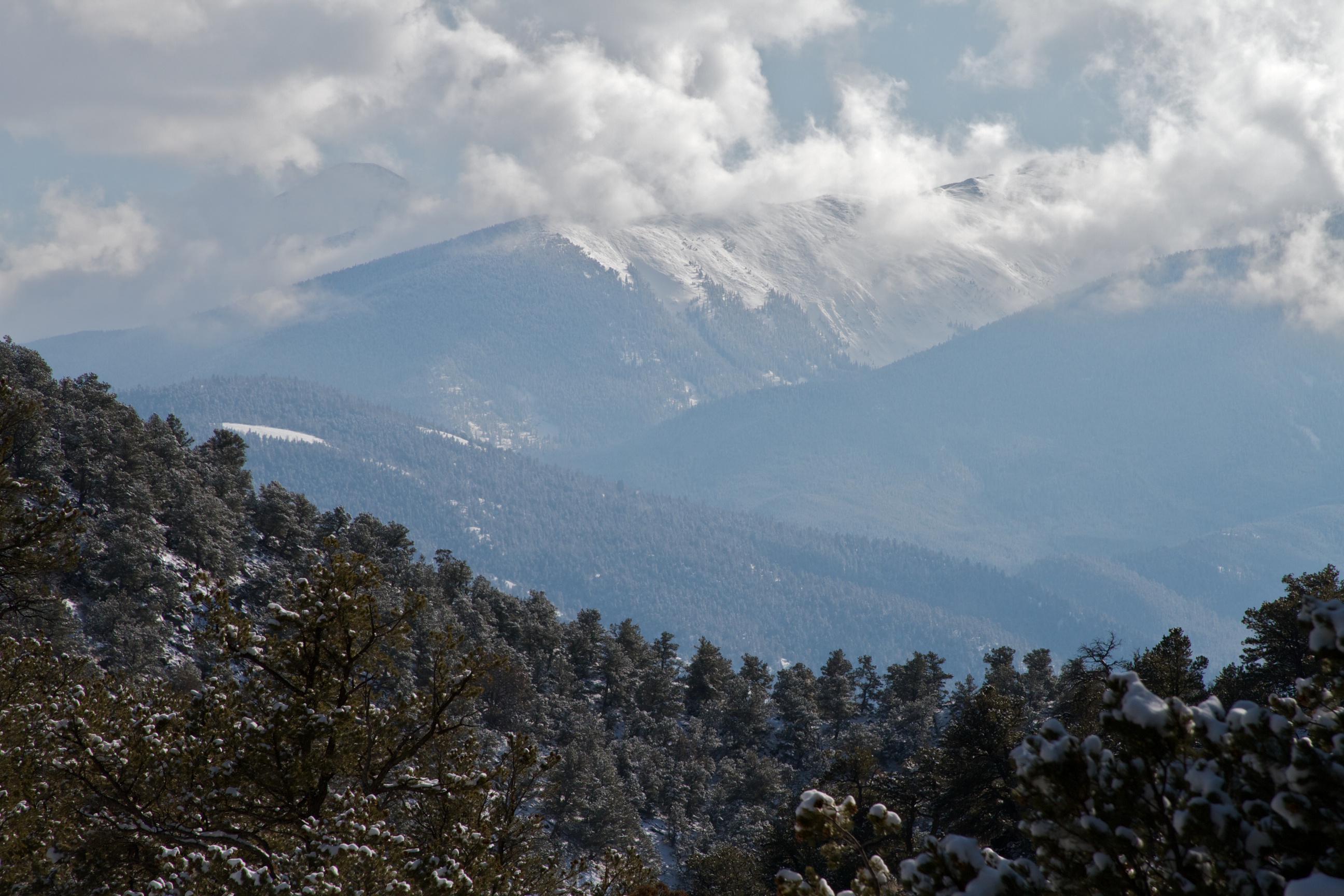
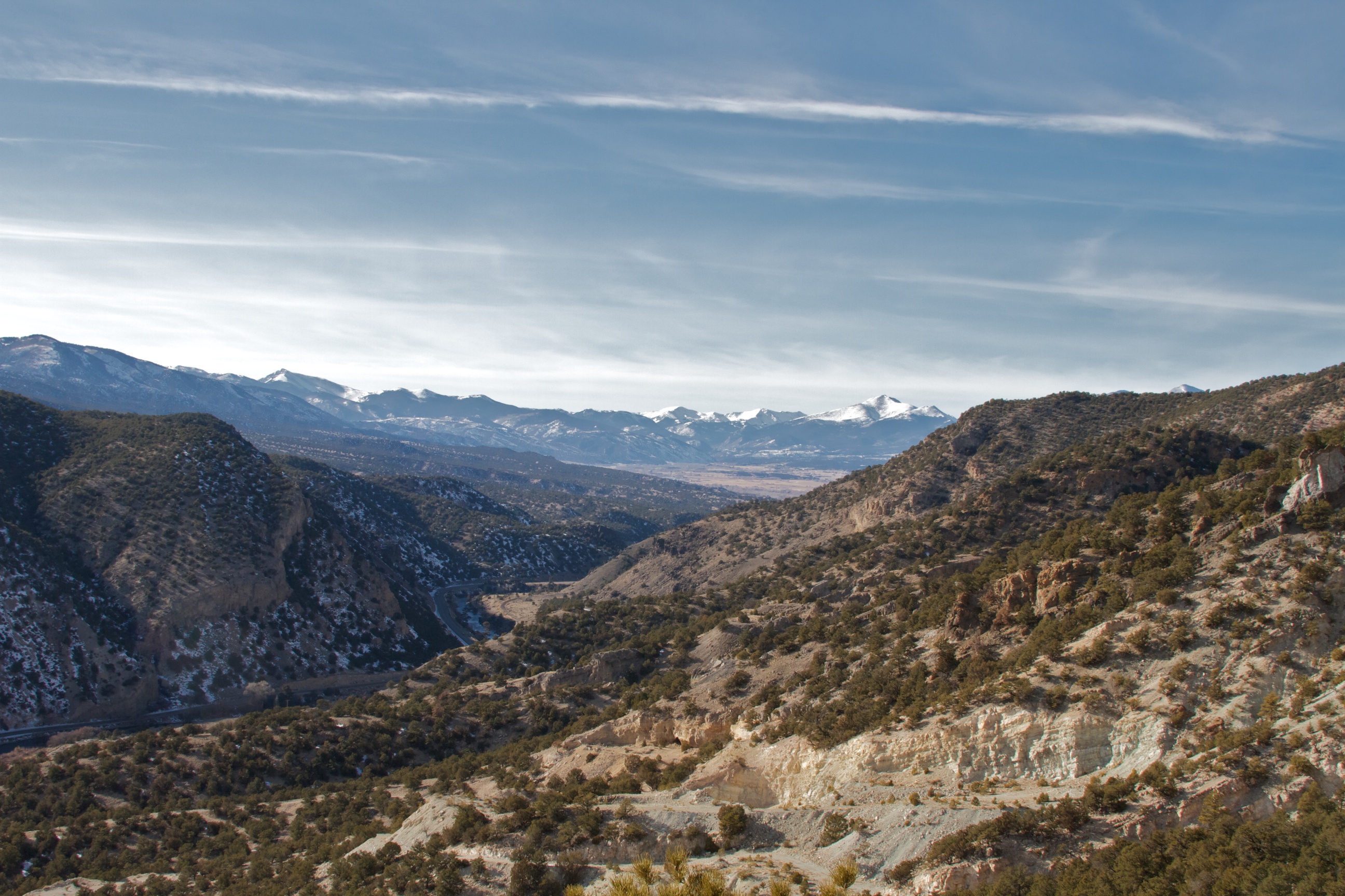
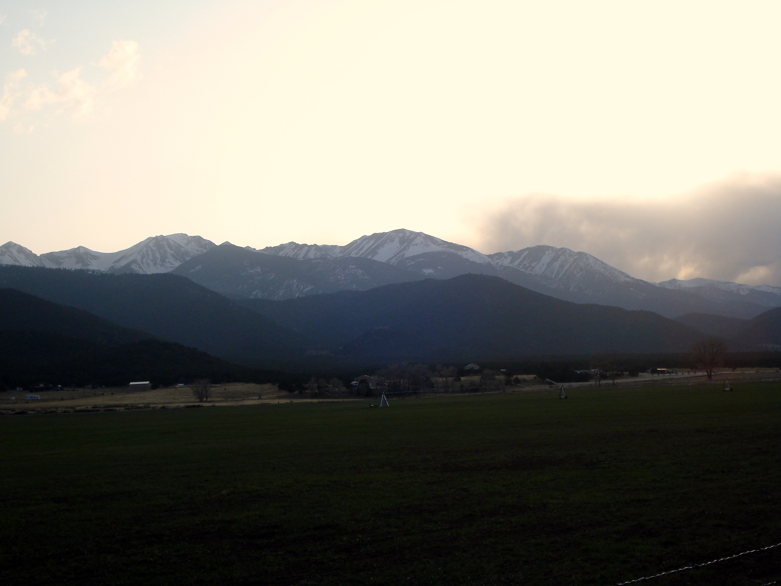
Fourteeners Over Salida
Sand and water

Sand and water

hlw921-Week 30-Water
Sand and water

Monarch Pass on US 50.
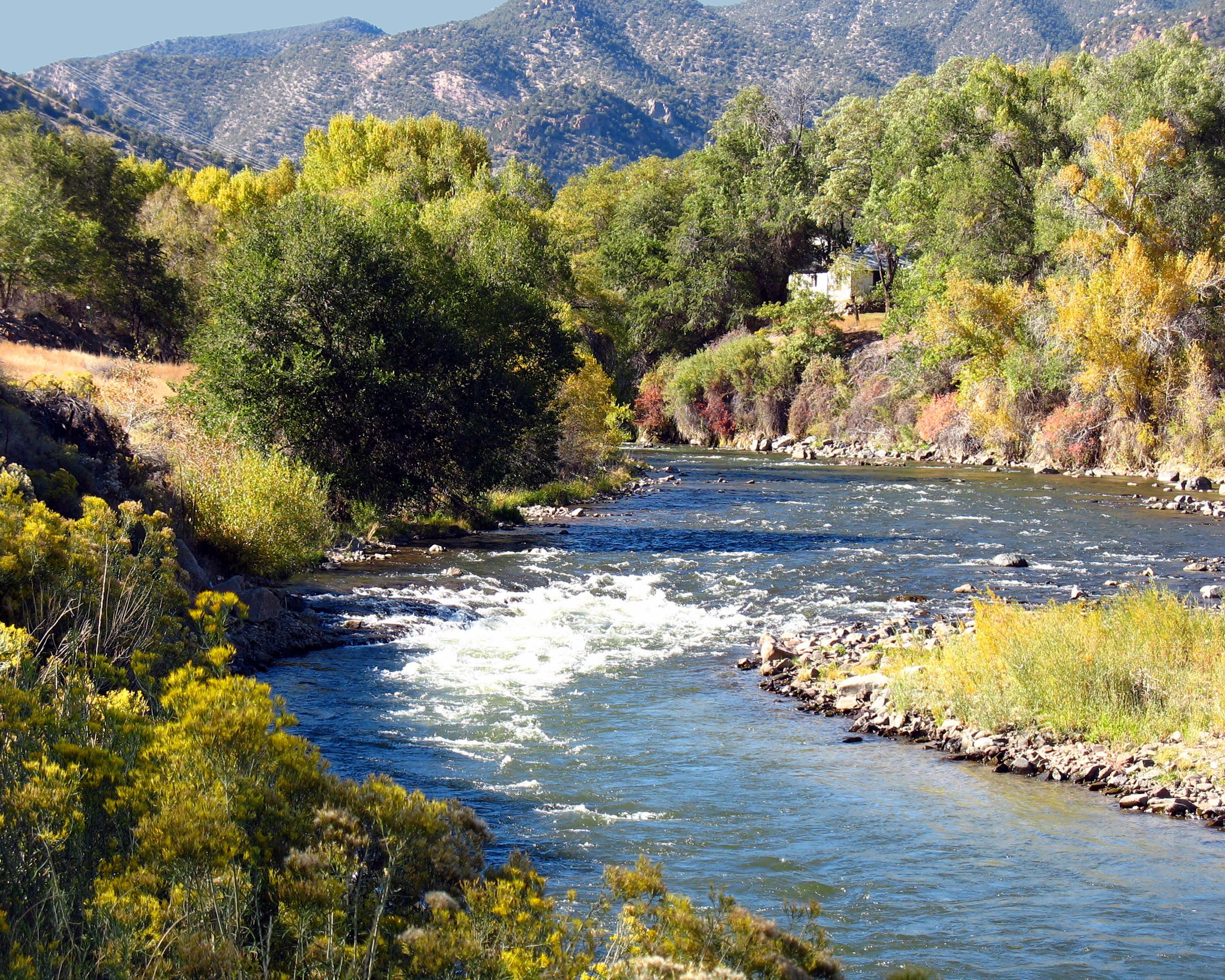
Arkansas River along Hiway 50 in Colorado, USA
P1010448.JPG
Sand and water
P1010447.JPG

Spring Creek Bridge
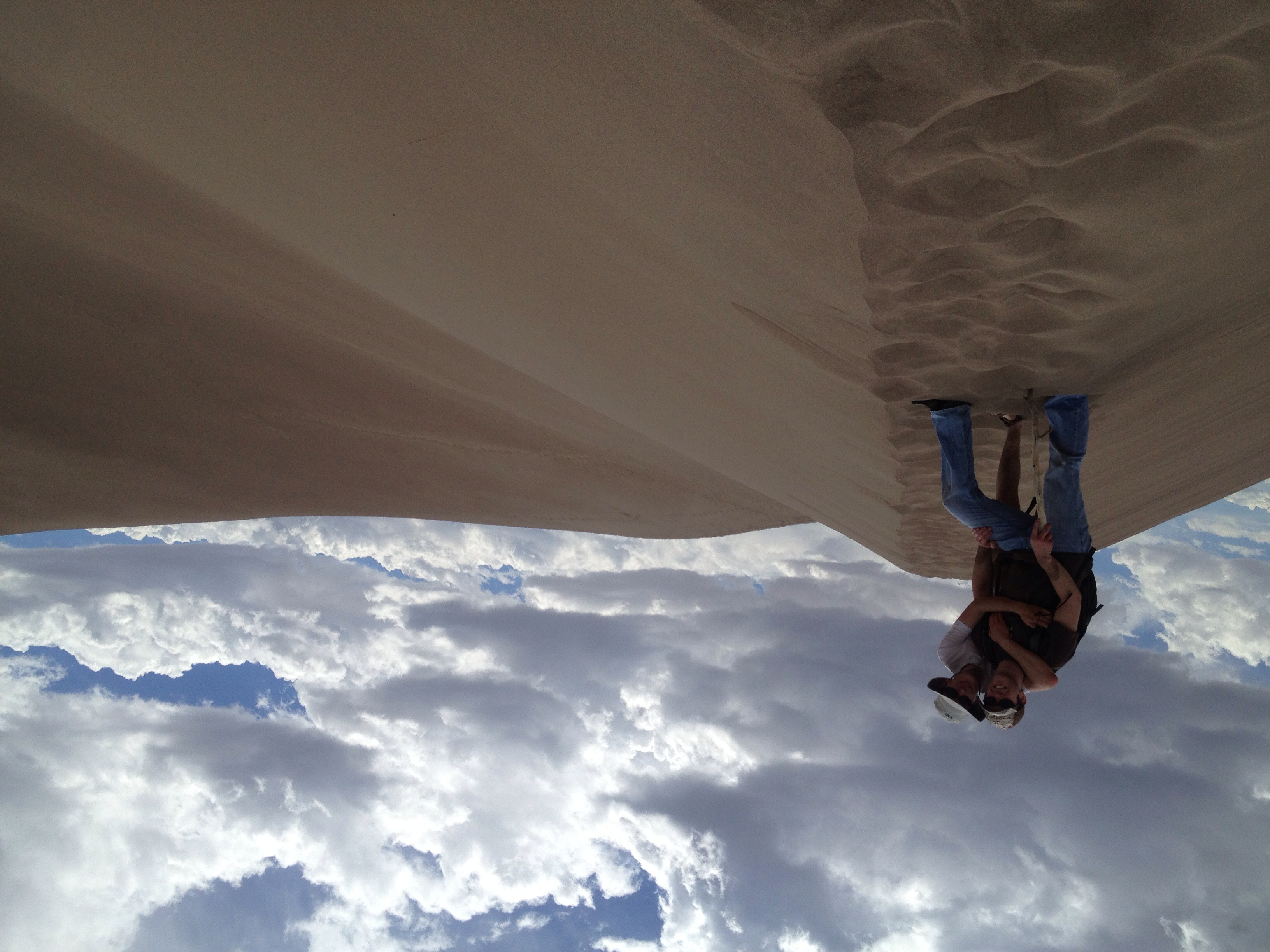
Sand and water

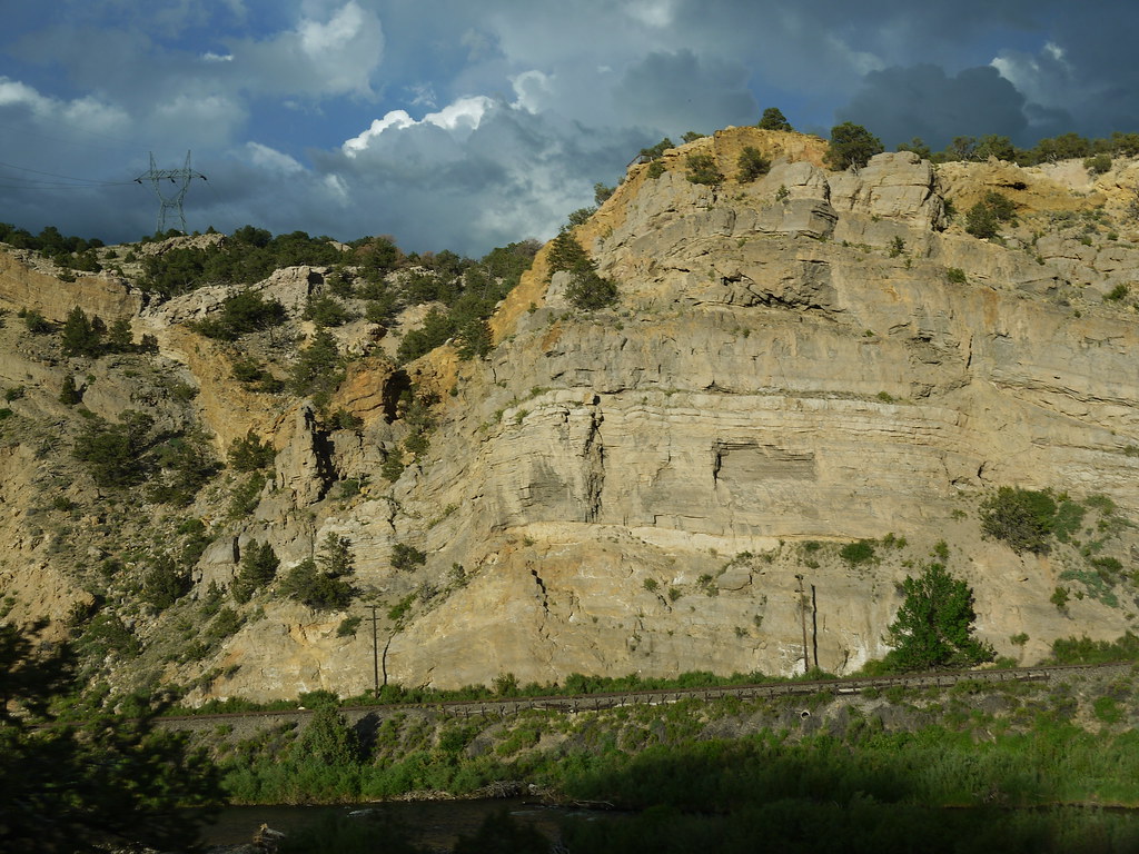
Tunnel Along Ex-DRG&W Royal Gorge Route

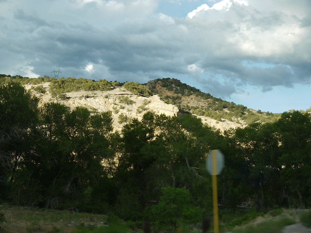
US 50 east of Salida
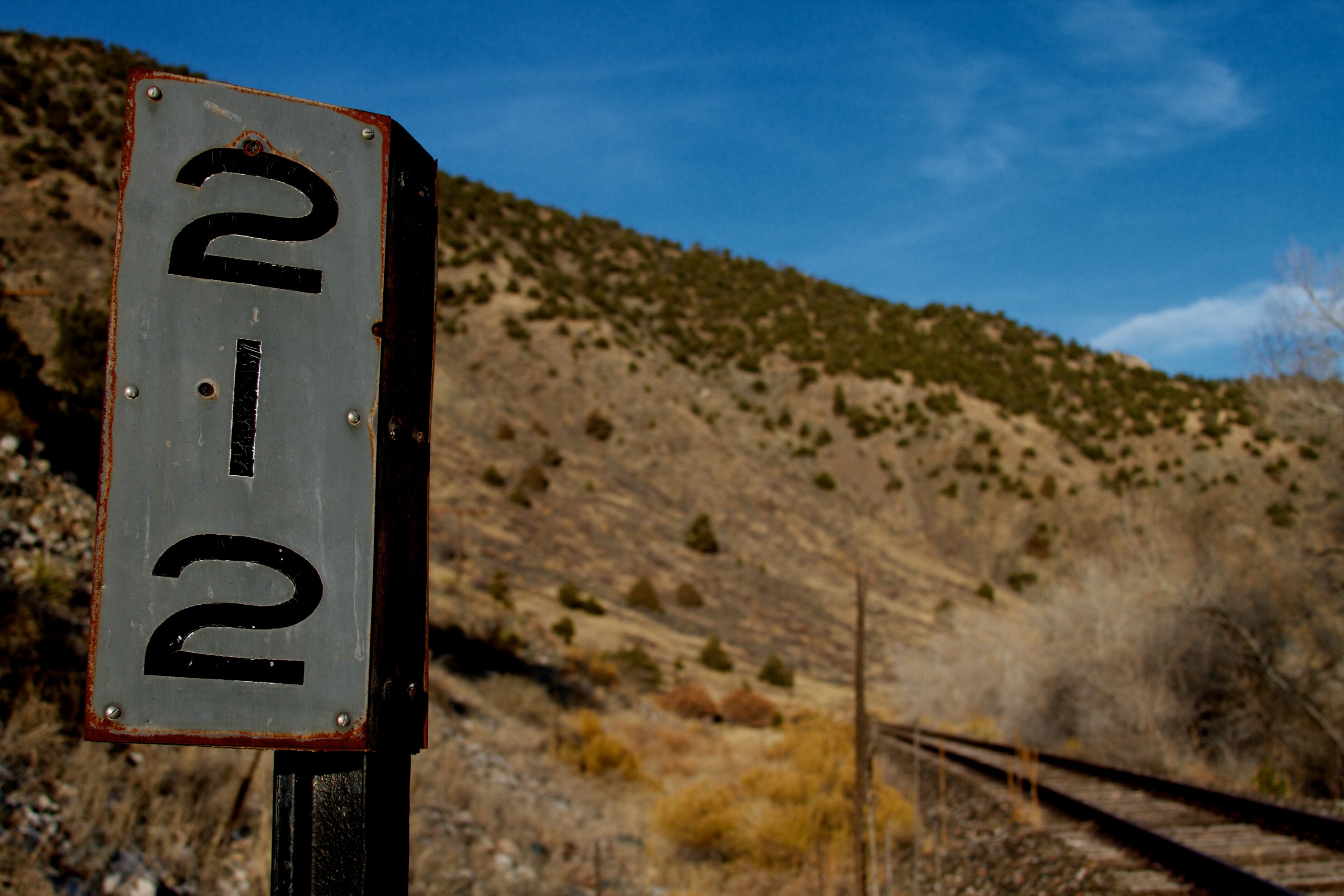
Mile Marker
us_trip 067
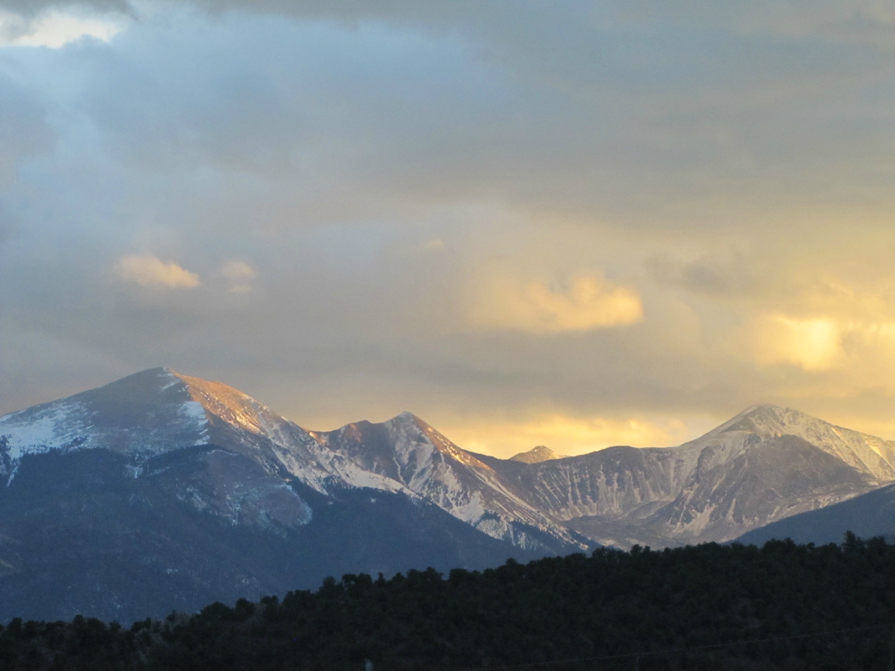
Dusk of the Sangre de Cristo Range
Topographic Map of 15 Co Rd 4, Howard, CO, USA
Find elevation by address:

Places near 15 Co Rd 4, Howard, CO, USA:
Zagia's Apothecary Farm
Howard
368 Pinon Hills Dr
9329 Us-50
9362 Us-50
35 Shillelagh Pl
35 Shillelagh Pl
County Road 48
41 Shillelagh Pl
Shillelagh Place
460 Scenic Ln
Middle Camp Road
4821 Knotty Pine Rd
4821 Knotty Pine Rd
4821 Knotty Pine Rd
Howard, CO, USA
Co Rd 7, Salida, CO, USA
Wellsville
Hunts Peak
Mount Otto
Recent Searches:
- Elevation of Jadagoniai, Kaunas District Municipality, Lithuania
- Elevation of Pagonija rock, Kranto 7-oji g. 8"N, Kaunas, Lithuania
- Elevation of Co Rd 87, Jamestown, CO, USA
- Elevation of Tenjo, Cundinamarca, Colombia
- Elevation of Côte-des-Neiges, Montreal, QC H4A 3J6, Canada
- Elevation of Bobcat Dr, Helena, MT, USA
- Elevation of Zu den Ihlowbergen, Althüttendorf, Germany
- Elevation of Badaber, Peshawar, Khyber Pakhtunkhwa, Pakistan
- Elevation of SE Heron Loop, Lincoln City, OR, USA
- Elevation of Slanický ostrov, 01 Námestovo, Slovakia