Elevation of Shillelagh Place, Shillelagh Pl, Howard, CO, USA

Location: United States > Colorado > Fremont County > Howard >

Longitude: -105.82329

Latitude: 38.4259613

Elevation: 2090m / 6857feet

Barometric Pressure: 79KPa

Elevation Map:

elevation map of Shillelagh Place, Shillelagh Pl, Howard, CO, USA

Satellite Map:

Satellite map of Shillelagh Place, Shillelagh Pl, Howard, CO, USA

Related Photos:

canonefs1022mmf3545usm
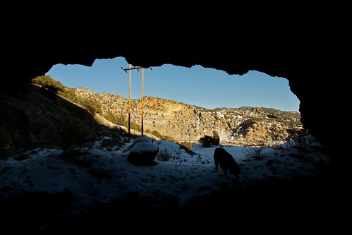
View from the Mine
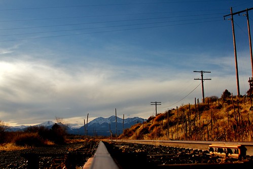
View from the Rails
plane airplane geotagged colorado peak aerial shot18 pikespeak 199901a image:Shot=18 camera:model=eoselan event:Type=travel event:Group=joes image:NegPage=0285 image:Roll=960 event:Code=199901a
View From Airplane
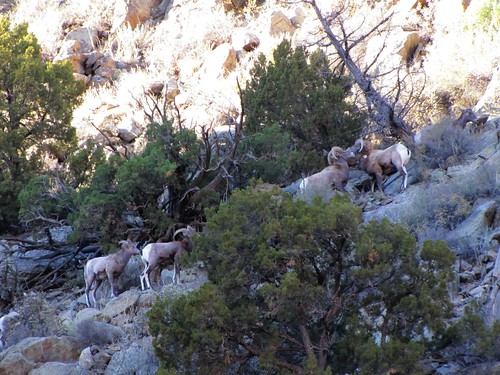
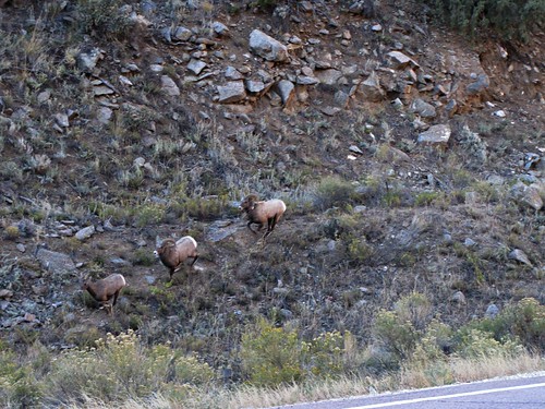
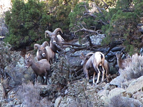
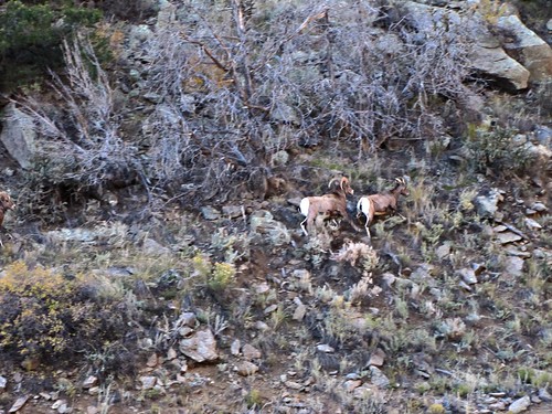
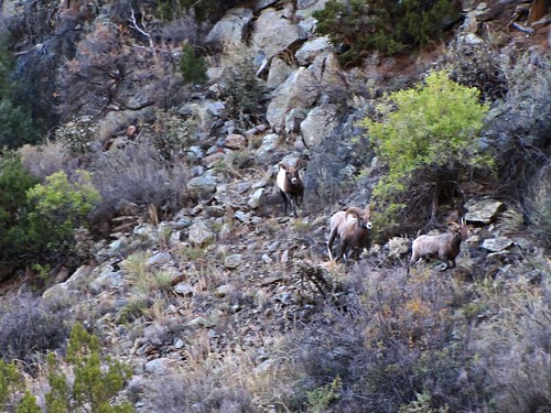
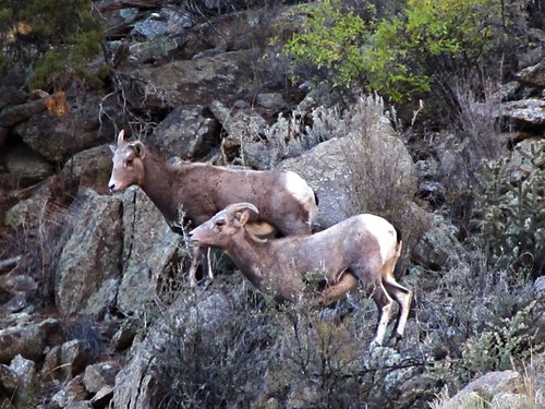
rural colorado wildlife earlymorning canyon rut bighornsheep bighornsheepcanyon
The Rut (1 of 6)
canonef28135mmf3556is
view back towards the railroad
canonef28135mmf3556is
View Back Towards Salida from Wellsville
rural colorado wildlife earlymorning canyon rut bighornsheep bighornsheepcanyon
The rut (6 of 6)
rural colorado wildlife earlymorning canyon rut bighornsheep bighornsheepcanyon
The rut (3 of 6)
canonefs1022mmf3545usm
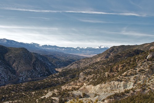
View from Badger Creek Bridge
rural colorado wildlife earlymorning canyon rut bighornsheep bighornsheepcanyon
The rut (5 of 6)
rural colorado wildlife earlymorning canyon rut bighornsheep bighornsheepcanyon
The rut (4 of 6)
rural colorado wildlife earlymorning canyon rut bighornsheep bighornsheepcanyon
The rut (2 of 6)
square squareformat iphoneography instagramapp uploaded:by=instagram
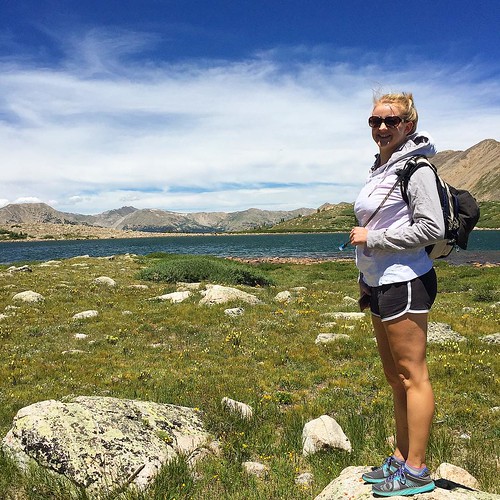
Happy birthday Shannon! ???? I love you so much! Enjoying the view at Pomeroy Lake at 12,000 feet elevation after a nice hike from our camp. #mountainview #mountains #colorado #hike #backcountry #jeep #jeepcountry #pomeroylakes #buenavista #camping
winter sky snow mountains rural colorado earlymorning us50 cotopaxi bighornsheepcanyon
Early winter morning in Cotopaxi
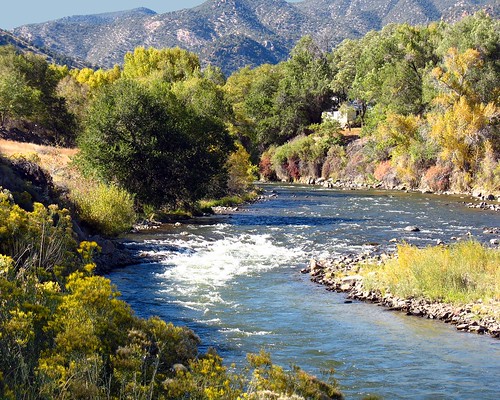
autumn favorite fall beautiful river colorado gorgeous september specland abigfave firsttheearth flickrphotoaward
Arkansas River along Hiway 50 in Colorado, USA
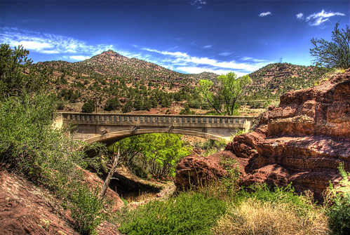
bridge blue trees sky clouds landscape colorado rocks arch arches historic salida hdr springcreek bridging photomatix 200805 bridgepixing bridgepix
Spring Creek Bridge
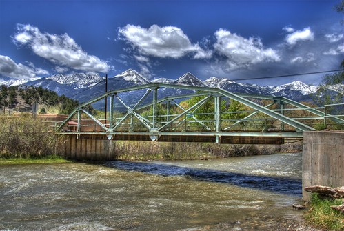
bridge blue sky snow mountains water clouds landscape colorado howard steel historic span hdr arkansasriver bridging truss photomatix 200805 bridgepixing fremontcounty bridgepix cr47 visiongroup easthoward countyroad47
East Howard Bridge, Howard, Colorado
sarah colorado buddy cotopaxi
Picture 012
sarah colorado buddy cotopaxi
Picture 015
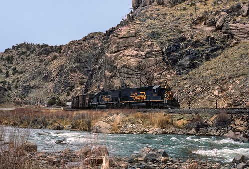
denverandriograndewestern drgw riogrande freight river emd sd40t2 5400 arkansasriver vallie cotopaxi colorado cliffs train railroad tennesseepass locomotive co tunnelmotor
Cotopaxi bound
P1010448.JPG
P1010447.JPG
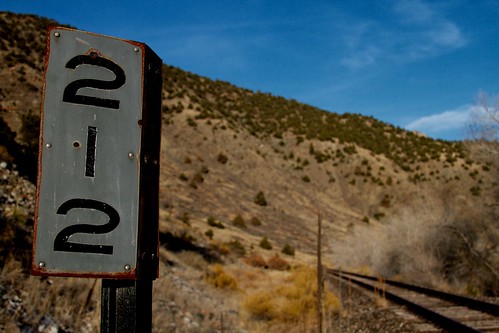
Mile Marker
us_trip 067
lasmdw
Arkansas River Near Howard, Colorado
sunset mountains clouds rural colorado dusk howard sangredecristomountains
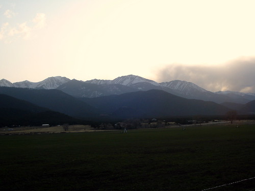
Dusk of the Sangre de Cristo Range
lasmdw
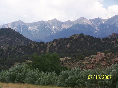
Sangre de Cristo Range, Near Salida, Colorado
canonef28135mmf3556is
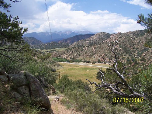
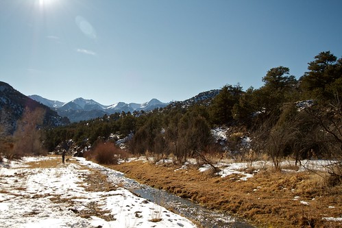
down the trail
rock colorado desert howard salida
Rock and Faint Rainbow
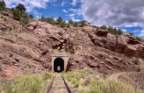
railroad rio grande colorado pacific union royal tunnel route salida gorge
Tunnel Along Ex-DRG&W Royal Gorge Route
canonefs1022mmf3545usm
Badger Creek
butterflies checkerspot sagebrushcheckerspot
Sagebrush Checkerspot