Elevation of Zaatari Village, Jordan
Location: Jordan > Mafraq Governorate > North West Badiah District >
Longitude: 36.3012705
Latitude: 32.310714
Elevation: 657m / 2156feet
Barometric Pressure: 94KPa
Elevation Map:
Satellite Map:
Related Photos:
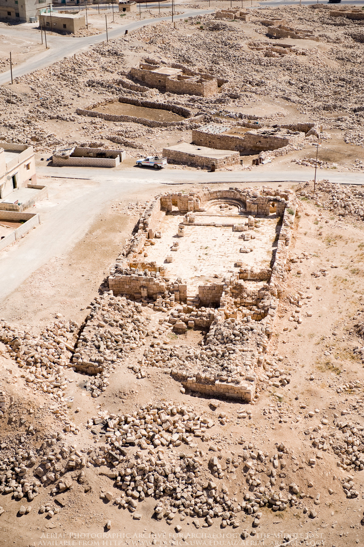
Panorama | Umm el-Jimal
Hayyan al-Mashrif
Hayyan al-Mashrif
Hayyan al-Mashrif

Mafraq-70
Mafraq-91
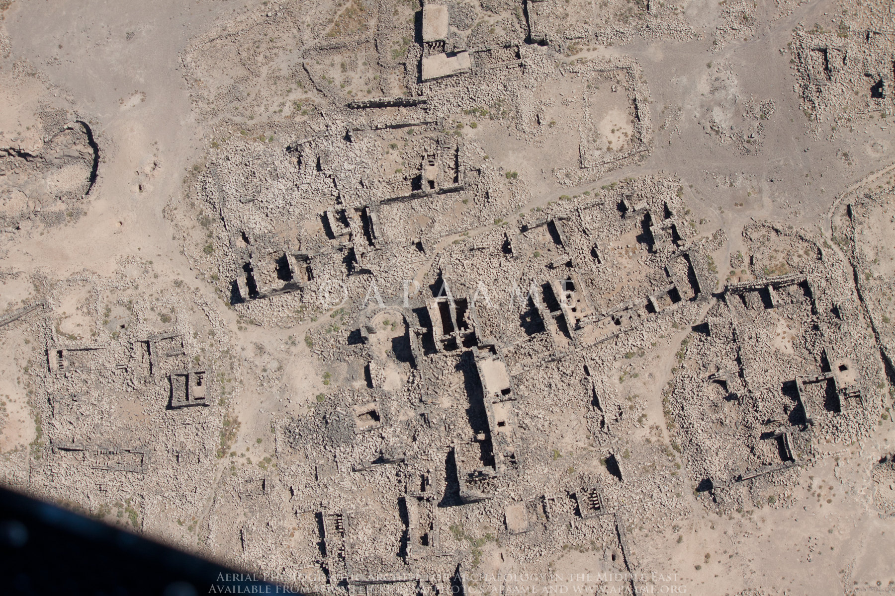
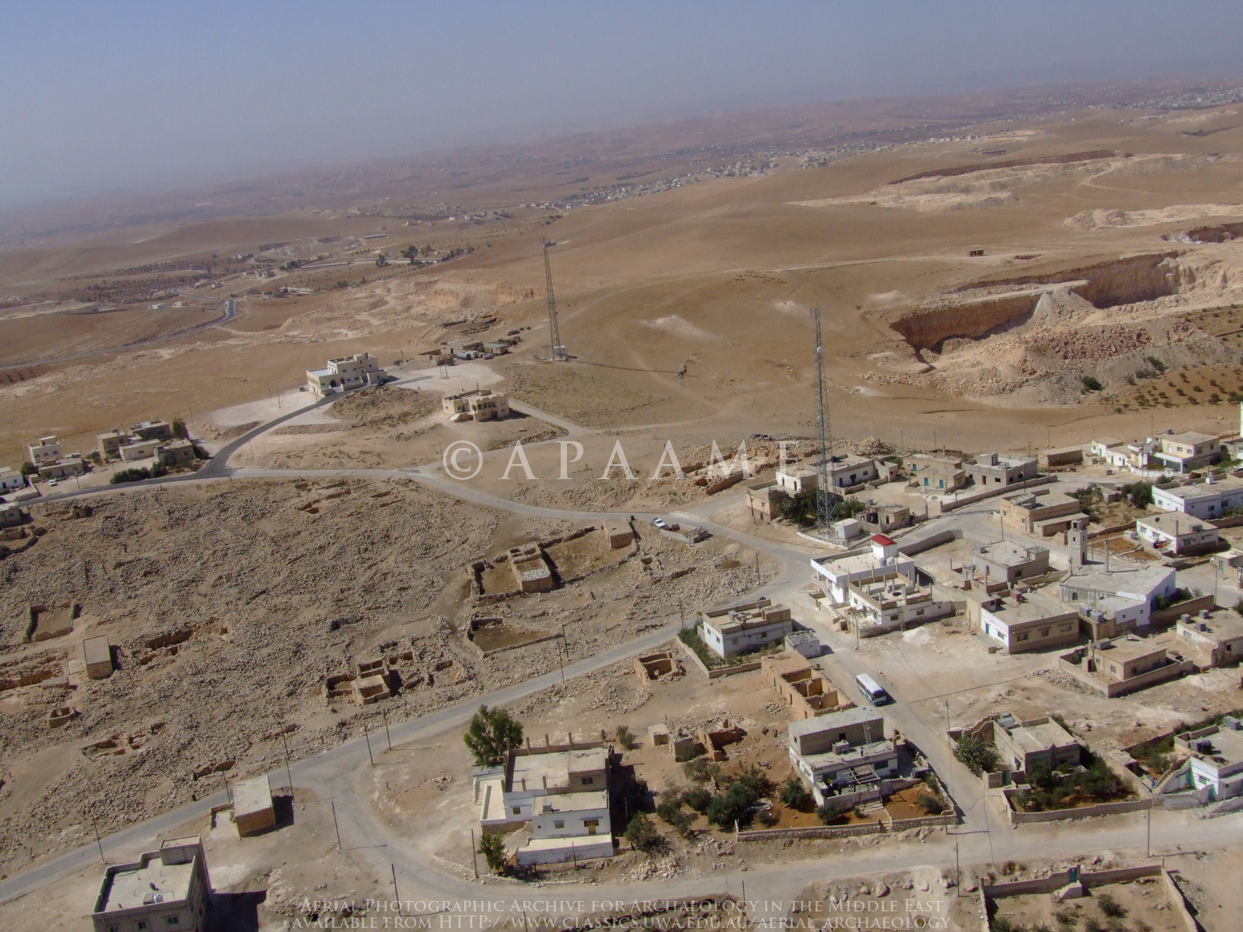
Umm el-Jimal
Mafraq-107

Hayyan al-Mashrif
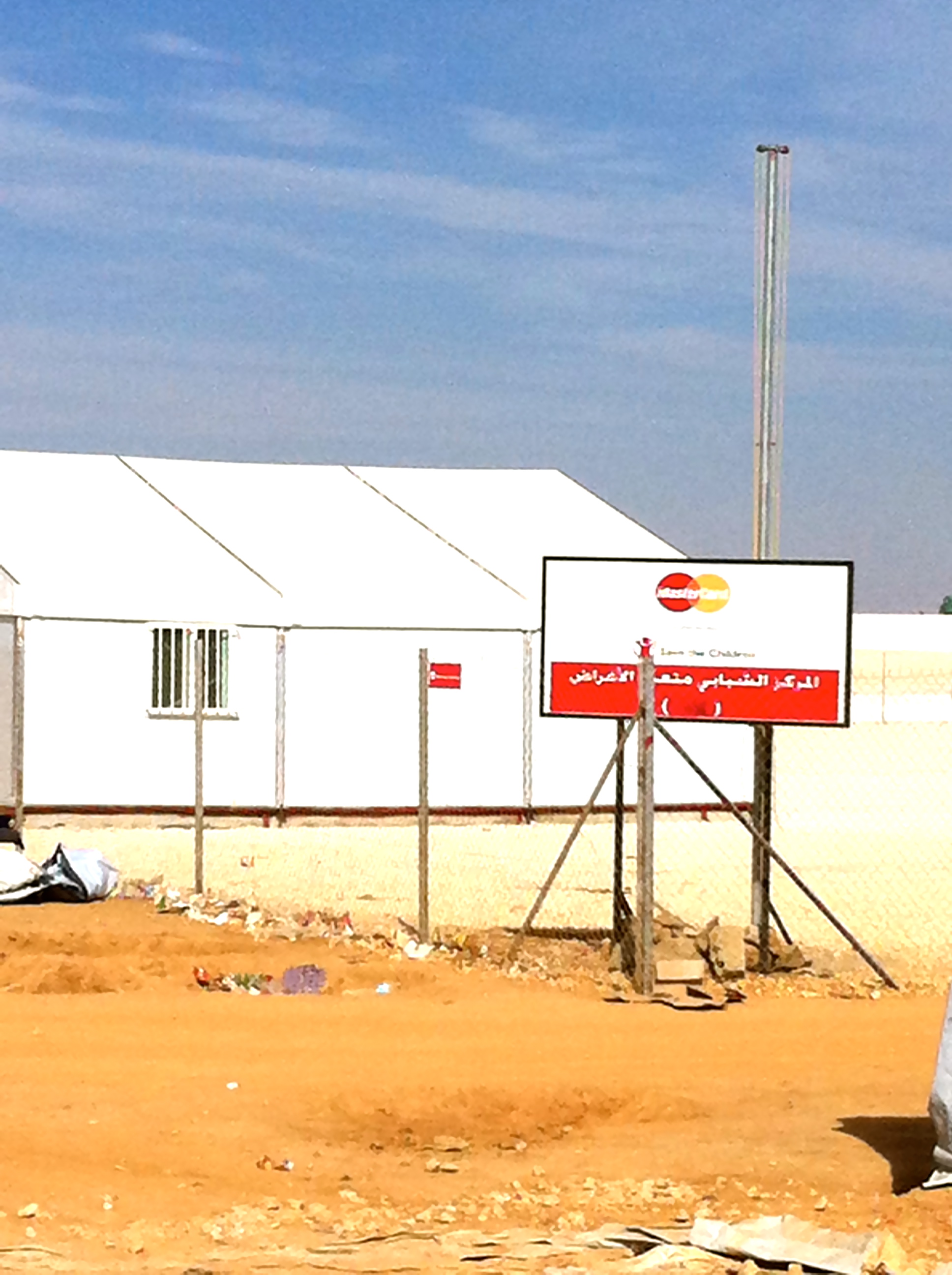
Master card..
Mafraq-32
Mafraq-106
Hayyan al-Mashrif
Umm el-Jimal
Hayyan al-Mashrif
Jimal VNT
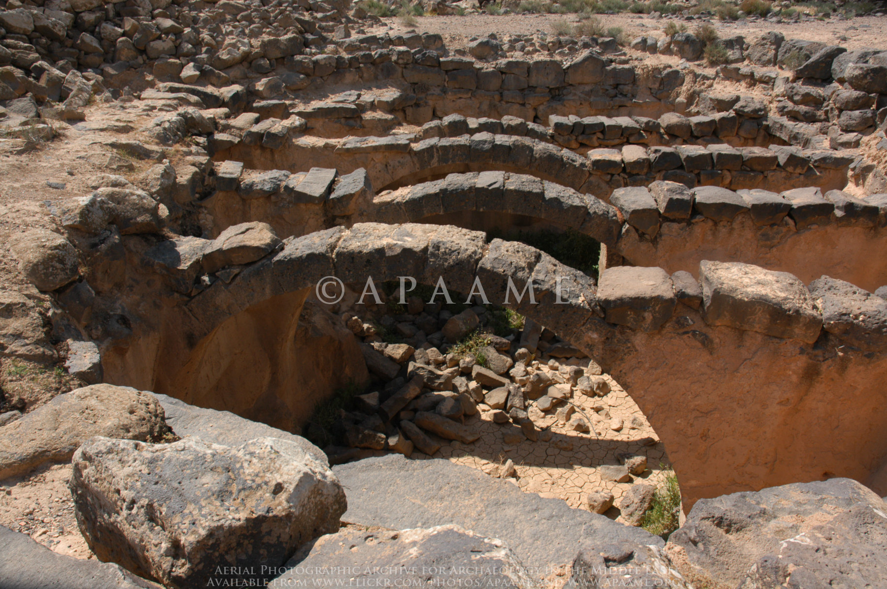
Jimal Site 5 (J640)
Mafraq-45
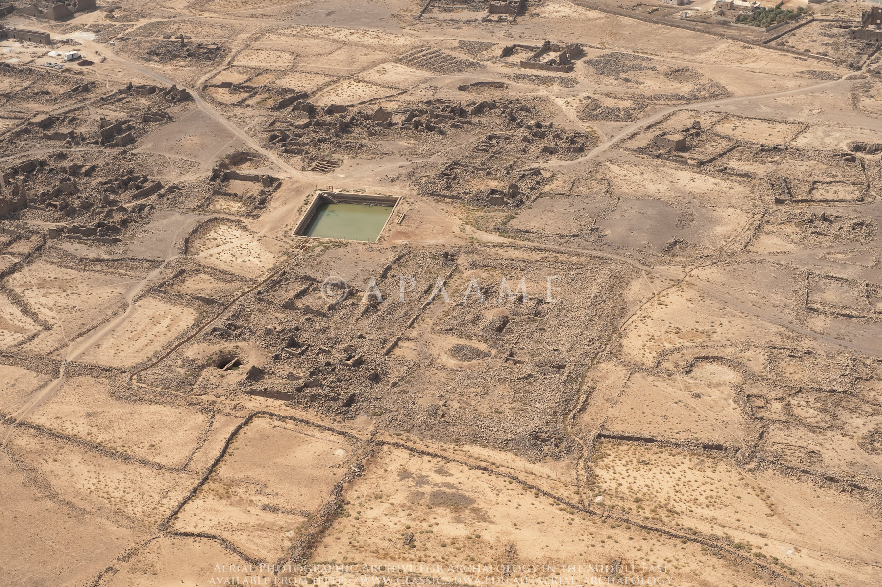
Umm el-Jimal
Mafraq-39

Mafraq-76
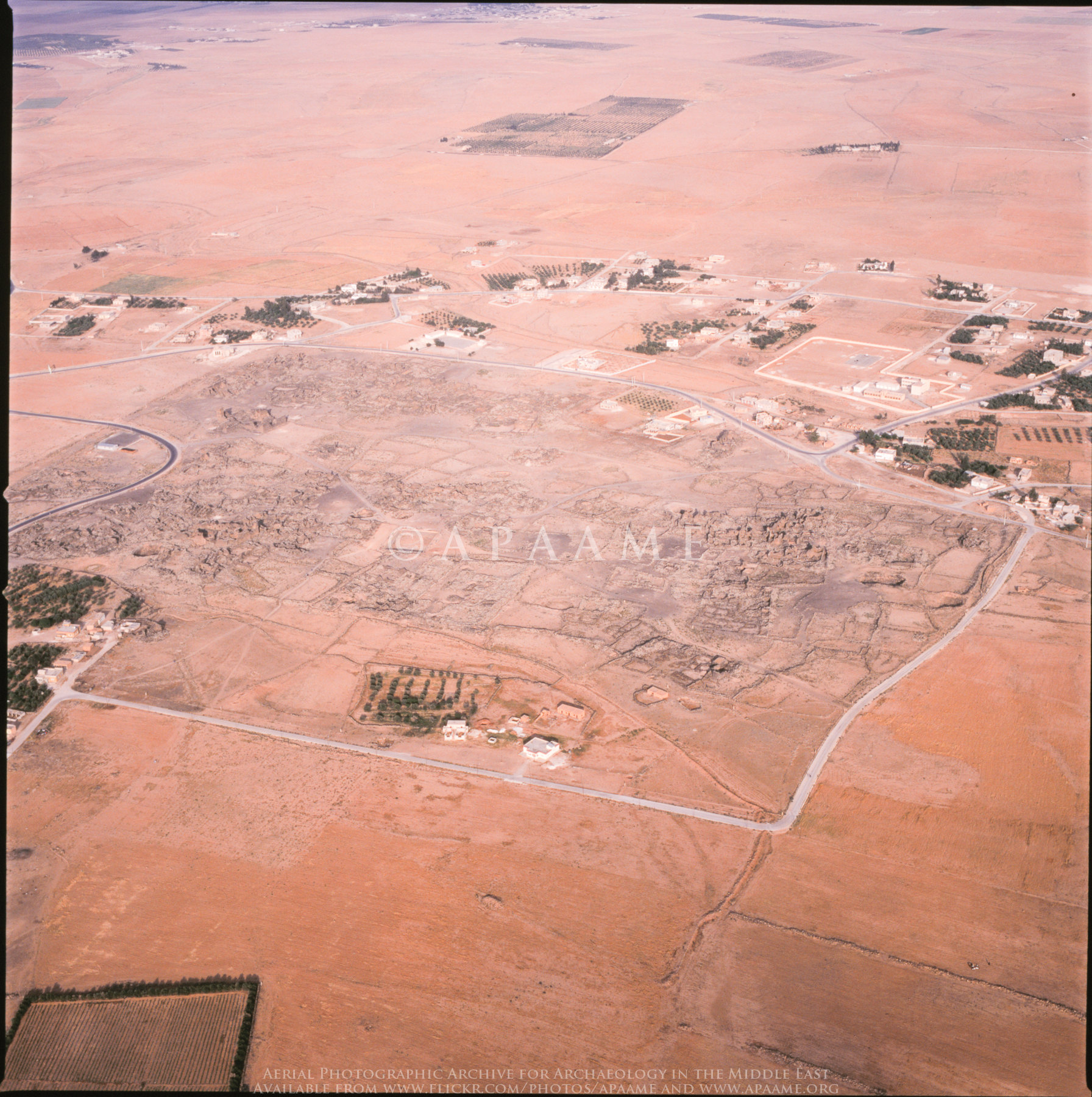
Umm el-Jimal
Topographic Map of Zaatari Village, Jordan
Find elevation by address:

Places in Zaatari Village, Jordan:
Places near Zaatari Village, Jordan:
North West Badiah District
Zaatri Refugee Camp
Mafraq Governorate
Al-mafraq
Khaldiyah Sub-district
Hashemiyah District
Hashemite - Blue
Zarqa Qasabah District
Madinat Al-sharq
Ashkelon Elementary School For Girls
Ma'asom
Zarqa Governorate
Az-zarqa
Royal Celebrations
Al Basatin
Al Zawahrah
Al Ahmad
Jarash Qasabah District
Jerash Governorate
Jerash
Recent Searches:
- Elevation of 3 Nestling Wood Dr, Long Valley, NJ, USA
- Elevation of Ilungu, Tanzania
- Elevation of Yellow Springs Road, Yellow Springs Rd, Chester Springs, PA, USA
- Elevation of Rēzekne Municipality, Latvia
- Elevation of Plikpūrmaļi, Vērēmi Parish, Rēzekne Municipality, LV-, Latvia
- Elevation of 2 Henschke Ct, Caboolture QLD, Australia
- Elevation of Redondo Ave, Long Beach, CA, USA
- Elevation of Sadovaya Ulitsa, 20, Rezh, Sverdlovskaya oblast', Russia
- Elevation of Ulitsa Kalinina, 79, Rezh, Sverdlovskaya oblast', Russia
- Elevation of 72-31 Metropolitan Ave, Middle Village, NY, USA