Elevation of Madinat Al-Sharq, Zarqa, Jordan
Location: Jordan > Zarqa Governorate > Az-zarqa >
Longitude: 36.1211976
Latitude: 32.062828
Elevation: 601m / 1972feet
Barometric Pressure: 94KPa
Elevation Map:
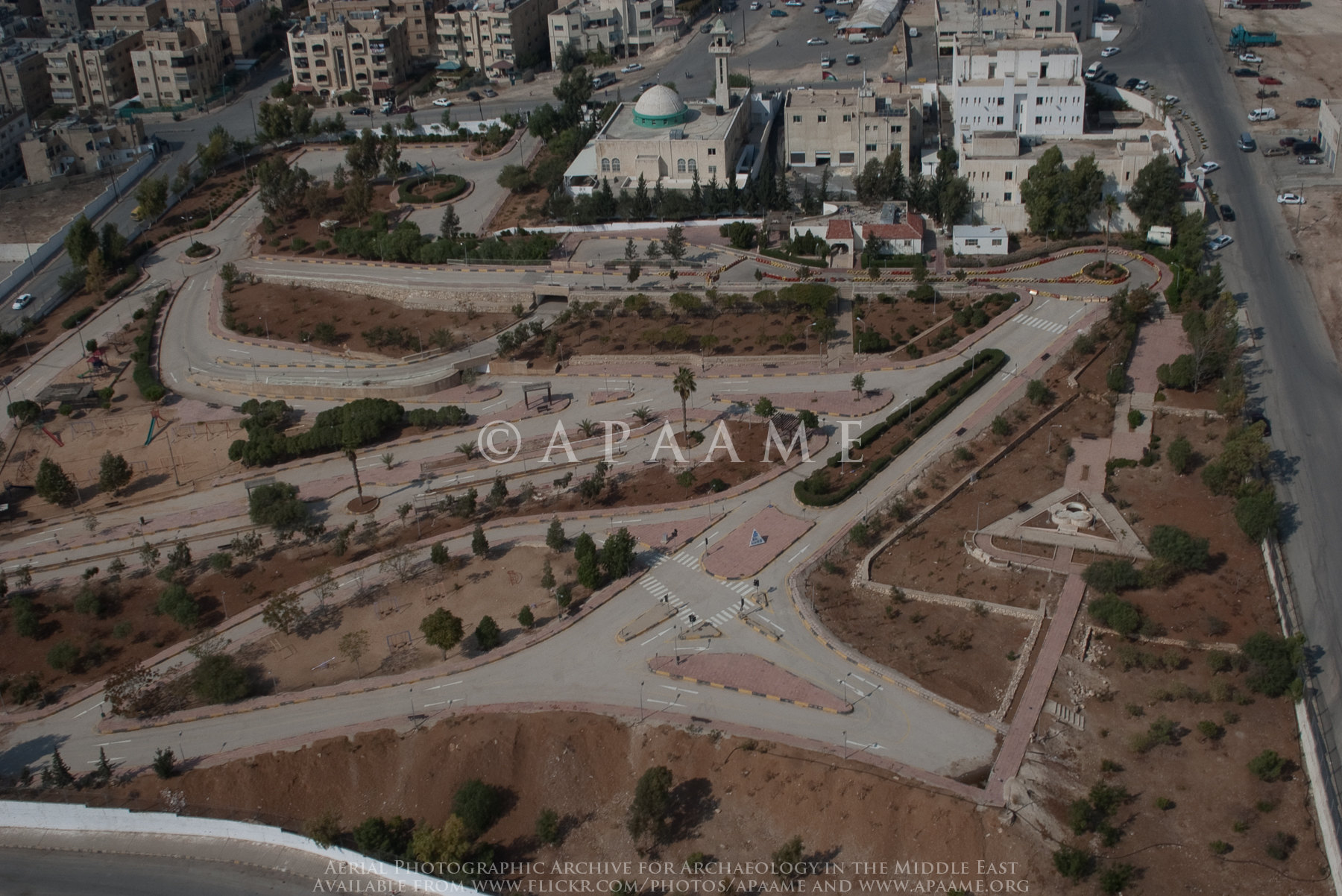
Satellite Map:
Related Photos:

View North East near Abdullah Air Base

Marka General View

Marka General View

Zarqa Tower? 4

Zarqa Tower? 4

Tell al-Birah

Zarqa Tower? 4

Suwaylih Enclosure 1

Zarqa Tower? 3

Sahab Bus Scrapyard

Zarqa Tower? 3
Marka Driving School

Zarqa Tower? 3

Zarqa; Landscape

Al Ghabawi Landfill, Amman, Jordan

Marka area

Al Ghabawi Landfill, Amman, Jordan

Amman area

Al Ghabawi Landfill, Amman, Jordan

Sahab Quarry 3

Zarqa Tower? 4

Zarqa Cairn? 8

Suwaylih area

Al Ghabawi Landfill, Amman, Jordan
Topographic Map of Madinat Al-Sharq, Zarqa, Jordan
Find elevation by address:

Places in Madinat Al-Sharq, Zarqa, Jordan:
Places near Madinat Al-Sharq, Zarqa, Jordan:
Zarqa Governorate
Az-zarqa
Zarqa Qasabah District
Hashemite - Blue
Ma'asom
Royal Celebrations
Ashkelon Elementary School For Girls
Al Basatin
Al Zawahrah
Hashemiyah District
Al Ahmad
Abu Alia
Tabarbour
Tareq
Abu Nseir
Al Basalah
Abu Nsair Shopping Center
Queen Rania Street
Al Tla'a Al Shamali
Tlaa Alali Hospital
Recent Searches:
- Elevation of Congressional Dr, Stevensville, MD, USA
- Elevation of Bellview Rd, McLean, VA, USA
- Elevation of Stage Island Rd, Chatham, MA, USA
- Elevation of Shibuya Scramble Crossing, 21 Udagawacho, Shibuya City, Tokyo -, Japan
- Elevation of Jadagoniai, Kaunas District Municipality, Lithuania
- Elevation of Pagonija rock, Kranto 7-oji g. 8"N, Kaunas, Lithuania
- Elevation of Co Rd 87, Jamestown, CO, USA
- Elevation of Tenjo, Cundinamarca, Colombia
- Elevation of Côte-des-Neiges, Montreal, QC H4A 3J6, Canada
- Elevation of Bobcat Dr, Helena, MT, USA