Elevation of Ashkelon Elementary School for Girls, Madinat Al-Sharq, Zarqa, Jordan
Location: Jordan > Zarqa Governorate > Az-zarqa > Madinat Al-sharq > Ma'asom >
Longitude: 36.0756066
Latitude: 32.0855255
Elevation: 601m / 1972feet
Barometric Pressure: 94KPa
Elevation Map:
Satellite Map:
Related Photos:

View over Amman (Marka)

View over Amman

View over Amman

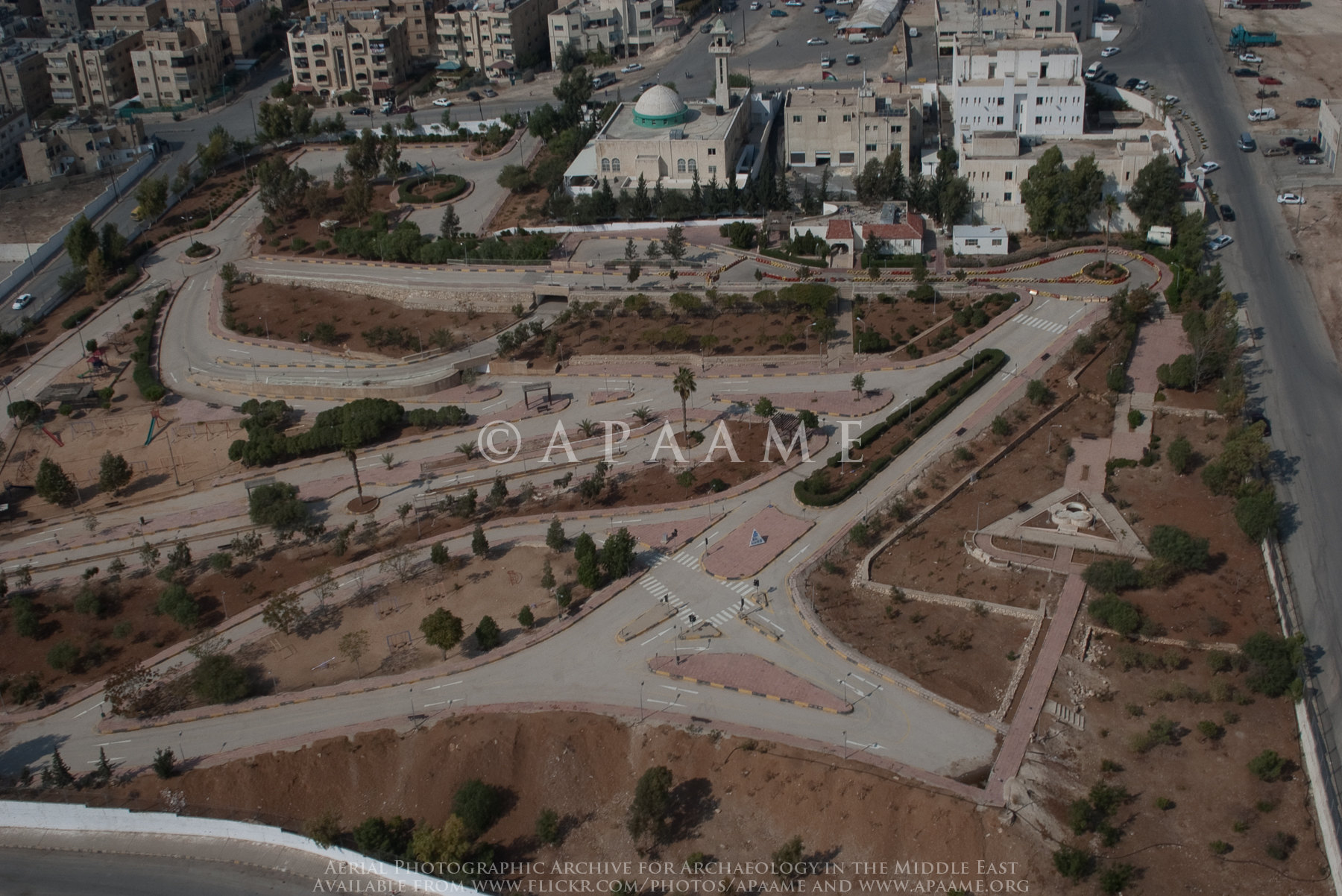
Marka General View

Marka General View

Amman Ruin 25 (Mudawarra)

Tell al-Birah

Amman area

Sahab Bus Scrapyard

Suwaylih Housing Blocks
Marka Driving School

Zarqa; Landscape

Marka area

Amman area

Sahab Quarry 3

Suwaylih area

Suwaylih area

Tell al-Birah
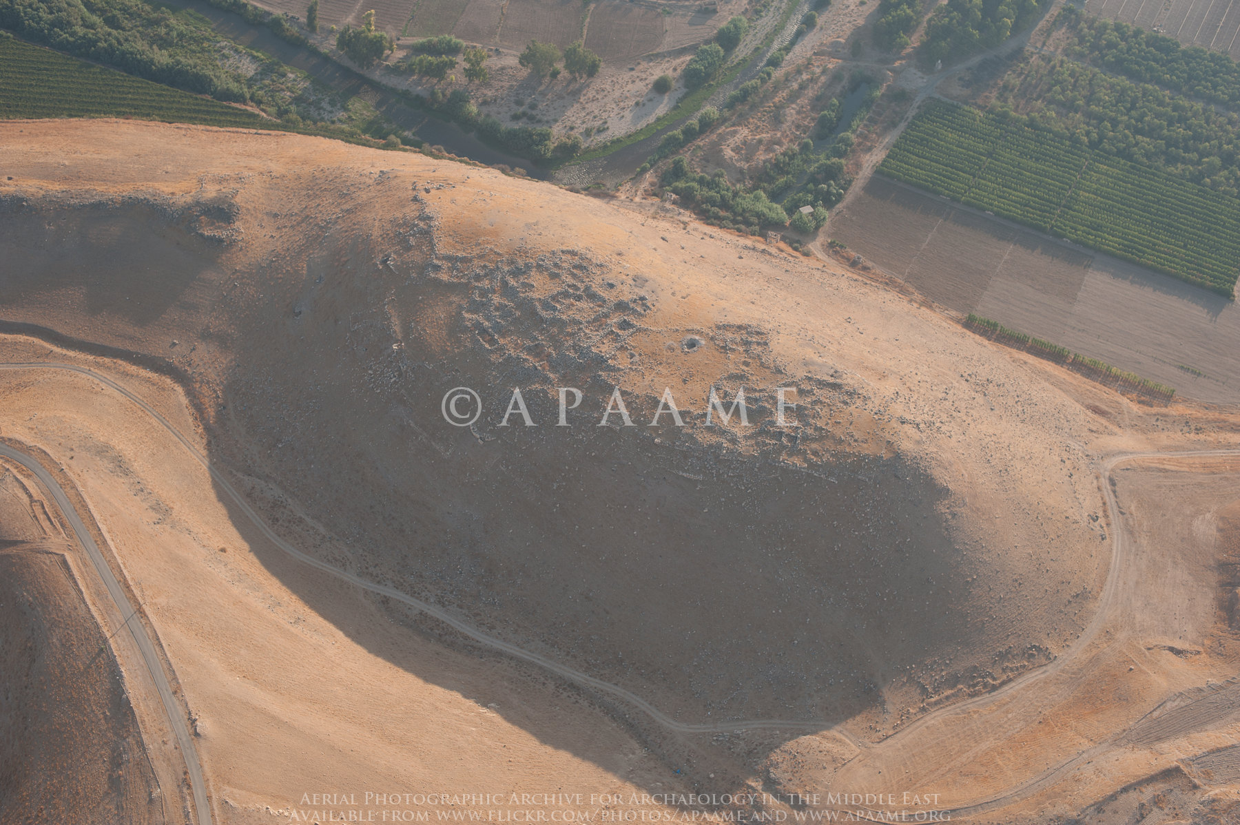
Tell al-Birah

Marka area

Zarqa Tower? 4

Tell al-Birah

Zarqa Tower? 4

Zarqa Tower? 4

Suwaylih Enclosure 1
Topographic Map of Ashkelon Elementary School for Girls, Madinat Al-Sharq, Zarqa, Jordan
Find elevation by address:

Places near Ashkelon Elementary School for Girls, Madinat Al-Sharq, Zarqa, Jordan:
Ma'asom
Royal Celebrations
Al Basatin
Al Zawahrah
Zarqa Governorate
Az-zarqa
Al Ahmad
Hashemite - Blue
Madinat Al-sharq
Hashemiyah District
Zarqa Qasabah District
Abu Alia
Tabarbour
Tareq
Abu Nseir
Al Basalah
Abu Nsair Shopping Center
Queen Rania Street
Al Tla'a Al Shamali
Tlaa Alali Hospital
Recent Searches:
- Elevation of Congressional Dr, Stevensville, MD, USA
- Elevation of Bellview Rd, McLean, VA, USA
- Elevation of Stage Island Rd, Chatham, MA, USA
- Elevation of Shibuya Scramble Crossing, 21 Udagawacho, Shibuya City, Tokyo -, Japan
- Elevation of Jadagoniai, Kaunas District Municipality, Lithuania
- Elevation of Pagonija rock, Kranto 7-oji g. 8"N, Kaunas, Lithuania
- Elevation of Co Rd 87, Jamestown, CO, USA
- Elevation of Tenjo, Cundinamarca, Colombia
- Elevation of Côte-des-Neiges, Montreal, QC H4A 3J6, Canada
- Elevation of Bobcat Dr, Helena, MT, USA