Elevation of Yoshidachō Nagimi, Uwajima-shi, Ehime-ken -, Japan
Location: Japan > Ehime Prefecture > Uwajima >
Longitude: 132.513358
Latitude: 33.2657343
Elevation: 11m / 36feet
Barometric Pressure: 101KPa
Elevation Map:
Satellite Map:
Related Photos:
IMG_2142

黄昏色に染まる真珠筏
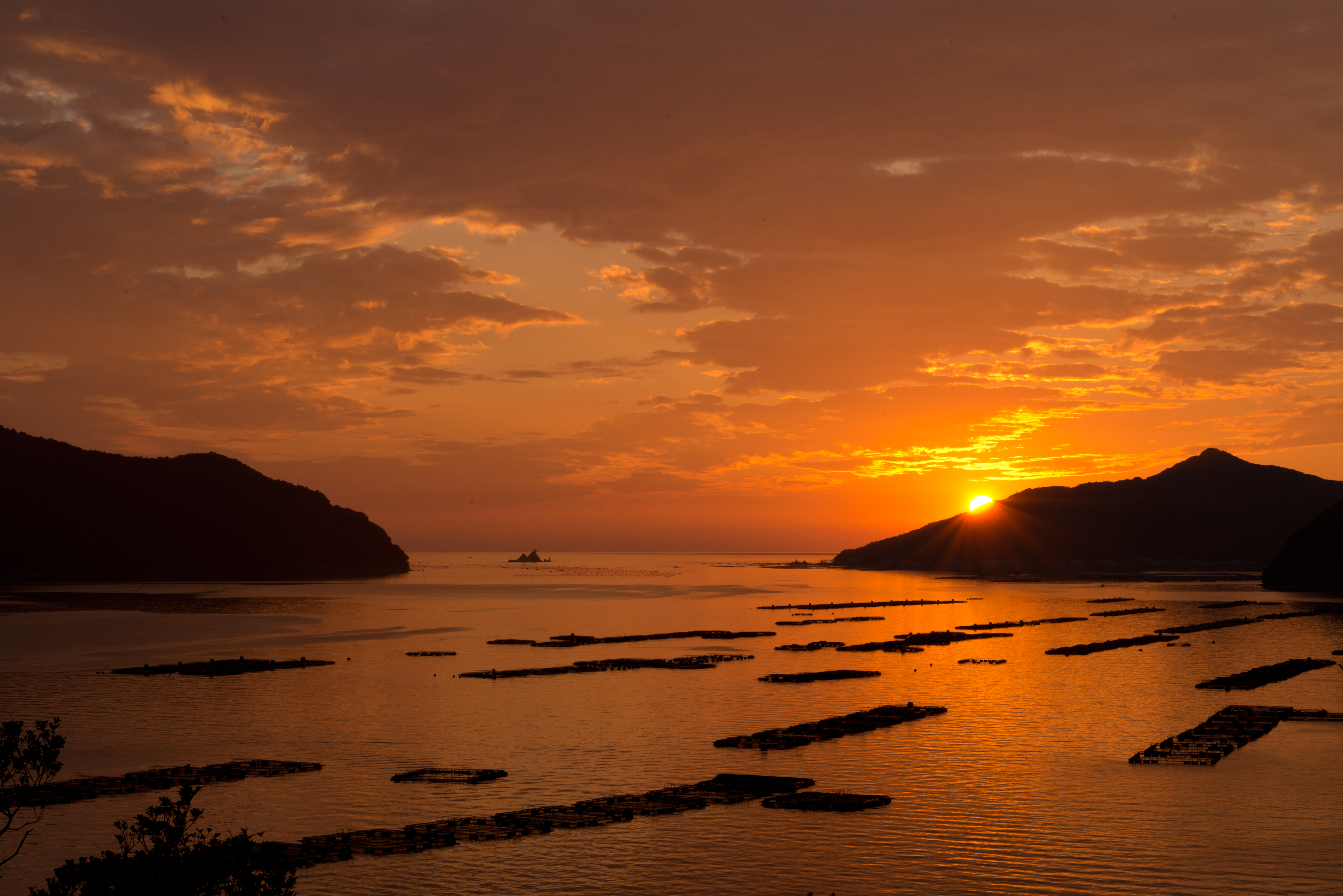
Sunset at the camp
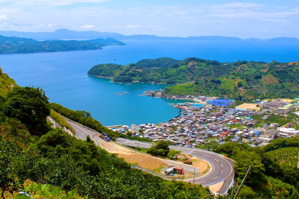
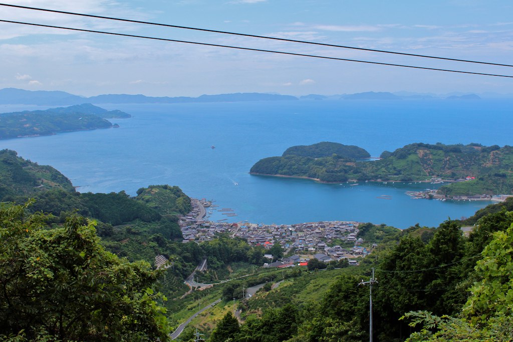
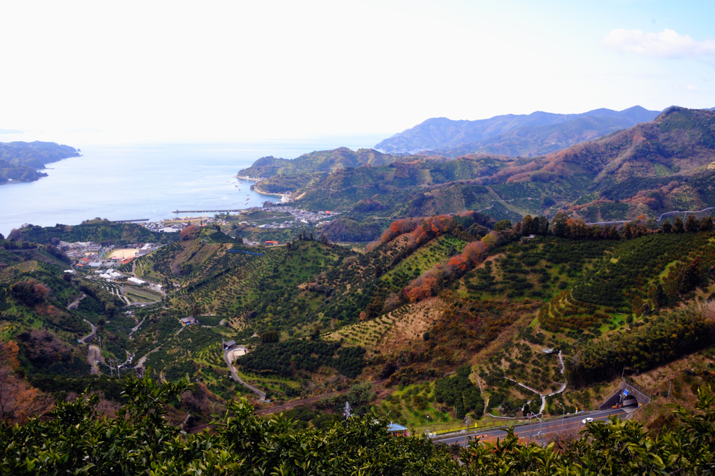
明浜
明浜
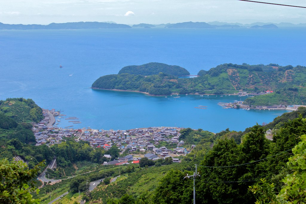
明浜
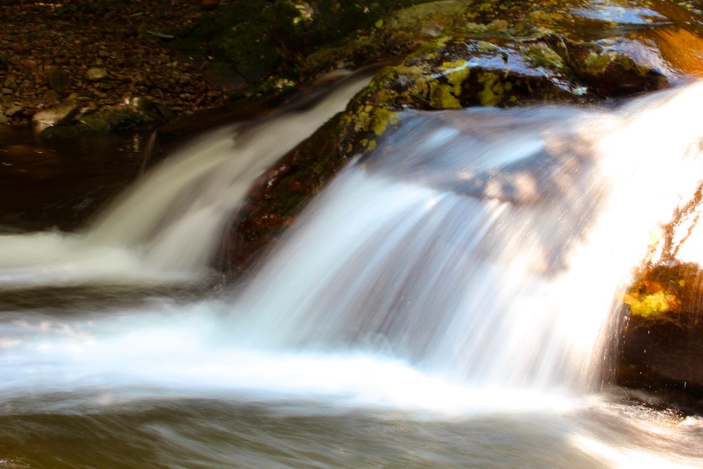
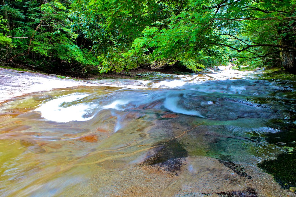
滑床渓谷
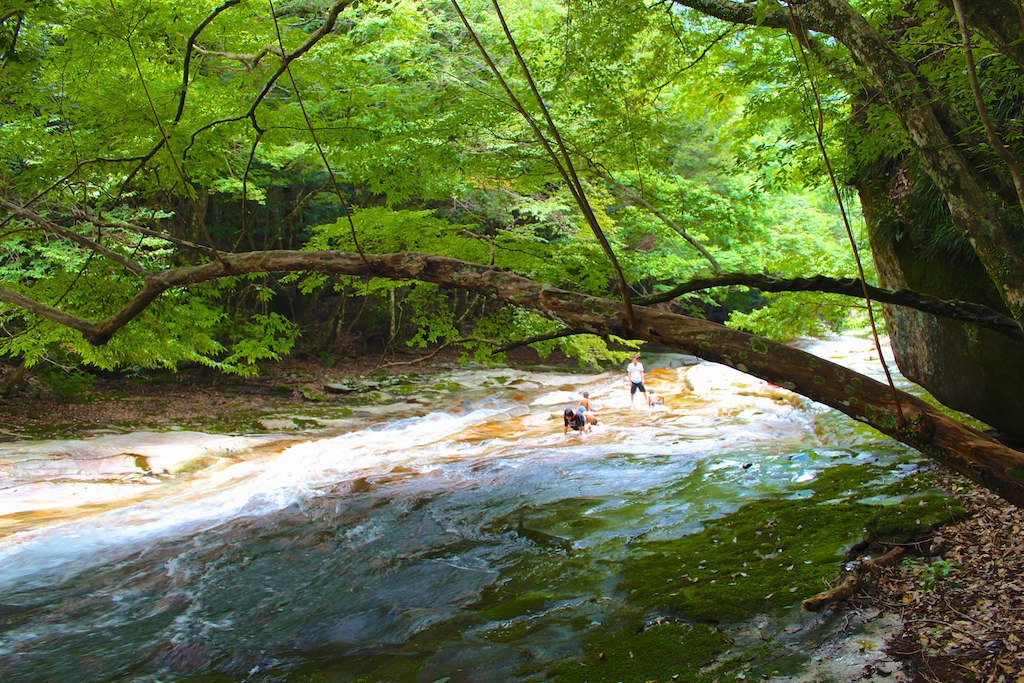
滑床渓谷
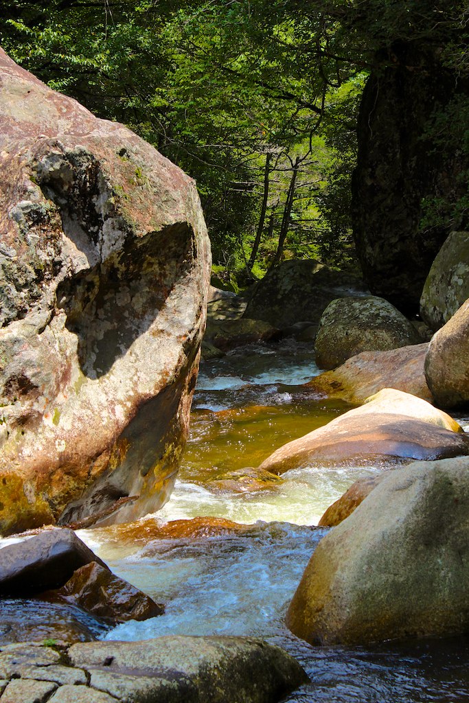
滑床渓谷
Cold morning !
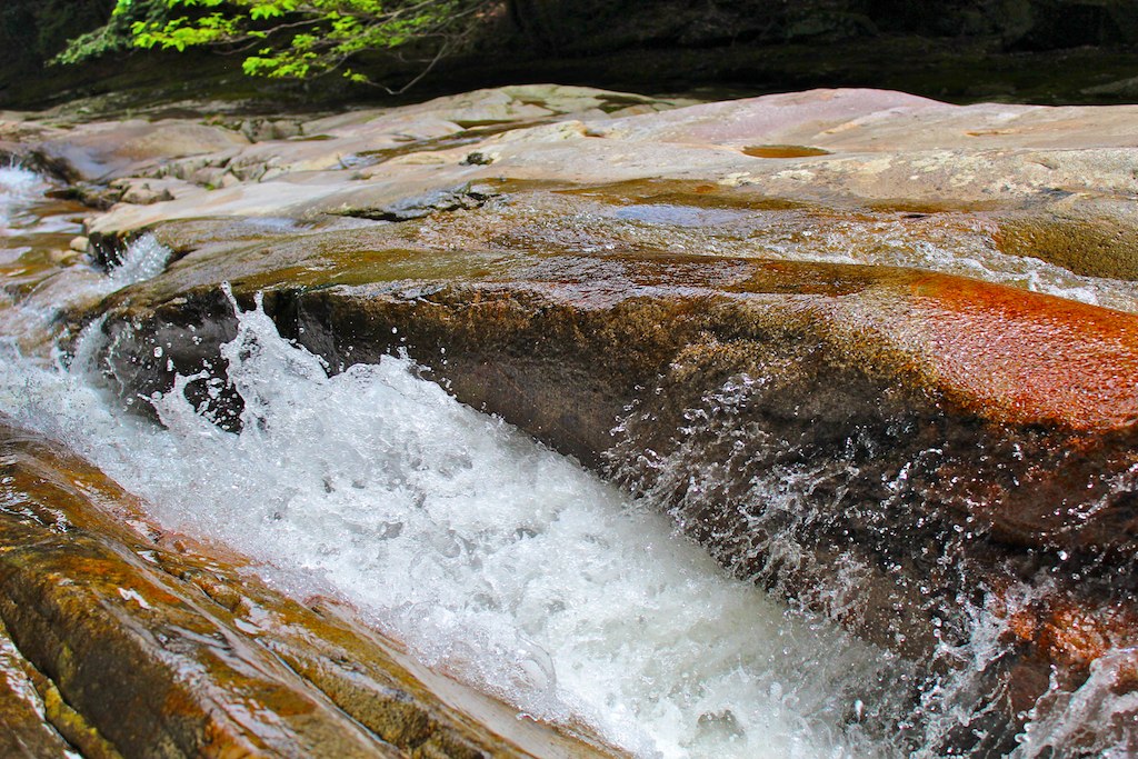
滑床渓谷
滑床渓谷
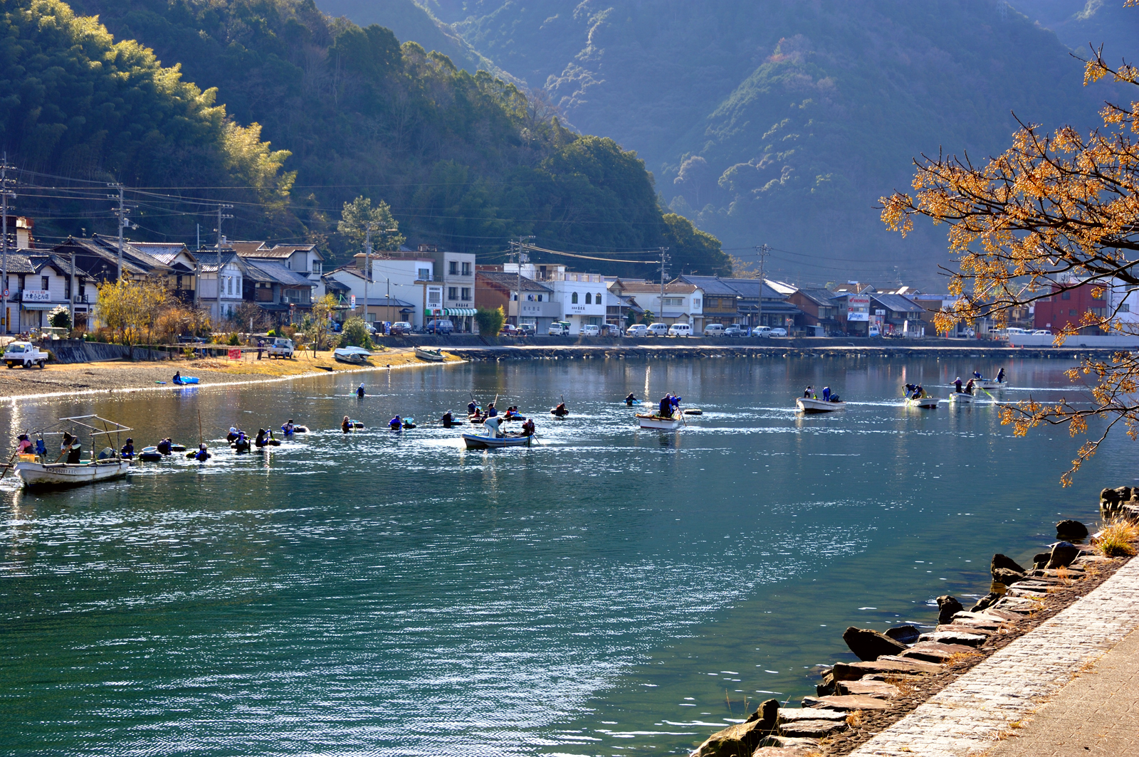
Harvest laver 川海苔 採り
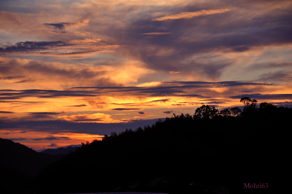
Sunset clouds
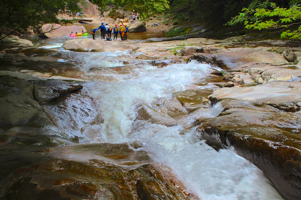
滑床渓谷
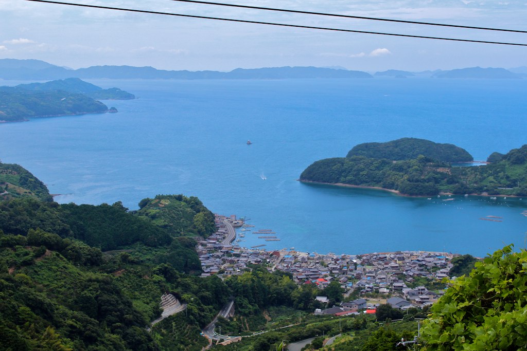
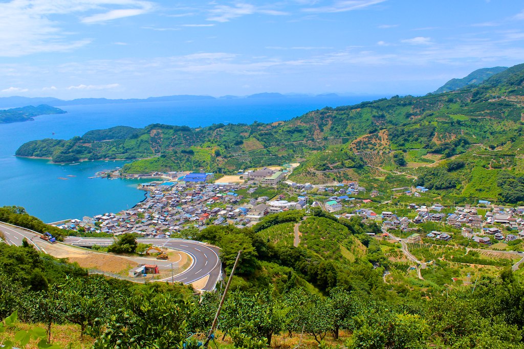
明浜
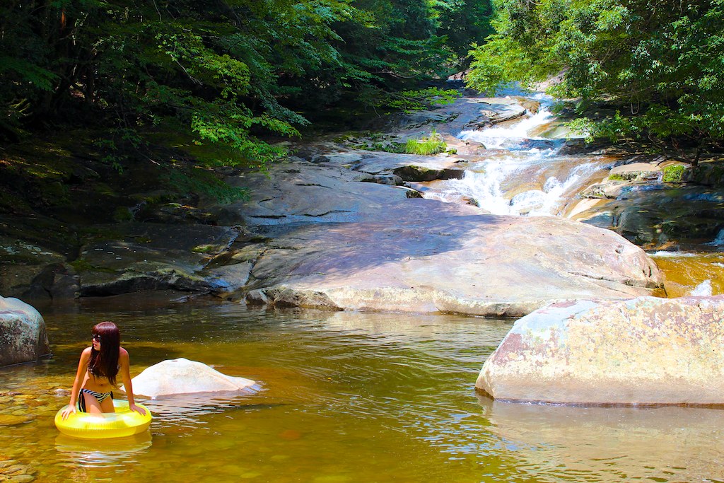
滑床渓谷
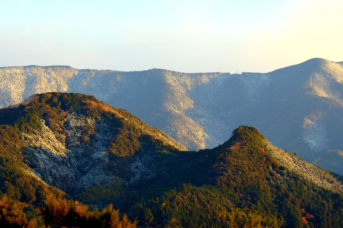
明浜
Orange field
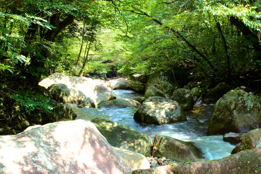
滑床渓谷
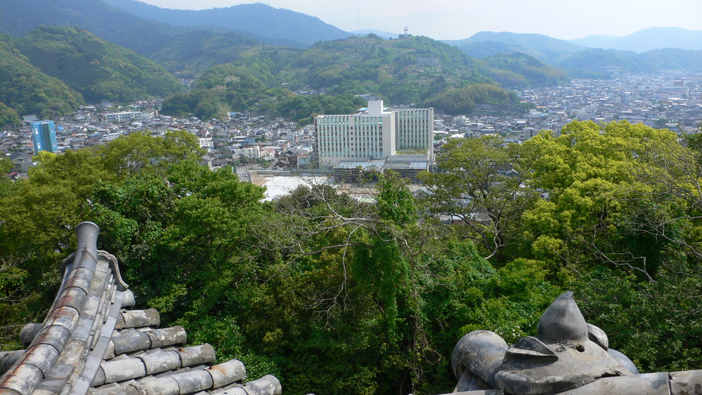
Uwajima Castle

滑床渓谷
Topographic Map of Yoshidachō Nagimi, Uwajima-shi, Ehime-ken -, Japan
Find elevation by address:

Places near Yoshidachō Nagimi, Uwajima-shi, Ehime-ken -, Japan:
Yoshidachō Asakawa, Uwajima-shi, Ehime-ken -, Japan
甲106
4- Yoshidachō Chinaga, Uwajima-shi, Ehime-ken -, Japan
Uwajima
Uwajima Castle
1 Chome-3 Marunouchi
3 Chome- Uwachō Unomachi, Seiyo-shi, Ehime-ken -, Japan
Seiyo
Kihoku
Izume, Kihoku-chō, Kitauwa-gun, Ehime-ken -, Japan
Nobinono, Matsuno-chō, Kitauwa-gun, Ehime-ken -, Japan
Matsuno
Kitauwa District
モビーディック
1460-11 (sonota)
Yawatahama
Nobukawa, Kihoku-chō, Kitauwa-gun, Ehime-ken -, Japan
Ozu
Ozu
Ozu Castle
Recent Searches:
- Elevation of Elwyn Dr, Roanoke Rapids, NC, USA
- Elevation of Congressional Dr, Stevensville, MD, USA
- Elevation of Bellview Rd, McLean, VA, USA
- Elevation of Stage Island Rd, Chatham, MA, USA
- Elevation of Shibuya Scramble Crossing, 21 Udagawacho, Shibuya City, Tokyo -, Japan
- Elevation of Jadagoniai, Kaunas District Municipality, Lithuania
- Elevation of Pagonija rock, Kranto 7-oji g. 8"N, Kaunas, Lithuania
- Elevation of Co Rd 87, Jamestown, CO, USA
- Elevation of Tenjo, Cundinamarca, Colombia
- Elevation of Côte-des-Neiges, Montreal, QC H4A 3J6, Canada