Elevation of Yawatahama, Ehime Prefecture, Japan
Location: Japan > Ehime Prefecture >
Longitude: 132.423336
Latitude: 33.4628979
Elevation: 3m / 10feet
Barometric Pressure: 101KPa
Elevation Map:
Satellite Map:
Related Photos:
Spring view of the puddle
Sea and Mountain and Houses

秋影
Leaving Yahatahama
八幡浜へ

Matsuyama Bound

Japanese fireworks #2
Morning of the Cape
Tsunakake Iwa (綱掛け岩)
Summer in Ozu #4

Spring day #7
大洲城5.6.7・Ozu Castle

Oozu Castle
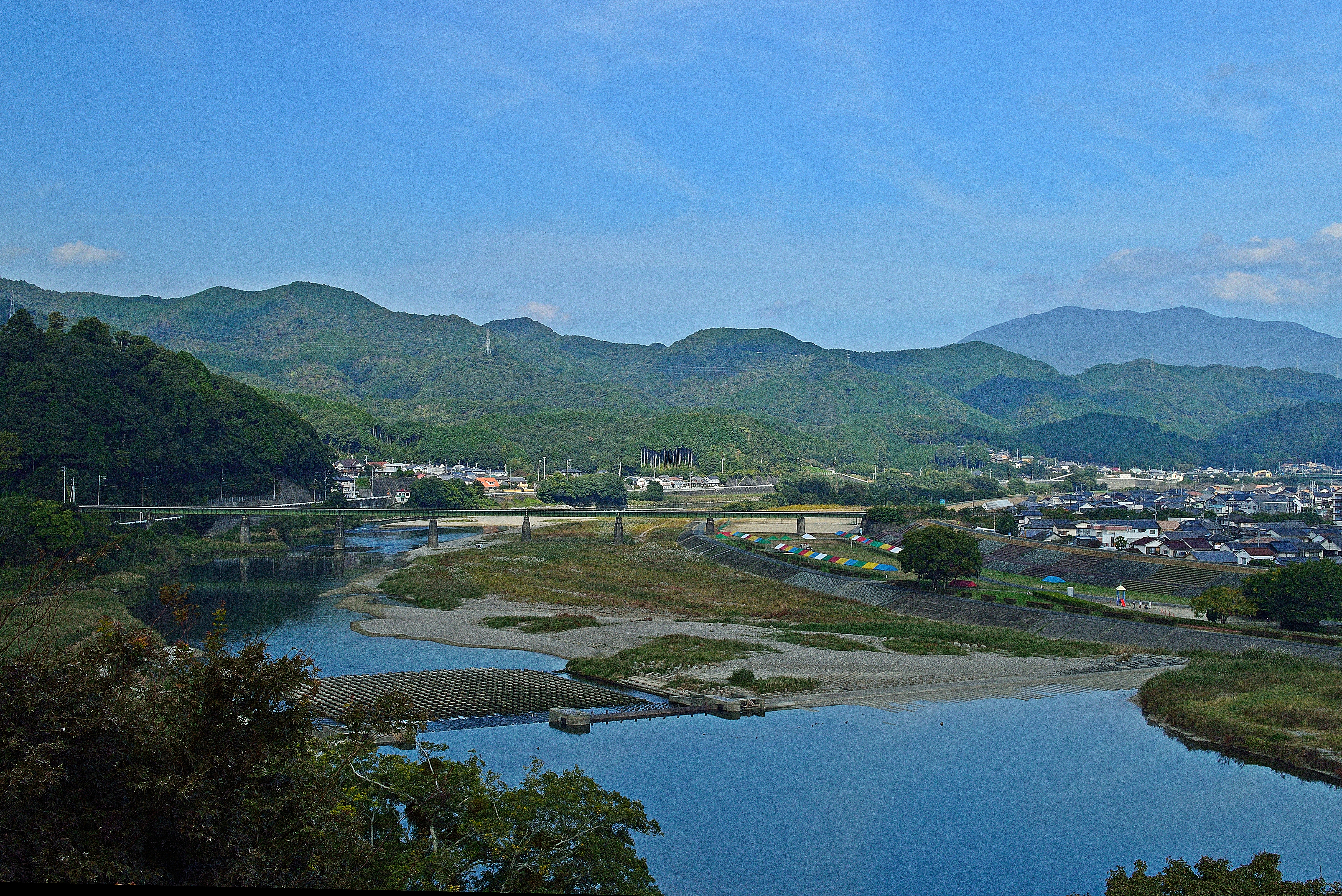
肱川2・Hiji River
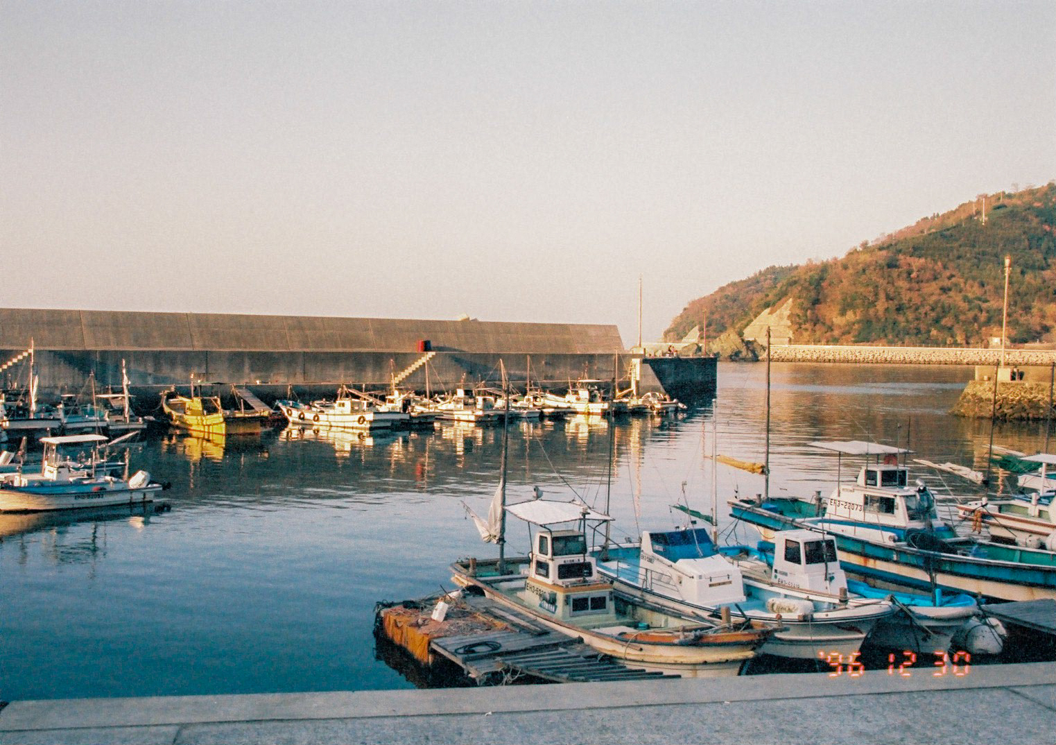
漁村
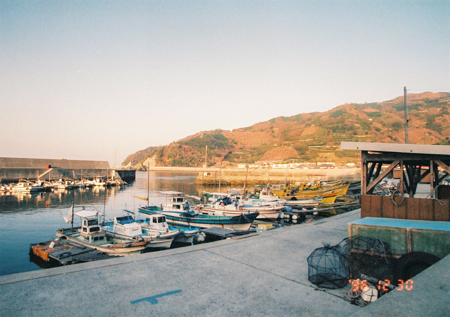
漁村
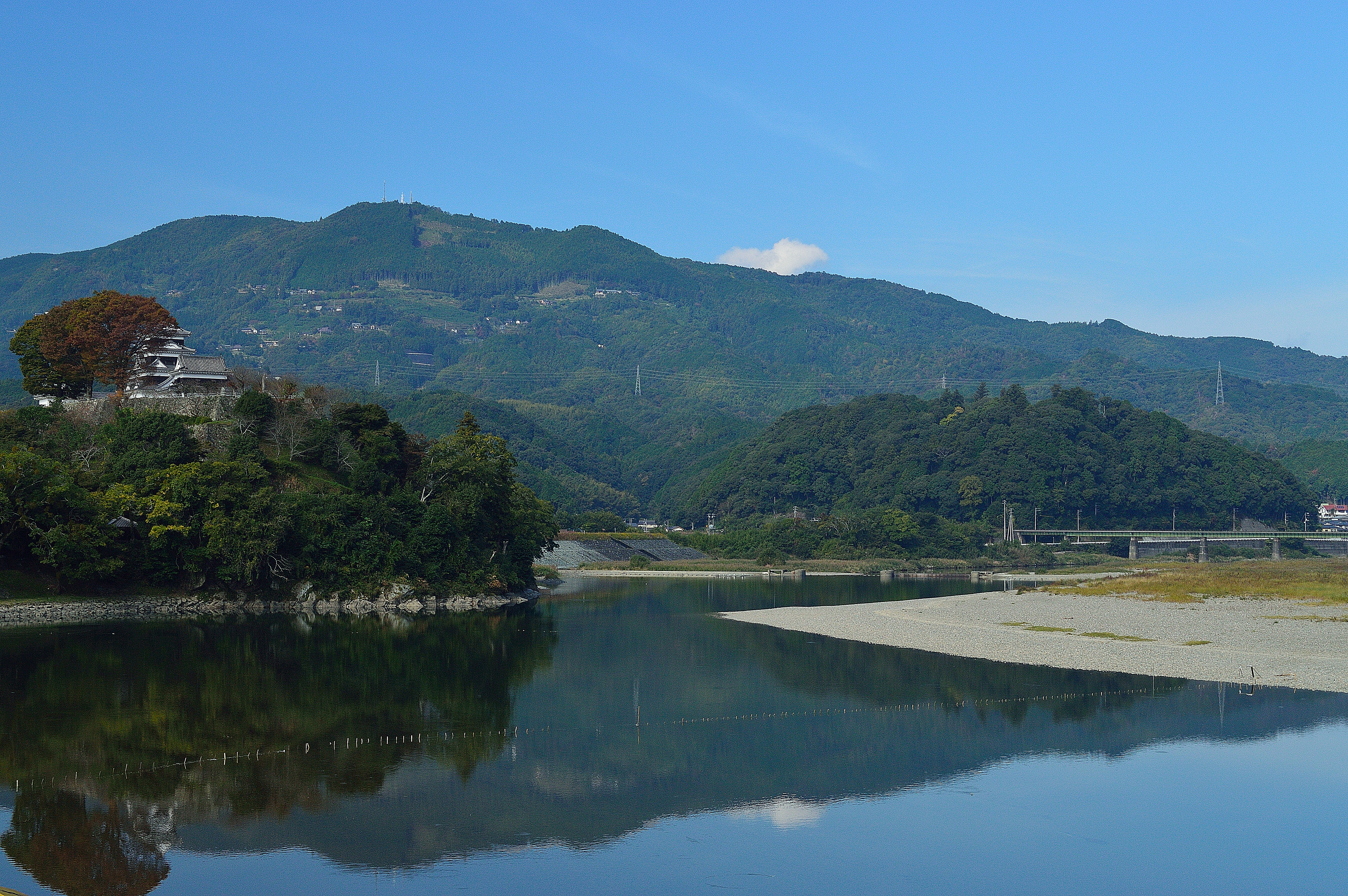
大洲城4・Ozu Castle
Spring day #5

Spring has come
大洲城3・Ozu Castle
大洲城
肱川1・Hiji River
Topographic Map of Yawatahama, Ehime Prefecture, Japan
Find elevation by address:

Places near Yawatahama, Ehime Prefecture, Japan:
1460-11 (sonota)
モビーディック
Ikata
Ozu Castle
Ozu
Ozu
-3 Nakamura, Ōzu-shi, Ehime-ken -, Japan
Seiyo
3 Chome- Uwachō Unomachi, Seiyo-shi, Ehime-ken -, Japan
Shionashi, Ikata-chō, Nishiuwa-gun, Ehime-ken -, Japan
Yoshidachō Nagimi, Uwajima-shi, Ehime-ken -, Japan
甲106
Yoshidachō Asakawa, Uwajima-shi, Ehime-ken -, Japan
Nishiuwa District
4- Yoshidachō Chinaga, Uwajima-shi, Ehime-ken -, Japan
Uchiko, Uchiko-chō, Kita-gun, Ehime-ken -, Japan
Uchiko
Uwajima
Nagahamachō Aoshima, Ōzu-shi, Ehime-ken -, Japan
Uwajima Castle
Recent Searches:
- Elevation of Gateway Blvd SE, Canton, OH, USA
- Elevation of East W.T. Harris Boulevard, E W.T. Harris Blvd, Charlotte, NC, USA
- Elevation of West Sugar Creek, Charlotte, NC, USA
- Elevation of Wayland, NY, USA
- Elevation of Steadfast Ct, Daphne, AL, USA
- Elevation of Lagasgasan, X+CQH, Tiaong, Quezon, Philippines
- Elevation of Rojo Ct, Atascadero, CA, USA
- Elevation of Flagstaff Drive, Flagstaff Dr, North Carolina, USA
- Elevation of Avery Ln, Lakeland, FL, USA
- Elevation of Woolwine, VA, USA