Elevation of -11 (Sonota), Yawatahama-shi, Ehime-ken -, Japan
Location: Japan > Ehime Prefecture > Yawatahama >
Longitude: 132.422925
Latitude: 33.4585039
Elevation: 2m / 7feet
Barometric Pressure: 101KPa
Elevation Map:
Satellite Map:
Related Photos:
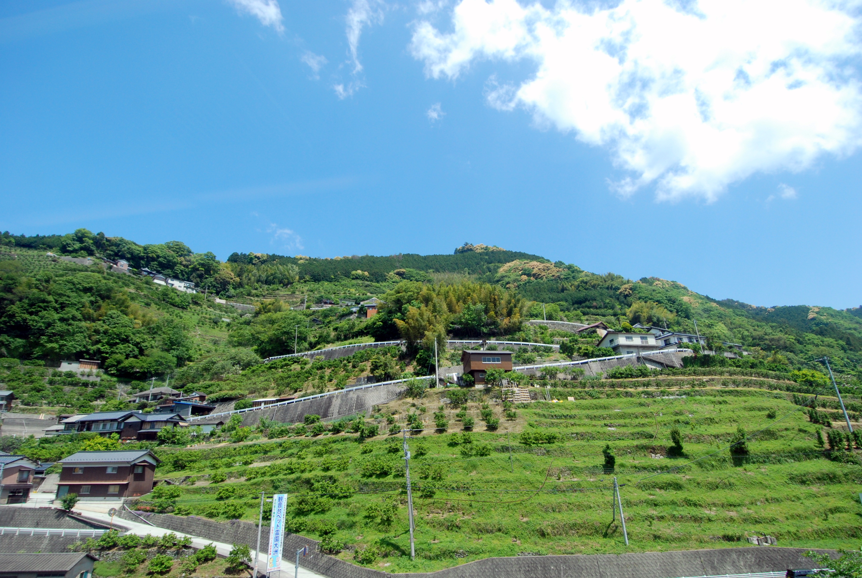
Sea and Mountain and Houses

秋影
Japanese fireworks #2
Morning of the Cape
Tsunakake Iwa (綱掛け岩)
Spring day #7
大洲城5.6.7・Ozu Castle

Oozu Castle
肱川2・Hiji River
漁村
漁村
大洲城4・Ozu Castle
Spring day #5

Spring has come
大洲城3・Ozu Castle
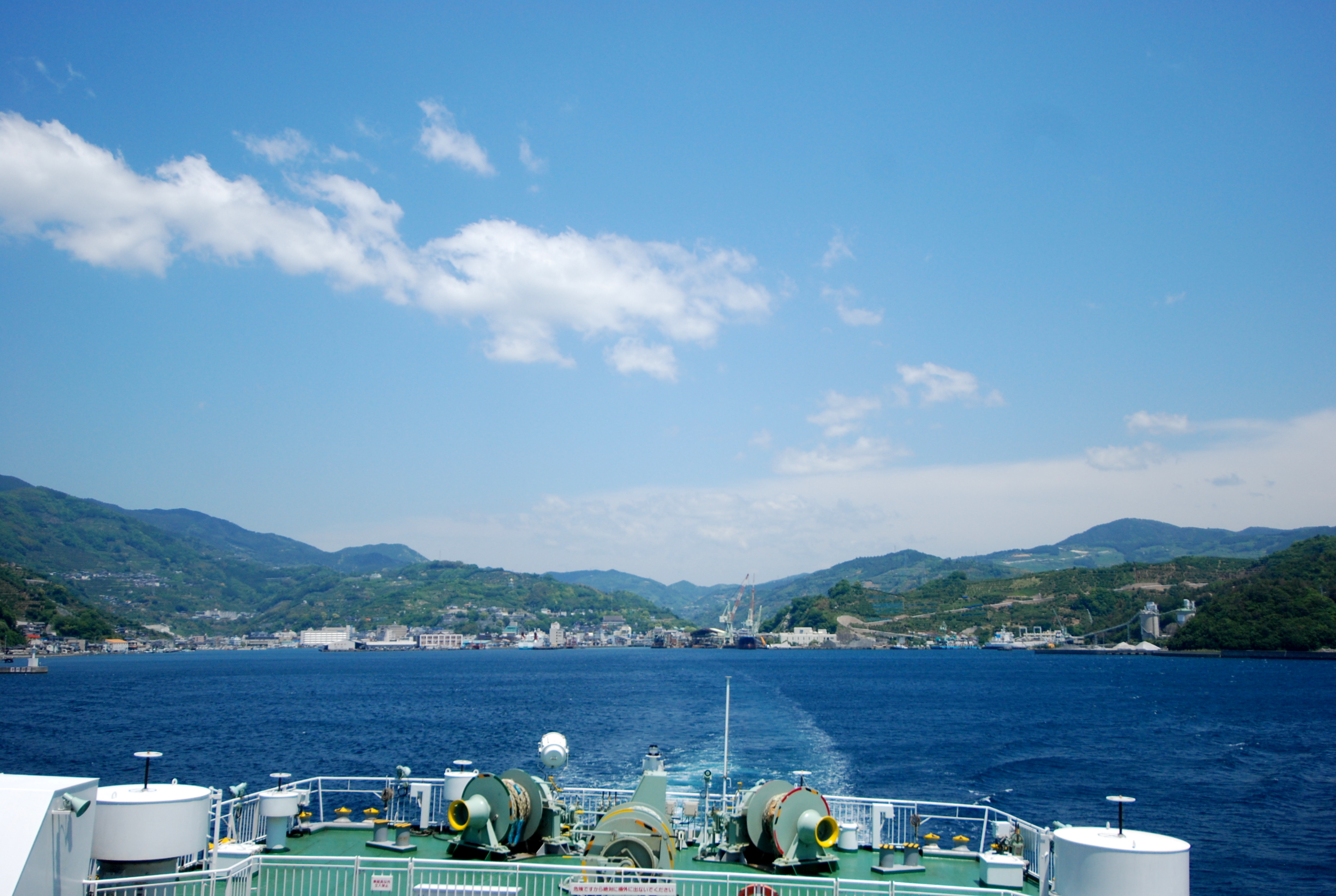
Leaving Yahatahama
八幡浜へ
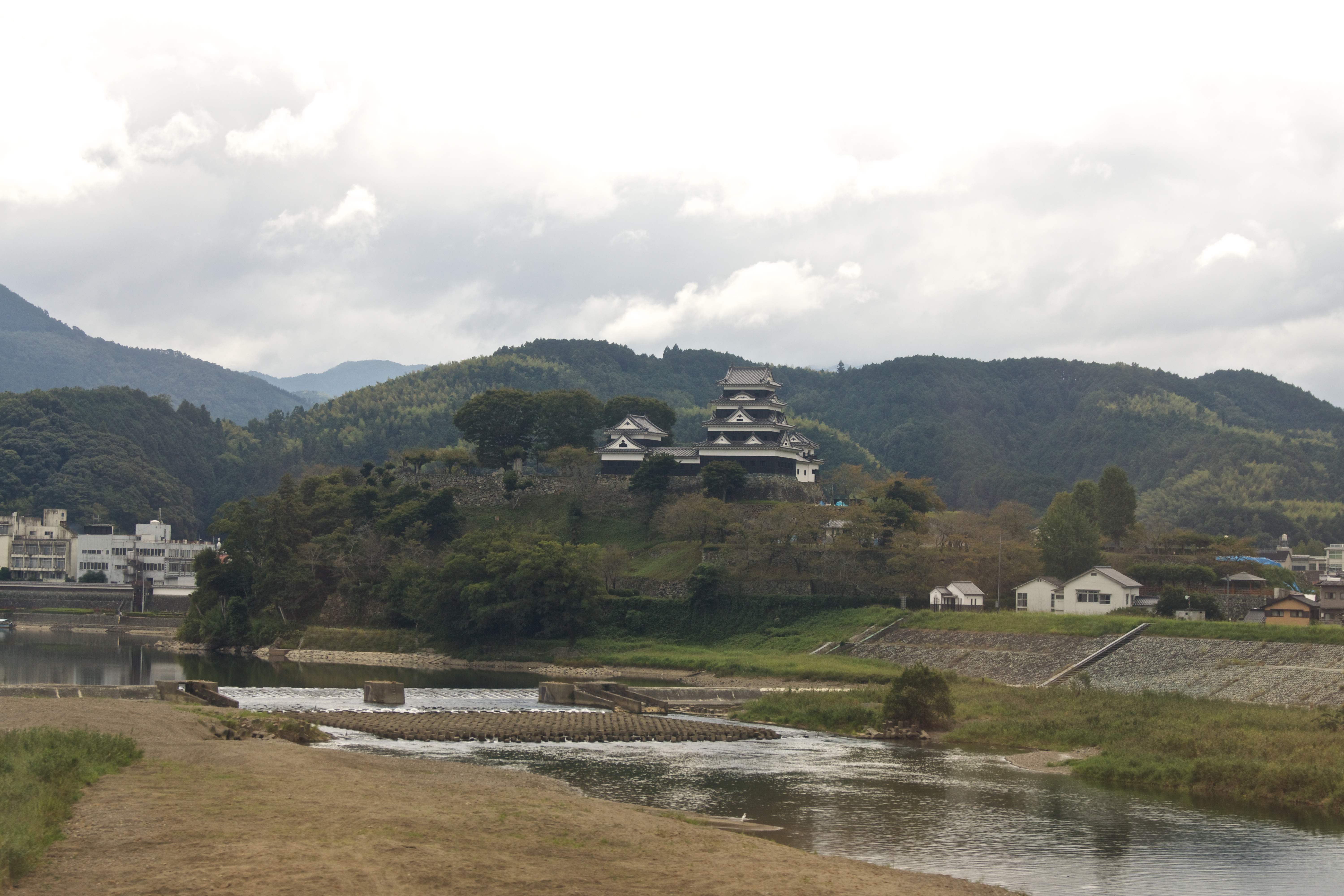
大洲城

Matsuyama Bound
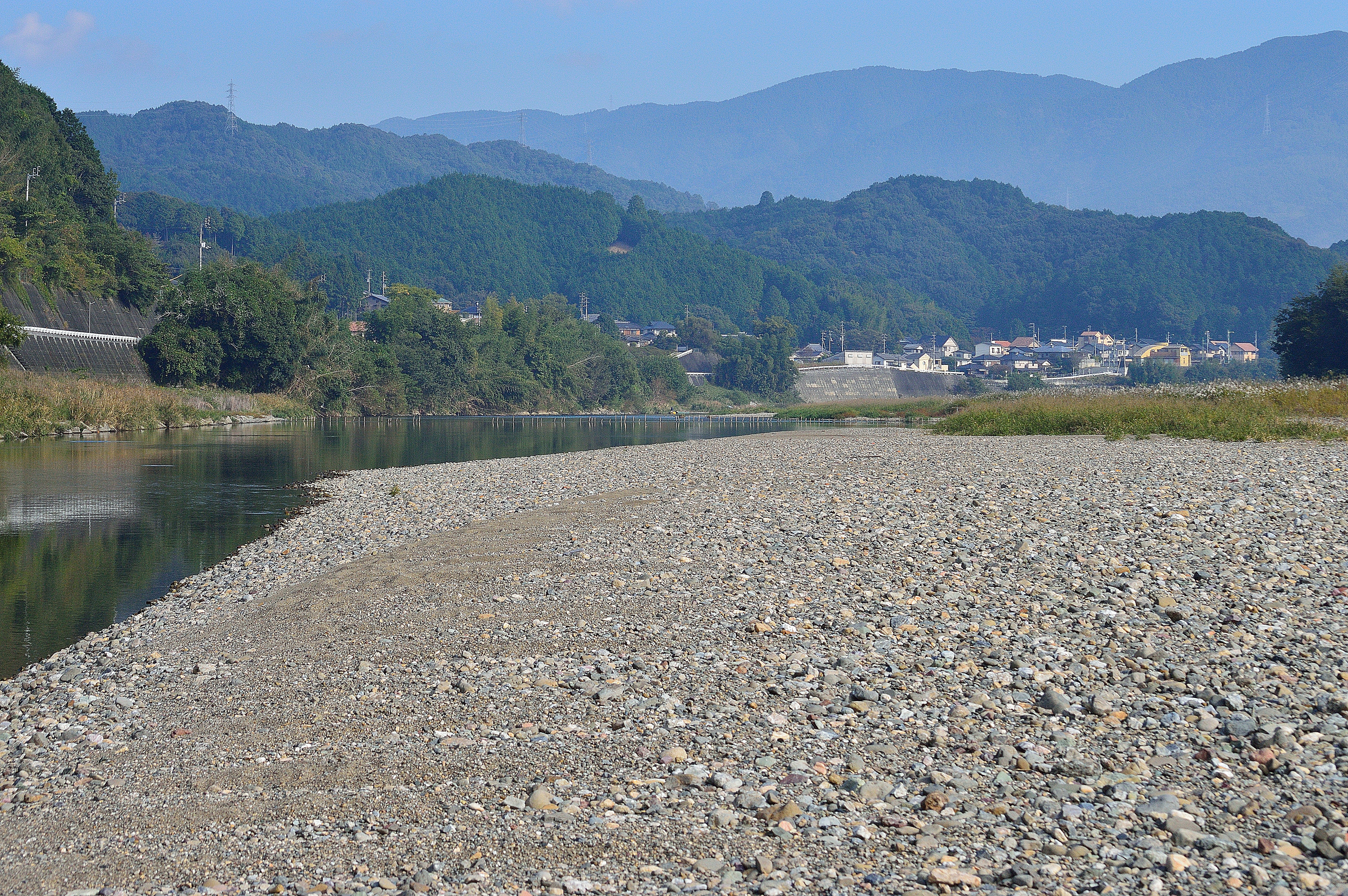
肱川1・Hiji River
Topographic Map of -11 (Sonota), Yawatahama-shi, Ehime-ken -, Japan
Find elevation by address:

Places in -11 (Sonota), Yawatahama-shi, Ehime-ken -, Japan:
Places near -11 (Sonota), Yawatahama-shi, Ehime-ken -, Japan:
モビーディック
Yawatahama
Ikata
Ozu Castle
Ozu
Seiyo
Ozu
3 Chome- Uwachō Unomachi, Seiyo-shi, Ehime-ken -, Japan
-3 Nakamura, Ōzu-shi, Ehime-ken -, Japan
Shionashi, Ikata-chō, Nishiuwa-gun, Ehime-ken -, Japan
Yoshidachō Nagimi, Uwajima-shi, Ehime-ken -, Japan
甲106
Yoshidachō Asakawa, Uwajima-shi, Ehime-ken -, Japan
Nishiuwa District
4- Yoshidachō Chinaga, Uwajima-shi, Ehime-ken -, Japan
Uchiko, Uchiko-chō, Kita-gun, Ehime-ken -, Japan
Uchiko
Uwajima
Uwajima Castle
1 Chome-3 Marunouchi
Recent Searches:
- Elevation of Leguwa, Nepal
- Elevation of County Rd, Enterprise, AL, USA
- Elevation of Kolchuginsky District, Vladimir Oblast, Russia
- Elevation of Shustino, Vladimir Oblast, Russia
- Elevation of Lampiasi St, Sarasota, FL, USA
- Elevation of Elwyn Dr, Roanoke Rapids, NC, USA
- Elevation of Congressional Dr, Stevensville, MD, USA
- Elevation of Bellview Rd, McLean, VA, USA
- Elevation of Stage Island Rd, Chatham, MA, USA
- Elevation of Shibuya Scramble Crossing, 21 Udagawacho, Shibuya City, Tokyo -, Japan