Elevation of Ikata, Nishiuwa District, Ehime Prefecture, Japan
Location: Japan > Ehime Prefecture > Nishiuwa District >
Longitude: 132.354012
Latitude: 33.4885738
Elevation: 3m / 10feet
Barometric Pressure: 101KPa
Elevation Map:
Satellite Map:
Related Photos:
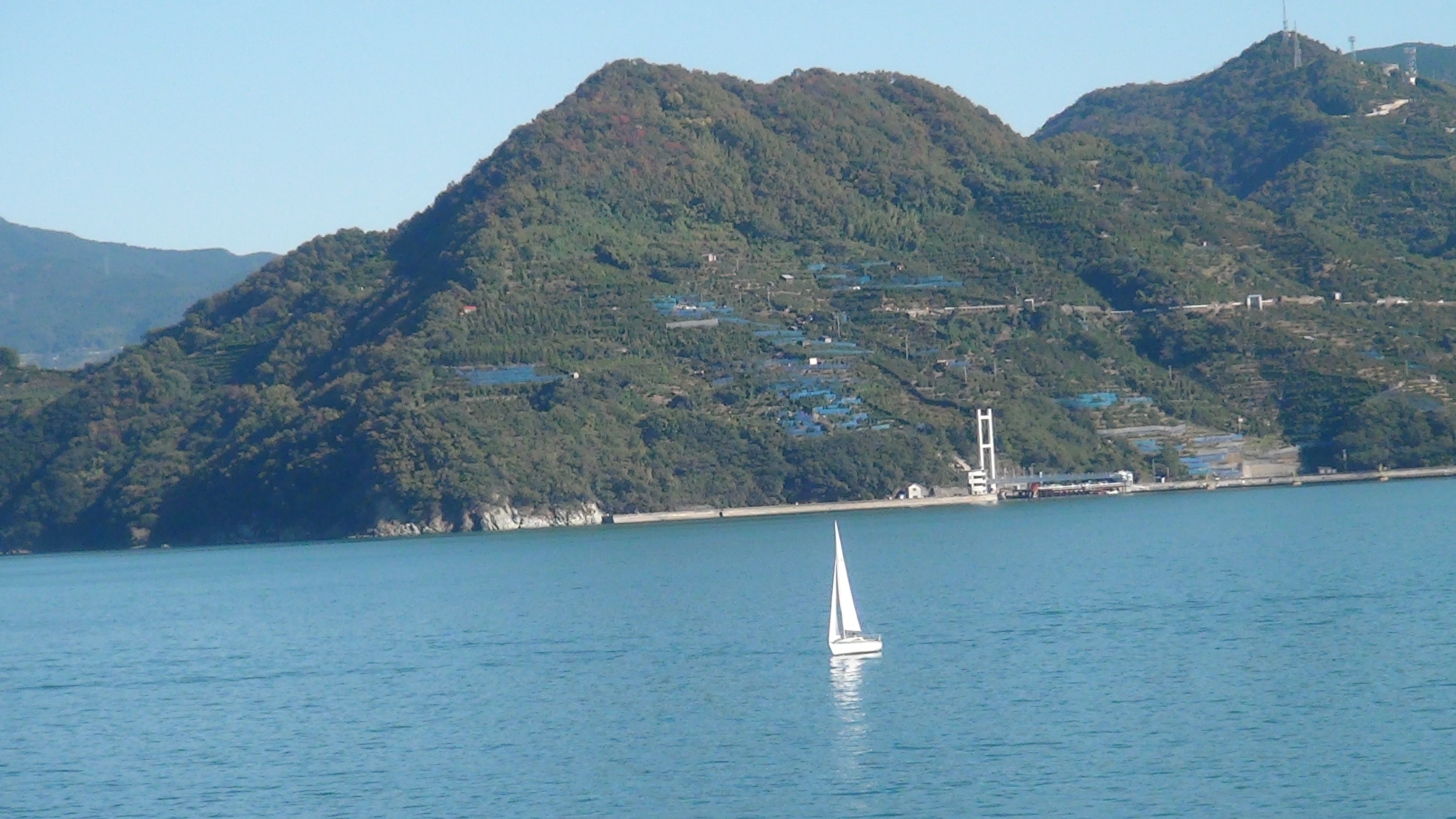
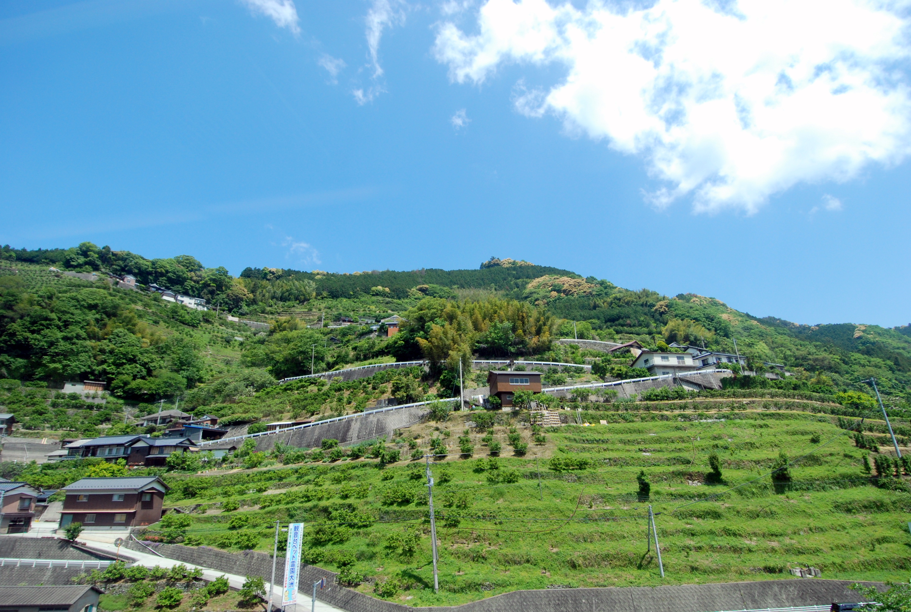
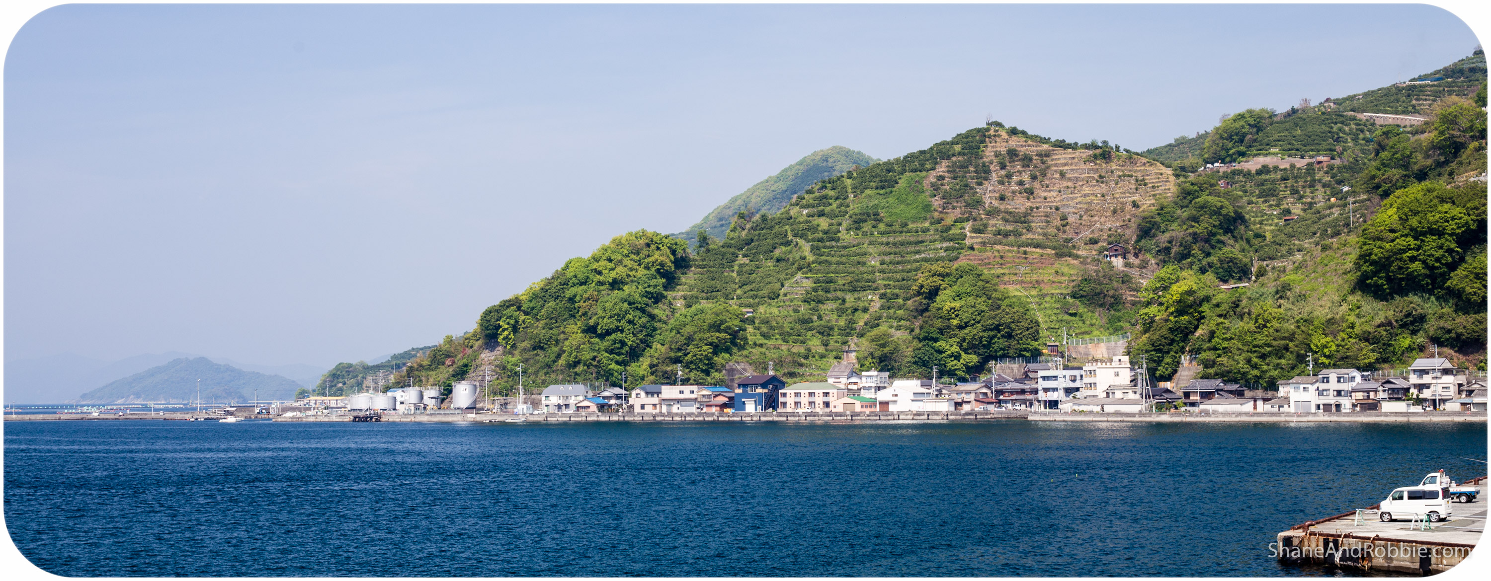
Sea and Mountain and Houses
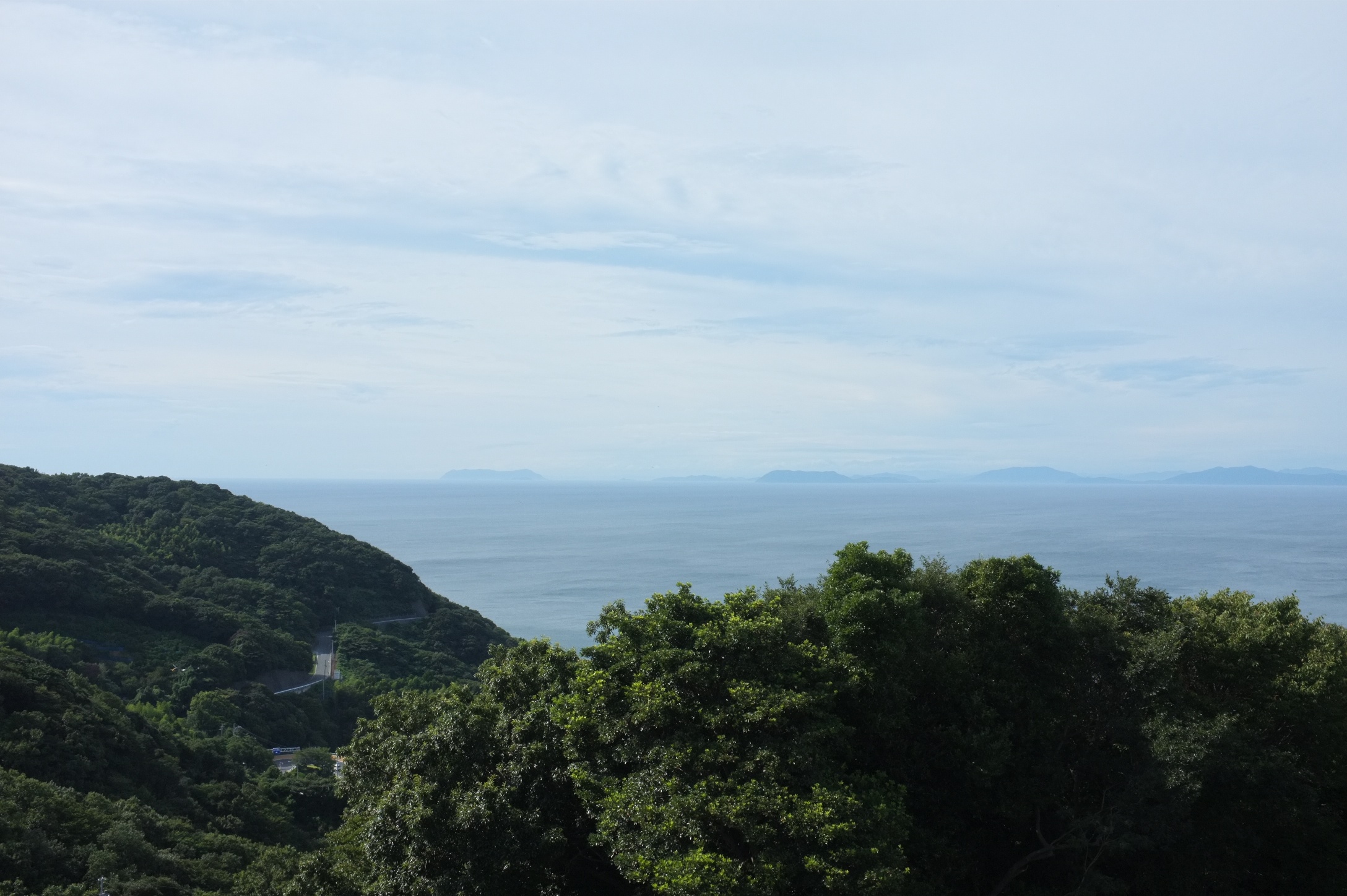
Morning of the Cape
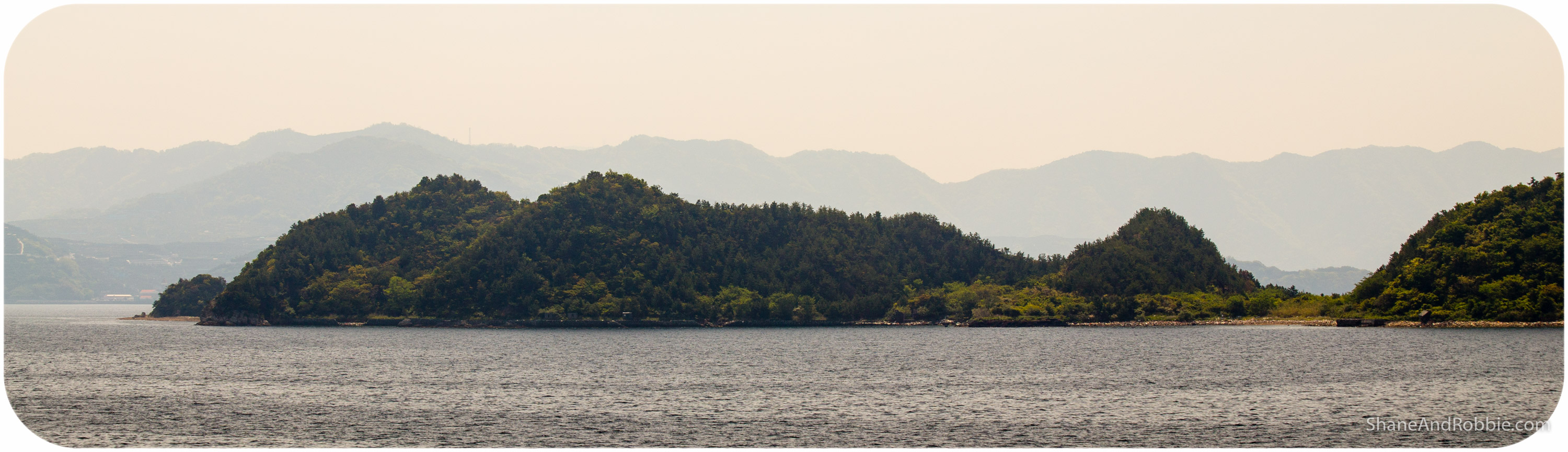
Quiet morning
Leaving Yahatahama

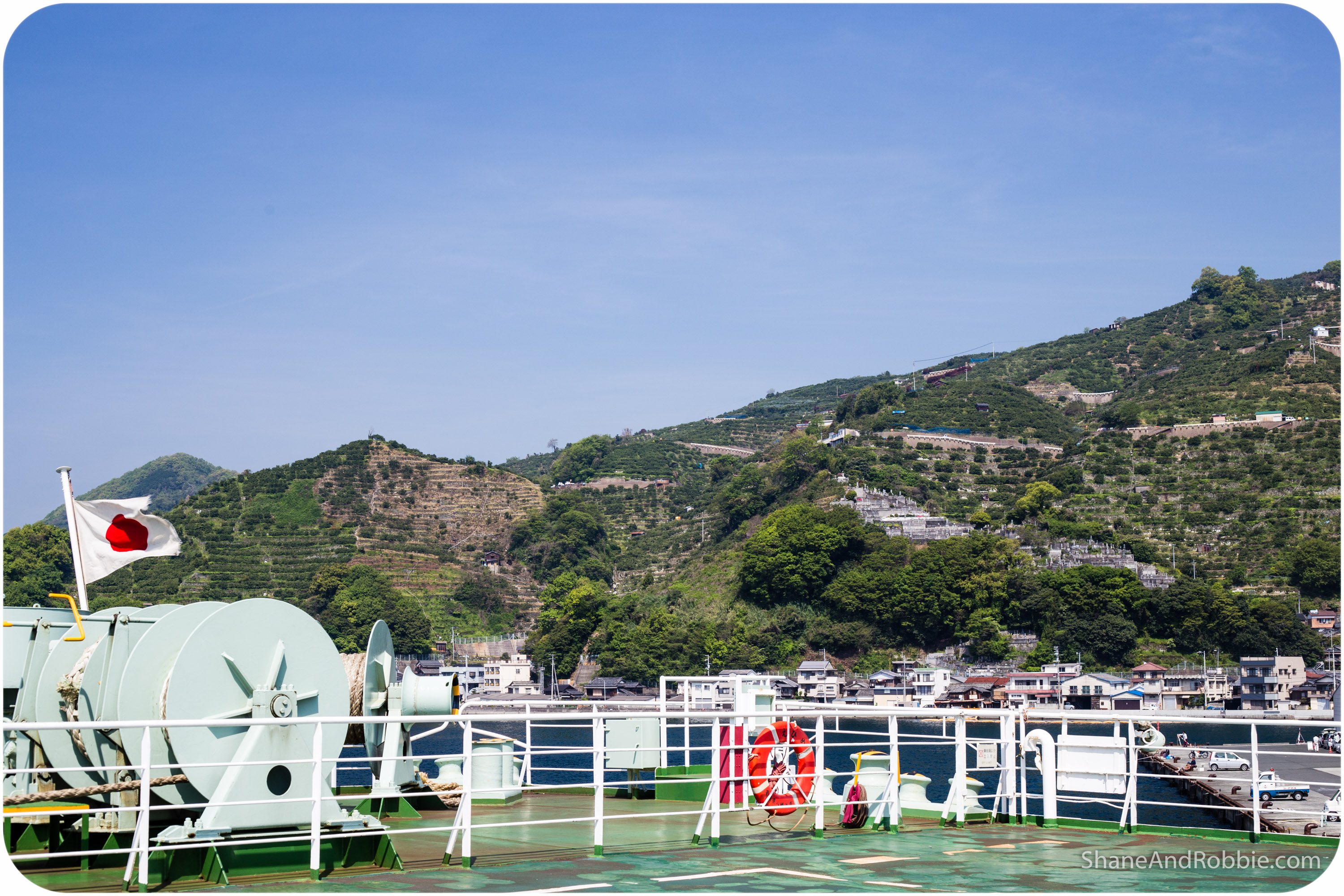
Matsuyama Bound
uwajima_beppu (61)
道の駅きらら館から、北側を見る
2015-04-23-20150423(Canon EOS 6D)-00018
Driving along the coast from Uwajima to Matsuyama
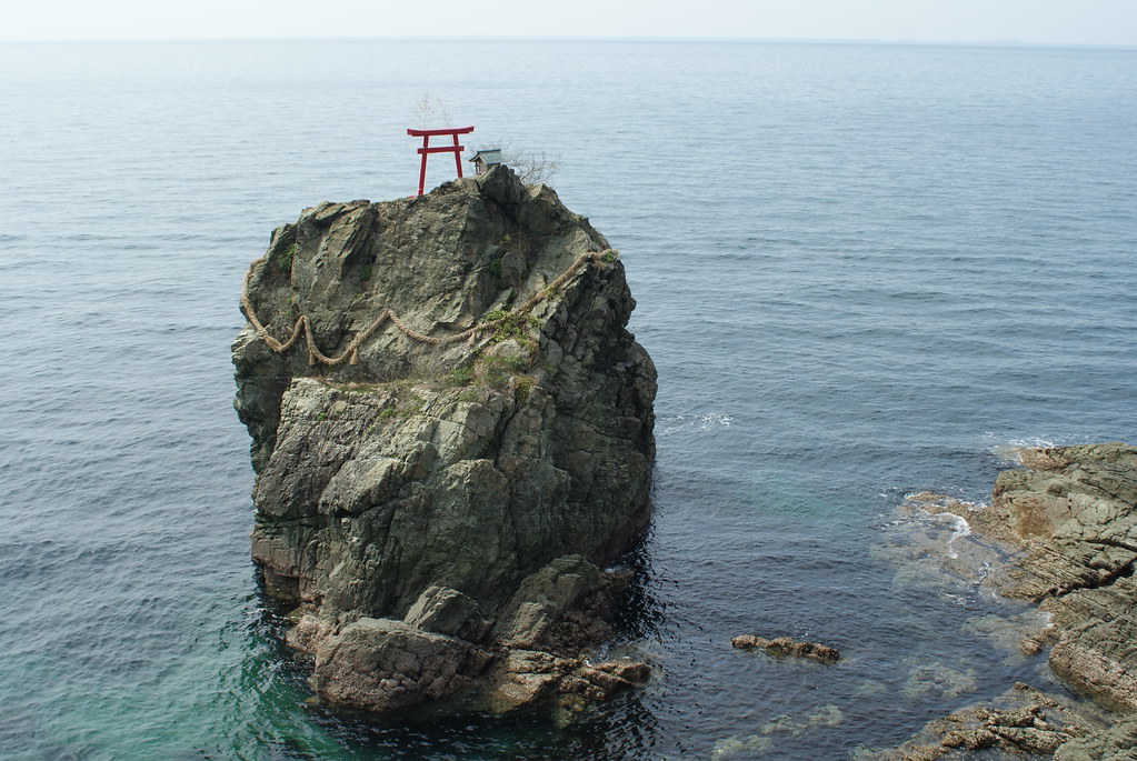
Tsunakake Iwa (綱掛け岩)
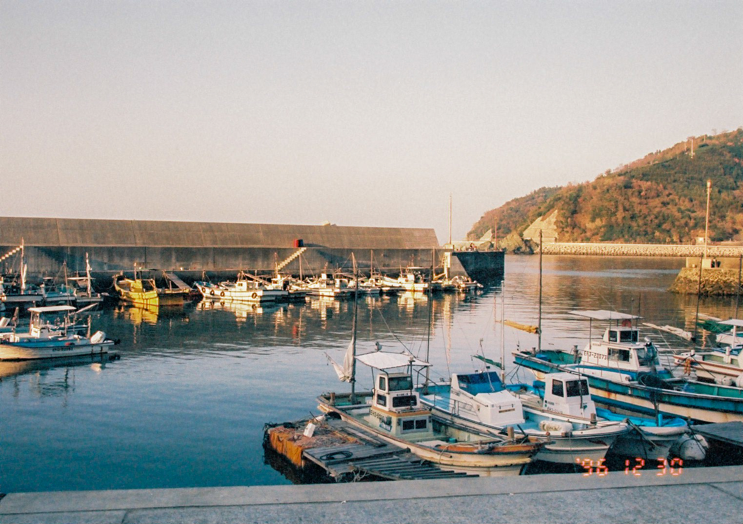
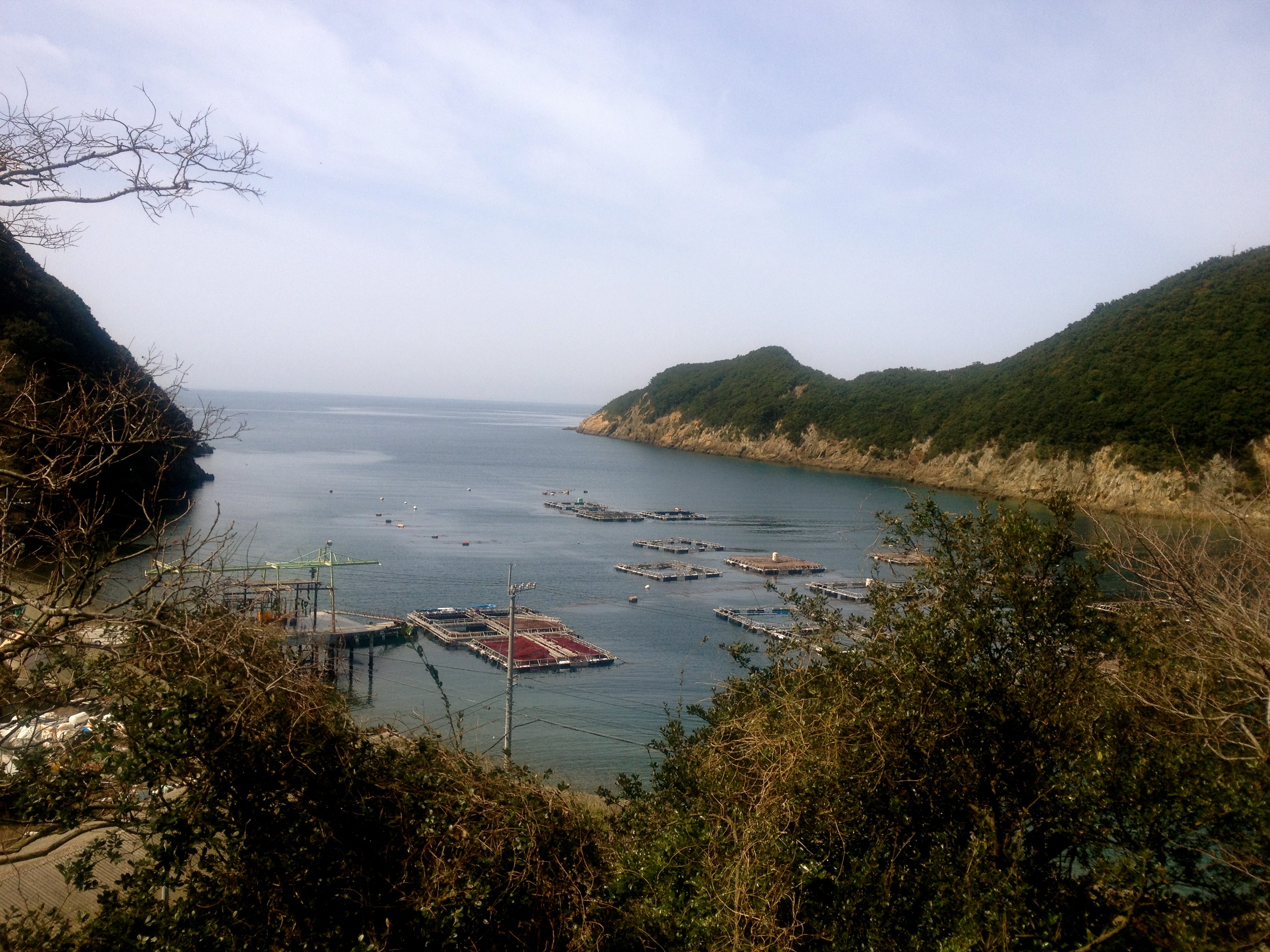
漁村
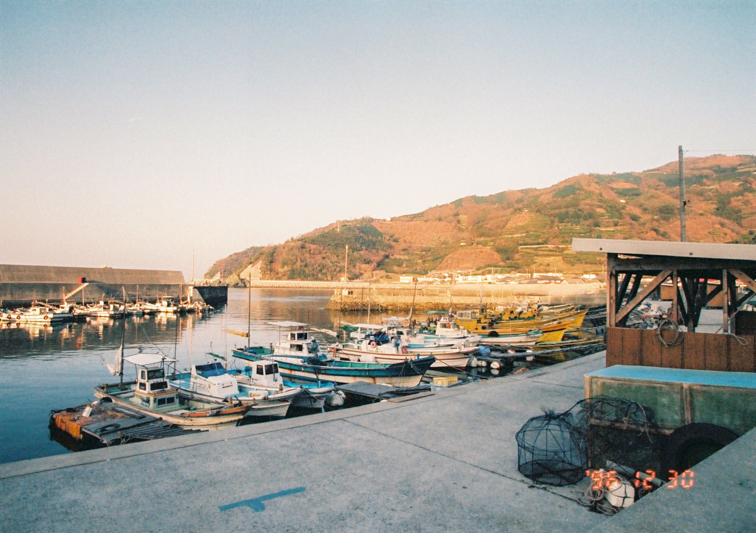
漁村
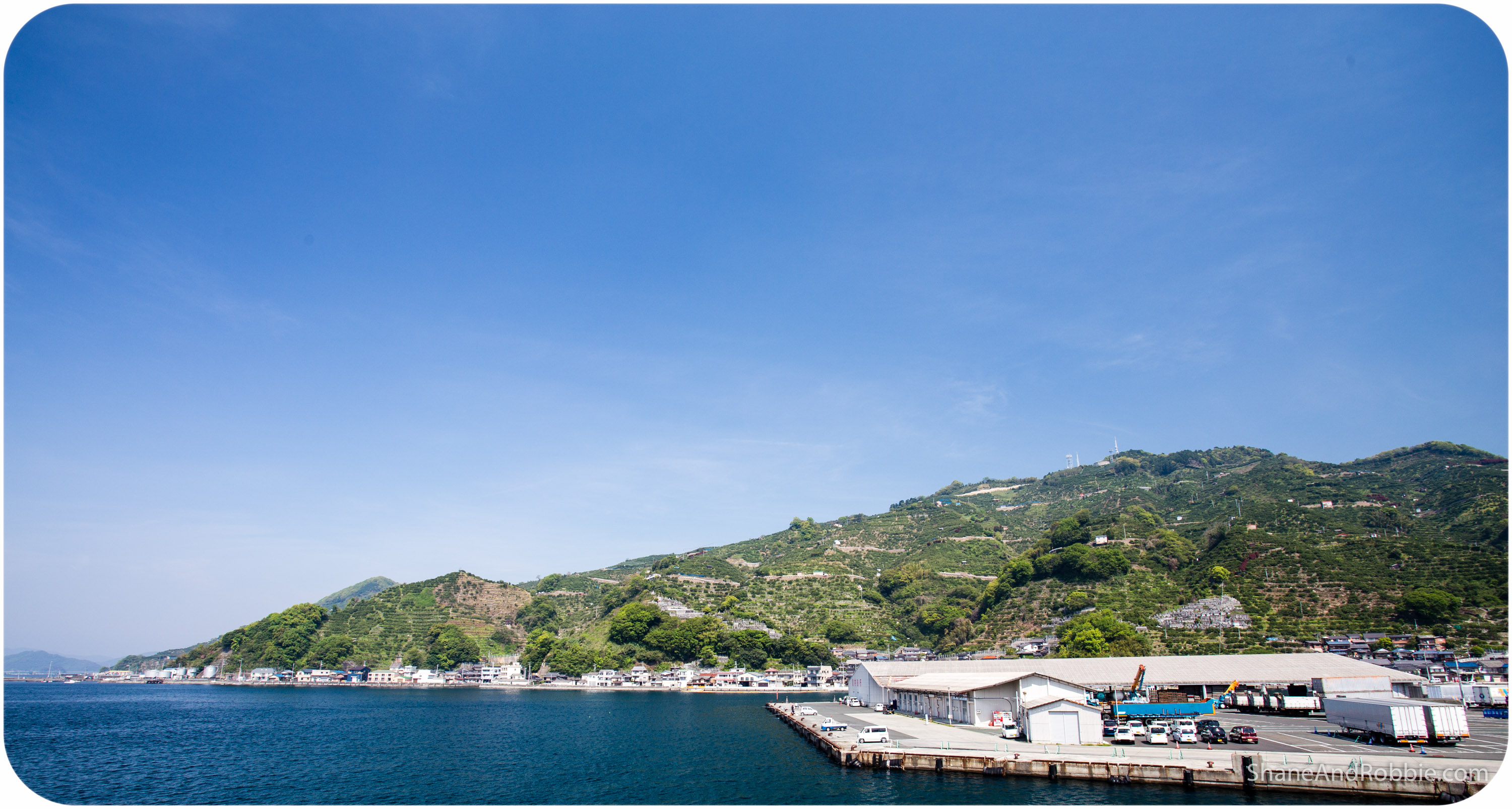
八幡浜へ
2015-04-23-20150423(Canon EOS 6D)-00008
2015-04-23-20150423(Canon EOS 6D)-00009
2015-04-23-20150423(Canon EOS 6D)-00012
Topographic Map of Ikata, Nishiuwa District, Ehime Prefecture, Japan
Find elevation by address:

Places in Ikata, Nishiuwa District, Ehime Prefecture, Japan:
Places near Ikata, Nishiuwa District, Ehime Prefecture, Japan:
Yawatahama
1460-11 (sonota)
モビーディック
Shionashi, Ikata-chō, Nishiuwa-gun, Ehime-ken -, Japan
Nishiuwa District
Ozu Castle
Ozu
Ozu
-3 Nakamura, Ōzu-shi, Ehime-ken -, Japan
Seiyo
3 Chome- Uwachō Unomachi, Seiyo-shi, Ehime-ken -, Japan
Yoshidachō Nagimi, Uwajima-shi, Ehime-ken -, Japan
甲106
Nagahamachō Aoshima, Ōzu-shi, Ehime-ken -, Japan
Yoshidachō Asakawa, Uwajima-shi, Ehime-ken -, Japan
4- Yoshidachō Chinaga, Uwajima-shi, Ehime-ken -, Japan
Uchiko, Uchiko-chō, Kita-gun, Ehime-ken -, Japan
Uchiko
Uwajima
Uwajima Castle
Recent Searches:
- Elevation of Elwyn Dr, Roanoke Rapids, NC, USA
- Elevation of Congressional Dr, Stevensville, MD, USA
- Elevation of Bellview Rd, McLean, VA, USA
- Elevation of Stage Island Rd, Chatham, MA, USA
- Elevation of Shibuya Scramble Crossing, 21 Udagawacho, Shibuya City, Tokyo -, Japan
- Elevation of Jadagoniai, Kaunas District Municipality, Lithuania
- Elevation of Pagonija rock, Kranto 7-oji g. 8"N, Kaunas, Lithuania
- Elevation of Co Rd 87, Jamestown, CO, USA
- Elevation of Tenjo, Cundinamarca, Colombia
- Elevation of Côte-des-Neiges, Montreal, QC H4A 3J6, Canada