Elevation of Kitauwa District, Ehime Prefecture, Japan
Location: Japan > Ehime Prefecture >
Longitude: 132.719
Latitude: 33.283
Elevation: 155m / 509feet
Barometric Pressure: 99KPa
Elevation Map:
Satellite Map:
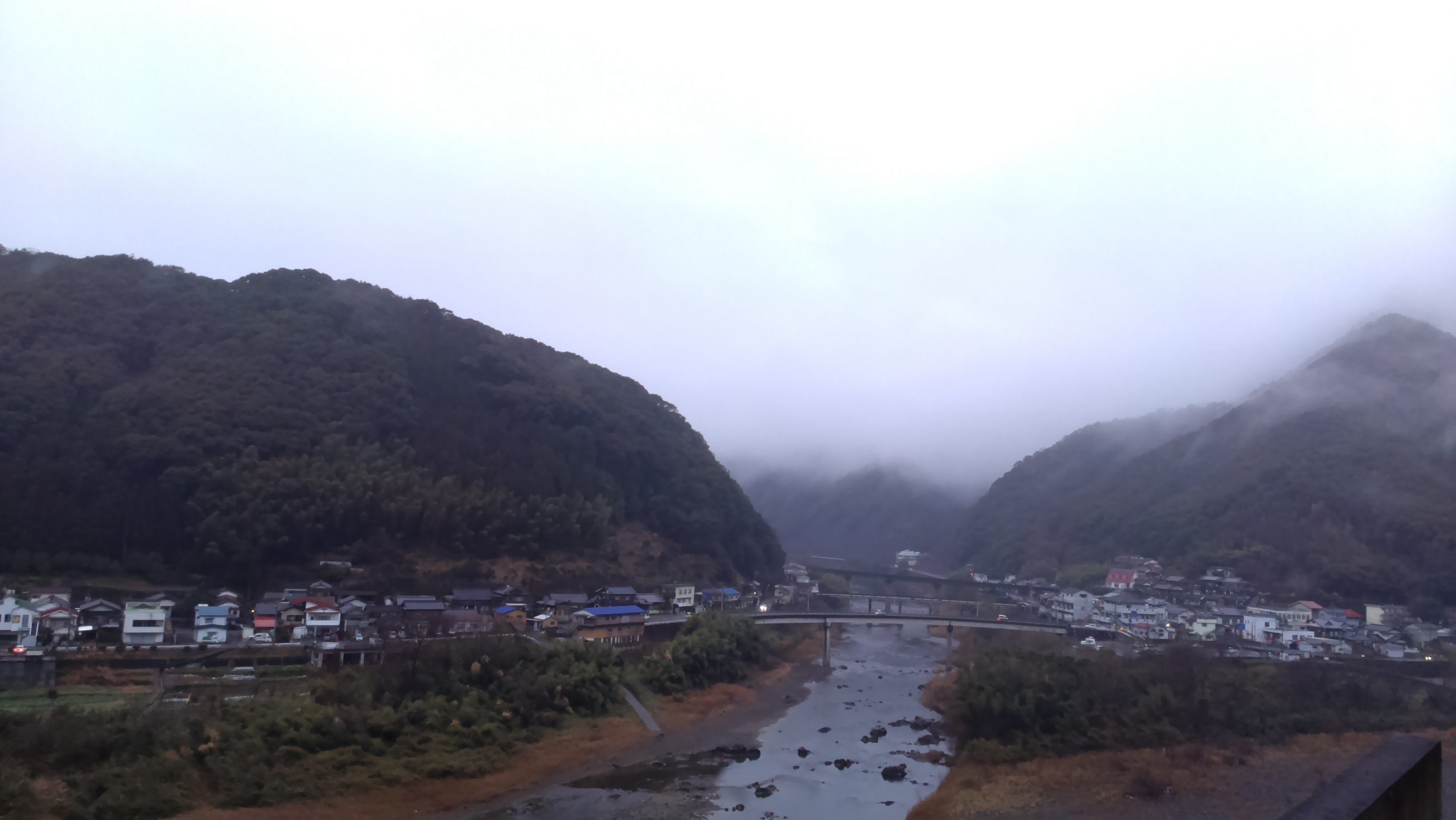
Related Photos:
IMG_2142
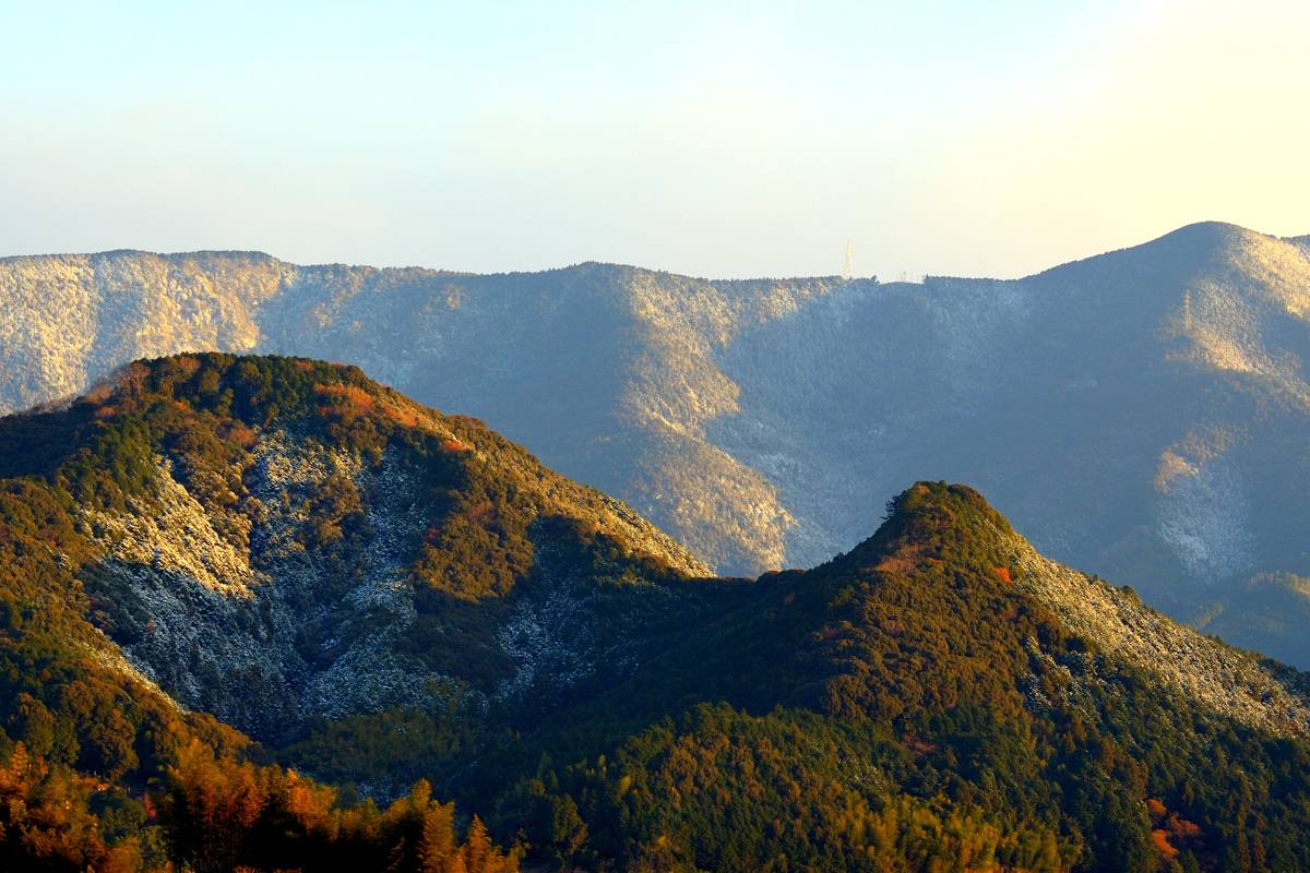
黒尊川の紅葉
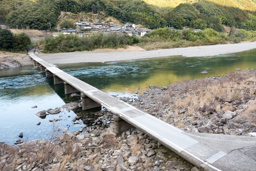
長生沈下橋
四万十川
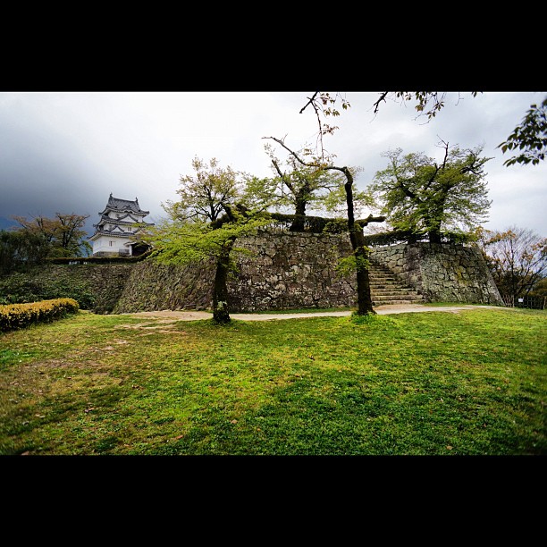
宇和島城6 #castle
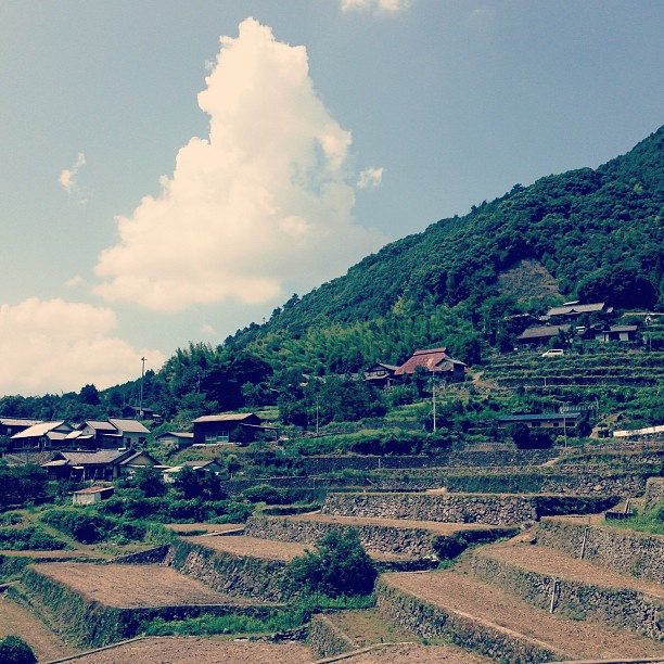
遊鶴羽の棚田。まだまだ夏の雲。
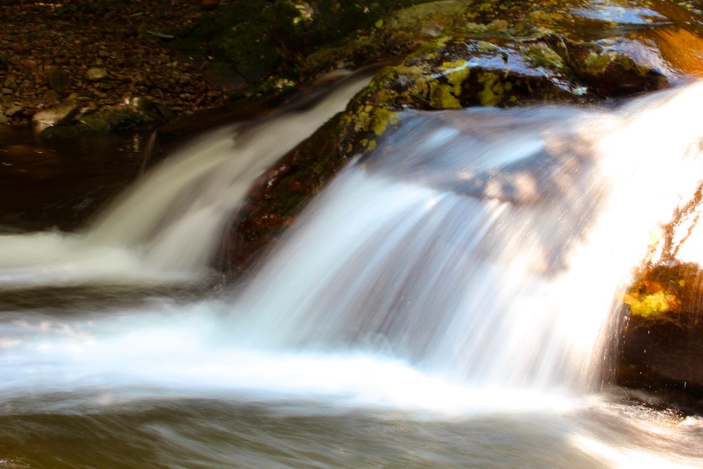
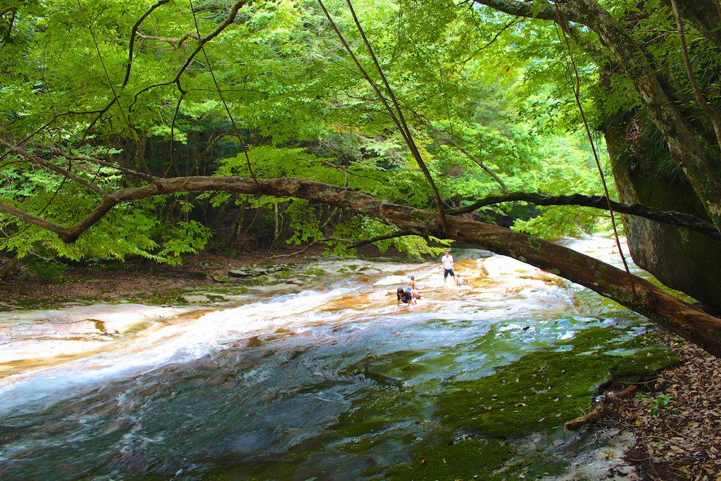
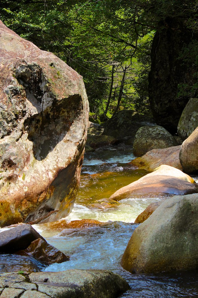
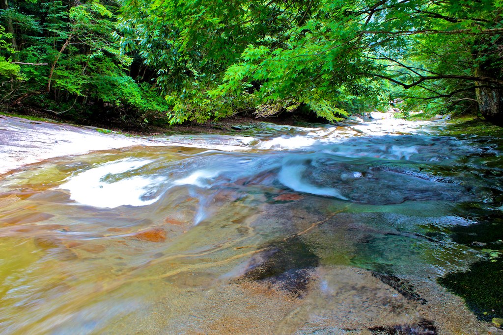
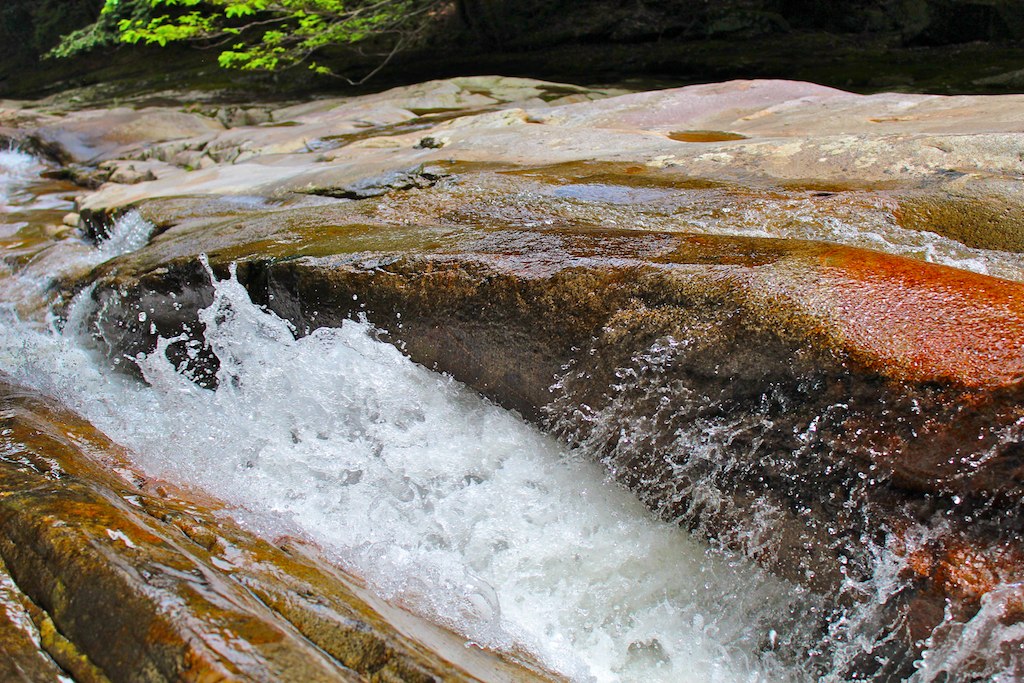
滑床渓谷
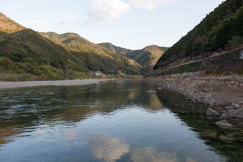
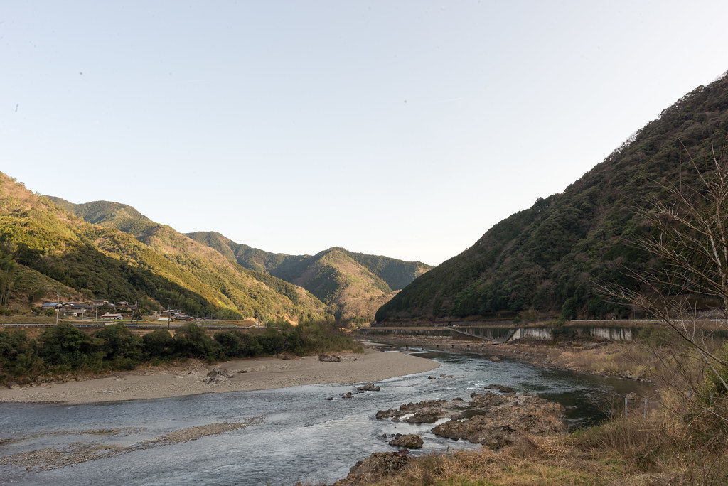
四万十川
滑床渓谷
滑床渓谷
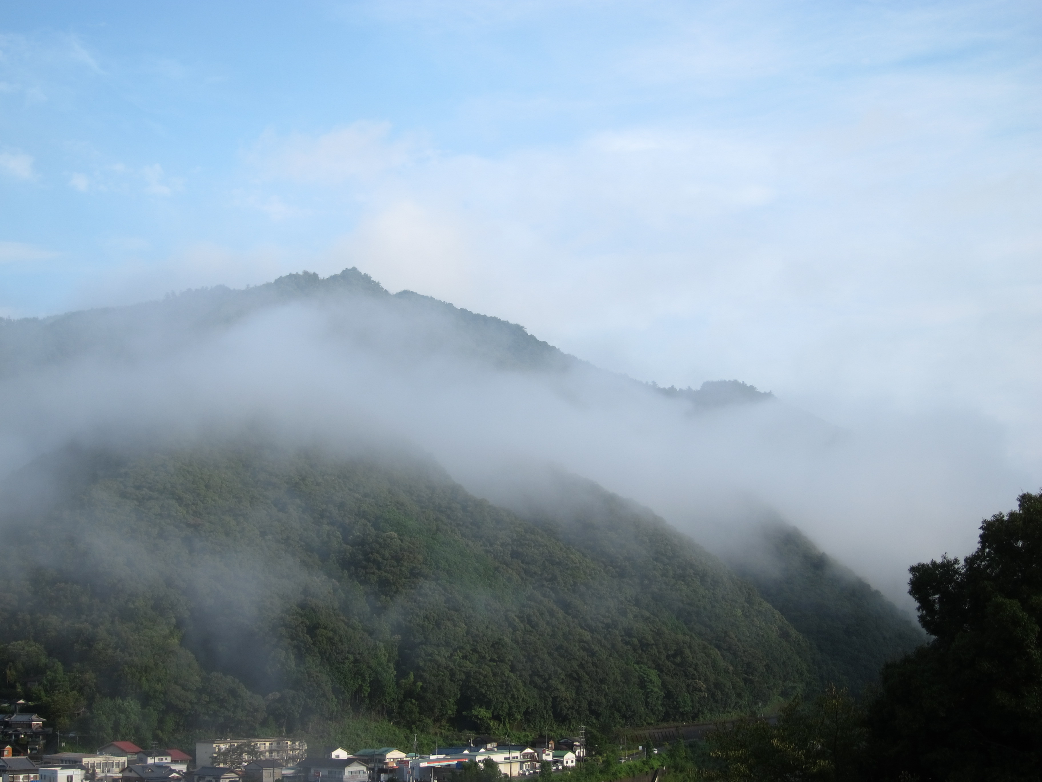
Cold morning !
滑床渓谷
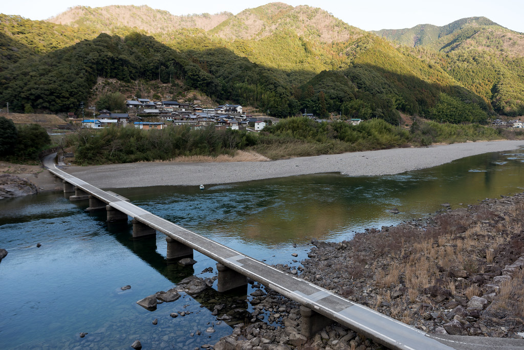
長生沈下橋
IMG_9790.jpg
長生沈下橋
IMG_9799.jpg
滑床渓谷
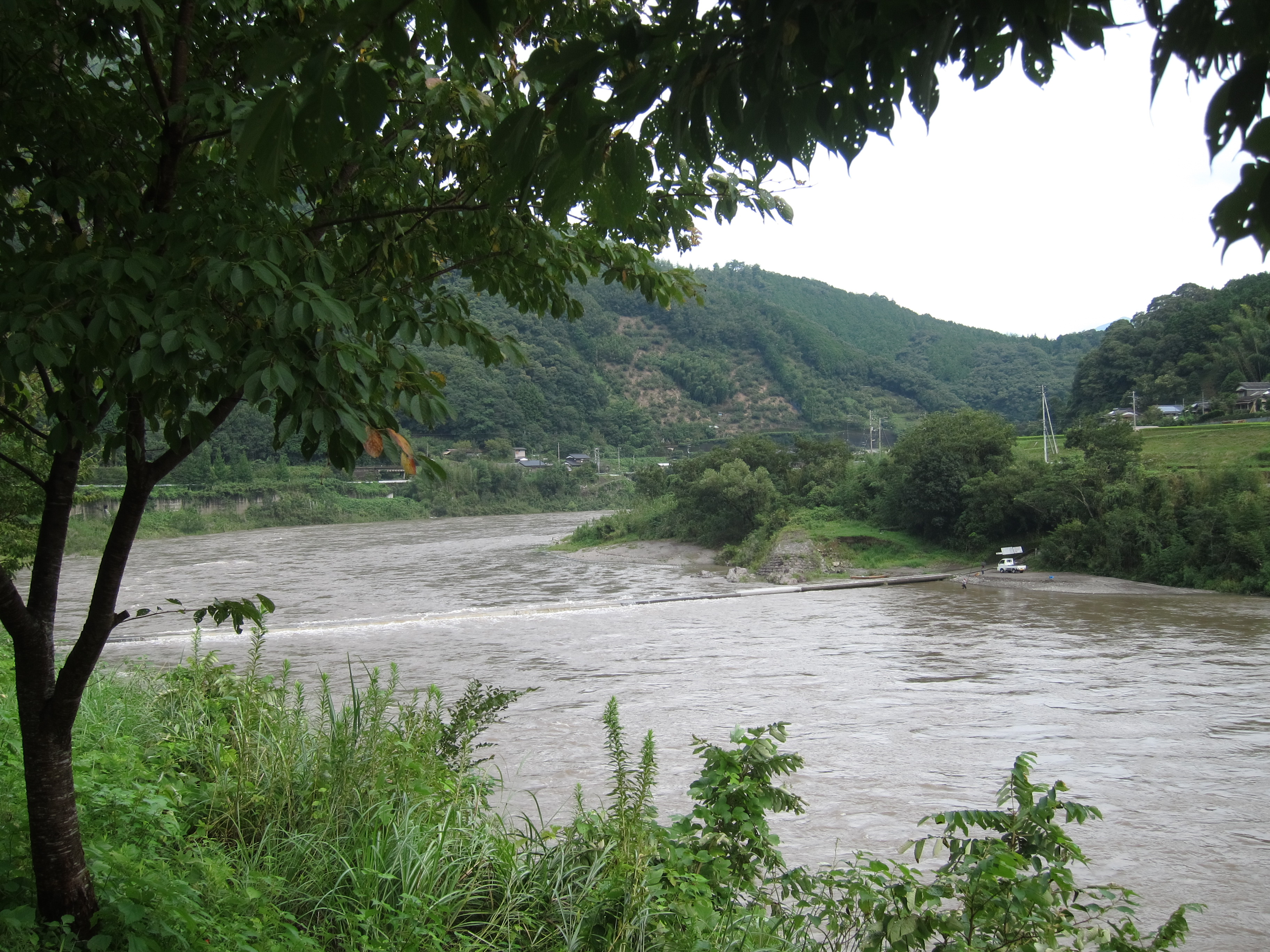
四万十川
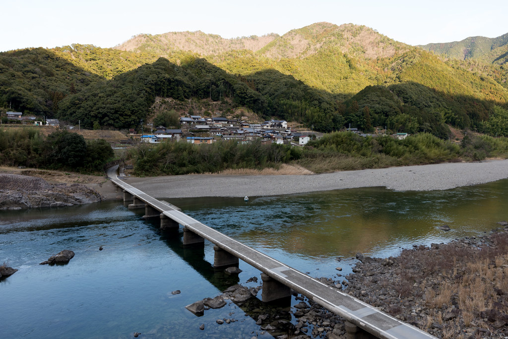
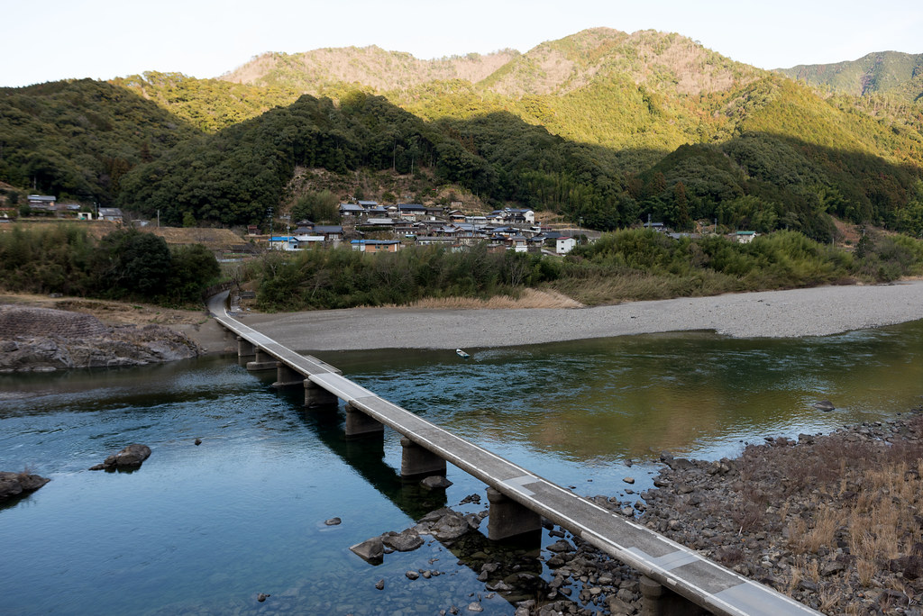
長生沈下橋
長生沈下橋
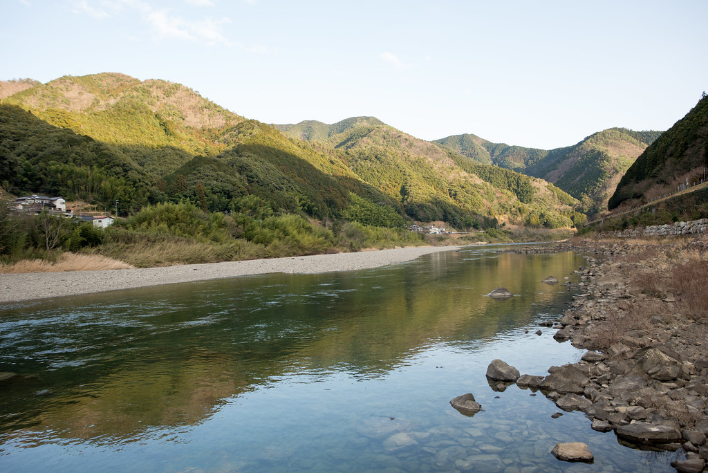
四万十川
四万十川
Topographic Map of Kitauwa District, Ehime Prefecture, Japan
Find elevation by address:

Places in Kitauwa District, Ehime Prefecture, Japan:
Places near Kitauwa District, Ehime Prefecture, Japan:
Nobukawa, Kihoku-chō, Kitauwa-gun, Ehime-ken -, Japan
Izume, Kihoku-chō, Kitauwa-gun, Ehime-ken -, Japan
Kihoku
Nobinono, Matsuno-chō, Kitauwa-gun, Ehime-ken -, Japan
Matsuno
1 Chome-3 Marunouchi
Uwajima Castle
Uwajima
4- Yoshidachō Chinaga, Uwajima-shi, Ehime-ken -, Japan
甲106
Yoshidachō Asakawa, Uwajima-shi, Ehime-ken -, Japan
Yoshidachō Nagimi, Uwajima-shi, Ehime-ken -, Japan
3 Chome- Uwachō Unomachi, Seiyo-shi, Ehime-ken -, Japan
Seiyo
Iibo, Yusuhara-chō, Takaoka-gun, Kōchi-ken -, Japan
Yusuhara
Yusuhara
3785 Tarōgawa
Yusuhara Wooden Bridge Museum Kengo Kuma
Tarogawa
Recent Searches:
- Elevation of W Granada St, Tampa, FL, USA
- Elevation of Pykes Down, Ivybridge PL21 0BY, UK
- Elevation of Jalan Senandin, Lutong, Miri, Sarawak, Malaysia
- Elevation of Bilohirs'k
- Elevation of 30 Oak Lawn Dr, Barkhamsted, CT, USA
- Elevation of Luther Road, Luther Rd, Auburn, CA, USA
- Elevation of Unnamed Road, Respublika Severnaya Osetiya — Alaniya, Russia
- Elevation of Verkhny Fiagdon, North Ossetia–Alania Republic, Russia
- Elevation of F. Viola Hiway, San Rafael, Bulacan, Philippines
- Elevation of Herbage Dr, Gulfport, MS, USA