Elevation of Wyatts Mill Rd, Jarratt, VA, USA
Location: United States > Virginia > Greensville County > >
Longitude: -77.545013
Latitude: 36.83348
Elevation: 66m / 217feet
Barometric Pressure: 101KPa
Elevation Map:
Satellite Map:
Related Photos:

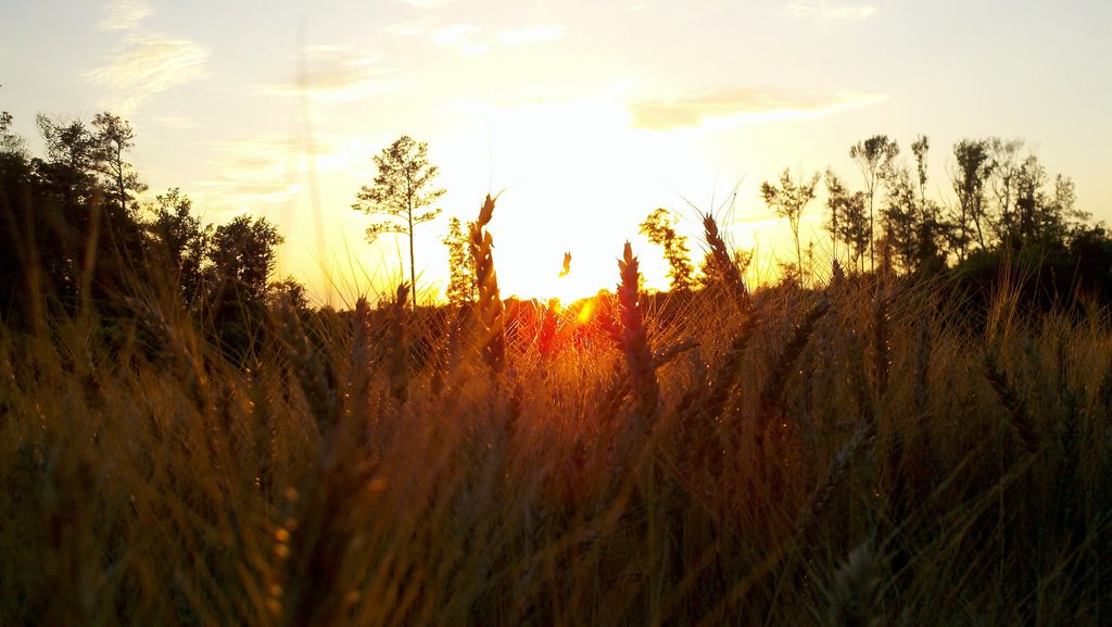
2011-06-02_19-59-12_868.jpg
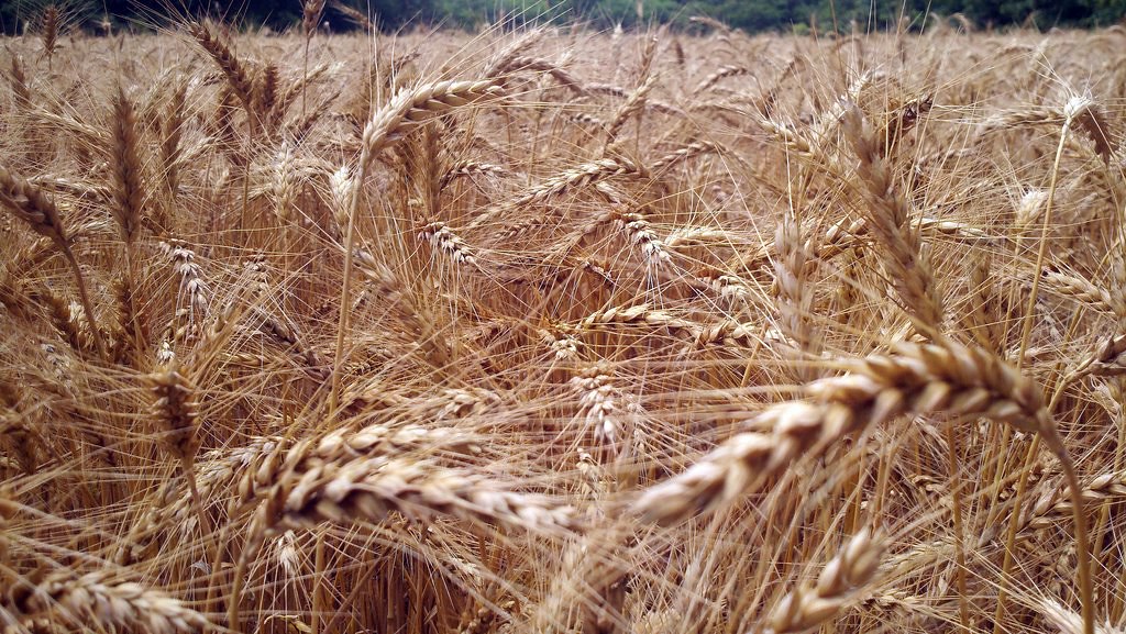
2011-06-02_20-07-17_506
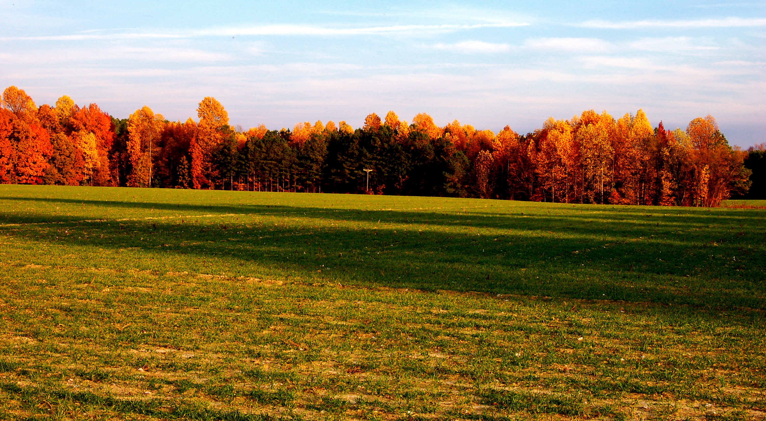
2011-06-05_13-26-44_66
Fallow Peanut Field
IMG_0068.JPG
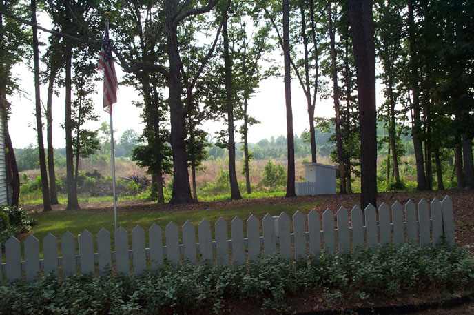
Flag and Outhouse
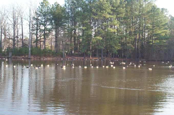
Honk Honk
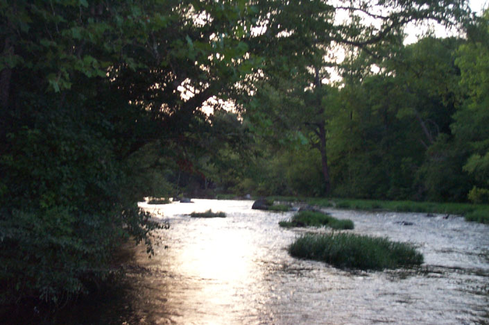
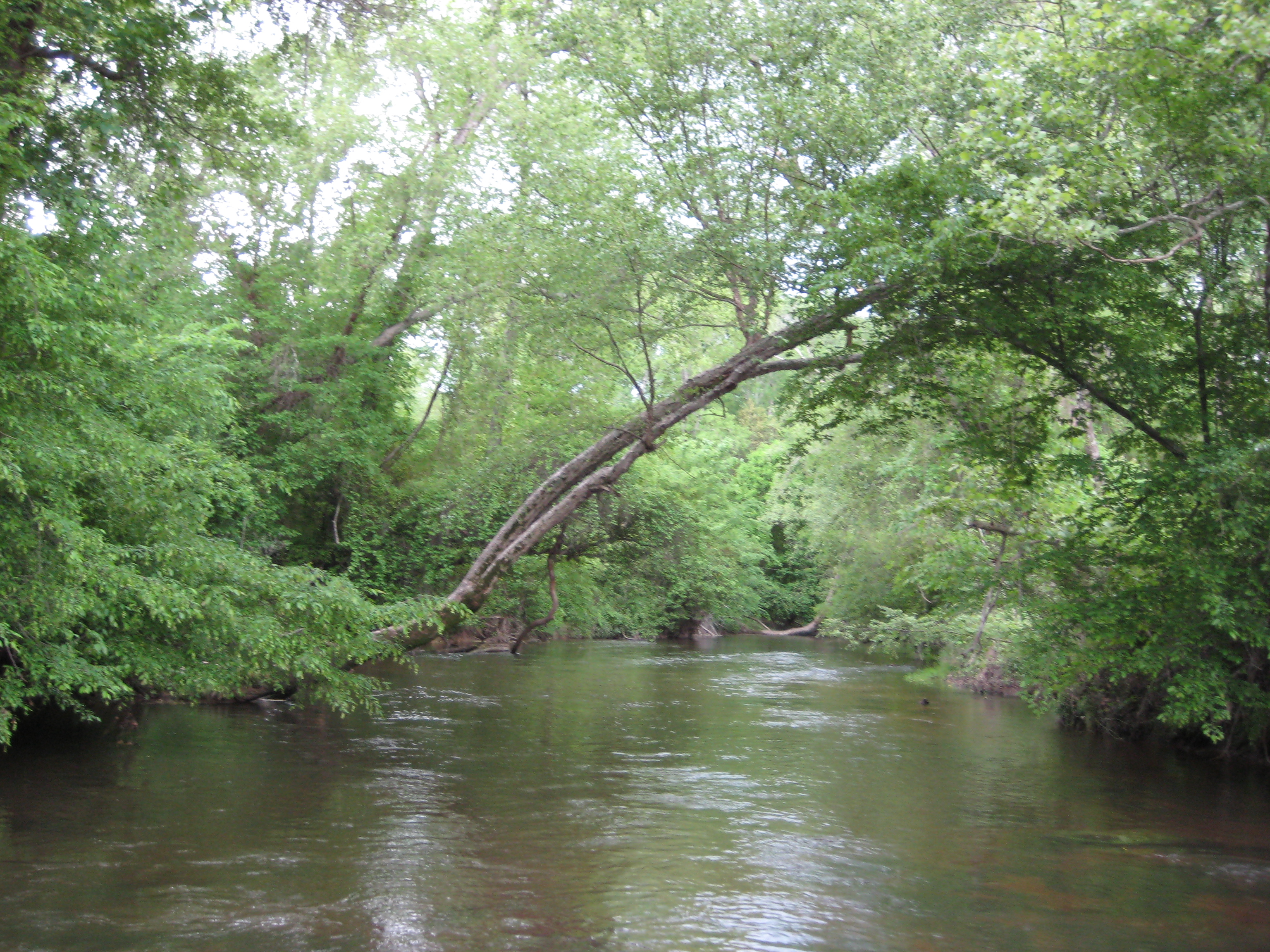
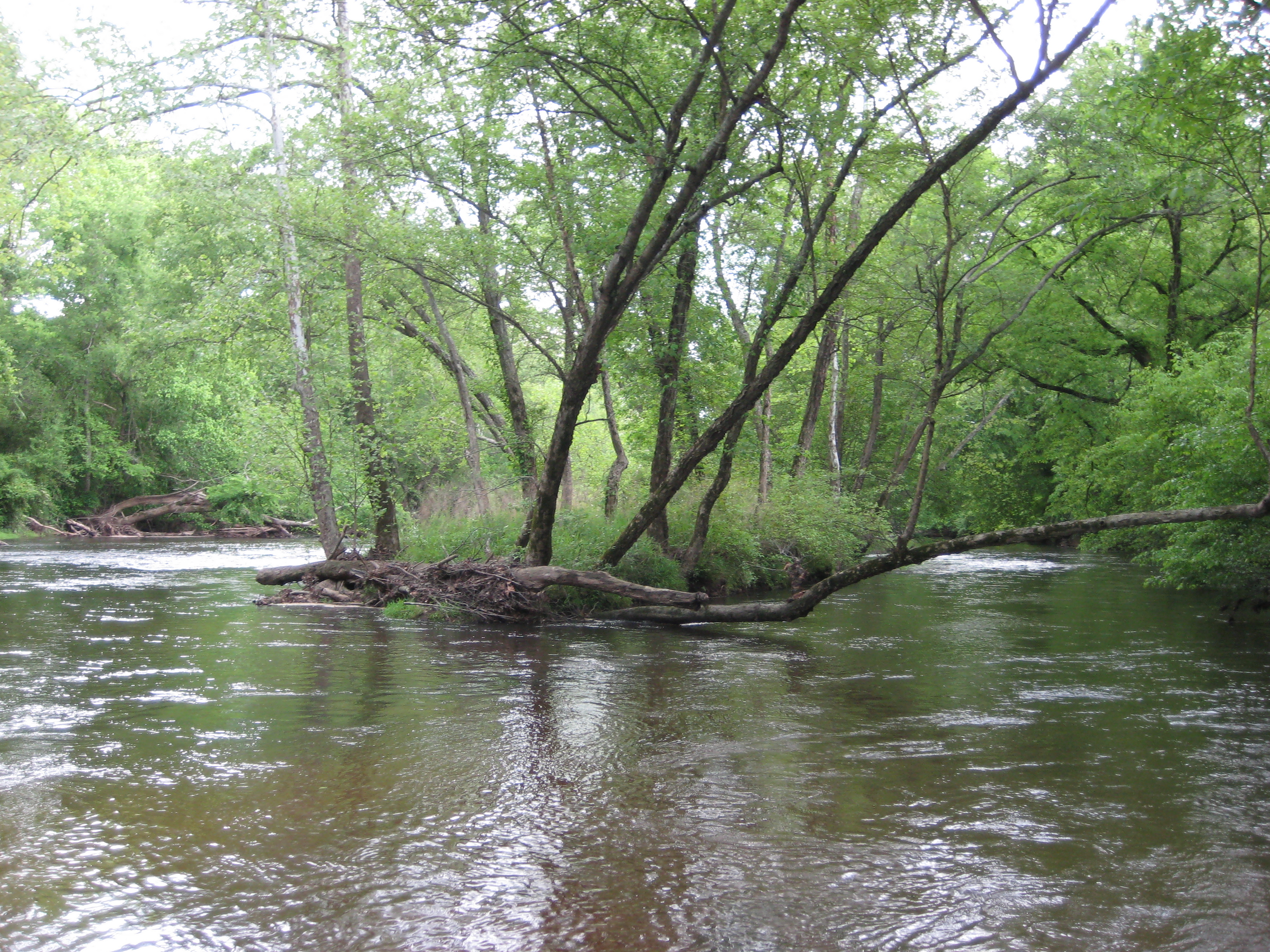
Nottoway River
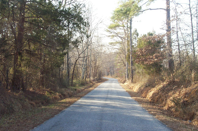
Concord Downhill
IMG_0067.JPG
Topographic Map of Wyatts Mill Rd, Jarratt, VA, USA
Find elevation by address:

Places near Wyatts Mill Rd, Jarratt, VA, USA:
3500 Wyatts Mill Rd
4, VA, USA
Allen Rd, Jarratt, VA, USA
Jarratt
Greensville County Circle
Moonlight Rd, Emporia, VA, USA
Stony Creek
122 Chapman's Ford Rd
McKenney Hwy, McKenney, VA, USA
3, VA, USA
512 N Main St
Halifax St, Emporia, VA, USA
321 Halifax St
805 Brunswick Ave
State Rte, Emporia, VA, USA
Emporia
512 S Main St
Freeman
Low Ground Rd, Emporia, VA, USA
2, VA, USA
Recent Searches:
- Elevation of Sattva Horizon, 4JC6+G9P, Vinayak Nagar, Kattigenahalli, Bengaluru, Karnataka, India
- Elevation of Great Brook Sports, Gold Star Hwy, Groton, CT, USA
- Elevation of 10 Mountain Laurels Dr, Nashua, NH, USA
- Elevation of 16 Gilboa Ln, Nashua, NH, USA
- Elevation of Laurel Rd, Townsend, TN, USA
- Elevation of 3 Nestling Wood Dr, Long Valley, NJ, USA
- Elevation of Ilungu, Tanzania
- Elevation of Yellow Springs Road, Yellow Springs Rd, Chester Springs, PA, USA
- Elevation of Rēzekne Municipality, Latvia
- Elevation of Plikpūrmaļi, Vērēmi Parish, Rēzekne Municipality, LV-, Latvia