Elevation of Brunswick Ave, Emporia, VA, USA
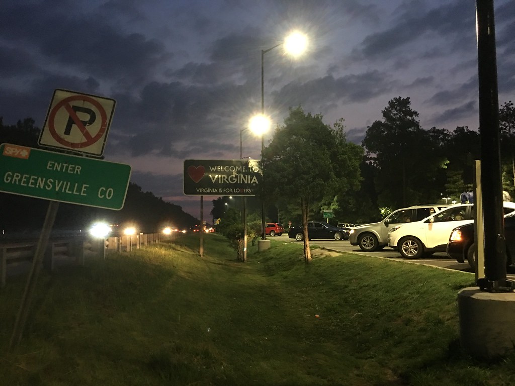
Location: United States > Virginia > Emporia >
Longitude: -77.556008
Latitude: 36.6874184
Elevation: 45m / 148feet
Barometric Pressure: 101KPa
Elevation Map:
Satellite Map:
Related Photos:
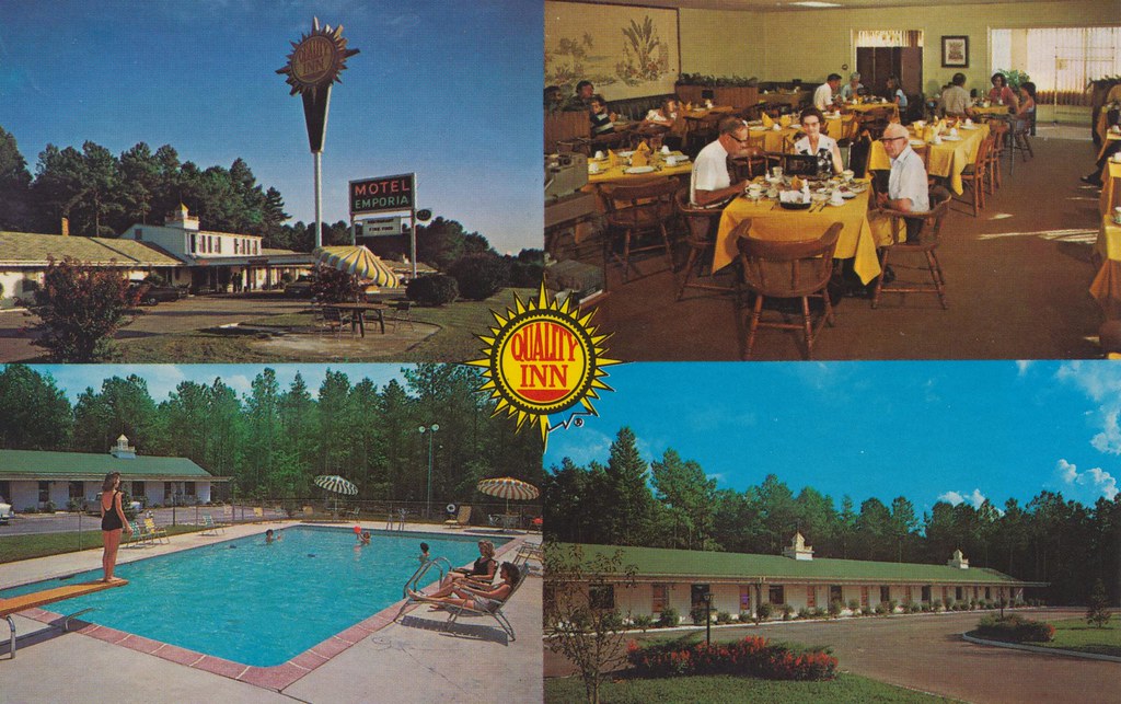
Quality Inn - Emporia, Virginia
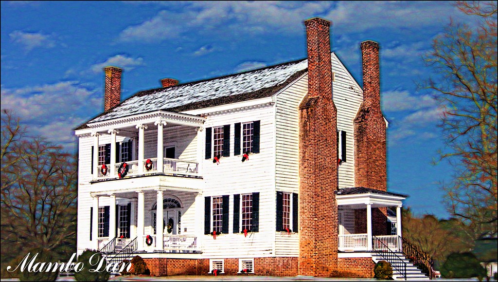
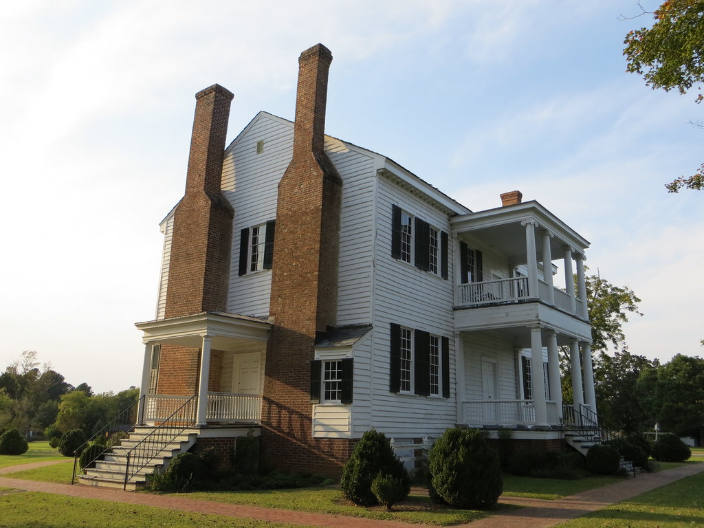
Village View Manson House
Village View (Emporia, Virginia)

Abandoned - different view

Shoney's - Emporia, VA
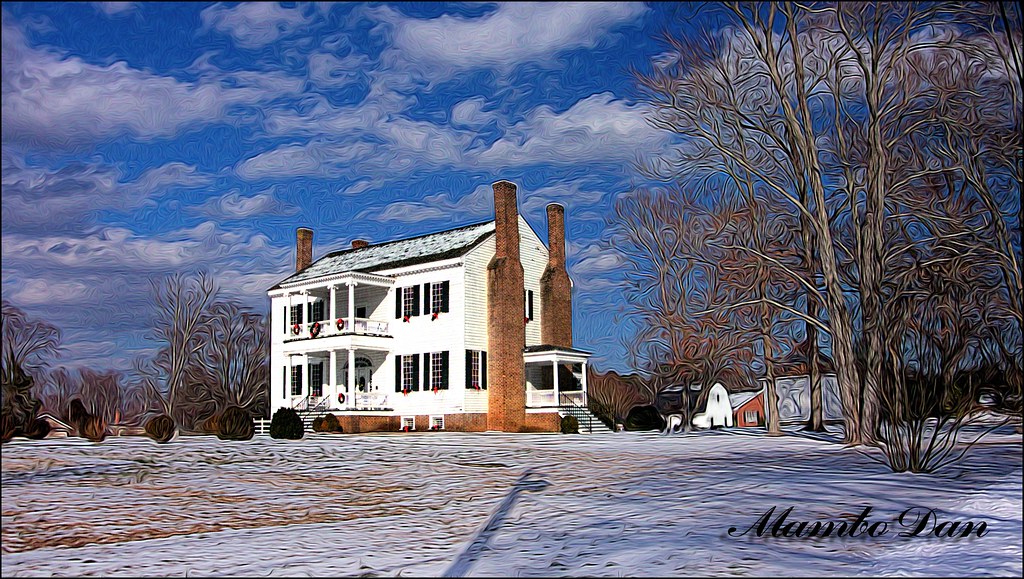
Village View 3 Emporia VA

Village View 2 Emporia VA

20160706 184120 1SL6

Monumental UMC Emporia VA
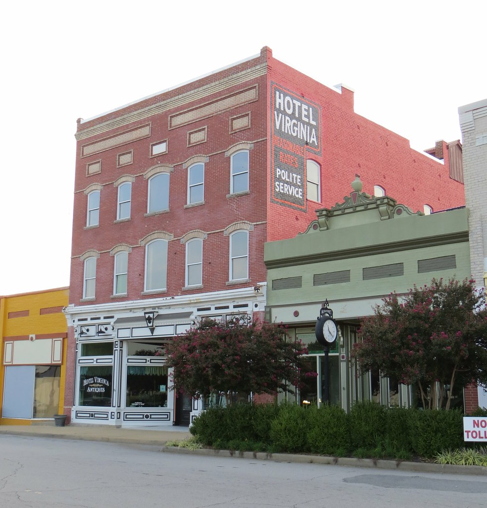
Hotel Virginia 2 Emporia VA
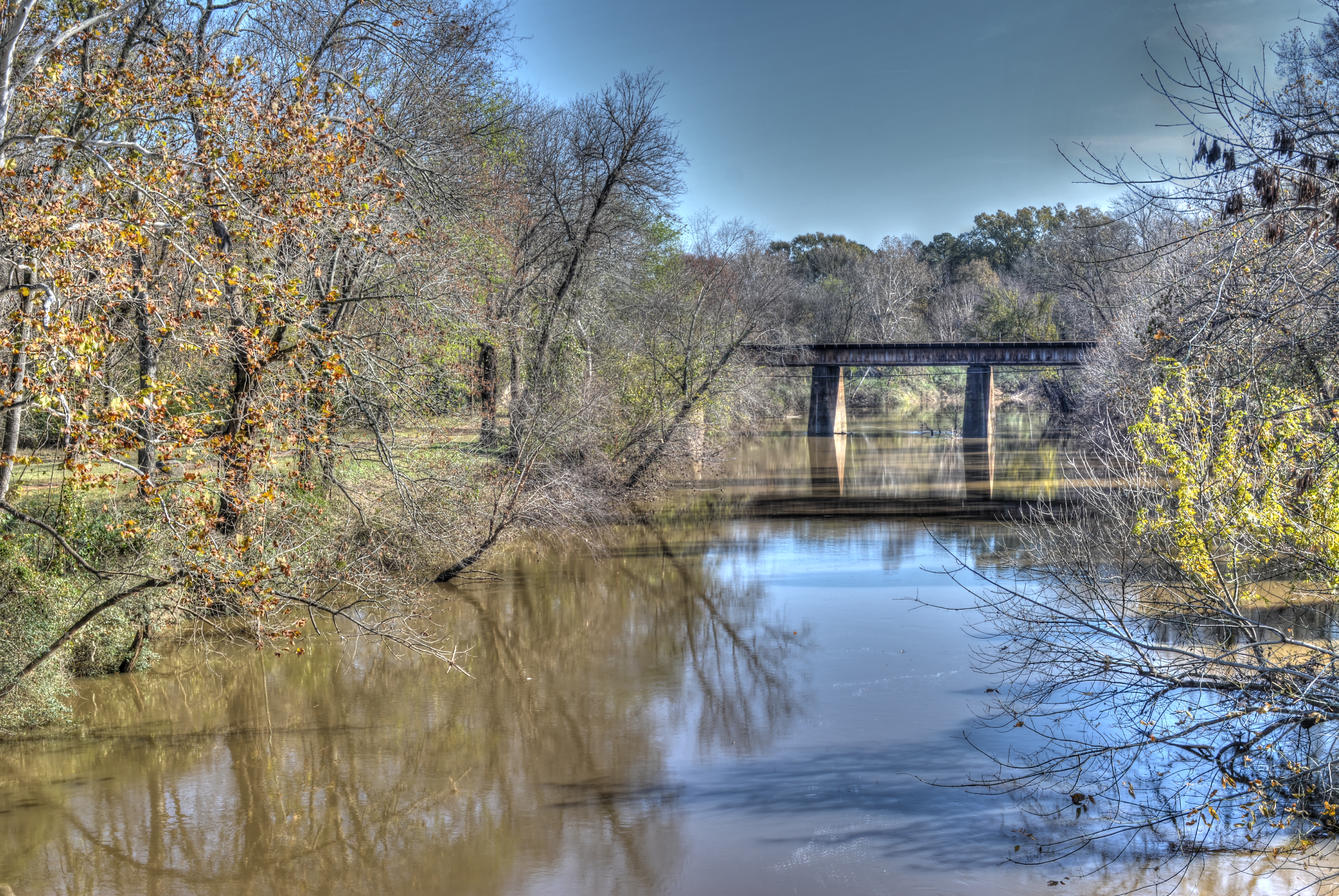
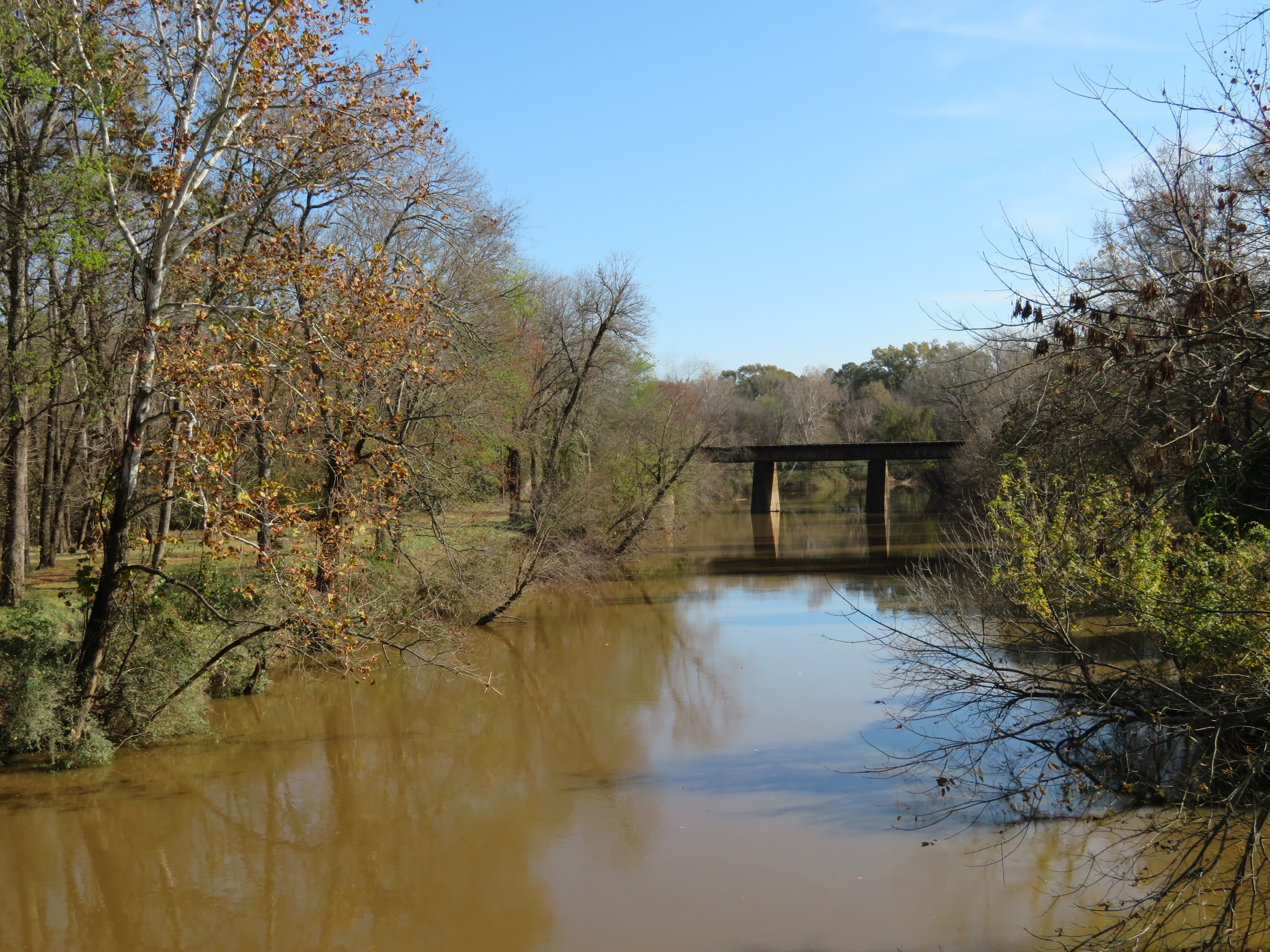
20181125_1 Meherrin River HDR (Emporia VA)
20180615 051935 1SL6
Memorial to Veterans of WWI
Hehe :)
This is a thing.
Roadtrip 09 Day 12 001
Highway To Hell
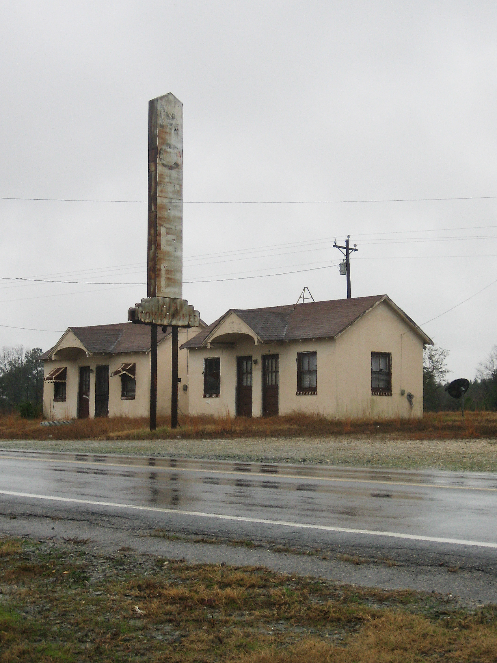
Another Abandoned Motel
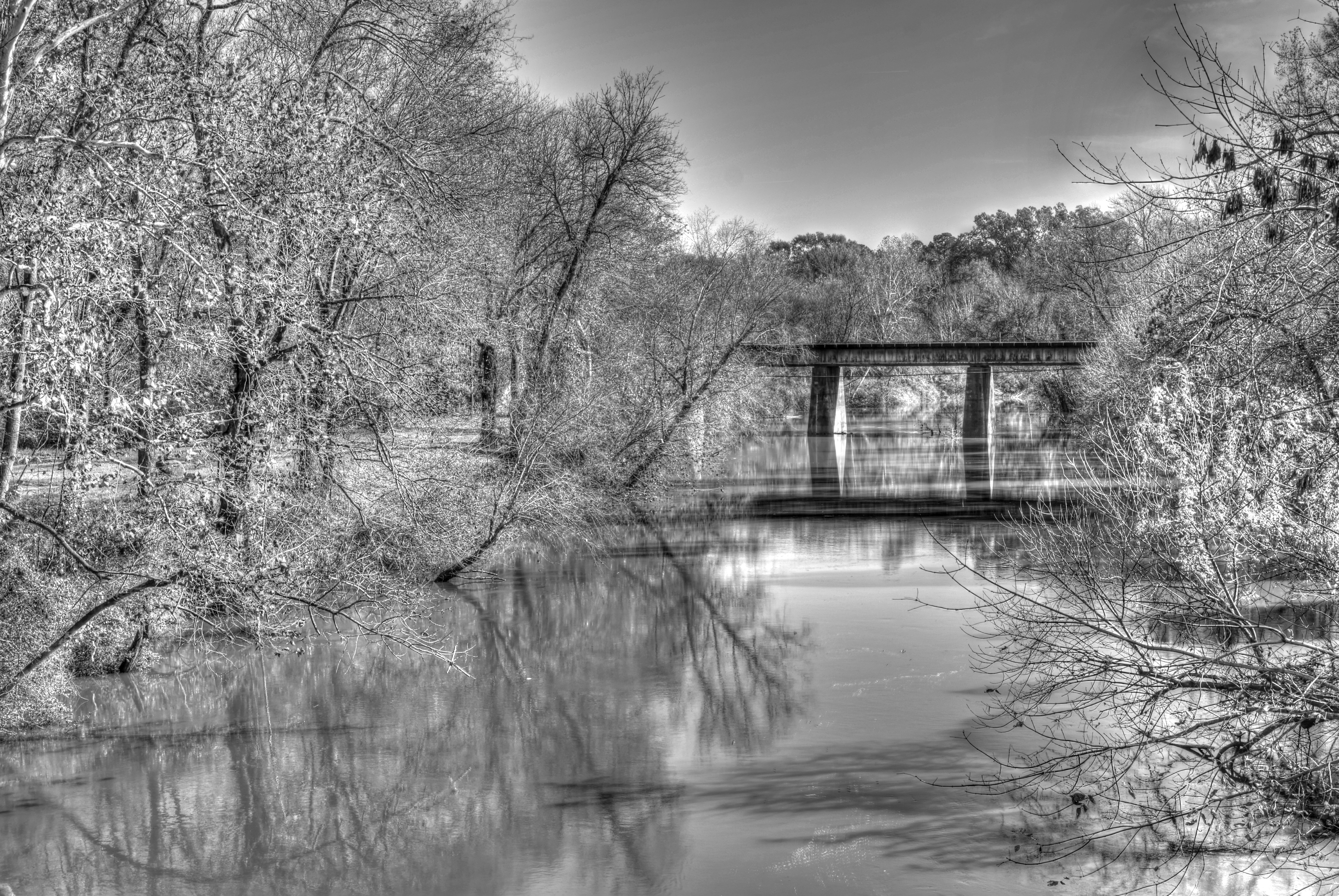
20181125_2 Meherrin River HDR - B&W (Emporia VA)
20181125_4 Second Photo with SX720 (Zoom in)
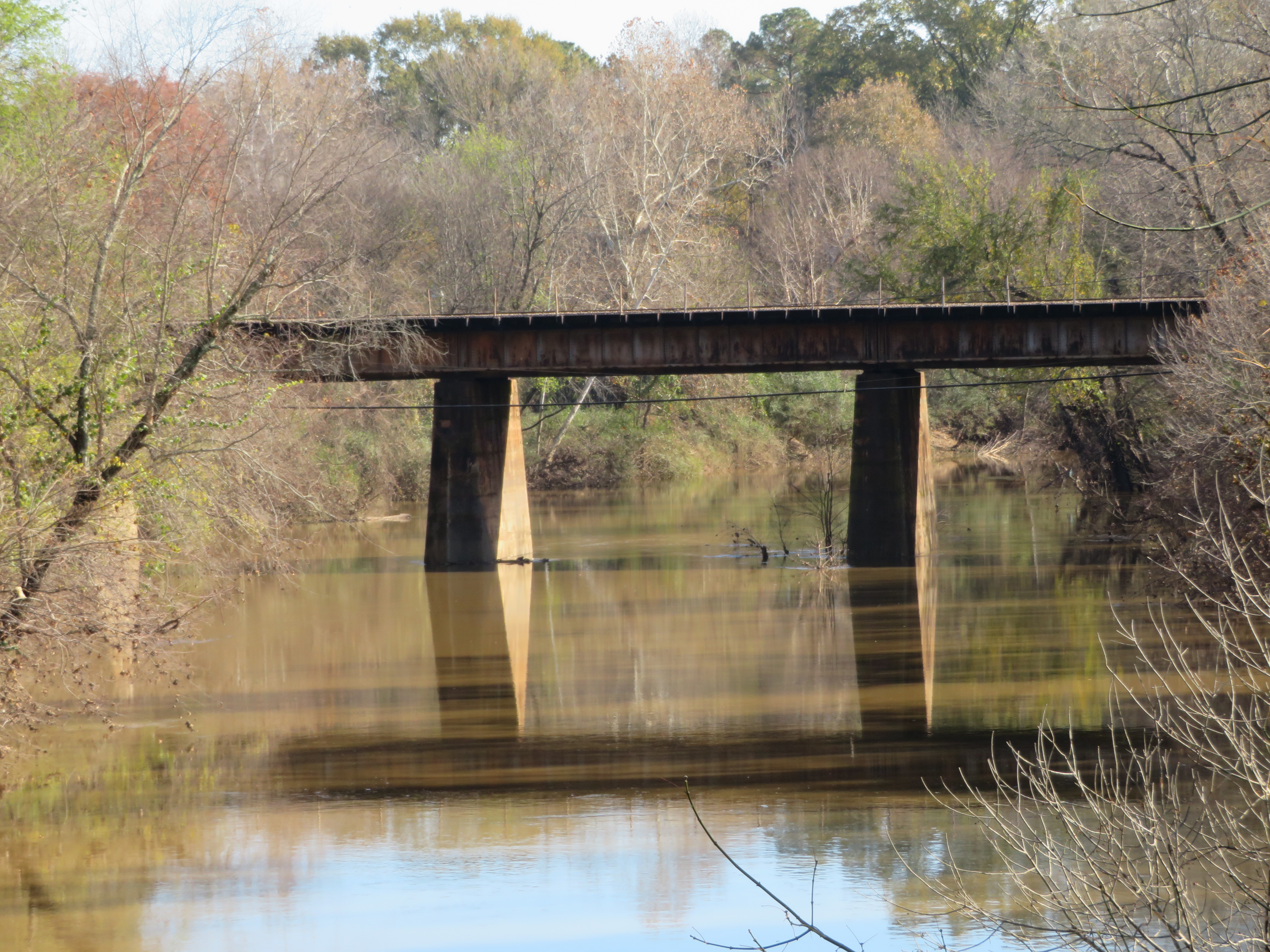
20181125_5 Third Photo with SX720 (Zoom in more)
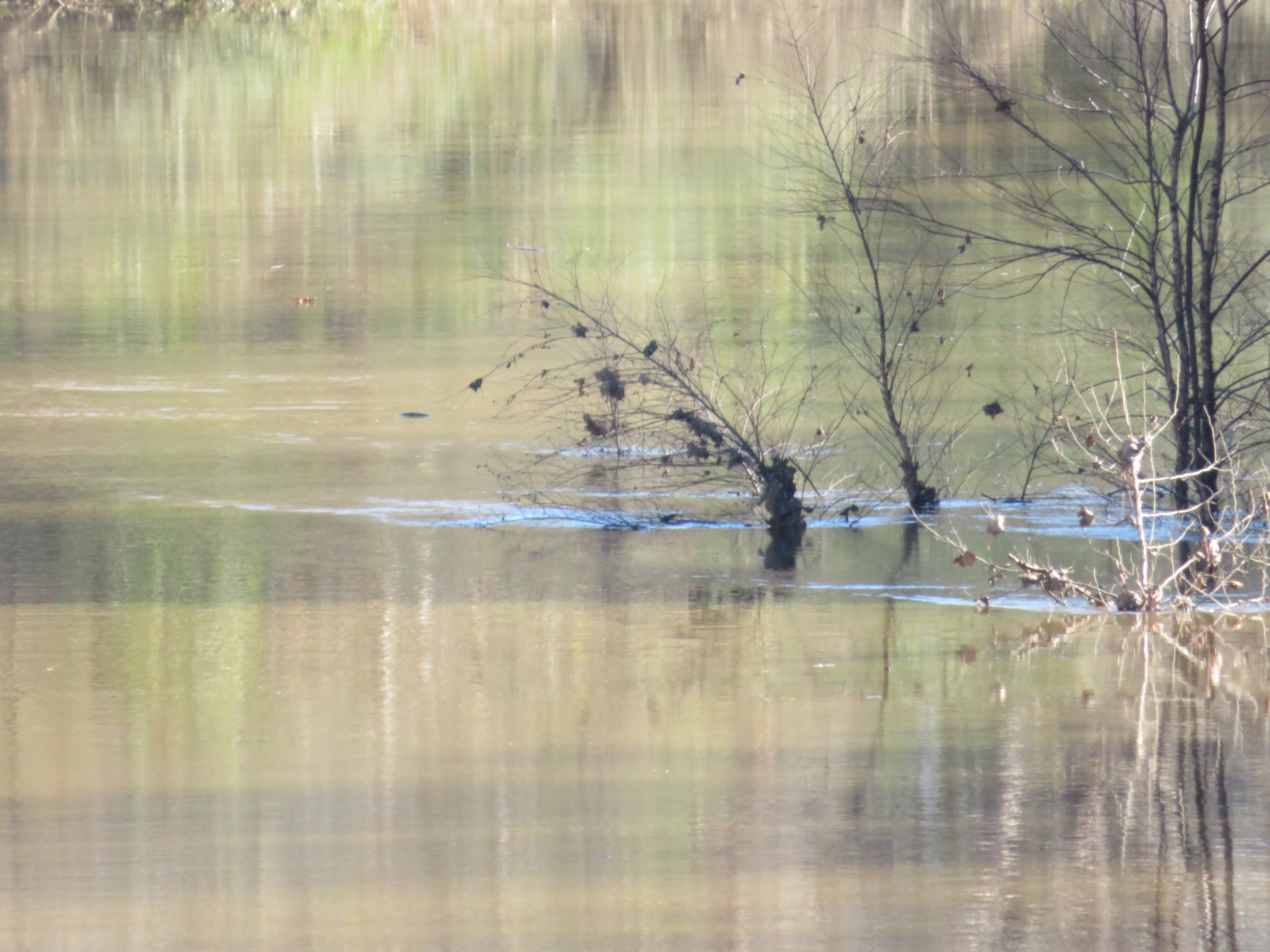
20181125_6 Fourth Photo with SX720 (Zoom to bush)
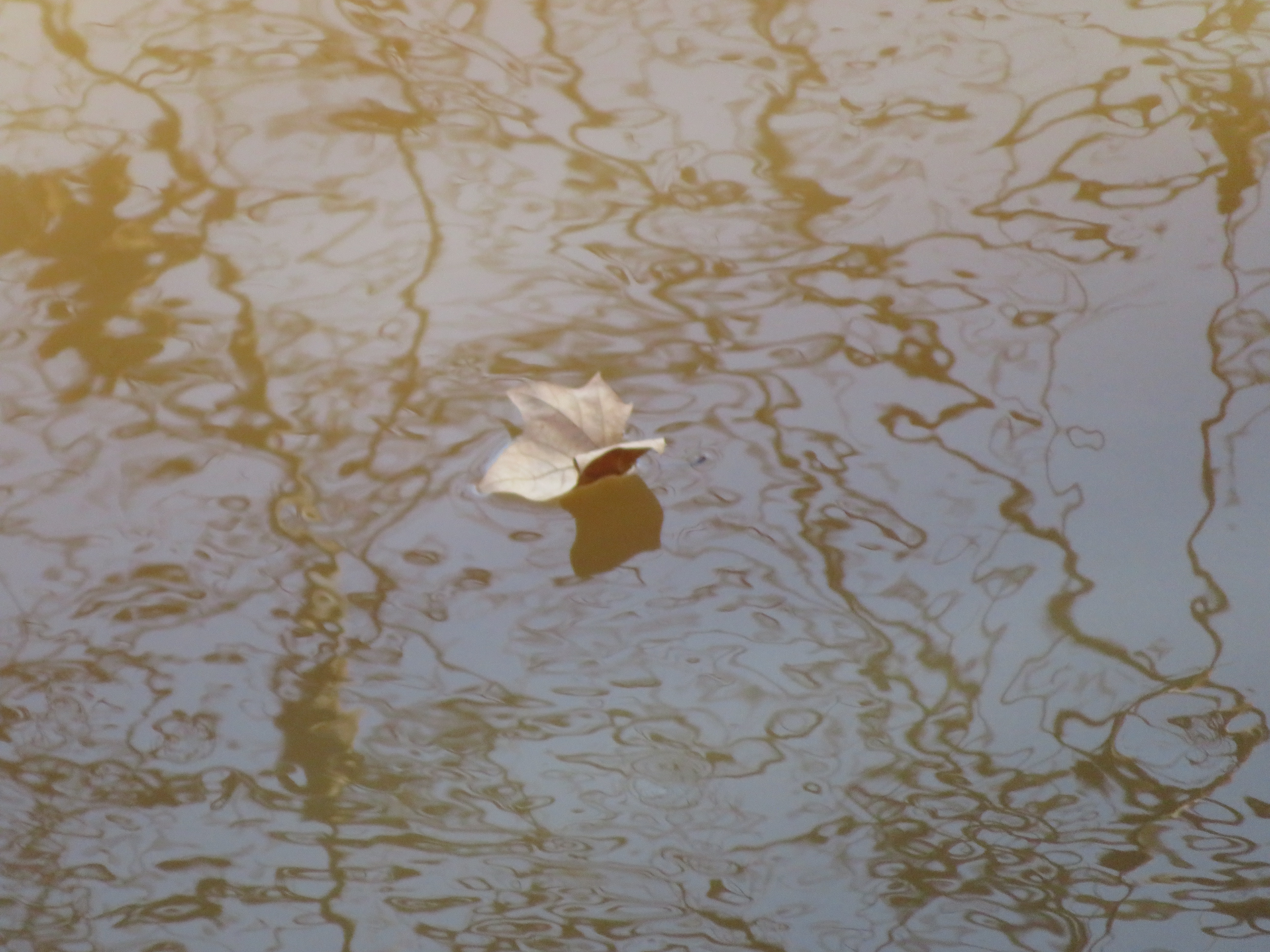
20181125_7 Leaf Falls into Meherrin (Emporia)
20180615 051723 1SL6

The End is near
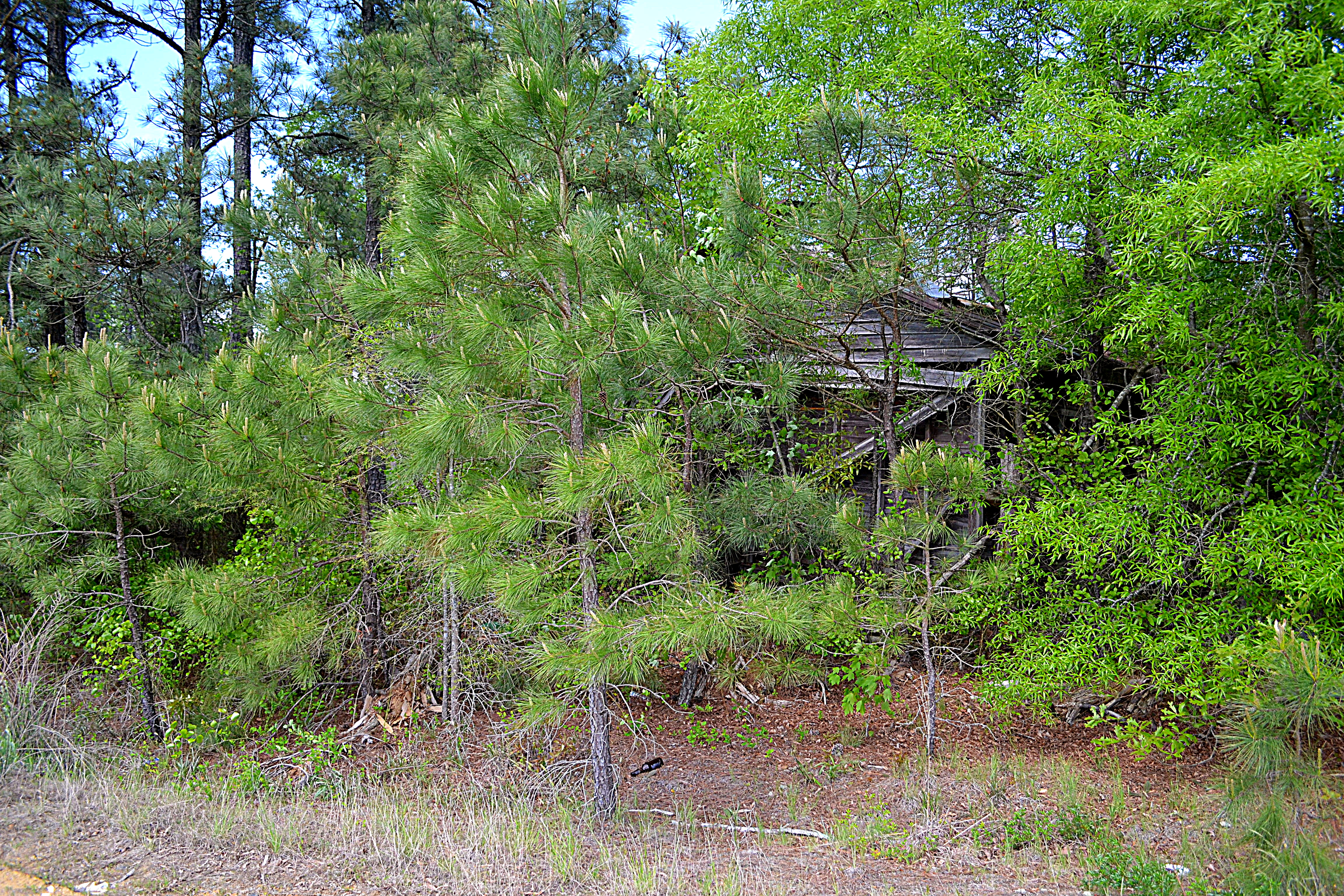
10334 Henry Rd, Jarratt, VA 23867, USA DSC_0621
10334 Henry Rd, Jarratt, VA 23867, USA DSC_0617

10334 Henry Rd, Jarratt, VA 23867, USA DSC_0644
Topographic Map of Brunswick Ave, Emporia, VA, USA
Find elevation by address:

Places near Brunswick Ave, Emporia, VA, USA:
512 S Main St
Emporia
State Rte, Emporia, VA, USA
321 Halifax St
512 N Main St
Halifax St, Emporia, VA, USA
Low Ground Rd, Emporia, VA, USA
Moonlight Rd, Emporia, VA, USA
3, VA, USA
Greensville County Circle
Skippers
2, VA, USA
Skippers Rd, Skippers, VA, USA
122 Chapman's Ford Rd
Greensville County
1, VA, USA
4, VA, USA
Allen Rd, Jarratt, VA, USA
Wyatts Mill Rd, Jarratt, VA, USA
3500 Wyatts Mill Rd
Recent Searches:
- Elevation of 15th Ave SE, St. Petersburg, FL, USA
- Elevation of Beall Road, Beall Rd, Florida, USA
- Elevation of Leguwa, Nepal
- Elevation of County Rd, Enterprise, AL, USA
- Elevation of Kolchuginsky District, Vladimir Oblast, Russia
- Elevation of Shustino, Vladimir Oblast, Russia
- Elevation of Lampiasi St, Sarasota, FL, USA
- Elevation of Elwyn Dr, Roanoke Rapids, NC, USA
- Elevation of Congressional Dr, Stevensville, MD, USA
- Elevation of Bellview Rd, McLean, VA, USA