Elevation of McKenney Hwy, McKenney, VA, USA
Location: United States > Virginia > Dinwiddie County > >
Longitude: -77.618491
Latitude: 36.947221
Elevation: 95m / 312feet
Barometric Pressure: 100KPa
Elevation Map:
Satellite Map:
Related Photos:
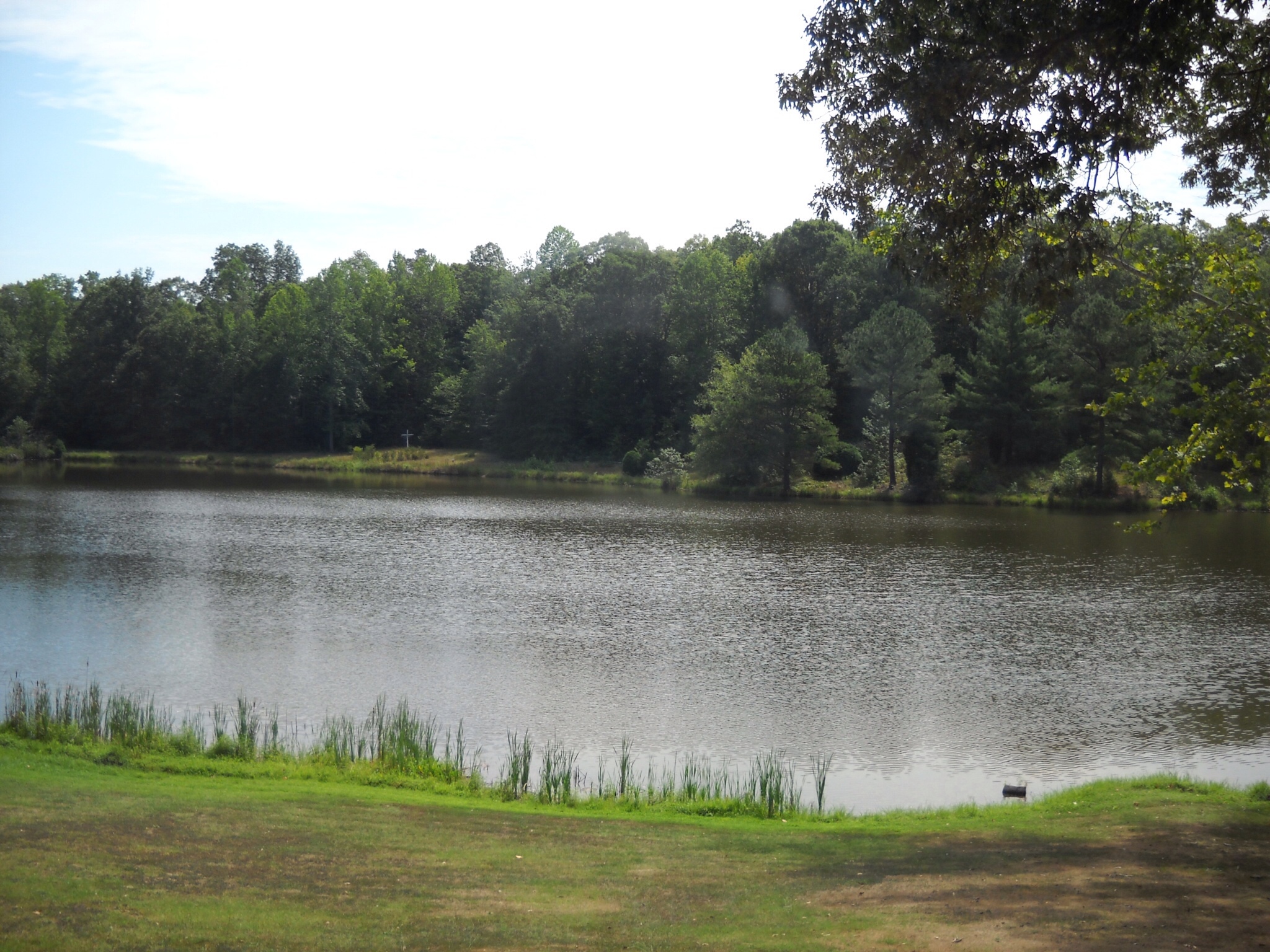
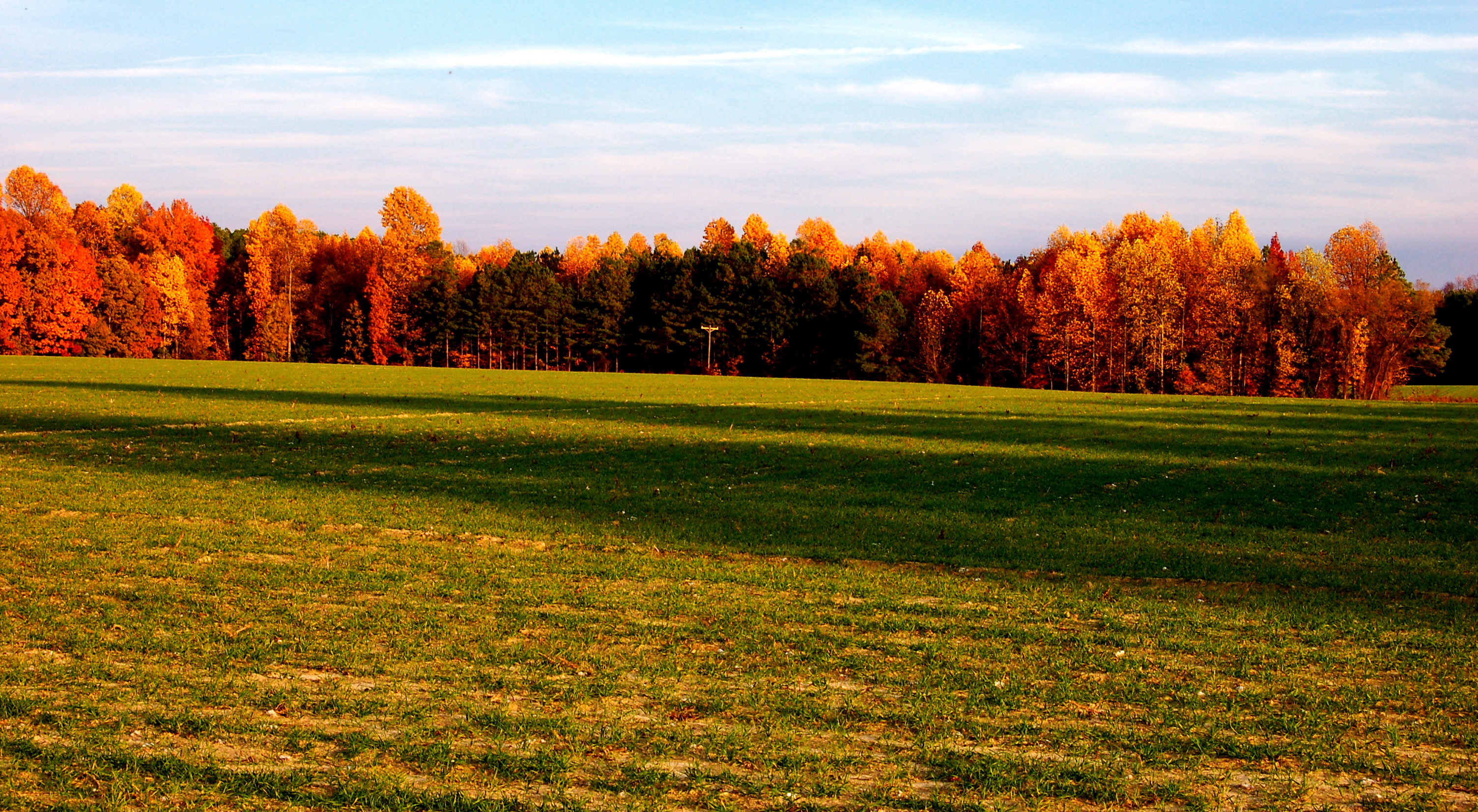
View from The Home Place Restaurant

Stony Creek Bridge, Portal View
IMG_0068.JPG
2011-06-02_19-59-12_868.jpg
2011-06-02_20-07-17_506
2011-06-05_13-26-44_66
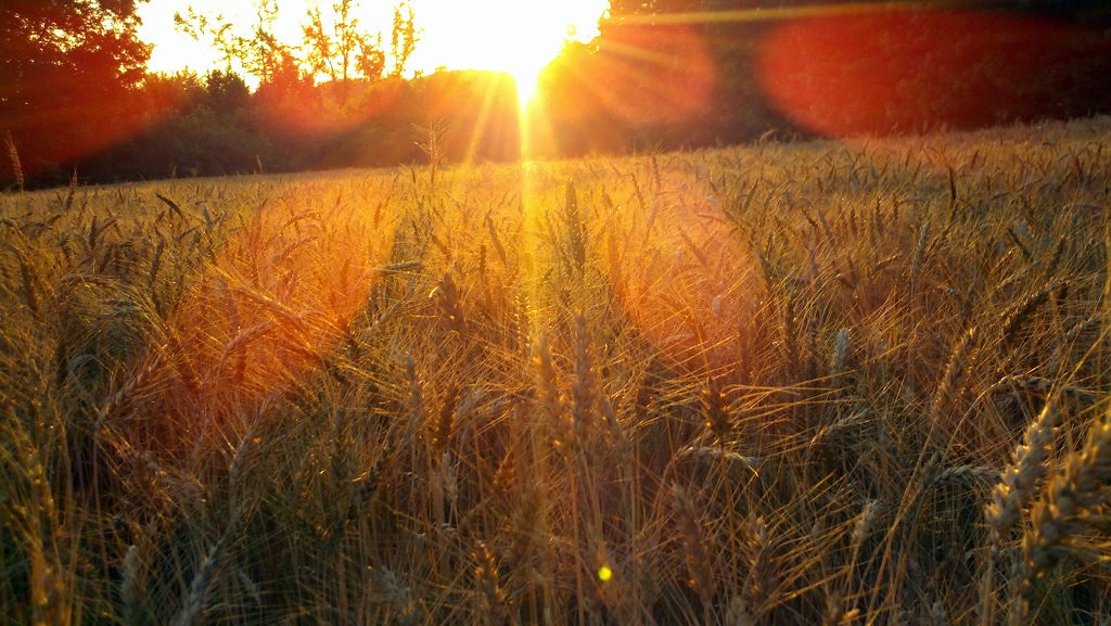
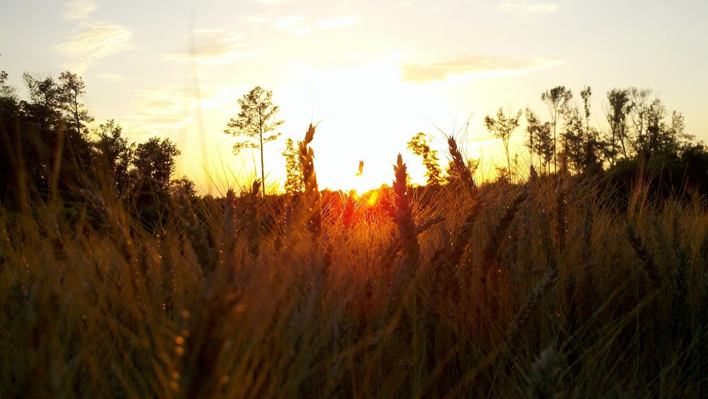
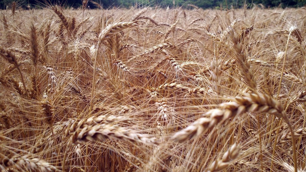
Fallow Peanut Field
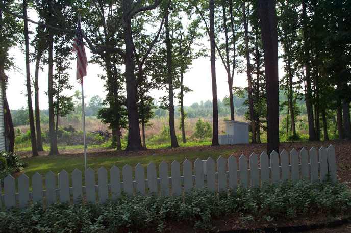
Flag and Outhouse
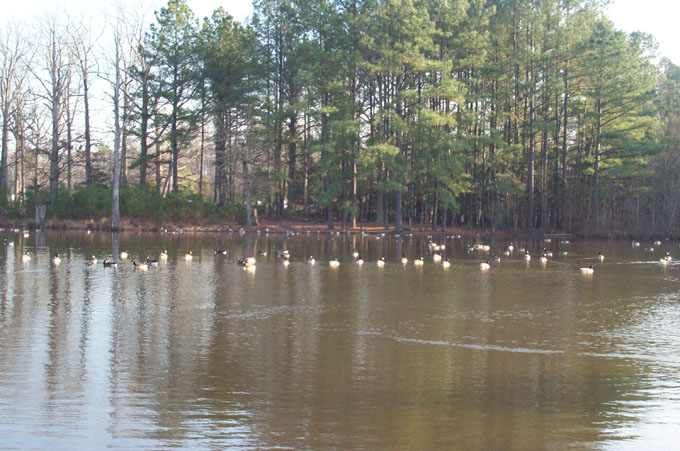
Honk Honk
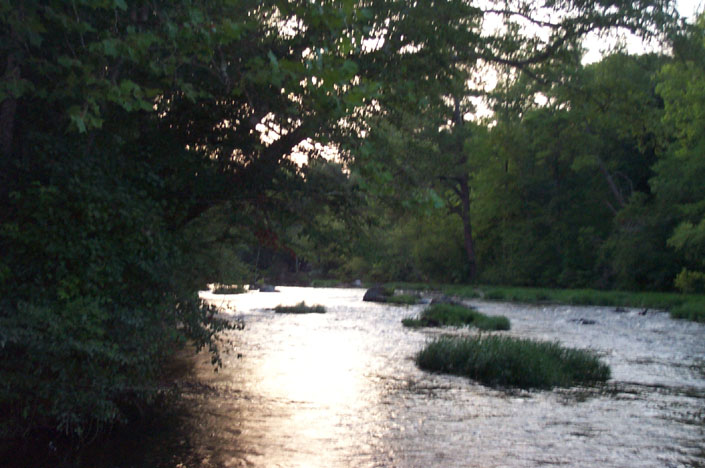
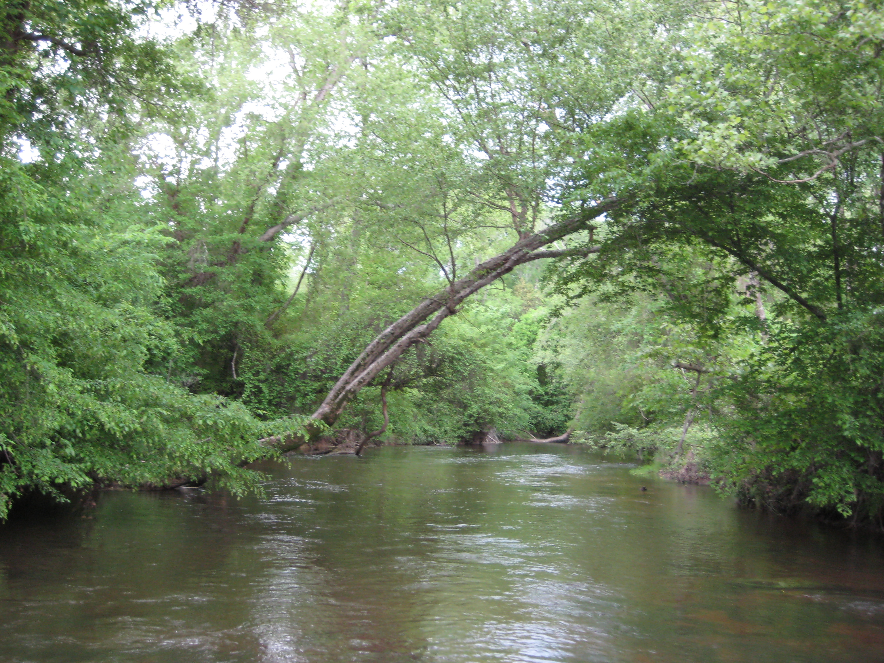
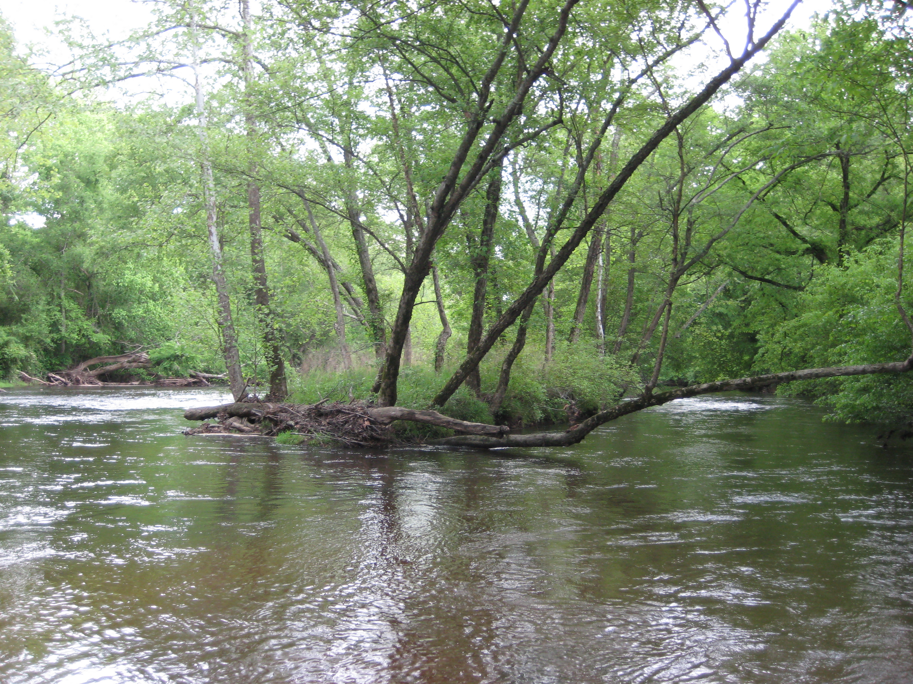
Nottoway River
Concord Downhill
IMG_0067.JPG
Topographic Map of McKenney Hwy, McKenney, VA, USA
Find elevation by address:

Places near McKenney Hwy, McKenney, VA, USA:
Dewitt
Boydton Plank Rd, Dewitt, VA, USA
4, VA, USA
District 5
Dinwiddie
Dinwiddie County
Wyatts Mill Rd, Jarratt, VA, USA
3500 Wyatts Mill Rd
19714 Manson Church Rd
18059 Bonneville Ln
4, VA, USA
Stony Creek
Allen Rd, Jarratt, VA, USA
Jarratt
Freeman
122 Chapman's Ford Rd
Stony Creek
9610 Baltimore Rd
Attaway Miniature Schnauzers
11145 Vaughan Rd
Recent Searches:
- Elevation of Rojo Ct, Atascadero, CA, USA
- Elevation of Flagstaff Drive, Flagstaff Dr, North Carolina, USA
- Elevation of Avery Ln, Lakeland, FL, USA
- Elevation of Woolwine, VA, USA
- Elevation of Lumagwas Diversified Farmers Multi-Purpose Cooperative, Lumagwas, Adtuyon, RV32+MH7, Pangantucan, Bukidnon, Philippines
- Elevation of Homestead Ridge, New Braunfels, TX, USA
- Elevation of Orchard Road, Orchard Rd, Marlborough, NY, USA
- Elevation of 12 Hutchinson Woods Dr, Fletcher, NC, USA
- Elevation of Holloway Ave, San Francisco, CA, USA
- Elevation of Norfolk, NY, USA