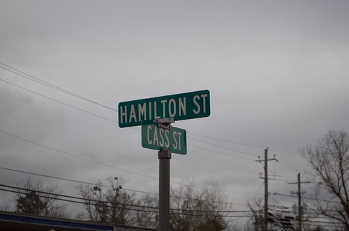
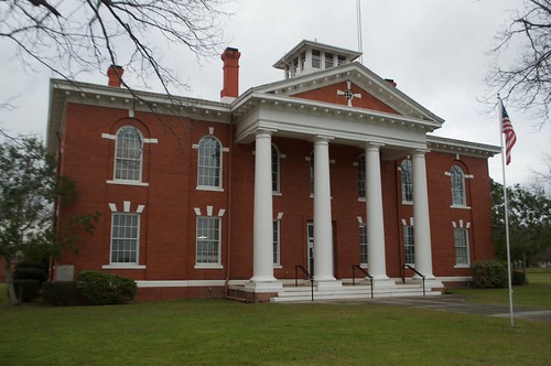
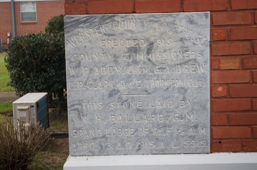
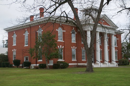
Elevation of Wilson Pond Rd, Preston, GA, USA
Location: United States > Georgia > Webster County > Preston >
Longitude: -84.569743
Latitude: 32.1303004
Elevation: 177m / 581feet
Barometric Pressure: 99KPa
Related Photos:
Topographic Map of Wilson Pond Rd, Preston, GA, USA
Find elevation by address:

Places near Wilson Pond Rd, Preston, GA, USA:
Preston
565 Hamilton St
272 Broad St
Wall St, Richland, GA, USA
Richland
GA-30, Buena Vista, GA, USA
Webster County
Tolleson Rd, Preston, GA, USA
Co Rd 96, Buena Vista, GA, USA
Red Hill Church Road
Kimbrough Rd, Richland, GA, USA
GA-41, Weston, GA, USA
Weston
McAllister Rd, Buena Vista, GA, USA
US-, Richland, GA, USA
Co Rd, Buena Vista, GA, USA
Buena Vista
Plains
S Bond St, Plains, GA, USA
Marion County
Recent Searches:
- Elevation of Lampiasi St, Sarasota, FL, USA
- Elevation of Elwyn Dr, Roanoke Rapids, NC, USA
- Elevation of Congressional Dr, Stevensville, MD, USA
- Elevation of Bellview Rd, McLean, VA, USA
- Elevation of Stage Island Rd, Chatham, MA, USA
- Elevation of Shibuya Scramble Crossing, 21 Udagawacho, Shibuya City, Tokyo -, Japan
- Elevation of Jadagoniai, Kaunas District Municipality, Lithuania
- Elevation of Pagonija rock, Kranto 7-oji g. 8"N, Kaunas, Lithuania
- Elevation of Co Rd 87, Jamestown, CO, USA
- Elevation of Tenjo, Cundinamarca, Colombia


