Elevation of Red Hill Church Road, Red Hill Church Rd, Georgia, USA
Location: United States > Georgia > Stewart County > Richland >
Longitude: -84.692013
Latitude: 32.1373343
Elevation: 190m / 623feet
Barometric Pressure: 99KPa
Elevation Map:
Satellite Map:
Related Photos:
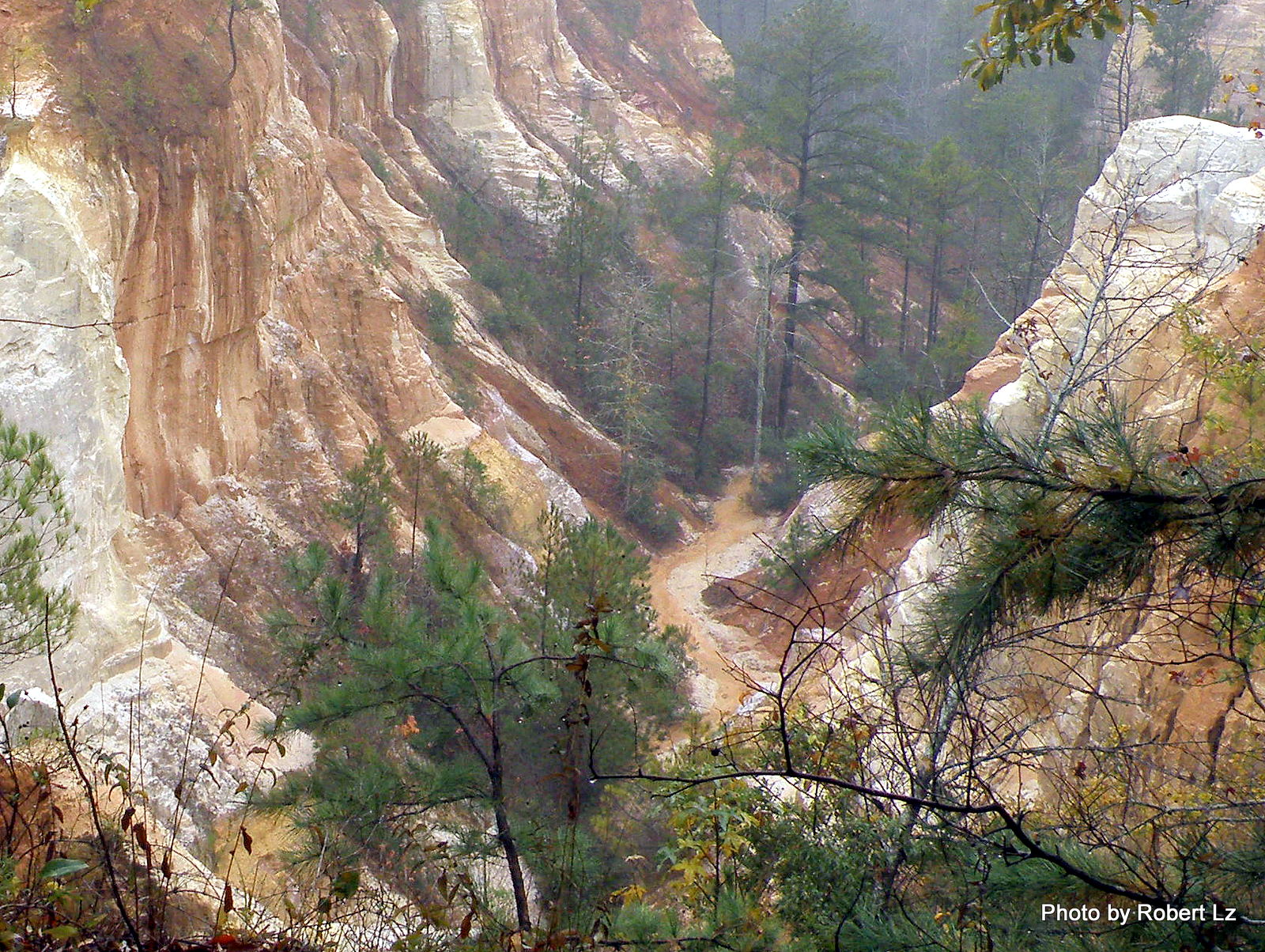
The Creek in the Canyon is the Trail-You Will Get Wet
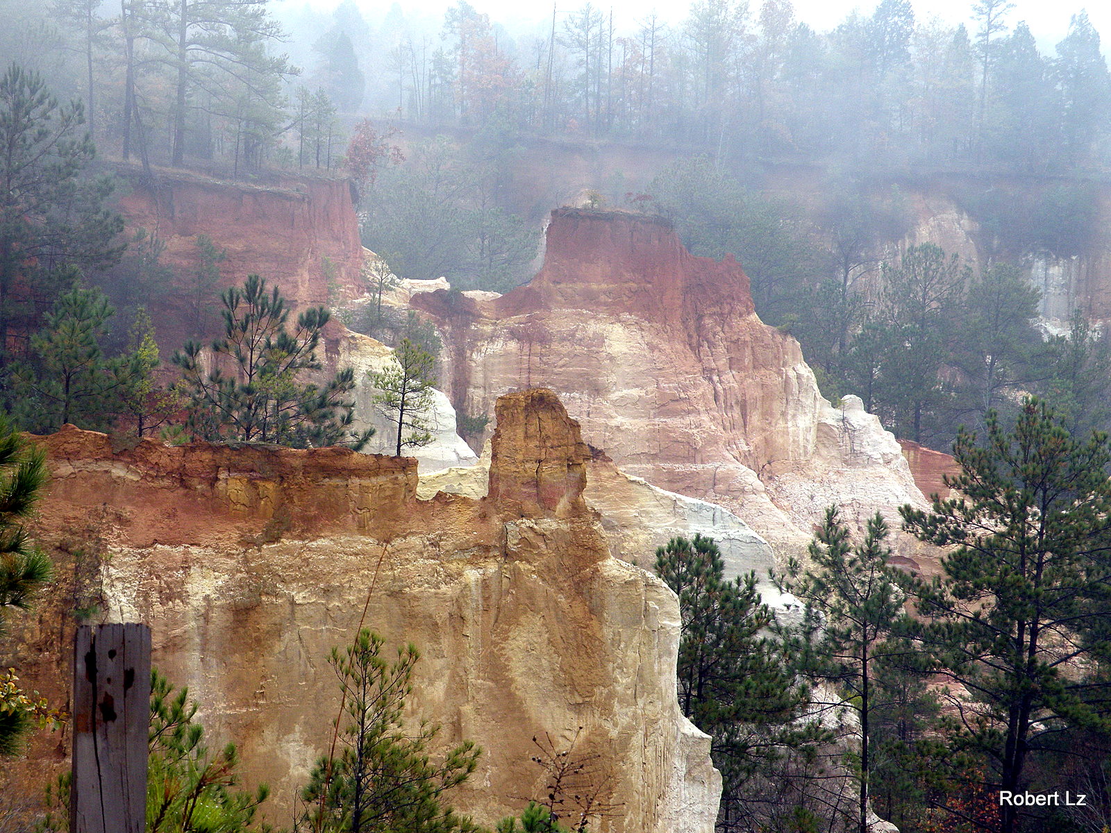
Providence Canyon State Park~ Lumpkin , Georgia
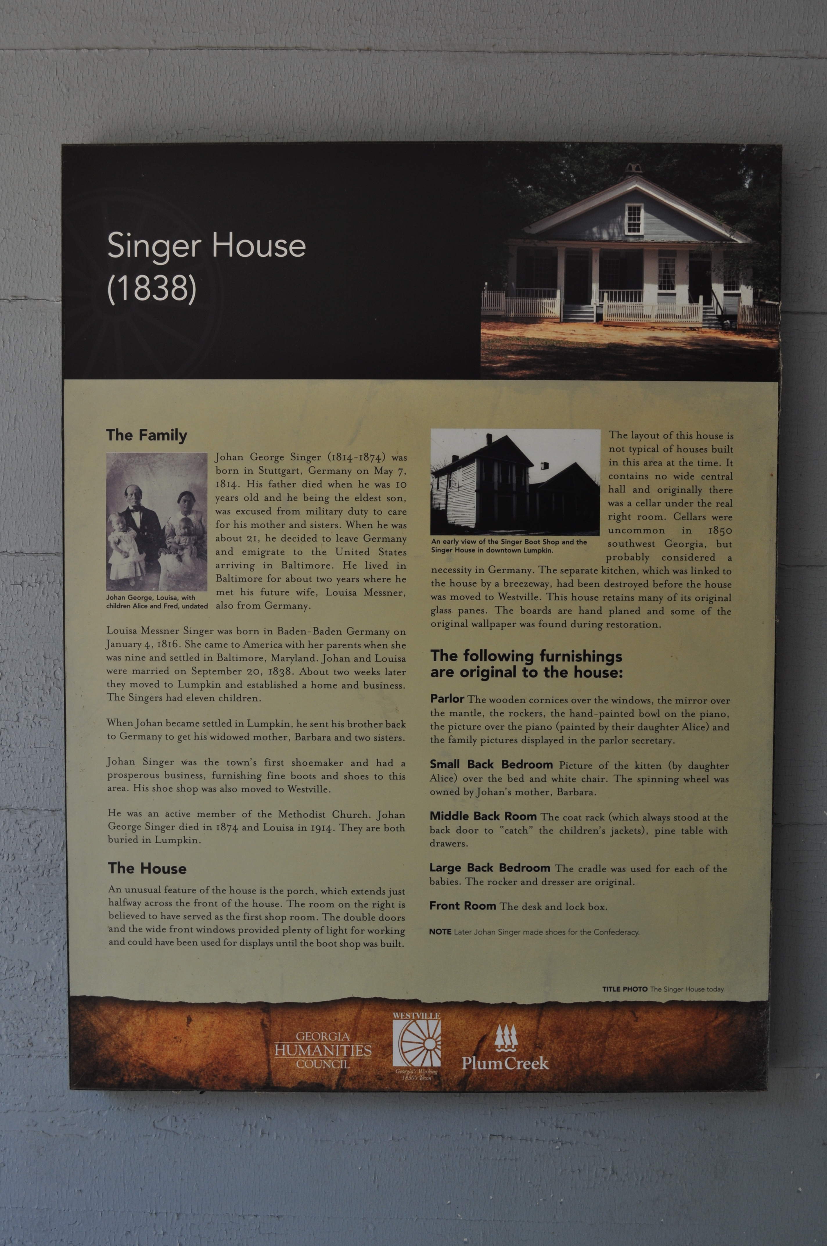
1978 Singer House Img_8733

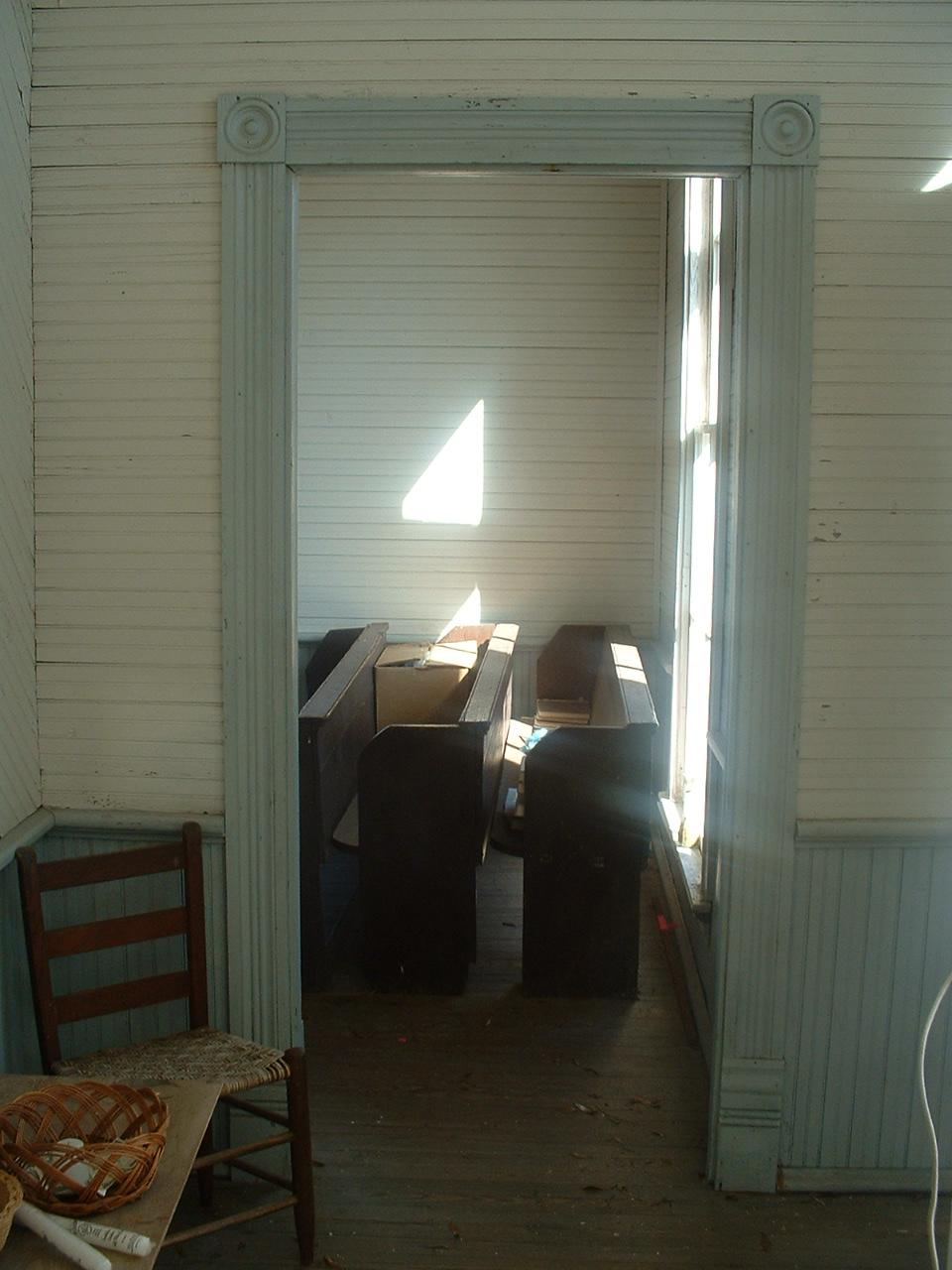
Louvale, Ga. -- Antioch Primitive Baptist Church, interior view

Louvale, Ga. -- Antioch Primitive Baptist Church, interior view with chairs
Louvale. Ga. -- Antioch Primitive Baptist Church, entrance, right view
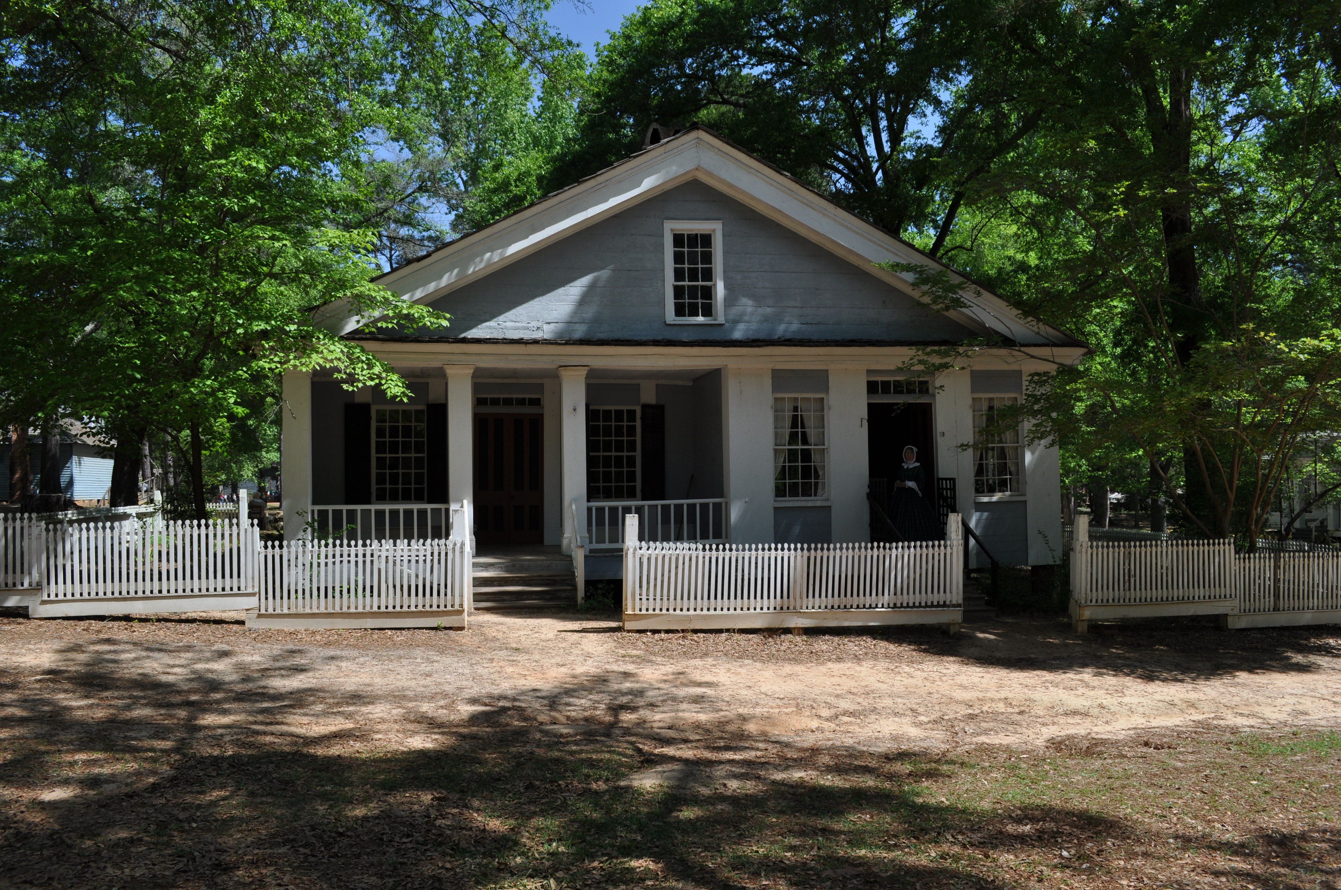
1969 Singer House Img_8724
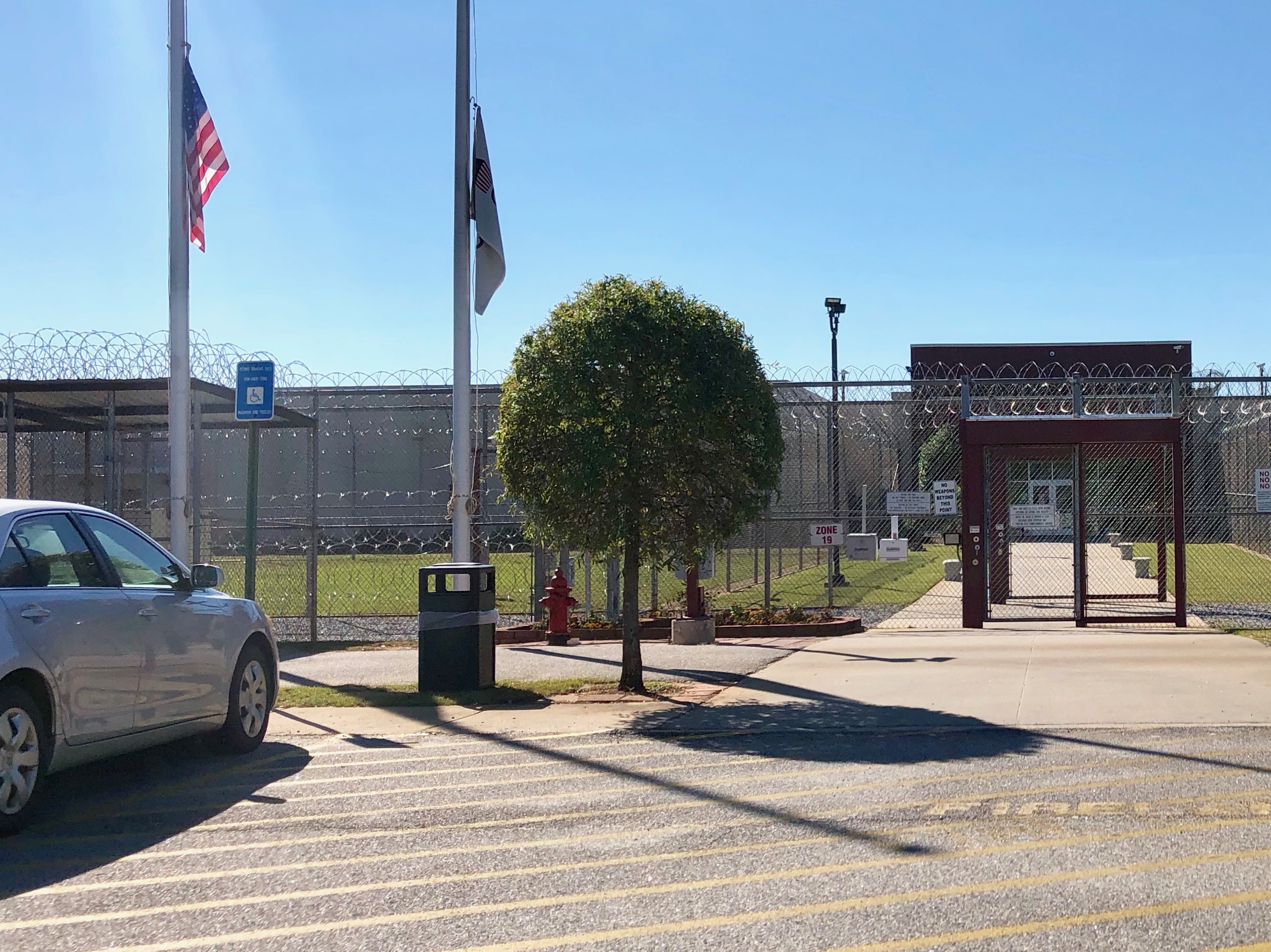
Stewart Detention Center landscape
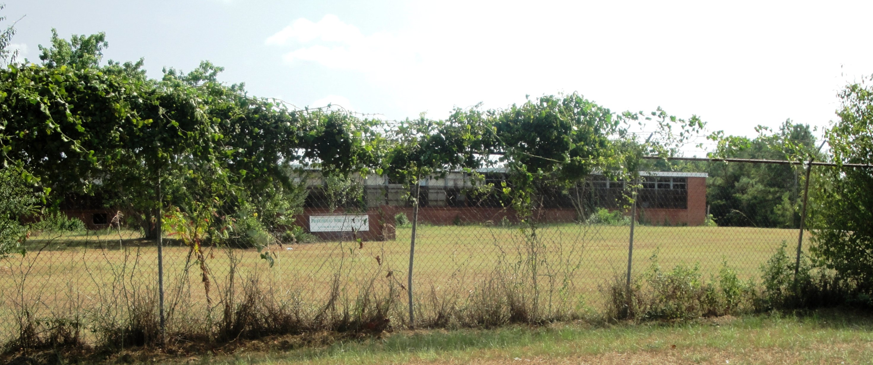
Lumpkin High & Industrial
Topographic Map of Red Hill Church Road, Red Hill Church Rd, Georgia, USA
Find elevation by address:

Places near Red Hill Church Road, Red Hill Church Rd, Georgia, USA:
565 Hamilton St
Wall St, Richland, GA, USA
272 Broad St
Richland
US-, Richland, GA, USA
4676 Wilson Pond Rd
Stewart County
Broad St, Lumpkin, GA, USA
Lumpkin
Louvale
Old Louvale Rd, Louvale, GA, USA
Co Rd 96, Buena Vista, GA, USA
Kimbrough Rd, Richland, GA, USA
Firetower Rd, Cusseta, GA, USA
Preston
GA-, Cusseta, GA, USA
McAllister Rd, Buena Vista, GA, USA
Webster County
GA-41, Weston, GA, USA
Weston
Recent Searches:
- Elevation of Unnamed Road, Respublika Severnaya Osetiya — Alaniya, Russia
- Elevation of Verkhny Fiagdon, North Ossetia–Alania Republic, Russia
- Elevation of F. Viola Hiway, San Rafael, Bulacan, Philippines
- Elevation of Herbage Dr, Gulfport, MS, USA
- Elevation of Lilac Cir, Haldimand, ON N3W 2G9, Canada
- Elevation of Harrod Branch Road, Harrod Branch Rd, Kentucky, USA
- Elevation of Wyndham Grand Barbados Sam Lords Castle All Inclusive Resort, End of Belair Road, Long Bay, Bridgetown Barbados
- Elevation of Iga Trl, Maggie Valley, NC, USA
- Elevation of N Co Rd 31D, Loveland, CO, USA
- Elevation of Lindever Ln, Palmetto, FL, USA