Elevation of Richland, GA, USA
Location: United States > Georgia > Stewart County >
Longitude: -84.667420
Latitude: 32.0879342
Elevation: 178m / 584feet
Barometric Pressure: 99KPa
Elevation Map:
Satellite Map:
Related Photos:

Like a rock
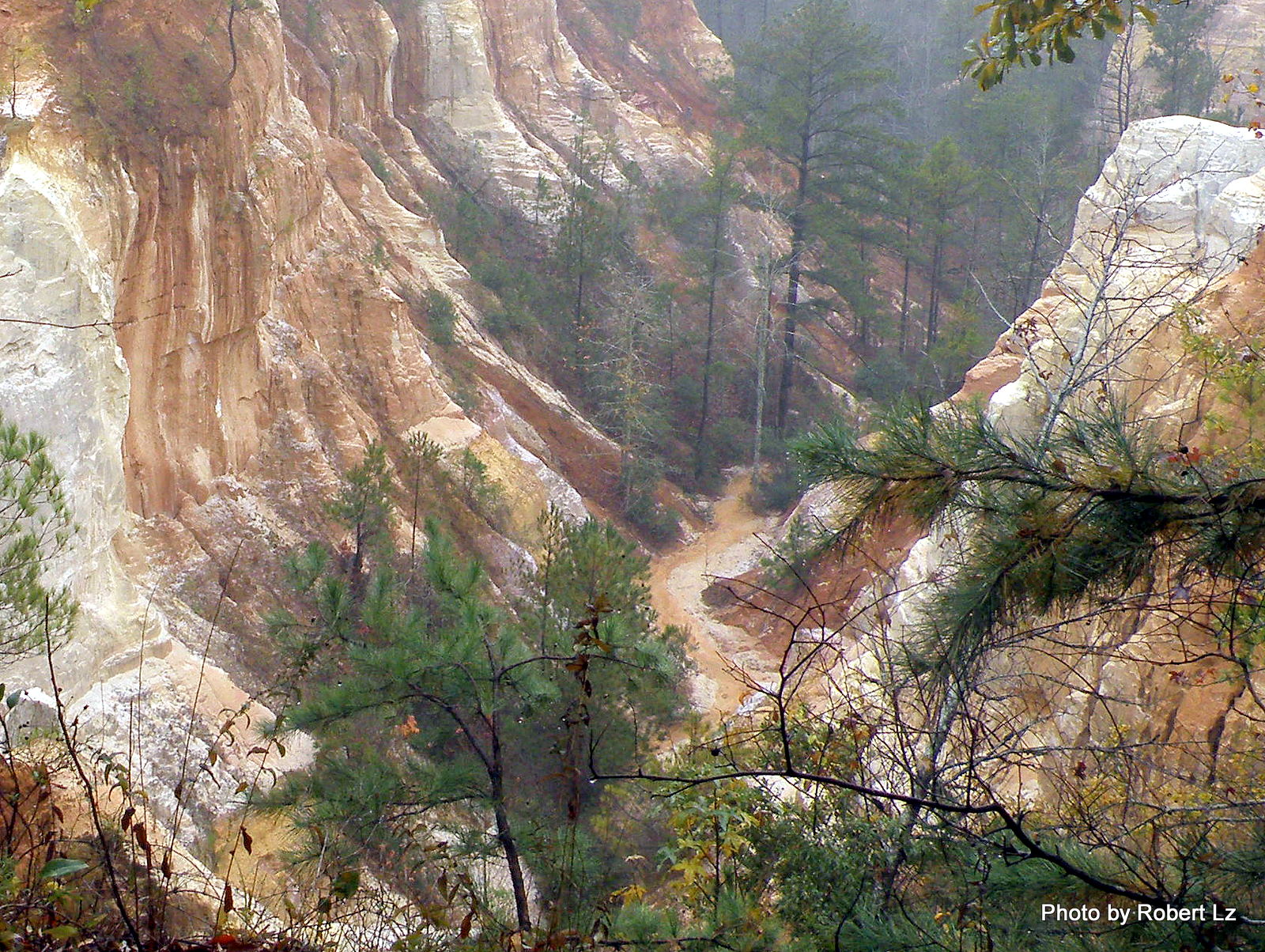
The Creek in the Canyon is the Trail-You Will Get Wet
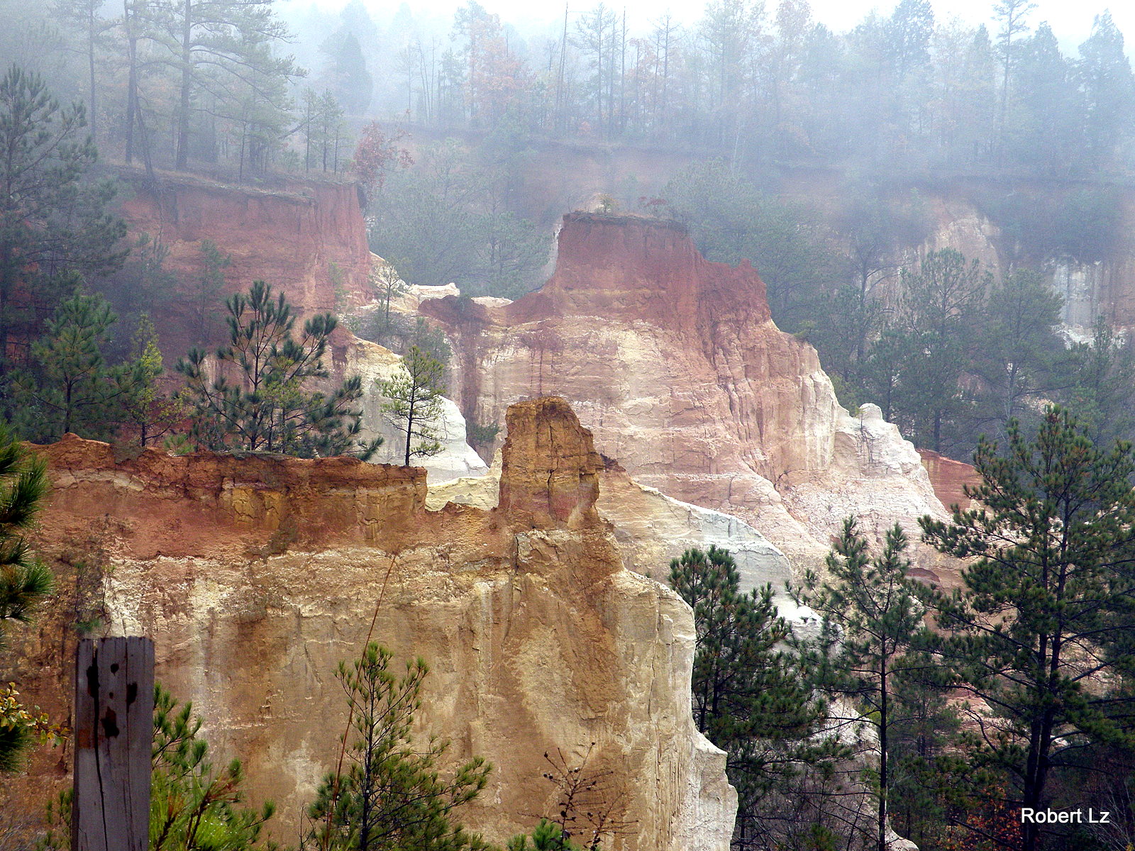
Providence Canyon State Park~ Lumpkin , Georgia
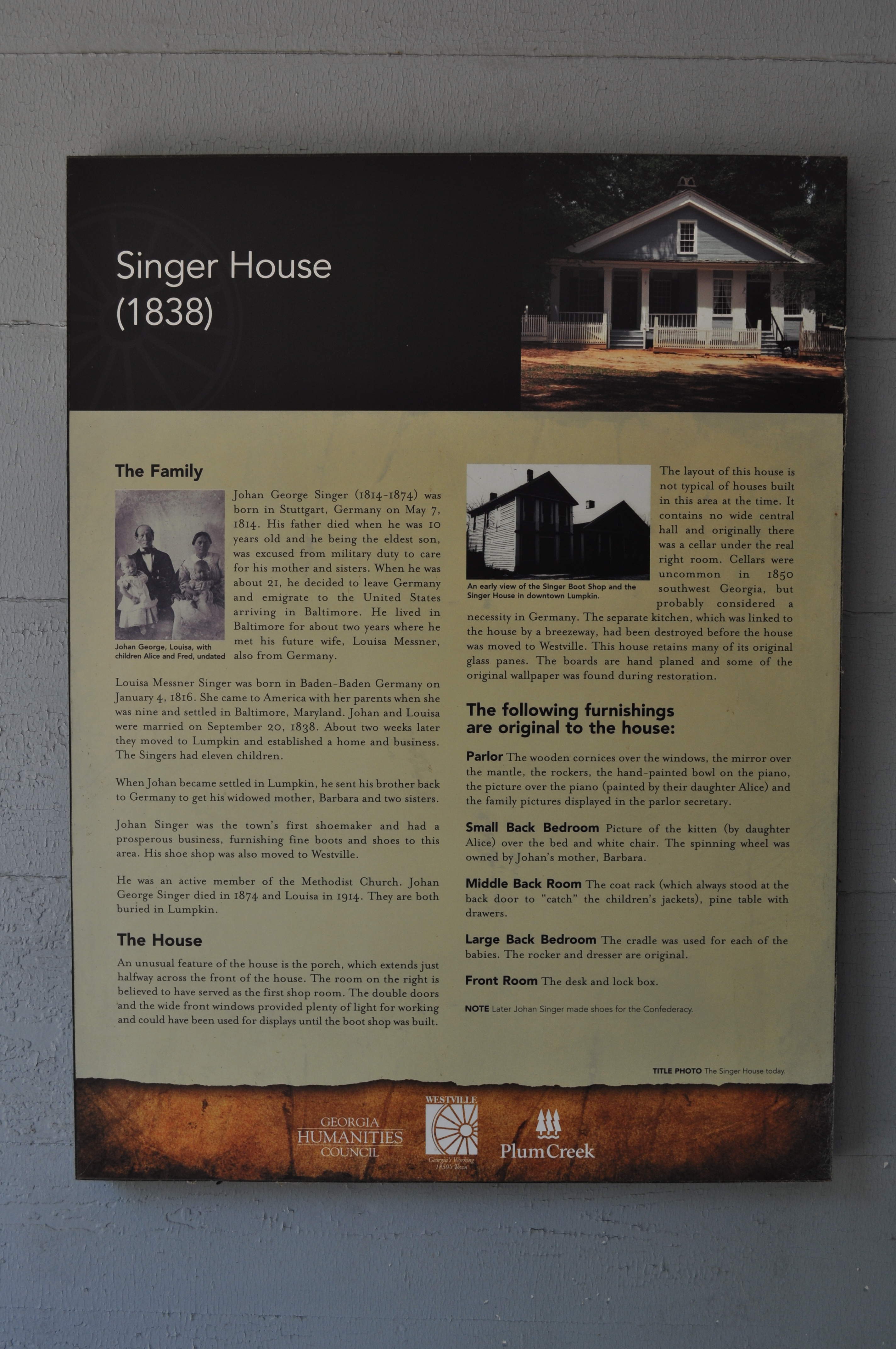
1978 Singer House Img_8733

Becoming one with the earth
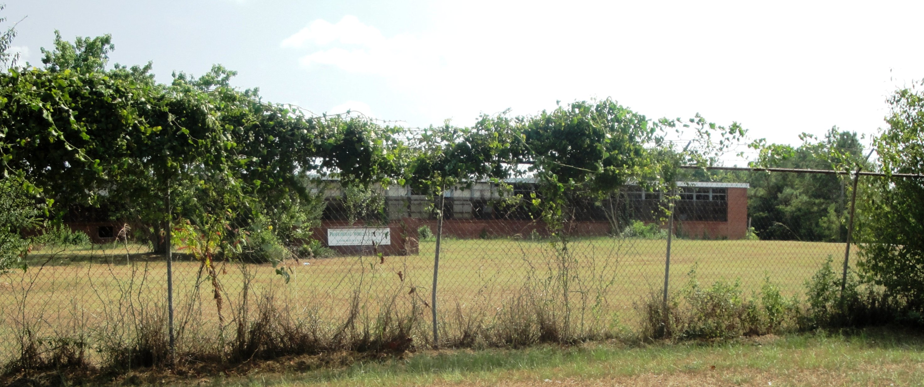
Lumpkin High & Industrial
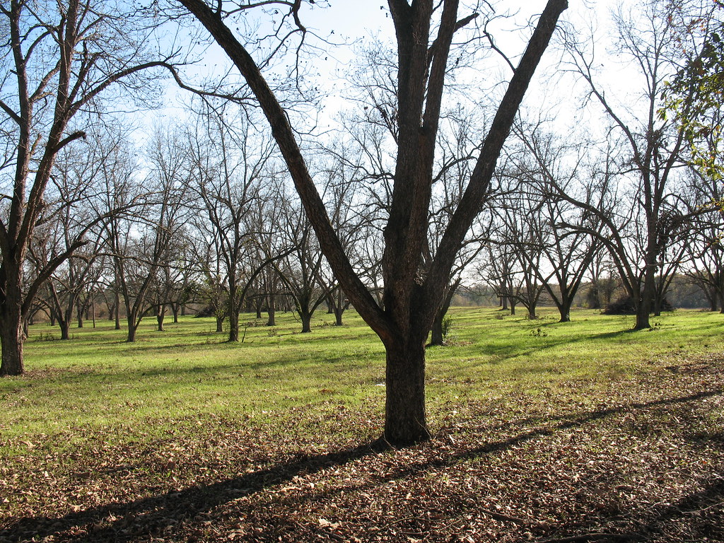
Pecan Grove Richland GA
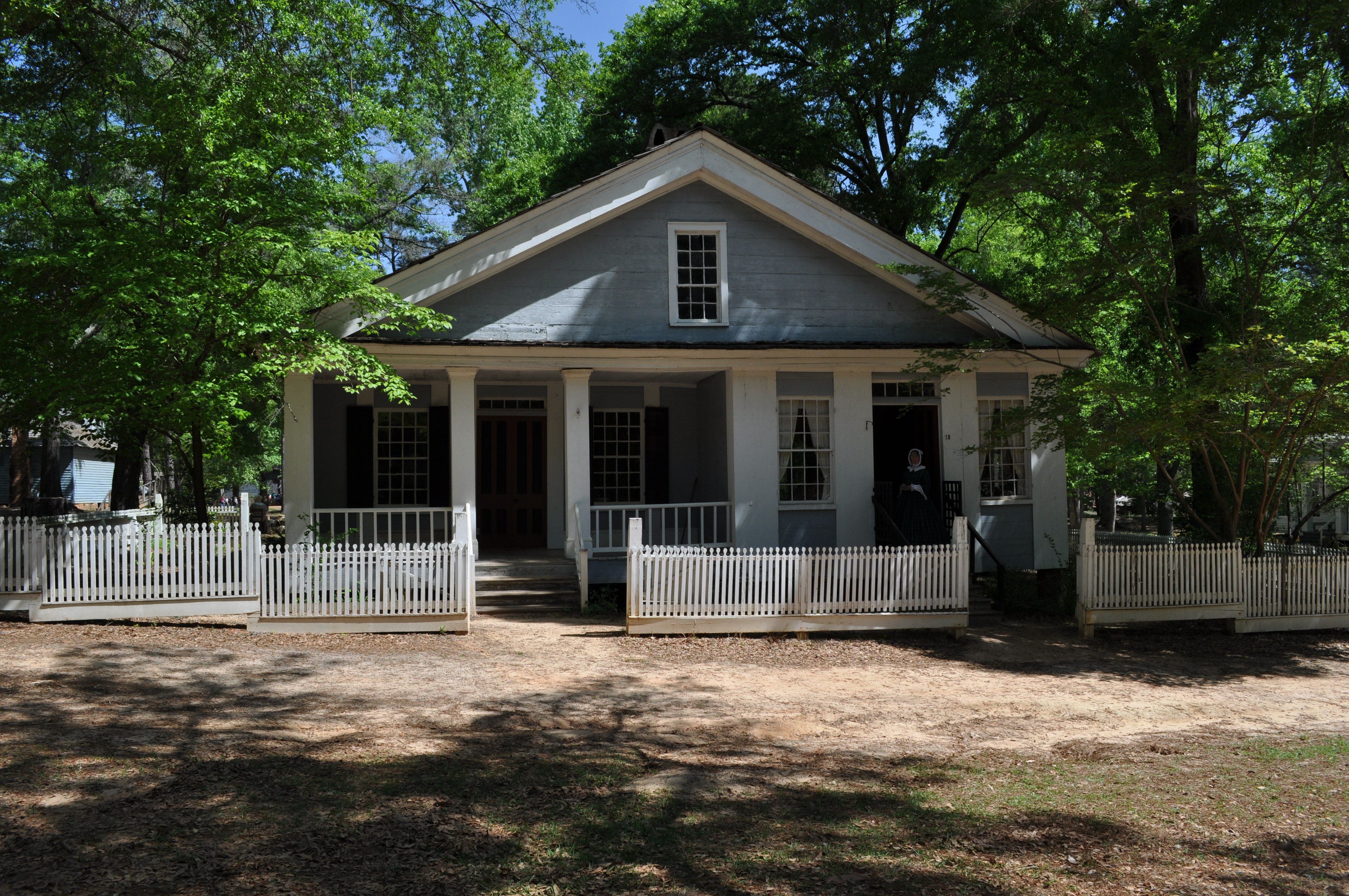
1969 Singer House Img_8724
Topographic Map of Richland, GA, USA
Find elevation by address:

Places in Richland, GA, USA:
Places near Richland, GA, USA:
272 Broad St
Wall St, Richland, GA, USA
565 Hamilton St
Red Hill Church Road
Kimbrough Rd, Richland, GA, USA
4676 Wilson Pond Rd
GA-41, Weston, GA, USA
Weston
Webster County
Preston
Broad St, Lumpkin, GA, USA
Lumpkin
Stewart County
US-, Richland, GA, USA
Co Rd 96, Buena Vista, GA, USA
Louvale
Old Louvale Rd, Louvale, GA, USA
Tolleson Rd, Preston, GA, USA
Firetower Rd, Cusseta, GA, USA
GA-30, Buena Vista, GA, USA
Recent Searches:
- Elevation of 30 Oak Lawn Dr, Barkhamsted, CT, USA
- Elevation of Luther Road, Luther Rd, Auburn, CA, USA
- Elevation of Unnamed Road, Respublika Severnaya Osetiya — Alaniya, Russia
- Elevation of Verkhny Fiagdon, North Ossetia–Alania Republic, Russia
- Elevation of F. Viola Hiway, San Rafael, Bulacan, Philippines
- Elevation of Herbage Dr, Gulfport, MS, USA
- Elevation of Lilac Cir, Haldimand, ON N3W 2G9, Canada
- Elevation of Harrod Branch Road, Harrod Branch Rd, Kentucky, USA
- Elevation of Wyndham Grand Barbados Sam Lords Castle All Inclusive Resort, End of Belair Road, Long Bay, Bridgetown Barbados
- Elevation of Iga Trl, Maggie Valley, NC, USA