Elevation of Wall St, Richland, GA, USA
Location: United States > Georgia > Stewart County > Richland >
Longitude: -84.667206
Latitude: 32.089468
Elevation: 180m / 591feet
Barometric Pressure: 99KPa
Elevation Map:
Satellite Map:
Related Photos:

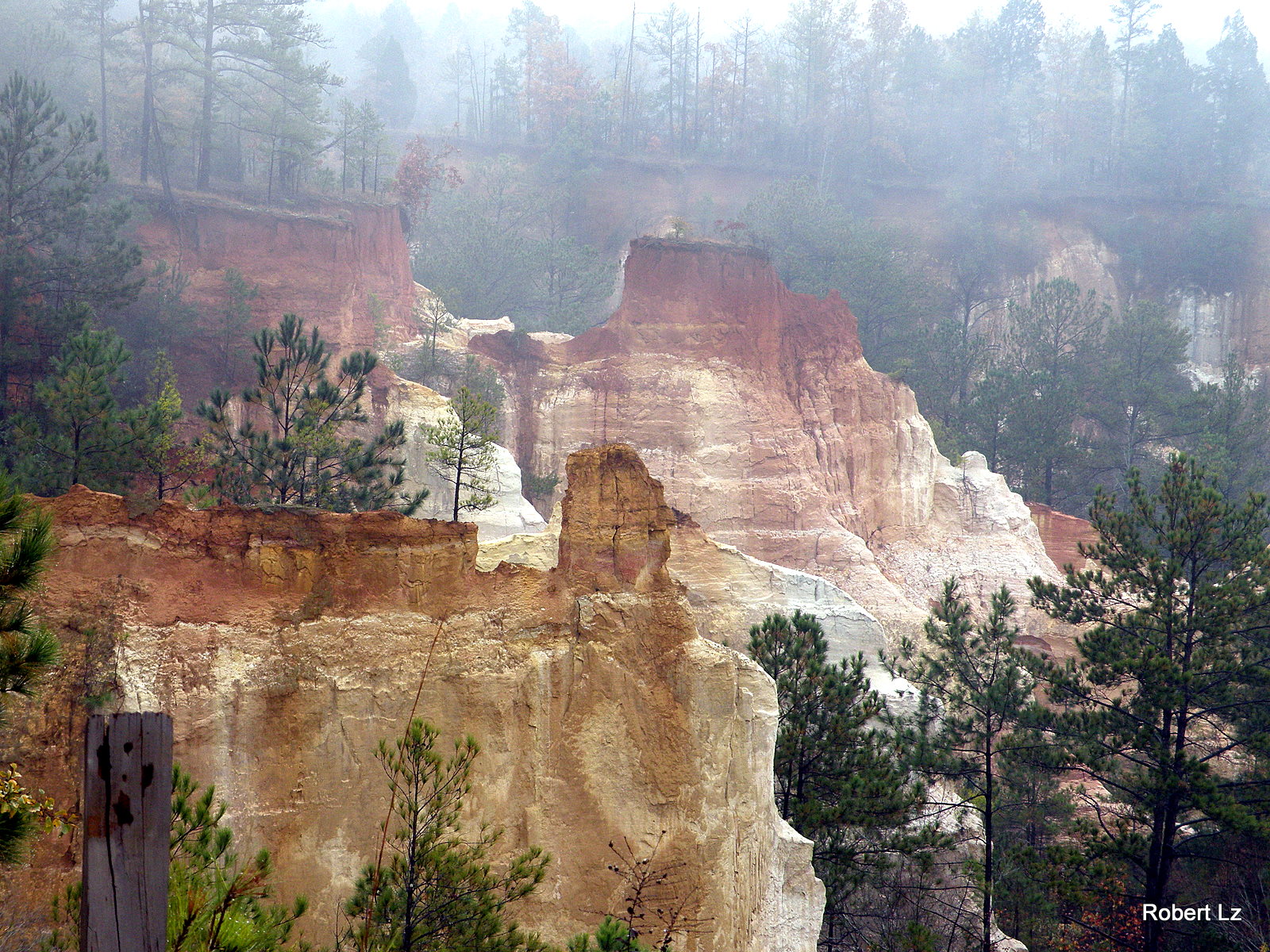
Like a rock
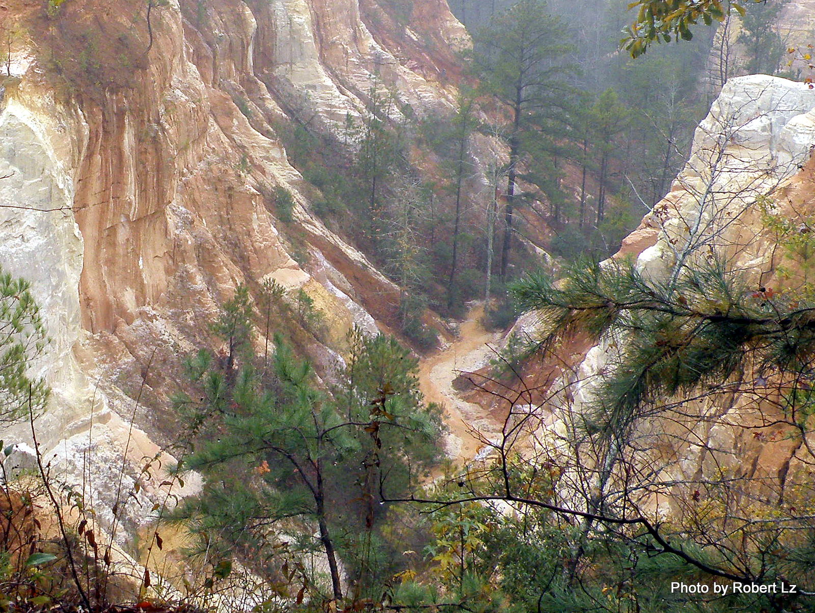
The Creek in the Canyon is the Trail-You Will Get Wet
Providence Canyon State Park~ Lumpkin , Georgia
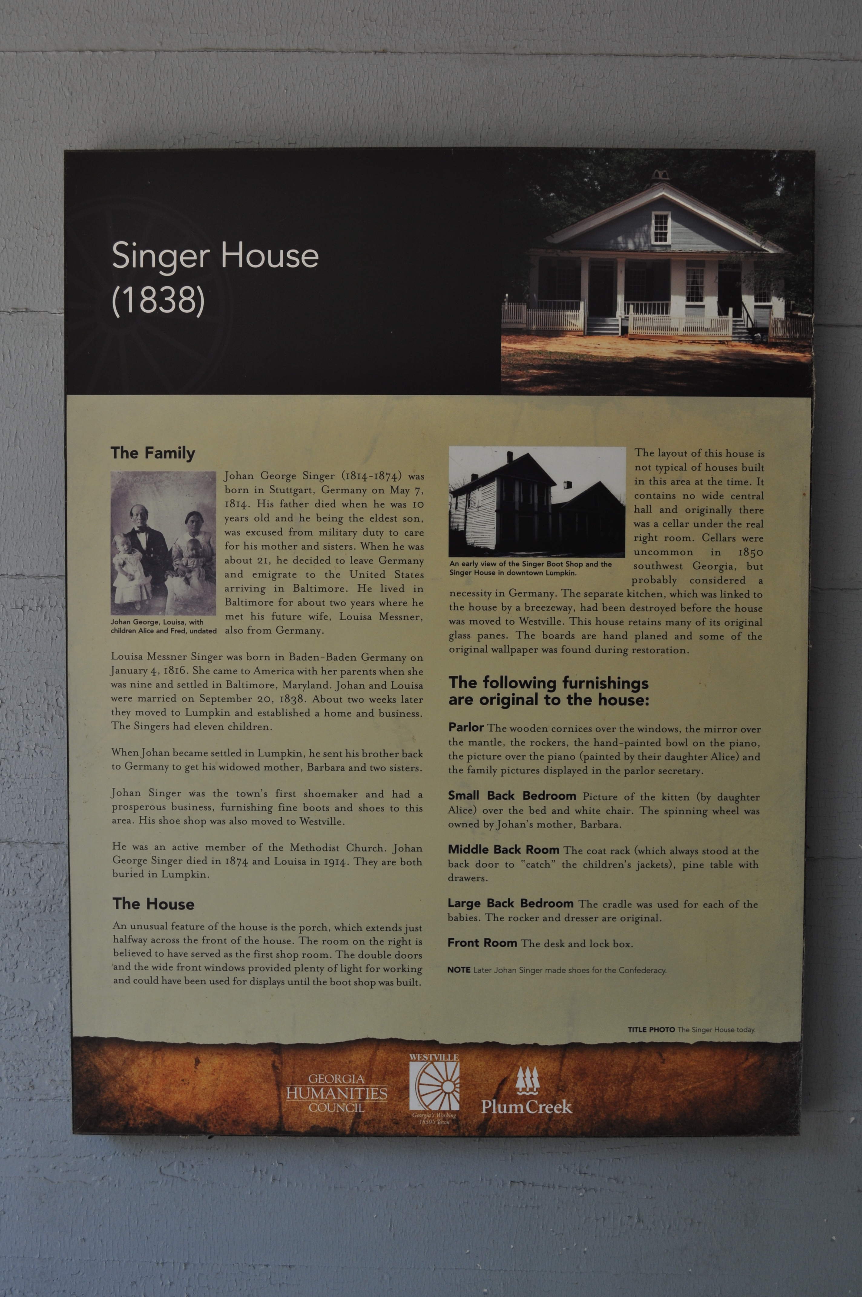
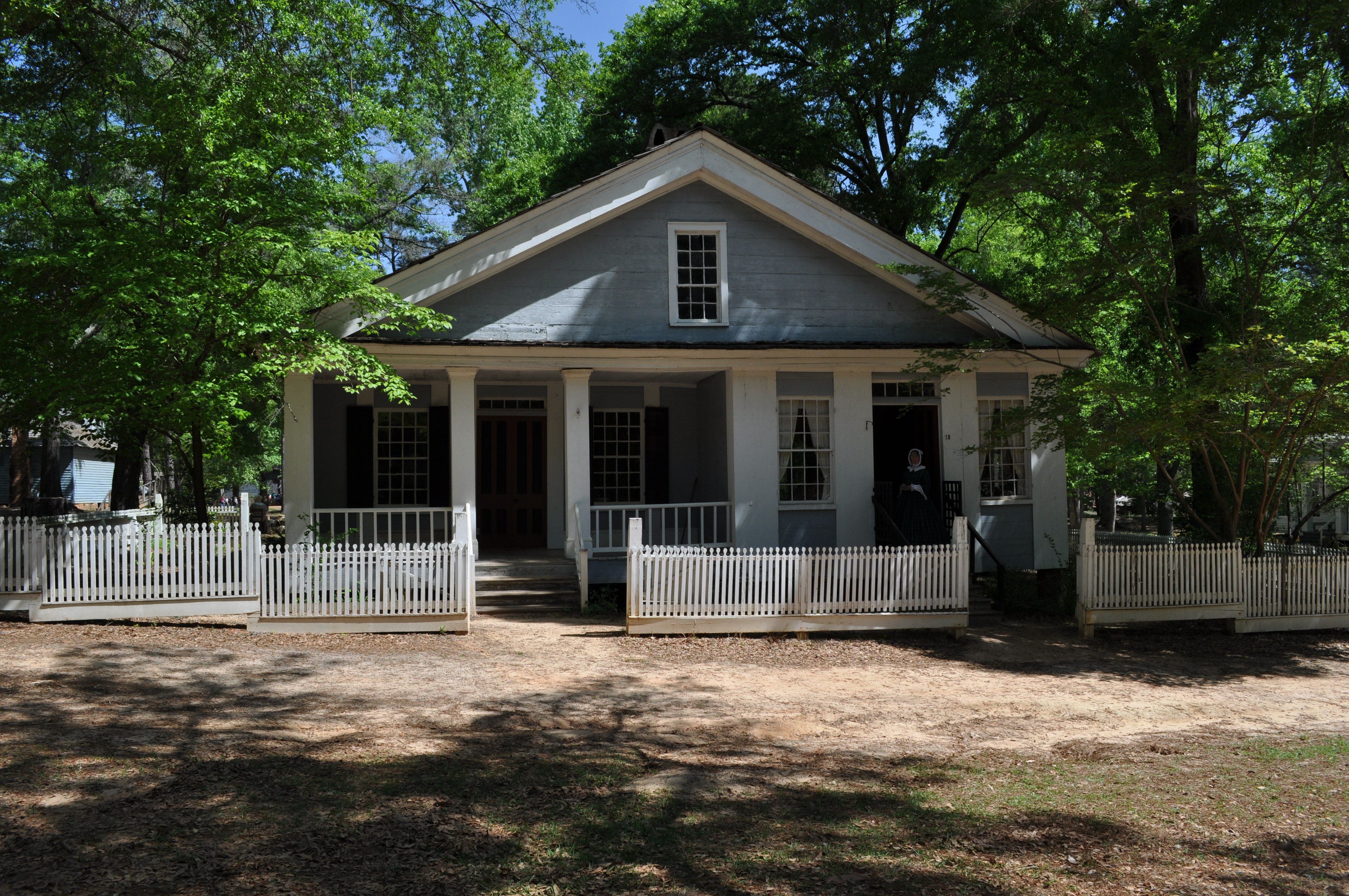
1978 Singer House Img_8733

Becoming one with the earth
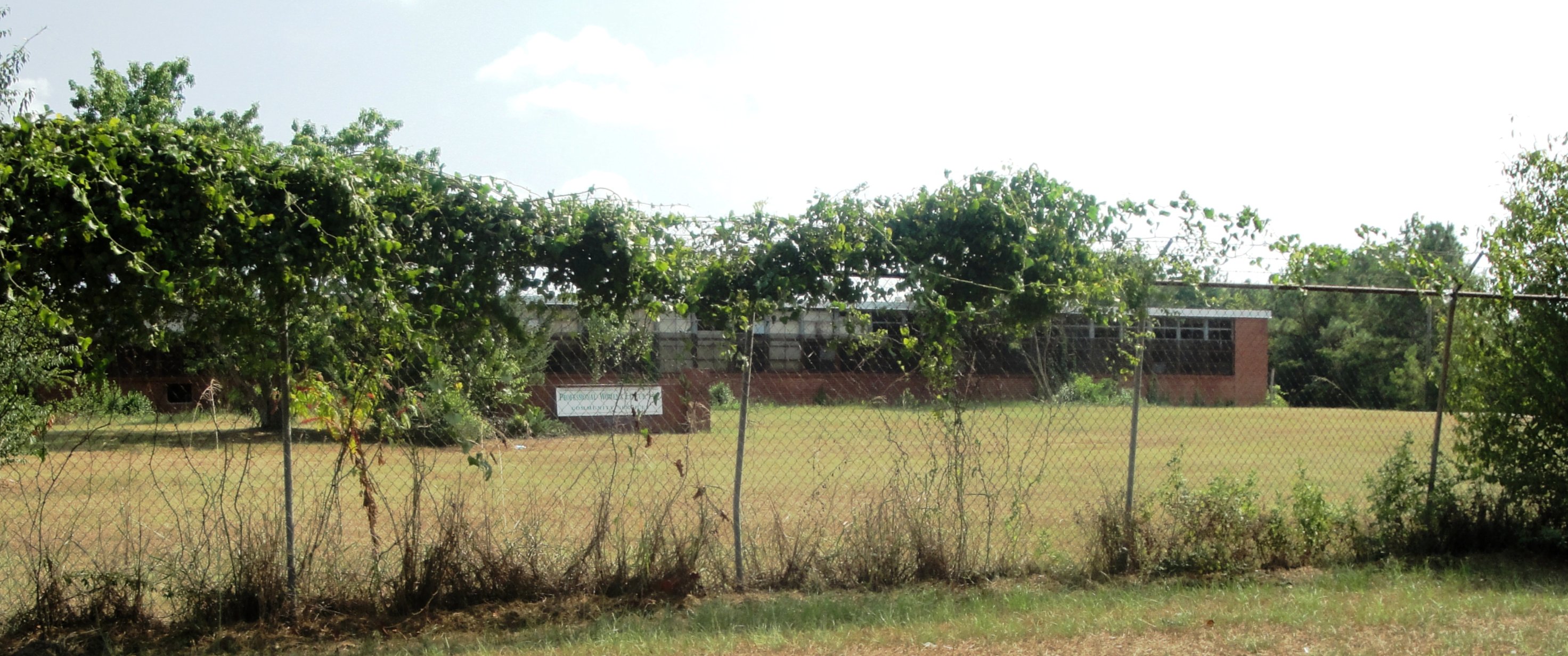
Lumpkin High & Industrial
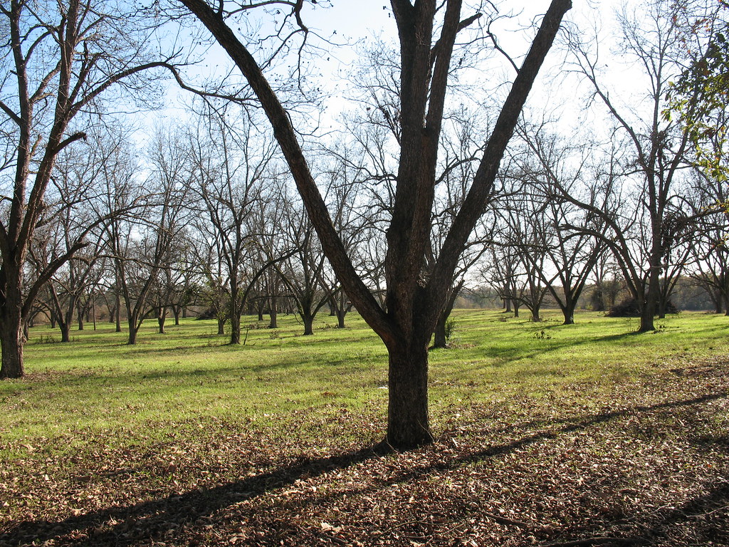
Pecan Grove Richland GA
1969 Singer House Img_8724
Topographic Map of Wall St, Richland, GA, USA
Find elevation by address:

Places near Wall St, Richland, GA, USA:
272 Broad St
Richland
565 Hamilton St
Red Hill Church Road
Kimbrough Rd, Richland, GA, USA
4676 Wilson Pond Rd
GA-41, Weston, GA, USA
Weston
Webster County
Preston
Broad St, Lumpkin, GA, USA
Lumpkin
Stewart County
US-, Richland, GA, USA
Co Rd 96, Buena Vista, GA, USA
Louvale
Old Louvale Rd, Louvale, GA, USA
Tolleson Rd, Preston, GA, USA
Firetower Rd, Cusseta, GA, USA
GA-30, Buena Vista, GA, USA
Recent Searches:
- Elevation of Tenjo, Cundinamarca, Colombia
- Elevation of Côte-des-Neiges, Montreal, QC H4A 3J6, Canada
- Elevation of Bobcat Dr, Helena, MT, USA
- Elevation of Zu den Ihlowbergen, Althüttendorf, Germany
- Elevation of Badaber, Peshawar, Khyber Pakhtunkhwa, Pakistan
- Elevation of SE Heron Loop, Lincoln City, OR, USA
- Elevation of Slanický ostrov, 01 Námestovo, Slovakia
- Elevation of Spaceport America, Co Rd A, Truth or Consequences, NM, USA
- Elevation of Warwick, RI, USA
- Elevation of Fern Rd, Whitmore, CA, USA