Elevation of Wilmot, SD, USA
Location: United States > South Dakota > Roberts County >
Longitude: -96.857849
Latitude: 45.4085732
Elevation: 365m / 1198feet
Barometric Pressure: 97KPa
Elevation Map:
Satellite Map:
Related Photos:

morning view
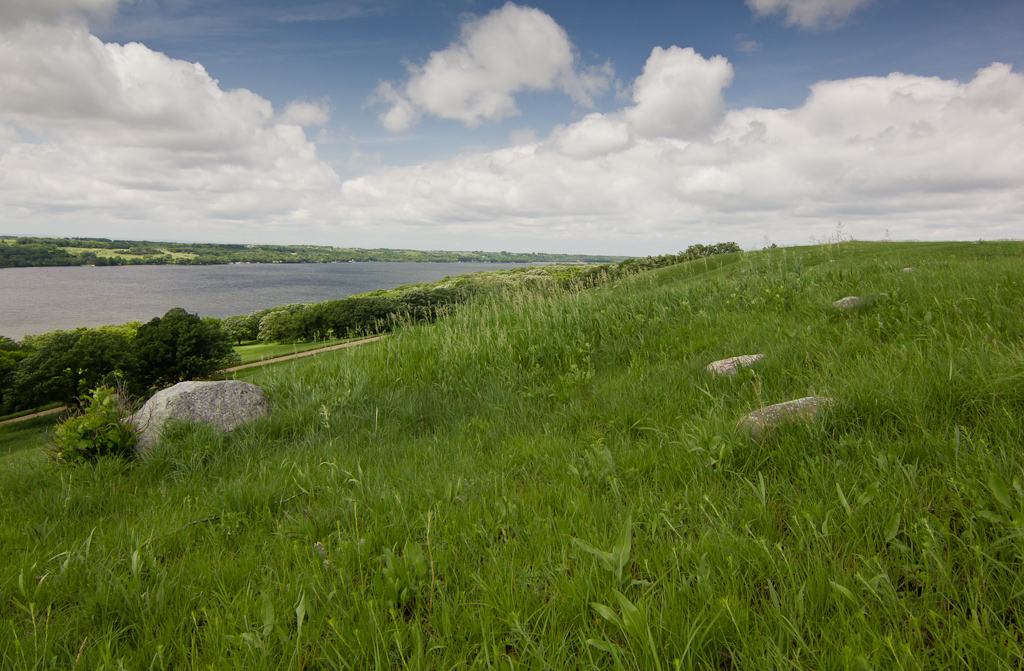
Big Stone Lake
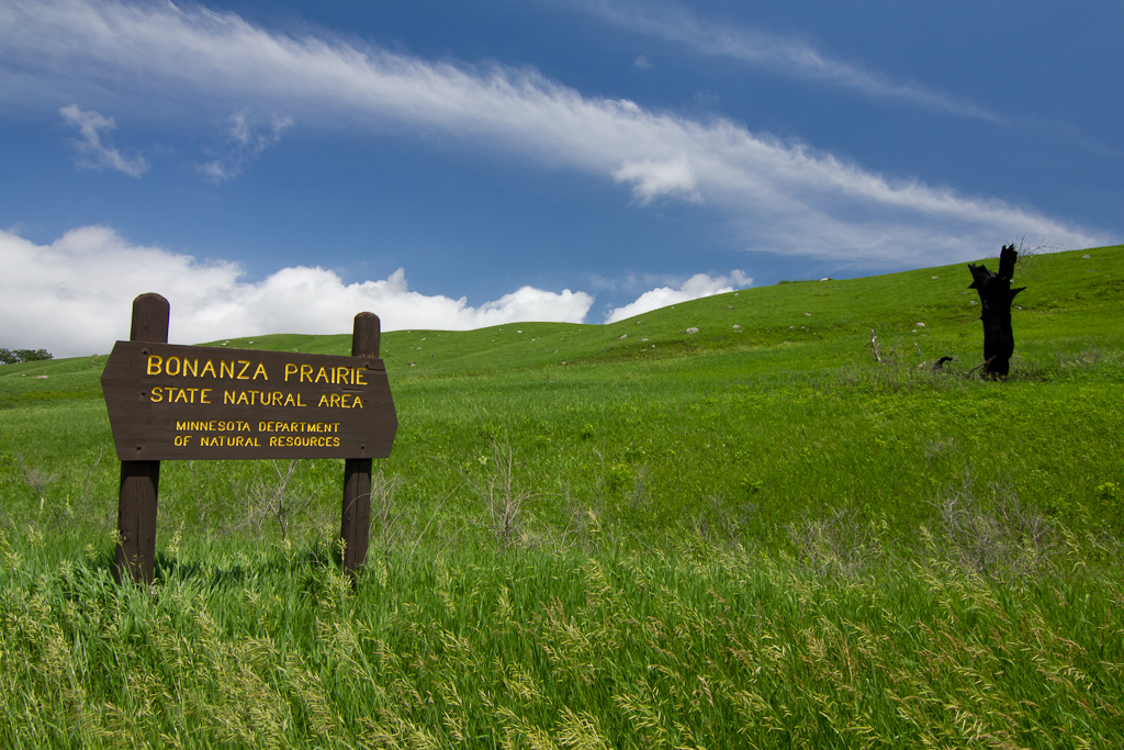
Bonanza Prairie SNA
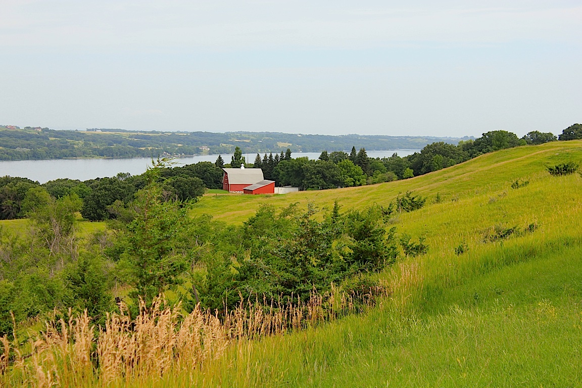
Barn on Big Stone Lake

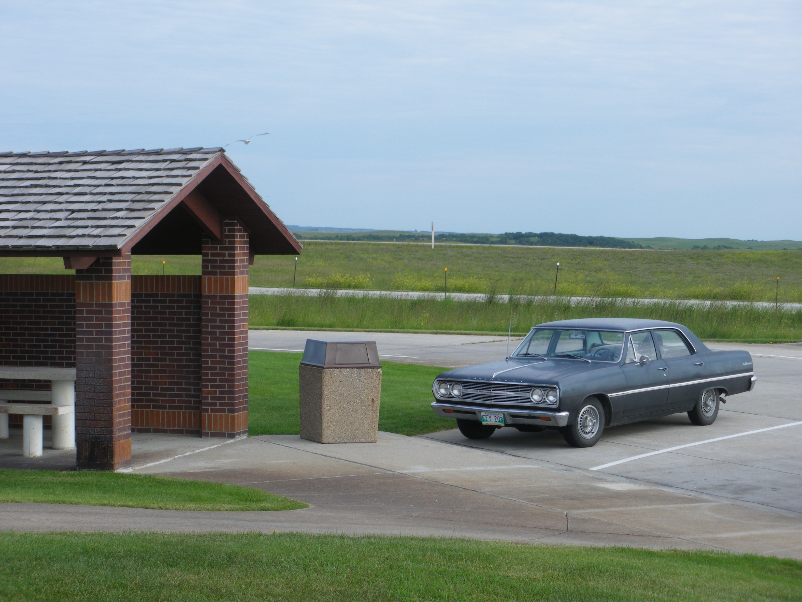
Flagpoles in wind, Whetstone Valley Rest Area
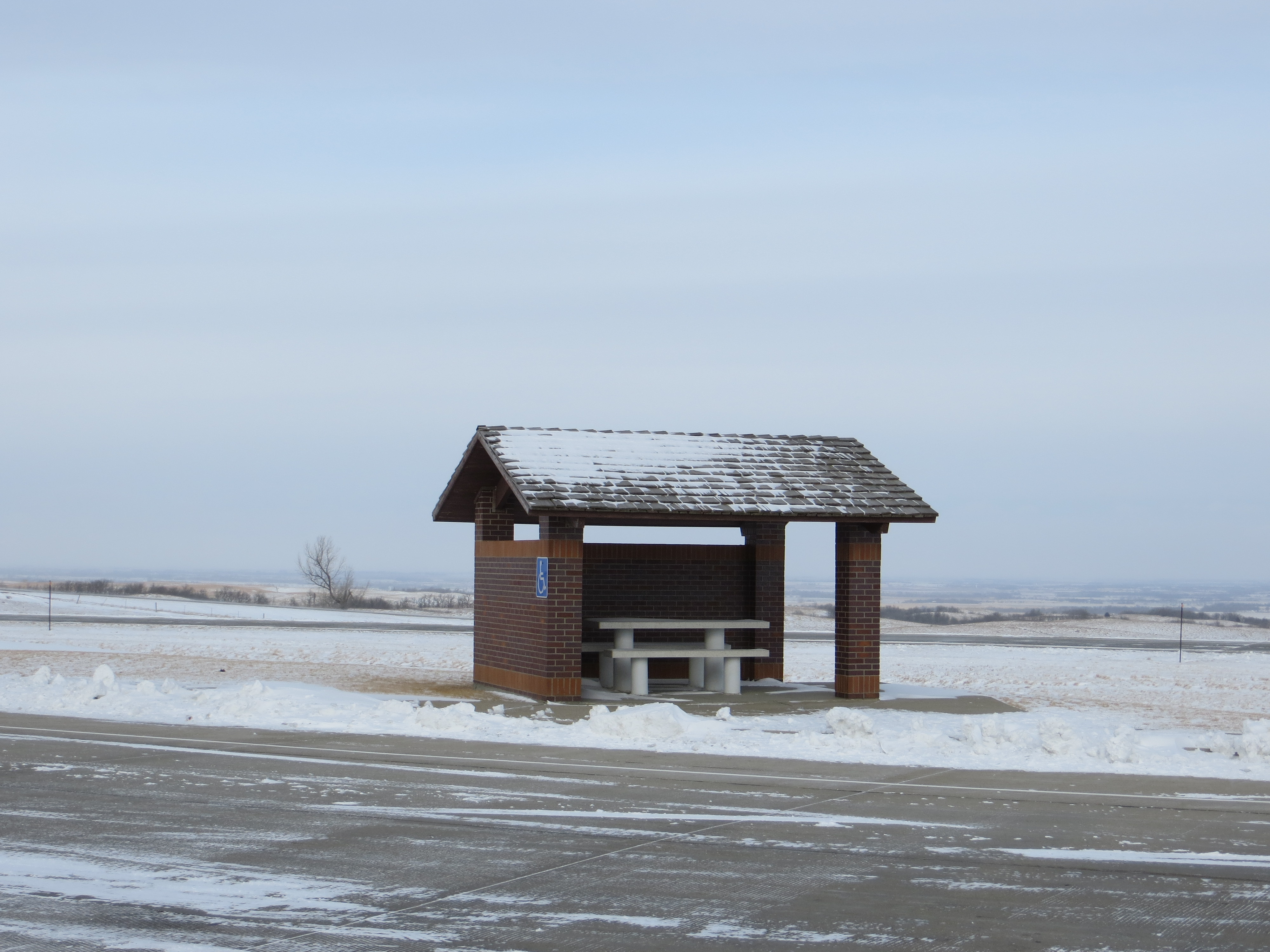
Pavilion, Whetstone Valley Rest Area

History plaque, Whetstone Valley Rest Area

14 Volleyball D1 Wilmot vs GP 1091
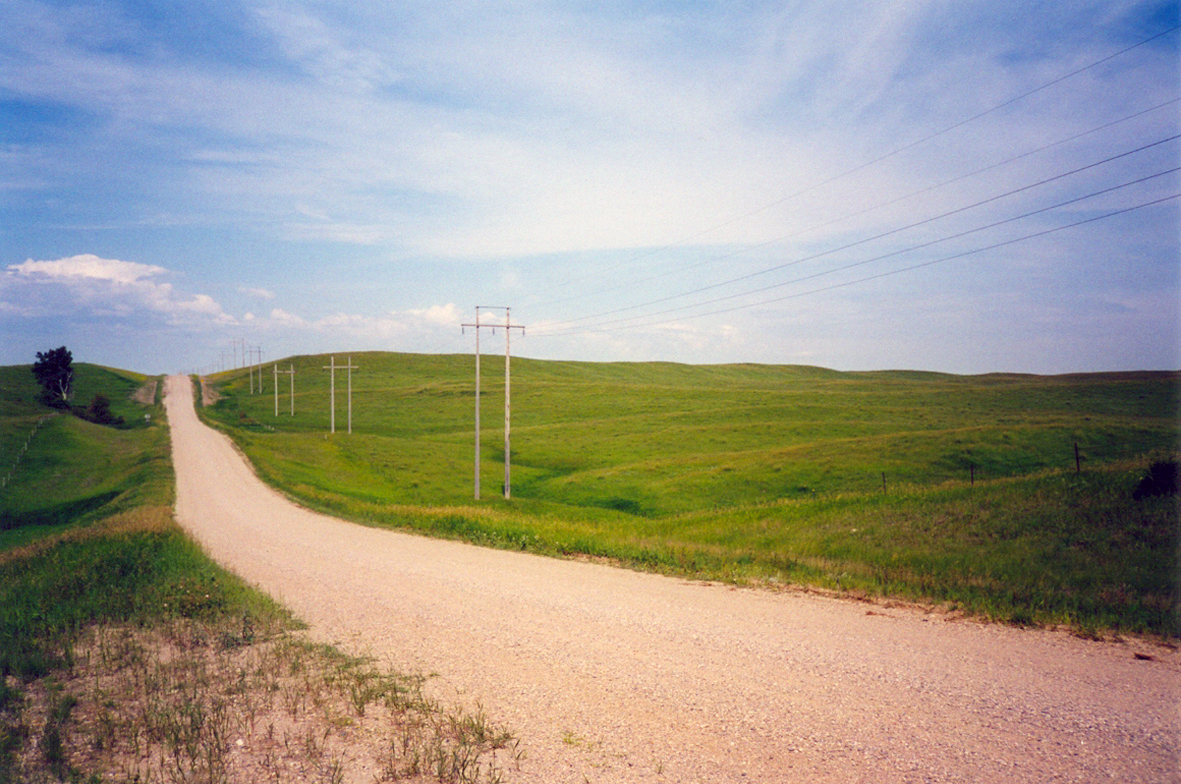
Grant County Road 2. South Dakota

big stone morning

South Dakota sapling

Pink...is the love you discover
A Canadian in South Dakota

near Peever Flats, SD, United States

Big Stone Lake State Park

Big Stone Lake State Park
Topographic Map of Wilmot, SD, USA
Find elevation by address:

Places near Wilmot, SD, USA:
Wilmot, SD, USA
Lake Township
Lawrence Township
Peever
Broadway, Browns Valley, MN, USA
Browns Valley
Twin Brooks
Grant County
Stockholm Township
Milbank
South Shore
Lake Traverse
Stockholm
Leola Township
Windsor Township
Strandburg
Big Stone County
Labolt
Big Stone City
2nd Street Southeast
Recent Searches:
- Elevation of Lampiasi St, Sarasota, FL, USA
- Elevation of Elwyn Dr, Roanoke Rapids, NC, USA
- Elevation of Congressional Dr, Stevensville, MD, USA
- Elevation of Bellview Rd, McLean, VA, USA
- Elevation of Stage Island Rd, Chatham, MA, USA
- Elevation of Shibuya Scramble Crossing, 21 Udagawacho, Shibuya City, Tokyo -, Japan
- Elevation of Jadagoniai, Kaunas District Municipality, Lithuania
- Elevation of Pagonija rock, Kranto 7-oji g. 8"N, Kaunas, Lithuania
- Elevation of Co Rd 87, Jamestown, CO, USA
- Elevation of Tenjo, Cundinamarca, Colombia