Elevation of Strandburg, SD, USA
Location: United States > South Dakota > Grant County >
Longitude: -96.760619
Latitude: 45.0441317
Elevation: 511m / 1677feet
Barometric Pressure: 95KPa
Elevation Map:
Satellite Map:
Related Photos:
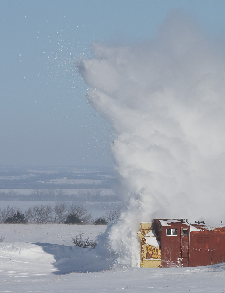
BNSF Rotary Snowplow; Strandburg, SD

South Dakota sunset
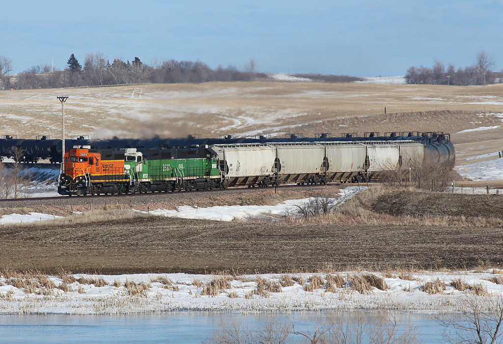
Watertown Local into Stockholm
Chilly April 1st in Stockholm
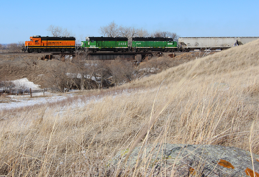
Sweeping out of Stockholm
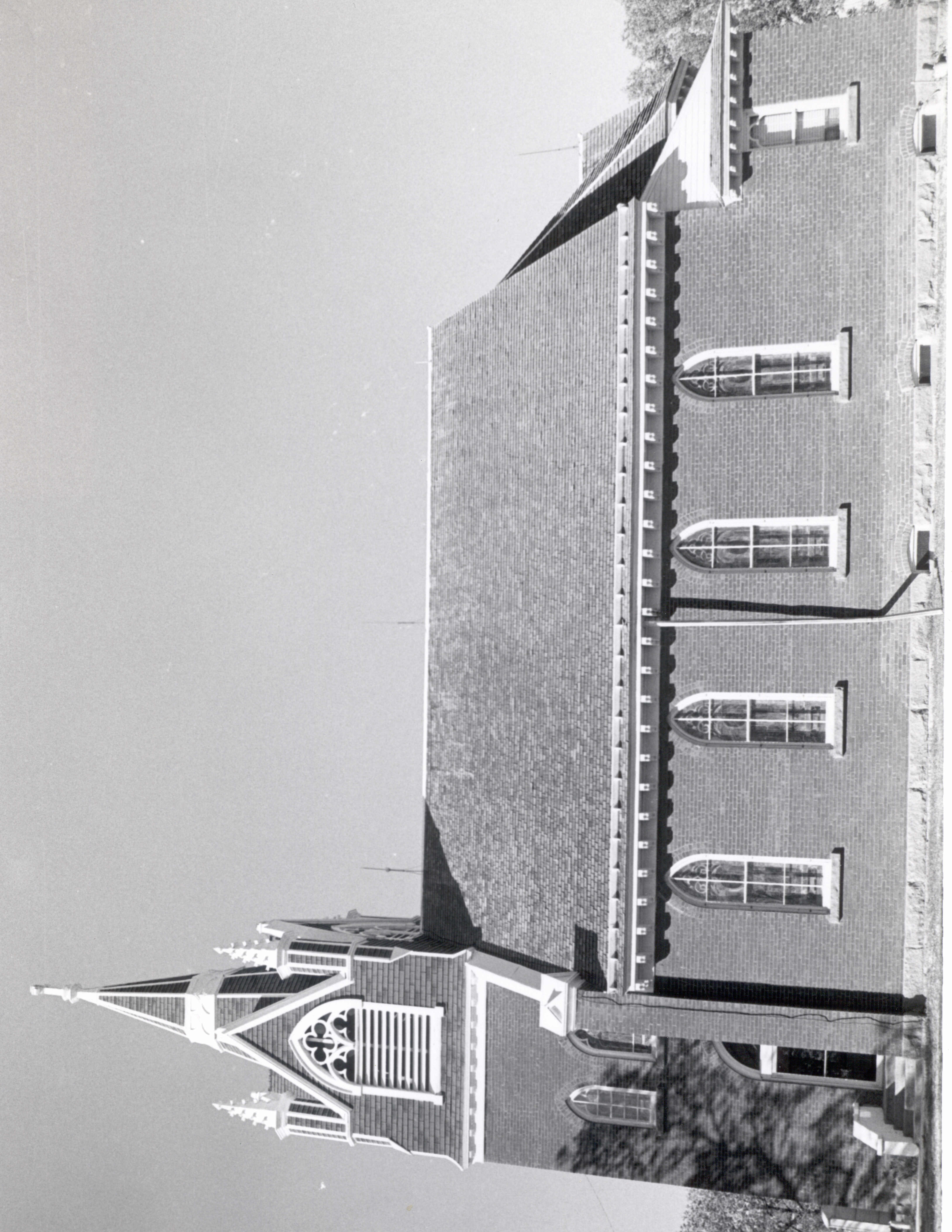
Brown Earth Presbyterian Church, Stockholm, South Dakota

241/365 South Dakota Road

Camera+ test
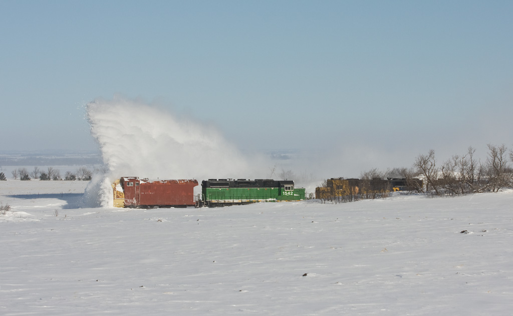
BNSF Rotary Snowplow; Strandburg, SD
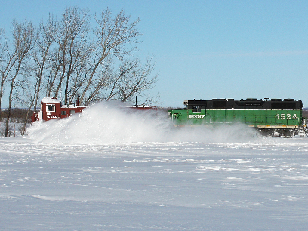
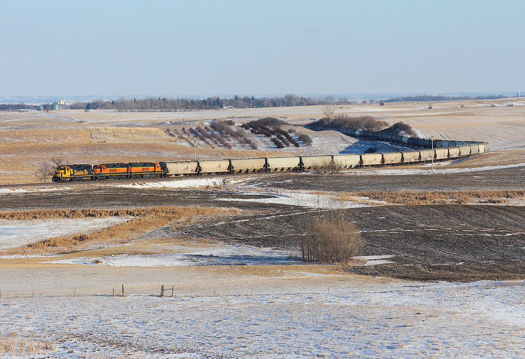
Plowing thru South Dakota
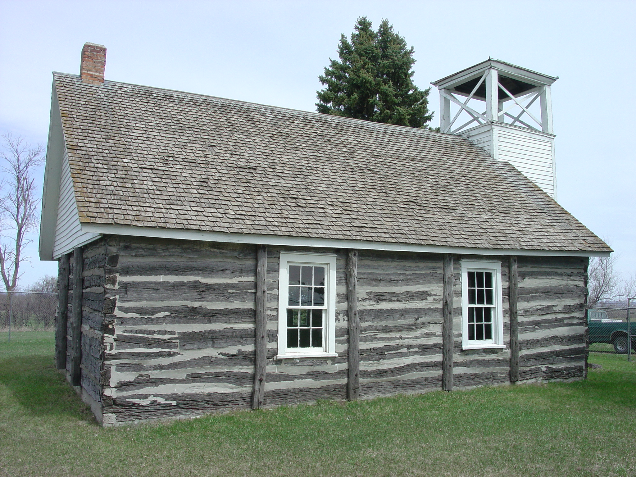
Swedish Lutheran Church, Grant County

Gorlic restaurant

Gamla Stan
Topographic Map of Strandburg, SD, USA
Find elevation by address:

Places near Strandburg, SD, USA:
Stockholm
Labolt
Stockholm Township
Grant County
Twin Brooks
South Shore
Milbank
Leola Township
Wilmot
Big Stone City
Wilmot, SD, USA
2nd Street Southeast
Lake Township
Lawrence Township
Big Stone County
Peever
Broadway, Browns Valley, MN, USA
Browns Valley
Lac Qui Parle County
Graceville Township
Recent Searches:
- Elevation of Lampiasi St, Sarasota, FL, USA
- Elevation of Elwyn Dr, Roanoke Rapids, NC, USA
- Elevation of Congressional Dr, Stevensville, MD, USA
- Elevation of Bellview Rd, McLean, VA, USA
- Elevation of Stage Island Rd, Chatham, MA, USA
- Elevation of Shibuya Scramble Crossing, 21 Udagawacho, Shibuya City, Tokyo -, Japan
- Elevation of Jadagoniai, Kaunas District Municipality, Lithuania
- Elevation of Pagonija rock, Kranto 7-oji g. 8"N, Kaunas, Lithuania
- Elevation of Co Rd 87, Jamestown, CO, USA
- Elevation of Tenjo, Cundinamarca, Colombia