Elevation of 2nd St SE, Ortonville, MN, USA
Location: United States > Minnesota > Big Stone County >
Longitude: -96.444463
Latitude: 45.3046324
Elevation: 312m / 1024feet
Barometric Pressure: 98KPa
Elevation Map:
Satellite Map:
Related Photos:

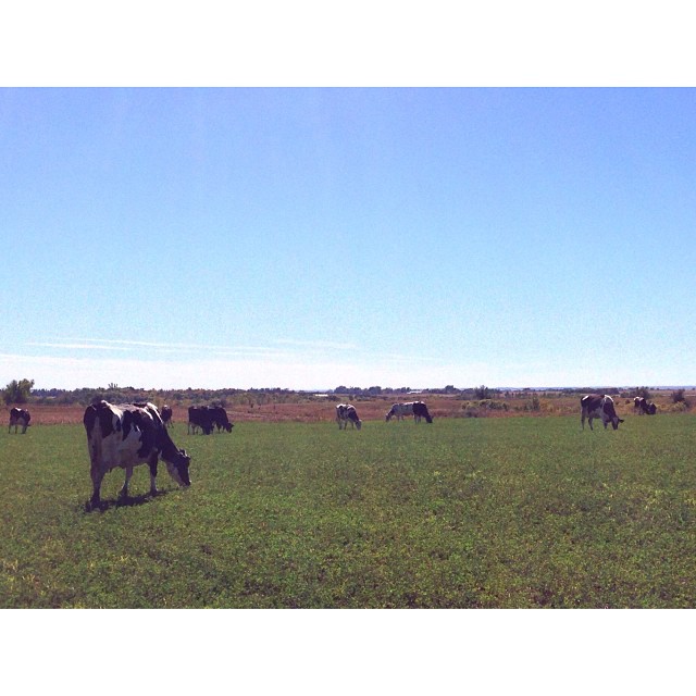
This is the best view of the day! #graze16 #farmscapes #dairy

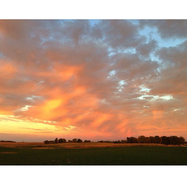
Home on the range~ a gorgeous Thursday evening view of the sky over the farm!
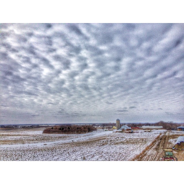
Here's a view over looking our farm on cold cloudy February day. #farm365
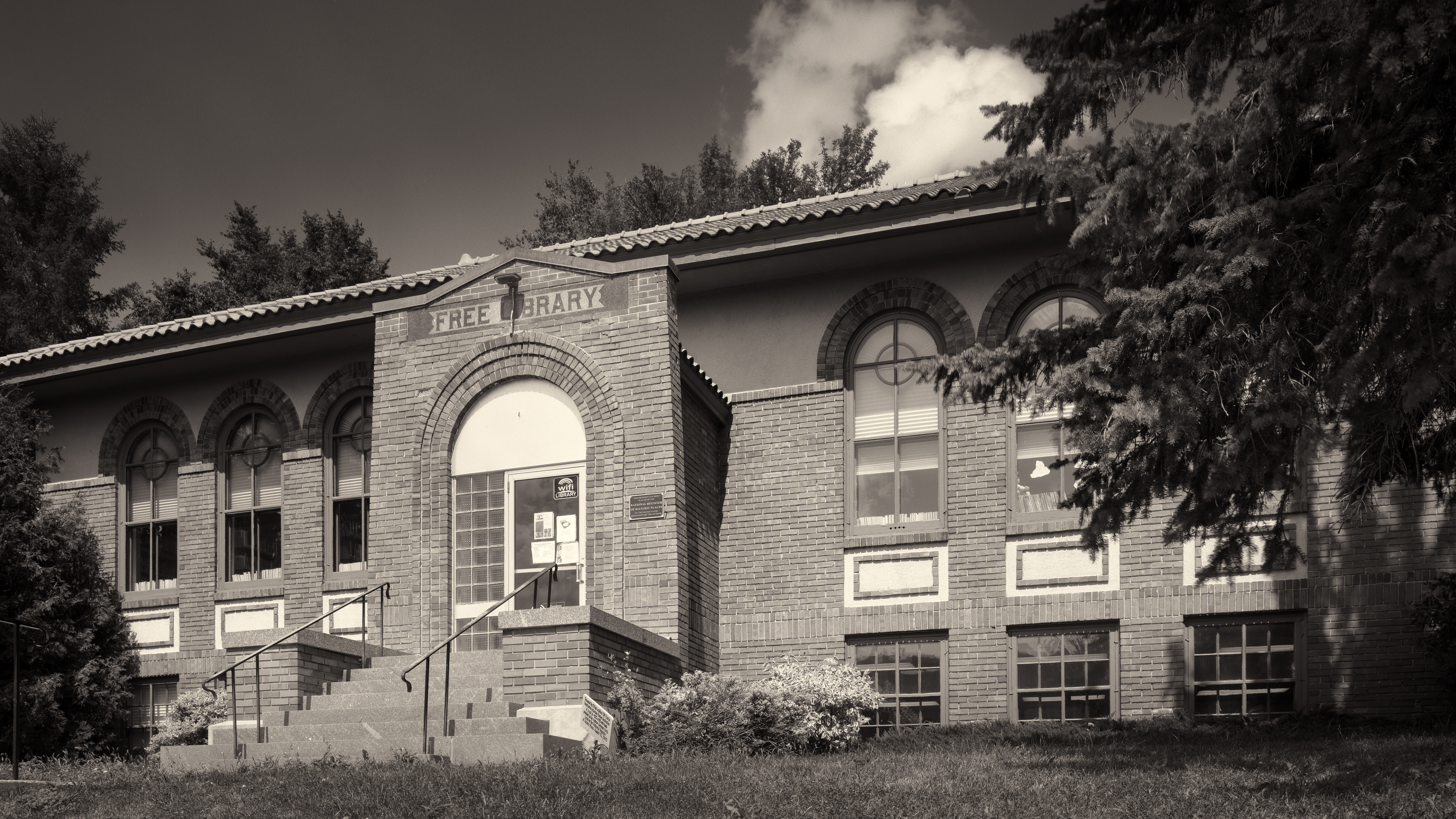
Carnegie Library in Ortonville, MN
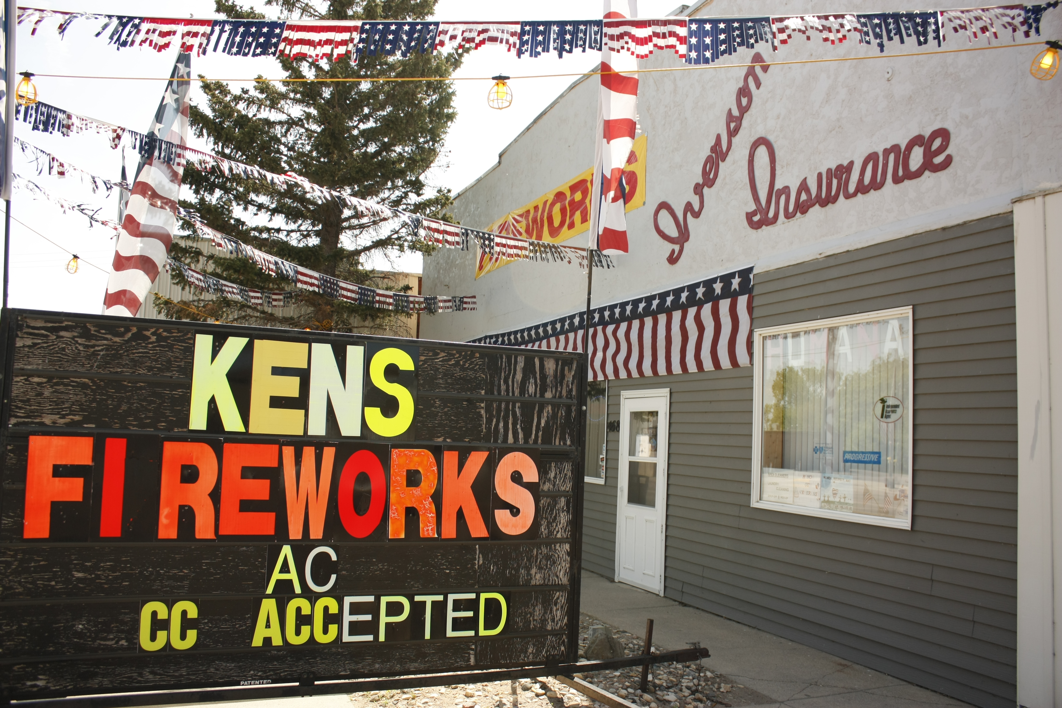
One-stop shopping
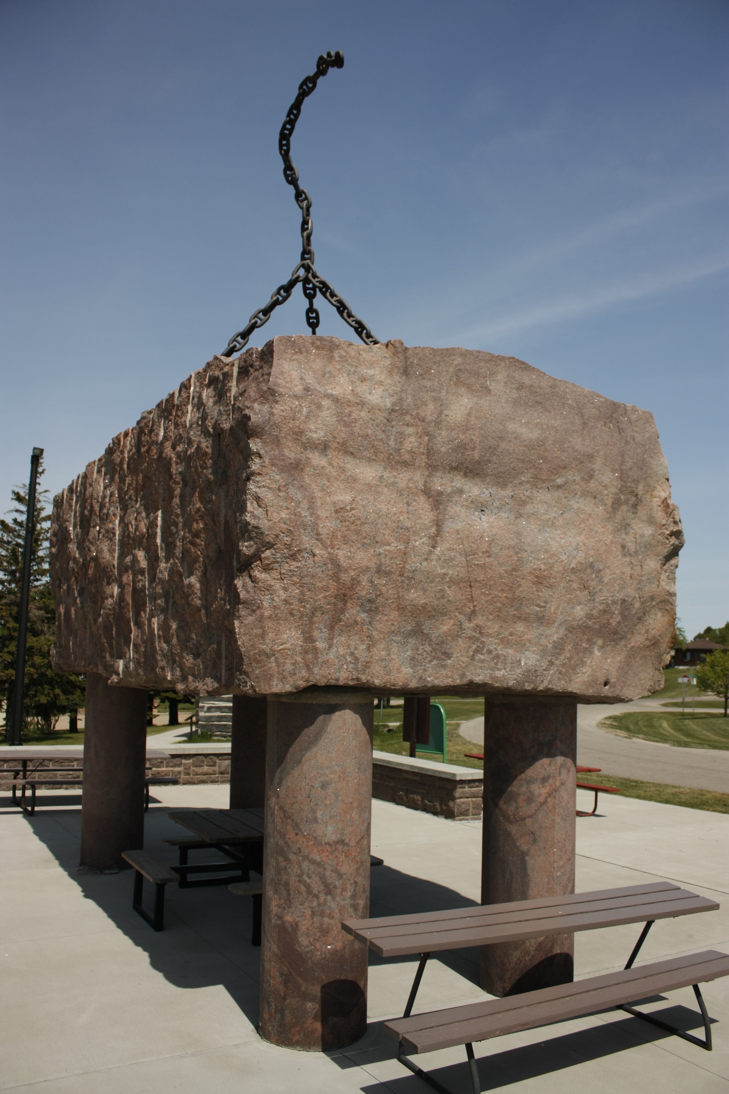
Paul Bunyan's Anchor

Geocaching in Ortonville

Geocaching in Ortonville

Rock Outcrops

This was the view from field this evening as I was hauling haylage wagons to the bagger machine! #farmlife #farm365

Rock Outcrops
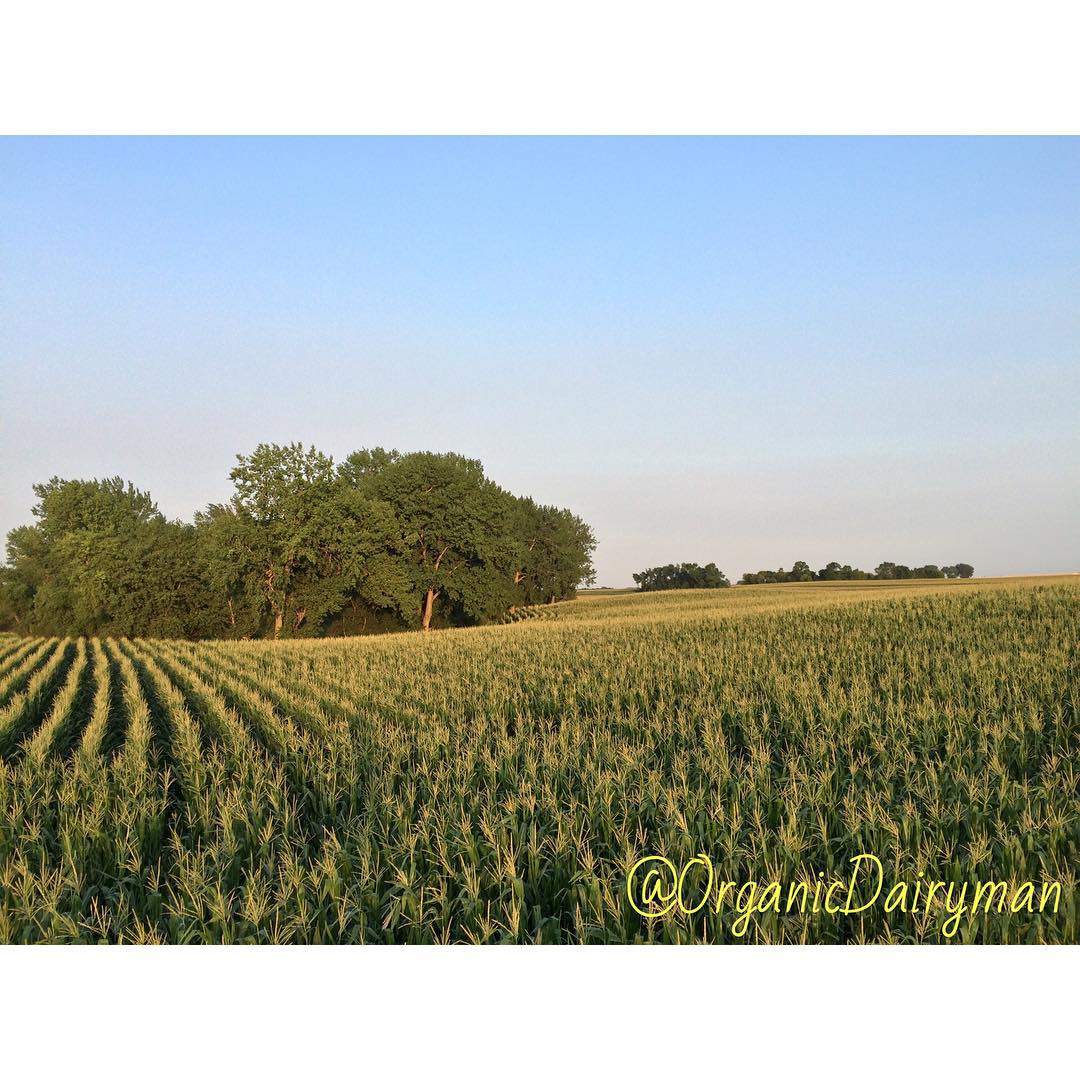
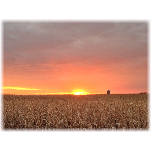
And the last picture I took last evening is of one of our corn on corn fields that we spread down with composted manure from another organic farmer. This field will end up getting chopped for corn silage this fall.
Out moving the milk cows to a new paddock & watching the stormy weather off to the north of the farm! #pastureviews
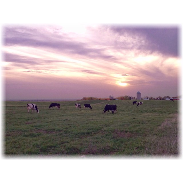
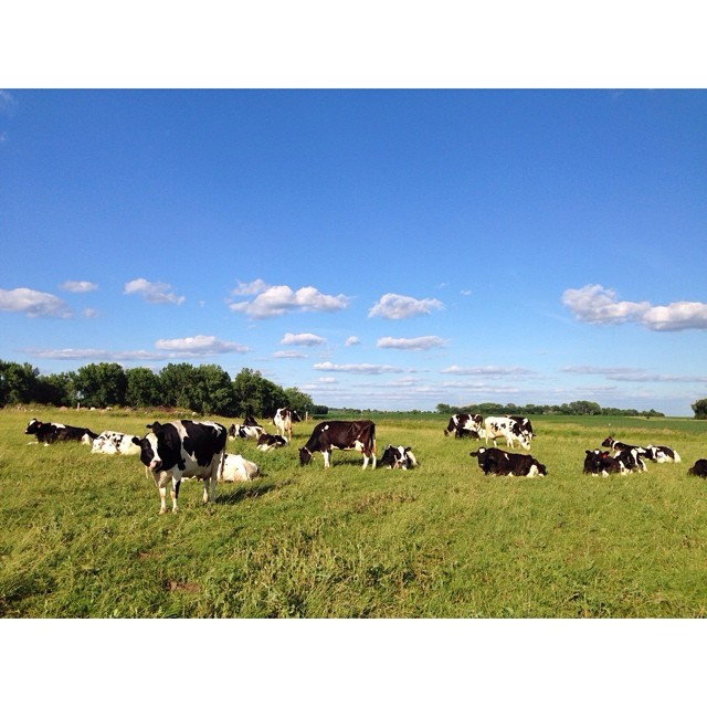
The cows out grazing on a beautiful October 10 fall evening
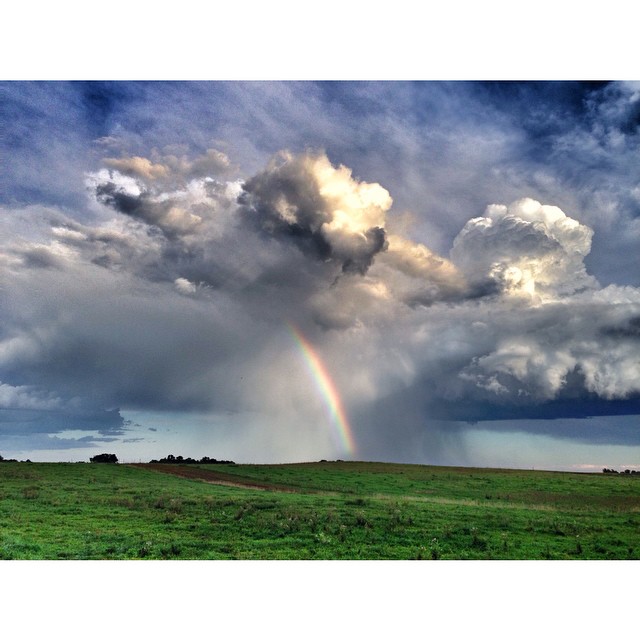
A early evening rain shower giving way to a partial rainbow.
The Setting Sun Just before the sun starts to set, a gentle golden glow Spreads across the weary world, way down below. The sun has the Midas touch; a touch of pure gold, But it’s not long until the world starts to fall cold. The sky is streaked with
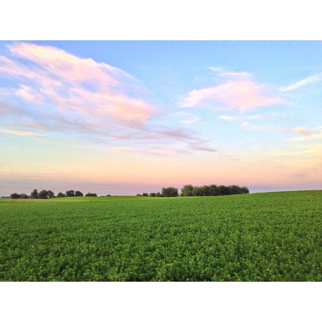
The last of sunlight reflecting its colors on the nice green landscape & on clouds in the evening skies.
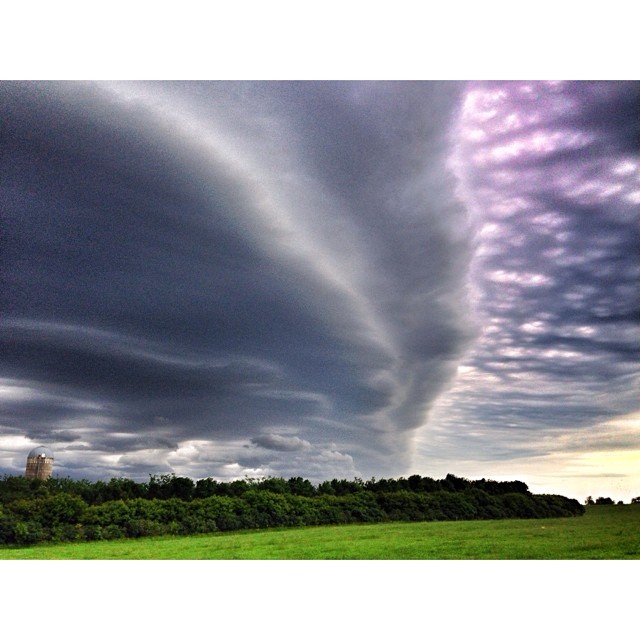
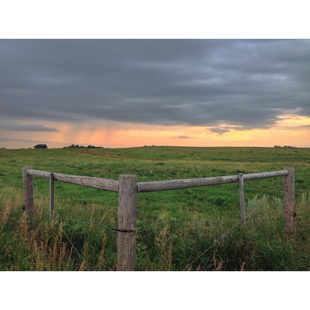
Another storm system moving into northeast sd.
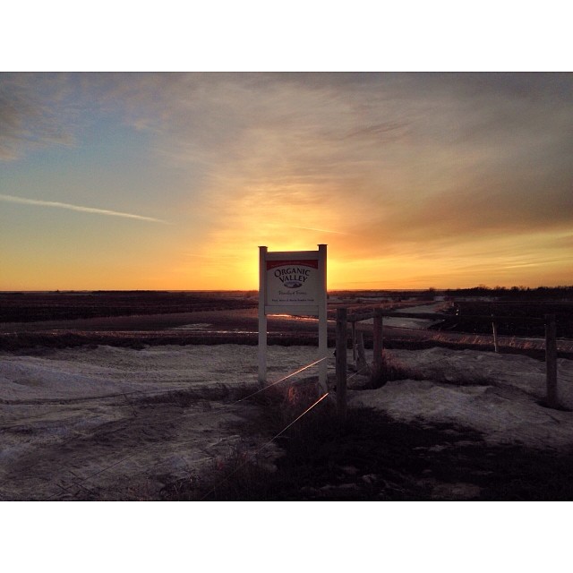
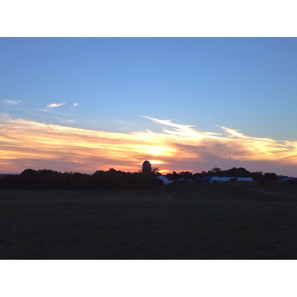
The end of a nice warm February day on the Fonder farm.
Here's a regular shot of the same scene.

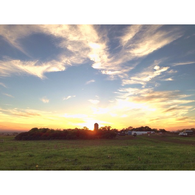
The end of another August day.
Here's a regular shot of the fall sunset!

Reflections. Partly skies being reflected over one of the many water holes on our farm from all the recent rains. Happy Sunday everyone.
The last official summer sunset of 2014.
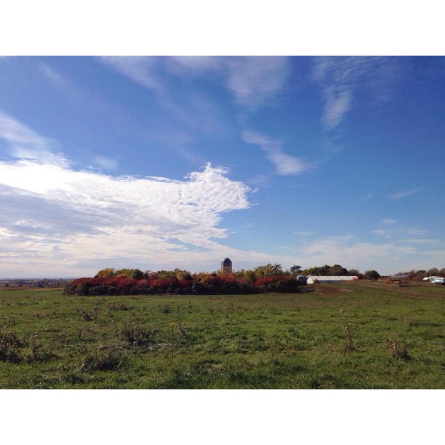
Just another nice autumn afternoon.
The cows out enjoying a beautiful fall day
Out in the pasture getting the cows up & ready to go home for milking.
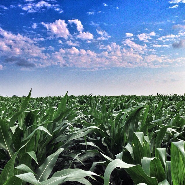
Here's an overhead shot of the same corn field. #sdagproud

Here's the number two picture of the cows silhouetted against the evening sky.
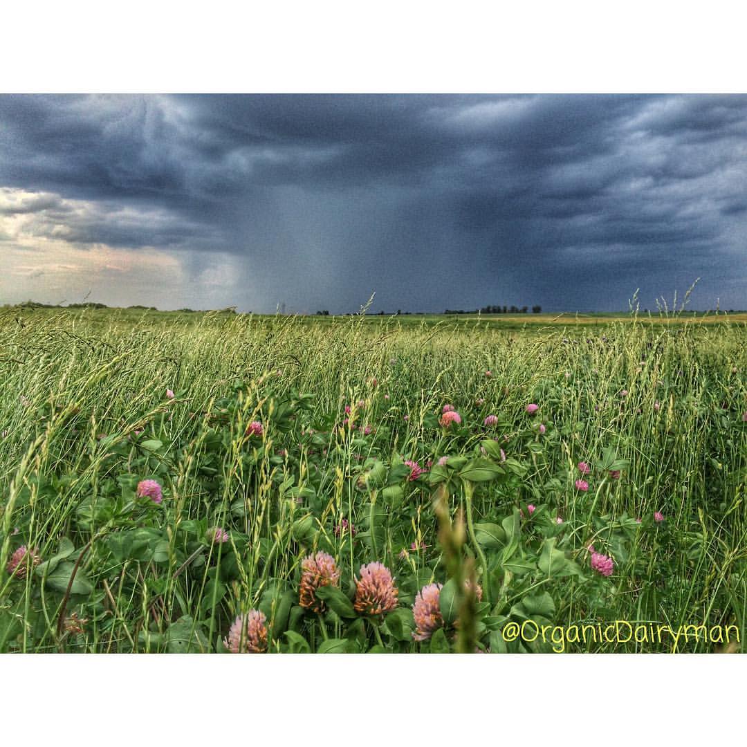
Took this picture at midday today as some dark clouds starting rolling in & bringing some much needed rain to us.
Topographic Map of 2nd St SE, Ortonville, MN, USA
Find elevation by address:

Places near 2nd St SE, Ortonville, MN, USA:
Big Stone City
Big Stone County
Milbank
Graceville Township
W St Peter Ave, Graceville, MN, USA
Graceville
Artichoke Township
th Ave, Chokio, MN, USA
Grant County
Labolt
Lac Qui Parle County
Twin Brooks
Lake Township
Strandburg
Stockholm
Wilmot
Wilmot, SD, USA
Stockholm Township
Windsor Township
Alberta
Recent Searches:
- Elevation of Congressional Dr, Stevensville, MD, USA
- Elevation of Bellview Rd, McLean, VA, USA
- Elevation of Stage Island Rd, Chatham, MA, USA
- Elevation of Shibuya Scramble Crossing, 21 Udagawacho, Shibuya City, Tokyo -, Japan
- Elevation of Jadagoniai, Kaunas District Municipality, Lithuania
- Elevation of Pagonija rock, Kranto 7-oji g. 8"N, Kaunas, Lithuania
- Elevation of Co Rd 87, Jamestown, CO, USA
- Elevation of Tenjo, Cundinamarca, Colombia
- Elevation of Côte-des-Neiges, Montreal, QC H4A 3J6, Canada
- Elevation of Bobcat Dr, Helena, MT, USA