Elevation of th Ave, Chokio, MN, USA
Location: United States > Minnesota > Big Stone County > Artichoke Township >
Longitude: -96.158938
Latitude: 45.4115696
Elevation: 342m / 1122feet
Barometric Pressure: 97KPa
Elevation Map:
Satellite Map:
Related Photos:

Abandoned

Stilt Sandpiper, Pectoral Sandpiper

Virginia Rail

Stilt Sandpiper, Pectoral Sandpiper
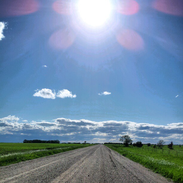
Road #Redditgram #appleton

Life amongst decay.
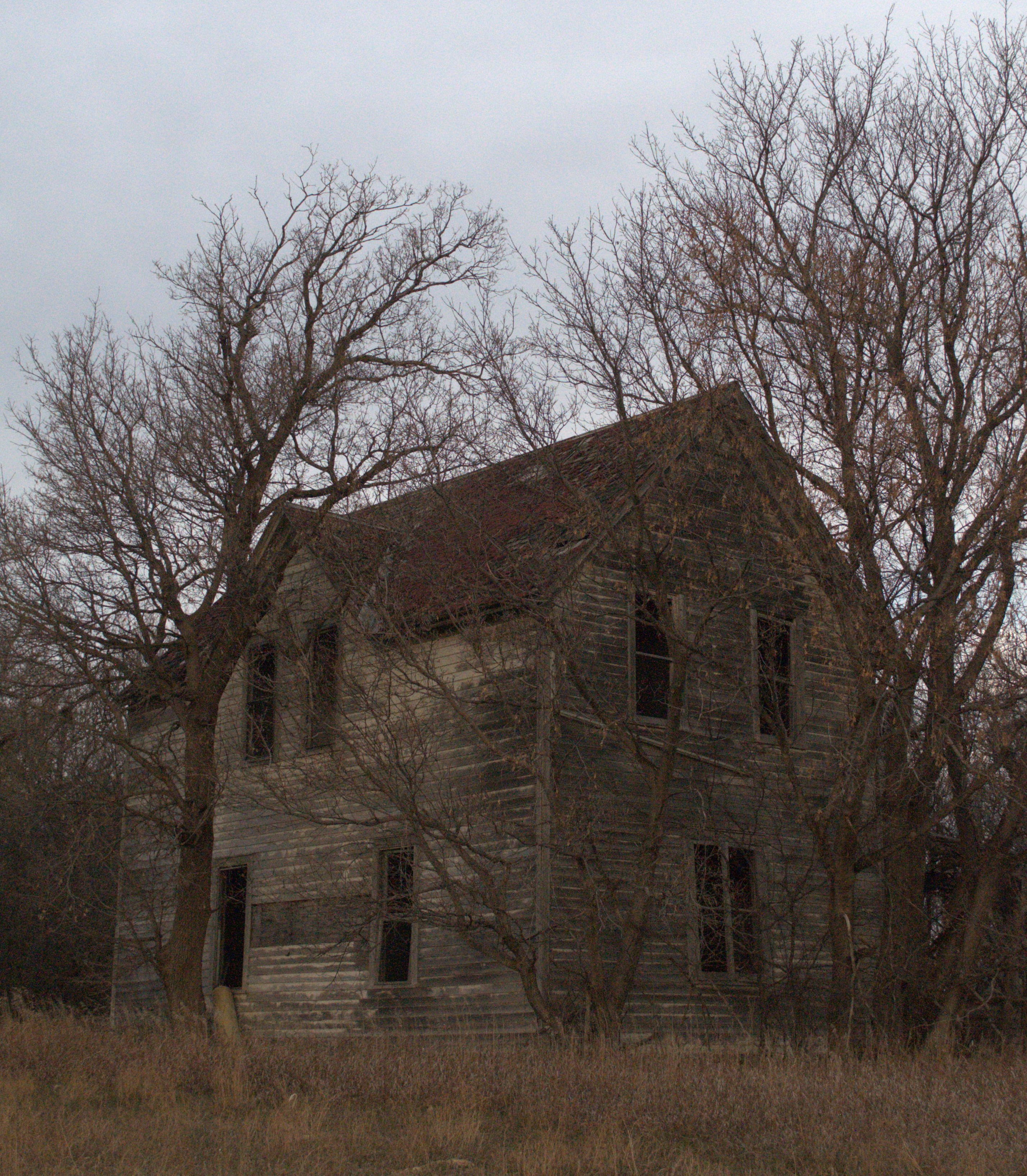
Where did they go? III
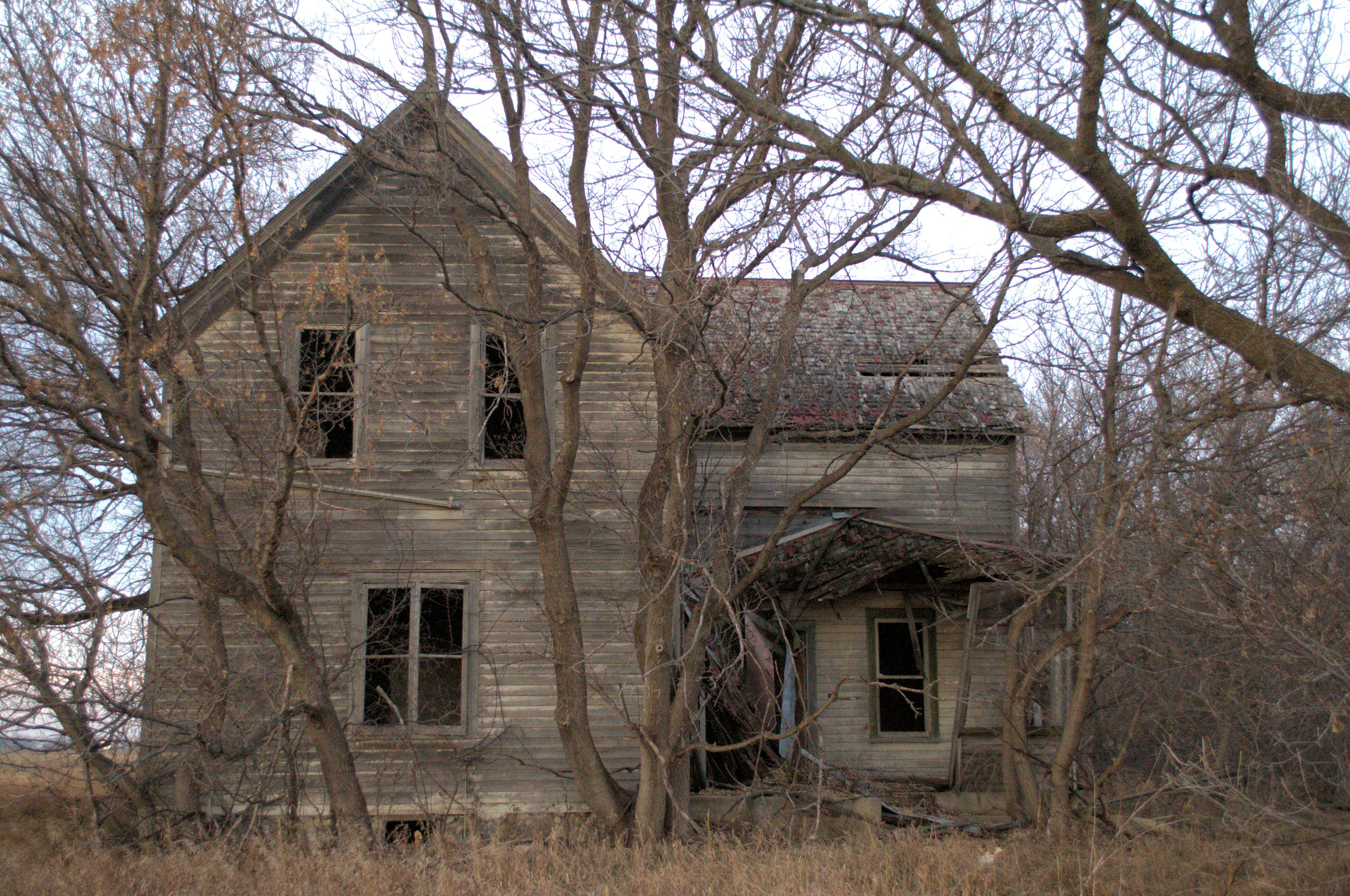
Where did they go? II
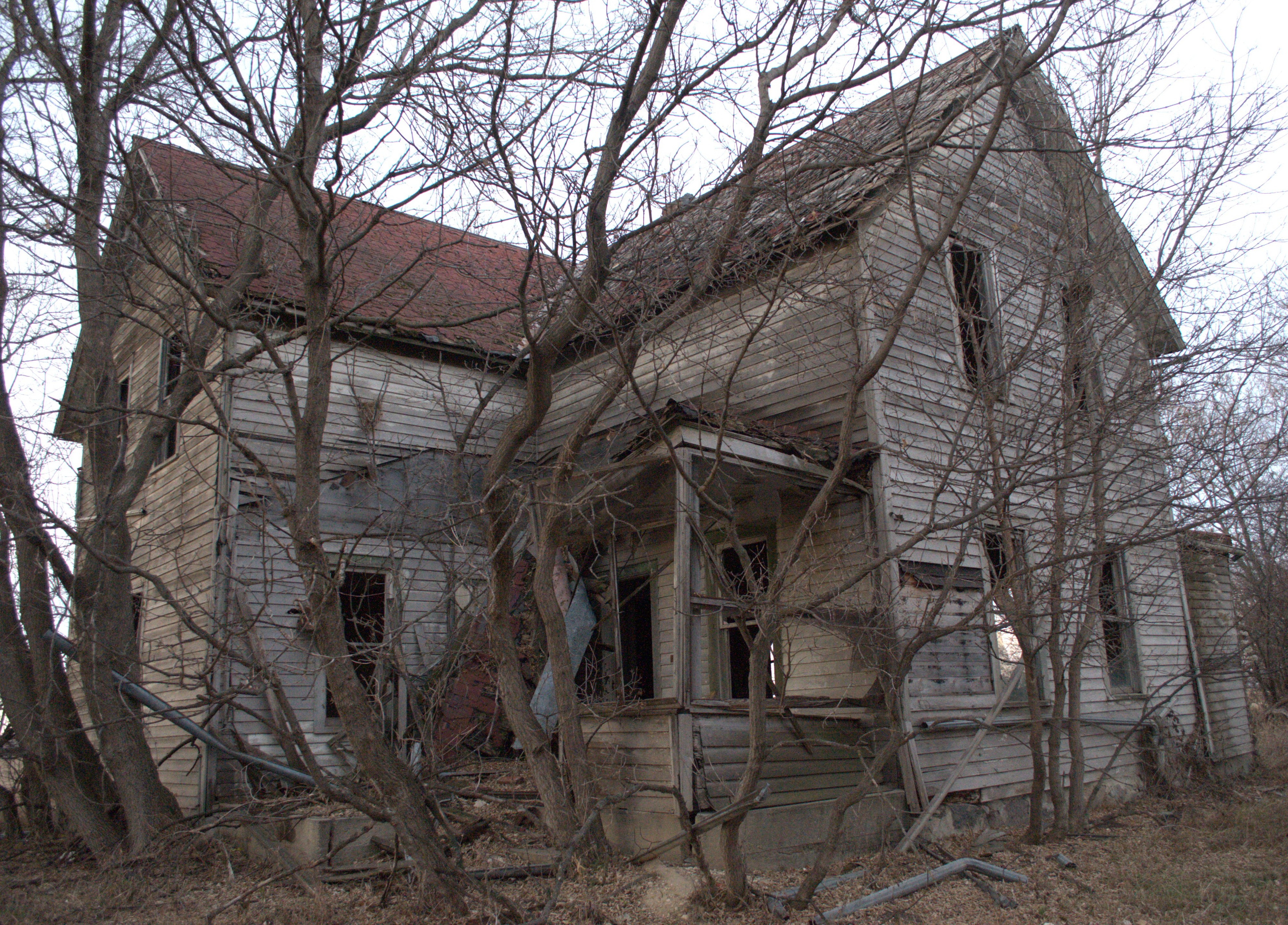
Where did they go? I

Burning prairie
Topographic Map of th Ave, Chokio, MN, USA
Find elevation by address:

Places near th Ave, Chokio, MN, USA:
Artichoke Township
Alberta
Main St, Alberta, MN, USA
Stevens County
Graceville Township
Morris
101 W 5th St
2nd Street Southeast
4th St, Donnelly, MN, USA
Donnelly
Imperial Dr, Morris, MN, USA
University Of Minnesota, Morris
Graceville
W St Peter Ave, Graceville, MN, USA
Big Stone County
Big Stone City
Lac Qui Parle County
6th St, Hancock, MN, USA
Kragero Township
Elevator Rd, Milan, MN, USA
Recent Searches:
- Elevation of Congressional Dr, Stevensville, MD, USA
- Elevation of Bellview Rd, McLean, VA, USA
- Elevation of Stage Island Rd, Chatham, MA, USA
- Elevation of Shibuya Scramble Crossing, 21 Udagawacho, Shibuya City, Tokyo -, Japan
- Elevation of Jadagoniai, Kaunas District Municipality, Lithuania
- Elevation of Pagonija rock, Kranto 7-oji g. 8"N, Kaunas, Lithuania
- Elevation of Co Rd 87, Jamestown, CO, USA
- Elevation of Tenjo, Cundinamarca, Colombia
- Elevation of Côte-des-Neiges, Montreal, QC H4A 3J6, Canada
- Elevation of Bobcat Dr, Helena, MT, USA