Elevation of Kragero Township, MN, USA
Location: United States > Minnesota > Chippewa County >
Longitude: -95.939906
Latitude: 45.0982568
Elevation: 307m / 1007feet
Barometric Pressure: 98KPa
Elevation Map:
Satellite Map:
Related Photos:
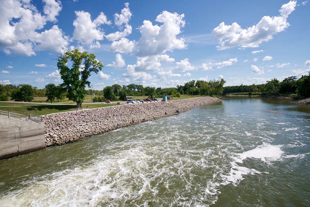
Lac qui Parle dam
A perfect day to be outdoors...
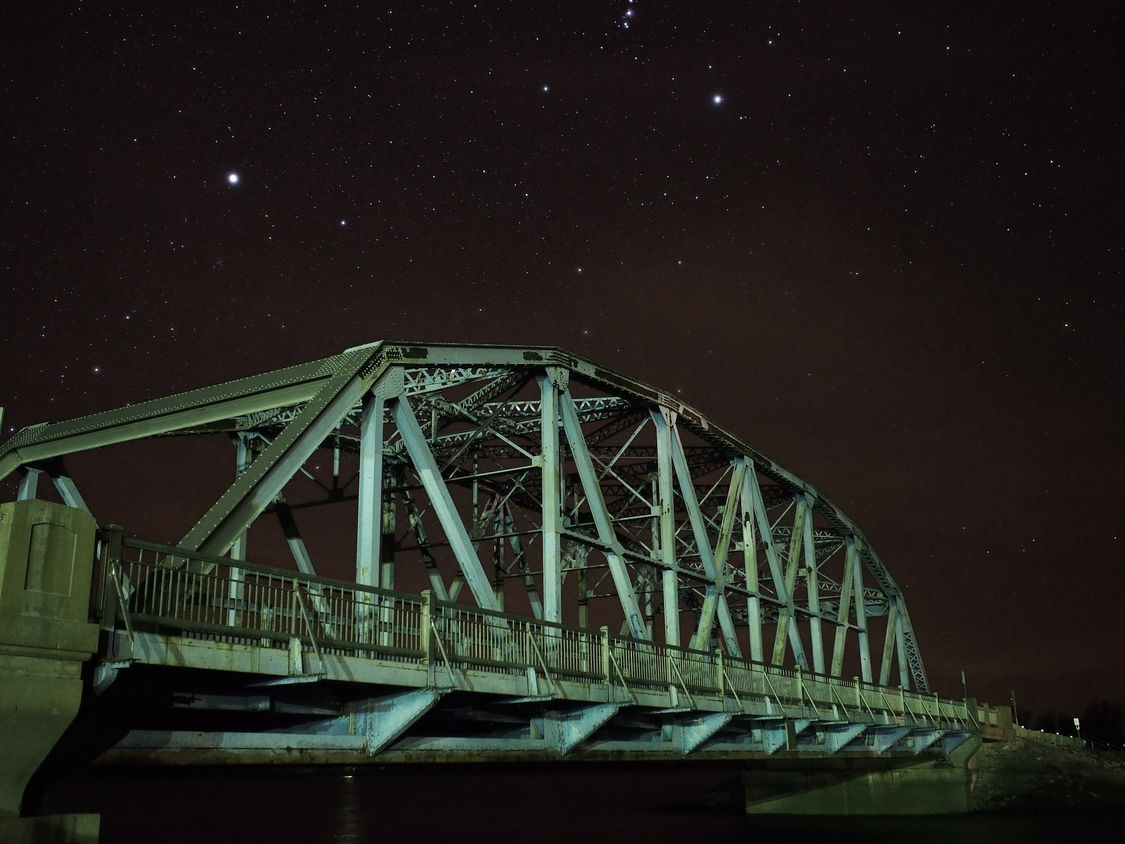
Steel under the stars
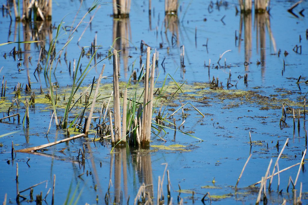
Common cattail
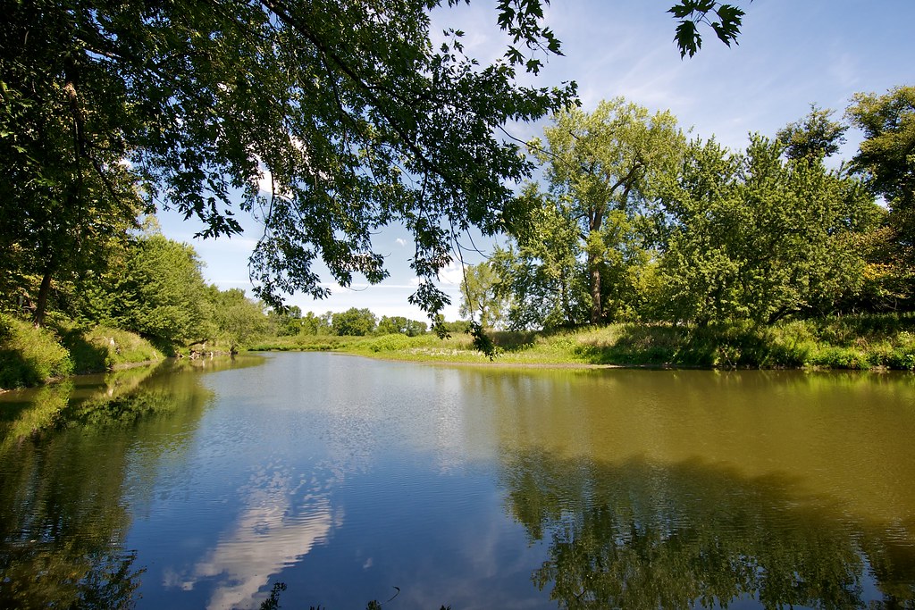
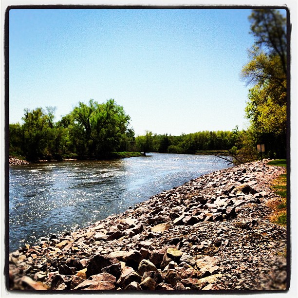
Lac qui Parle River

Rising Sun

Cerro Gordo, Minnesota

Canada thistle bud weevils

Funnel-web spider
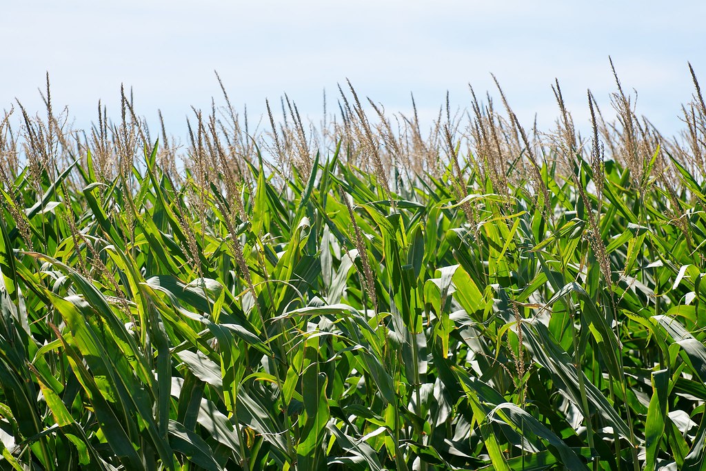
Maturing corn

Tree in Silo

Tree in Silo
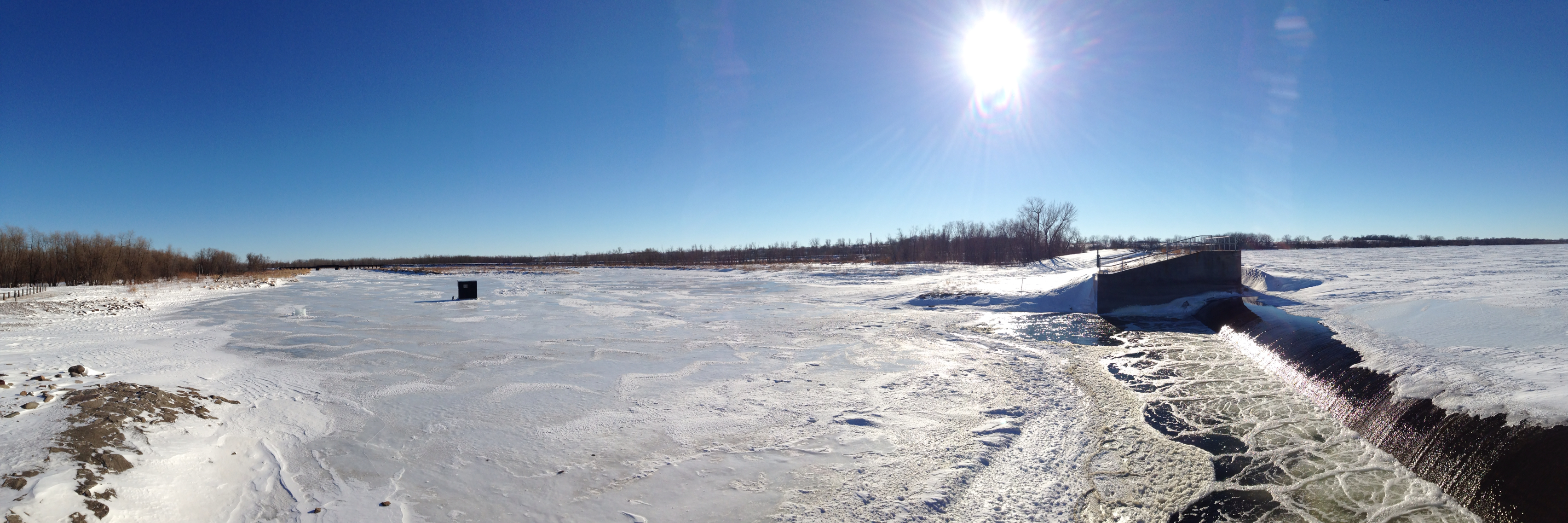
Marsh lake dam
Topographic Map of Kragero Township, MN, USA
Find elevation by address:

Places in Kragero Township, MN, USA:
Places near Kragero Township, MN, USA:
Elevator Rd, Milan, MN, USA
Lac Qui Parle Dam
Watson
438-432
Swift County
Lac Qui Parle County
Artichoke Township
W Grace Ave, Clontarf, MN, USA
th Ave, Chokio, MN, USA
Clontarf
Stevens County
6th St, Hancock, MN, USA
Alberta
Main St, Alberta, MN, USA
101 W 5th St
University Of Minnesota, Morris
Morris
Imperial Dr, Morris, MN, USA
2nd Street Southeast
Big Stone City
Recent Searches:
- Elevation of Congressional Dr, Stevensville, MD, USA
- Elevation of Bellview Rd, McLean, VA, USA
- Elevation of Stage Island Rd, Chatham, MA, USA
- Elevation of Shibuya Scramble Crossing, 21 Udagawacho, Shibuya City, Tokyo -, Japan
- Elevation of Jadagoniai, Kaunas District Municipality, Lithuania
- Elevation of Pagonija rock, Kranto 7-oji g. 8"N, Kaunas, Lithuania
- Elevation of Co Rd 87, Jamestown, CO, USA
- Elevation of Tenjo, Cundinamarca, Colombia
- Elevation of Côte-des-Neiges, Montreal, QC H4A 3J6, Canada
- Elevation of Bobcat Dr, Helena, MT, USA