Elevation of Leola Township, SD, USA
Location: United States > South Dakota > Codington County >
Longitude: -96.975748
Latitude: 45.105318
Elevation: 597m / 1959feet
Barometric Pressure: 94KPa
Elevation Map:
Satellite Map:
Related Photos:
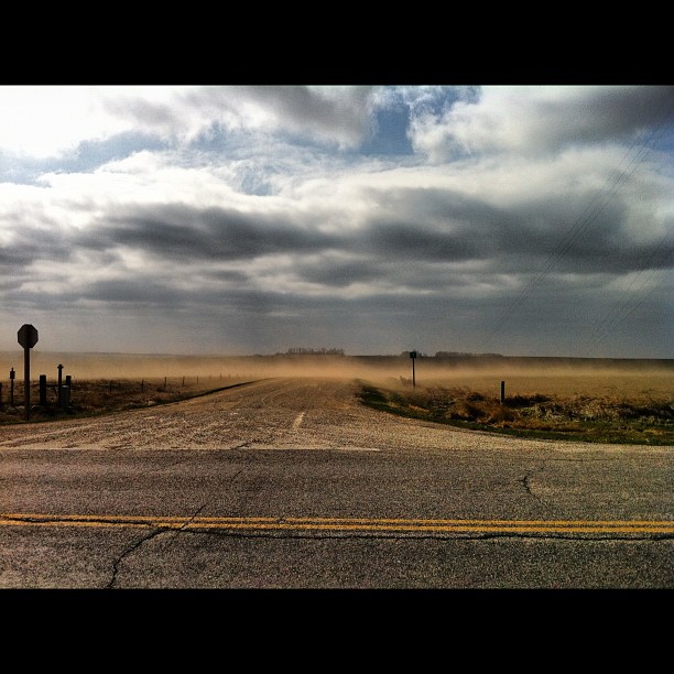
I wonder if this was it was like during the dirty 30's! It was really windy here in northeast SD today & this farmer had just seeded this field to wheat yesterday & stirred up the dirt & today it was all blowing away in 50 to 60 mile an hour wind gusts!

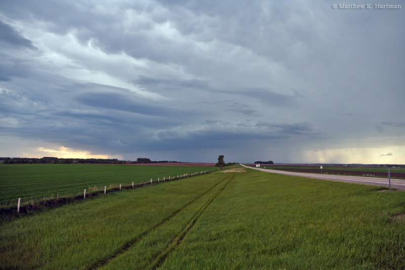
Last Wheat Pic
South Dakota - Day 3 of 7

Wheat (Harvest Festival Possibilities
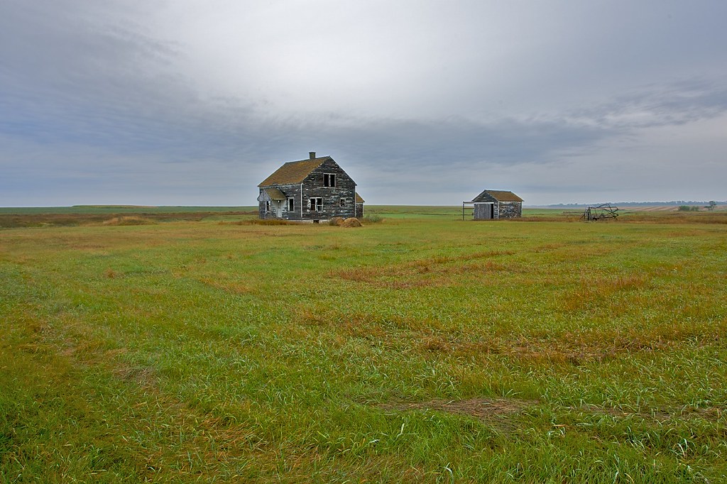
Abandoned Farmstead

south dakota sunset

Golden Braids

Amber Waves

2013 08-20 Prairie Relic

2013 08-22 Variations on a Tree by Scott Shephard

South Dakota-90
Topographic Map of Leola Township, SD, USA
Find elevation by address:

Places in Leola Township, SD, USA:
Places near Leola Township, SD, USA:
South Shore
Stockholm Township
Stockholm
Twin Brooks
Strandburg
Grant County
Labolt
Wilmot
Wilmot, SD, USA
Milbank
Lake Township
Lawrence Township
Peever
Broadway, Browns Valley, MN, USA
Browns Valley
Big Stone City
2nd Street Southeast
Big Stone County
Lake Traverse
Windsor Township
Recent Searches:
- Elevation of Elwyn Dr, Roanoke Rapids, NC, USA
- Elevation of Congressional Dr, Stevensville, MD, USA
- Elevation of Bellview Rd, McLean, VA, USA
- Elevation of Stage Island Rd, Chatham, MA, USA
- Elevation of Shibuya Scramble Crossing, 21 Udagawacho, Shibuya City, Tokyo -, Japan
- Elevation of Jadagoniai, Kaunas District Municipality, Lithuania
- Elevation of Pagonija rock, Kranto 7-oji g. 8"N, Kaunas, Lithuania
- Elevation of Co Rd 87, Jamestown, CO, USA
- Elevation of Tenjo, Cundinamarca, Colombia
- Elevation of Côte-des-Neiges, Montreal, QC H4A 3J6, Canada