Elevation of Wildwood Rd, Wildwood, CA, USA
Location: United States > California > Trinity County > Wildwood >
Longitude: -123.05367
Latitude: 40.400508
Elevation: 1029m / 3376feet
Barometric Pressure: 90KPa
Elevation Map:
Satellite Map:
Related Photos:

_7170061.NEF

Sunset Fireworks
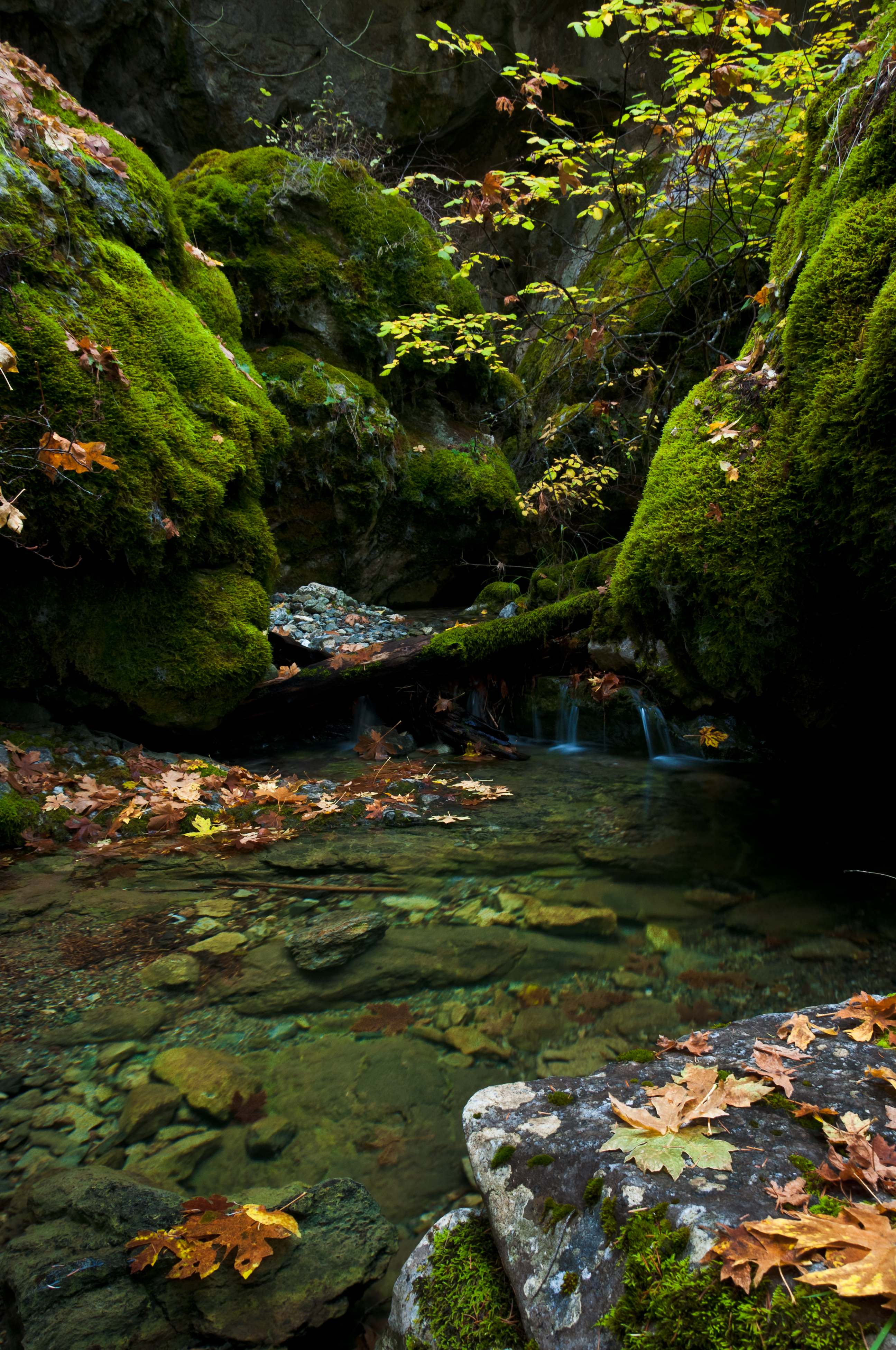
Natural Land Bridge
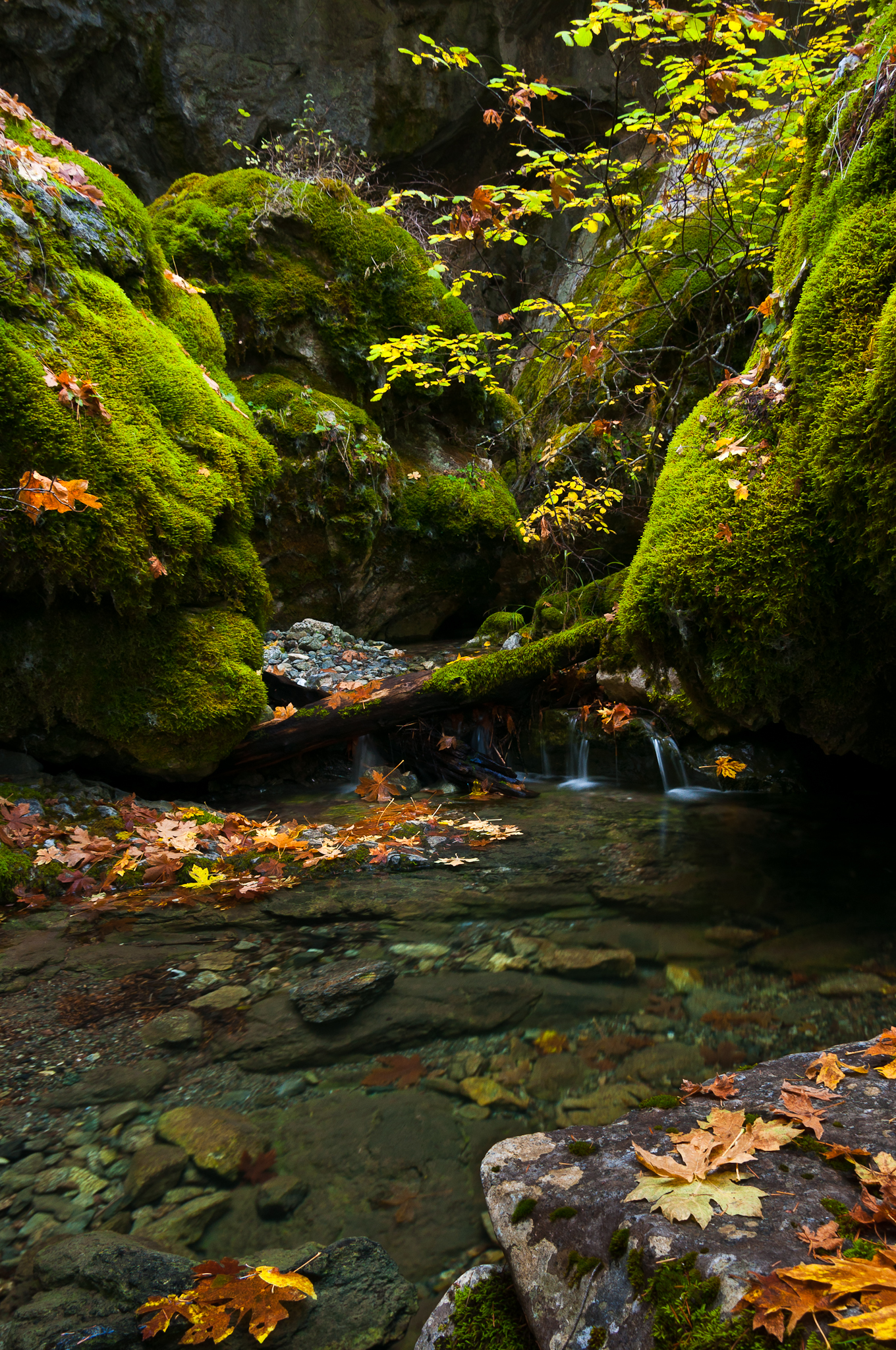
Natural Land Bridge

_7170063.NEF
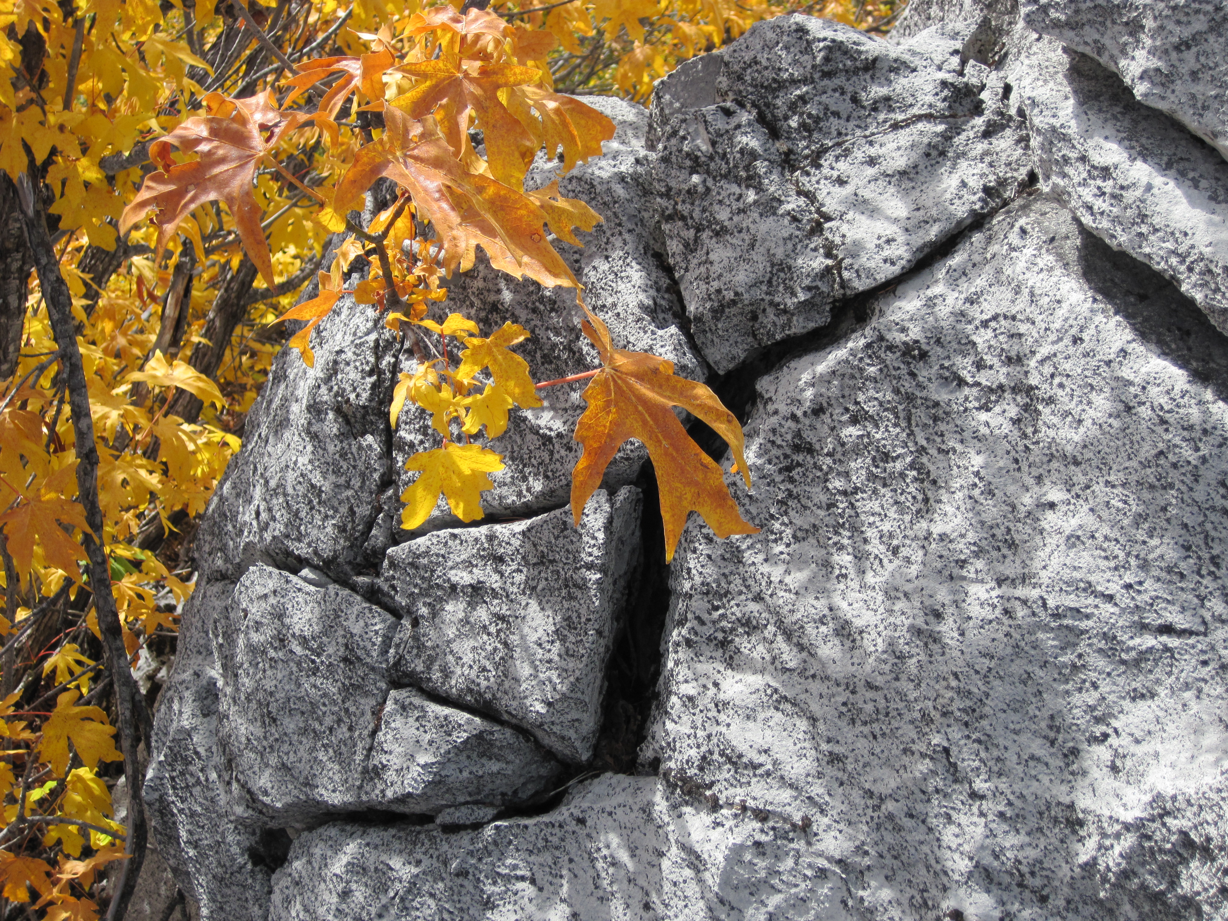
Bigleaf maple and limestone, Trinity County, California
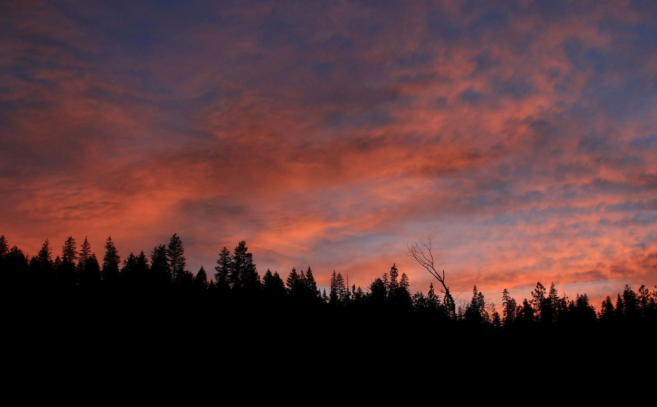
Sunset Blush

_7170064.NEF

_7170067.NEF
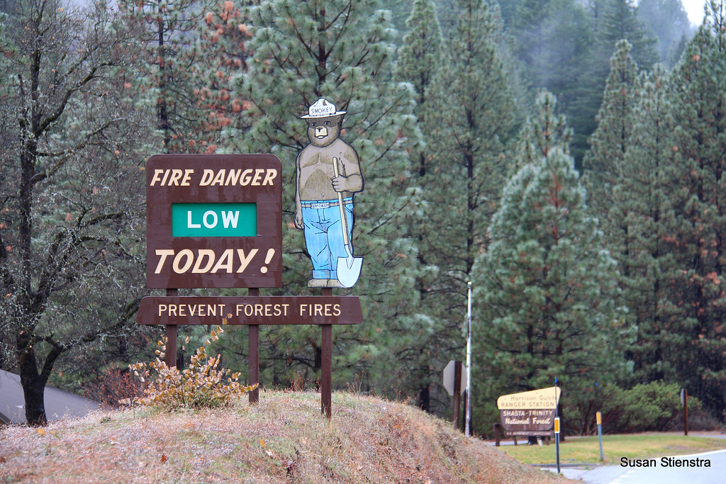
Smokey in Shasta Trinity National Forest
WP_20150702_009.jpg
WP_20150702_008.jpg
WP_20150702_007.jpg
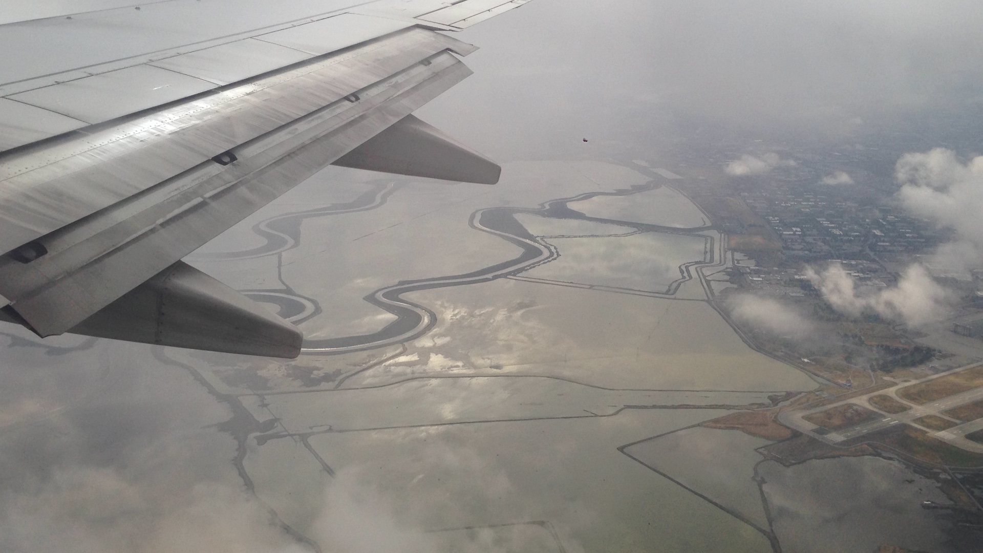
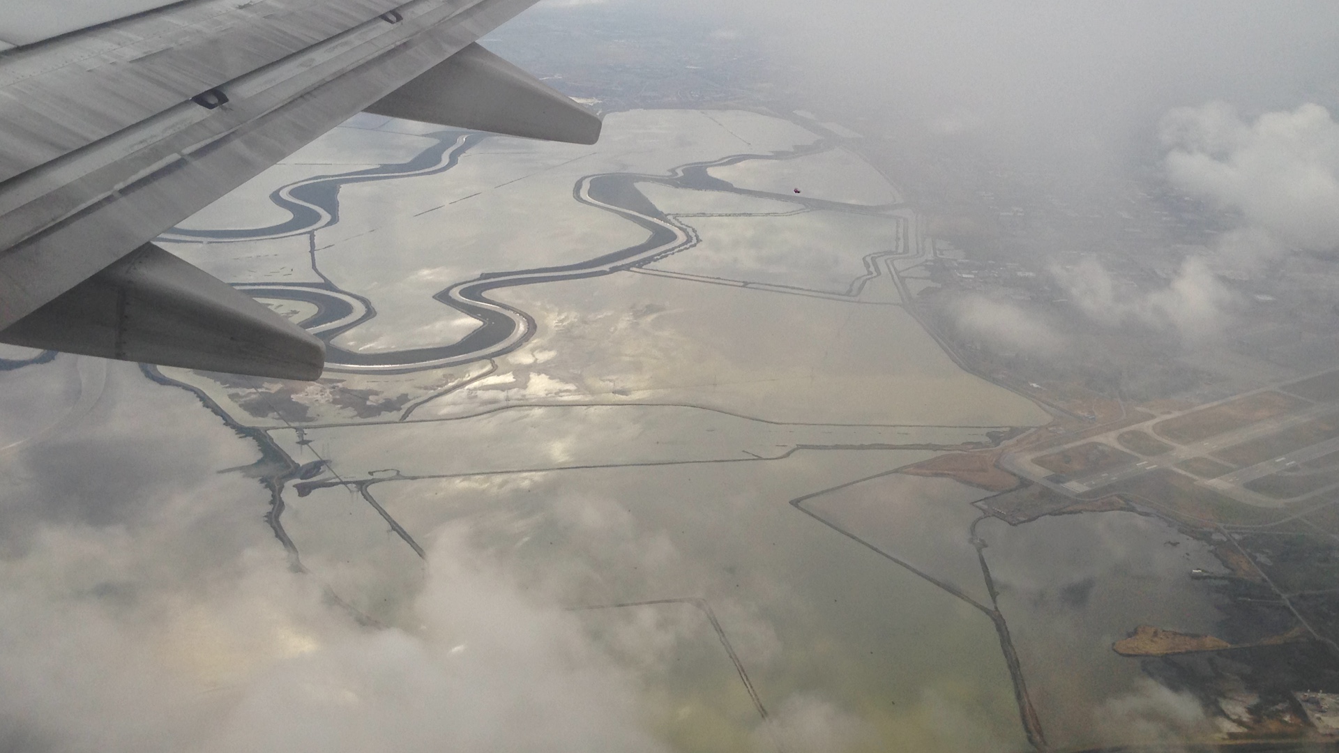
San Francisco trip

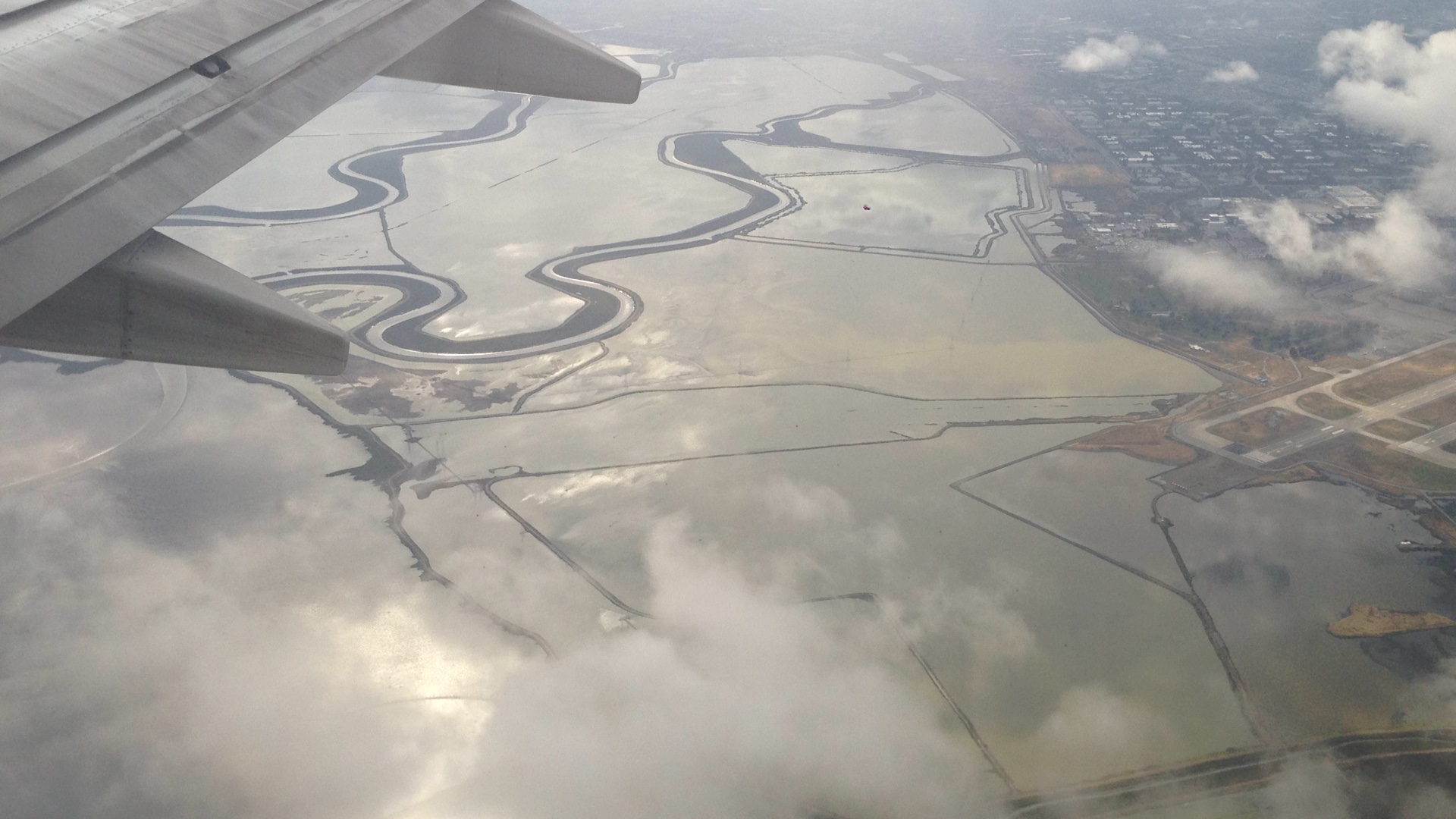
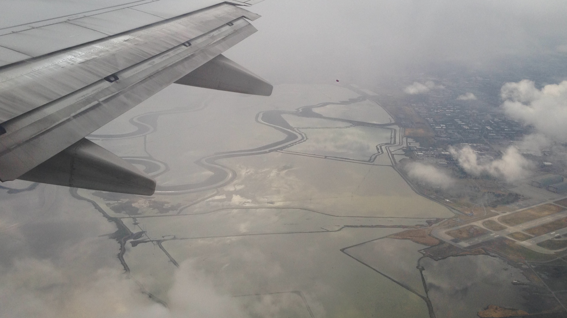
San Francisco trip
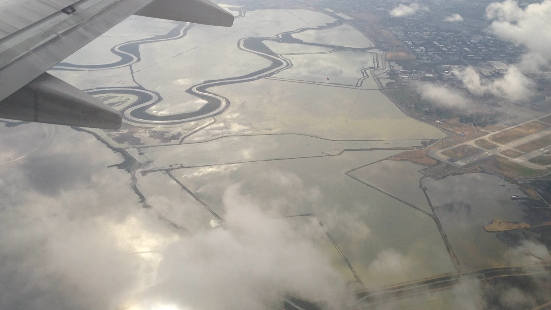
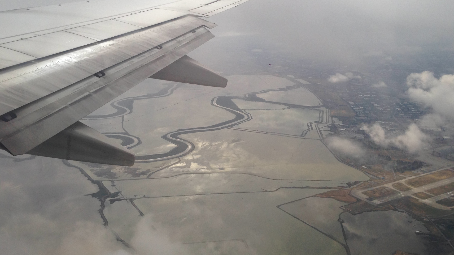
San Francisco trip
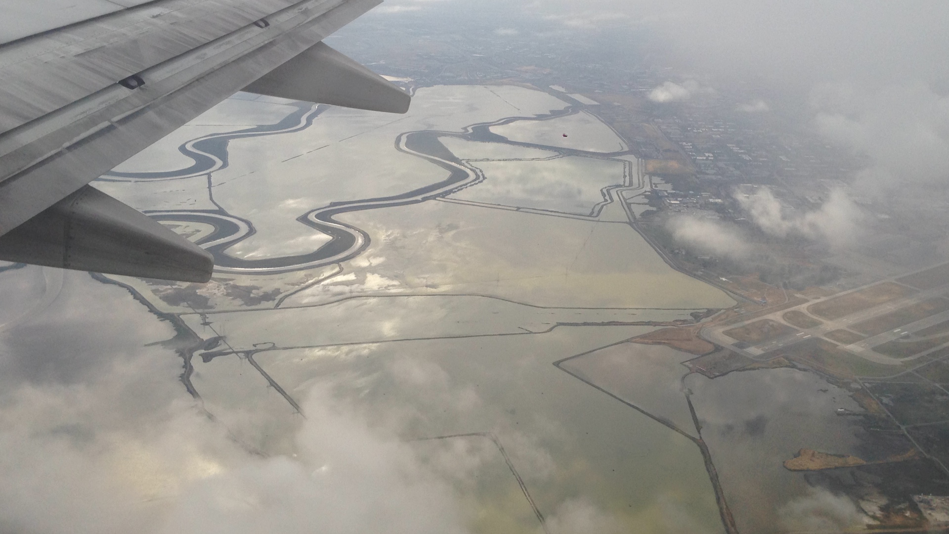
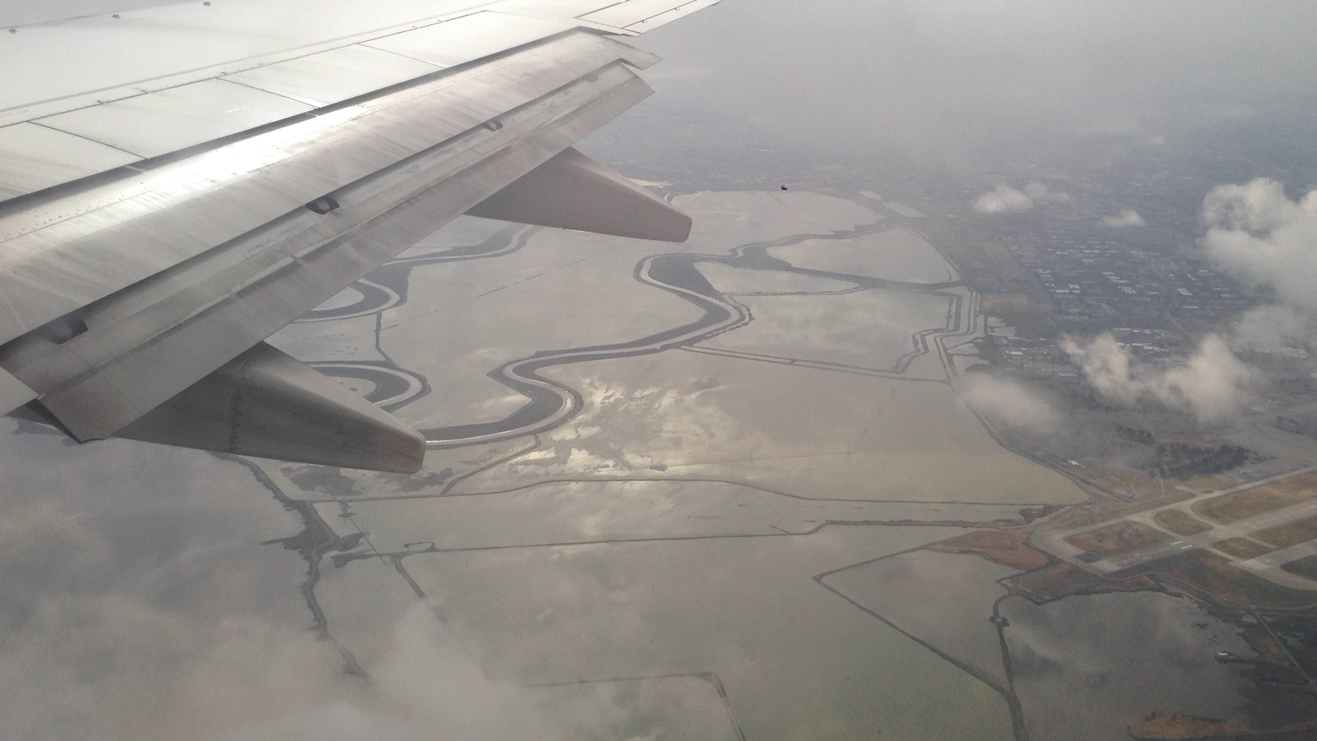
San Francisco trip
San Francisco trip
San Francisco trip
San Francisco trip
San Francisco trip
San Francisco trip
San Francisco trip

San Francisco trip
Topographic Map of Wildwood Rd, Wildwood, CA, USA
Find elevation by address:

Places near Wildwood Rd, Wildwood, CA, USA:
Wildwood
2890 Wildwood Rd
Harrison Gulch Rd, Platina, CA, USA
2989 Harrison Gulch Rd
Chanchelulla Peak
Pine Root Spring Campground
Yolla Bolla Area
St. Herman Of Alaska Monastery
Platina
570 3 Hills Rd
850 Ponderosa Rd
Beegum Gorge
Hayfork
North Yolla Bolly
North Yolla Bolly Mountains
Trinity County
Wells Creek Campground
6700 Ca-36
Steiner Flat Rd, Douglas City, CA, USA
Douglas City
Recent Searches:
- Elevation of Congressional Dr, Stevensville, MD, USA
- Elevation of Bellview Rd, McLean, VA, USA
- Elevation of Stage Island Rd, Chatham, MA, USA
- Elevation of Shibuya Scramble Crossing, 21 Udagawacho, Shibuya City, Tokyo -, Japan
- Elevation of Jadagoniai, Kaunas District Municipality, Lithuania
- Elevation of Pagonija rock, Kranto 7-oji g. 8"N, Kaunas, Lithuania
- Elevation of Co Rd 87, Jamestown, CO, USA
- Elevation of Tenjo, Cundinamarca, Colombia
- Elevation of Côte-des-Neiges, Montreal, QC H4A 3J6, Canada
- Elevation of Bobcat Dr, Helena, MT, USA