Elevation of Wildwood Rd, Platina, CA, USA
Location: United States > California > Platina >
Longitude: -123.05908
Latitude: 40.4024622
Elevation: 1012m / 3320feet
Barometric Pressure: 90KPa
Elevation Map:
Satellite Map:
Related Photos:

Viewing Northern California Clouds From 35,000 Feet
Natural Land Bridge

Sunset Blush

Natural Land Bridge

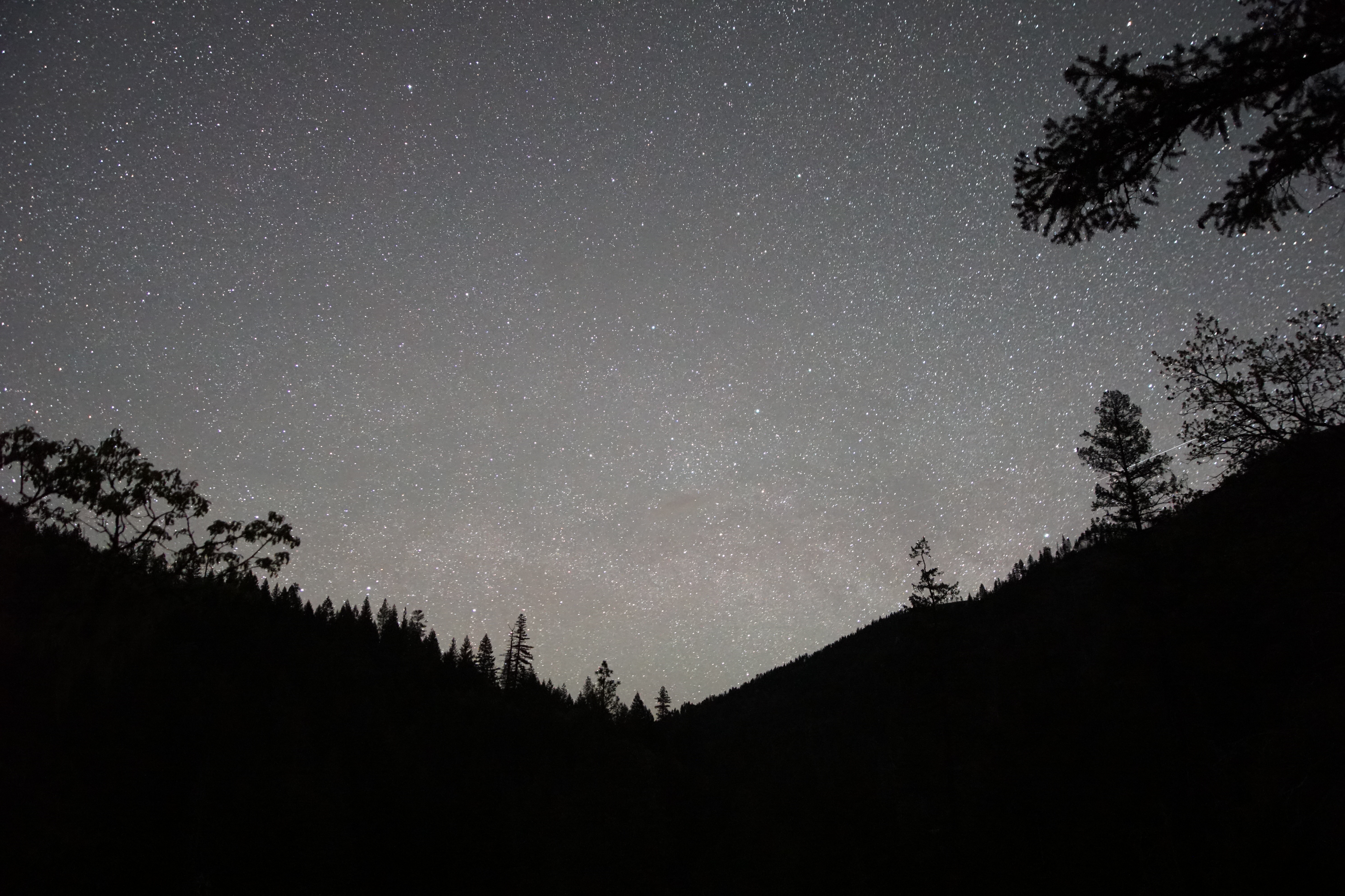
Moonlit Nights

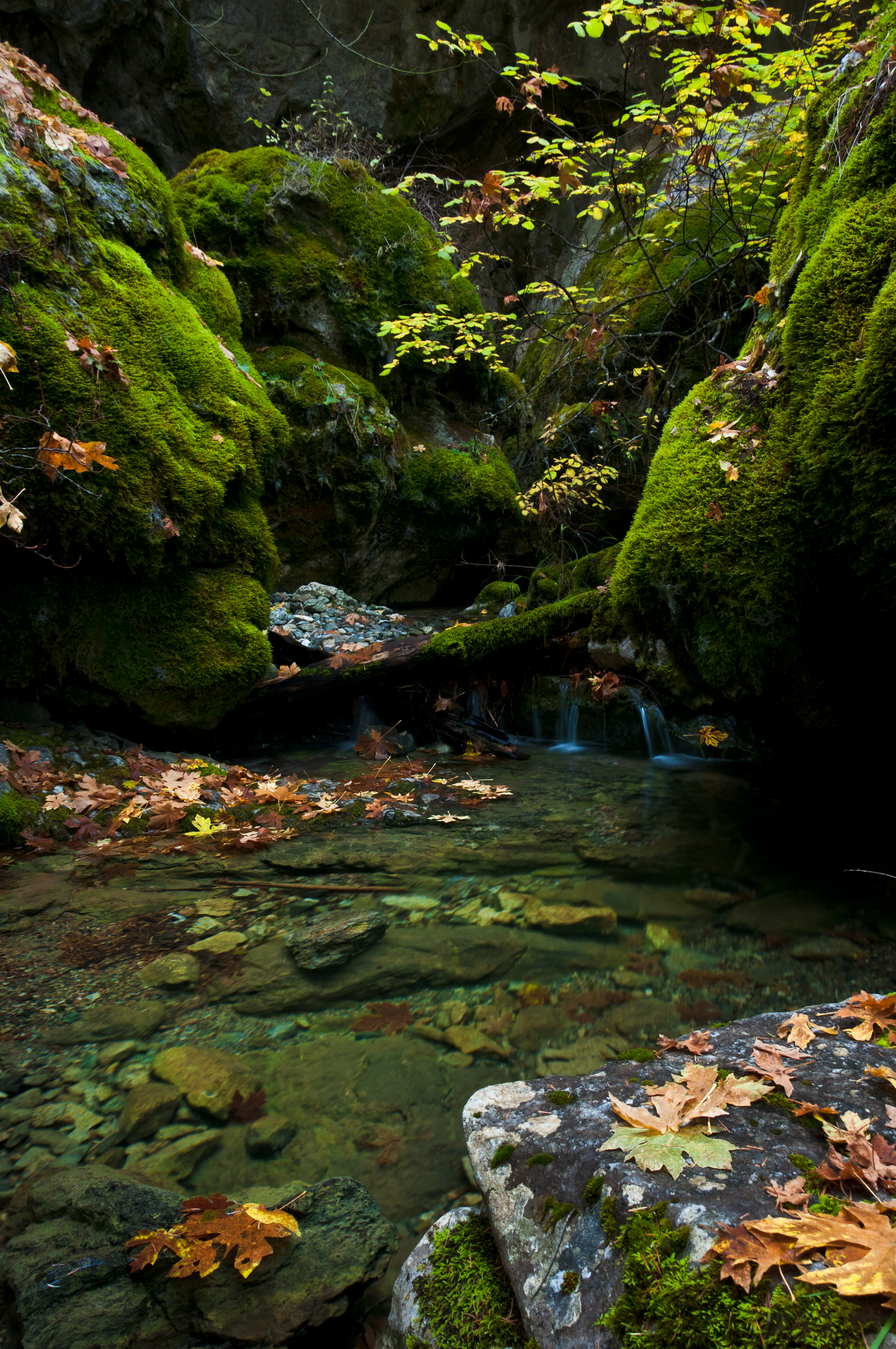
Bigleaf maple and limestone, Trinity County, California

trinity shasta
Deadshot Gulch

_7170063.NEF

_7170067.NEF

_7170061.NEF

_7170064.NEF
Topographic Map of Wildwood Rd, Platina, CA, USA
Find elevation by address:

Places near Wildwood Rd, Platina, CA, USA:
Wildwood
Wildwood Rd, Wildwood, CA, USA
Harrison Gulch Rd, Platina, CA, USA
2989 Harrison Gulch Rd
Chanchelulla Peak
Pine Root Spring Campground
Yolla Bolla Area
St. Herman Of Alaska Monastery
Platina
570 3 Hills Rd
850 Ponderosa Rd
Beegum Gorge
Hayfork
North Yolla Bolly
North Yolla Bolly Mountains
Trinity County
Wells Creek Campground
6700 Ca-36
Steiner Flat Rd, Douglas City, CA, USA
Douglas City
Recent Searches:
- Elevation of Lampiasi St, Sarasota, FL, USA
- Elevation of Elwyn Dr, Roanoke Rapids, NC, USA
- Elevation of Congressional Dr, Stevensville, MD, USA
- Elevation of Bellview Rd, McLean, VA, USA
- Elevation of Stage Island Rd, Chatham, MA, USA
- Elevation of Shibuya Scramble Crossing, 21 Udagawacho, Shibuya City, Tokyo -, Japan
- Elevation of Jadagoniai, Kaunas District Municipality, Lithuania
- Elevation of Pagonija rock, Kranto 7-oji g. 8"N, Kaunas, Lithuania
- Elevation of Co Rd 87, Jamestown, CO, USA
- Elevation of Tenjo, Cundinamarca, Colombia