Elevation of 3 Hills Rd, Hayfork, CA, USA
Location: United States > California > Trinity County > Hayfork >
Longitude: -123.23069
Latitude: 40.4286625
Elevation: 1105m / 3625feet
Barometric Pressure: 89KPa
Elevation Map:
Satellite Map:
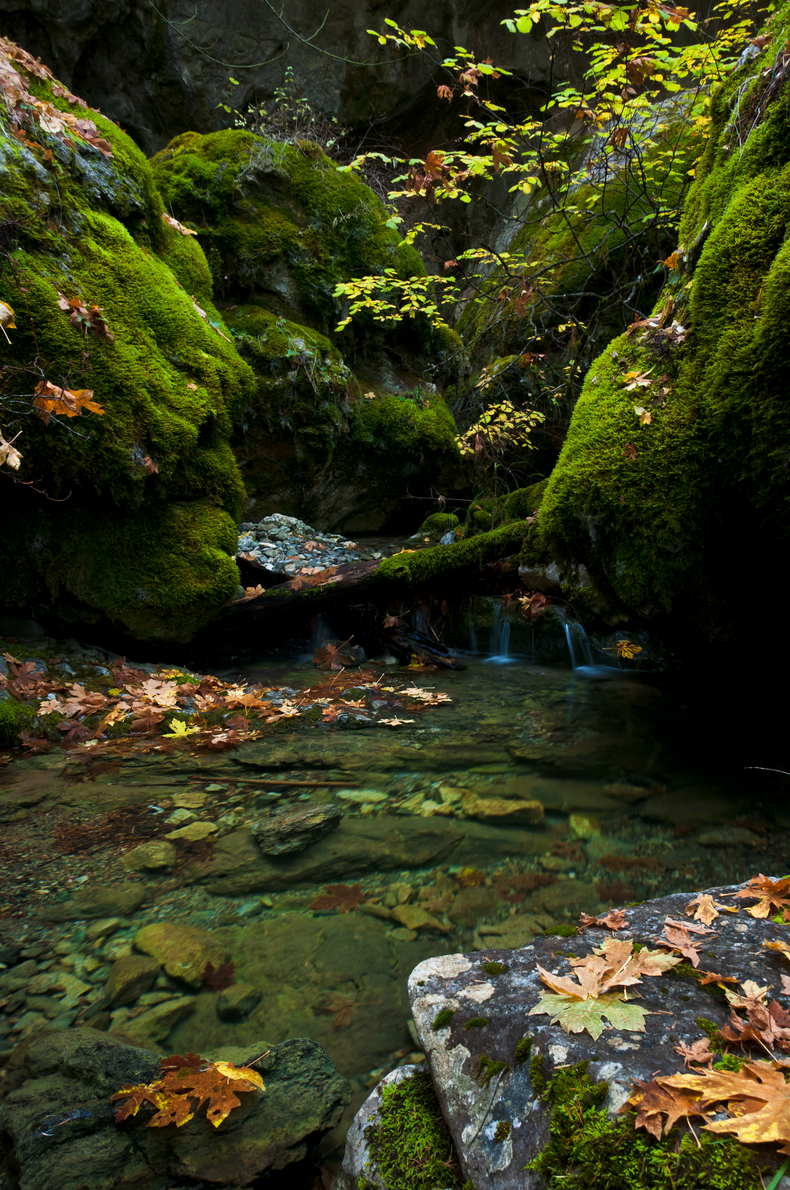
Related Photos:

Viewing Northern California Clouds From 35,000 Feet

Another Wilderness view between Humboldt and Shasta

Natural Land Bridge
Natural Land Bridge

Sunset Blush

Dropping the girl off for camp. #nofilter #camptrinity2016 #trinityalps

Shasta-Trinity National Forest, California

Ewing Reservoir, Hayfork, California

South Fork Trinity River, CA

Hwy. 36 overlook

Hwy. 36 overlook

Hwy. 36 overlook

Picture-001

_7310098.NEF

_7170066.NEF
Topographic Map of 3 Hills Rd, Hayfork, CA, USA
Find elevation by address:

Places near 3 Hills Rd, Hayfork, CA, USA:
850 Ponderosa Rd
Hayfork
2890 Wildwood Rd
Wildwood
Pine Root Spring Campground
Wildwood Rd, Wildwood, CA, USA
Ruth
Mad River Rd, Mad River, CA, USA
Fir Cove Campground
Hayfork Bally
Chanchelulla Peak
Harrison Gulch Rd, Platina, CA, USA
2989 Harrison Gulch Rd
Trinity County
Yolla Bolla Area
Lamb Creek
Mad River
420 Price Creek Rd
Big Bar
Black Lassic
Recent Searches:
- Elevation of W Granada St, Tampa, FL, USA
- Elevation of Pykes Down, Ivybridge PL21 0BY, UK
- Elevation of Jalan Senandin, Lutong, Miri, Sarawak, Malaysia
- Elevation of Bilohirs'k
- Elevation of 30 Oak Lawn Dr, Barkhamsted, CT, USA
- Elevation of Luther Road, Luther Rd, Auburn, CA, USA
- Elevation of Unnamed Road, Respublika Severnaya Osetiya — Alaniya, Russia
- Elevation of Verkhny Fiagdon, North Ossetia–Alania Republic, Russia
- Elevation of F. Viola Hiway, San Rafael, Bulacan, Philippines
- Elevation of Herbage Dr, Gulfport, MS, USA