Elevation of North Yolla Bolly, California, USA
Location: United States > California > Trinity County > Paynes Creek >
Longitude: -122.97361
Latitude: 40.1961111
Elevation: 2333m / 7654feet
Barometric Pressure: 76KPa
Elevation Map:
Satellite Map:
Related Photos:

_7170060.NEF
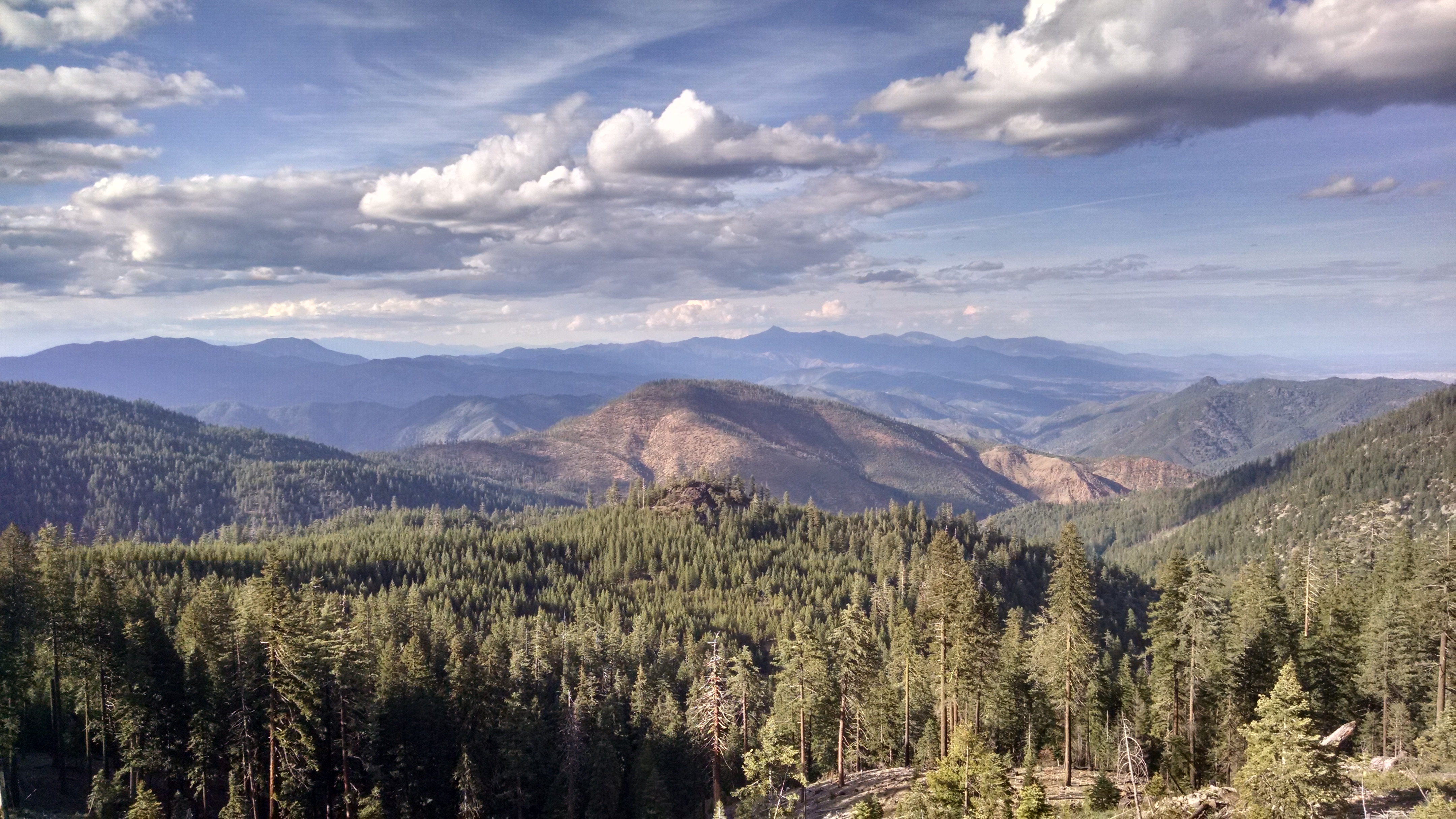
Looking north toward Shasta/Trinity from near North Yolla Bolla

_7170061.NEF

_7170063.NEF
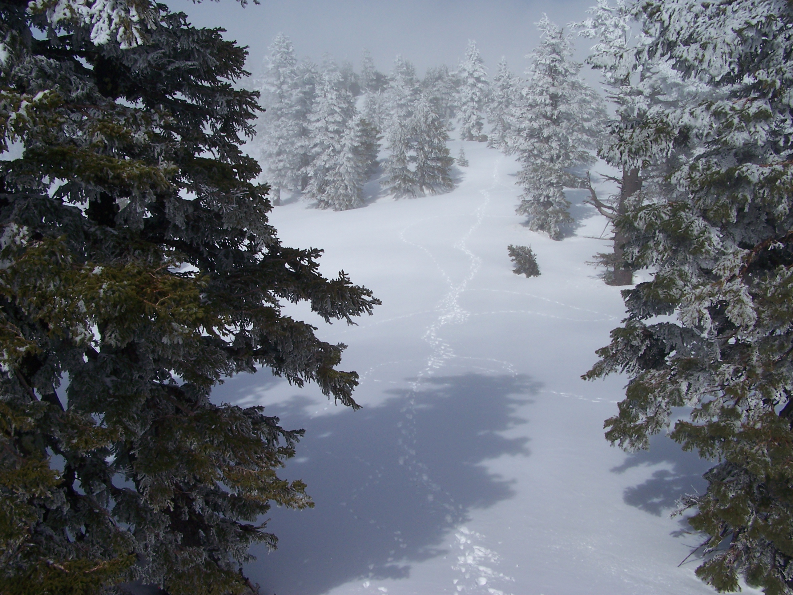
North Yolla Bolly looking north, 5-26-11 1 132

_7170058.NEF

_7170059.NEF
Topographic Map of North Yolla Bolly, California, USA
Find elevation by address:

Places near North Yolla Bolly, California, USA:
North Yolla Bolly Mountains
Yolla Bolla Area
Usfs Road
Wells Creek Campground
Tomhead Saddle Campground
St. Herman Of Alaska Monastery
Pine Root Spring Campground
Saddle Camp Campground
2989 Harrison Gulch Rd
Solomon Peak
Beegum Gorge
Platina
Harrison Gulch Rd, Platina, CA, USA
Mount Linn
6700 Ca-36
Wildwood
Wildwood Rd, Wildwood, CA, USA
2890 Wildwood Rd
Chanchelulla Peak
Leech Lake Mountain
Recent Searches:
- Elevation of Corso Fratelli Cairoli, 35, Macerata MC, Italy
- Elevation of Tallevast Rd, Sarasota, FL, USA
- Elevation of 4th St E, Sonoma, CA, USA
- Elevation of Black Hollow Rd, Pennsdale, PA, USA
- Elevation of Oakland Ave, Williamsport, PA, USA
- Elevation of Pedrógão Grande, Portugal
- Elevation of Klee Dr, Martinsburg, WV, USA
- Elevation of Via Roma, Pieranica CR, Italy
- Elevation of Tavkvetili Mountain, Georgia
- Elevation of Hartfords Bluff Cir, Mt Pleasant, SC, USA