Elevation of Wilderness Rd, Bland, VA, USA
Location: United States > Virginia > Bland County > >
Longitude: -80.955529
Latitude: 37.1866523
Elevation: 647m / 2123feet
Barometric Pressure: 94KPa
Elevation Map:
Satellite Map:
Related Photos:
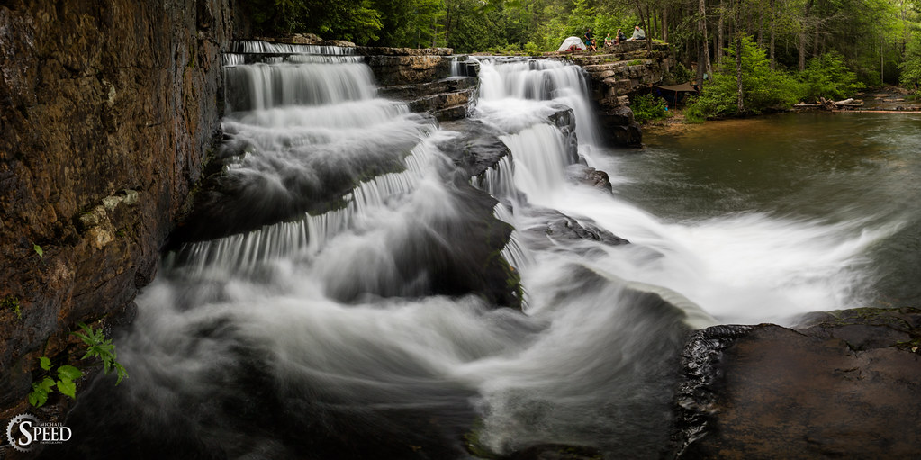
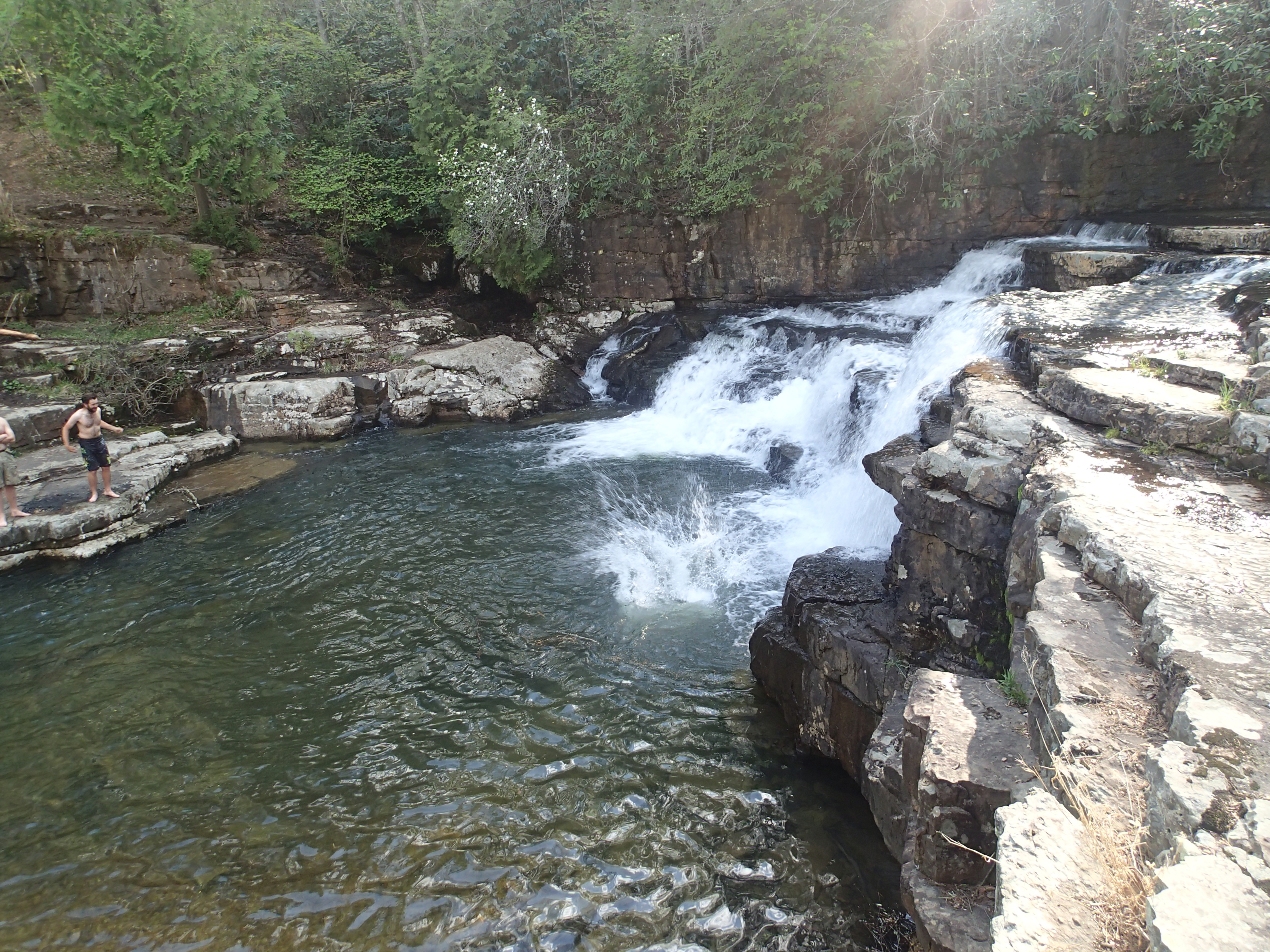
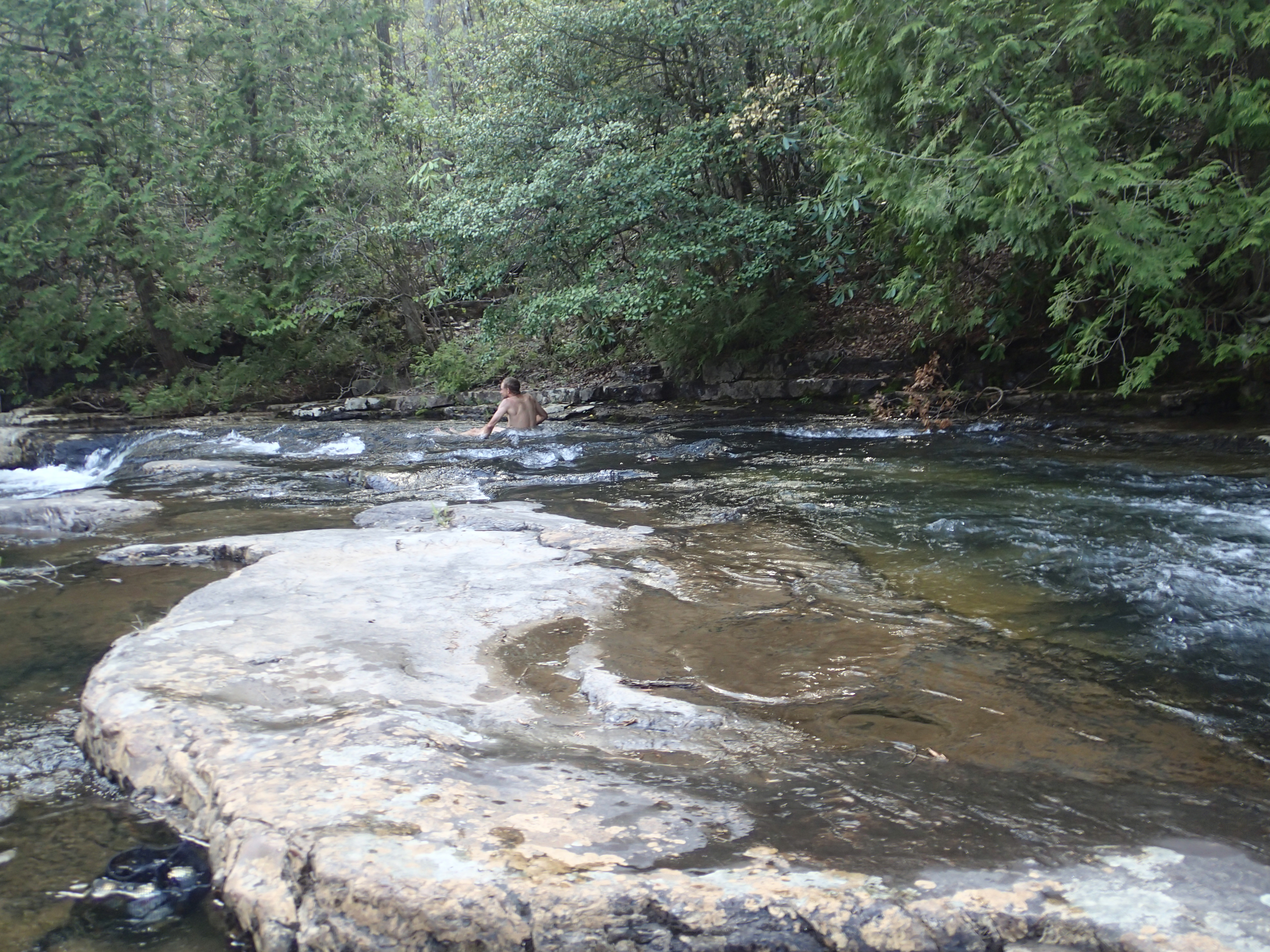
Thru-Hikers at Dismal Falls
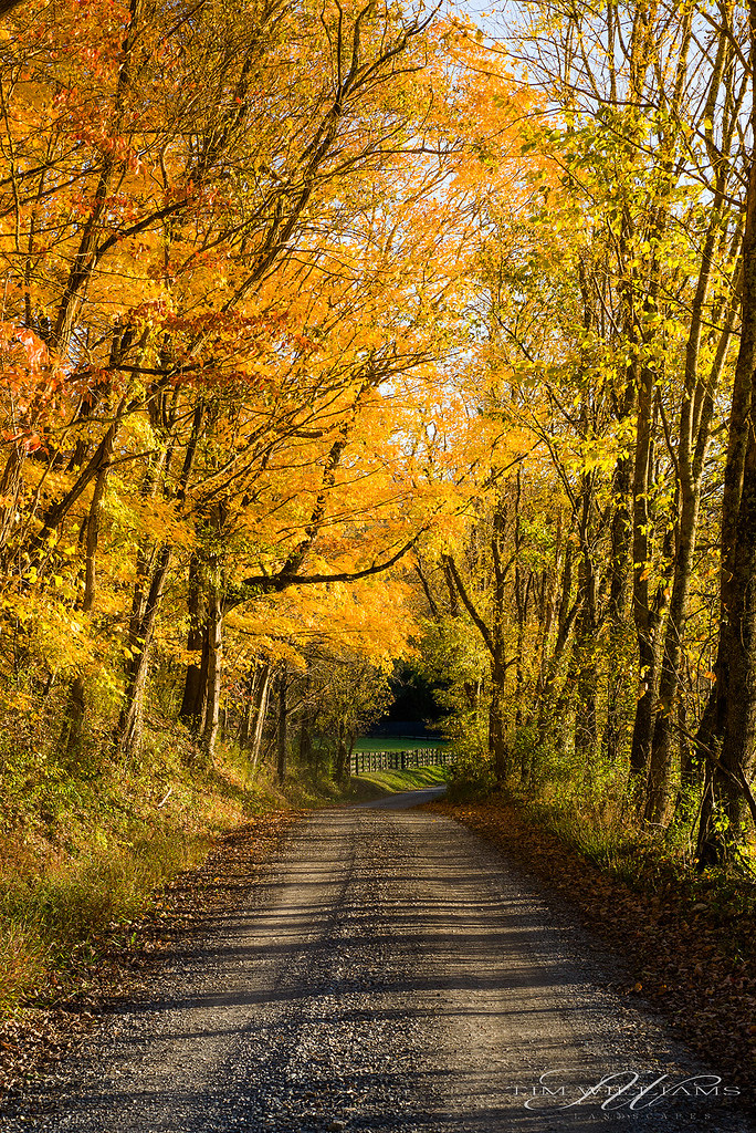
Fall drive
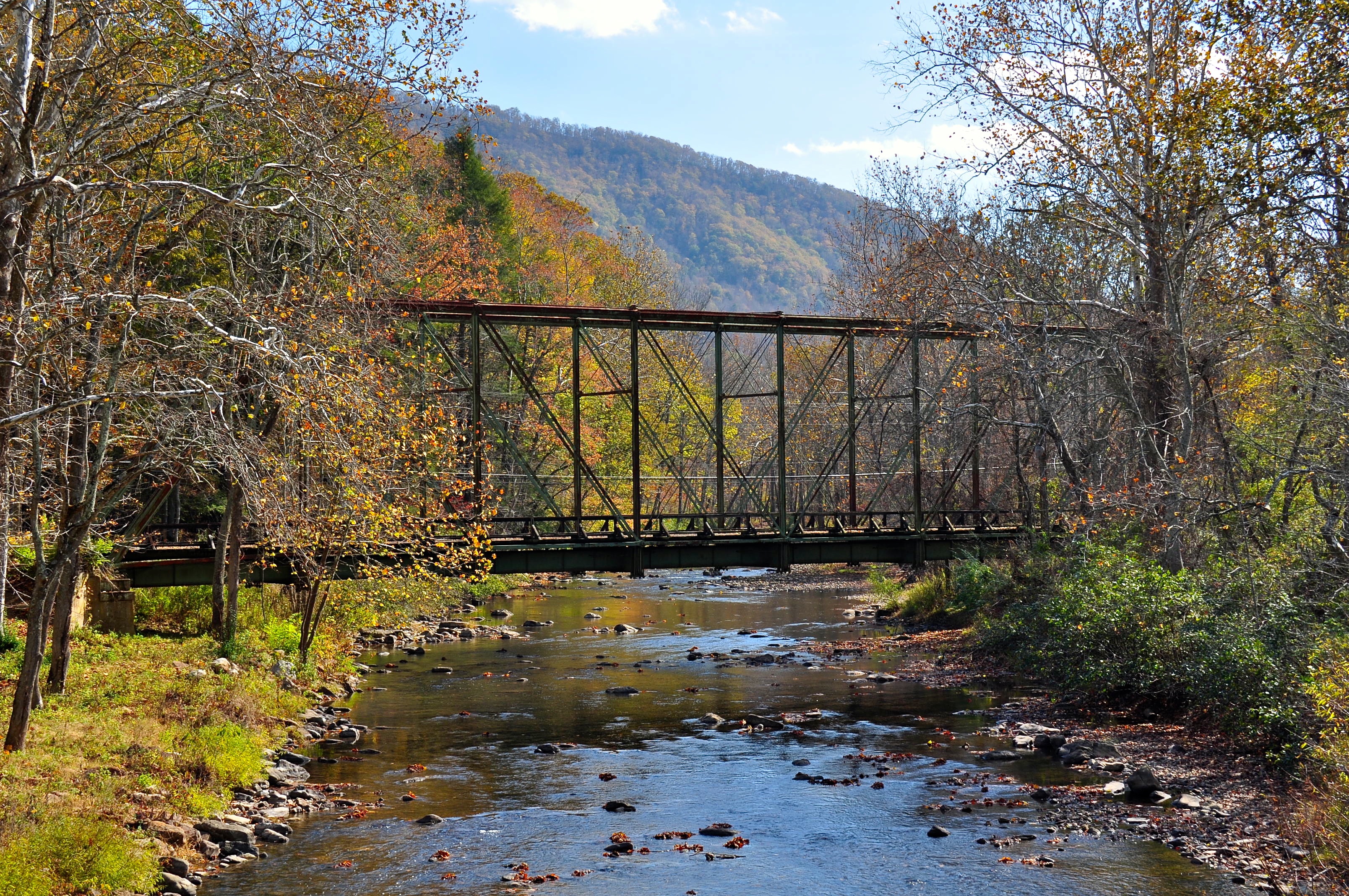
Wolf Creek Bridge
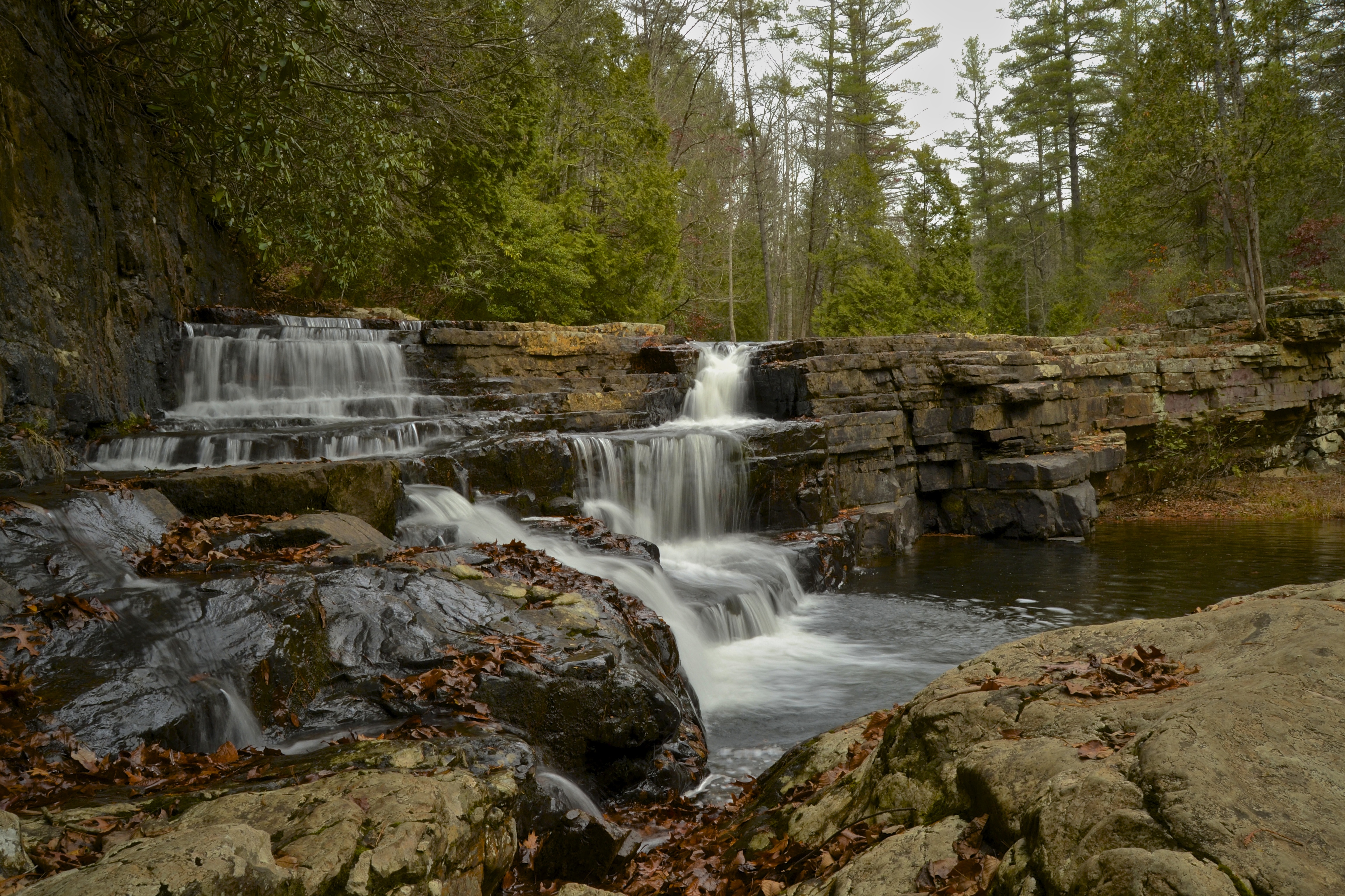
Falls Of Dismal

P5069246.JPG
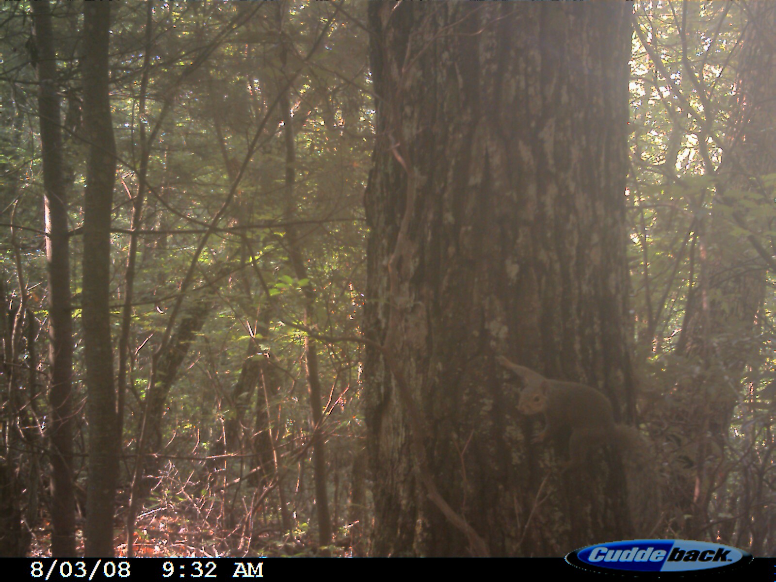
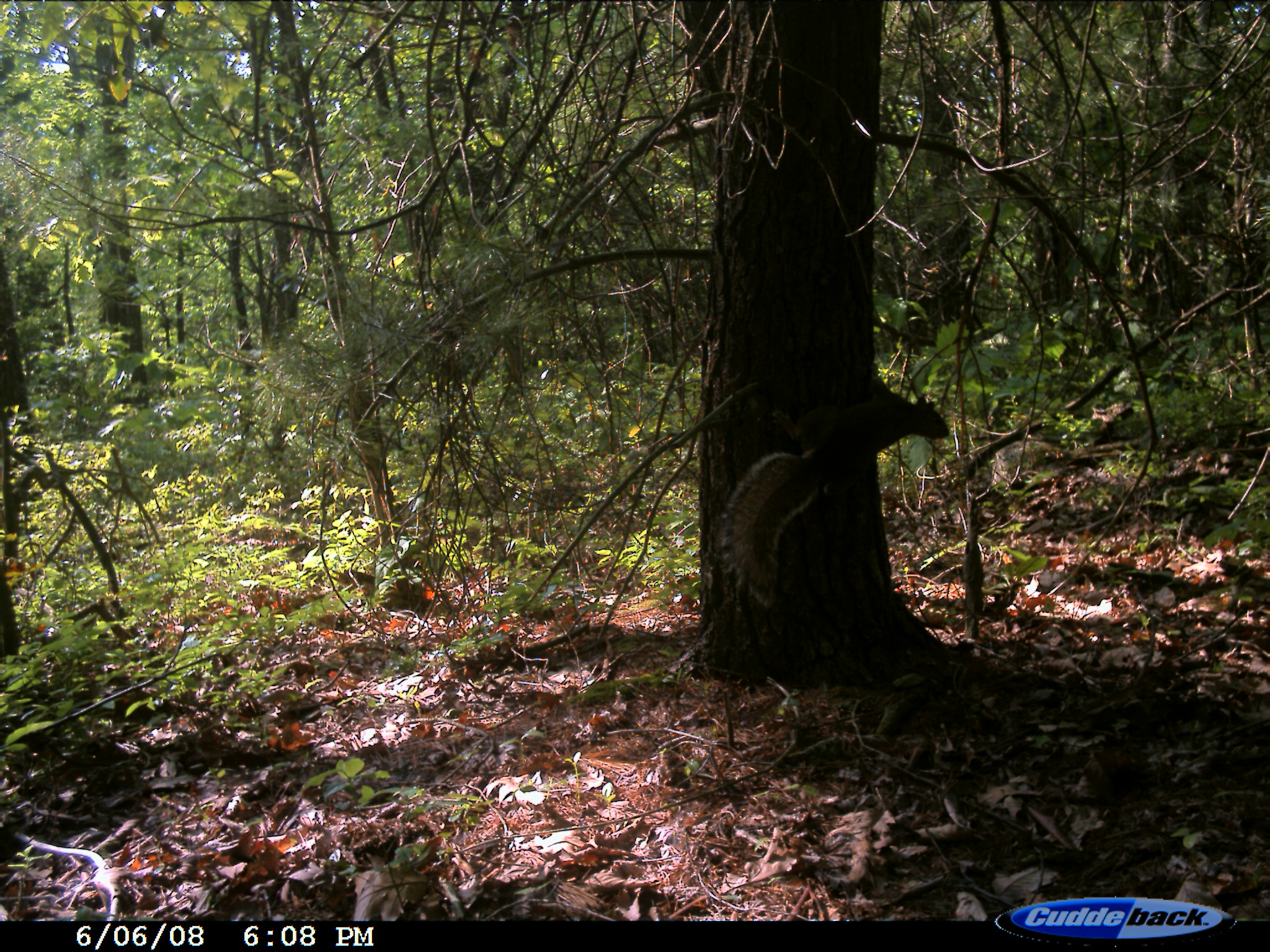
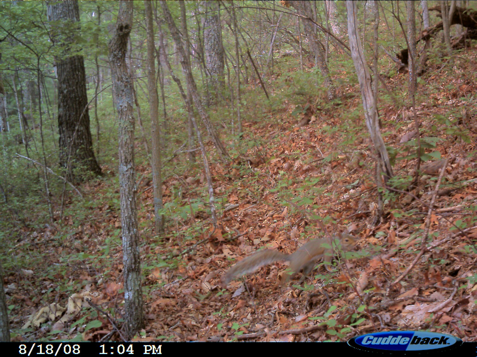
Eastern Fox Squirrel
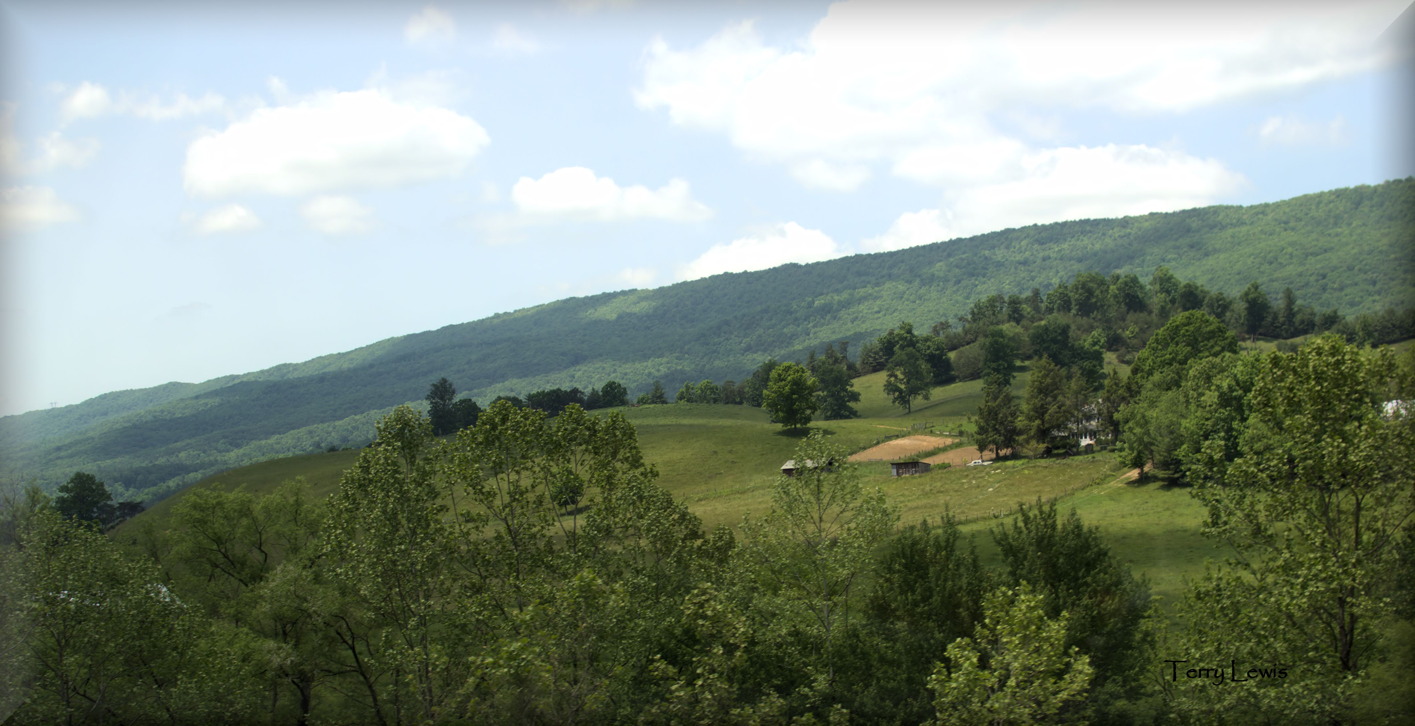
Rural Virginia
6-6-15 236
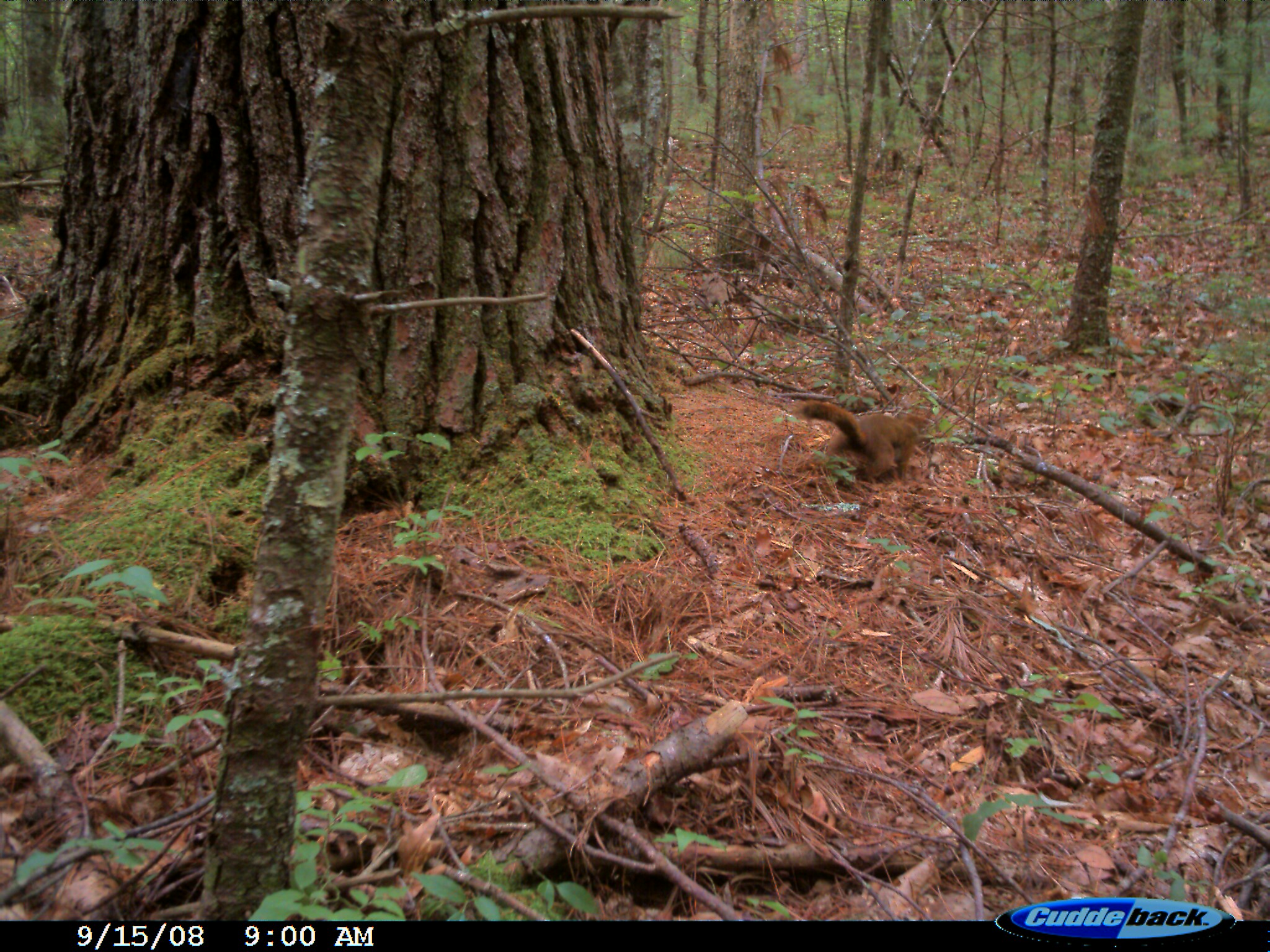
Eastern Fox Squirrel
Eastern Fox Squirrel
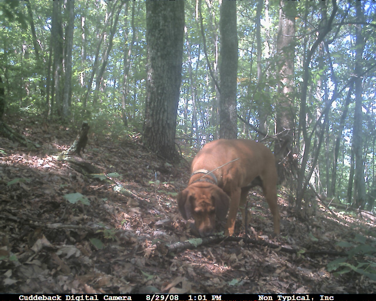
Domestic Dog
P5069308.JPG
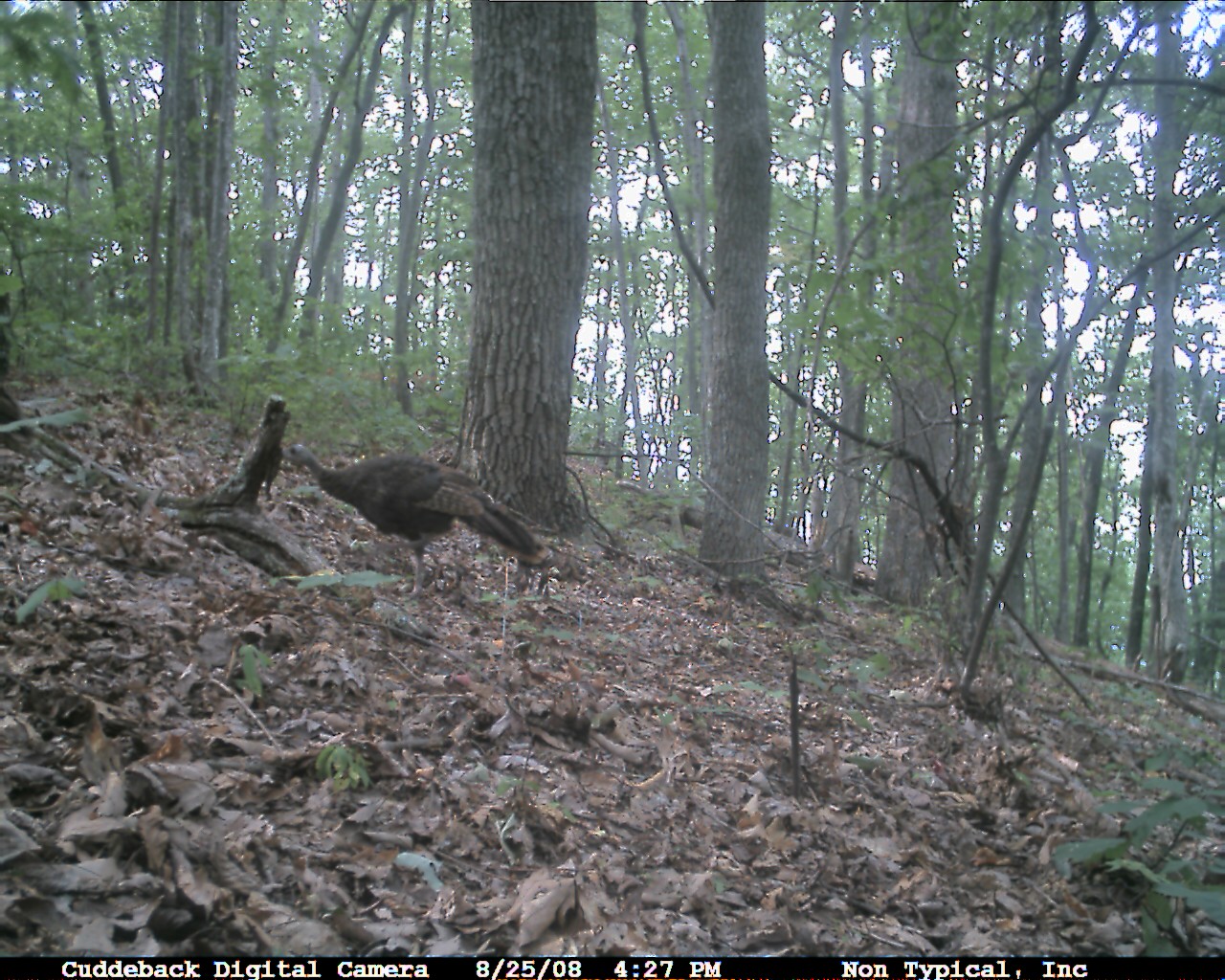
Wild Turkey
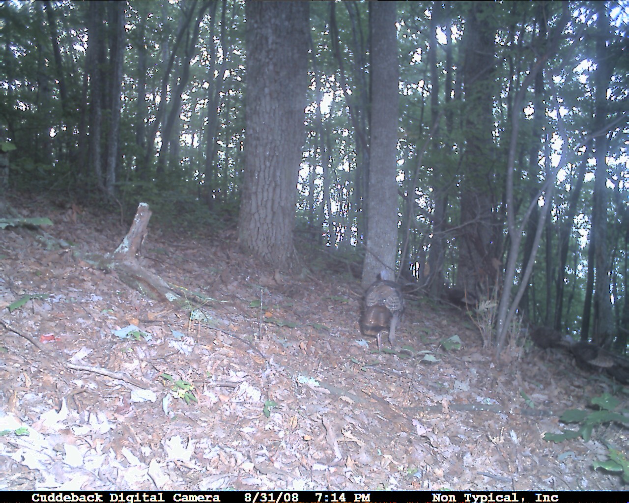
Wild Turkey

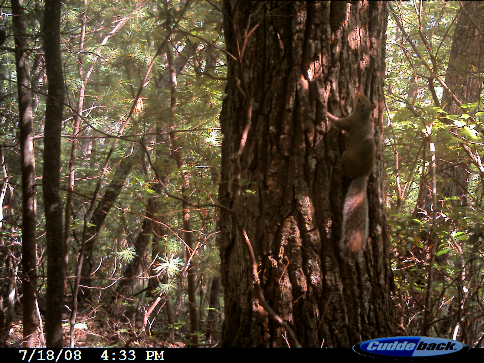
Eastern Fox Squirrel
Eastern Fox Squirrel
P5069321.JPG
Eastern Fox Squirrel
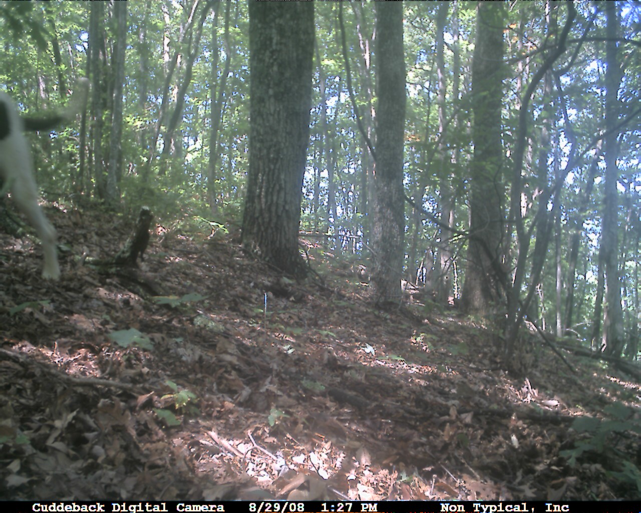
Domestic Dog
Eastern Gray Squirrel
P5069224.JPG
Topographic Map of Wilderness Rd, Bland, VA, USA
Find elevation by address:

Places near Wilderness Rd, Bland, VA, USA:
5749 Wilderness Rd
4193 Wilderness Rd
3, VA, USA
E Blue Grass Trail, Bland, VA, USA
527 No Business Rd
527 No Business Rd
Kimberling Road
Kimberling Road
Kimberling Road
6903 Wolf Creek Hwy
1754 Little Creek Rd
2, VA, USA
2764 Shady Branch Cir
515 Walkers Creek Rd
4, VA, USA
376 Southview Ln
168 Southview Ln
8955 N Scenic Hwy
Rocky Gap
Hogback Ridge Road
Recent Searches:
- Elevation of Lampiasi St, Sarasota, FL, USA
- Elevation of Elwyn Dr, Roanoke Rapids, NC, USA
- Elevation of Congressional Dr, Stevensville, MD, USA
- Elevation of Bellview Rd, McLean, VA, USA
- Elevation of Stage Island Rd, Chatham, MA, USA
- Elevation of Shibuya Scramble Crossing, 21 Udagawacho, Shibuya City, Tokyo -, Japan
- Elevation of Jadagoniai, Kaunas District Municipality, Lithuania
- Elevation of Pagonija rock, Kranto 7-oji g. 8"N, Kaunas, Lithuania
- Elevation of Co Rd 87, Jamestown, CO, USA
- Elevation of Tenjo, Cundinamarca, Colombia