Elevation of Wilderness Rd, Bland, VA, USA
Location: United States > Virginia > Bland County > >
Longitude: -80.962754
Latitude: 37.1855783
Elevation: 654m / 2146feet
Barometric Pressure: 94KPa
Elevation Map:
Satellite Map:
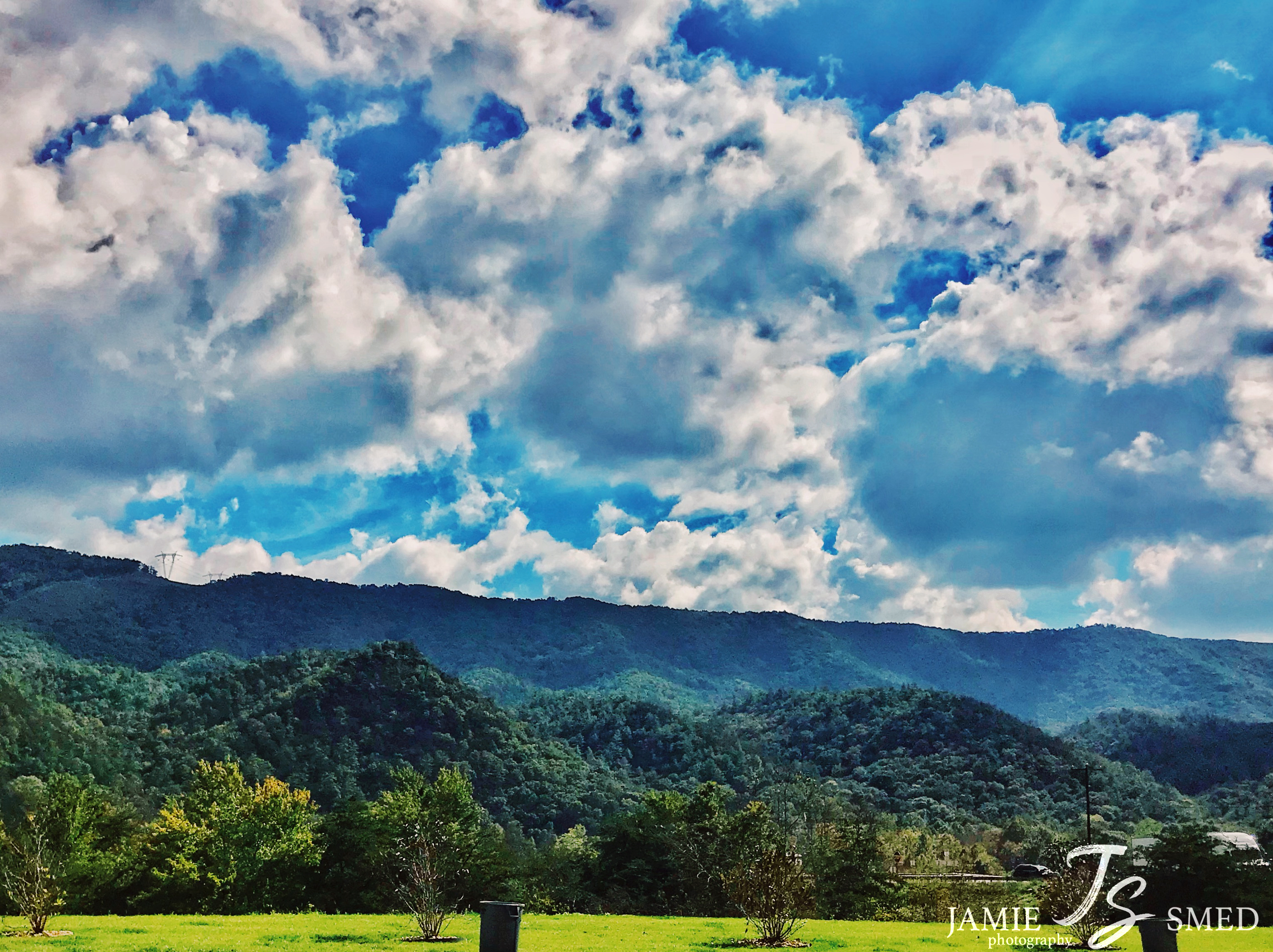
Related Photos:

2012 and 2013 memories, respectively, of writing years on roadsides in the night in rural Virginia.

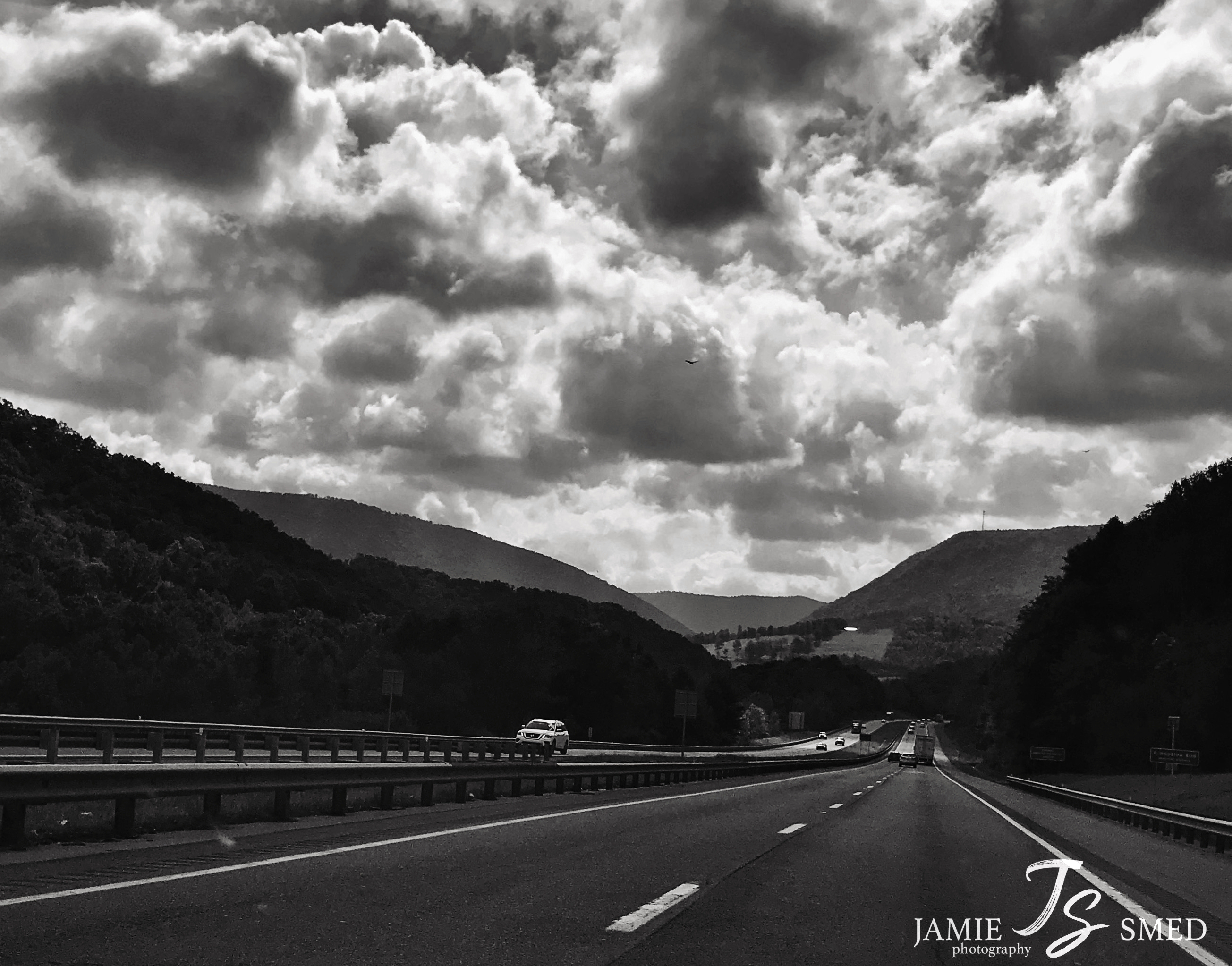
Fall drive

IMG_7146.JPG

IMG_7182.JPG
IMG_2369.JPG

P5069309.JPG

P5069308.JPG

P5069290.JPG

IMG_2305.JPG

P5069293.JPG

P5069301.JPG

P5069298.JPG

P5069288.JPG

JFRM-2017-05-7741-Pano.jpg

Wolf Creek Bridge

The Low Road

Thru-Hikers at Dismal Falls

Falls Of Dismal

Eastern Fox Squirrel

IMG_4587.JPG
IMG_4735.JPG

IMG_4433.JPG
Topographic Map of Wilderness Rd, Bland, VA, USA
Find elevation by address:

Places near Wilderness Rd, Bland, VA, USA:
5749 Wilderness Rd
5749 Wilderness Rd
3, VA, USA
E Blue Grass Trail, Bland, VA, USA
Kimberling Road
Kimberling Road
Kimberling Road
527 No Business Rd
527 No Business Rd
6903 Wolf Creek Hwy
1754 Little Creek Rd
2, VA, USA
2764 Shady Branch Cir
515 Walkers Creek Rd
4, VA, USA
376 Southview Ln
168 Southview Ln
8955 N Scenic Hwy
Rocky Gap
Hogback Ridge Road
Recent Searches:
- Elevation of Lampiasi St, Sarasota, FL, USA
- Elevation of Elwyn Dr, Roanoke Rapids, NC, USA
- Elevation of Congressional Dr, Stevensville, MD, USA
- Elevation of Bellview Rd, McLean, VA, USA
- Elevation of Stage Island Rd, Chatham, MA, USA
- Elevation of Shibuya Scramble Crossing, 21 Udagawacho, Shibuya City, Tokyo -, Japan
- Elevation of Jadagoniai, Kaunas District Municipality, Lithuania
- Elevation of Pagonija rock, Kranto 7-oji g. 8"N, Kaunas, Lithuania
- Elevation of Co Rd 87, Jamestown, CO, USA
- Elevation of Tenjo, Cundinamarca, Colombia