Elevation of E Blue Grass Trail, Bland, VA, USA
Location: United States > Virginia > Bland County > >
Longitude: -80.939489
Latitude: 37.1504732
Elevation: 695m / 2280feet
Barometric Pressure: 93KPa
Elevation Map:
Satellite Map:
Related Photos:
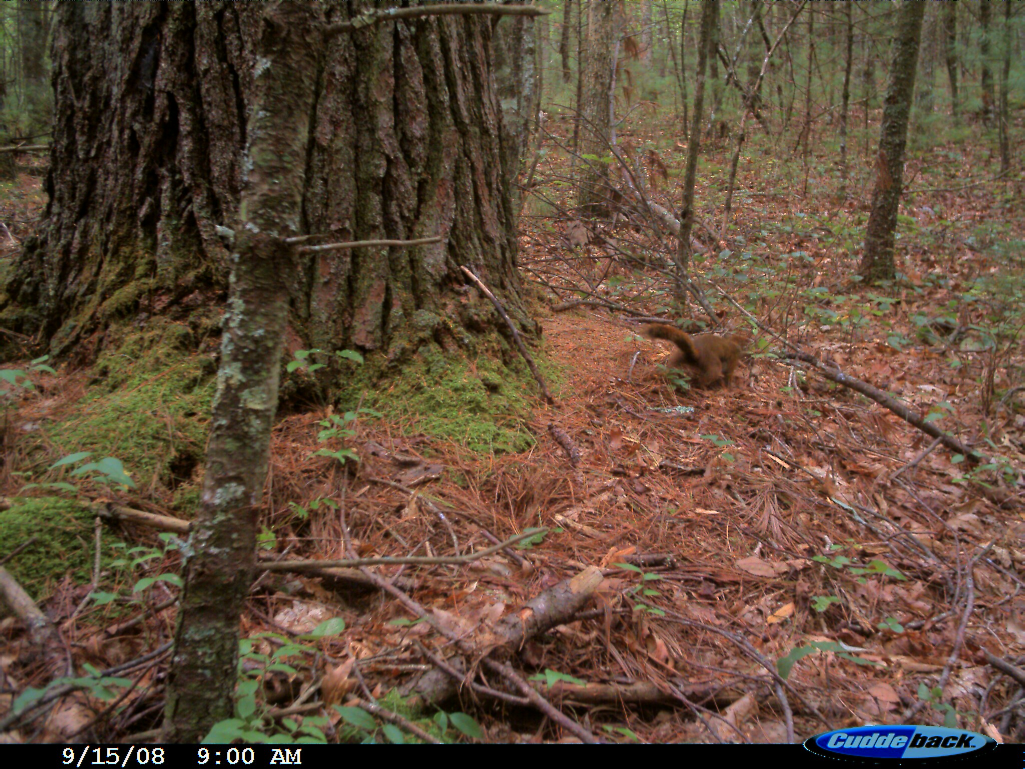
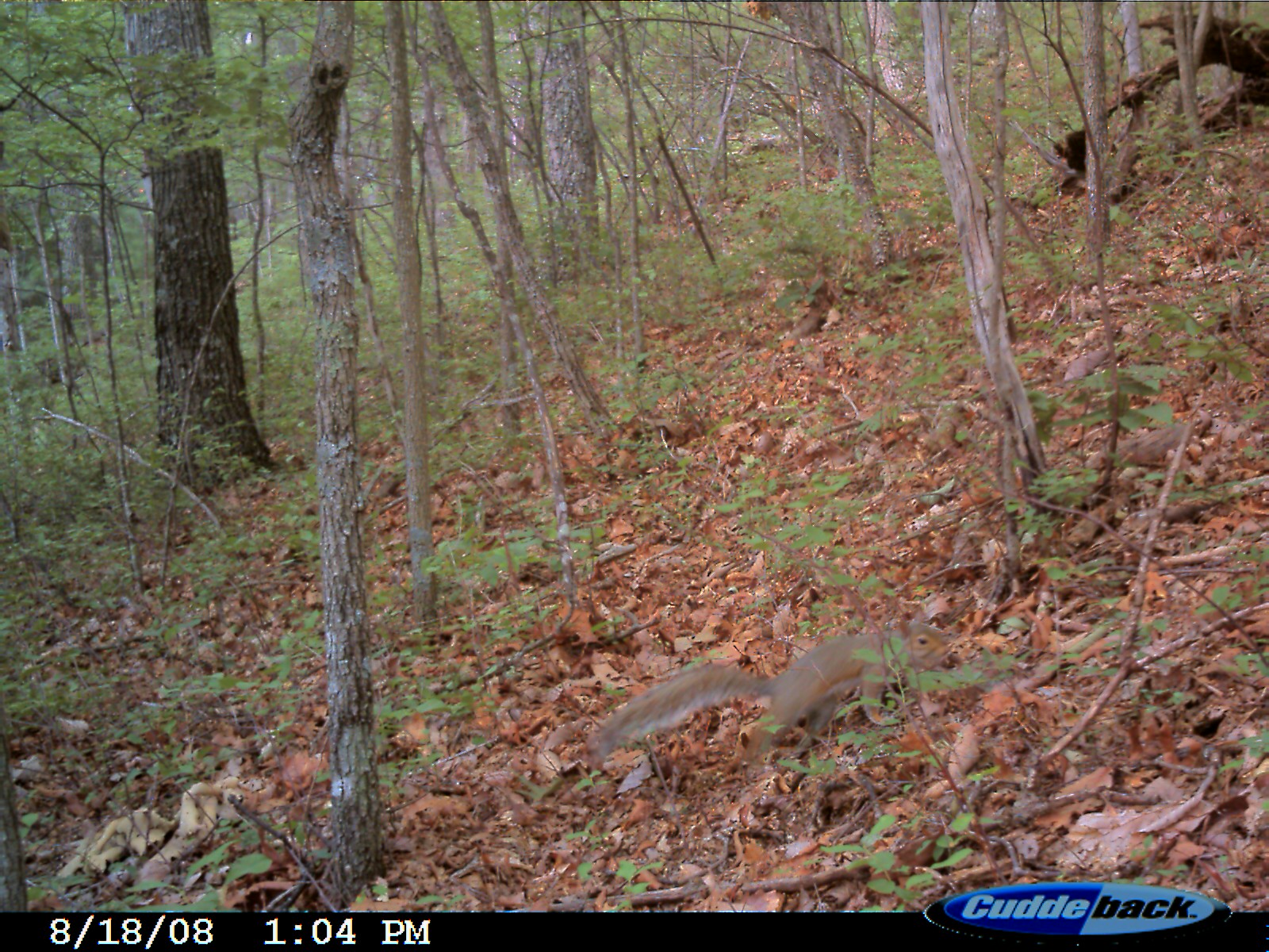
Eastern Fox Squirrel
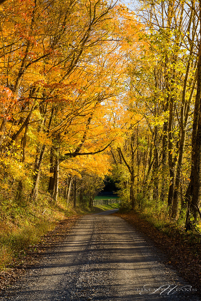
Fall drive
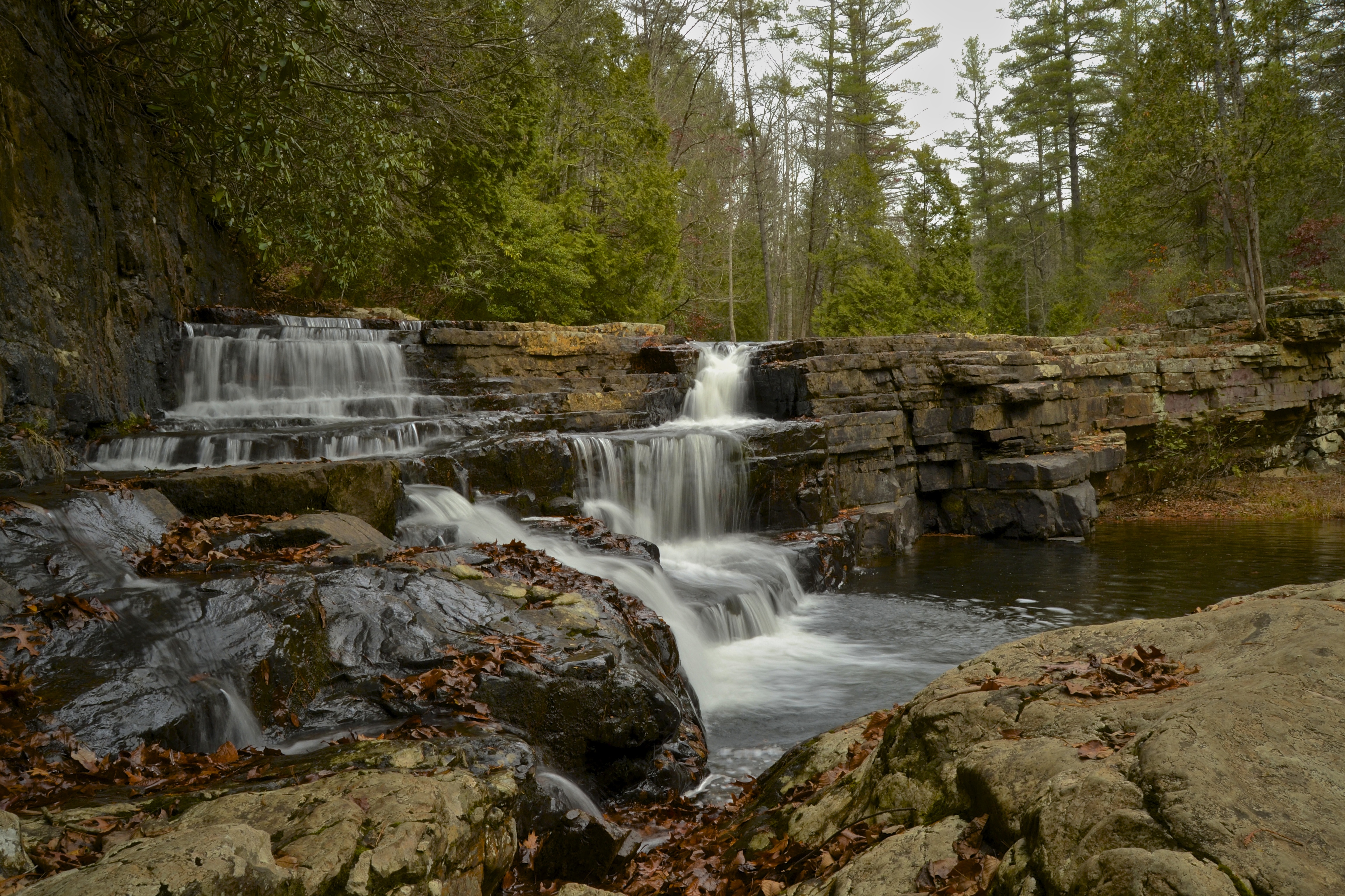
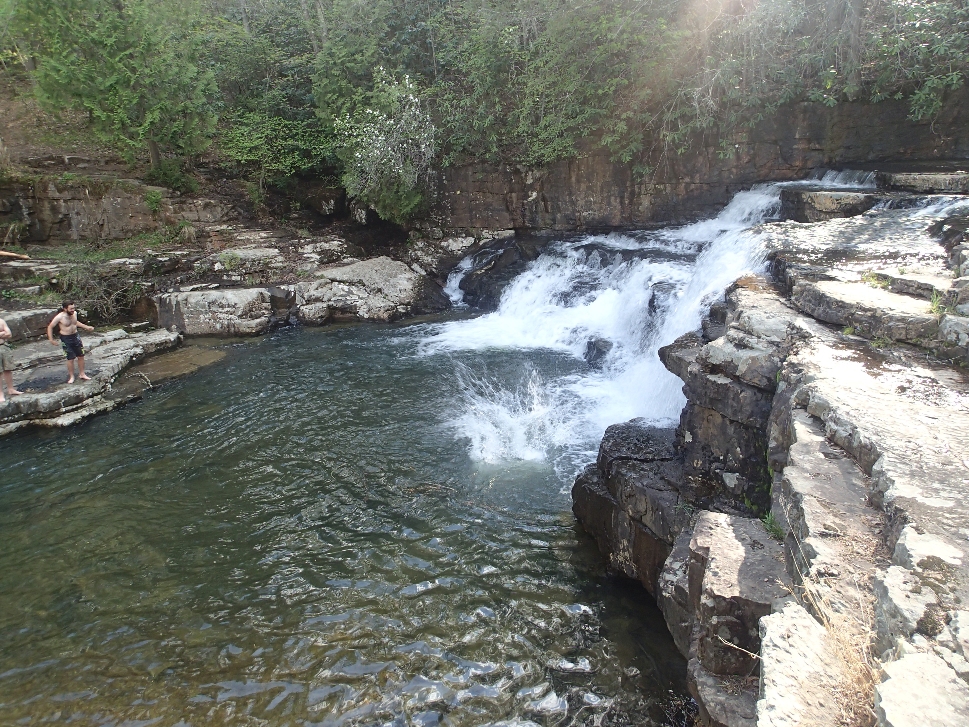
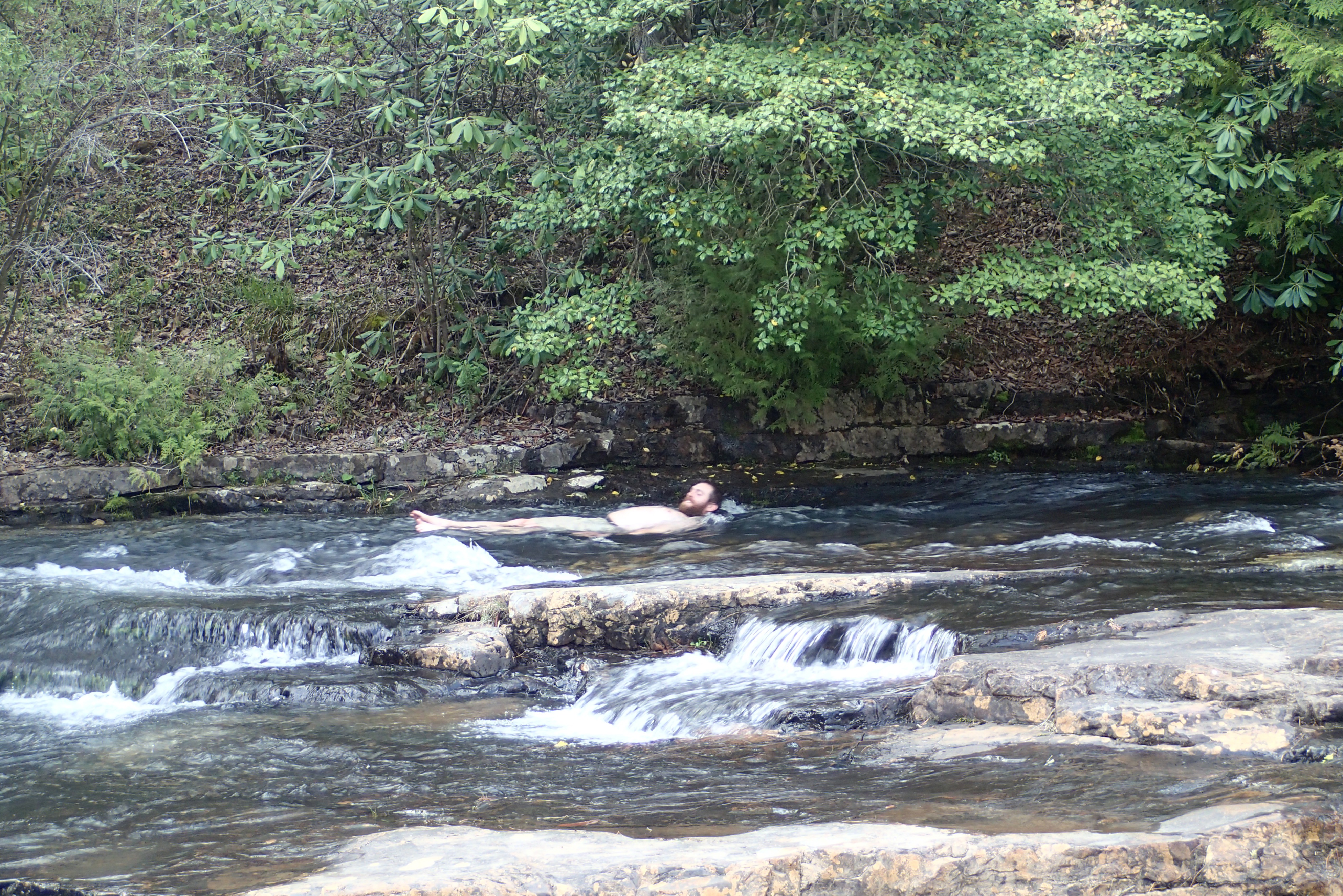
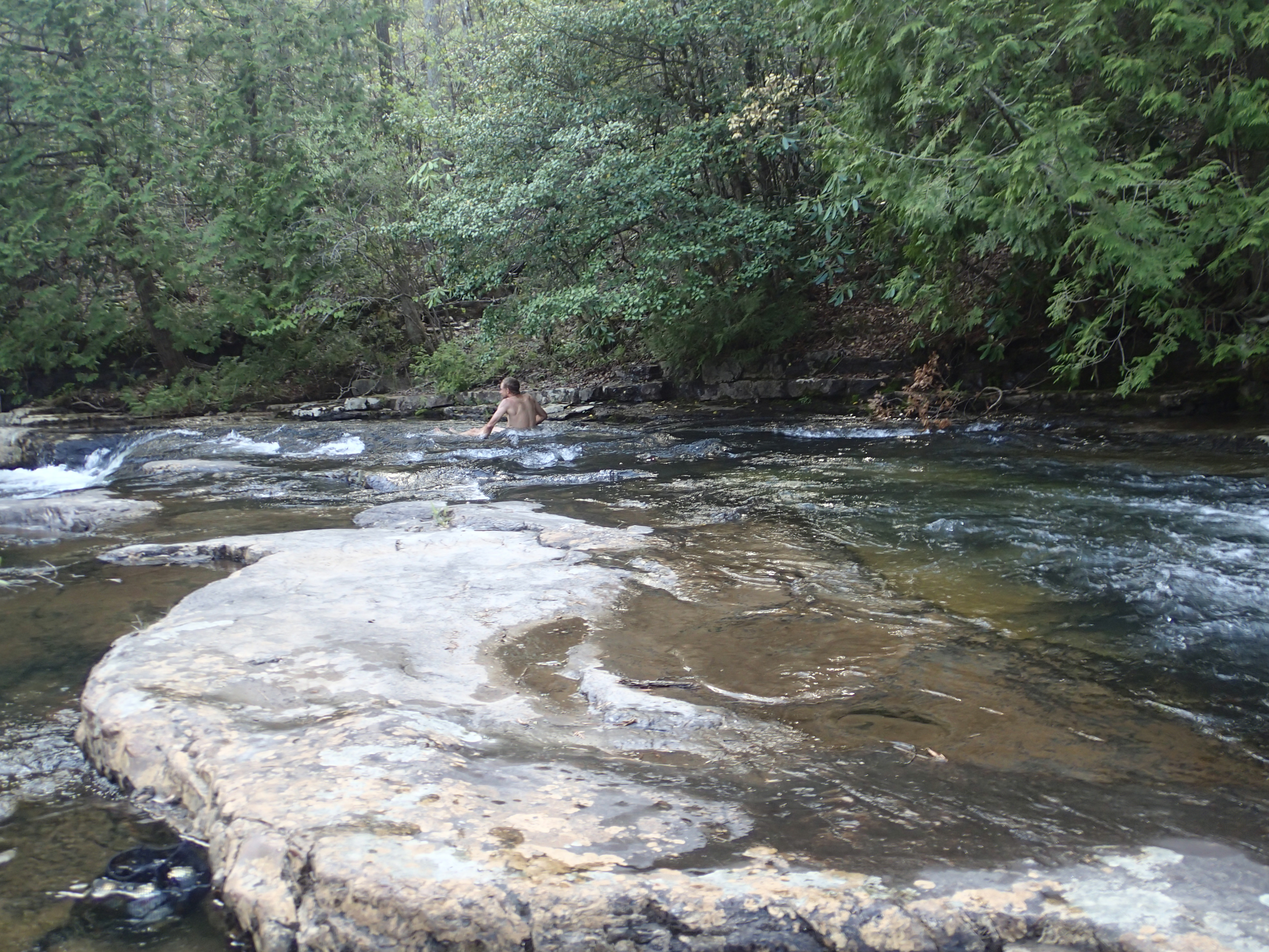
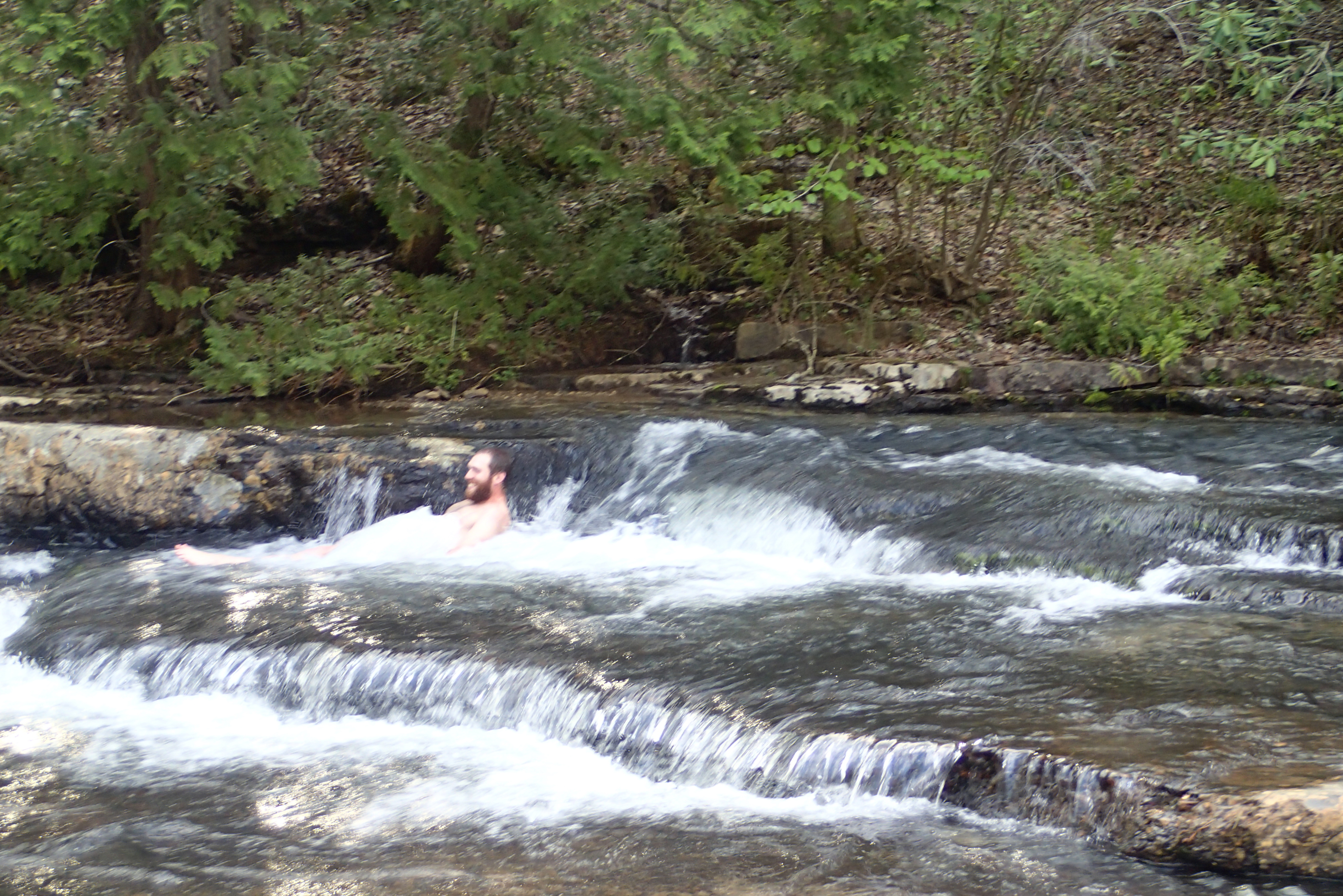
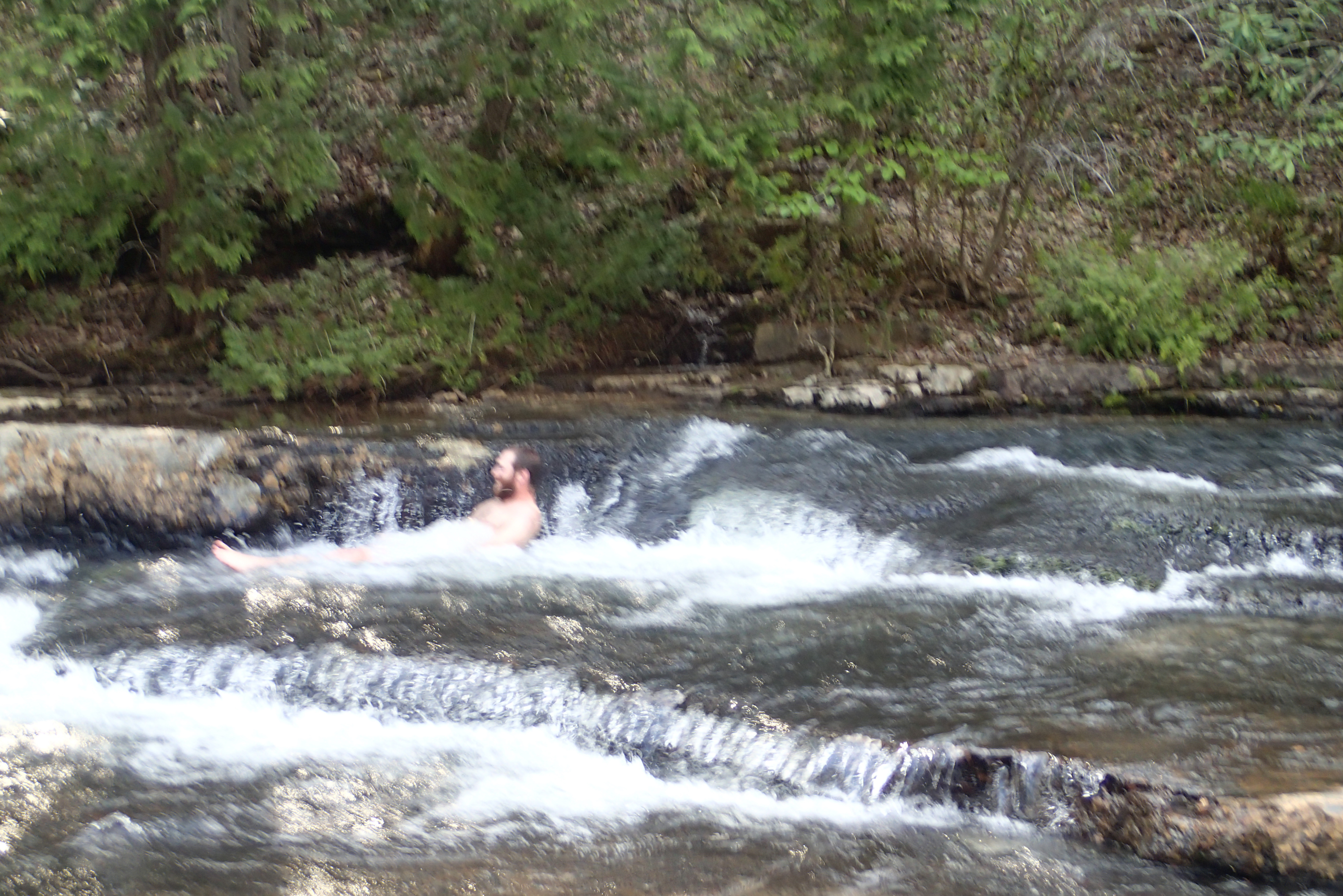
Falls Of Dismal

P5069246.JPG
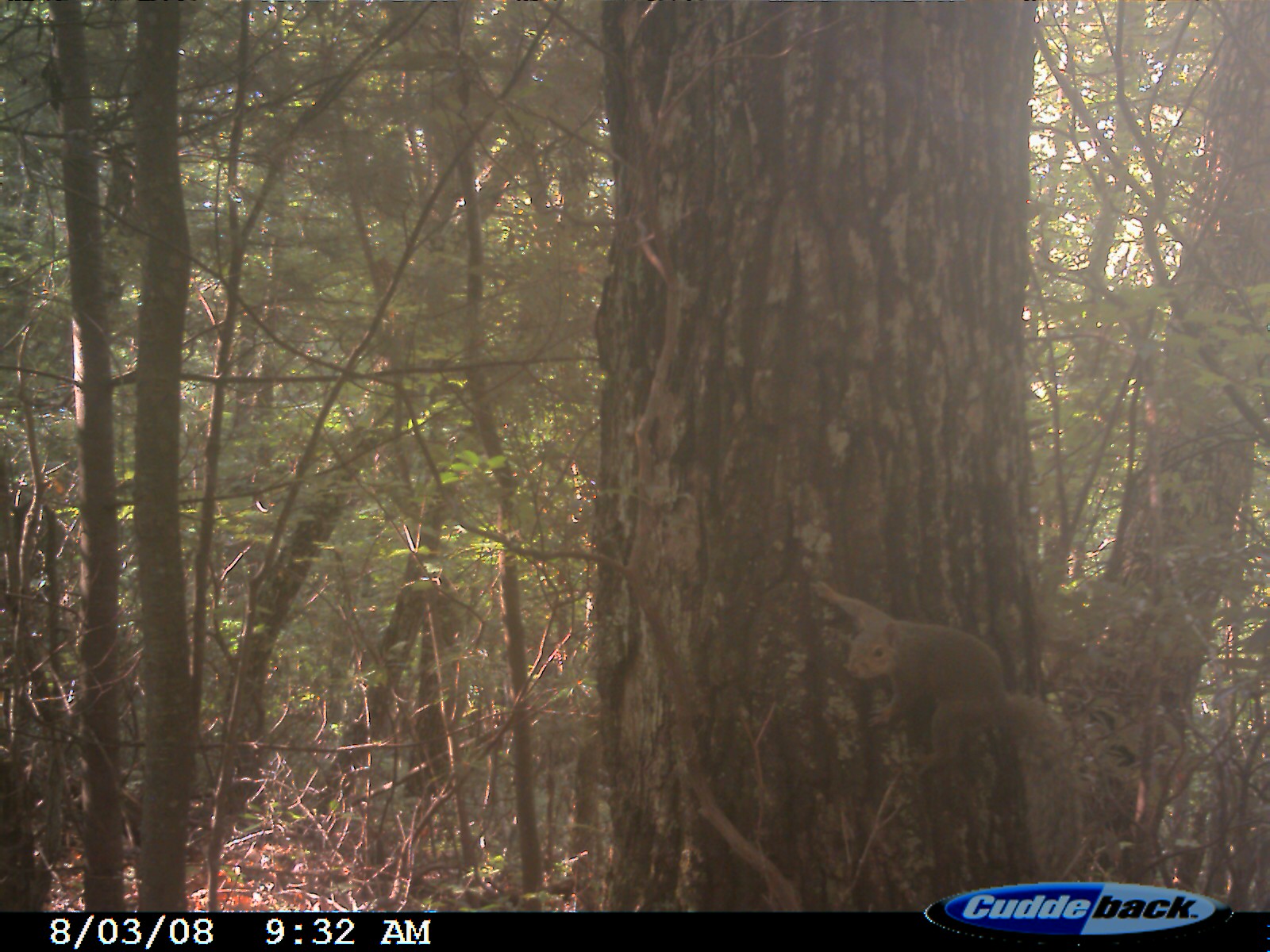
Eastern Fox Squirrel
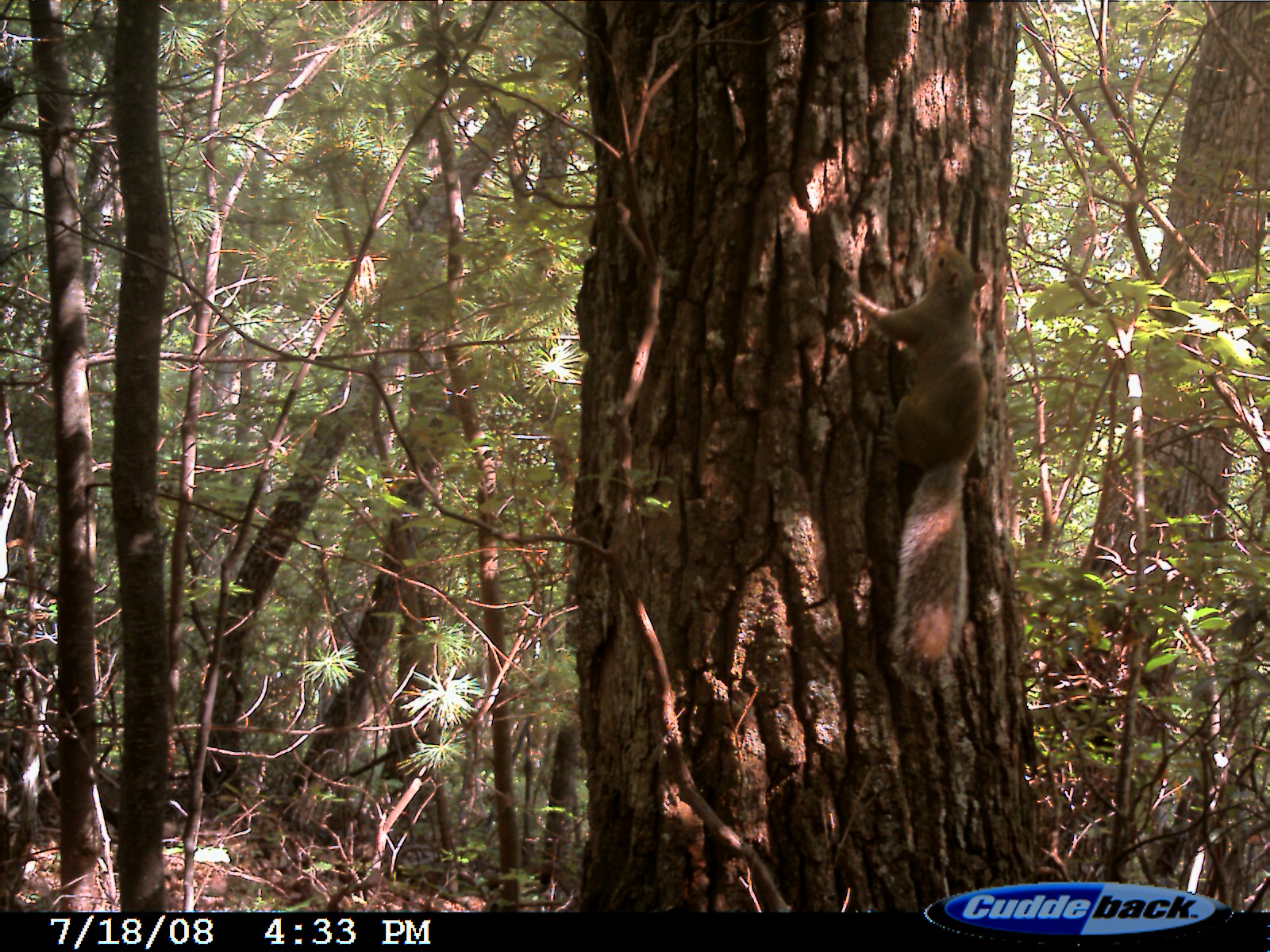
Eastern Fox Squirrel
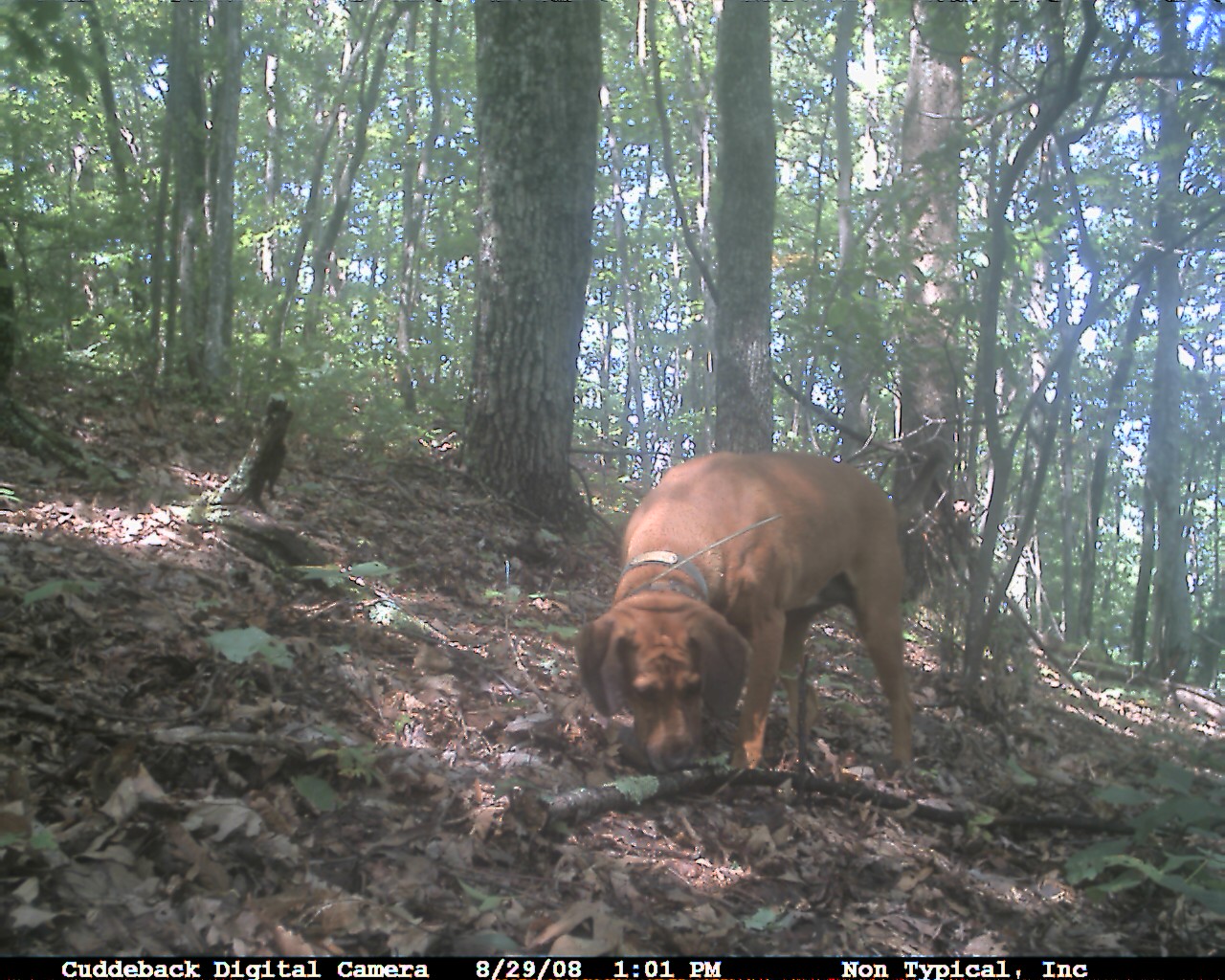
Domestic Dog
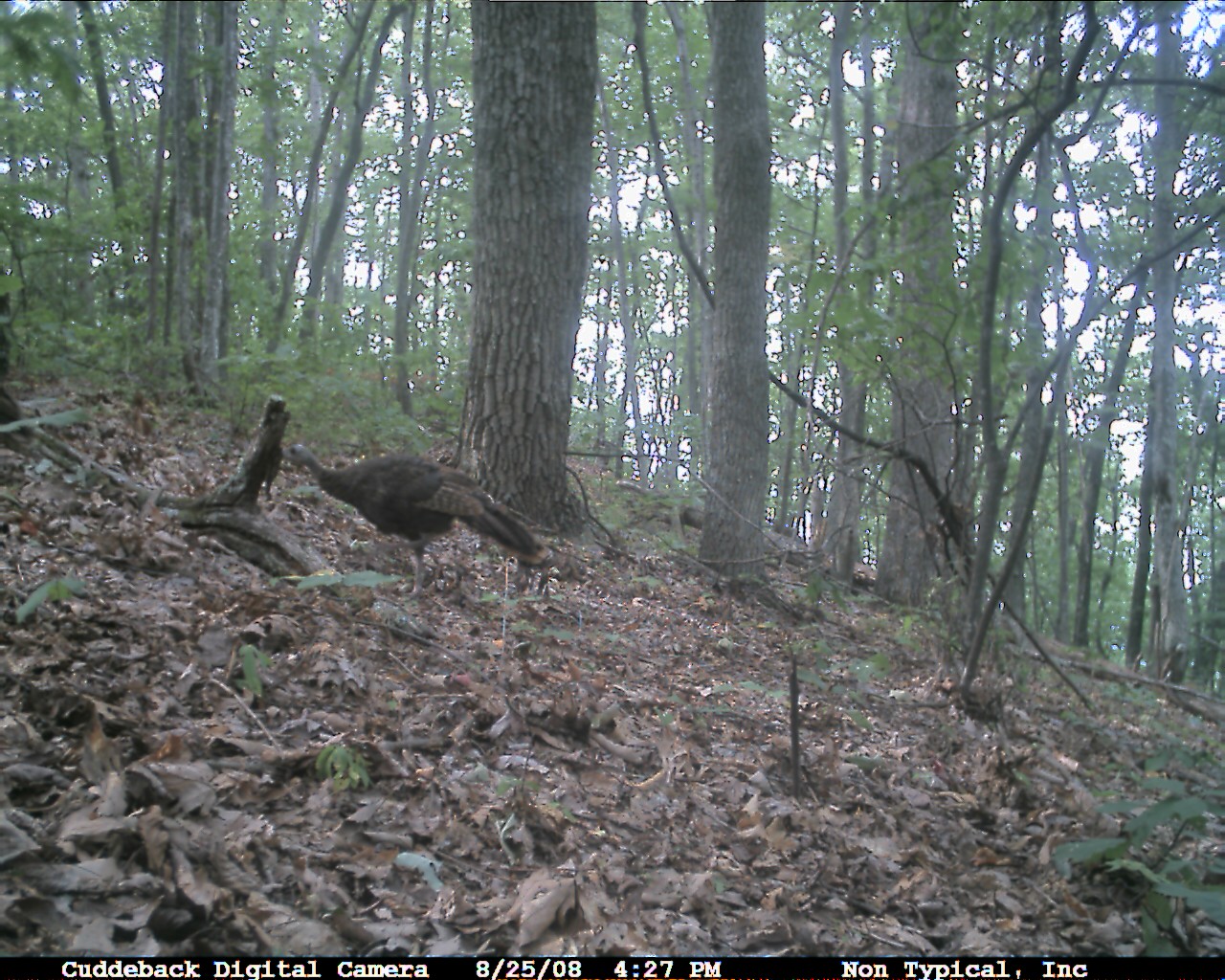
Wild Turkey
P5069308.JPG
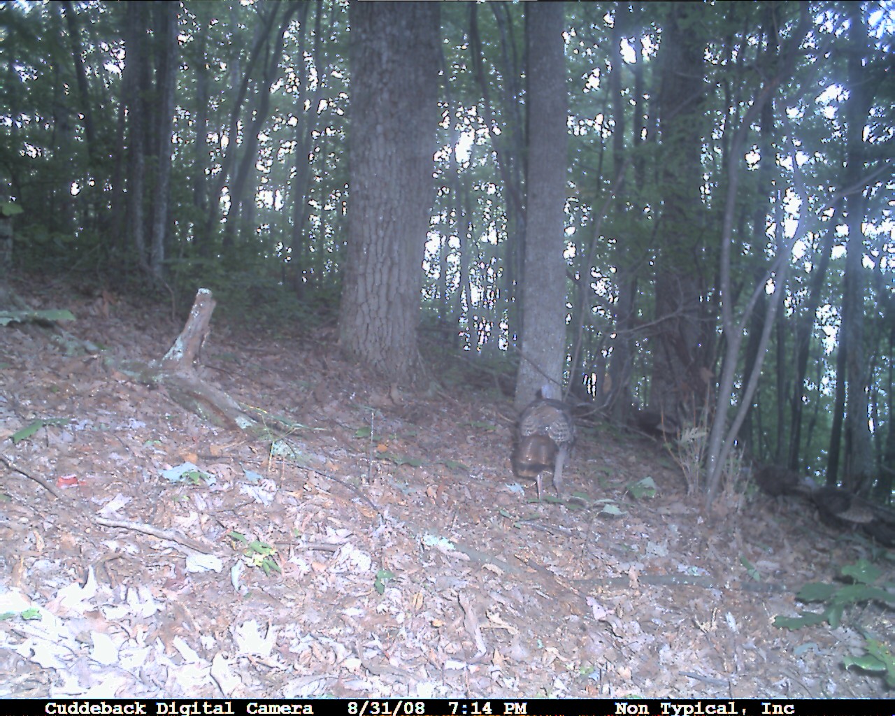
Wild Turkey

Eastern Fox Squirrel
Eastern Fox Squirrel
P5069321.JPG
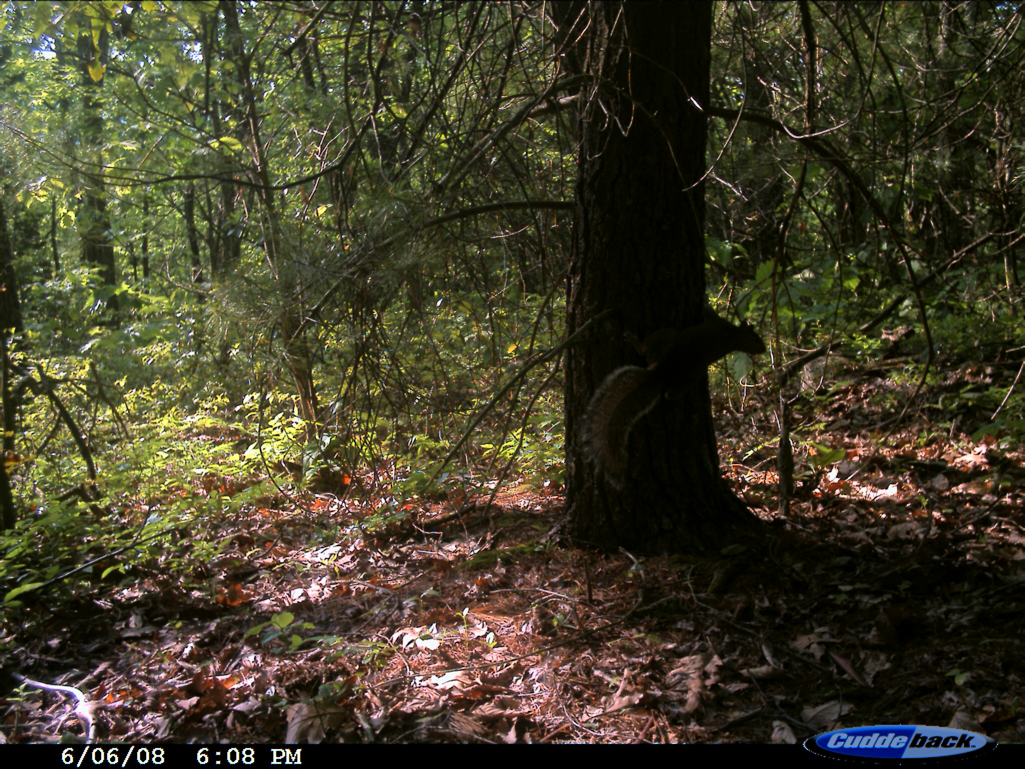
Eastern Fox Squirrel
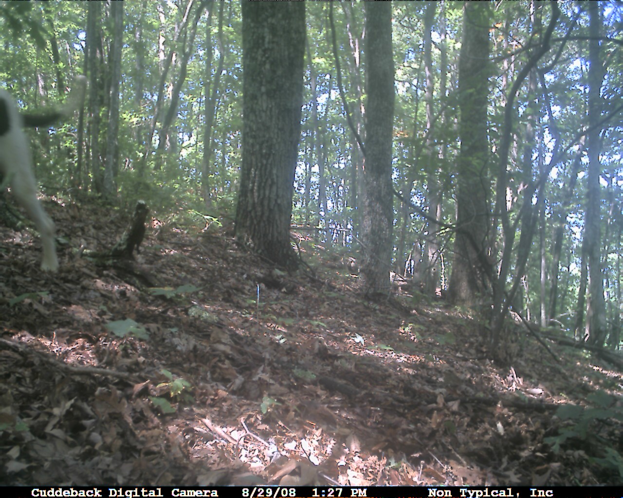
Domestic Dog
Eastern Gray Squirrel
P5069224.JPG
P5069328.JPG

P5069322.JPG
P5069327.JPG
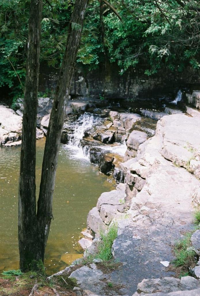
Falls of Dismal
Topographic Map of E Blue Grass Trail, Bland, VA, USA
Find elevation by address:

Places near E Blue Grass Trail, Bland, VA, USA:
3, VA, USA
5749 Wilderness Rd
5749 Wilderness Rd
4193 Wilderness Rd
Kimberling Road
Kimberling Road
Kimberling Road
1754 Little Creek Rd
527 No Business Rd
527 No Business Rd
2, VA, USA
6903 Wolf Creek Hwy
515 Walkers Creek Rd
376 Southview Ln
168 Southview Ln
2764 Shady Branch Cir
4, VA, USA
Bland
Mountain Sky Properties, Inc.
8955 N Scenic Hwy
Recent Searches:
- Elevation of Corso Fratelli Cairoli, 35, Macerata MC, Italy
- Elevation of Tallevast Rd, Sarasota, FL, USA
- Elevation of 4th St E, Sonoma, CA, USA
- Elevation of Black Hollow Rd, Pennsdale, PA, USA
- Elevation of Oakland Ave, Williamsport, PA, USA
- Elevation of Pedrógão Grande, Portugal
- Elevation of Klee Dr, Martinsburg, WV, USA
- Elevation of Via Roma, Pieranica CR, Italy
- Elevation of Tavkvetili Mountain, Georgia
- Elevation of Hartfords Bluff Cir, Mt Pleasant, SC, USA