Elevation of Whitecap Mountains, W County Rd E, Upson, WI, USA
Location: United States > Wisconsin > Iron County > Anderson > Upson >
Longitude: -90.395193
Latitude: 46.4079894
Elevation: 451m / 1480feet
Barometric Pressure: 96KPa
Elevation Map:
Satellite Map:
Related Photos:
With Gravy
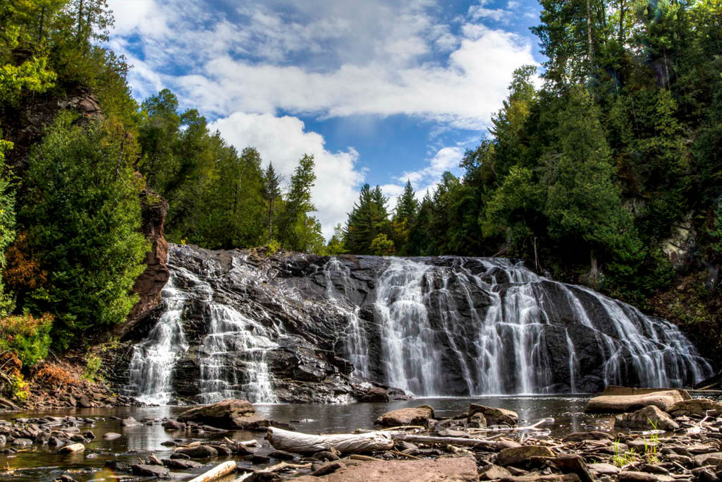
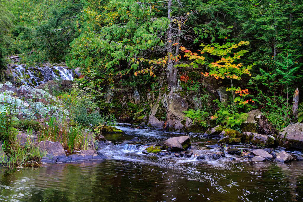
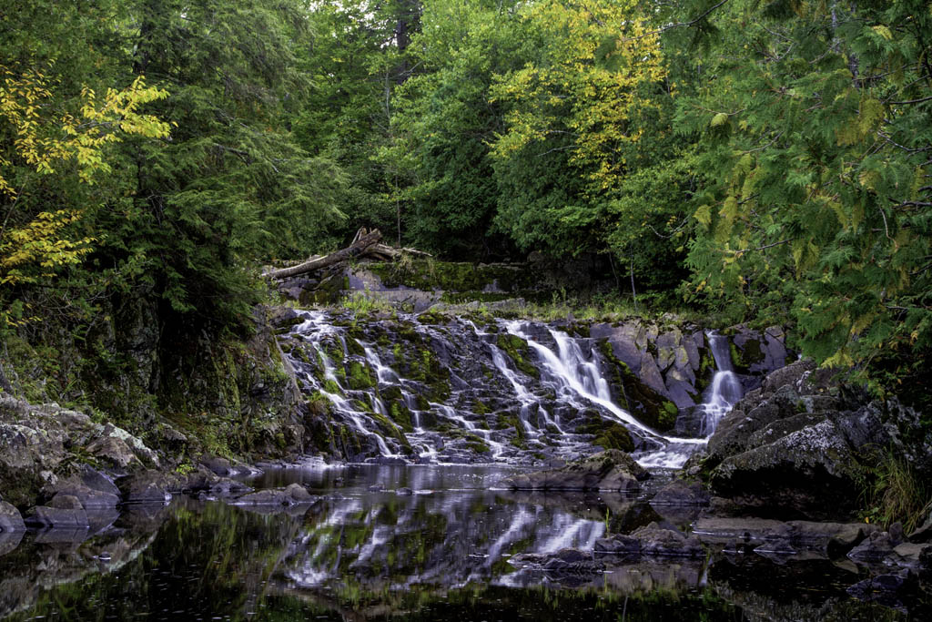
Upson Falls 10-01-10

Worlds Collide

Last paddle on the Gile

Storm over the Gile Flowage

Storm over the Gile Flowage

Rainbow over the Gile

Annie's Island, Gile Flowage, Iron County, WI

Gile Flowage, Iron County, WI

Gile Flowage, Iron County, WI
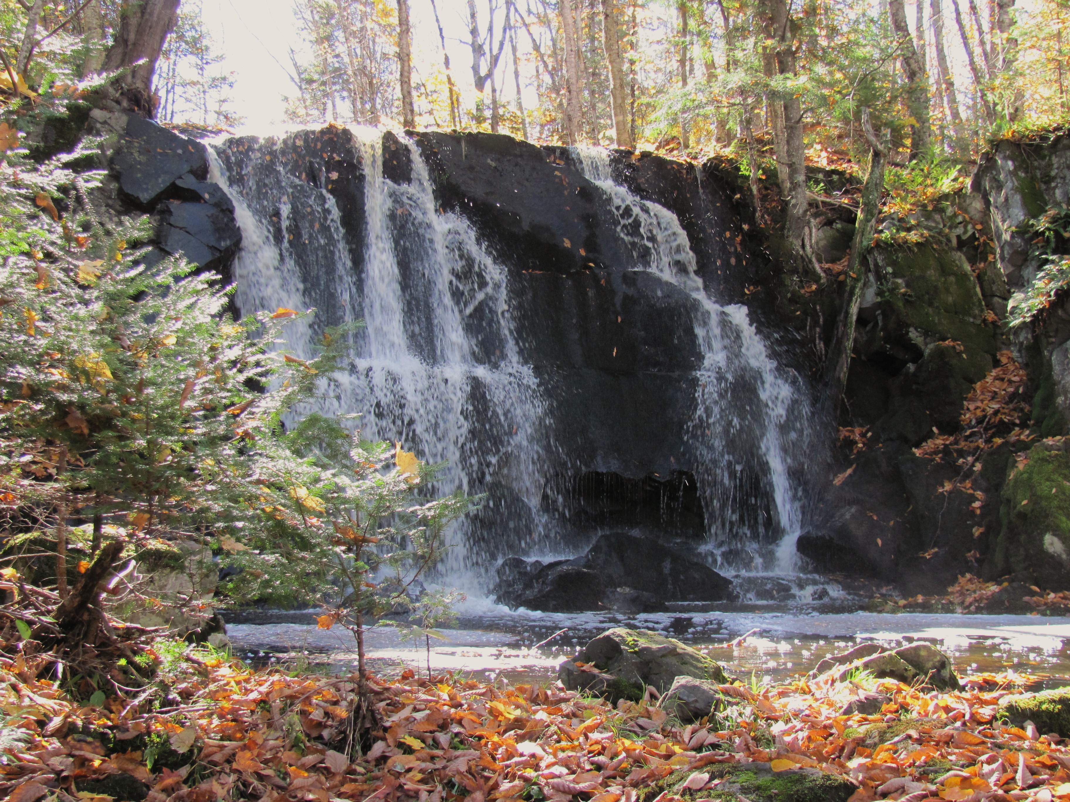
Upson Falls 10-07-11

Dave fishing on the Gile Flowage

Dave fishing on the Gile Flowage

rock 10
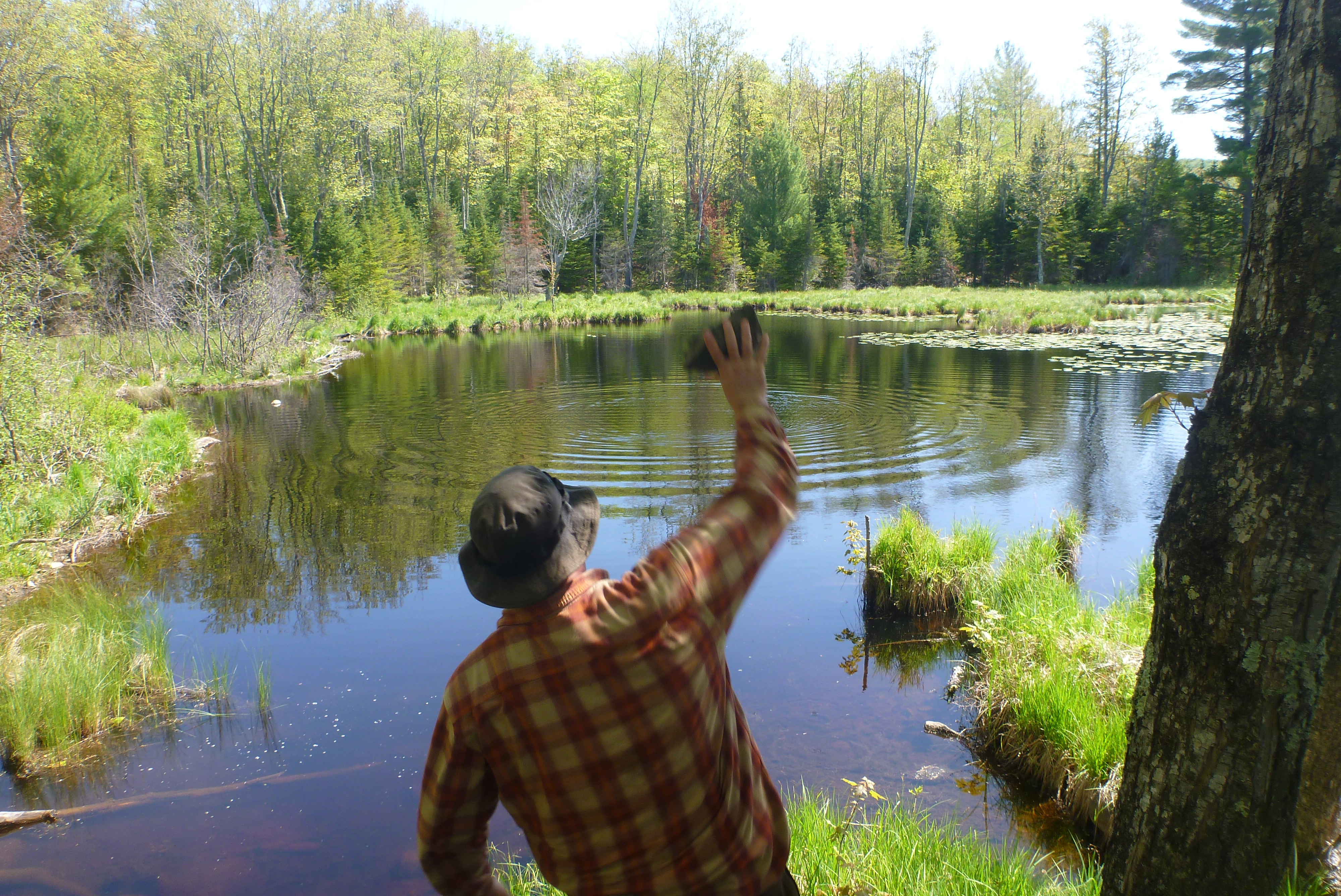
Throwing Stones
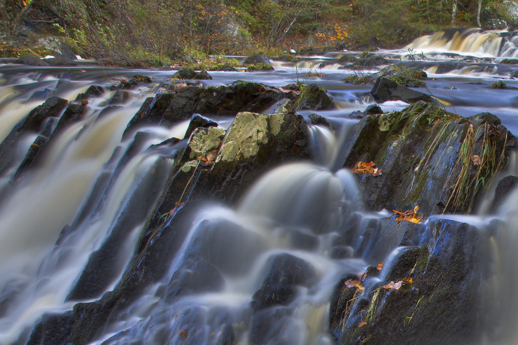
Falls Color
Potato River Falls 10-08011

three quarter season
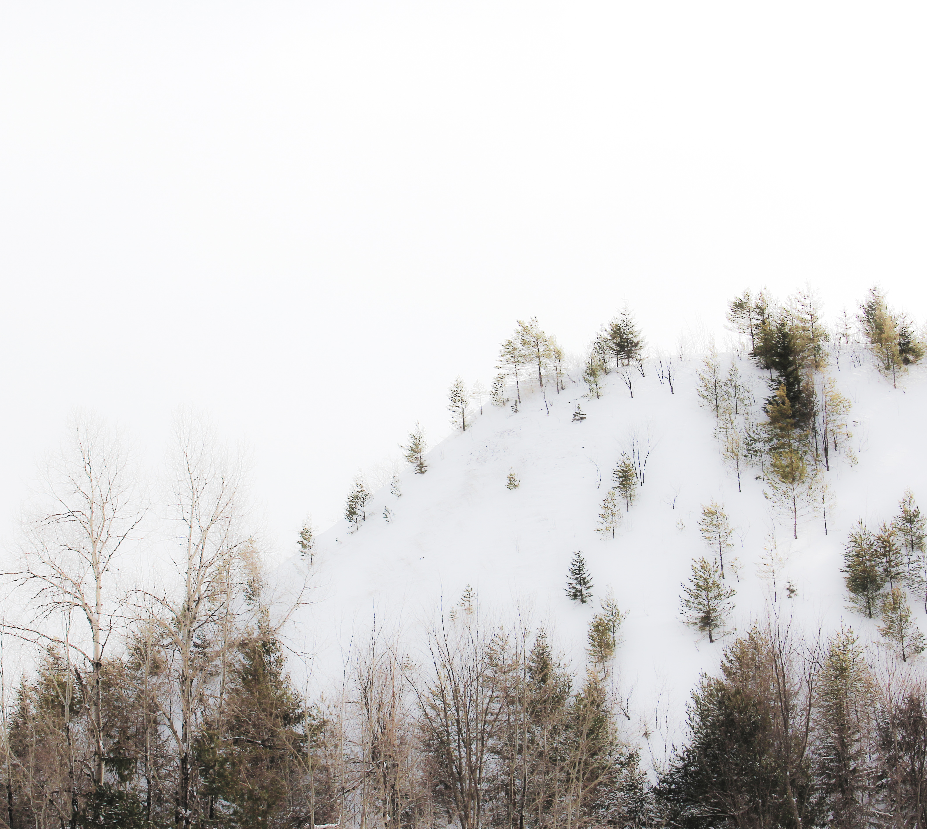
highlands winter
Rouse Falls in the Fall
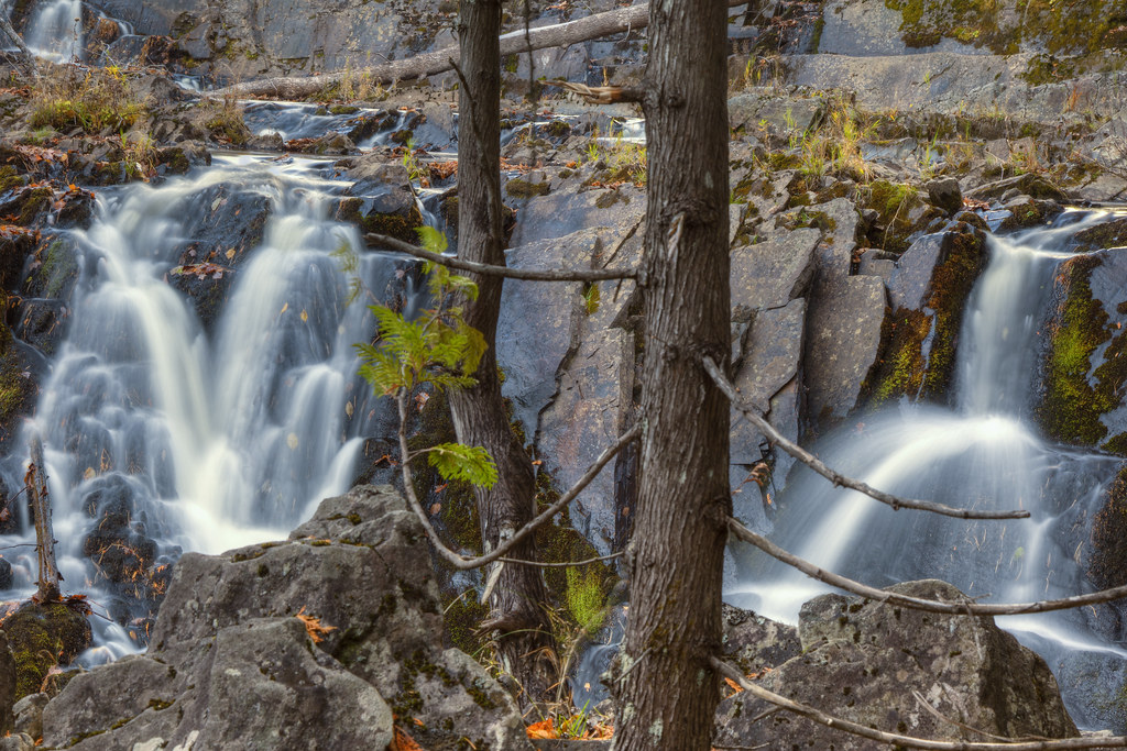
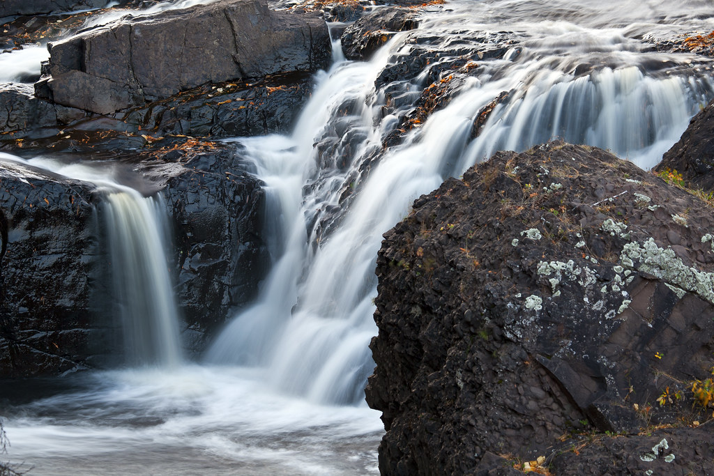
Running Water
Topographic Map of Whitecap Mountains, W County Rd E, Upson, WI, USA
Find elevation by address:

Places near Whitecap Mountains, W County Rd E, Upson, WI, USA:
Montreal
115 Wisconsin Ave
Ironwood
218 S Suffolk St
211 E Francis St
115 W Pine St
5178 Sunset Rd
503 E Oak St
518 E Houk St
E5054 Sunset Rd
100 S West St
Ironwood Township
Bessemer
Sandene Road
E7847
Marengo
Dorothy Rd, Marengo, WI, USA
White River
Abc Raceway
2347 Lake Shore Dr E
Recent Searches:
- Elevation of 24 Oakland Rd #, Scotland, ON N0E 1R0, Canada
- Elevation of Deep Gap Farm Rd E, Mill Spring, NC, USA
- Elevation of Dog Leg Dr, Minden, NV, USA
- Elevation of Dog Leg Dr, Minden, NV, USA
- Elevation of Kambingan Sa Pansol Atbp., Purok 7 Pansol, Candaba, Pampanga, Philippines
- Elevation of Pinewood Dr, New Bern, NC, USA
- Elevation of Mountain View, CA, USA
- Elevation of Foligno, Province of Perugia, Italy
- Elevation of Blauwestad, Netherlands
- Elevation of Bella Terra Blvd, Estero, FL, USA